June 22, 2020
Sedalia to Rocheport
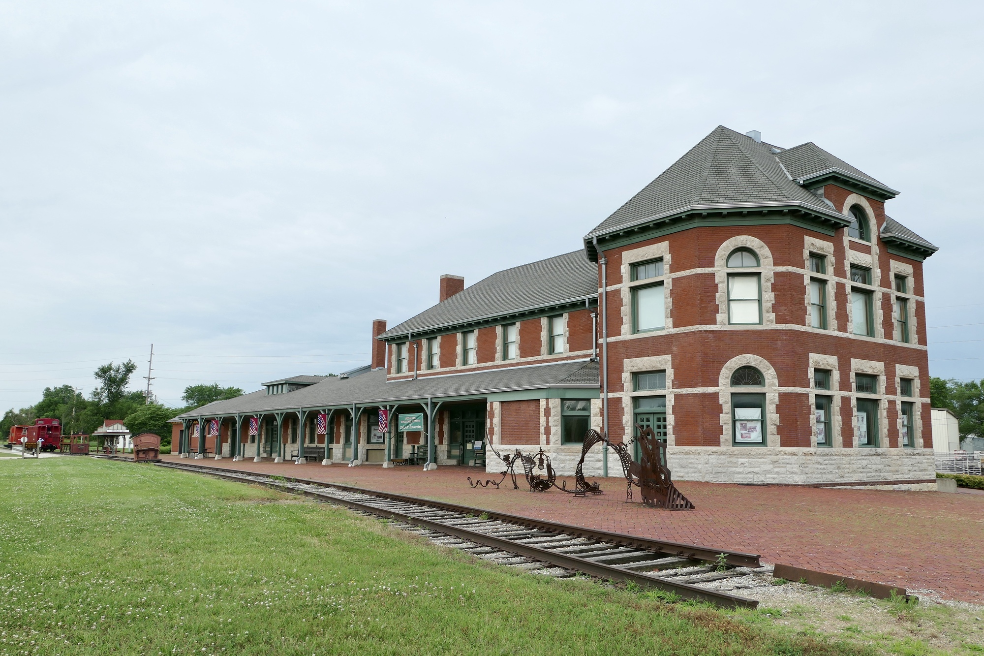
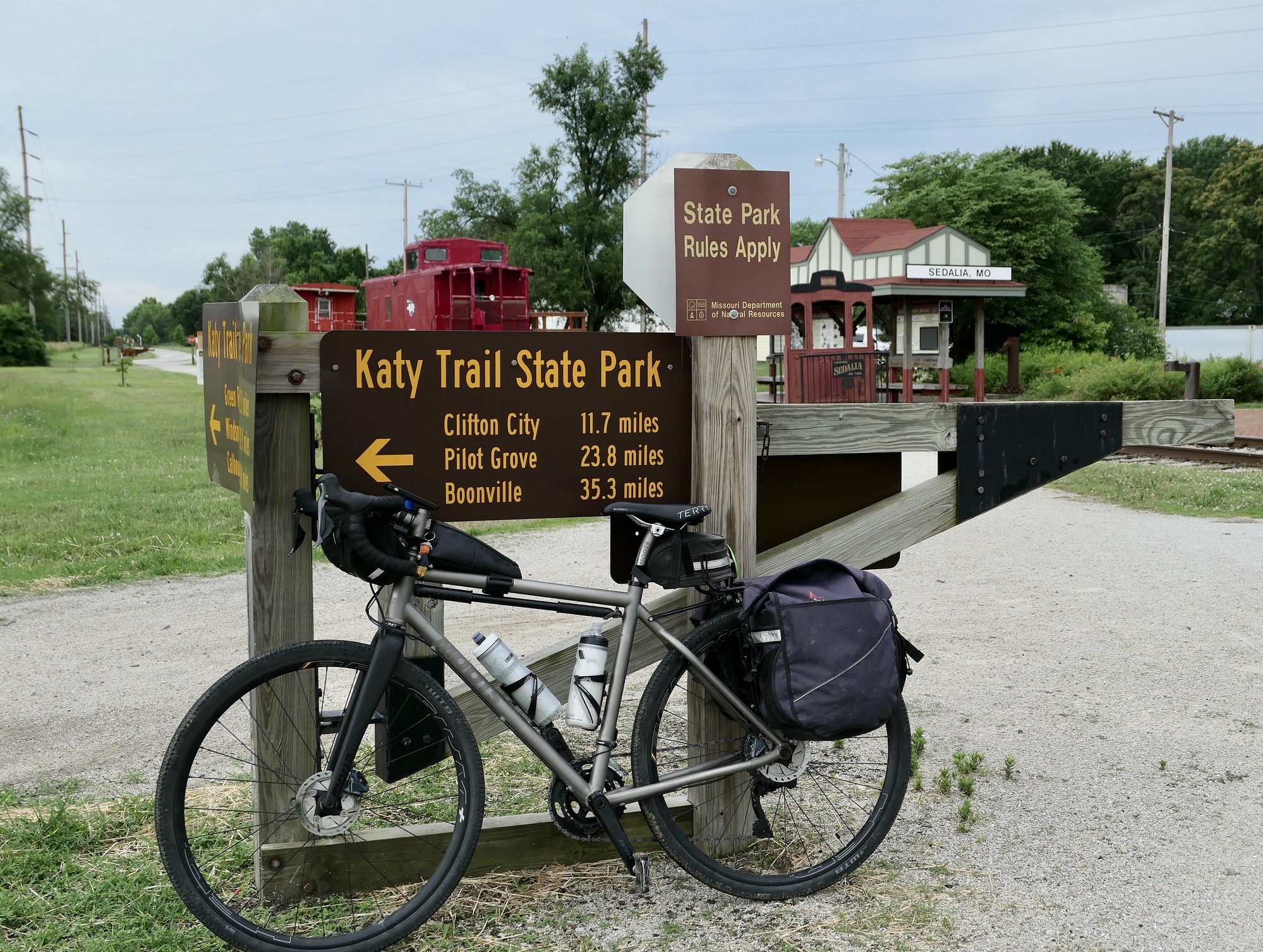
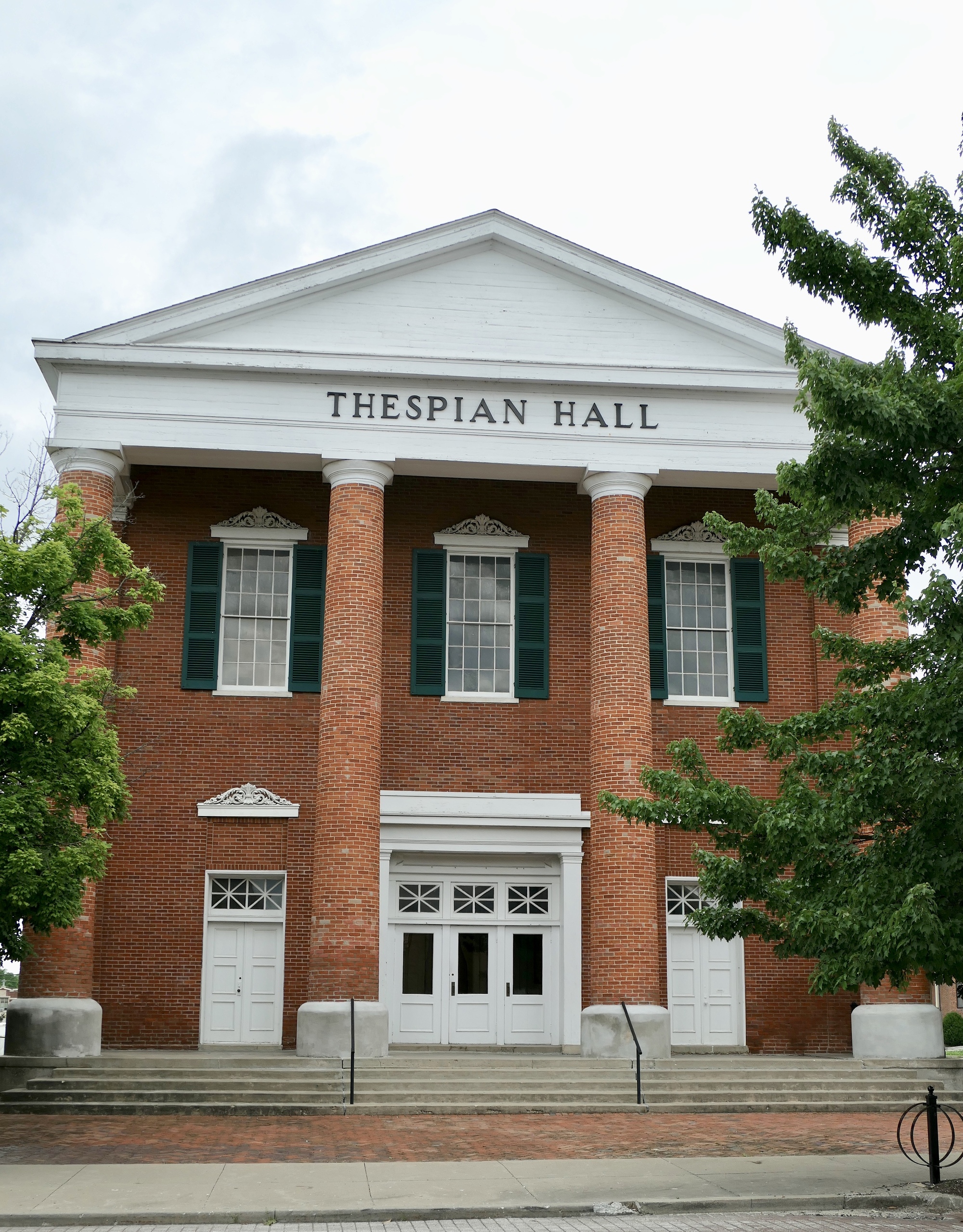
My first day on tour! Rain was forecast for this afternoon so I wanted to get an early start for Rocheport. Vivien George and Vincent were waiting in the lobby when I went downstairs, as was my breakfast sack of yogurt and a poptart – a Covid substitute for the breakfast buffet. I opted for a latte and a blueberry scone at the Ozark Coffee Company and Roastery – a great cup of joe! It was a little before nine when I arrived at the Katy Depot, the historic station along the Missouri-Kansas-Texas Railway (the MKT). It was there I met Ray, a cyclist traveling from Saint Louis who was in search of coffee. I directed him to Ozarks and got some info on trail conditions before we headed off in opposite directions.
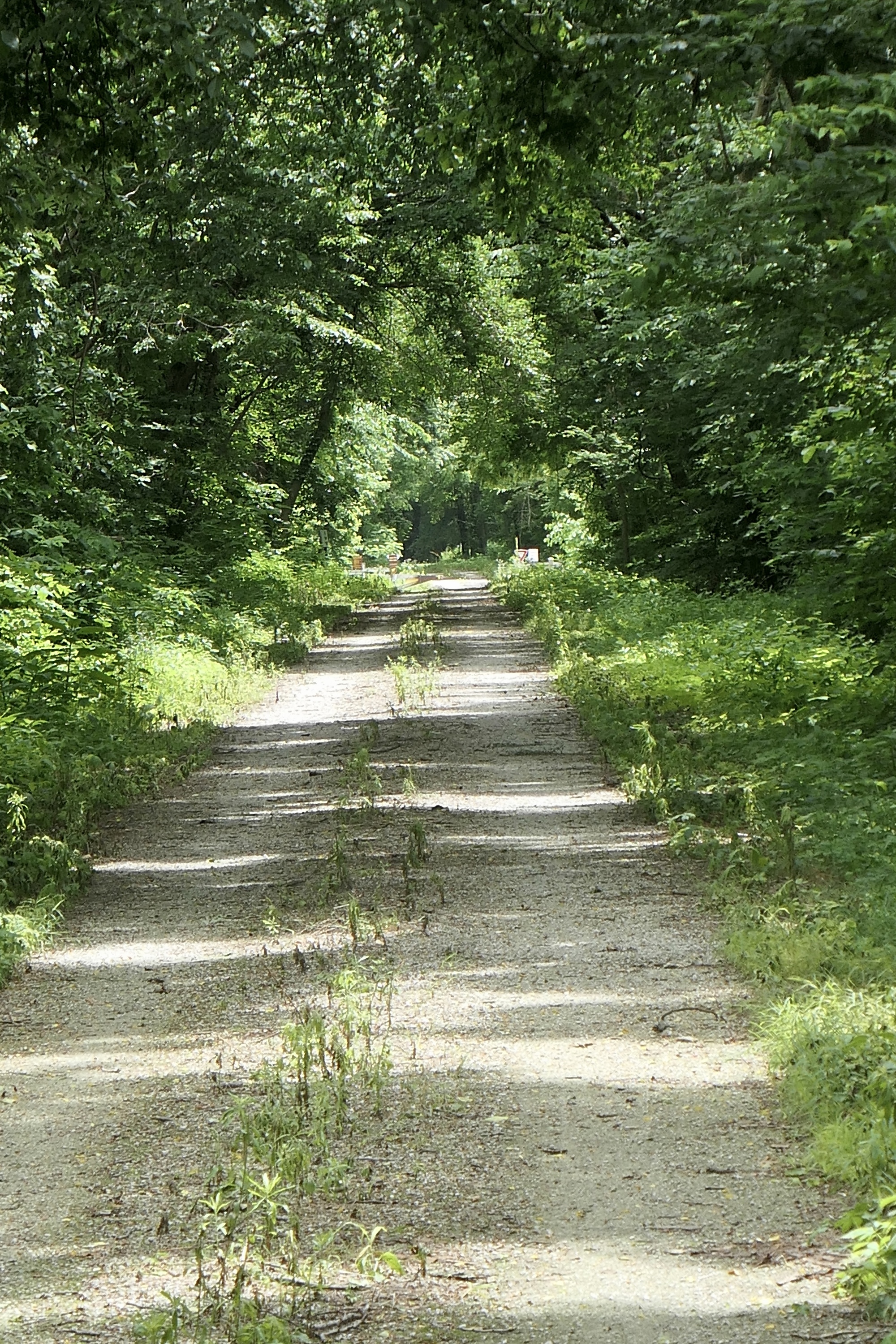
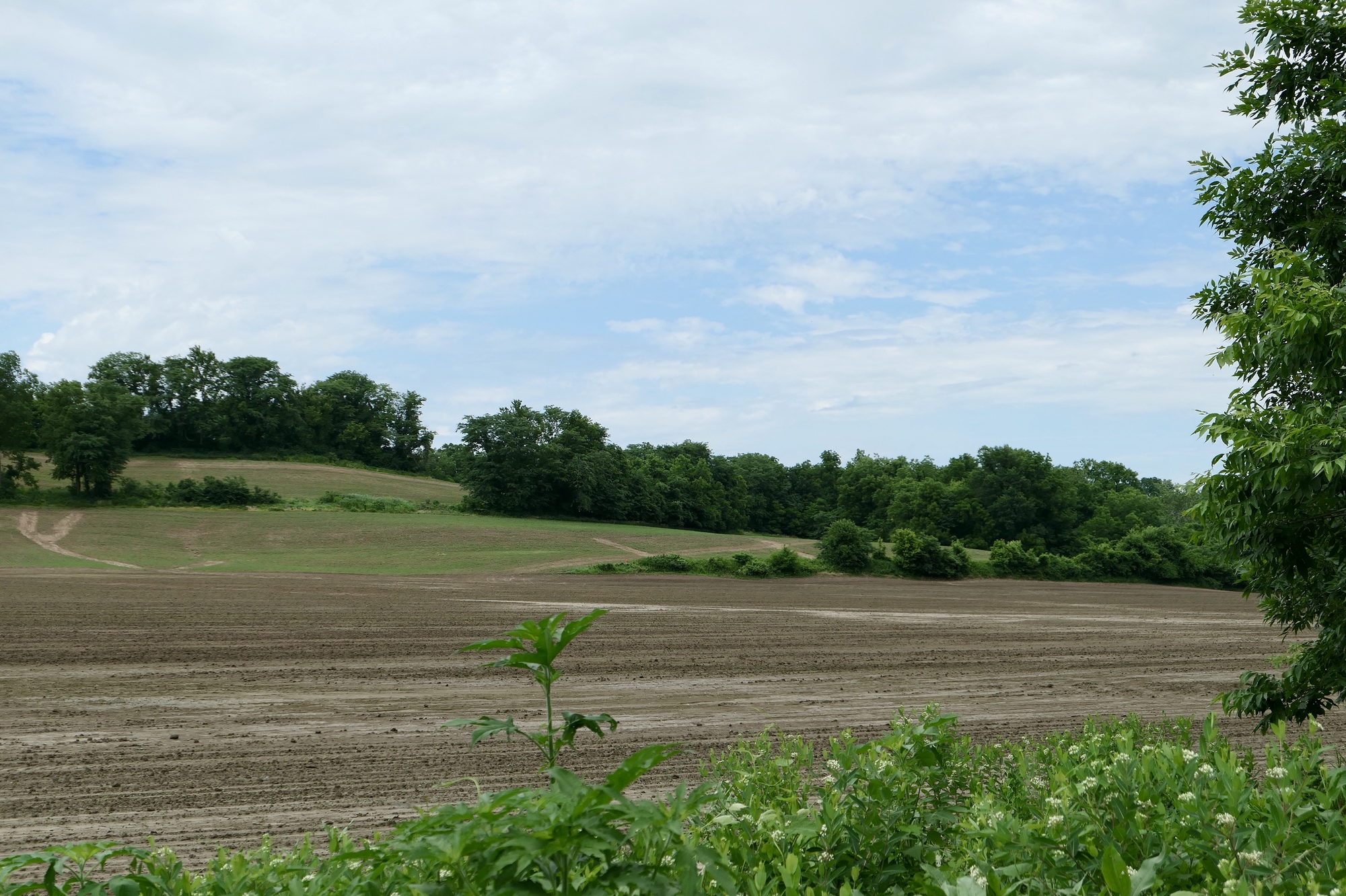
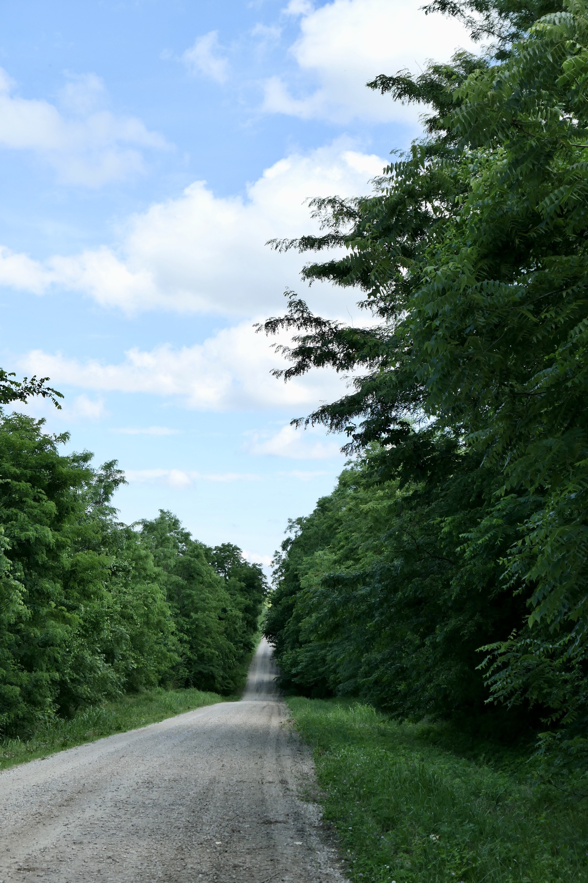
I knew that there was a trail detour in Sedalia, but didn’t really pay attention as I thought it was due to downtown construction. It took me a little zig-zagging on the outskirts of Sedalia, but I was soon on the right path – heading northeast on a wide crushed limestone roadway that traversed the Osage Plains.

| Heart | 3 | Comment | 0 | Link |

| Heart | 4 | Comment | 0 | Link |
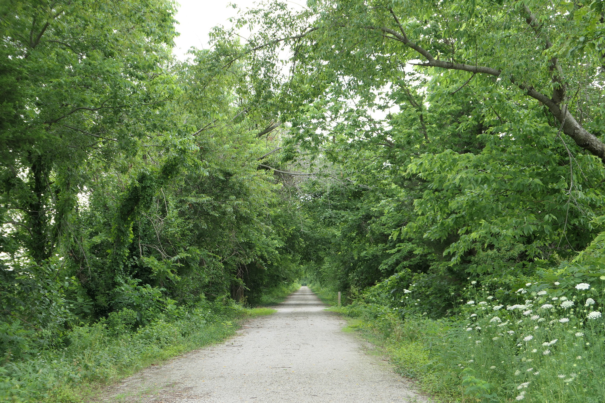
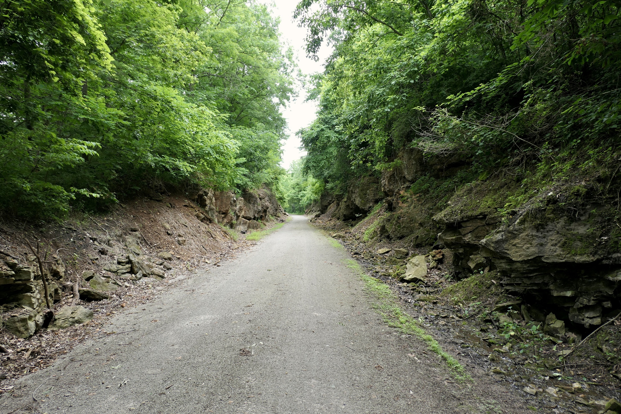
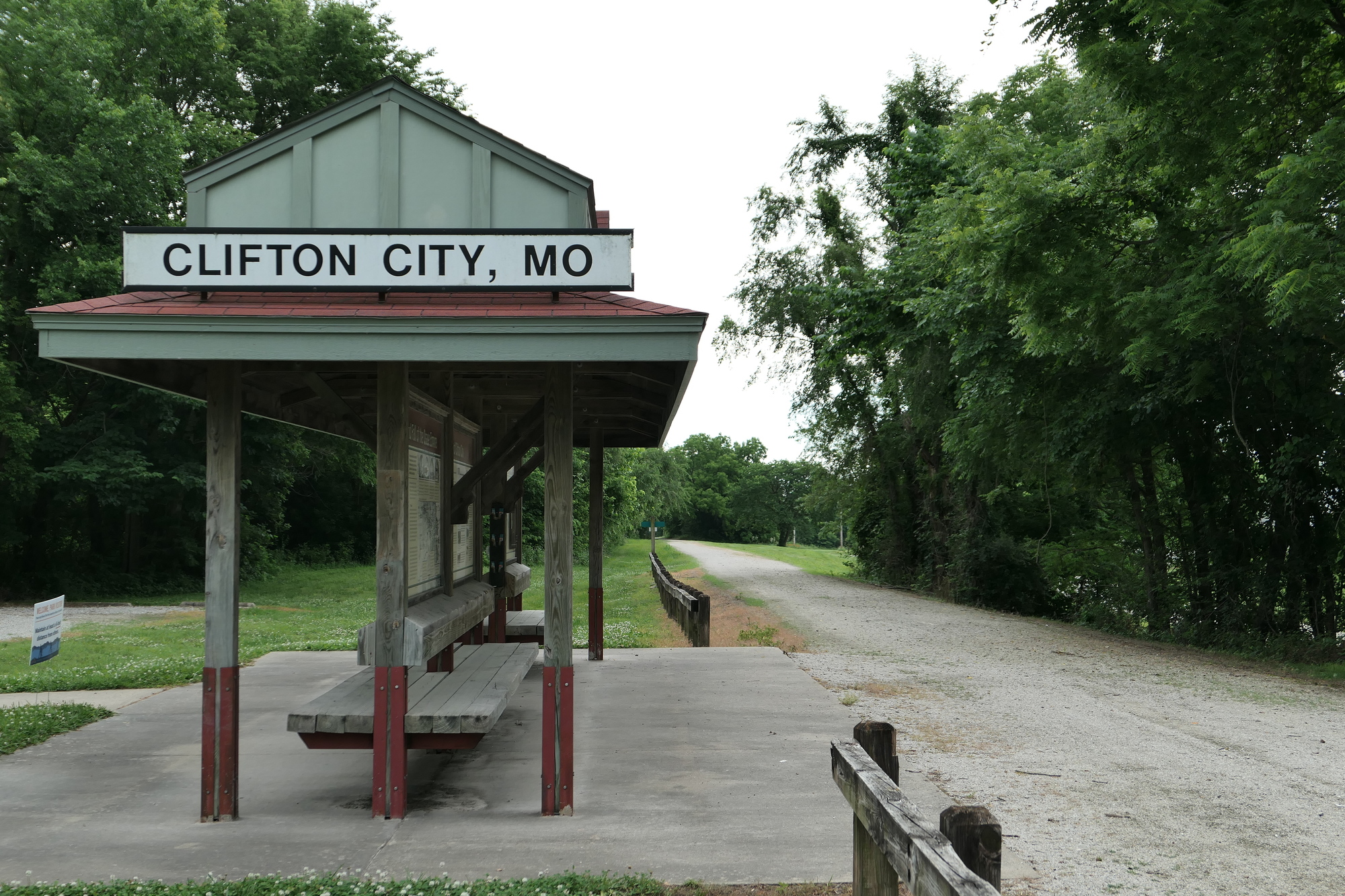
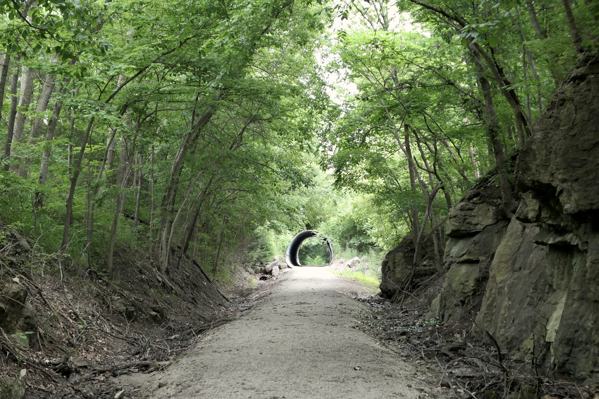
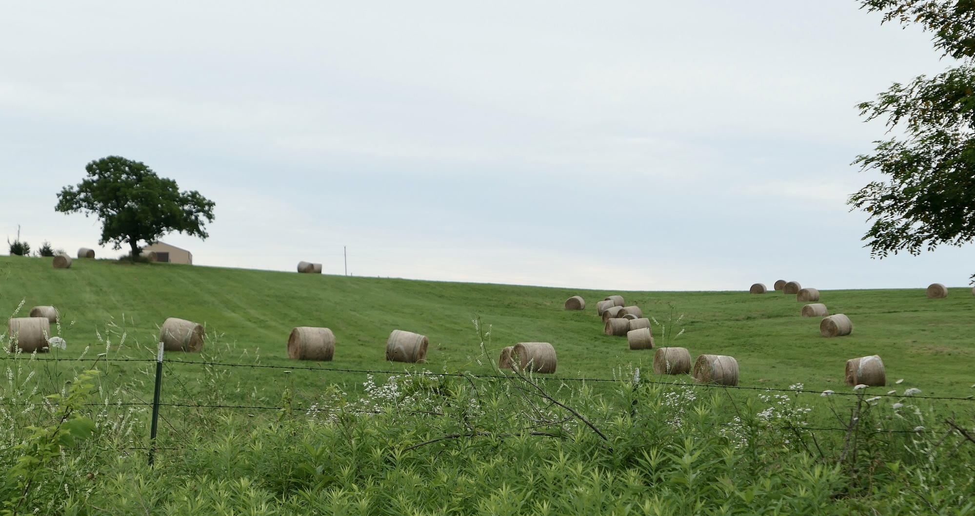
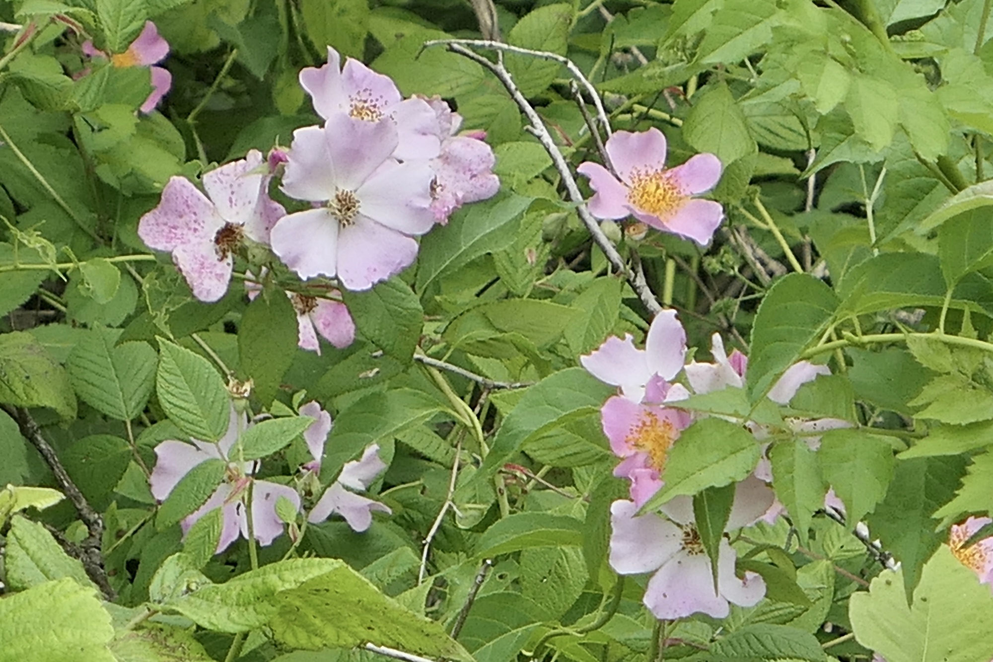
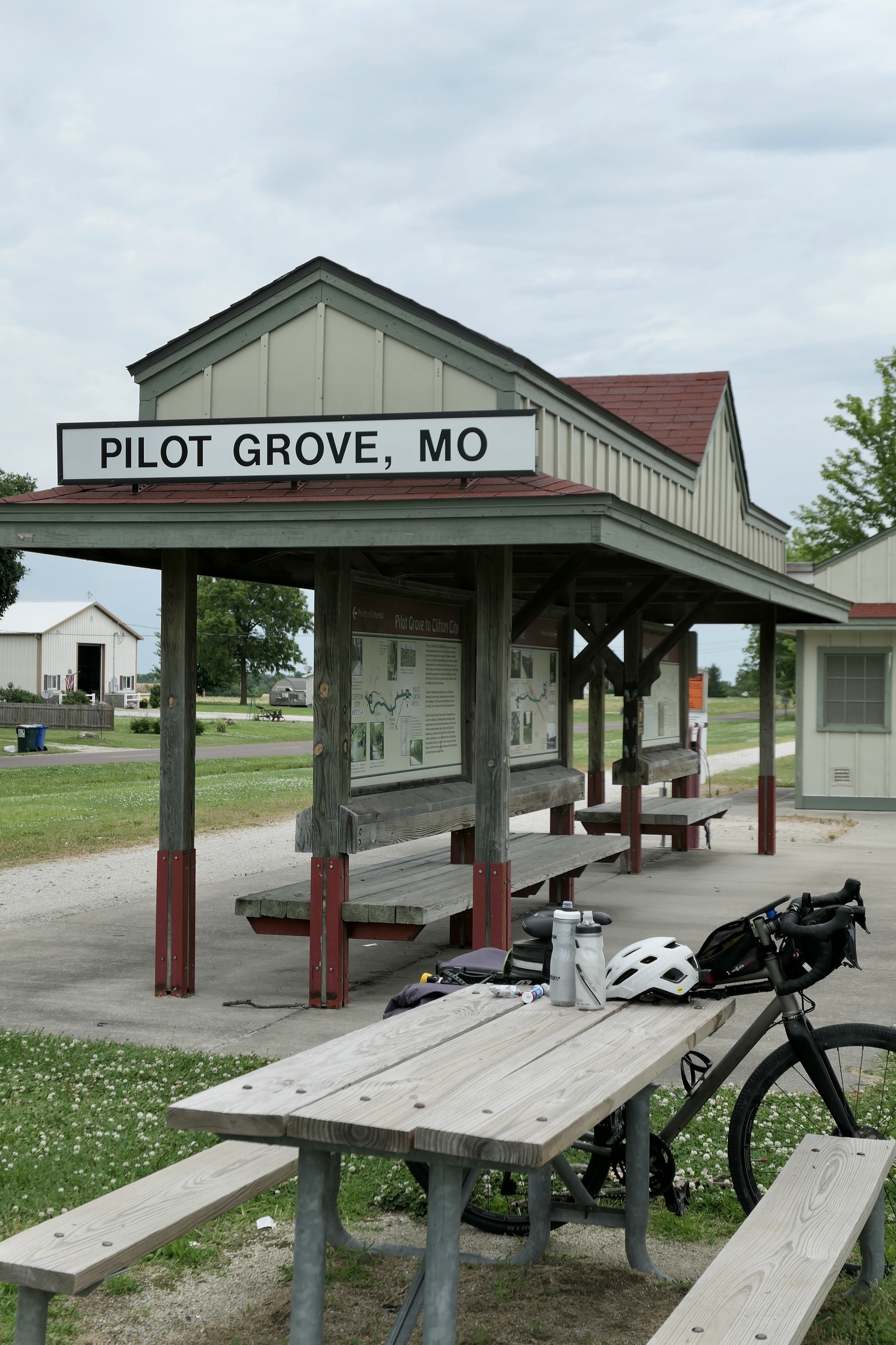
In addition to restrooms and water, the depots along the Katy Trail have abundant historical information on the area and its inhabitants as well as noting points of interest along the trail. I took advantage of everything during a brief stop in Clifton City. The next section of the trail transitioned from the Osage Plains to the Ozark Border, with a little rolling terrain. The woods became denser and thoughts of bears crept into the back of my mind. I shrugged it off (mostly) and kept a steady pace – across streams and rivers, through culverts and past the occasional field of newly mown hay. As I neared Pilot Grove, the trail opened up and wildflowers decorated the trailside.
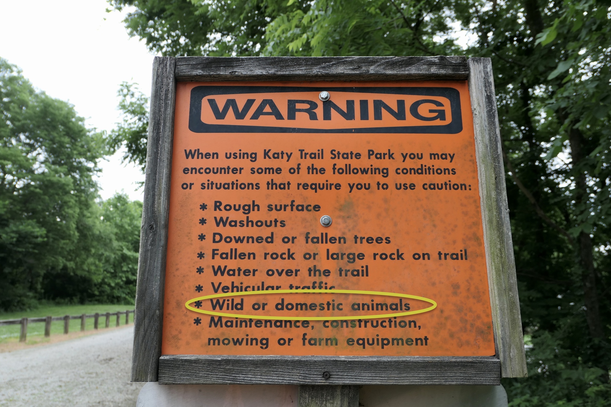
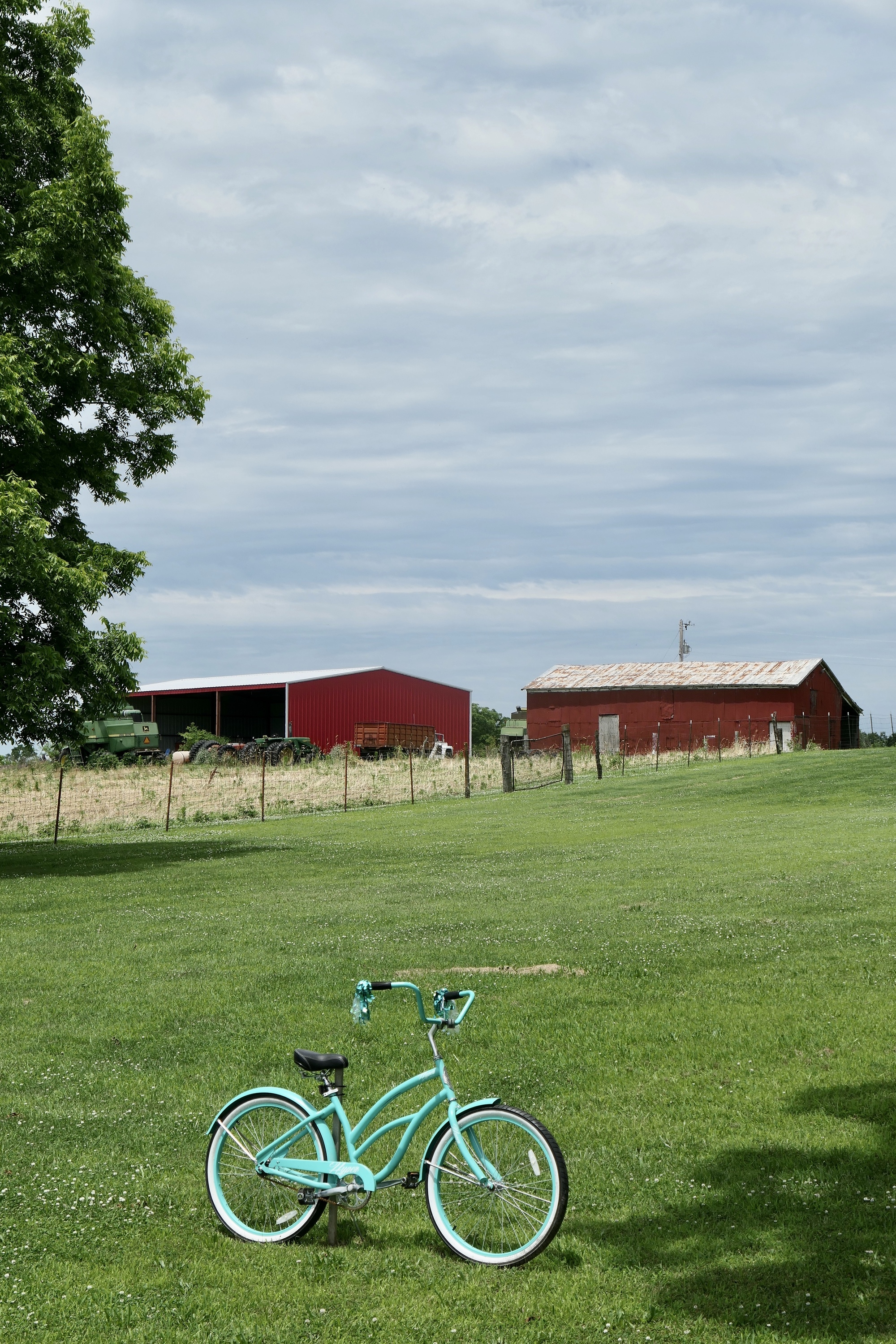
I was a bit surprised that I essentially had the trail to myself. There were a handful of walkers, with or without a leashed dog, but I passed only three riders all day - and none were touring cyclists. The manager of Hotel Bothwell had told me earlier how devastating Covid was to her business – in a normal year she would have up to 50 cyclists staying at the hotel on a Sunday night. I knew traffic would be slow, but I wasn’t expecting it to be non-existent.
| Heart | 3 | Comment | 0 | Link |
| Heart | 0 | Comment | 0 | Link |

| Heart | 6 | Comment | 0 | Link |

| Heart | 0 | Comment | 2 | Link |
3 years ago
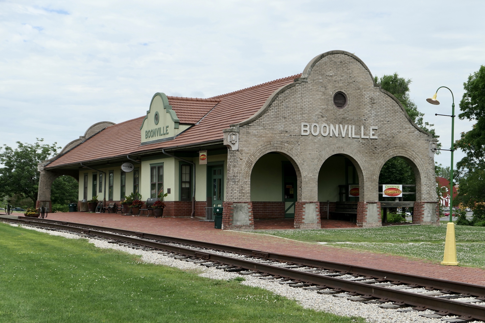
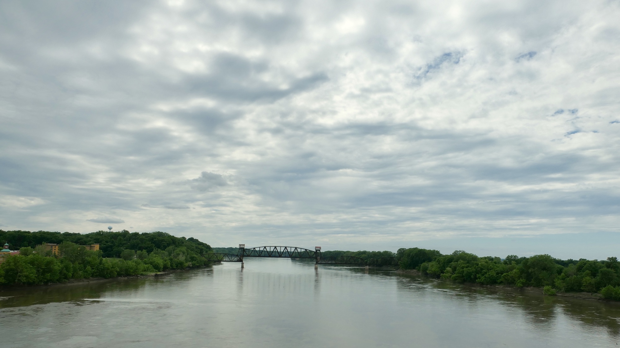
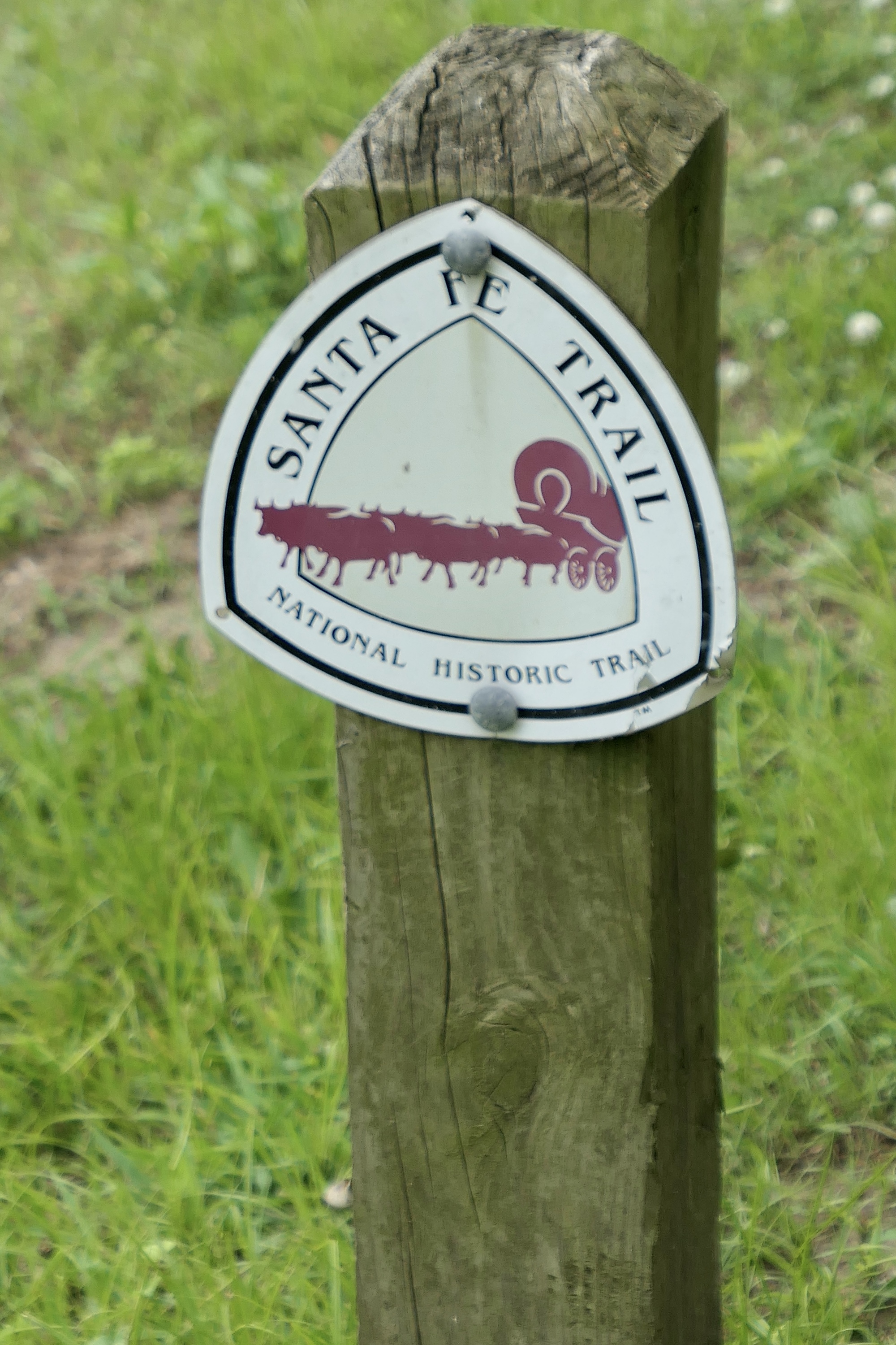
As the morning passed, I began to think that I might miss the rain. It had been a muggy morning, and I stopped in Pilot Grove for a quick snack and more water. By noon however, patches of blue sky started to appear and the trail was dappled in sunlight as it continued to gently roll its way down to Boonville and the Missouri River. I had a picnic lunch at the Boonville Trailhead and made a quick look-see ride through town before crossing the Missouri on a nice dedicated bike path. Several markers on the east bank of the river noted the beginning of the Santa Fe Trail and the Lewis and Clark Expedition.

| Heart | 2 | Comment | 0 | Link |

| Heart | 1 | Comment | 0 | Link |
| Heart | 0 | Comment | 0 | Link |

| Heart | 1 | Comment | 2 | Link |
3 years ago

| Heart | 1 | Comment | 0 | Link |
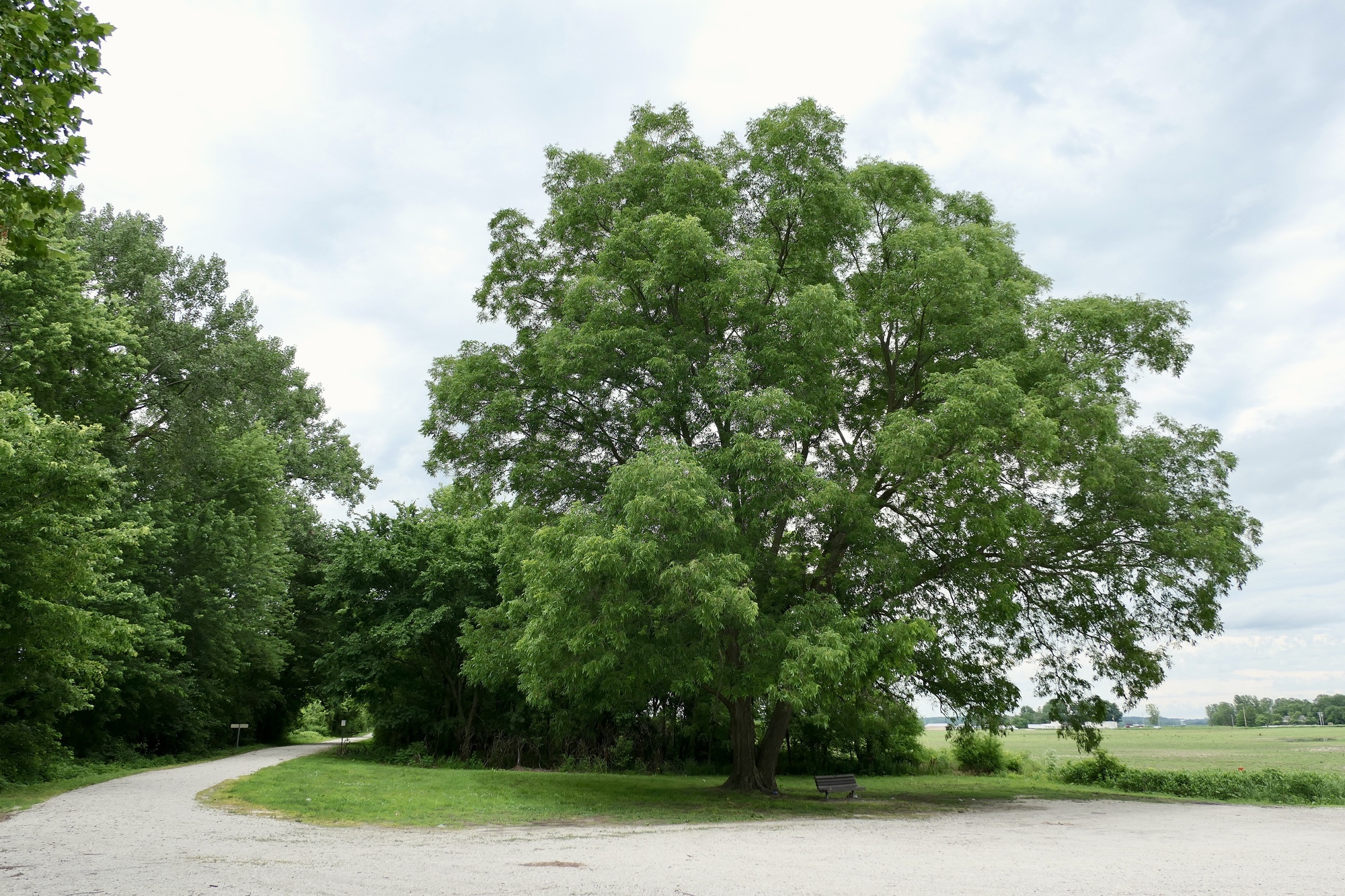
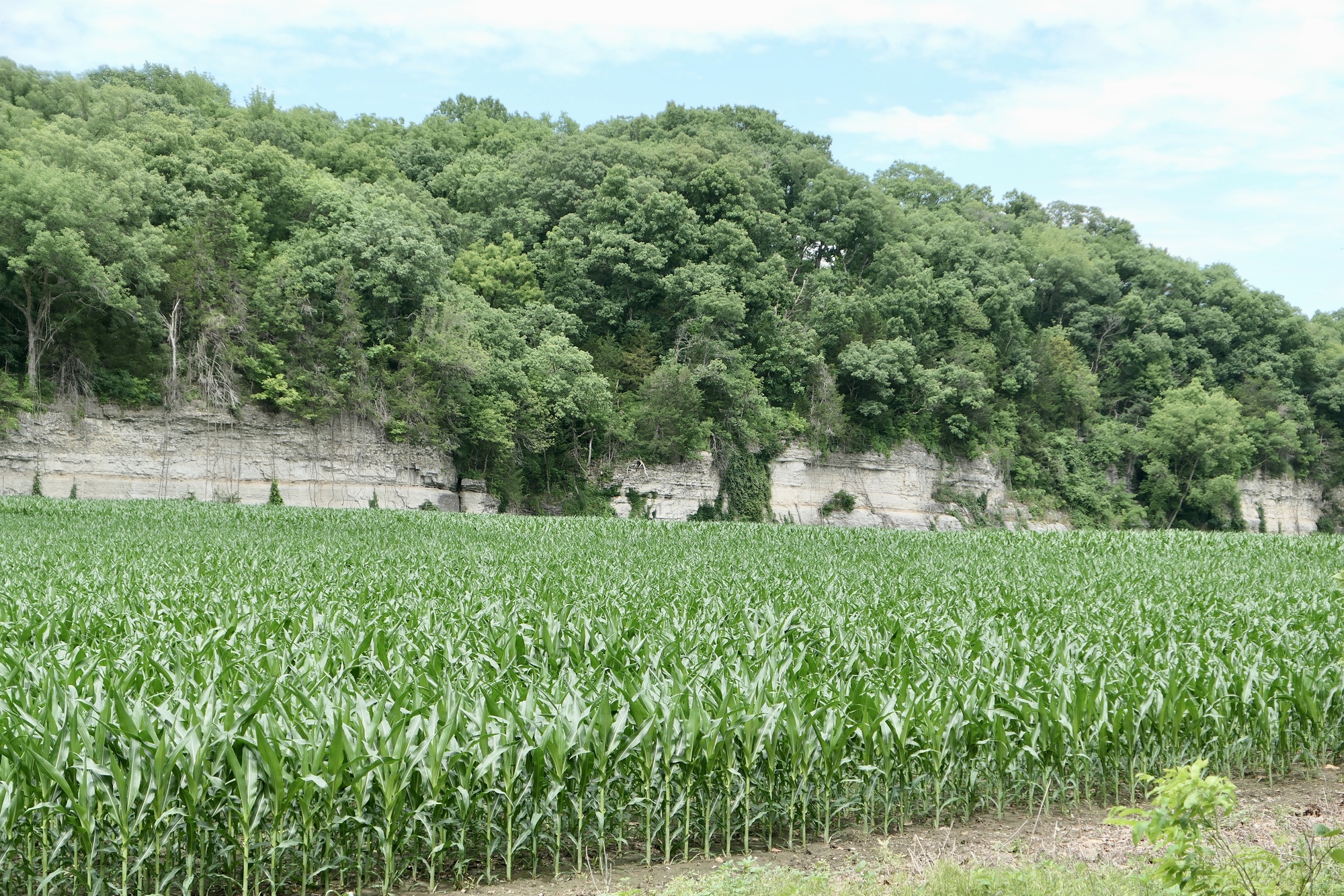
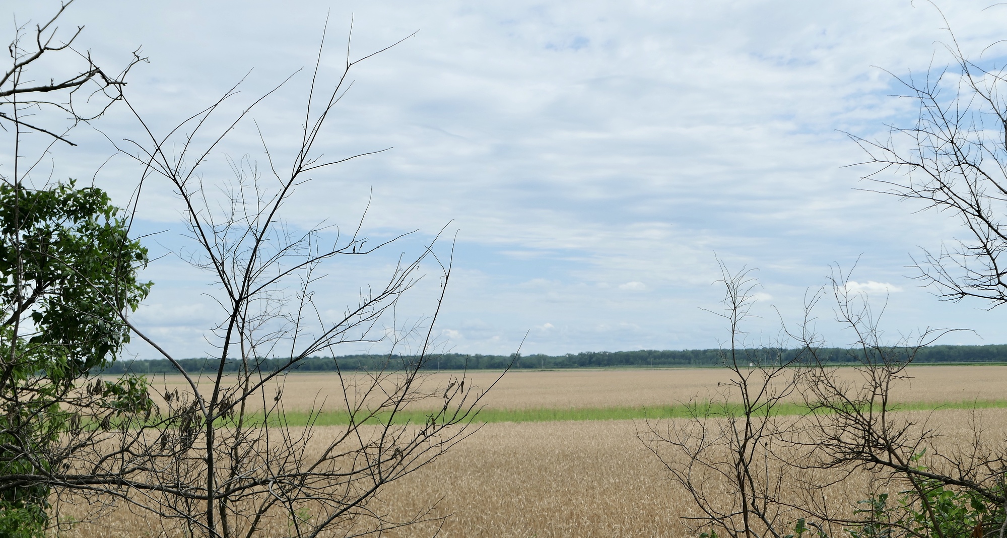
After crossing the river, I headed north and east through Missouri River bottomland. For the first few miles, standing water lingered in the adjacent fields and the trail surface was thick with a recent freshening of crushed limestone. The surface improved a bit after turning east at Franklin, and bottomland crops of corn and wheat appeared to be thriving.
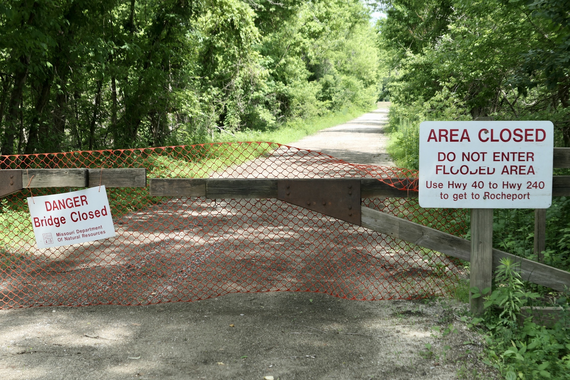
Heavy floods in 2019 knocked had out a bridge over Salt Creek, about four miles west of Rocheport. The Missouri Park Service detour followed US40 for several miles, which was described in the Katy Trail forum as a heavily trafficked, curvy road with a big hill. An alternate route was posted on the forum - it shortened the time on US40, but did not avoid the hill and required some gravel road riding. I opted for the alternate route. Neither the traffic nor the hill on US40 was too bad. Though there was no real shoulder, the cars gave wide berth and I debated whether to continue on the paved “official” detour. However, I turned off onto the alternate, gravel road. It was a bit chunky and hilly, with a steep, somewhat scary final descent into the outskirts of Rocheport. Not recommended for gravel newbies!
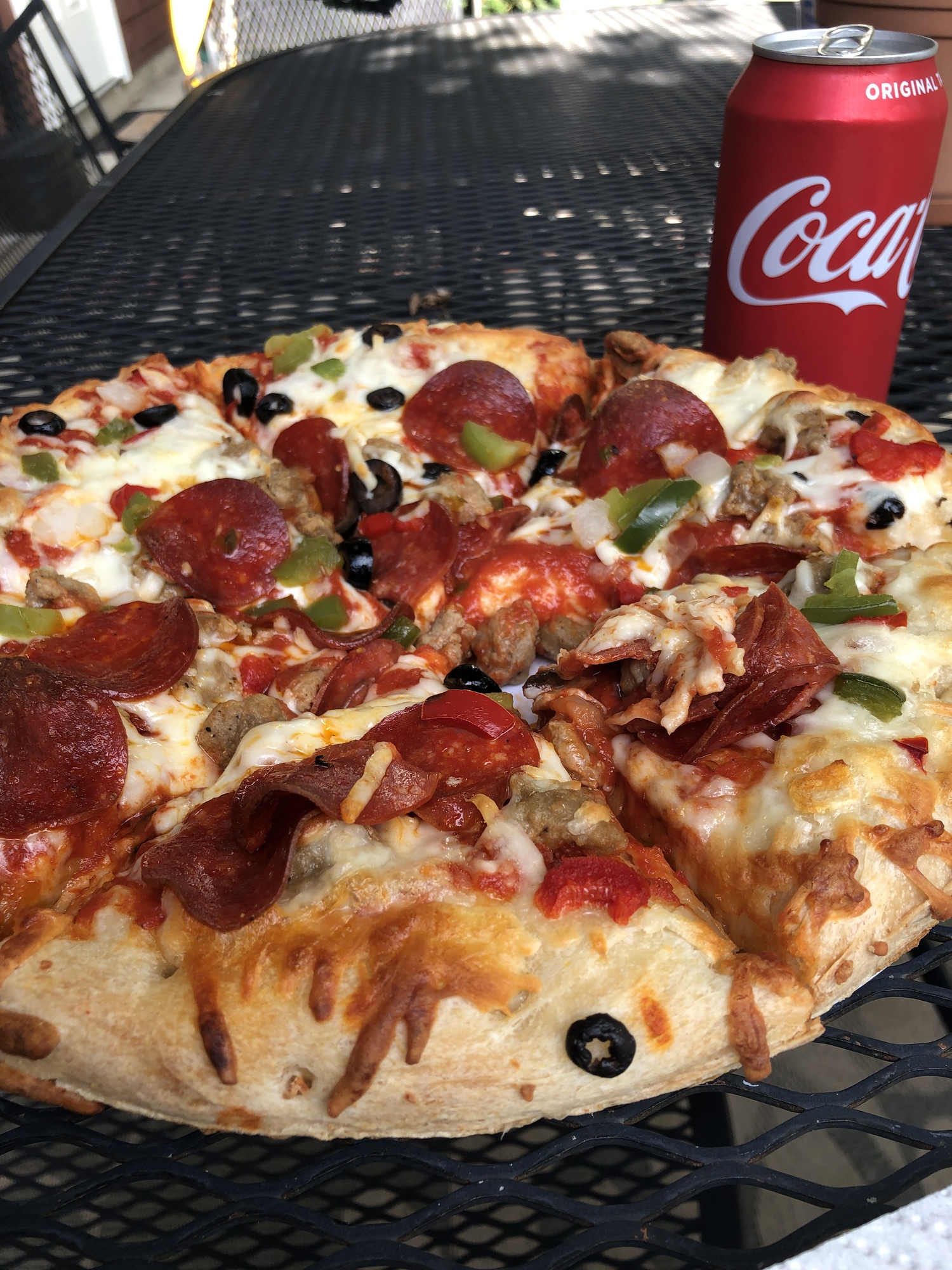
My home in Rocheport is a small, dormitory-style room designed for Katy Trail cyclists – there is a bike storage shed and the room has a small fridge with juice, yogurt and breakfast breads. However, there are no restaurants open on Monday nights in this small town of 239 residents. In planning the trip, I found out that the proprietors will provide a hot pizza if you order in advance. I ordered a supreme pizza and a coke - something I never eat at home. The pizza was huge, and the coke was so refreshing I had two! It’s so great to be back on the road.
Today's ride: 53 miles (85 km)
Total: 774 miles (1,246 km)
| Rate this entry's writing | Heart | 8 |
| Comment on this entry | Comment | 0 |