May 2, 2025
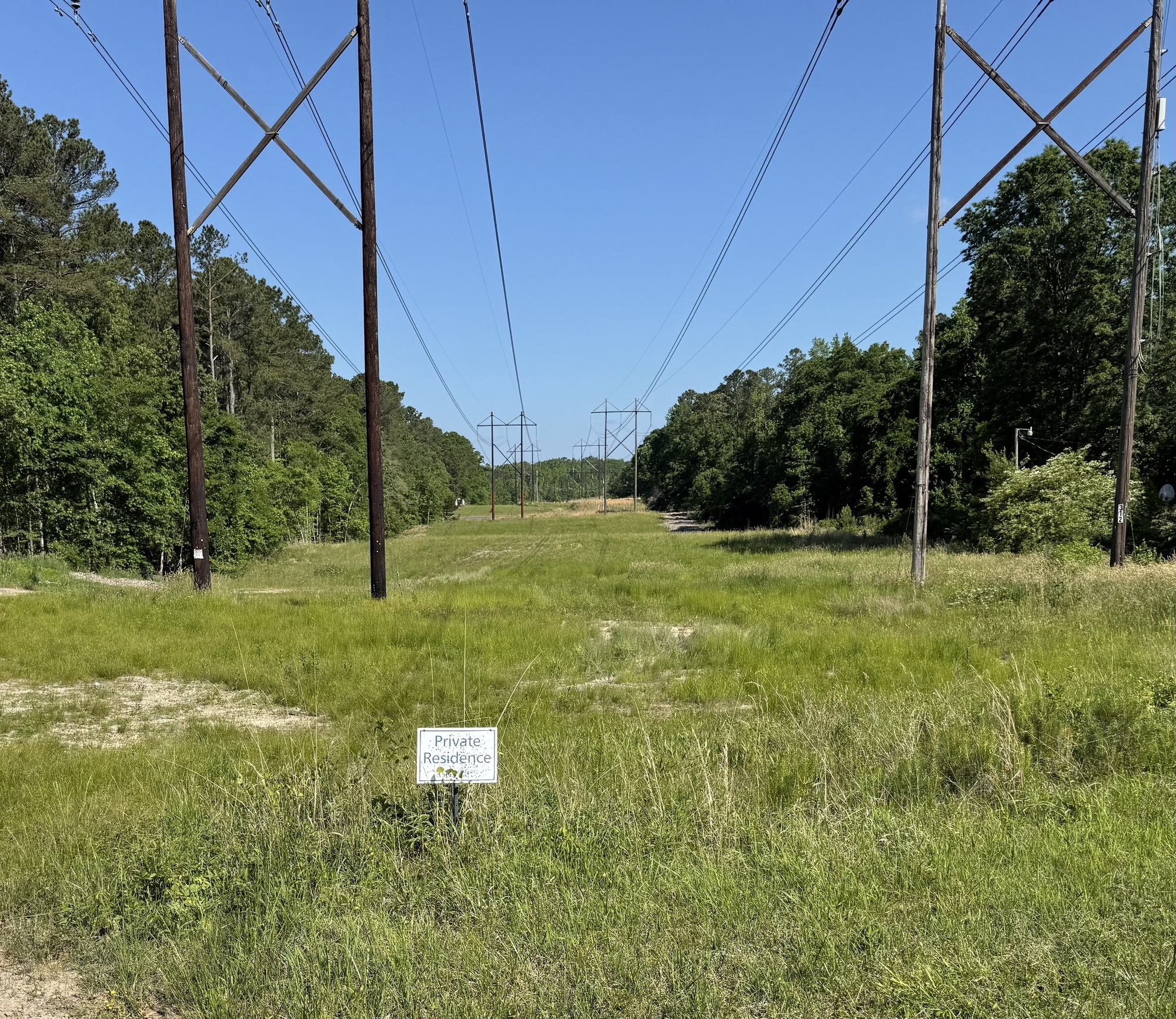
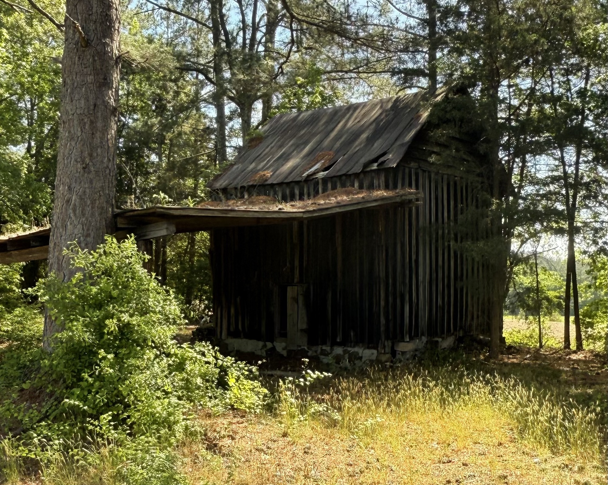
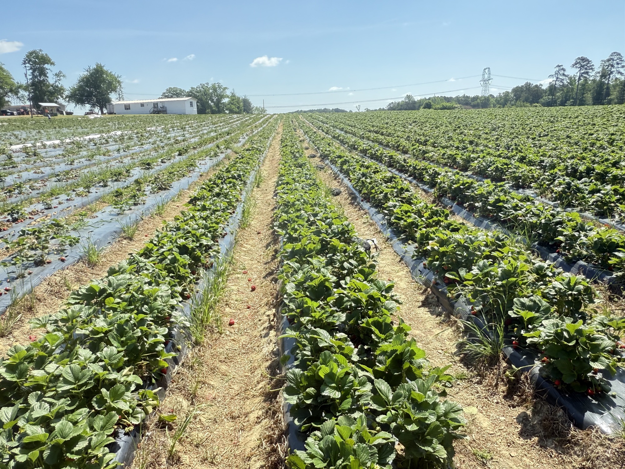
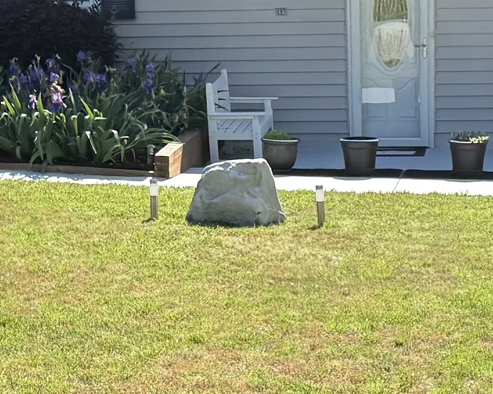
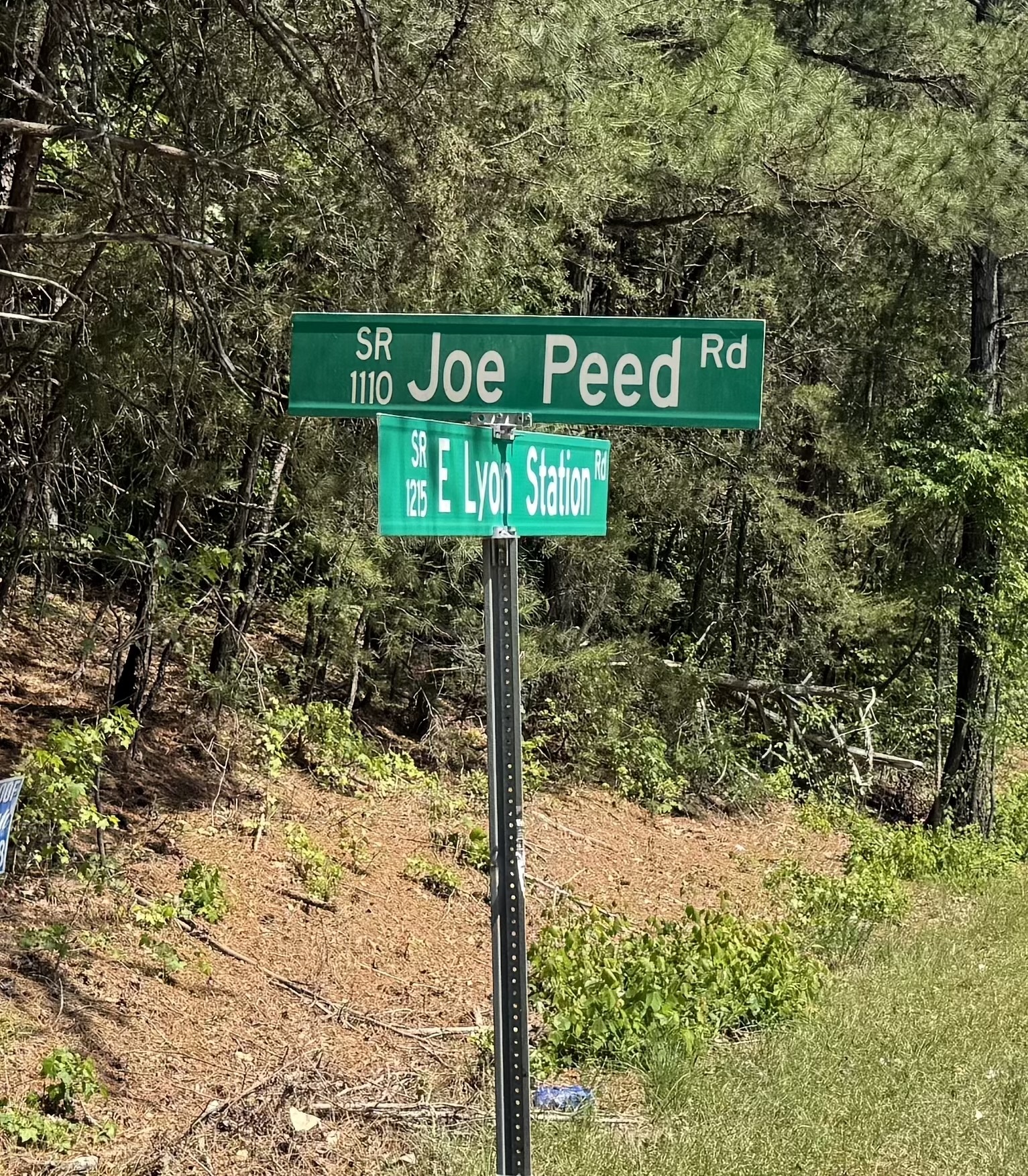
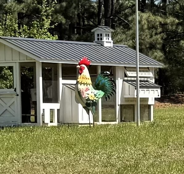
46: turtle, suburbia, designated bike path, platform 9-3/4, tree protection area, private residence, they're a wake at the moment, strawberries, rocks, peed indeed, garmin glitch
Apex to Creedmoor
Wanting to get an early start, I set my alarm for 7:00, then woke up at 6:15. Blehh.
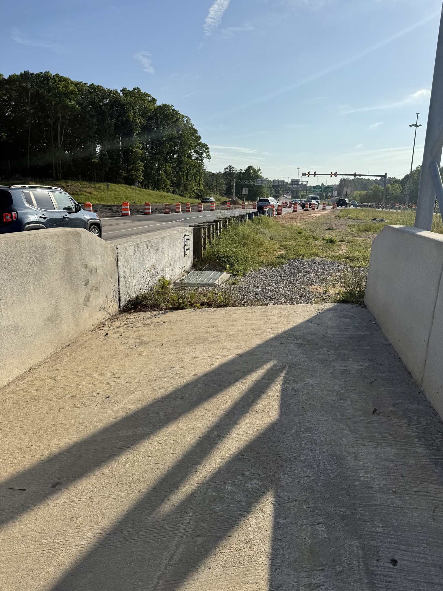
The first half of today's ride was just a matter of winding my way through Raleigh suburbia with nothing much of interest to photograph. I found myself passing through tony subdivisions that had bright green topiary bushes in the shapes of mushrooms, then neighborhoods in which the only green was the weeds clawing through cracks in the road and sidewalks.
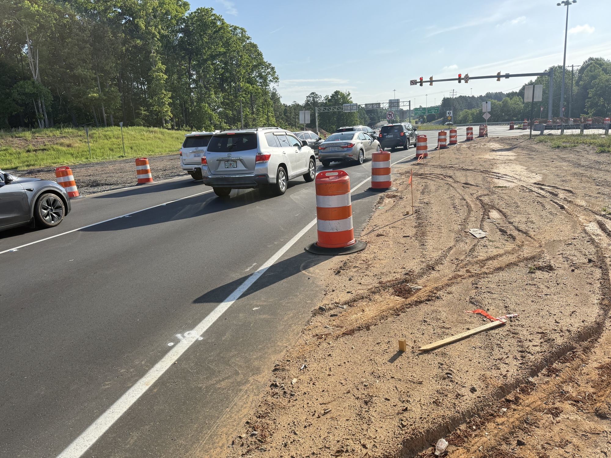
Traffic was variable, ranging from an occasional BMW gliding past in an affluent neighborhood, to a moderate amount of traffic on larger thoroughfares as people made their way to school and work, to an incident in which I consider as the epitome of North Carolina drivers....
On a two-lane road there was a van behind me and an oncoming car when, out of nowhere, the guy behind the van decided to pass both of us. He missed the oncoming car by just a few feet and missed me by the same amount. Of course, no one honked... just another Friday morning.
I promise I'll quit complaining about the terrible North Carolina drivers... probably about the time I cross the state border.

| Heart | 6 | Comment | 0 | Link |

| Heart | 3 | Comment | 0 | Link |

| Heart | 6 | Comment | 0 | Link |

| Heart | 3 | Comment | 1 | Link |
2 months ago

| Heart | 11 | Comment | 1 | Link |

| Heart | 5 | Comment | 0 | Link |

| Heart | 3 | Comment | 0 | Link |

| Heart | 4 | Comment | 0 | Link |
| Heart | 7 | Comment | 4 | Link |
2 months ago
| Heart | 5 | Comment | 2 | Link |
2 months ago
2 months ago
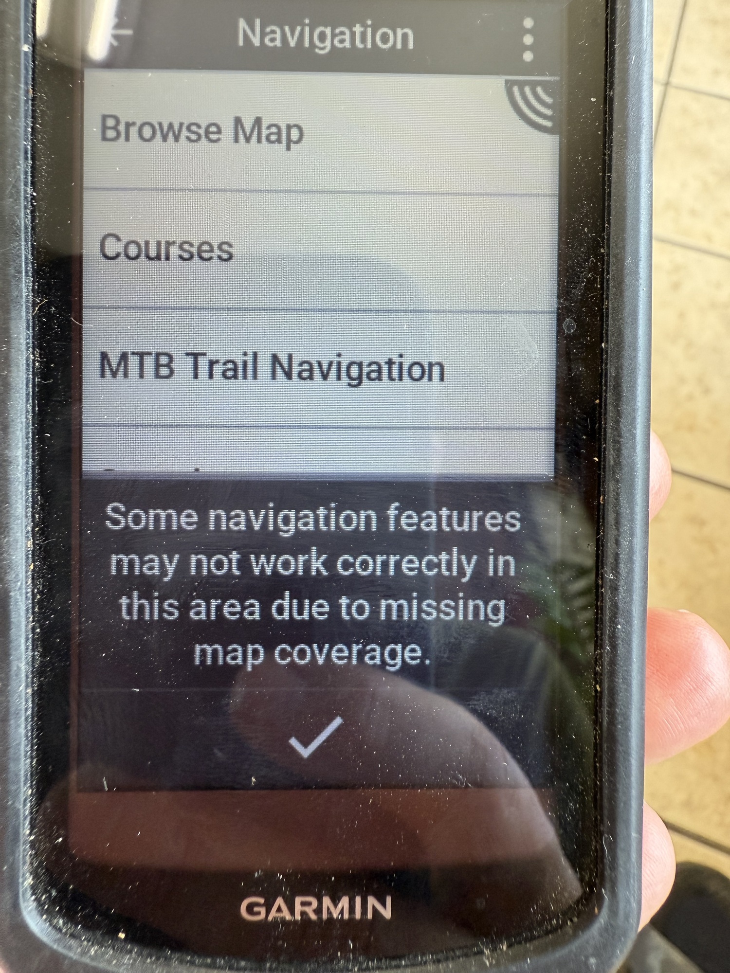
By the I checked into my motel in Creedmoor I was so fed up with my Garmin that I decided it was time to call Customer Support. Something happened a week or so ago and now it no longer shows what road I'm on, nor if there are any other roads nearby. Even if I come to an intersection, it doesn't appear on my map. If I veer off course, I receive no warning, and I still hear the same instructions: "in 200 feet continue north, in 200 feet continue north, in 400 feet turn east, in 200 feet turn east, turn east."
I spent about half an hour on the phone with a woman who kept asking me if I had the Map Manager on my Garmin Express, and she couldn't figure out why I didn't. After she did some of her technical wizardry, it finally appeared.
At that point she asked me to tell her which maps I have loaded. The answer was "three climb pro maps," at which point she became really confused.
"I... don't und.... ... ... How are you even navigating with no base map?" asked the person with an intimate knowledge of the Garmin I'm using.
Clearly, not well.
Thinking back to the day I got pulled over by the police, I believe what happened is that I had been routed on Business 1 and not Highway 1, but when I got on Highway 1 instead of the correct road I wasn't alerted, and thought I was on the right route. My Garmin gave me no indication, even looking at the map, that I was on the wrong road because the road wasn't labeled.
After some stops and starts, we got it loaded again. It was previously on there, then just disappeared, and it makes me wonder if I just got a lemon because weird things keep happening. I asked if she thought this would fix the issue in which I stop getting verbal directions and she said "Hopefully."
To Be Determined.
| Heart | 2 | Comment | 3 | Link |
Brings back a lot of memories, but no e-navigation then, just scraps of maps taped together. I figure there was about a 10% increase in miles over what I figured with all the missed turns.
2 months ago
2 months ago
Funny thing, the first day was great weather, second was 7 1/2 hours of downpour. Then it got hotter as the days passed. I averaged about 85 miles per day, even though I had only planned on 50. Oh, to be 64 years old again! (79 now and knees won't let me do more than about 20 miles unloaded flat miles) But, yes, lots of good memories. Still keep in touch with some folks I met.
2 months ago
Today's ride: 40 miles (64 km)
Total: 1,235 miles (1,988 km)
| Rate this entry's writing | Heart | 12 |
| Comment on this entry | Comment | 10 |
2 months ago
My process is this: Create a route for the day with RideWithGps. I do it on my laptop, since the route planner is easiest to use on it. Then I click on the "send to device" button, which sends the route to my phone, which downloads the entire thing.
Then when I start riding in the morning I turn on the RideWithGps app and tell it to navigate. I keep the phone in my handlebar bag the rest of the day, listening to the navigation audio cues.
That's worked well for me on my last several tours.
2 months ago
2 months ago
Whoa. i feel relieved now.
2 months ago
2 months ago
2 months ago
I downloaded PocketEarth, and will check it out after the trip. It seems like a good idea to wait until *after* the trip because when you say "The only potential flaw is yourself" then, clearly, it's going to be full of flaws...
2 months ago