May 4, 2020
The Viola-Palouse Loop
A new doctor
Today is a perfect cycling day, but we can’t get started right away. I have a date with my new wound nurse, over in Moscow at the Griftman Wound Healing Center. It seems odd to drive over to Moscow, but I couldn’t find any place suitable in Pullman that could get me in on short notice.
I have a fairly lengthy first visit since I’m new to the doctor, but the outcome is all positive. She thinks the wound looks like it’s healing excellently, though she won’t give a prognosis on time to heal without tracking me herself first. The wound looks visibly better to me than the last time I saw it four days ago. The open area is steadily shrinking, and the ring of new tissue around it steadily expanding. Bodies are so amazing.
She says I seem in excellent health in general, and asks if I have any health issues. I mention my sporadic SVT episodes, and she pulls out a stethoscope. After she stops listening, she informs me that I apparently picked up the heart of a much younger man somewhere along the way. So that comforting to hear.
I’m scheduled for weekly visits each Monday for the rest of the month, and with luck I’ll be pretty much healed by the time we leave the Palouse.
Today’s ride
Today’s loop takes us across the Idaho border and then back to the town of Palouse. I could have called today’s ride the Palouse Loop; but these are all Palouse loops and that would be confusing. I could call it the Palouse Town Loop, but I imagine we’ll have multiple versions a loop through the town of Palouse. So I’ll name it after Viola, a minuscule Idaho community we’ll pass by on the way. Voila: Viola!
The ride starts from home and leaves Pullman on Airport Road. After about a mile or two we cross through the suburbs of Palouse Ridge and drop into the open. We’re only about a mile north Route 270, the road to Moscow that the Bill Chipman Trail follows, but it feels much more open and remote here.


| Heart | 5 | Comment | 0 | Link |
A bit past the airport we come to the junction with O Donnell Road, which I had mapped us to follow for another five miles east into Idaho to US 95. It’s a gravel road though, and neither of us relishes an avoidable five miles of gravel so we decide to remain on Airport Road as it bends south and connects with Route 270.
This will be one of the themes to our stay in Pullman, it appears: a trial and error discovery of which roads are paved. If the road isn’t painted with a yellow stripe, you can’t tell with certainty from the satellite view which roads are paved and which aren’t. We asked about this at the bike store Saturday but were told that there aren’t any reliable maps with that information. You just have to know. By the time we leave the region we should be able to put together a pretty decent paved road map.
Anyway. Back on 270, we quickly exit onto the Bill Chipman Trail, follow it across the border, and then take a chance on Farm Road, another small road the goes north and eventually intersects with US 95. Our goal is to minimize how much time we have to spend on US 95 itself, which of course will carry substantial traffic - it’s the main north-south corridor through the Idaho panhandle.
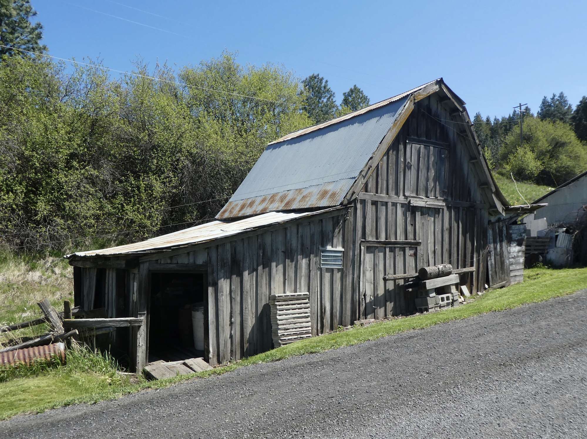
Farm Road is a winner - a delightful minor road that passes through an experimental farm associated with the university. There’s a sign by the entrance to the farm saying access is prohibited for now, but a couple sitting nearby tell us it’s fine and the road just continues on the other side so we take a chance. If we’re stopped, we’ll apologize and say we were misinformed. It’s fine though - a car passes and we pass a pedestrian, but no one stops or questions us. A quarter mile later we’re out the other side, enjoying a delightfully quiet ride through the loess hills.

| Heart | 3 | Comment | 0 | Link |

| Heart | 4 | Comment | 0 | Link |


| Heart | 5 | Comment | 2 | Link |
5 years ago

US 95 is what it is. There’s sparse but steady traffic, and a decent shoulder that would be even more useful if it didn’t have a rumble strip carved through the middle of it. We patiently ride north for a couple of miles until we come to a minor side road. It’s paved and looks like it roughly parallels the highway for about five miles before reconnecting further north, so we take a chance on it.
Saddle Ridge Road is great. Paved, very quiet, we enjoy the best two miles of the day as we gradually climb, passing a few small farms along the way. We’re just thinking about lunch when Rachael rounds a bend and comes to a large, smooth fallen log beside the road. Perfect.

| Heart | 3 | Comment | 0 | Link |

| Heart | 2 | Comment | 0 | Link |

Unfortunately, Saddle Ridge Road is four miles long. The first two miles were the best of the day, and the next two the worst. Almost immediately after starting up again, the pavement ends. It’s not too bad though, so I encourage us to continue forward - it looks like it’s only two miles. How bad can it be?
Bad enough. The gravel road quickly steepens, and turns into a 12-15% spike. We bike when we can and push when we must, but it’s a slow, frustrating next two miles as we work our way up one side and down the other. It’s quite beautiful though. If you like gravel and have the right bikes, we can recommend it. We don’t though, and don’t, and likely won’t be repeating it.

| Heart | 3 | Comment | 1 | Link |
5 years ago
| Heart | 4 | Comment | 4 | Link |
5 years ago

| Heart | 4 | Comment | 2 | Link |
5 years ago
5 years ago

Fortunately, two miles later Saddle Ridge Road ends at Four Mile Road, which is paved! I’ve been holding my breath on this. I’ve already been feeling guilty for talking Rachael into this fun little excursion, and have been fearing that we’d find still more gravel ahead. Four Mile Road is another beaut though, and we enjoy a lovely ride back to US 95, joining it just north of nowhere town Viola.

| Heart | 5 | Comment | 0 | Link |


| Heart | 3 | Comment | 4 | Link |
5 years ago
We’re barely on US 95 at all this time. Less than a mile later we turn left on Palouse Cove Road and enjoy a wonderful few miles riding to the town of Palouse.
I want to come back to Palouse sometime for a real look, but for now we just skirt it and continue south back to Pullman on Route 27. Paved the whole way with a reasonable shoulder and light traffic, it’s a great ride. We’ve still got four weeks here, so I’m sure we’ll see this road again.
So, by and large a really great route, and paved for 40 out of 42 miles. User discretion is advised on those last two however.

| Heart | 5 | Comment | 0 | Link |


| Heart | 2 | Comment | 3 | Link |
5 years ago
5 years ago
5 years ago

| Heart | 3 | Comment | 0 | Link |


Video soundtrack: Follow, by Brandi Carlile
Ride stats today: 42 miles, 2,500’
| Rate this entry's writing | Heart | 10 |
| Comment on this entry | Comment | 0 |
5 years ago
5 years ago