July 4, 2022
To Boston
After coffee and pastries at Caffe Nero (a nice chain, from my sampling so far - better coffee and a better selection of breakfast treats than Starbucks) I turned the corner and visited Peterborough cathedral, keeping my promise myself to see its famous painted wooden ceiling before leaving town.
The current church was constructed in the 12th century, replacing the predecessor that was damaged by the Norman invasion and then destroyed by fire in 1116. Before that the original church on the site, founded in 655 as one of the earliest centers of Christianity in England, was destroyed by the Vikings.
The enormous three arched western facade greets you when you enter the walled grounds through the Norman gate. It’s the wrong time to view it this morning though, in the shadows and backlit by the sun this morning. I’m annoyed with myself for not thinking of this yesterday and making time for it on the way to dinner last night.
In fact, I’m annoyed at myself as well for not taking the time to read up on this remarkable site before visiting it, but then I wasn’t even aware of it’s existence before arriving here. We never planned to come to Peterborough so I hadn’t done any research on it before we picked it for a stay on short notice. If I had read ahead I might have noted more of its exceptional features and looked around for Katherine of Aragon’s burial site; but my attention was focused on seeing its ceiling.

| Heart | 4 | Comment | 0 | Link |

| Heart | 5 | Comment | 0 | Link |

| Heart | 6 | Comment | 0 | Link |


| Heart | 3 | Comment | 0 | Link |

| Heart | 6 | Comment | 0 | Link |

| Heart | 5 | Comment | 0 | Link |


| Heart | 5 | Comment | 0 | Link |
We’re on the road by ten, after lugging the bikes down the stairs one last time. On the way out we enjoy a chat with a hotel employee who holds the door for us and asks where we’re off to today. We tell him how much we’ve enjoyed his town, and he corrects us, proudly declaring it’s not a town, it’s a city! He the brags on its fine parks and cycle network - he himself bikes to work. I go on to state how much I admired the cathedral this morning, and he informs us that Katherine of Aragon is buried here.
Peterborough really does have a good, well signed cycling infrastructure that makes it easy to navigate safely into and out of town - which isn’t to say we didn’t get turned around a few times this morning, as we did yesterday on leaving town and last night finding our hotel again. You gotta know the territory, as the traveling salesmen in The Music Man insisted years ago. I’m sure once you’ve spent a few days in Peterborough you wouldn’t give a thought to directions.
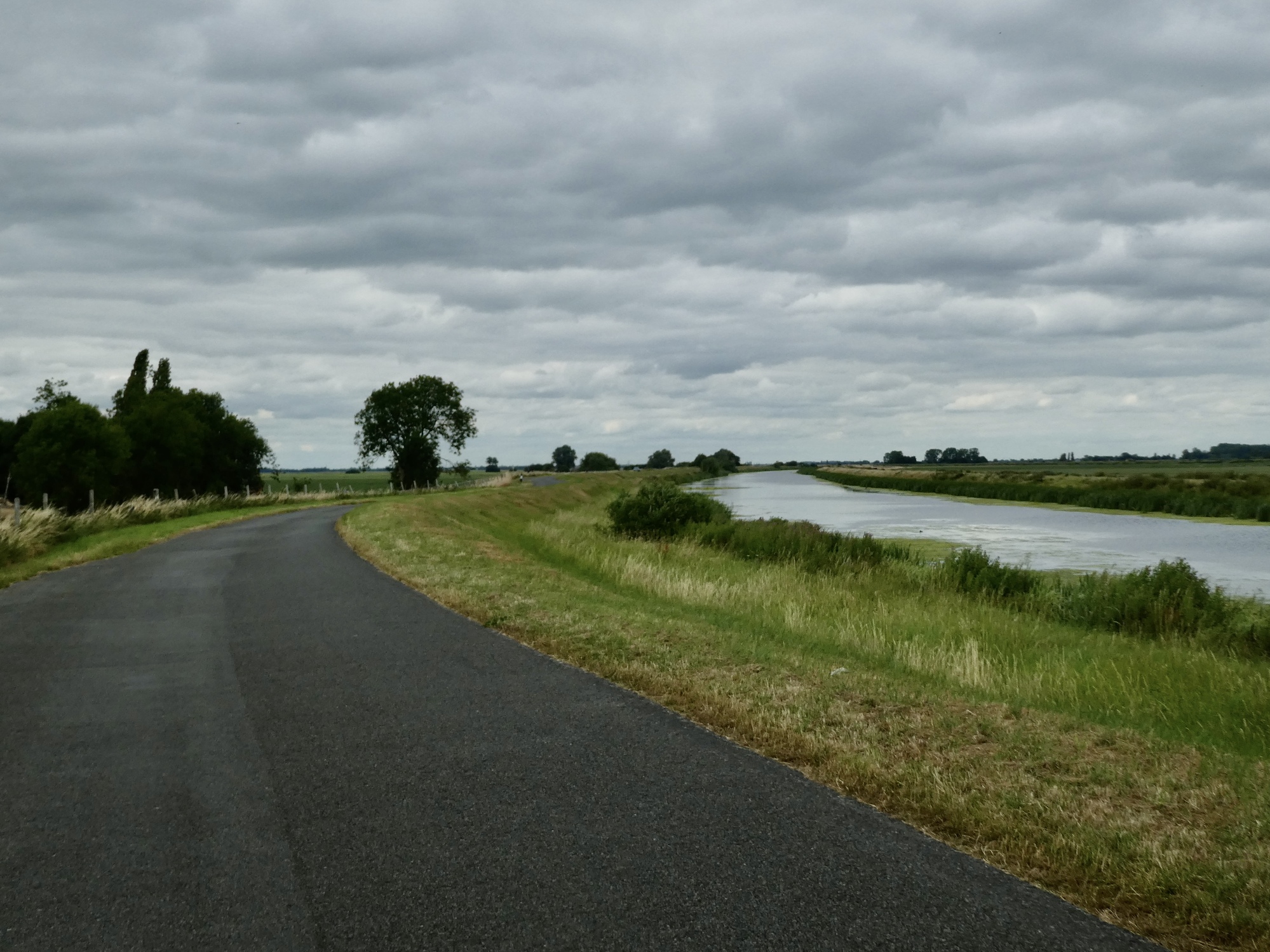
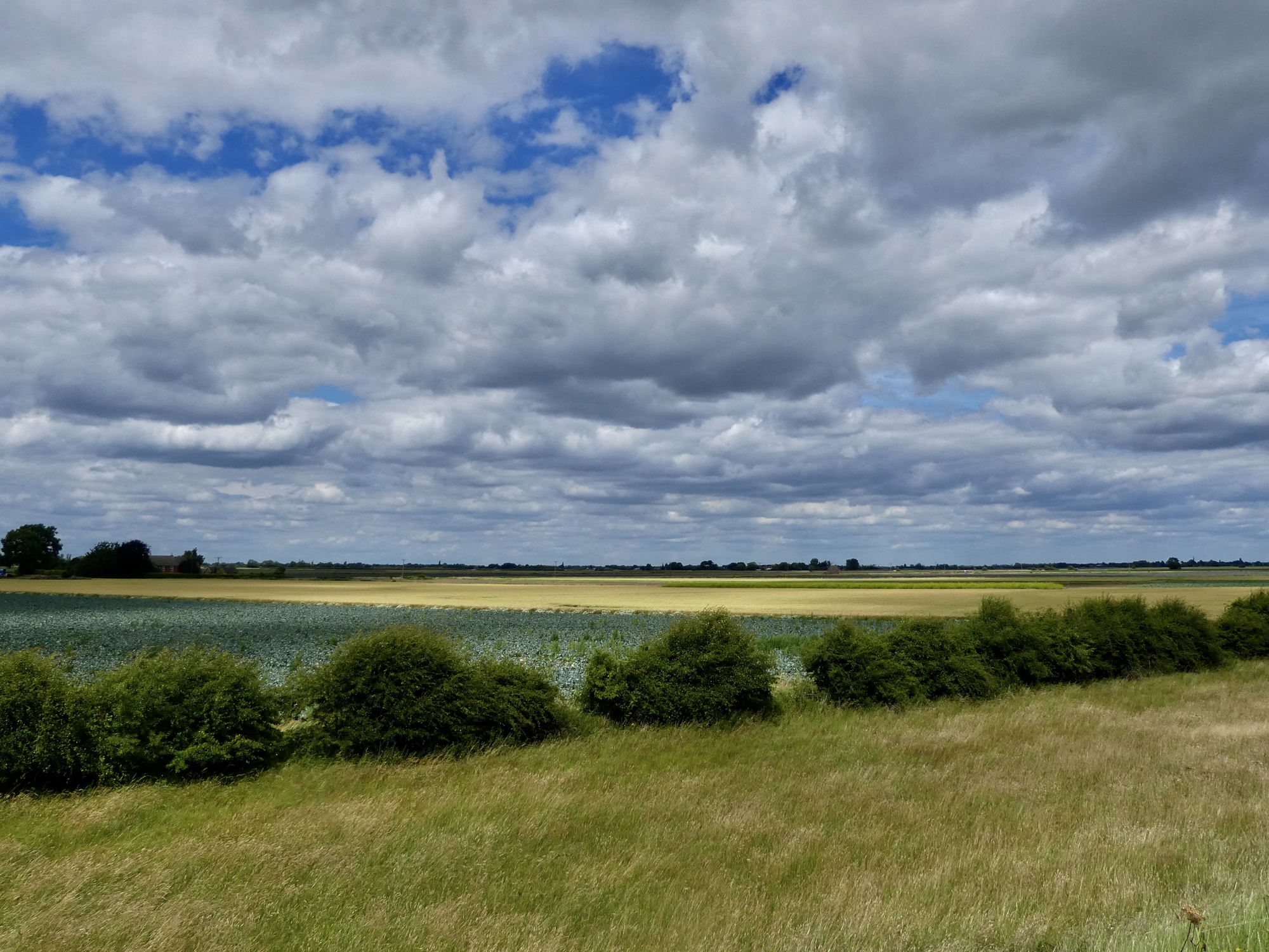
After four or five miles we leave the last of Peterborough’s suburbs and modest hills behind as we approach the River Welland and drop to near sea level. The Fens again.

| Heart | 4 | Comment | 0 | Link |

| Heart | 1 | Comment | 1 | Link |

| Heart | 2 | Comment | 2 | Link |
3 years ago
3 years ago

| Heart | 2 | Comment | 0 | Link |

| Heart | 1 | Comment | 1 | Link |

| Heart | 5 | Comment | 0 | Link |

| Heart | 1 | Comment | 0 | Link |

| Heart | 3 | Comment | 0 | Link |

| Heart | 4 | Comment | 0 | Link |

| Heart | 4 | Comment | 2 | Link |
It’s quite windy today, but generally in our favor. Twenty miles into the ride we come to pretty Spalding and stop for lunch on a bench by the river, sheltered from the wind by a large willow. Up until now it’s been an excellent ride, but the best is behind us. let’s pause to rerflect on the best part of the day before moving on:
Video sound track: High Five, by Yasmin Williams
Up ahead we play an unpleasant and at times frightening game of tag with highway A16 for a few miles. If there’s one beef I have with the NCN it’s that occasionally it lands you at a major highway that you have to take your life in and dash across in a gap. At least all of these crossings have a landing pad in the center so you only need to time the traffic in one direction at a time; but still, a well placed pedestrian overpass would make a world of difference.
And then, our pal RideWithGPS has one final surprise in the day left for us.

| Heart | 1 | Comment | 0 | Link |

| Heart | 2 | Comment | 4 | Link |
"What happened to Bob at RideWithGPS?"
"Oh, he was defenestrated after leading Team Anderson down an unmettled road ... Serves him right!"
3 years ago
3 years ago
And it's kinda fun to think of you throwing a RideWithGPS guy out a window.
3 years ago
3 years ago

| Heart | 1 | Comment | 0 | Link |
So that’s the day. We’re in Boston for two nights (a fitting spot to spend the 4th of July on!), staying in the historic White Hart Hotel. We’ll look around town tomorrow, but here’s a starter.

| Heart | 3 | Comment | 0 | Link |

Ride stats today: 41 miles, 600’; for the tour: 701 miles, 25,900’
Today's ride: 41 miles (66 km)
Total: 701 miles (1,128 km)
| Rate this entry's writing | Heart | 10 |
| Comment on this entry | Comment | 2 |
2 years ago
2 years ago