July 18, 2013
Time For Plan B: Seydisfjordur to Jokulsa-dalur
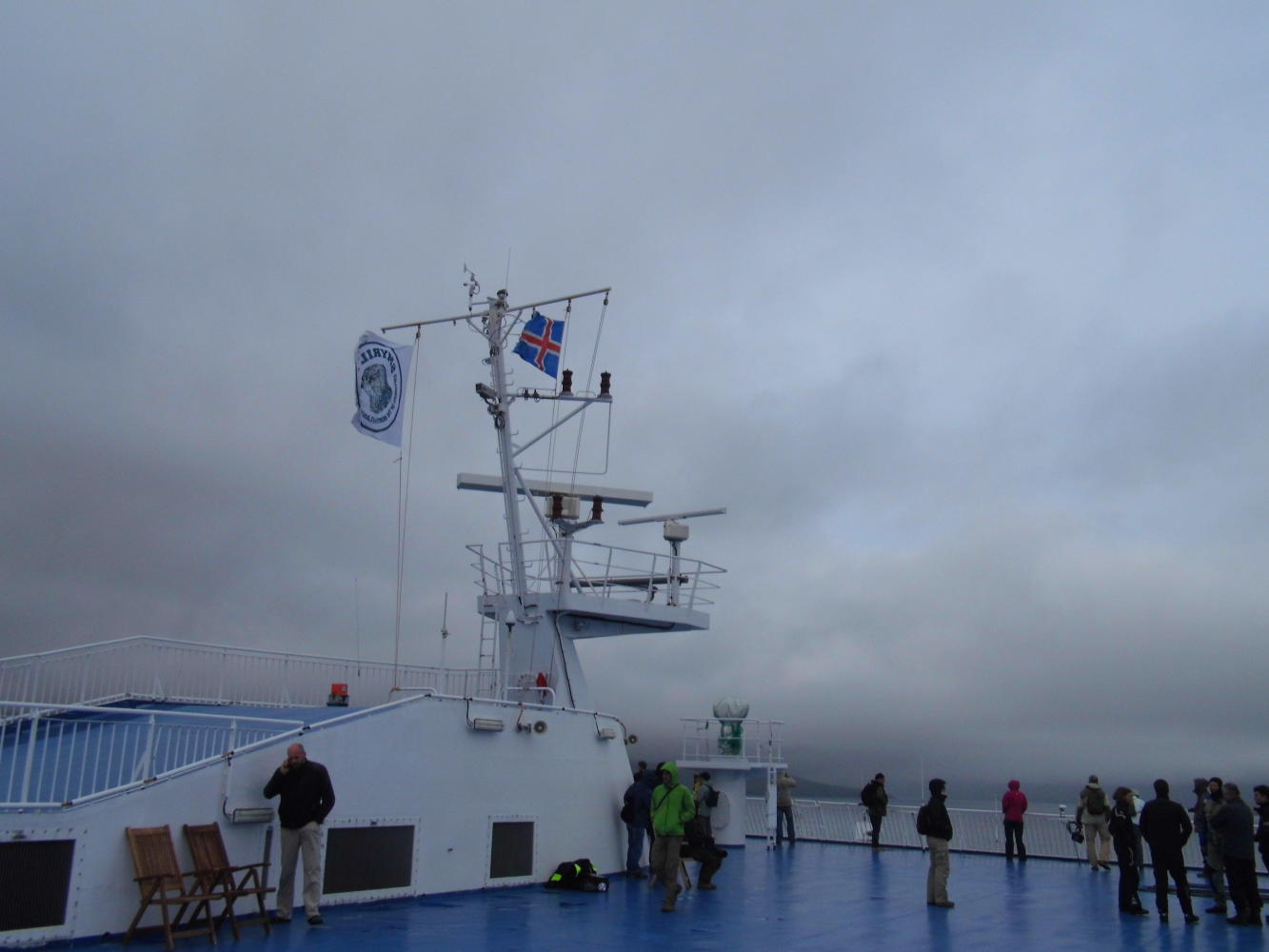
Down on the car deck, when the ship docked, I needed to top up my tyres with air before I got going, but my pump isn't as effective as it was. I think the washer in the barrel is worn and on it's way out, though when I tried pumping a spare innertube it worked okay; it's just hard to get the tires really hard with it. I borrowed a pump of another cyclist in the end.
All the motor bikes and vehicles disembarking from the ship were turning left leaving the port, even though, the sign had "Egilsstadir 26km and pointed right. Then about two hundred metres to the left, I saw them all queuing at a petrol station to refuel, which explained it.
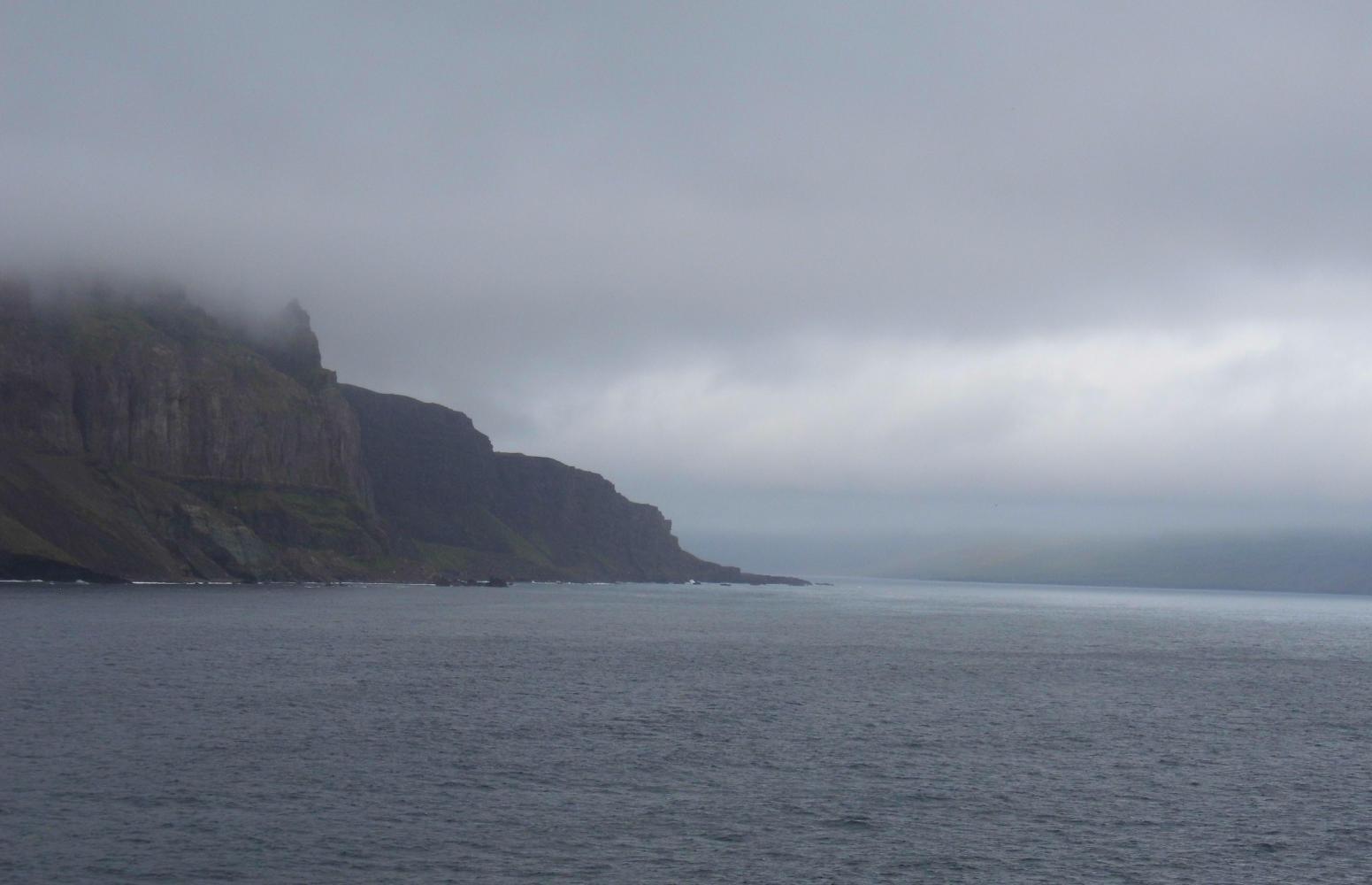
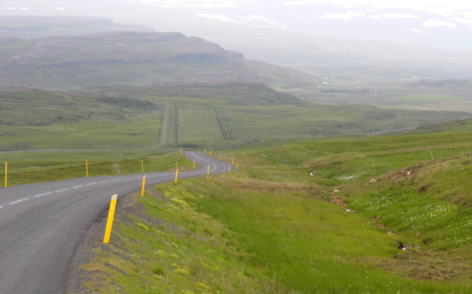
Because of my pump problem all the cyclists had gone ahead except the cyclist who'd lent me the pump who was behind me. But leaving the port-town of Seydisfjordur I could see cyclists strung out on the rise ahead. I passed a couple; then I passed the English cyclist who liked bird watching on his green Roberts; then I passed Scott the American on his pea green Surly, he shouted "hey" the way a cyclist does when passed by another cyclist on a hill. This was no hill, it was a mountain. After an impressive waterfall at the top of the initial rise, the road swung right and became even steeper, then swung around in a switch-back and continued up and around the next switch-back into the low cloud. Call me strange but I've always enjoyed climbing. It was a long time since I climbed a mountain but the burning sensation in the chest was the same as I gasped for air. And with visability down to a hundred metres, I could see no end to the steep gradient. I could hear more thundering waterfalls to the side and vehicles which had passed, could be heard up overhead. Eventually the road began levelling out and the cloud lifted a little though visability was still low. All I could see to the side were snowfields and pools of meltwater and hear the thunder of more waterfalls. Twenty-six kilometres is a long way if you cannot see very far.
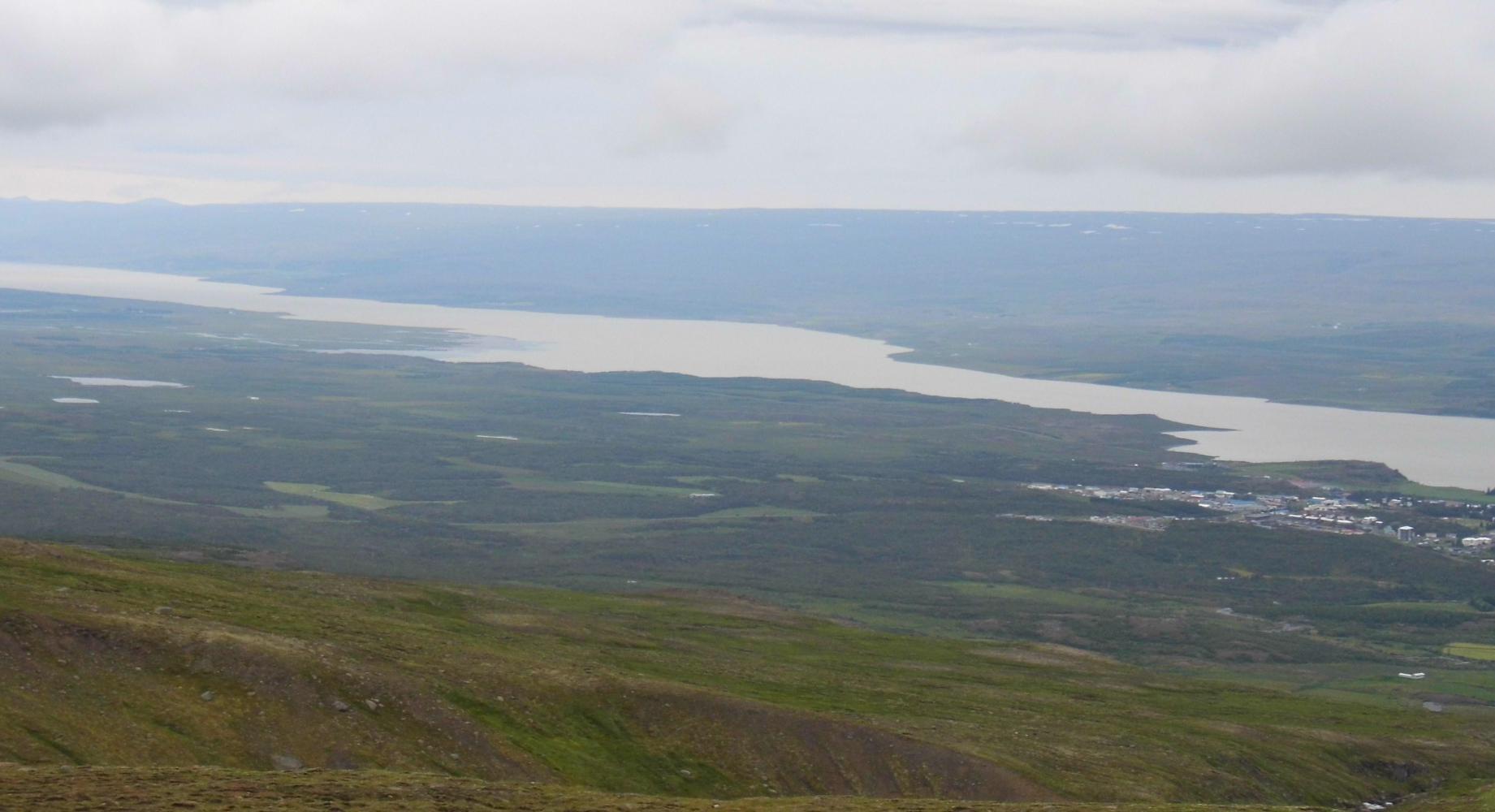
Then the road went down, below the cloud, whereupon a few of the campervans had pulled over at a view-point which looked down over Egilsstadir and Fjotsdalur (valley) with it's wide river stretching off south towards the rounded top of Snaefell (Snow Mountain), peeking over the horizon.
It was a cold descend in the chill artic air and pretty hairy with the southwesterly creating turbulence which almost pushed me off the bike. I'd to slow right down and hold on for dear life. The crosswind was problematic.
Riding down into the town of Egilsstadir, the first place I needed to see was the bank. It was still where I remembered it from the last time. Inside behind the counter, the extremely fair woman whose blue vains showed in her temple, told me when I asked, that there was one-hundred and eighty Icelandic Kroners to the pound sterling. So, I withdrew forty-thousand-Kroners, around two hundred and twenty-two pounds from the ATM.
I saw the tourist office across the way. I thought that there may be free Wi-Fi as I saw inside people with laptops on the tables where they sat. But no joy. I selected an Iceland Survey map (Landmaelingar Island) from the rack and went to pay. The woman told me there was free Wi-Fi at the café Kaffi Salt opposite. It was indeed free, but slow, extremely . What should've taken little more than fifty minutes to do, took three hours. I got so fed up waiting and waiting and seeing midday, then one o'clock and eventually two, then half two when I decided to finish off and leave. I needed to be going, but first I'd to visit the supermarket.
I still had a lot of the food I bought on Monday in Hirtshals and it'd kept reasonably well. Here I bough, crispbread, cheese, peppers and tomatoes, and various other thing that I could last many days without seeing a shop. Then I needed alcohol for my stove as the bottle I bough back in Holland was getting low. I found in the petrol station shop a plastic litre bottle of red liquid with Swedish text on the label called "RODSPRIT: Husholdningspirit. It was what I remember using the last time Is here.
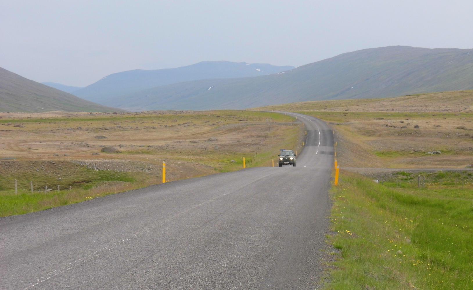
A dutch cyclist that had heard the weather forecast for the days ahead, informed me there was a lot of rain in the south for the coming days. With this in mind I turned south on highway 1, The Ring Road and cycled off into a stiff headwind. I could see it raining already over the hills to the south, whereas, back at the petrol station, there were occational glimpses of sun to the north. That was it. I didn't need any pervading to change my plan which I'd taken time to work out. I turned around and cycled back past Egilsstadir and continued north.
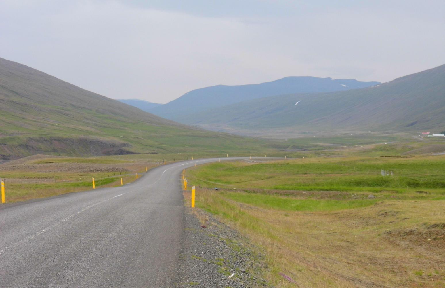
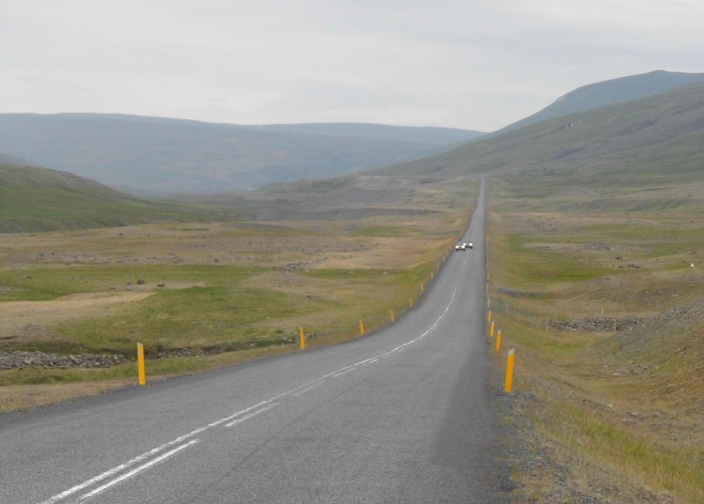
The sun in that direction earlier had gone and it had turned grey with cloud down over the hills with spots of rain hitting me on the face accompanied by a chill wind. Though the rain held off and around seven o'clock there was a late afternoon glimpse of the sun as the sky ahead lightened while I headed up Jokulsa Dalur (valley). I found an ideal campsite shortly after, in a large gravel pit excavated for recent road-reconstruction.

Today's ride: 69 km (43 miles)
Total: 2,726 km (1,693 miles)
| Rate this entry's writing | Heart | 1 |
| Comment on this entry | Comment | 0 |