July 19, 2013
Modrudalur: Jokulsa Dalur to Grimstadur.
At this time of year, it doesn't get dark this far north, it's still daylight at midnight, and so, there's no urgency to be up in the morning to make use of the daylight hours. It's possible to set off in late afternoon and cycle through the night.
This morning I'd no water to make tea, so I'd to cross the gravel-pit and climb over the spoil, then descend down the steep bank to the river, quite a walk from my tent. The current was swift and the noise echoed down the valley. I carefully reached out and dipped the water bottle in calm level water at the side away from the surge. I filled the bottle, it was pretty clear for a glacier river and would do alright for boiling.
I got packed up and away at half eight, a cloudy morning and I could see the rain come in over the hills ahead. A kilometre on I pulled in at a waterfall tumbling down the hillside where I took my breakfast utensils down to the stream to wash. The rain came on and I put my rain jacket on. Then when finished, cycled on with the hood up as the light rain continued. It rained for half an hour more and when it eased, I could see blue sky off to the south; soon, the clouds overhead broke up and dispersed too.
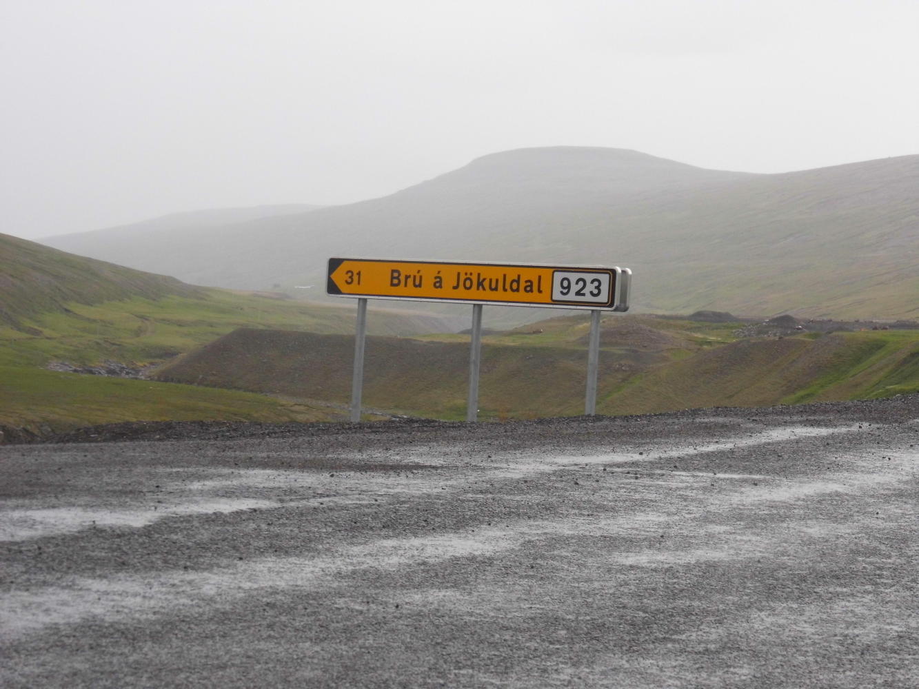
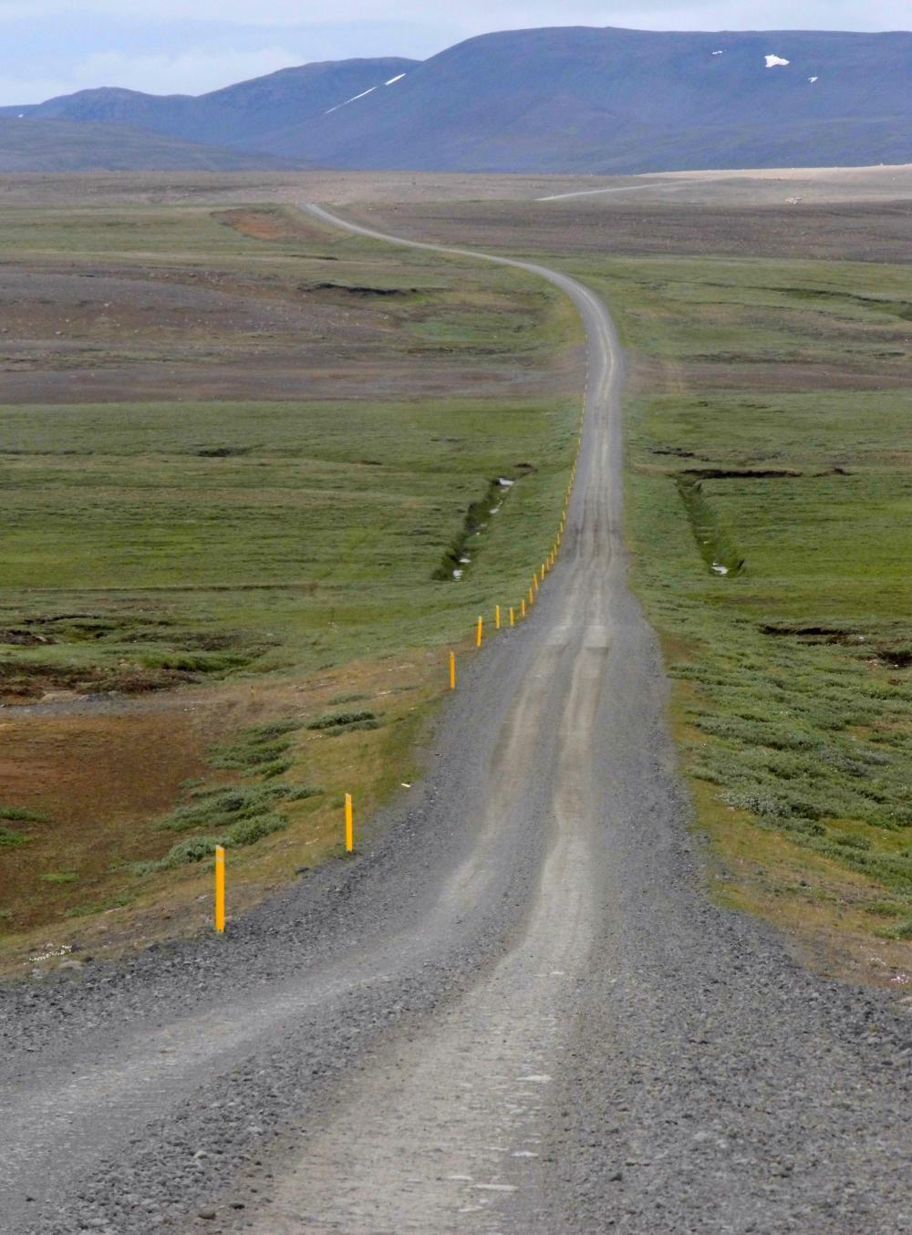
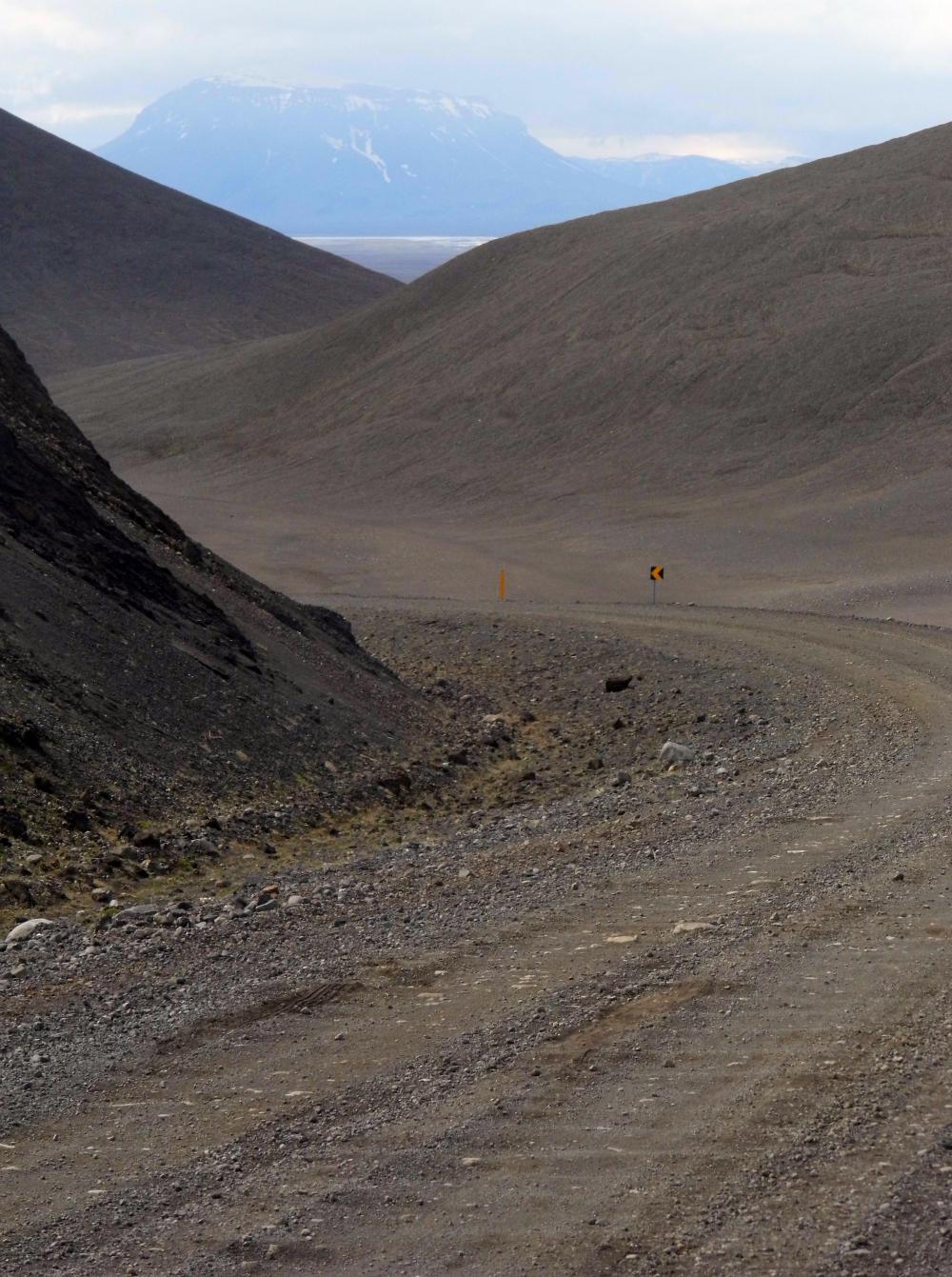
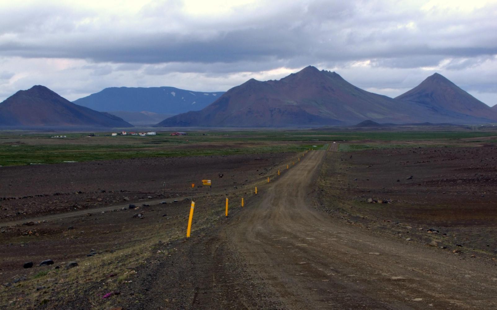
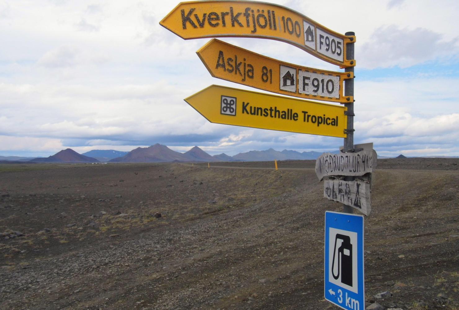
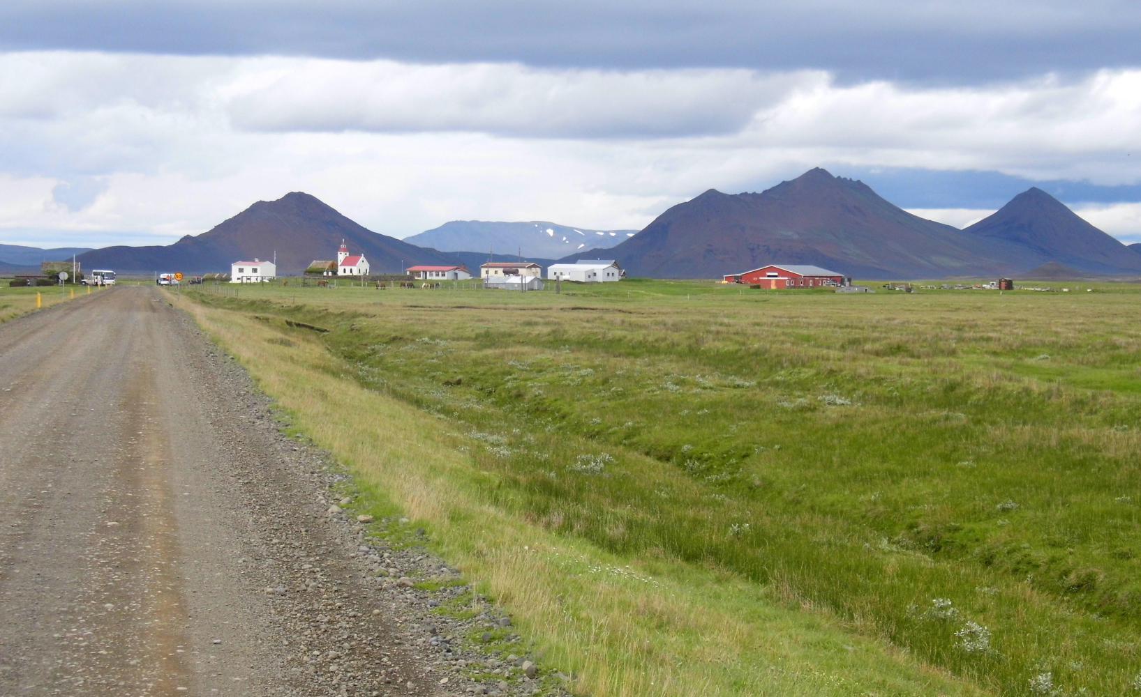
In recent years there has been reconstruction of the highway along Jokulsa Dalur, and where the road goes steeply up to the highland plateau further west, the new road climbs up the opposite side of a canyon than the old road at this point. Then about nine kilometres further the new road swings north, while, the old road has been renumbered F901 (F is Ferda I think and means highland road). Straightaway, turning off here, meant Is off the smooth asphalt and onto bumpy hard packed surface with two car-tracks clear of loose pebbles. The sign at the start had "Modrudalur 32km", normally not far, but the going was slow, though the vistas seemingly endless, scenery like Argentina, with ranges of loose black barren hills to climb up and through to the next plain. It was nearing two o'clock when I saw Modrudalur ahead with it's mystical range of camel humps in the background.
Apart from sheep and horses at Modrudalur farm, there's diverification into tourism, with a campsite a café, guesthouse and jeep-tours down to Vatnajokull glacier. Two French speaking tour-guide were having trouble gathering their group of middleaged Frenchmen and women into the Landrovers to leave. Seems, the people just wanted to remain at Modrudalur and take in the wonderful wide-open vista south towards Mount Herdubreid.
I remained for close to two hours, first eating lunch at the picnic table, then I moved into the café where I'd a coffee while loading photos onto the computer, then writing notes. I'd two more cups of coffee as refills were free.
I set off again at four, eight kilometres on to where old and new road came together again; then, a couple of kilometres further, there was the steep climb up through the humpy hills, then down the other side, the road continuing along a valley where quite a swift chilly wind rose hitting me side on. And as well, there was no shoulder, the road having a loose gravel bank down, which, would've been a disaster if sudden turbulences pushed me off the edge. Each time I met an oncoming truck or campervan, I'd too almost stop to counter the blast of wind shed.
At seven o'clock I turned off Highway 1, and was for pushing on to Dettifoss, but while passing Grimsstadir three kilometres in, thought, at twenty-eight kilometres more, it'll take three hours as the road is extremely corrugated. Instead, I turned in to Grimsstadir farm where there's a campsite. I found also free Wi-Fi in the café there. Later, it was wonderful sitting outside updating this journal at half past midnight with pink afterglow on the few wisps of cloud overhead and a view all the way south to the white snowfields of Vatnajokull.
| Heart | 1 | Comment | 0 | Link |
| Heart | 1 | Comment | 0 | Link |
| Heart | 0 | Comment | 0 | Link |
Today's ride: 88 km (55 miles)
Total: 2,814 km (1,747 miles)
| Rate this entry's writing | Heart | 2 |
| Comment on this entry | Comment | 0 |