May 7, 2020
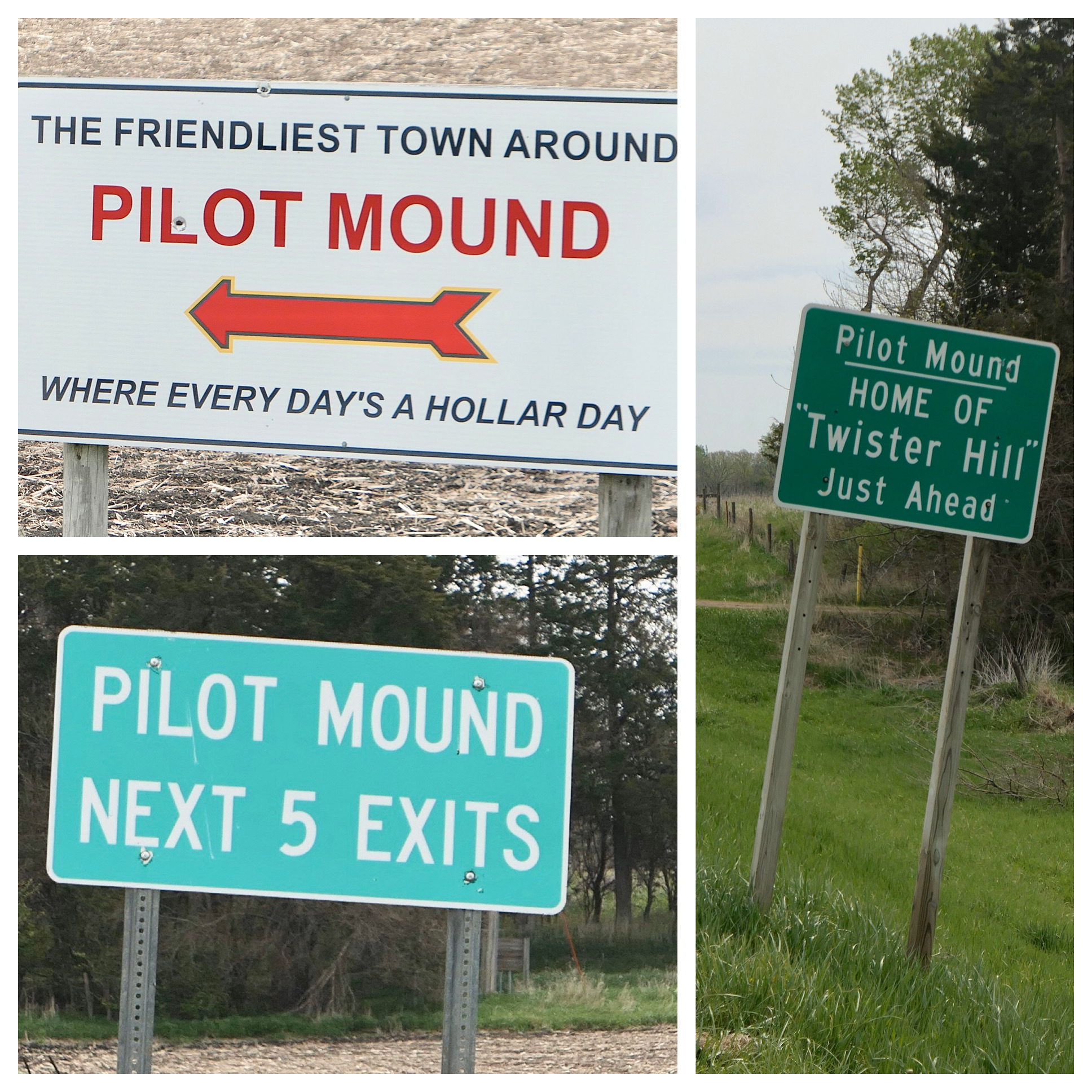
Twister Hill
One of the unexpected benefits of undertaking this “tour” of central Iowa is finding new and interesting places to explore. I’ve taken special delight in rides surrounding the Des Moines River where the terrain and landscape nicely contrast with the farmlands of central Iowa. The plan for today includes Twister Hill, named not for it's sinuous curves but for it's scene in the 1996 movie Twister.

| Heart | 0 | Comment | 0 | Link |
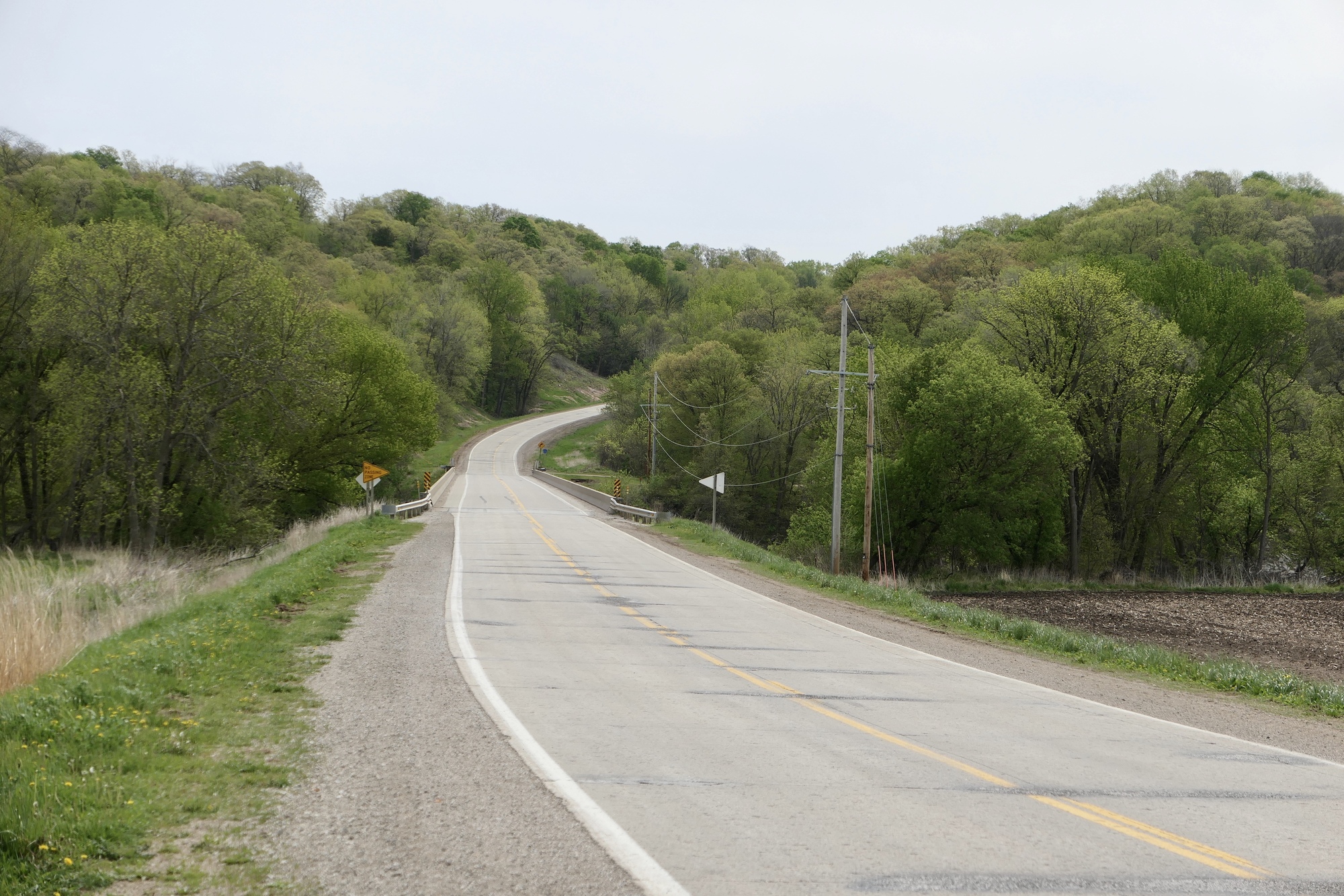
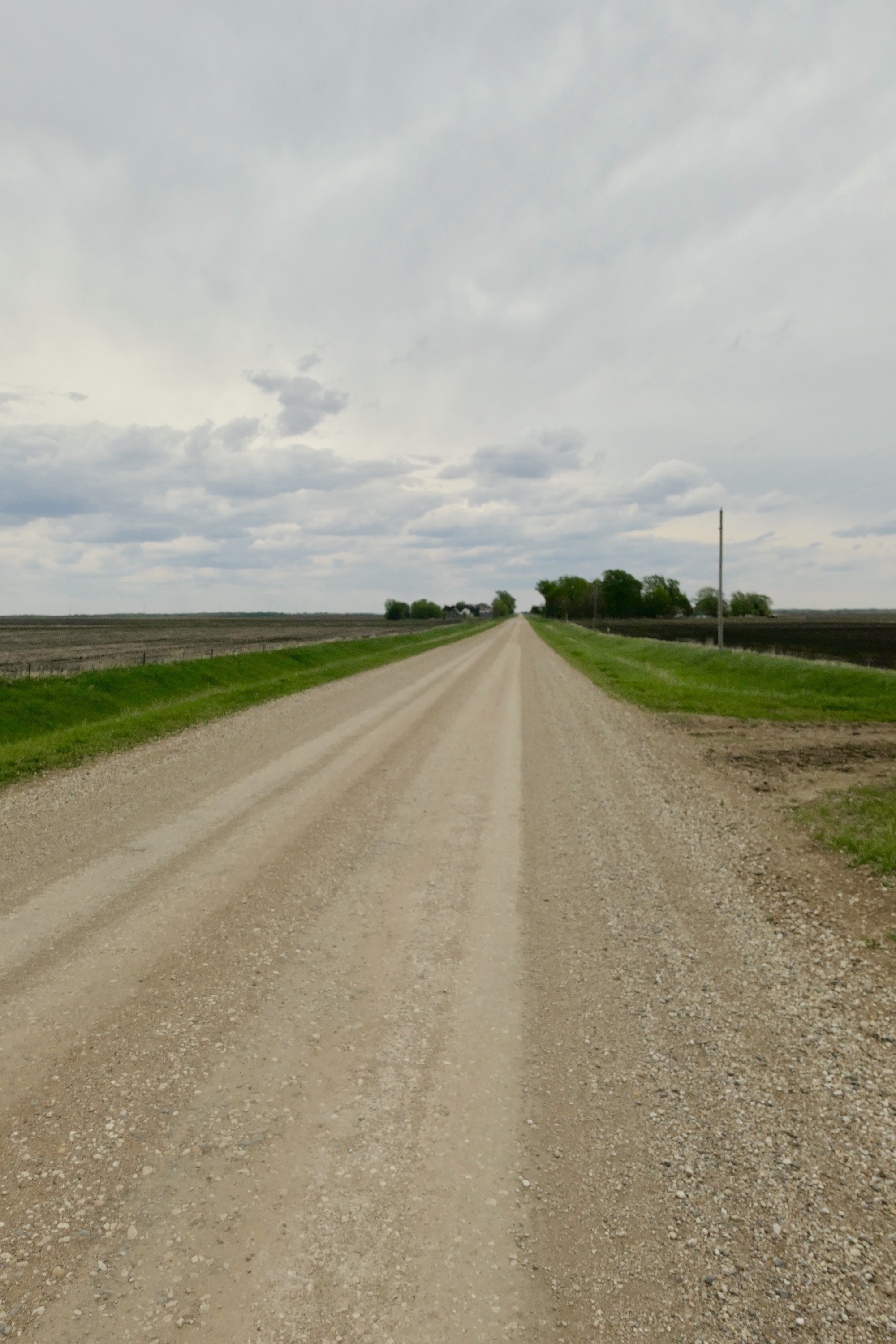
Twister Hill is probably the most difficult of the several short climbs out of the Des Moines River, at least in this area, I was not familiar with the hill or the moniker until my second RAGBRAI, where we were routed up Twister Hill. On that attempt, I made it about a third of the way up. Scared off the road by a van descending against a stream of struggling riders, I fell over when my bike came to an abrupt halt in the sandy shoulder. I was uninjured, but spooked a bit as I’d broken my leg on RAGBAI the previous year. Rather than risk another serious injury by trying to get back into the stream, I pushed my bike to the top. I’ve conquered several of the short and often steep routes across the river since then, but until today have not been back to Twister Hill.
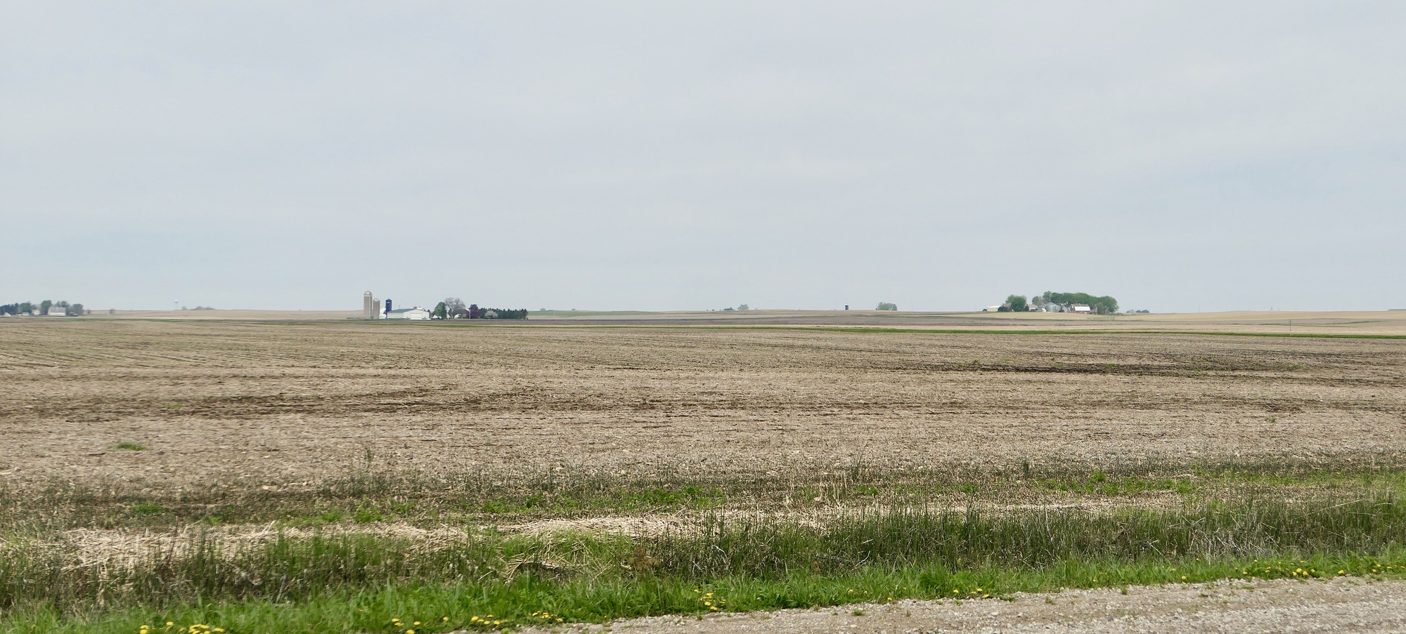
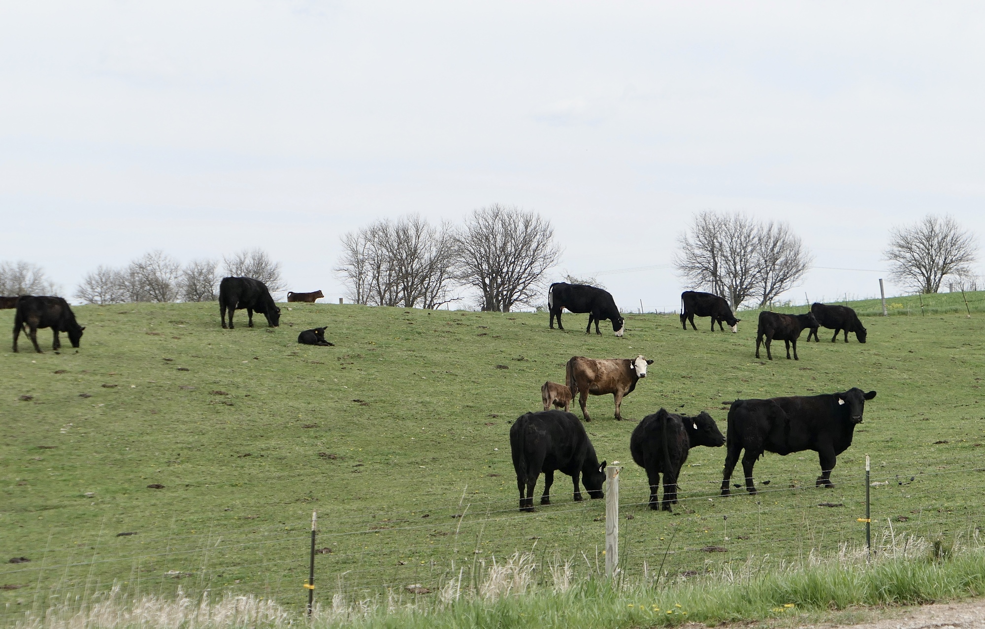
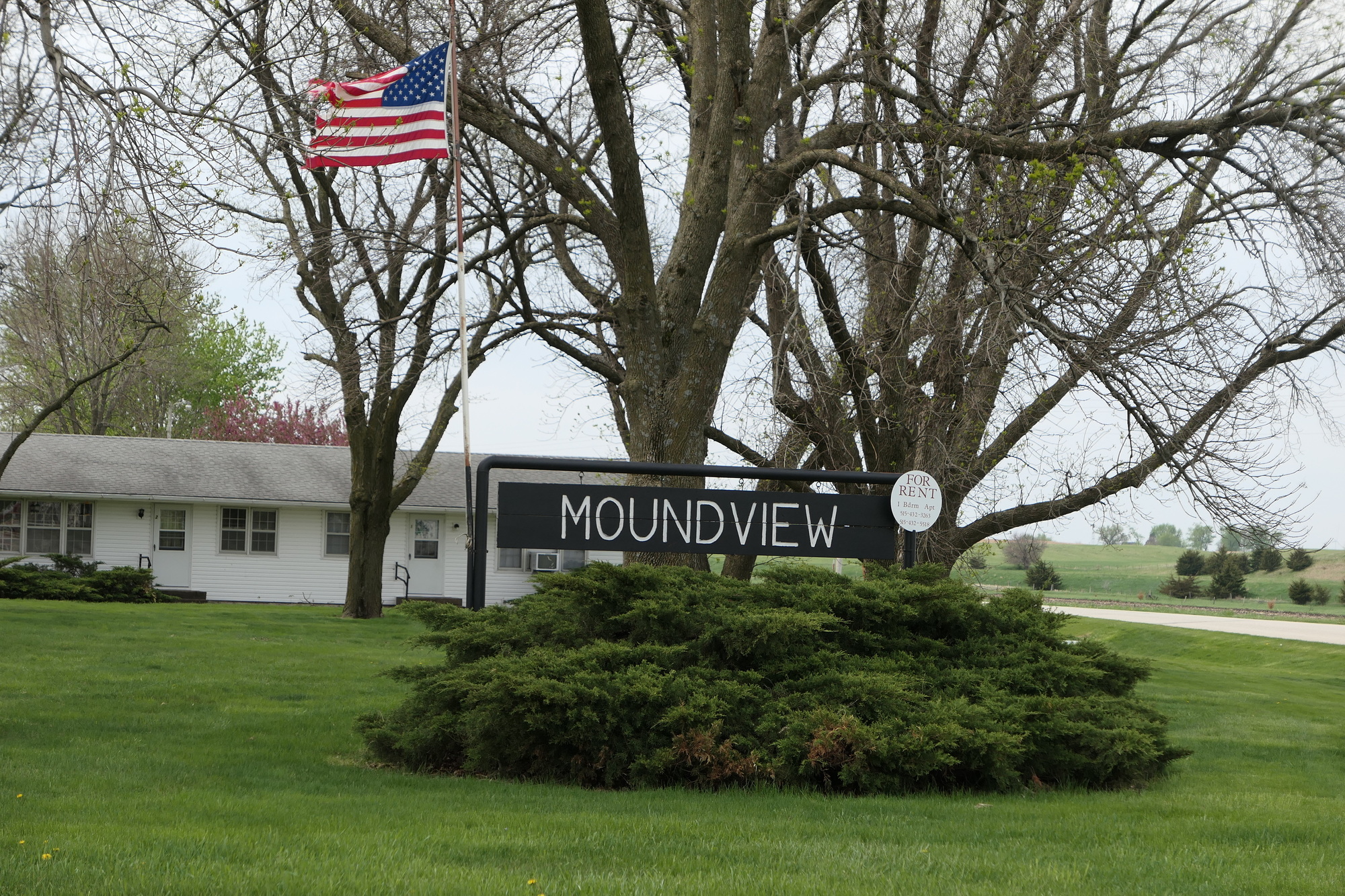
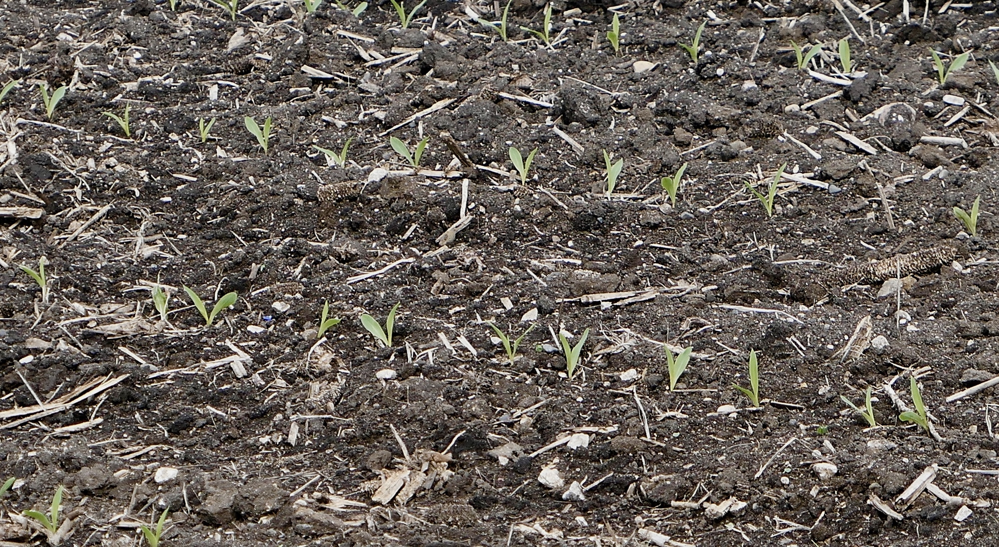
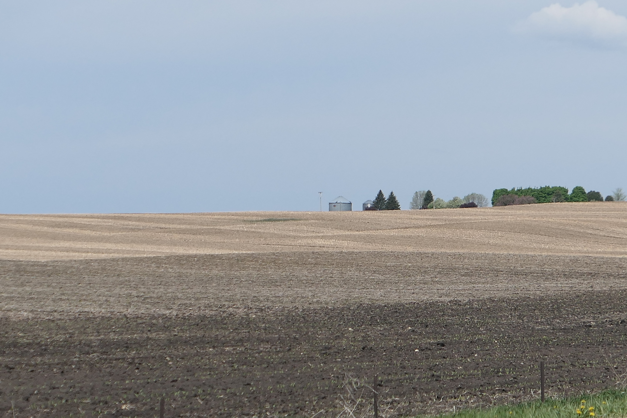
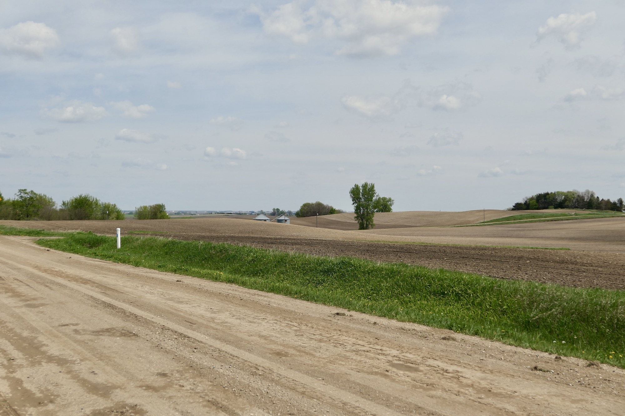
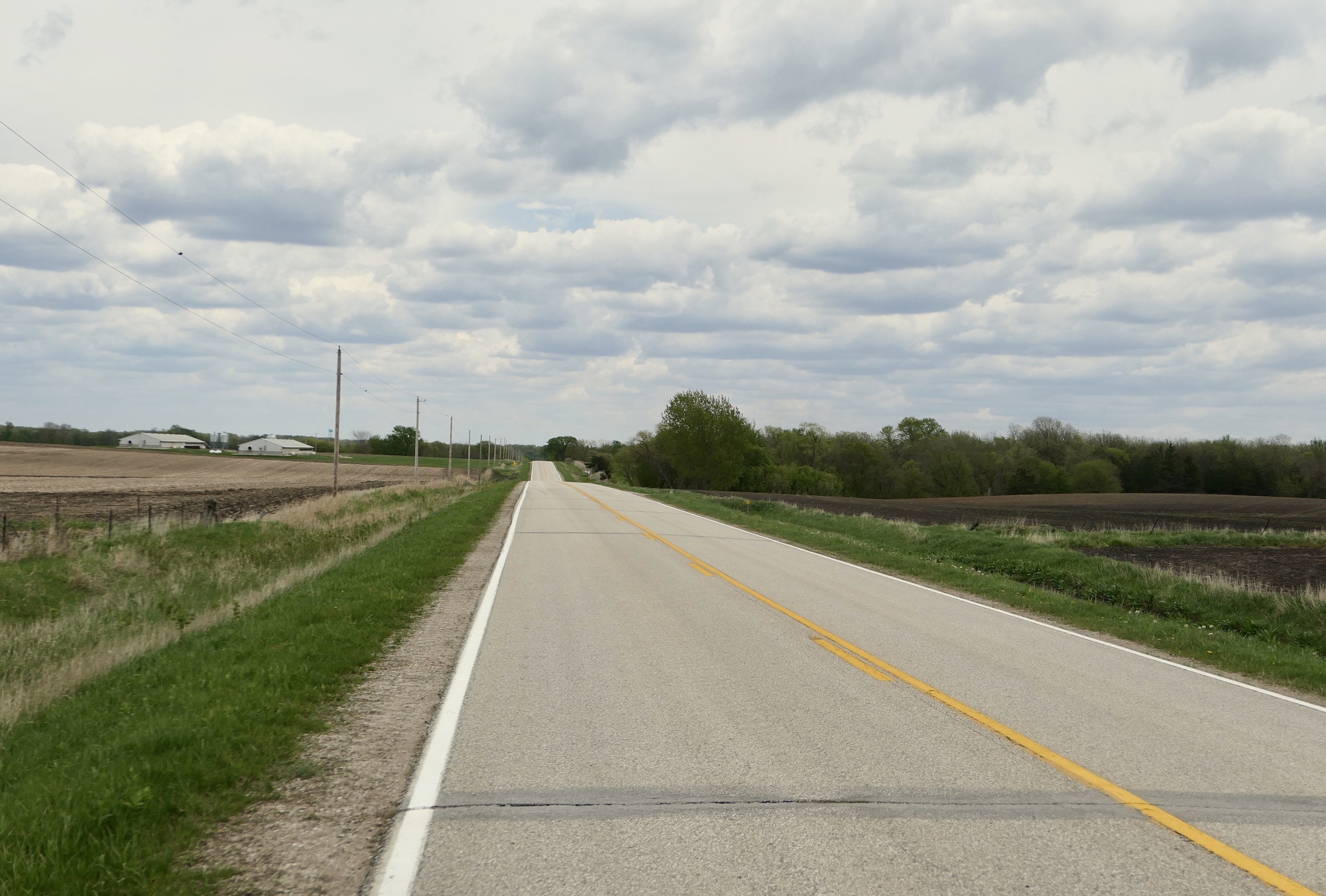
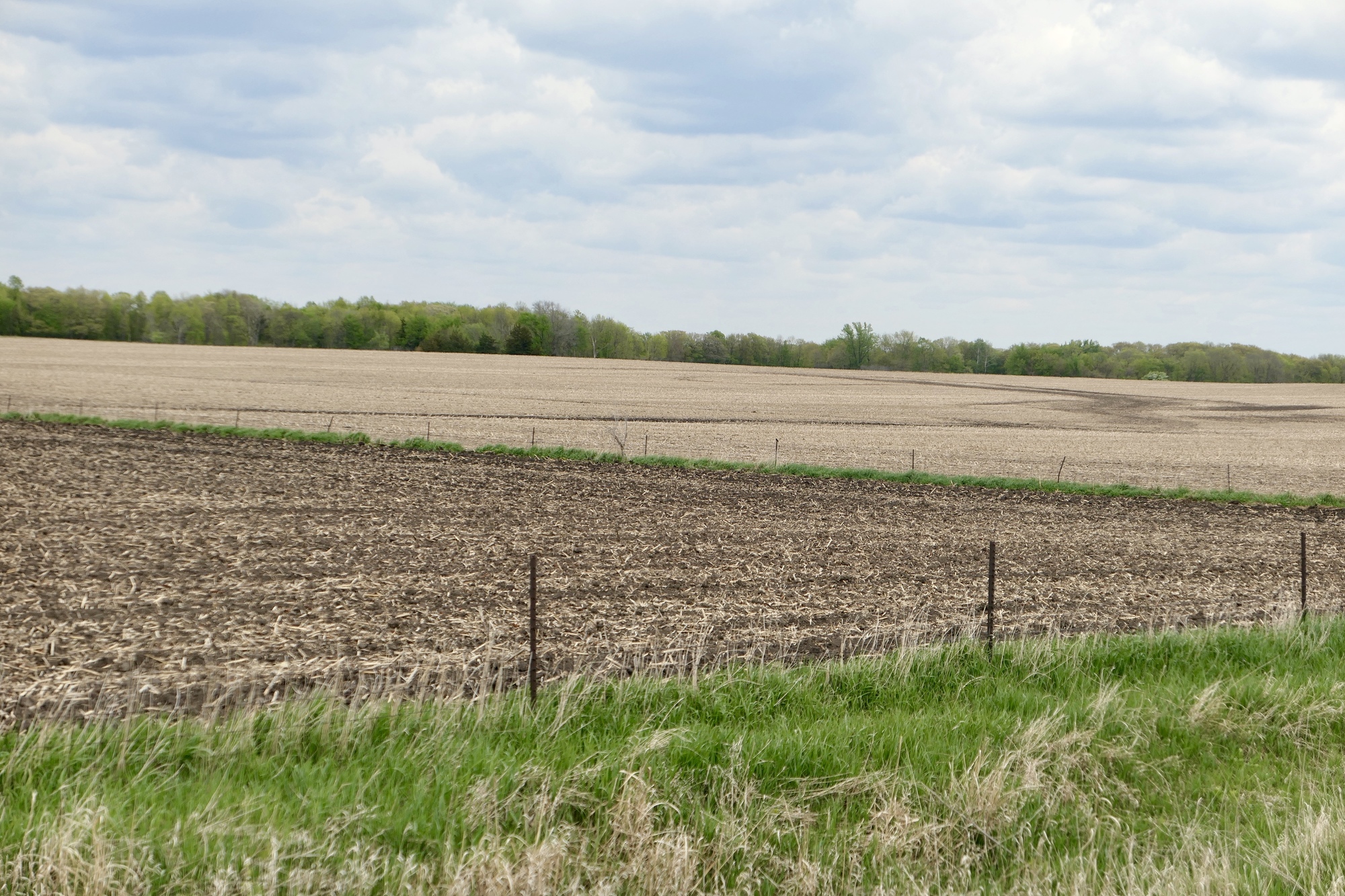
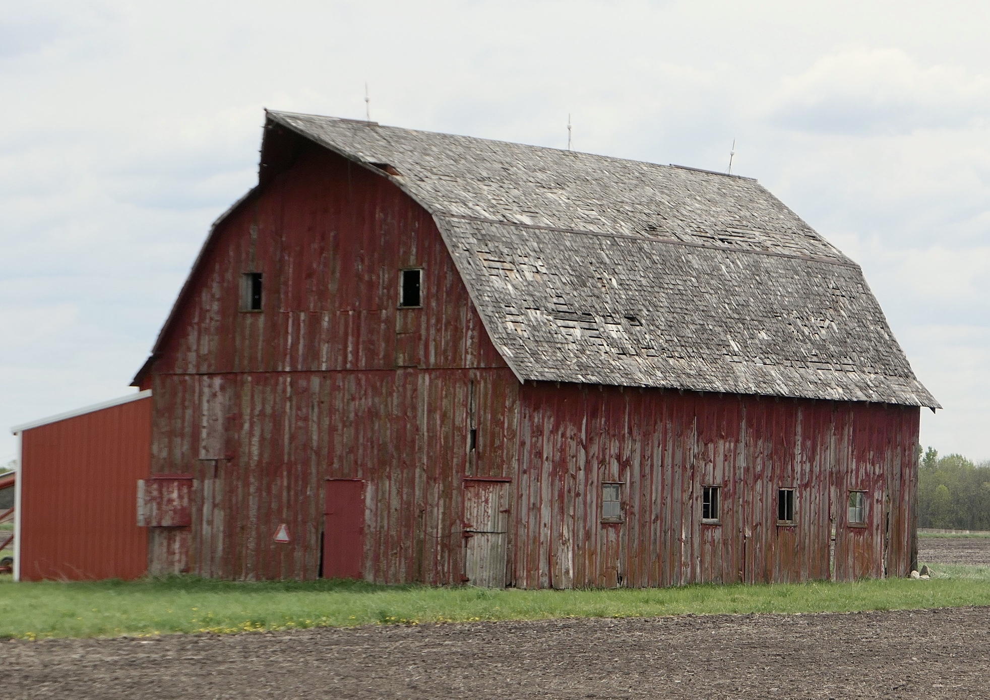
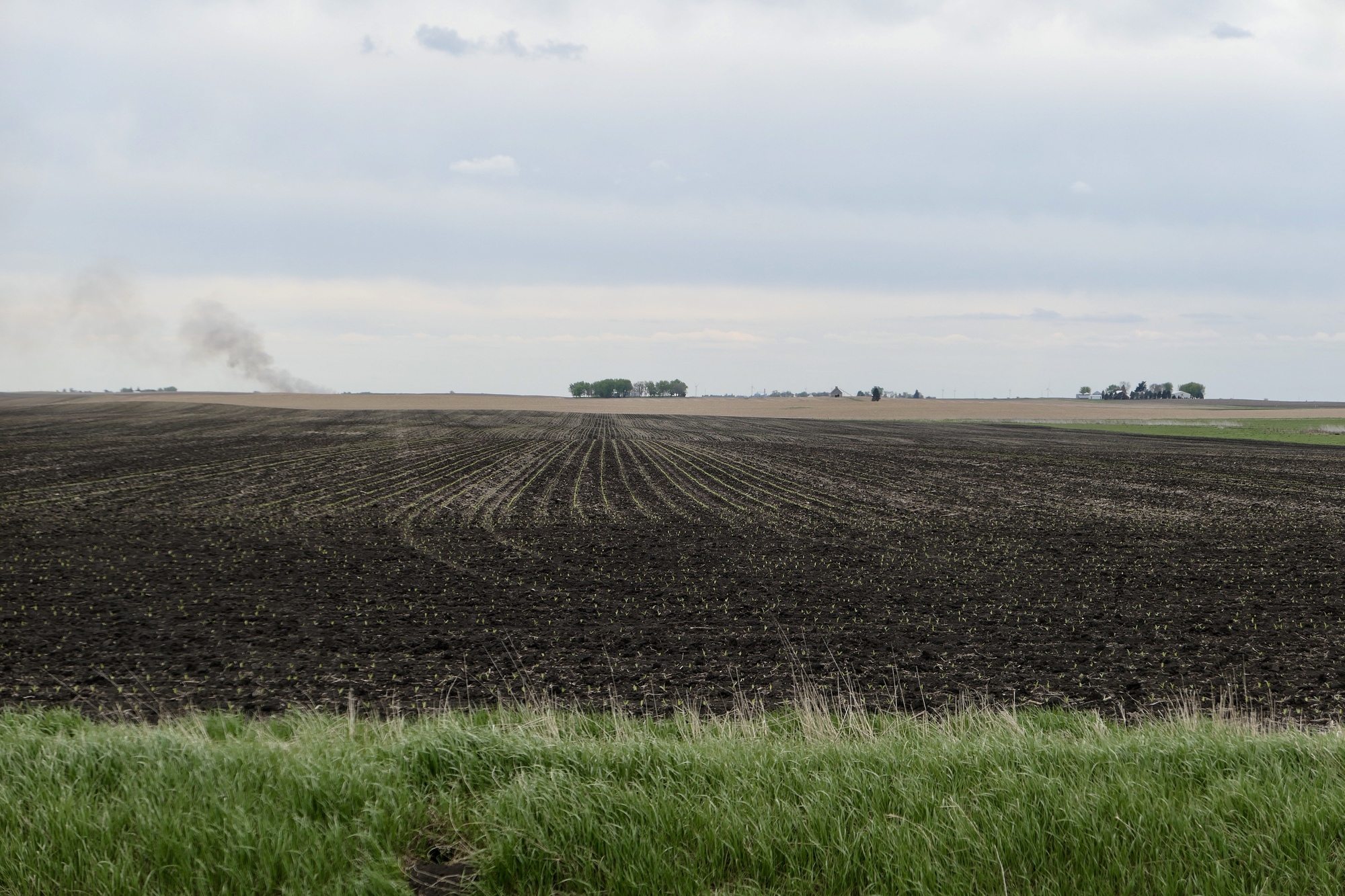
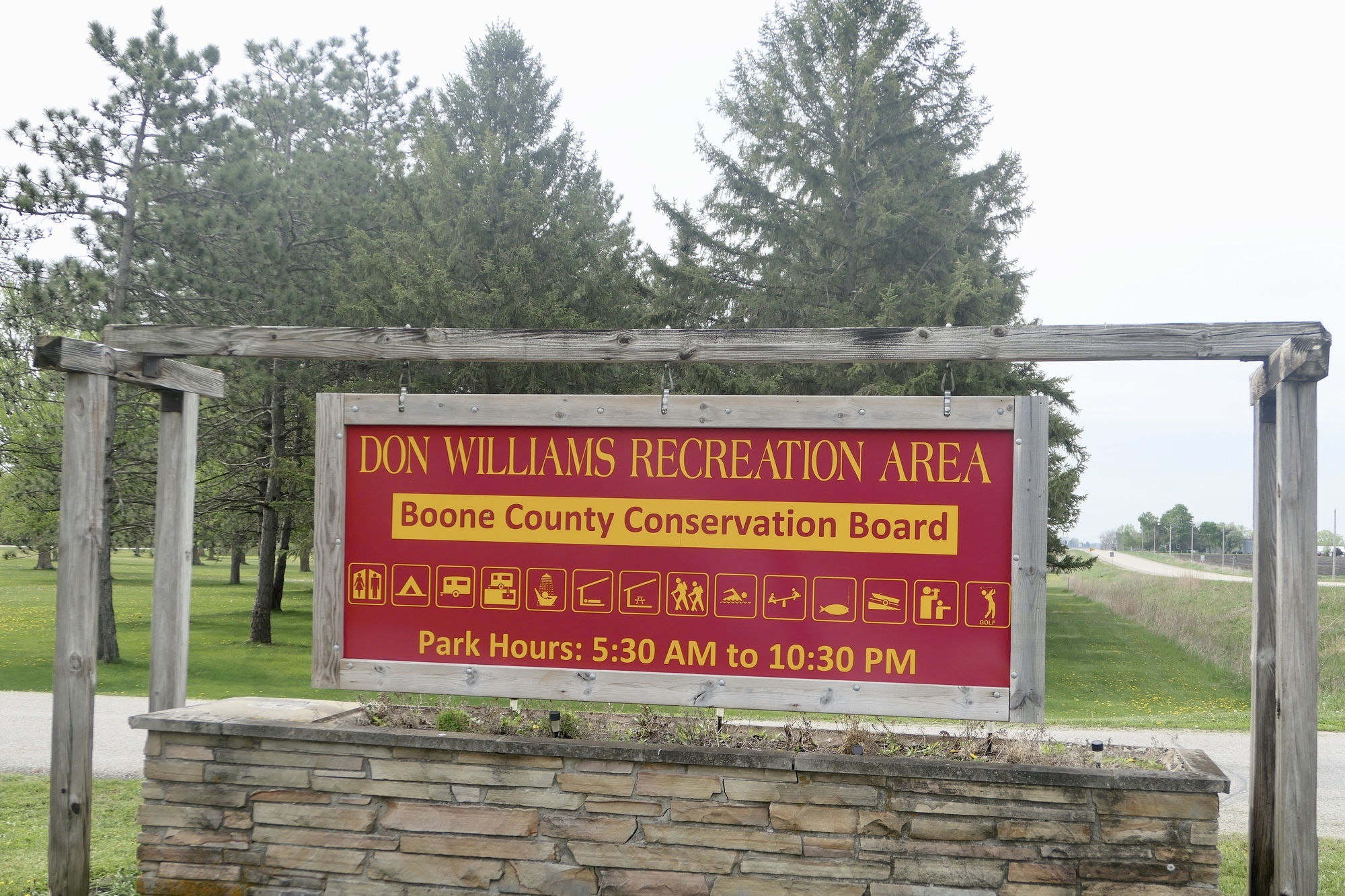
It was a somewhat pleasant riding day - overcast with temperatures around 60°F. Westerly winds were fairly light, but were forecast to pick up as the day wore on. I drove out to Don Williams Recreation Area, about 25 mile WNW of Ames, and headed north along county highway P70. The terrain to the east, toward the river, was mostly pastures dotted with cattle while farm fields stretched out to the west. After four miles, I turned east toward the small town of Pilot Mound and, as the signs indicated, Twister Hill. Pilot Mound (pop 170) is a conclave of small residents and empty storefronts just off E18, a primary east-west county highway. The Moundview Motel(?) seems to function more as an apartment complex than as place for visitors. After a quick look-see around town, it was time for Twister Hill. Before I could start my descent however, I had to stop and look at the corn – yes, small sprouts of corn in evenly spaced rows. This corn had been planted early, in the risky shoulder season, but I welcomed the seedlings as another signal of seasonal change and the greening of the Iowa landscape.

| Heart | 2 | Comment | 0 | Link |

| Heart | 2 | Comment | 0 | Link |

| Heart | 3 | Comment | 0 | Link |
| Heart | 0 | Comment | 0 | Link |

| Heart | 2 | Comment | 0 | Link |
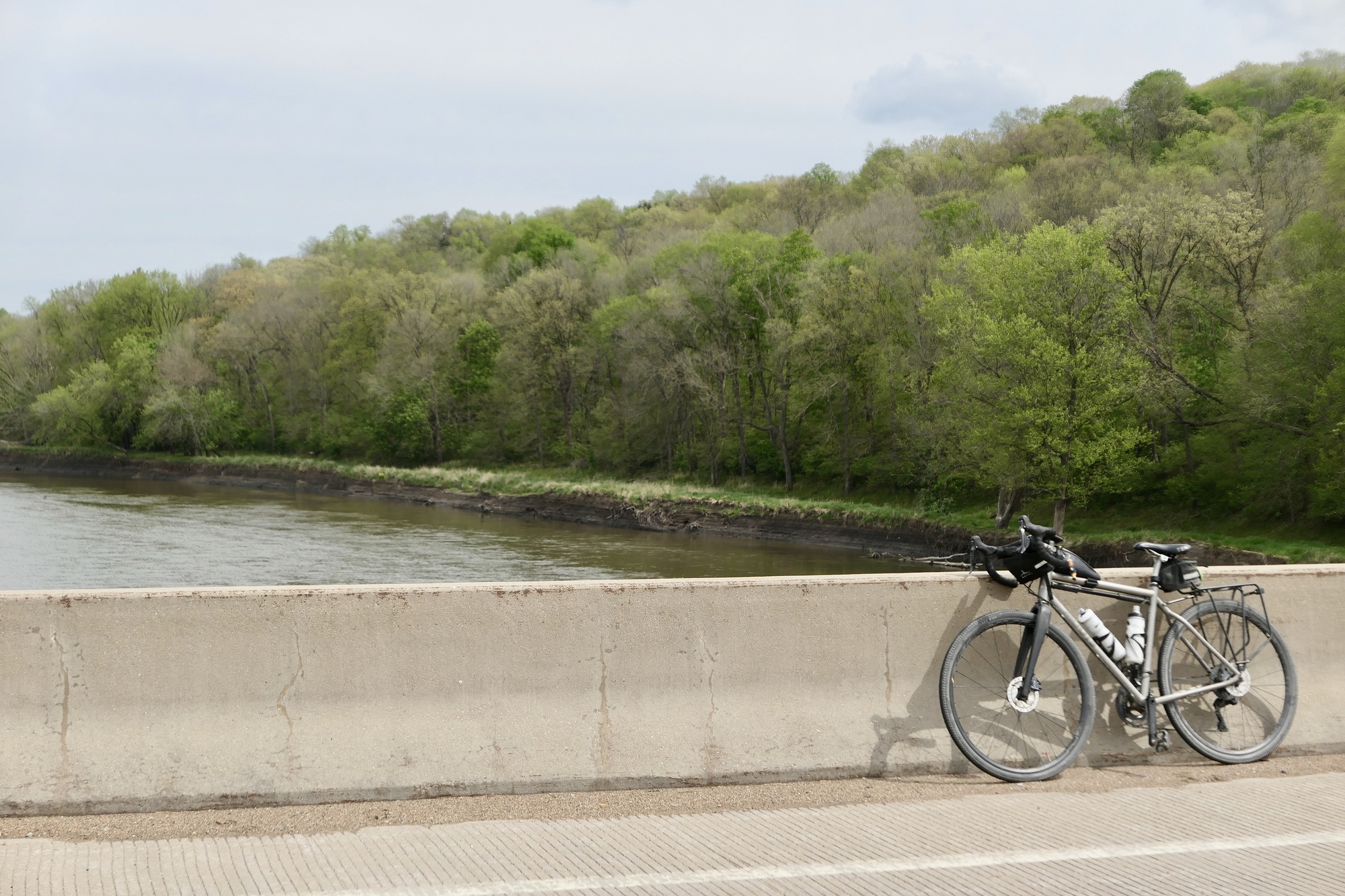
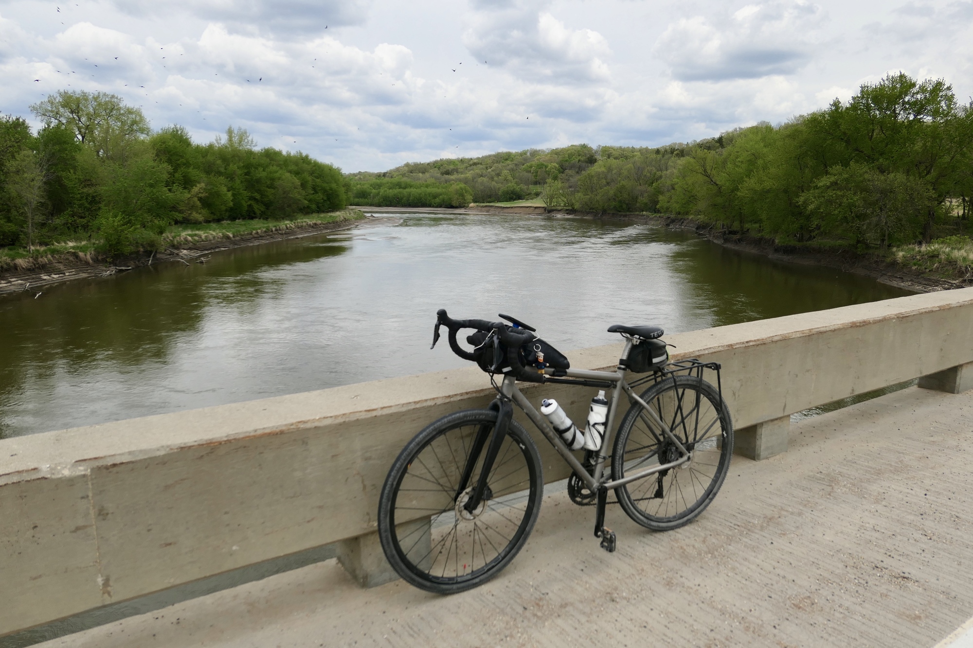
It was an mostly fun descent to the Des Moines River – I tried not to go too slow – and after the obligatory photo stop I was on my way up. I could almost pinpoint where I bailed out in 2011, smiling to myself as I made my way to the top without too much exertion.
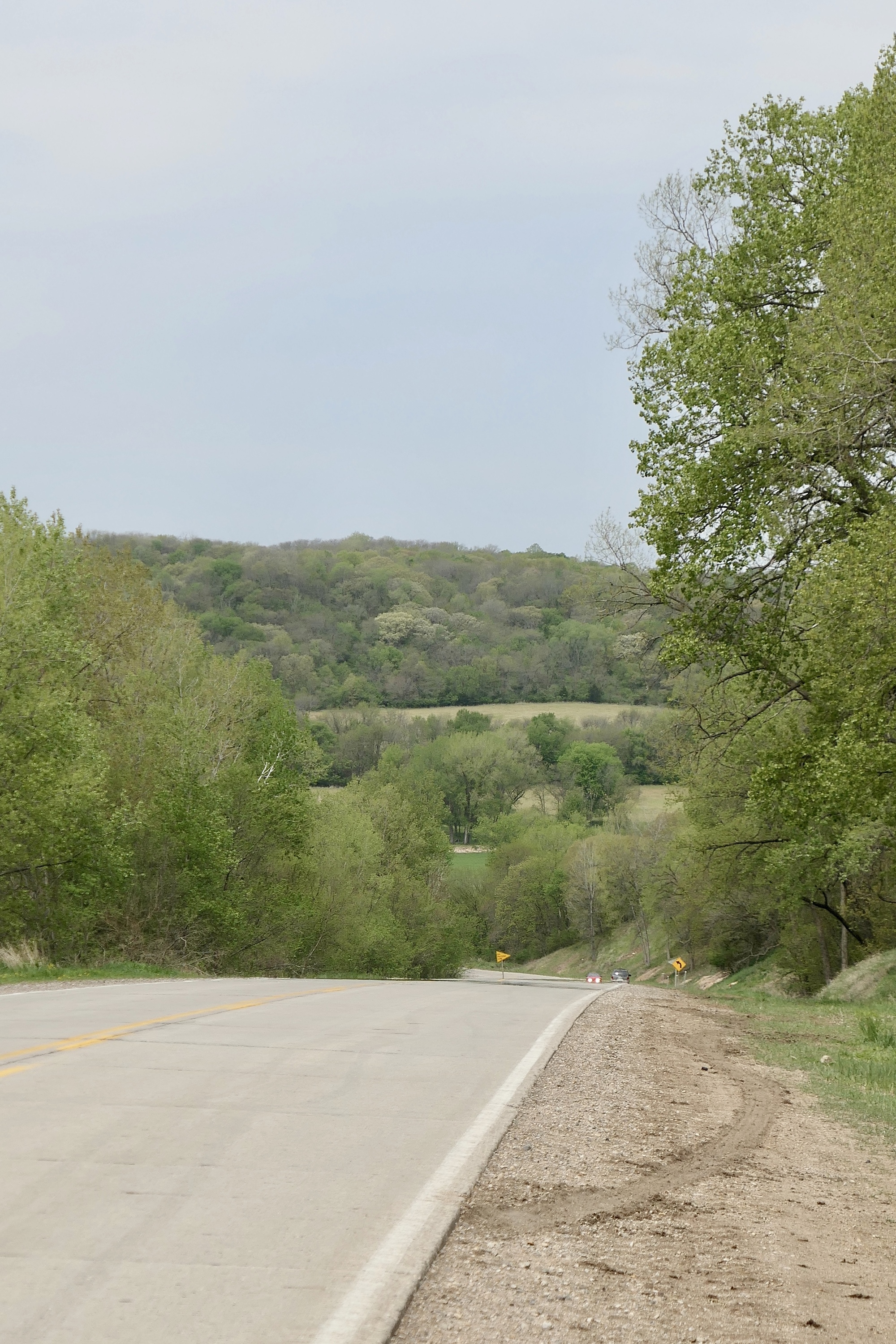
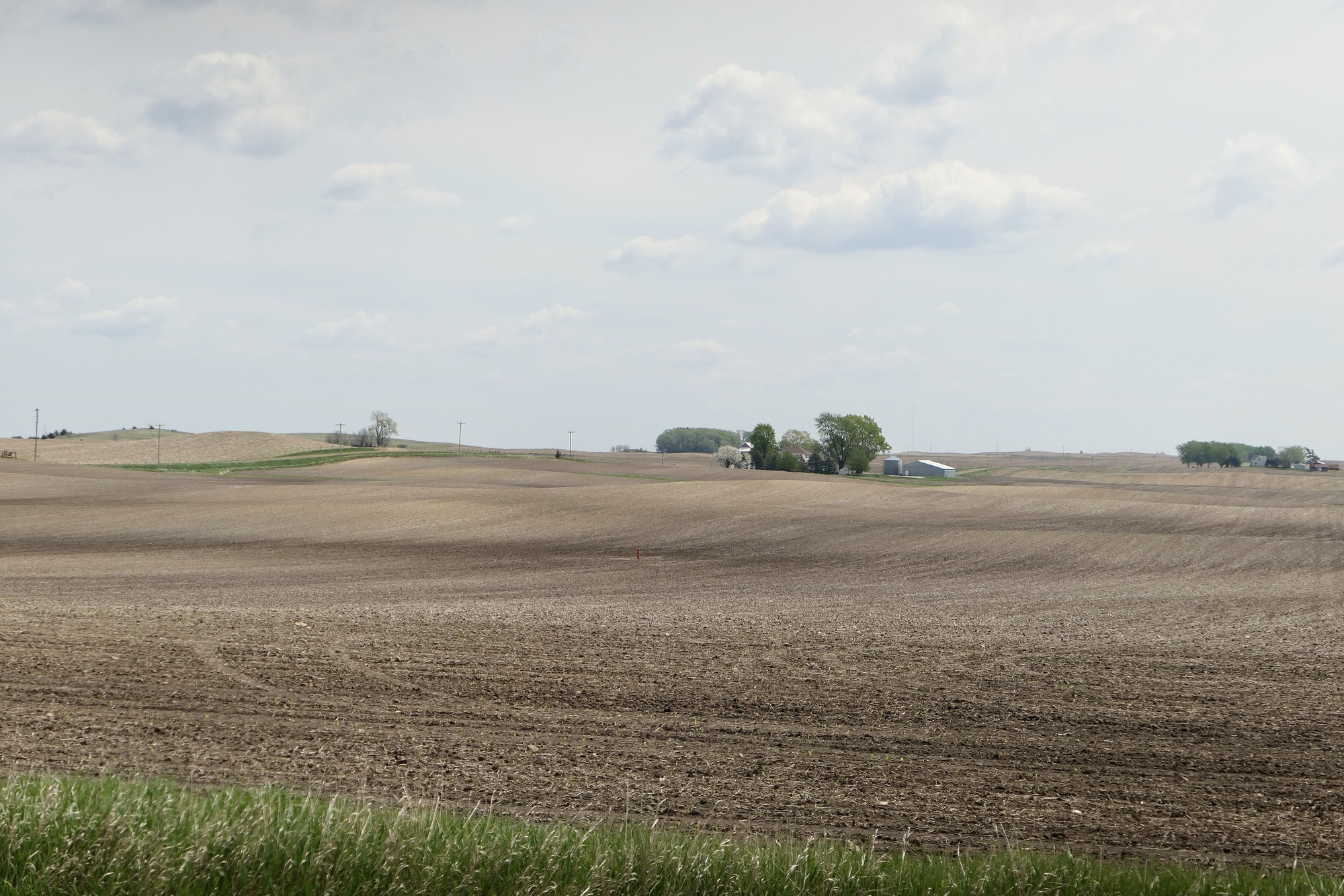
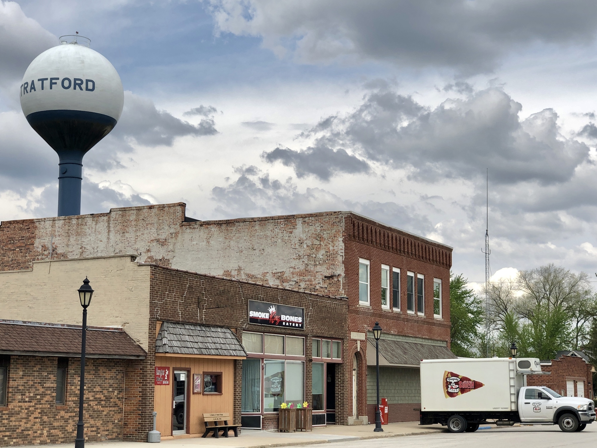
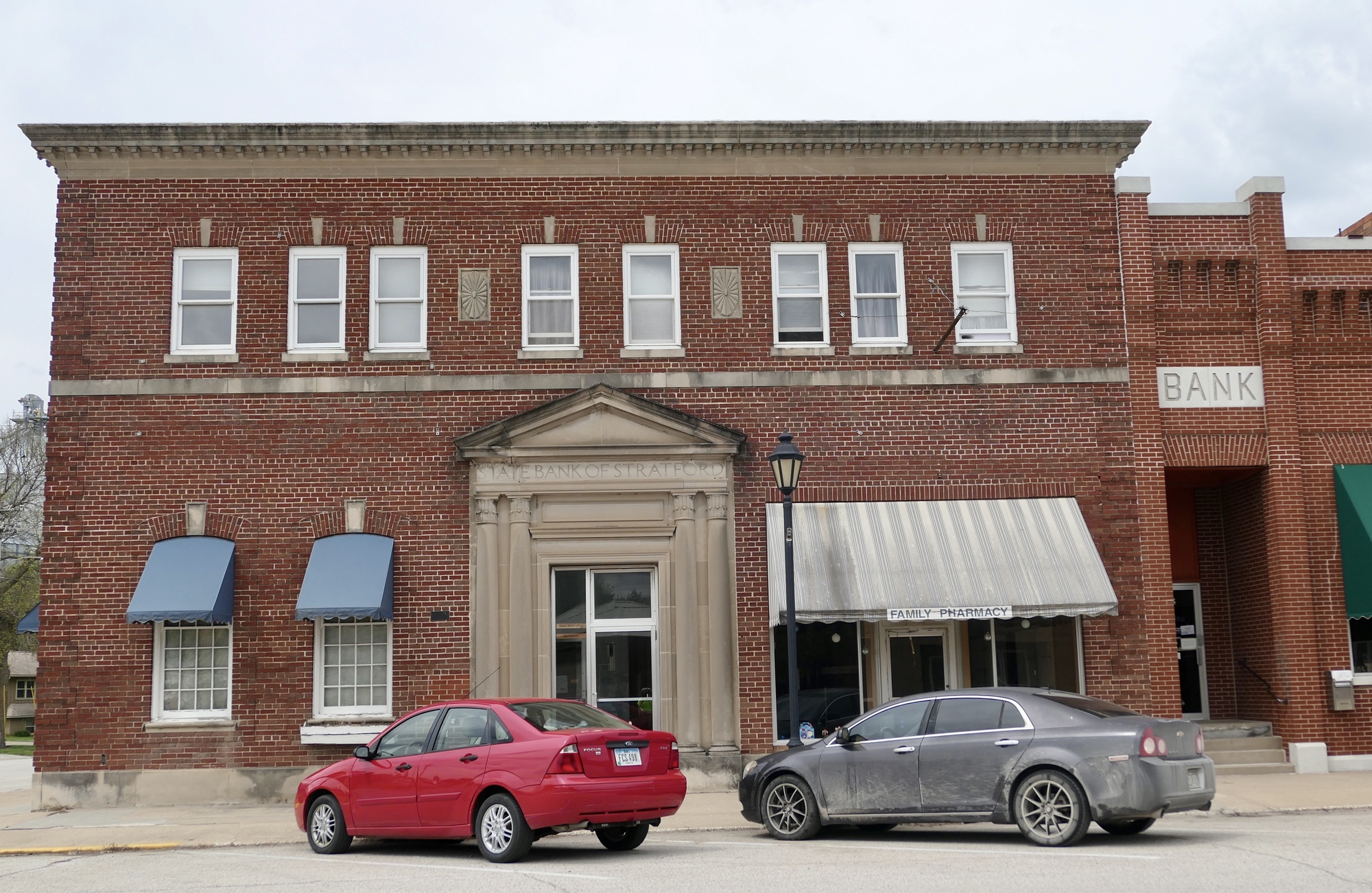
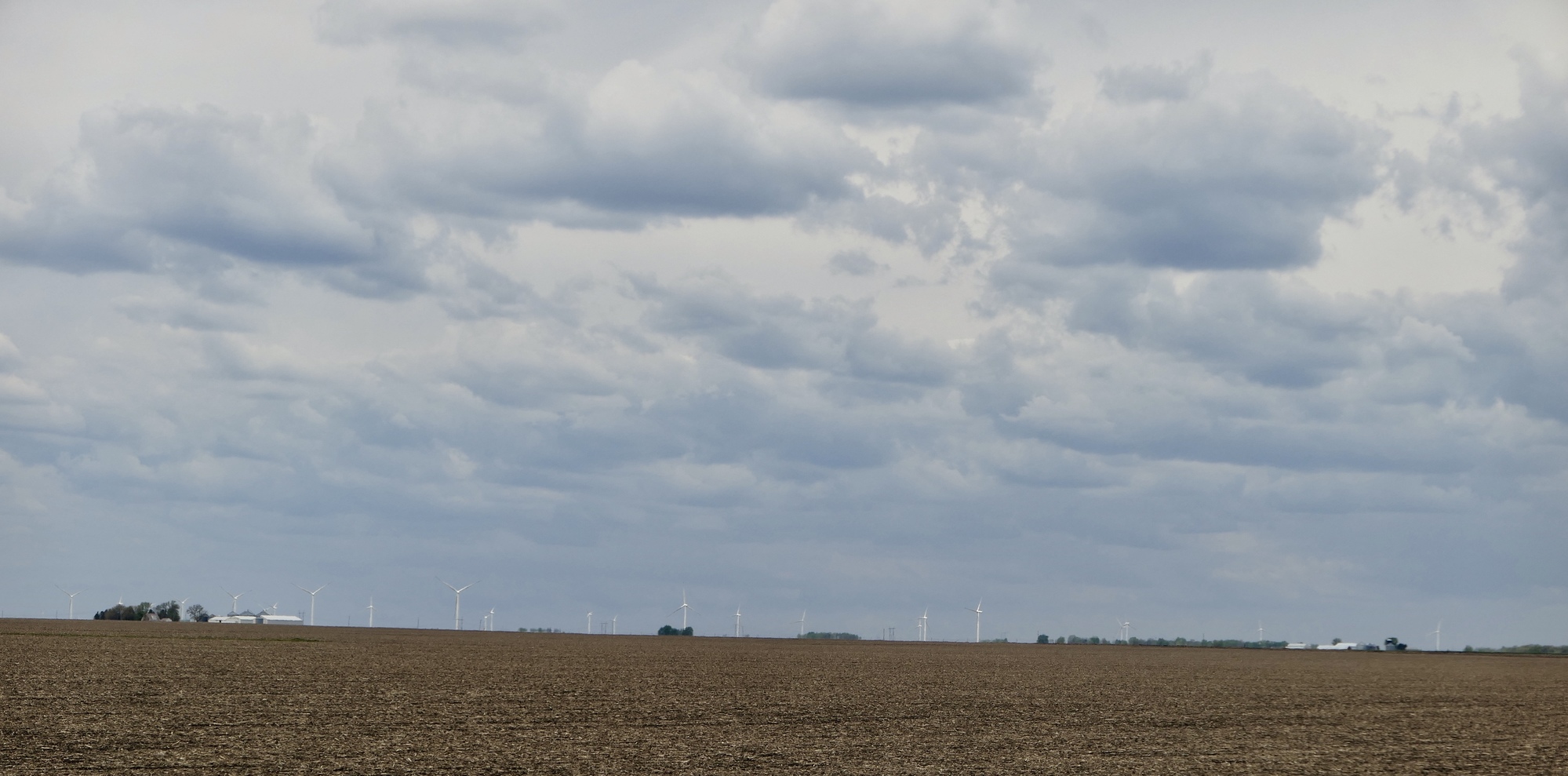
I continued east for another couple of miles and turned north onto R21, also known as Nature Road. A modest uphill climb took me through the unincorporated community of Ridgeport, formerly known as Mineral Ridge. There was a wonderful sweeping descent through rolling fields, and I was back on a quiet flat road, surrounded by farmland. The winds were inching up while the temperature hovered around 60°F, and I was looking forward to a lunch stop in Stratford, a town I fondly remembered from my 2012 RAGBRAI century ride. This town of ~700, named for Stratford-on-Avon, appears to be pretty robust, though there was decidedly less activity than the last time I passed through. The local grocery store was open, but the Smoke King Bones Eatery was closed as were most of the other shops along Shakespeare Ave, the main thoroughfare. I exchanged brief pleasantries with the few locals that passed by as I enjoyed my lunch, then headed out for another dip down to the Des Moines River.

| Heart | 0 | Comment | 0 | Link |
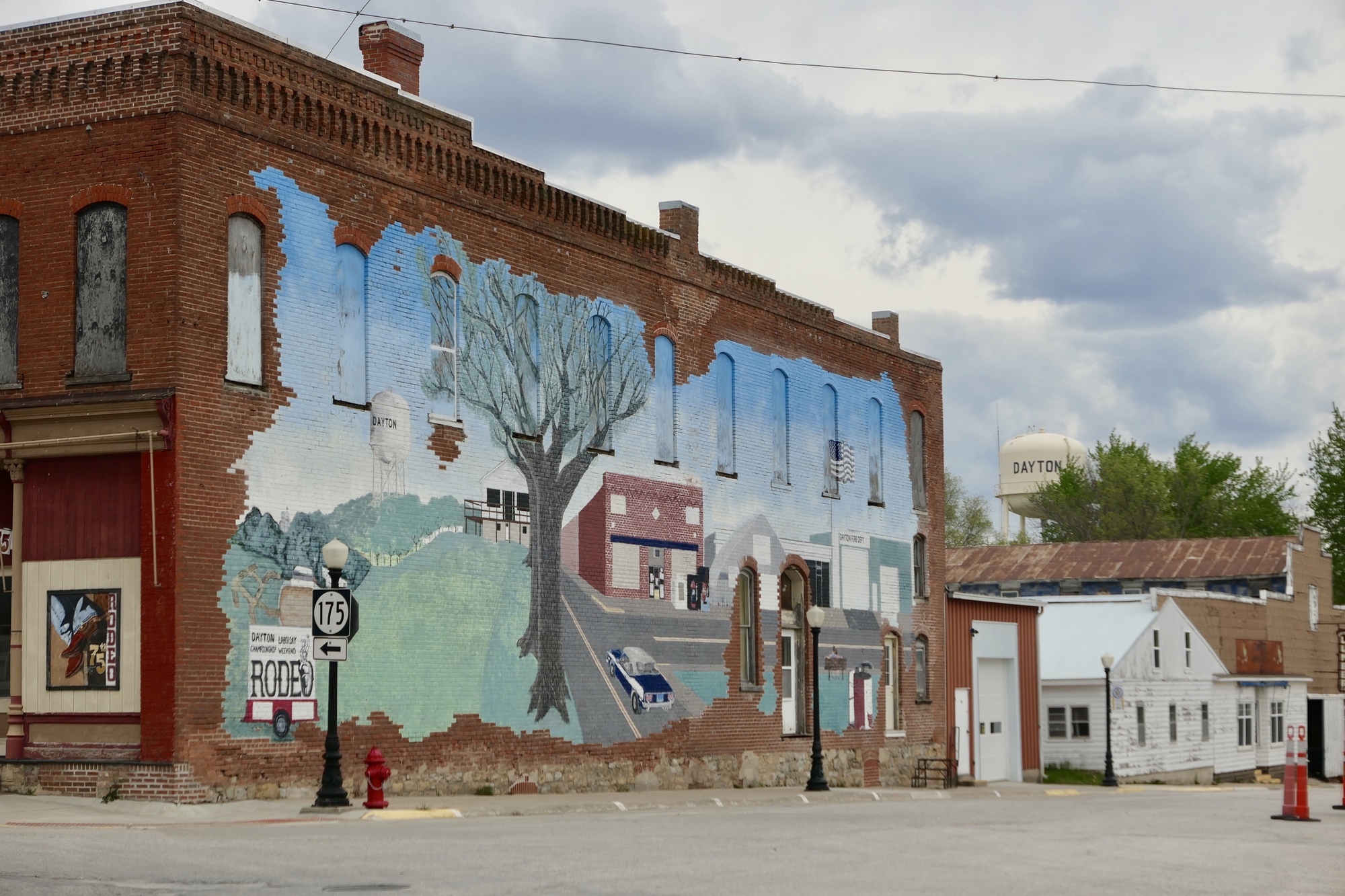
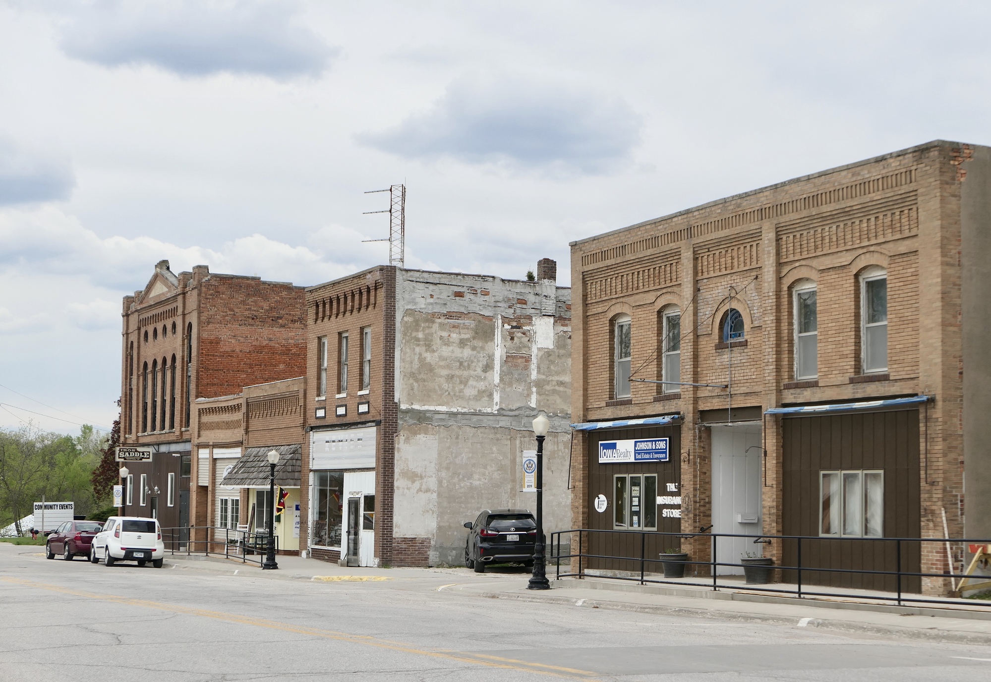
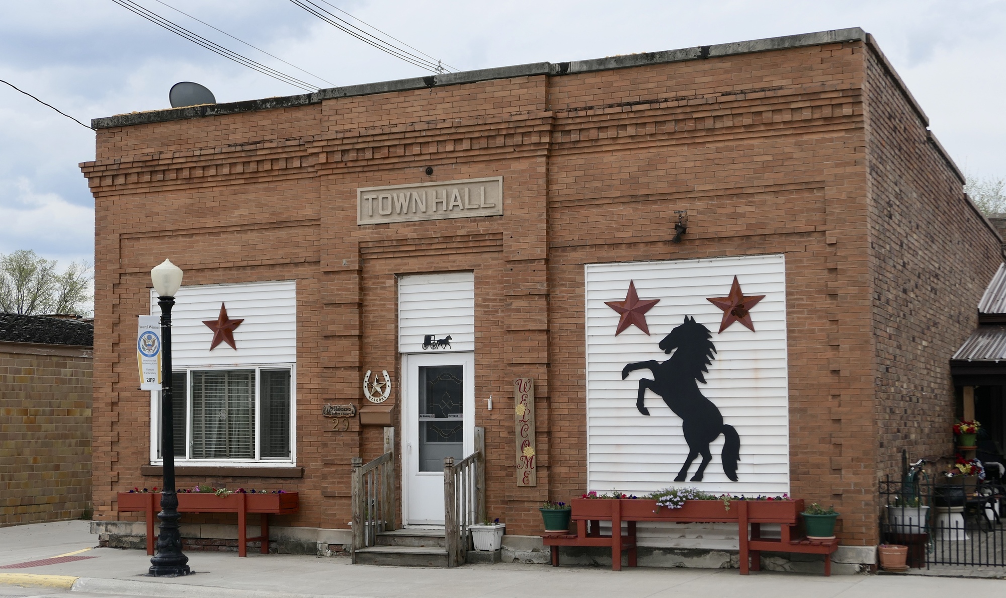
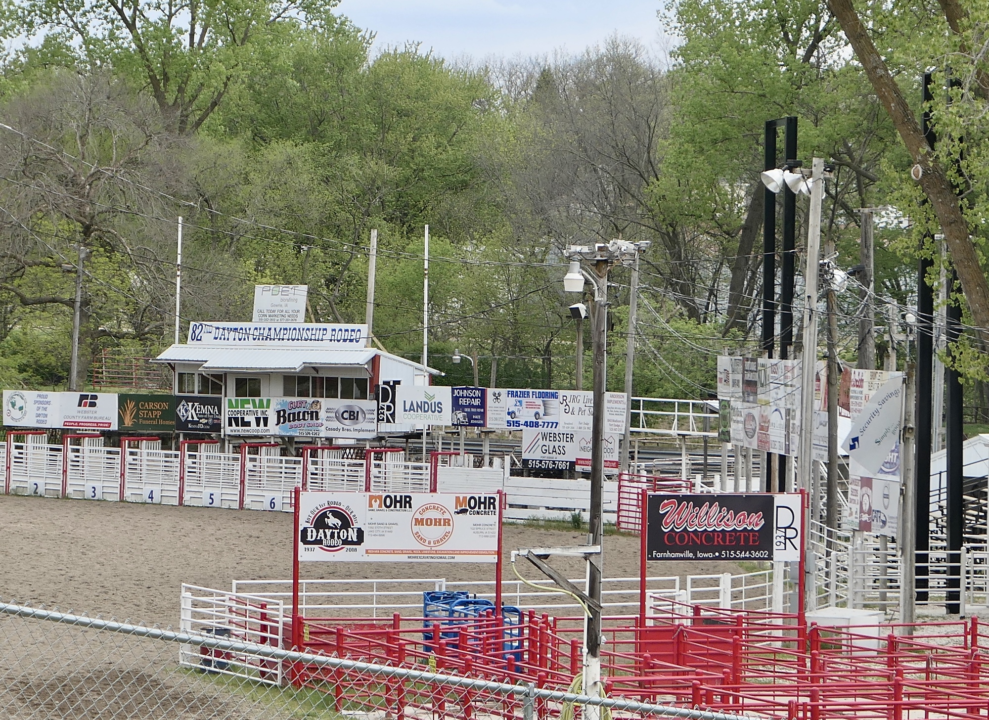
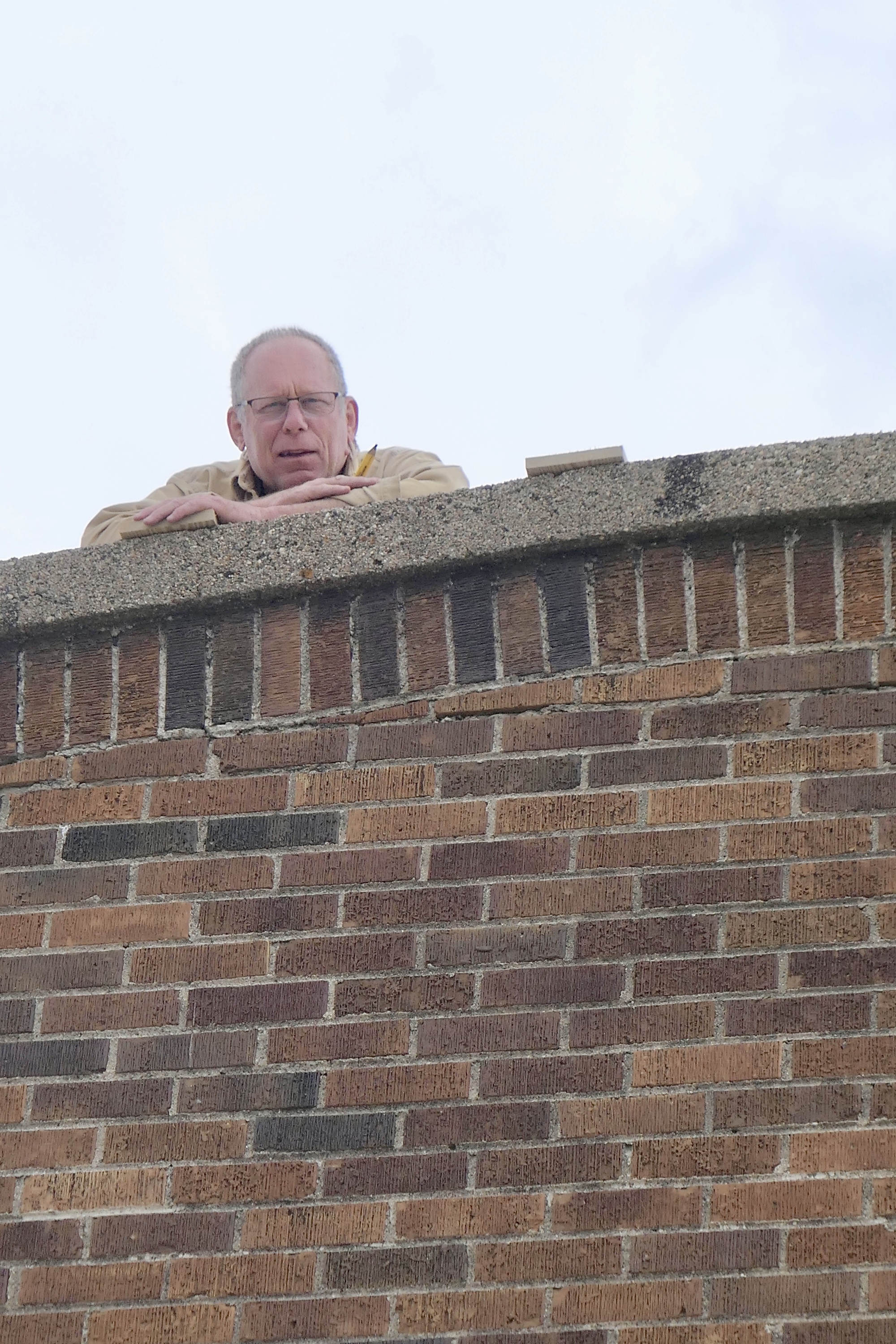
County highway D54 travels north from Stratford and makes one large sweep to the west as it crosses the Des Moines River, then a second sweep to the north on the climb up. The grades are more gradual than Twister Hill and the traffic was light, making for a carefree river crossing. Another zig-zag to the west and north was followed by a straight line to the west, past farm fields and homesteads. After five miles, I turned south on P73 toward Dayton, another of the memorable towns from my 2012 century ride. I stopped at the local grocery for chocolate milk and water, then wandered around the town a bit. Across from the grocery is a large mural depicting some of the town’s points of pride – the water tower, fire station, and rodeo. The Dayton Rodeo, a nationally sanctioned event, was started in 1937 and attracts more than 10,000 spectators over a Labor Day weekend celebration that includes a large flea market and parade. While exploring town, I struck up a conversation with Jeff, who was up on the roof of an abandoned downtown building. I never did figure out what he was doing up there, but we had a fairly extensive chat about Covid, science, and religion – all in the spirit of Iowa Nice.

| Heart | 0 | Comment | 0 | Link |
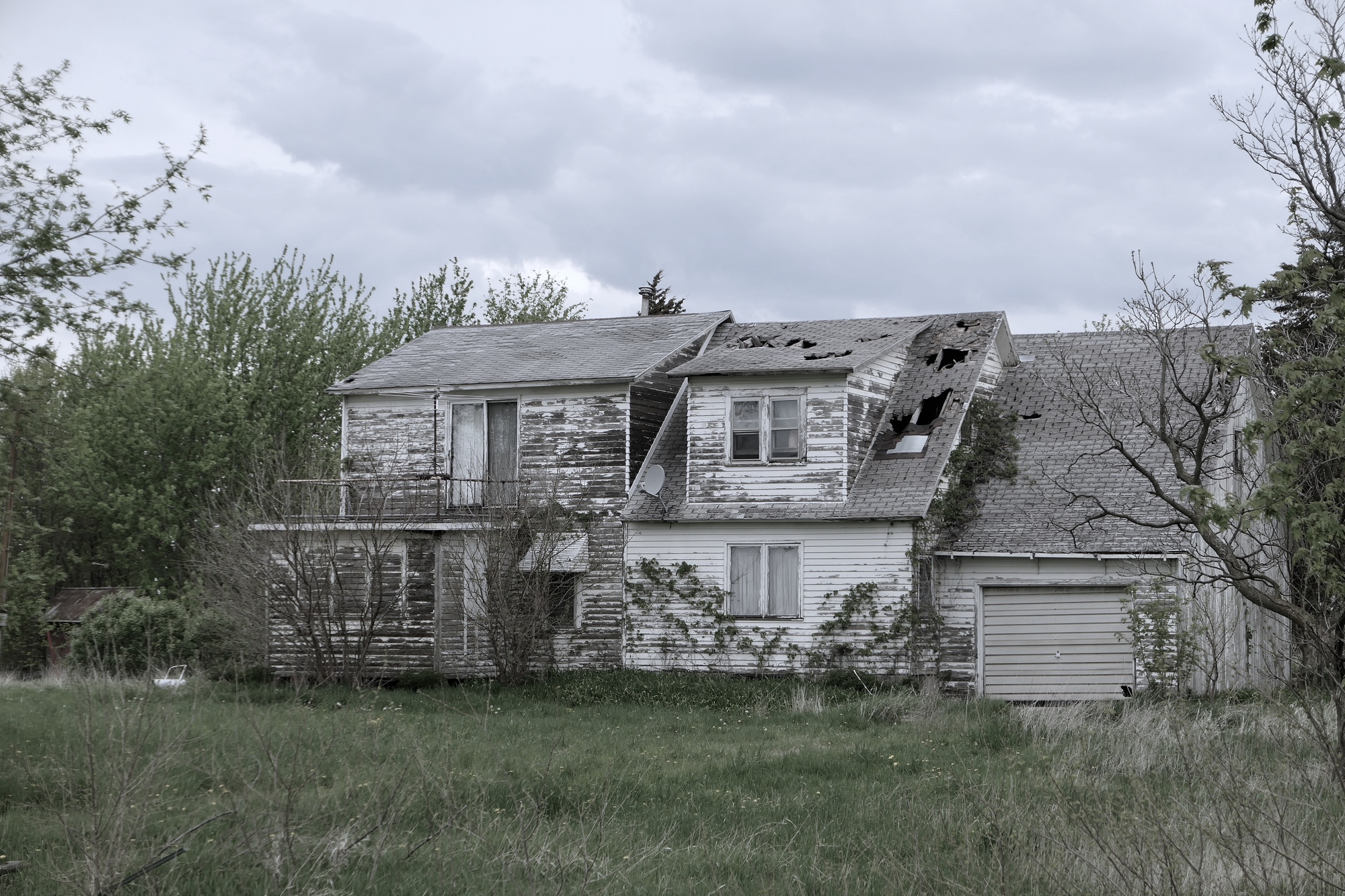
I headed south from Dayton, past the rodeo grounds, and deviated from my planned onto a small paved road that was heading in my direction. I wasn’t sure how long the pavement would last, but was hoping it would take me as far south as E18, the east west road I’d taken this morning. Sure enough, the pavement ended – but sooner rather than later. I turned east onto a dirt-packed gravel road that disappeared into grove of distant trees. Fields stretched out in all directions, and the only sign of human habitation was an abandoned farmstead almost two miles down the road. I had a nice little tailwind and was soon back on P70, heading for the Don Williams Recreation Area. It had been another excellent day on the bike - a day of new experiences, old memories, and conquering hills.
Today's ride: 44 miles (71 km)
Total: 477 miles (768 km)
| Rate this entry's writing | Heart | 4 |
| Comment on this entry | Comment | 0 |