June 12, 2023
Day 13: Signal Mountain to Jackson
Today I want to get an early start so I can hopefully arrive in Jackson before the afternoon rain. I got up before 7 and went to the restaurant soon after it opened at 7. I still didn't get on the road until 8:30. The view was a bit of a distraction.
I got up momentarily at 6 AM just to take a photo. Clouds were above the highest peaks.

The sky was partly sunny after breakfast. First blue sky I've seen in days. But it only lasted a few minutes. High clouds rapidly took over the blue sky and lower clouds steadily grew on the Tetons.

| Heart | 5 | Comment | 0 | Link |
It was mostly cloudy when I got on the road at 8:30. Back to Teton Park road, but now along the shore of Jackson lake. Teton Park road goes across the top of Jackson dam, then connects with US 191.

In 2004 I pedaled this road in both directions during my Yellowstone/Grand Teton bike tour. The lake level then was at least 20 feet lower.
Jackson dam was completed in 1916, raising the level of the natural glacial lake by 30 feet. After the catastrophic failure of Teton dam in 1976, existing dams were analyzed for potential defects. Jackson dam was identified as having a high risk of catastrophic failure because it's located near an active earthquake fault. A 1989 seismic upgrade was intended to make the dam survive a magnitude 7.5 earthquake, but contemporary computer modeling casts doubt on that belief.

Jackson Lake is the highest that I see the Snake river. Elevation is about 6760 feet now. The Snake river flows freely for a few more miles north of Jackson lake. I went that way in 2004, past the Snake headwaters and into Yellowstone National Park.

The outlet of Jackson dam is the highest elevation that I see the Snake river flowing. Elevation is about 6720 feet. From here I follow the river downstream to Jackson.

Teton Park road connects to US 89 just north of the dam. This is my turnaround point. Now I go south on US 89 to return to Jackson.
US 89 is a busy highway. Fortunately it has a usable shoulder. It also has an enforced 55 mph speed limit to reduce wildlife collisions. I pedaled the highway south to Moose, where the bike trail begins.

| Heart | 1 | Comment | 0 | Link |
US 89 has almost continuous good views of the Grand Tetons. 80% of the road is in open sagebrush. About 20% climbs into groves of trees that obstruct the view.
The "sun" angle is good in the morning, but there wasn't much sun and the clouds were steadily building above the peaks.

| Heart | 1 | Comment | 0 | Link |
Today I saw a greater variety of flowers than I saw earlier in the tour. I have seen many flowers, but not much variety.


| Heart | 0 | Comment | 0 | Link |
I stopped at the famous Snake river overlook. The mountain view is good but the river view is mostly obstructed by tall trees. The trees were much smaller when Ansel Adams took his famous photo here in 1942.

The Tetons and the Snake River is one of Ansel Adams' most famous and acclaimed photos. I like it but it's not my favorite. I can think of many other Ansel Adams photos I like better, mostly images of the Sierra Nevada and the desert southwest.


| Heart | 2 | Comment | 1 | Link |
https://en.wikipedia.org/wiki/Balsamorhiza_sagittata
1 year ago
The temperature was in the low 60's for most of today's ride. Not bad. I had a faint north tailwind. It was pleasant for a bike ride, but I didn't take any long stops or detours because I want to beat the rain.


| Heart | 2 | Comment | 1 | Link |
https://www.inaturalist.org/taxa/166706/browse_photos?place_id=69099
1 year ago
The bike trail resumes just north of Moose, the park headquarters area. I followed the trail from Moose to Jackson. It was heavily used by cyclists and walkers.
The sky got gradually brighter as I descended towards Jackson. Looking to the south I could see peaks of the lower Tetons. But looking to the north, the tits were shrouded in clouds.

| Heart | 1 | Comment | 0 | Link |

| Heart | 0 | Comment | 0 | Link |
5 miles north of Jackson the trail crosses the Gros Ventre river which flows out of the Gros Ventre range to the east. The next 2 photos are the only pictures I took of the mountains to the east of Jackson Hole. They are the front of the Rocky mountains and are the continental divide, but aren't as tall and abrupt as the Tetons.


Coming in to Jackson I had views of the Snow King ski area. It doesn't have a huge vertical drop but the lifts are in downtown Jackson. It's the oldest ski area in Wyoming.

| Heart | 1 | Comment | 0 | Link |
The trail ends about a mile north of the downtown Jackson square. Traffic was pretty much gridlocked on US 89 in Jackson. Quite a shock after being on the bike trail.
I arrived at the town square at about 1:30. Not bad. I spent a few minutes looking around and taking photos, but didn't enjoy the crowds or the traffic. I was eager to find a place for lunch, but was even more eager to escape the crowds and traffic.

| Heart | 0 | Comment | 0 | Link |
Jackson is an appropriately western looking Wyoming mountain town. But it has been a resort town for more than 100 years. If I ever go back to Jackson I want to go during a time of day and time of year that it's less crowded.


Jackson Town Square is a 1-block park surrounded by busy roads. It has grass and trees, but the traffic is noisy. The middle of the park is a war memorial monument. From there, sidewalks radiate towards the 4 corners which are decorated with elk antler arches. The square reminds me of town plazas in Albuquerque, Santa Fe, and Taos, but with no Spanish influence.

| Heart | 0 | Comment | 0 | Link |
A tourist offered to take my photo at an elk antler arch. It's the only photo of me posing with the bike during the tour.

| Heart | 4 | Comment | 0 | Link |
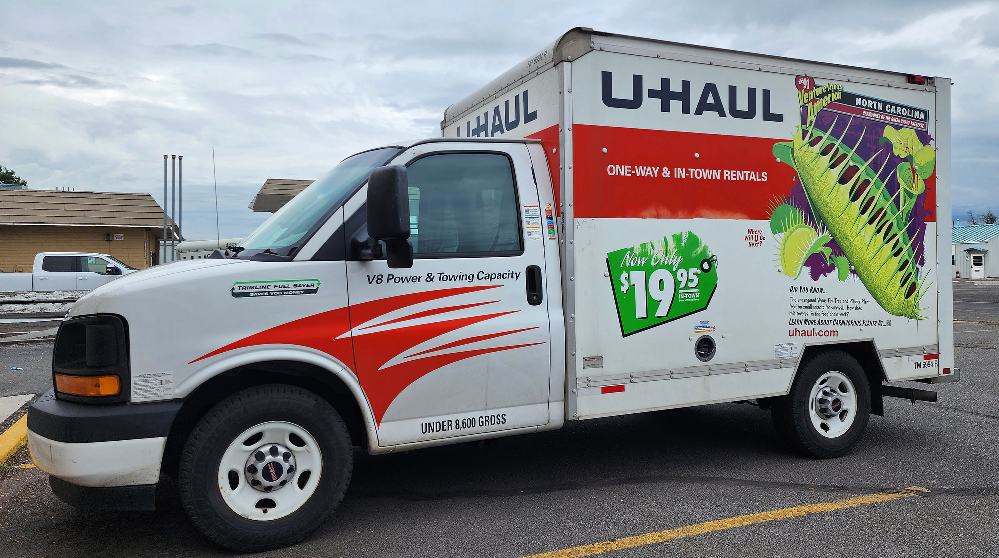
I decided to postpone lunch and continue 4 miles south on back streets to the U Haul dealer. Traffic was brisk, but not gridlocked. It turns out that the U Haul dealer is only a block away from the Super 8 I where stayed the night before last.
Picking up the reserved U Haul 10-foot box truck was fast and easy. I loaded the bike in back and started driving at 2 PM. I decided that parking the truck in and near Jackson would be difficult, so I got the hell outta Jackson. South on US 89 to US 26, backtracking on the route I pedaled. I stopped for an extremely late lunch at the gun fetish cafe in sleepy Alpine.
| Heart | 1 | Comment | 0 | Link |

I felt strong all day today. One explanation is that this is the only downstream day of the tour. Every other day of the tour was upstream. I have been feeling gradually better lately. I feel fully recovered from the fatigue I felt a week ago.
I did not get rained on while cycling but I encountered massive rain while driving between Idaho Falls and Pocatello on I-15. The speed limit was 80 mph but nobody went over 50 mph. It has been many years since I experienced such heavy rain. My region never has such heavy rain.
While driving through the rain I thought a lot about how I just biked through this area a week ago. I could have been cycling in the desert with 3 inch per hour rain and absolutely no shelter. Hopefully I will never get that unlucky.
I drove the box truck 234 miles to Burley, Idaho which is only 50 miles from where the tour started in Twin Falls. I got the last room at the Super 8 motel for $175. The room had a broken A/C and the outer pane of one big window was broken. Not a good value. 11 days ago I paid less to stay at the much nicer Hampton Inn with a nonrefundable reservation made months in advance.
Distance: 40.9 mi.
Average Speed: 11.0 mph
Ascent/Descent: +609/-1179 ft.
Today's ride: 41 miles (66 km)
Total: 488 miles (785 km)
| Rate this entry's writing | Heart | 5 |
| Comment on this entry | Comment | 0 |
1 year ago