January 9, 2020
In Death Valley: Dante’s View
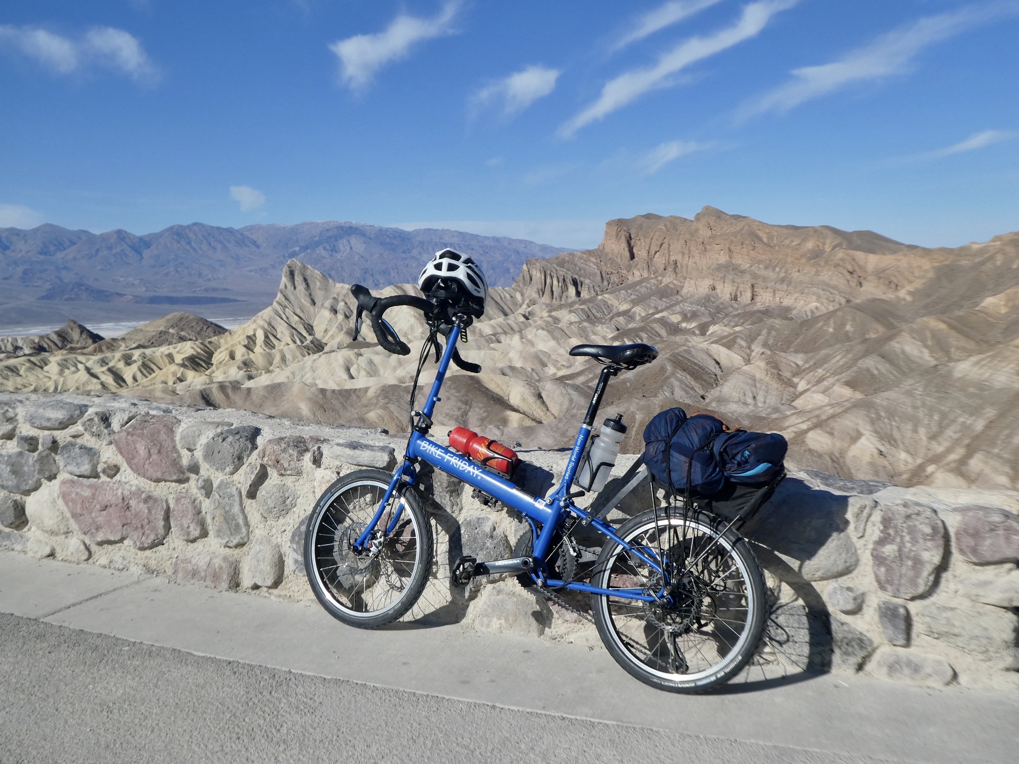
Today’s ride is a shortened version of one we rode the last time here: the climb from Furnace Creek to Dante’s View, one of the most famous viewpoints in the park. Sitting high on the east rim of the valley at over 5,000’ above the valley floor, it provides an enormous view over Death Valley and to the Panamint Range.
It’s a healthy ride, an out and back. The out is almost a pure climb of nearly 5,500 feet in 25 miles. Relentless, a moderate grade for most of the way but stiffening significantly at the end. The last five miles or so are signed as 15%, but I think that’s only true for the last half mile. Still, steep enough.
We’re not going that far today though, because the last six miles are closed for the season due to icy conditions. We’re not sure if that means closed to bikes also, so we don’t really know how far we’ll get. It depends on legs and winter conditions.
Before saying more, let’s get a quick preview:
Video sound track: Nighthawk, by Laurence Juber
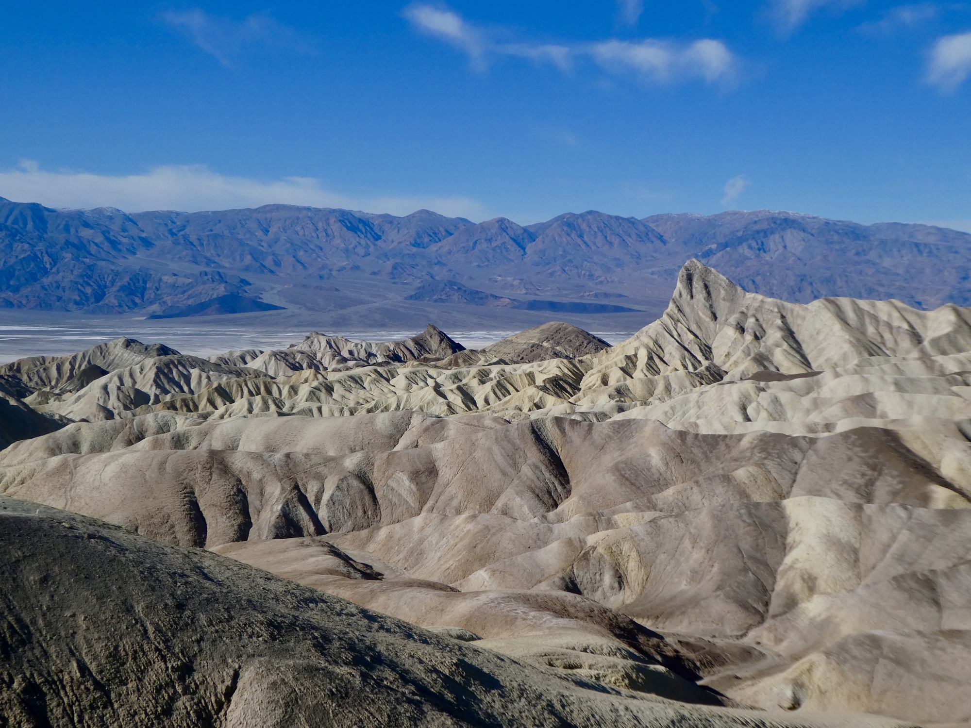
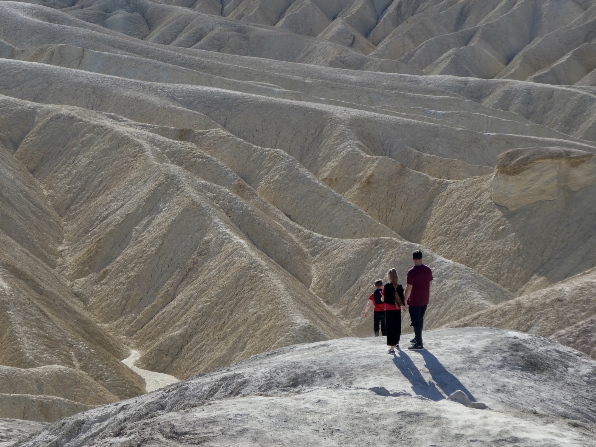
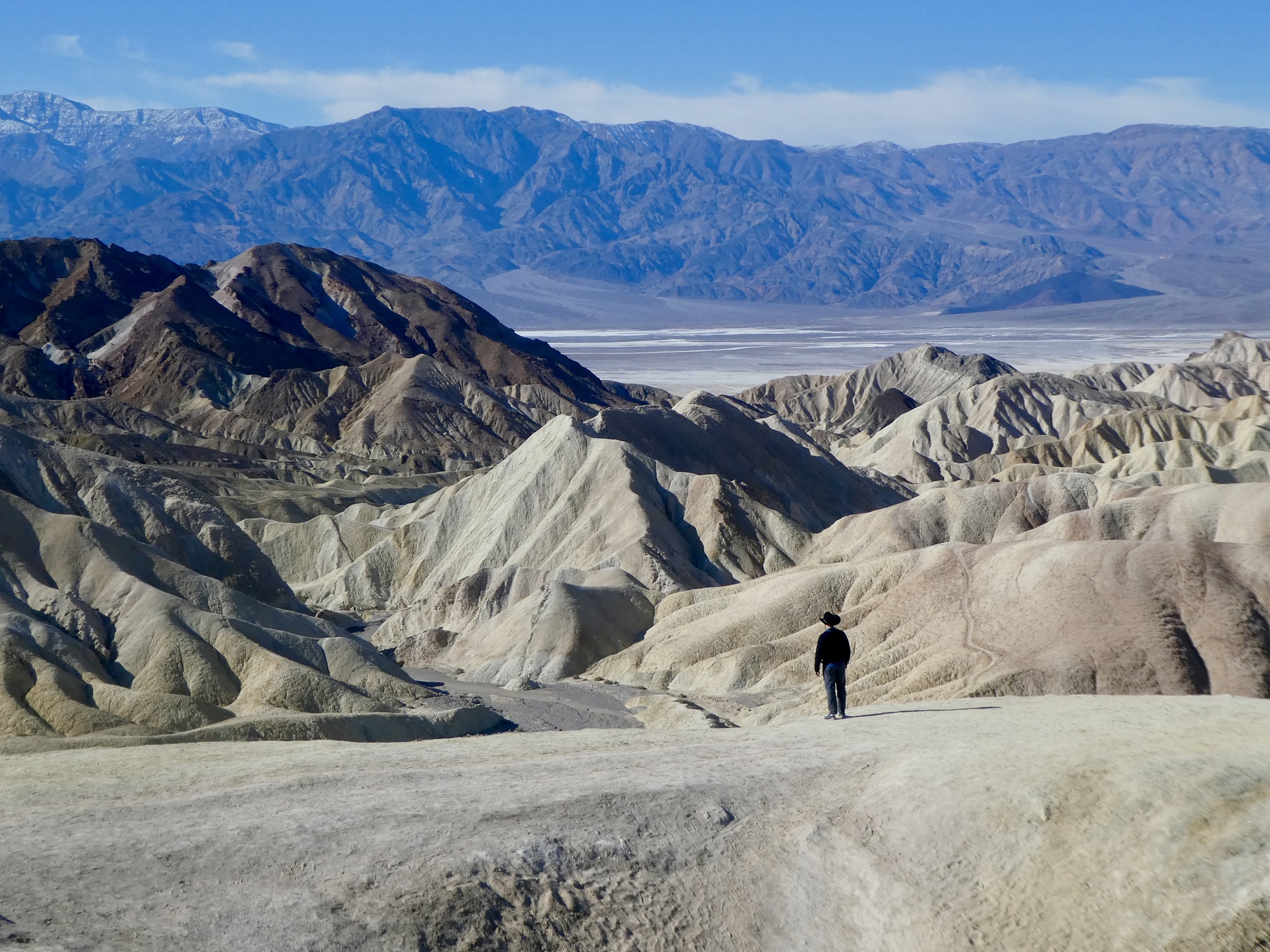
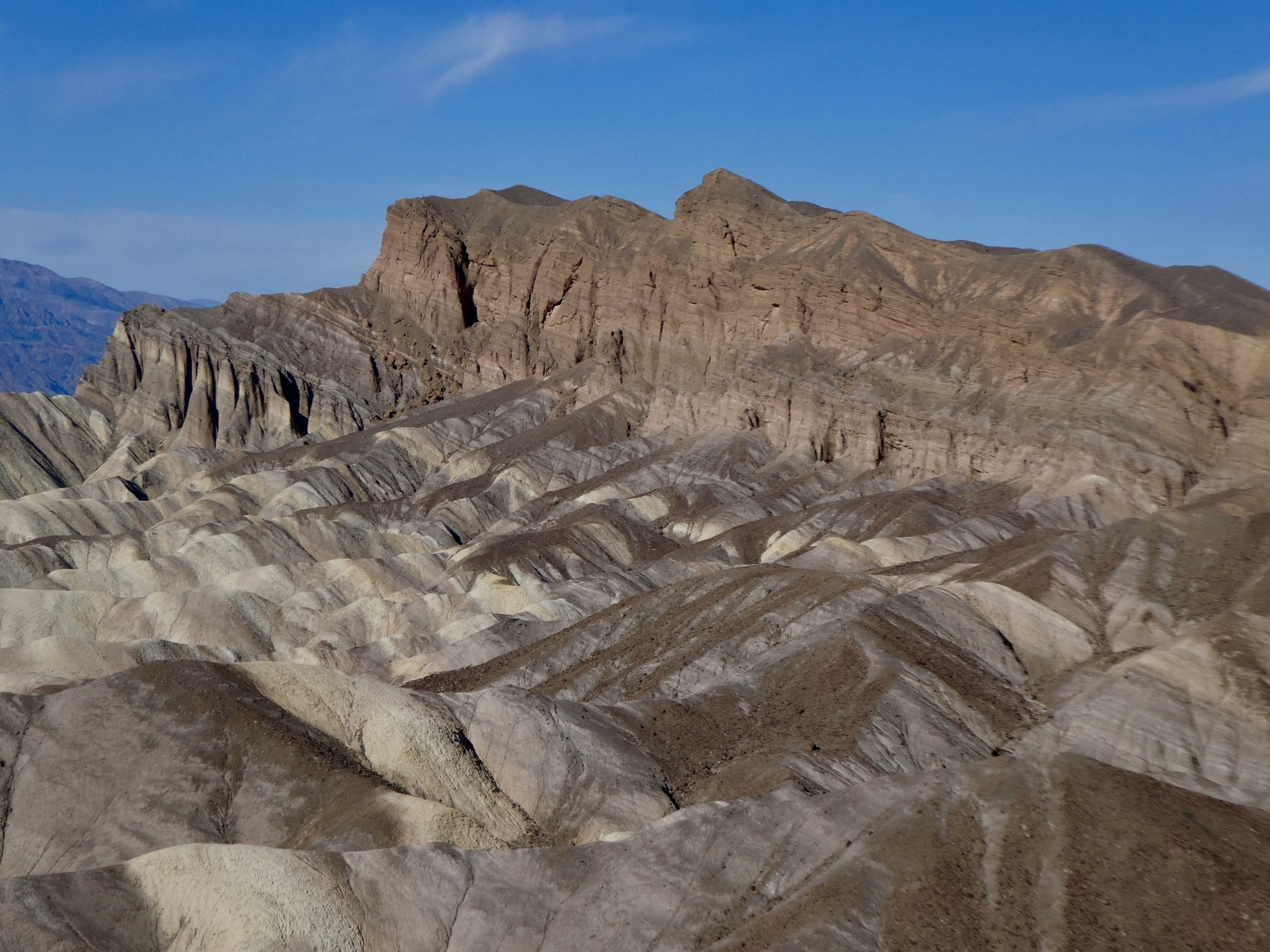
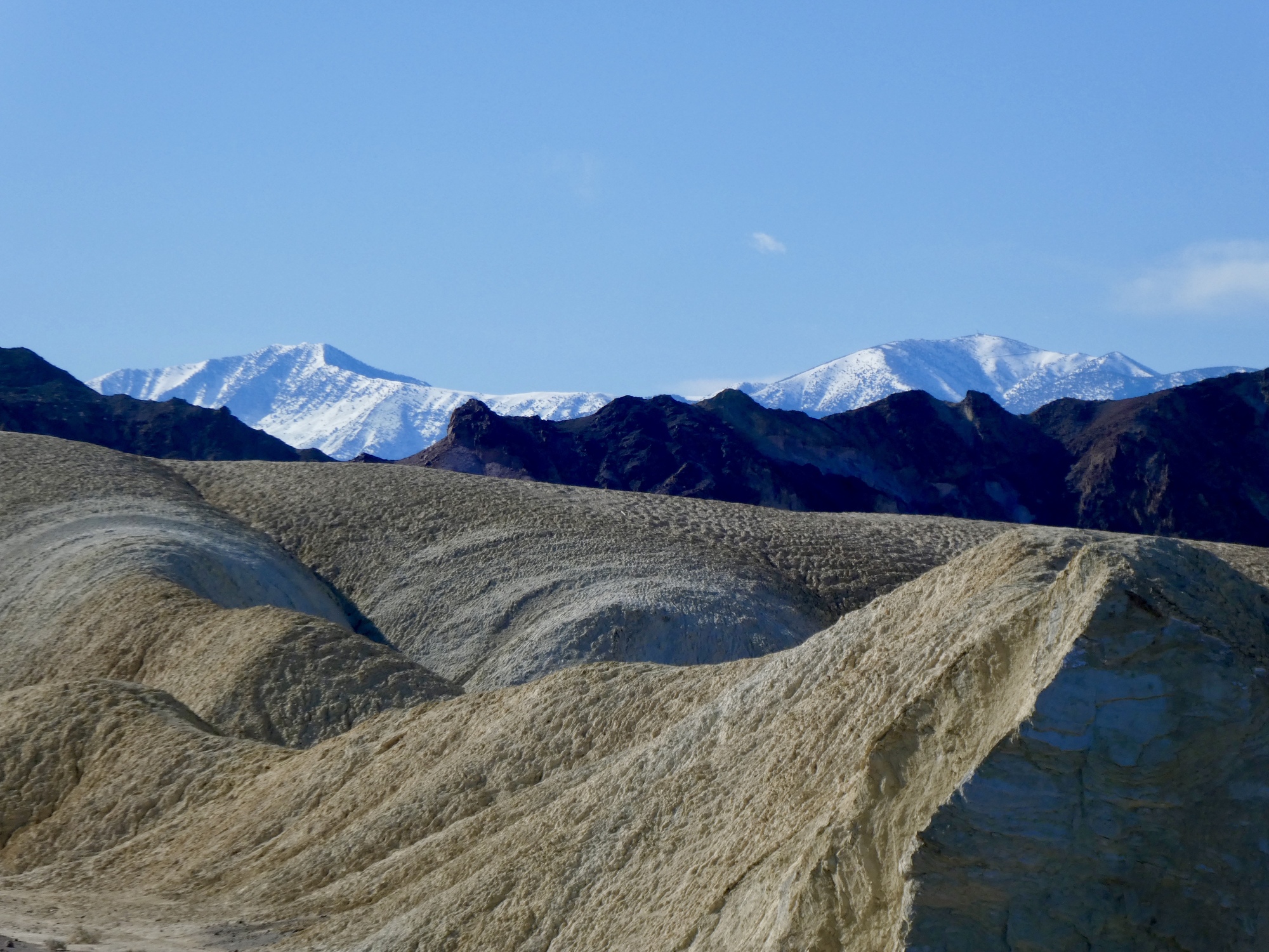
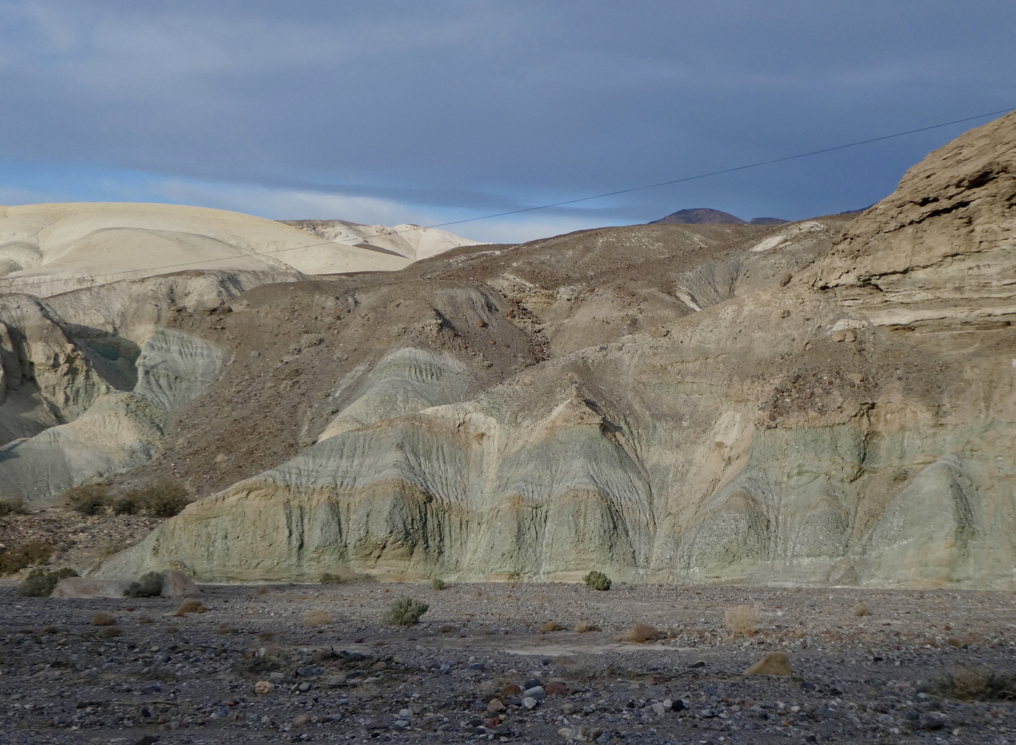
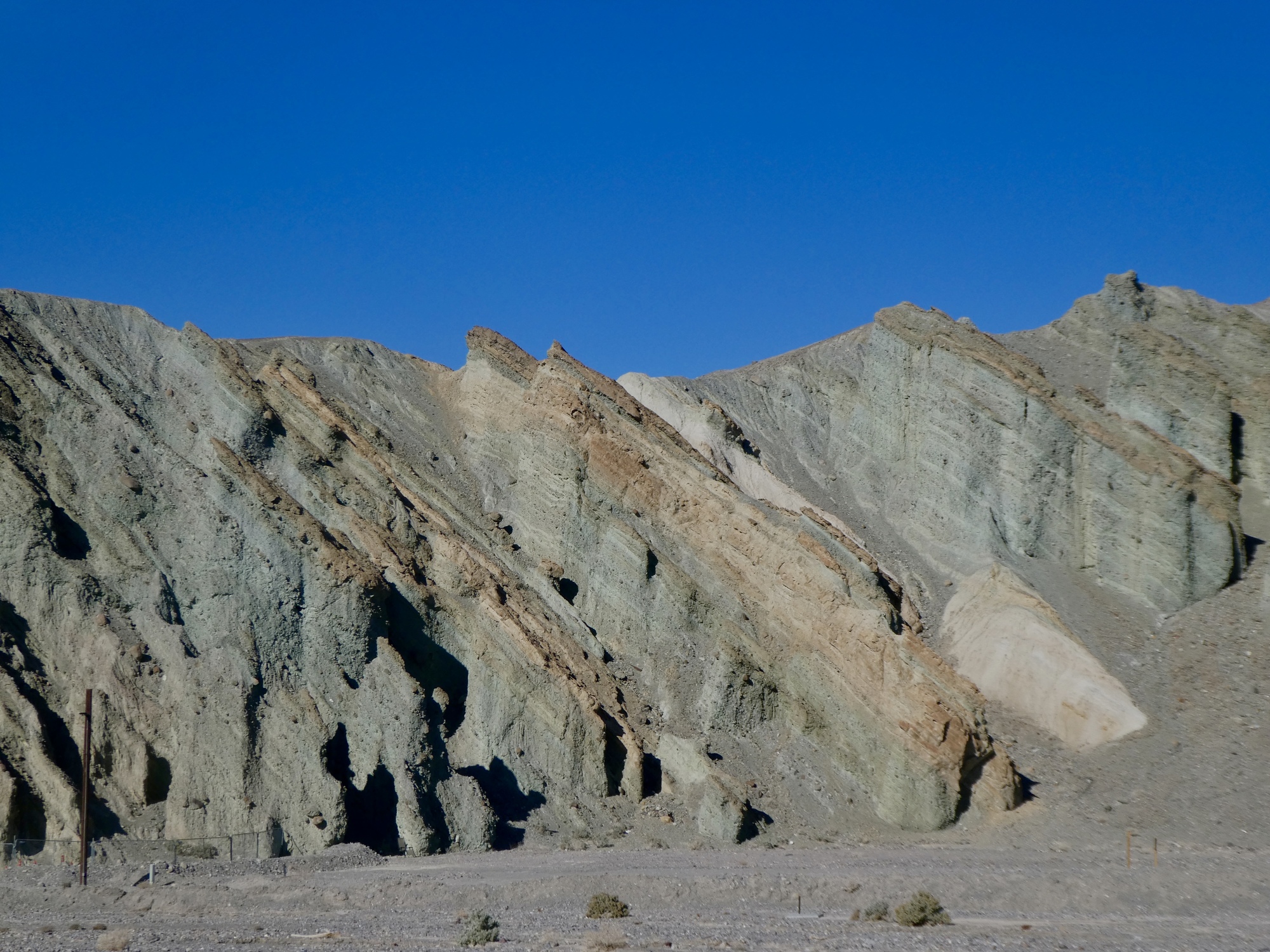
The climb starts with a short leg - a roughly 1,000’ climb in four miles up to another famous viewpoint in the park, Zabrieski Point. It’s a nice warmer-upper to an awe-inspiring spot, the beautiful badlands at the point backdropped by Badwater Basin and the Panamint Range.

| Heart | 1 | Comment | 0 | Link |
| Heart | 6 | Comment | 1 | Link |
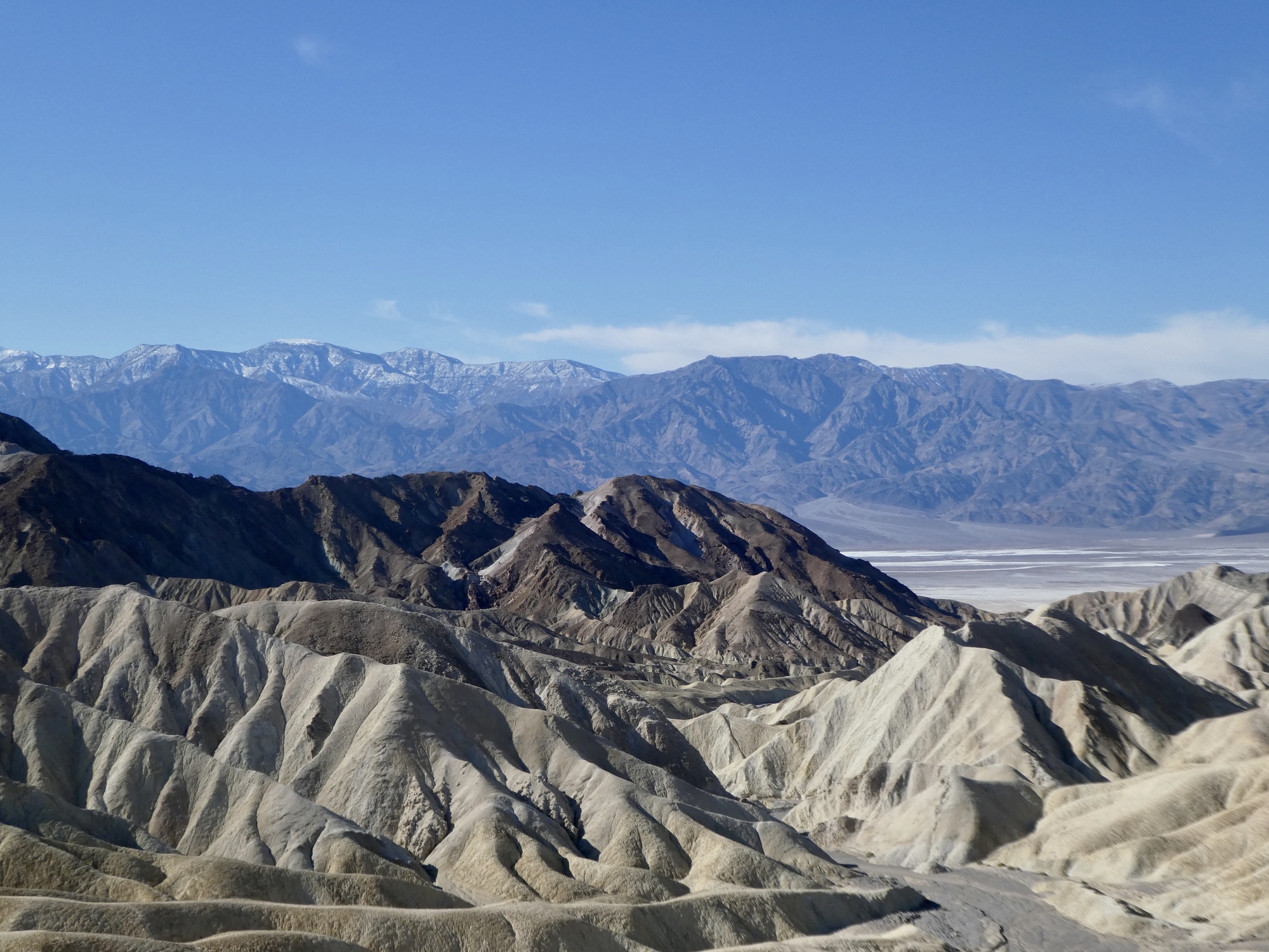
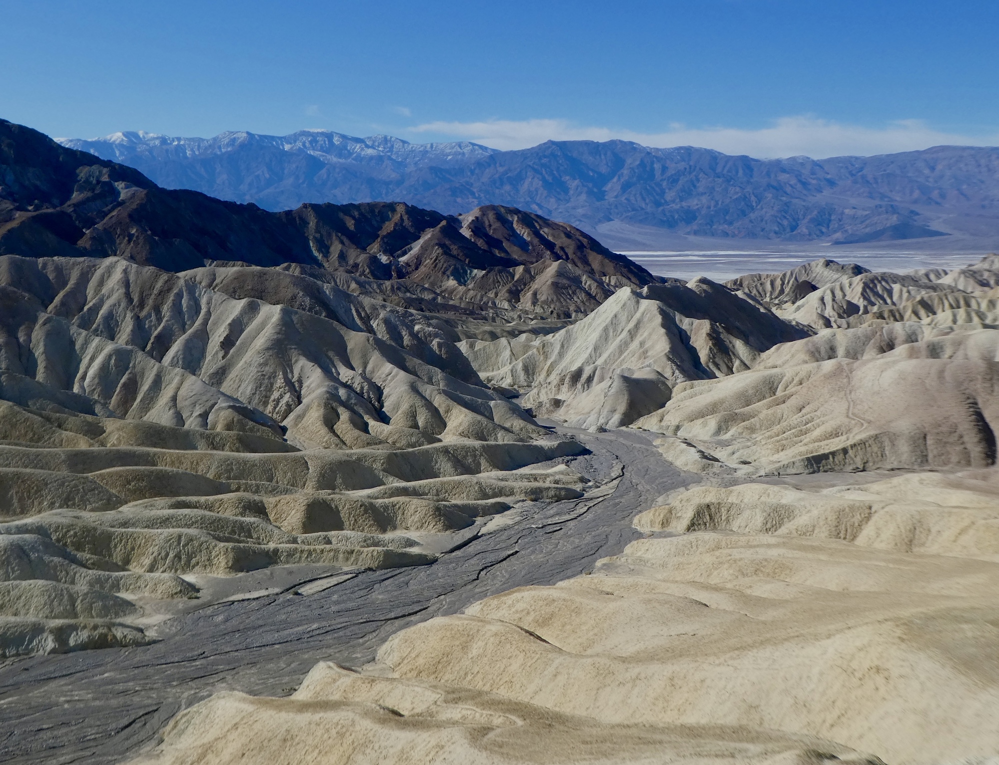
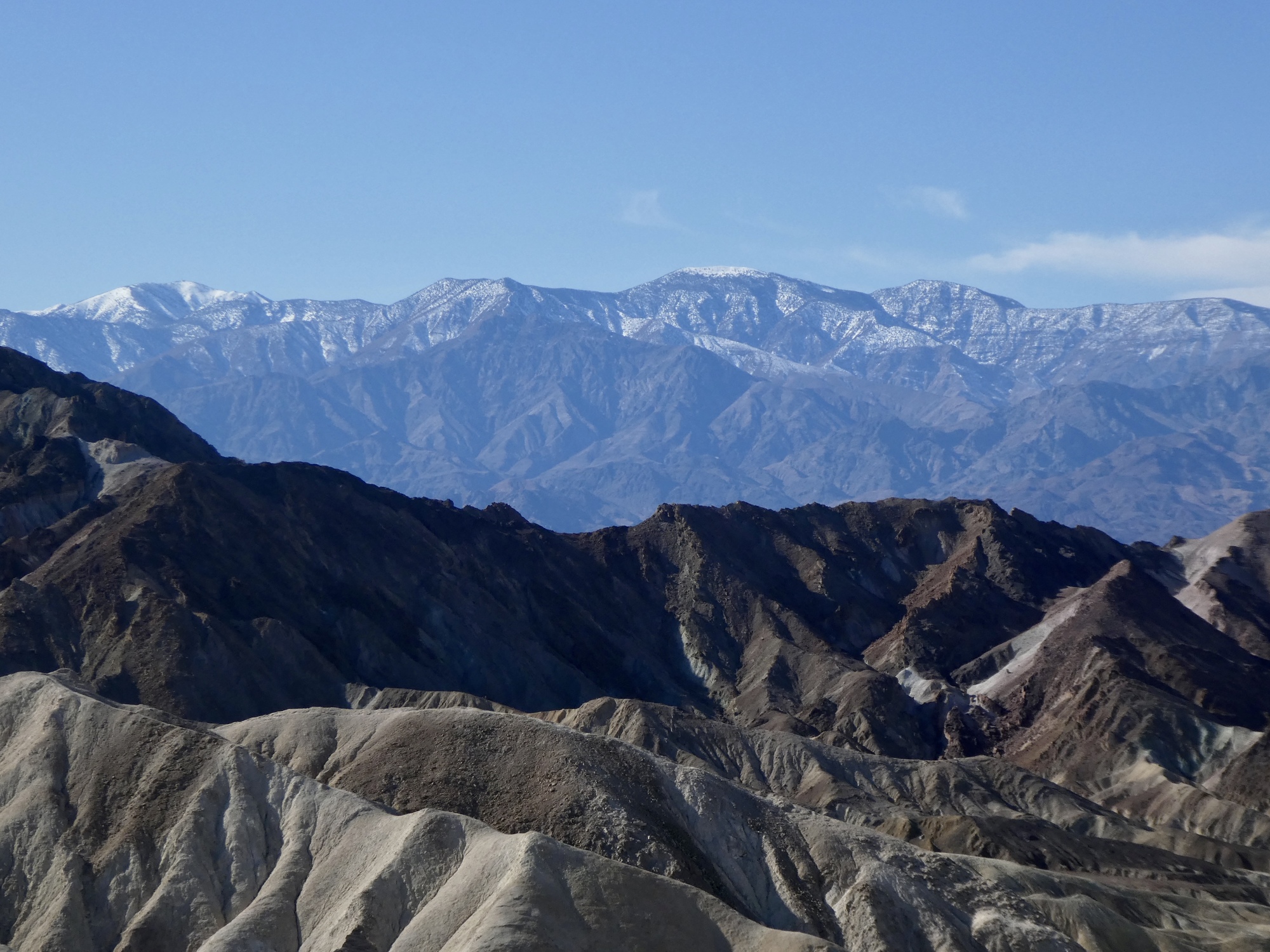
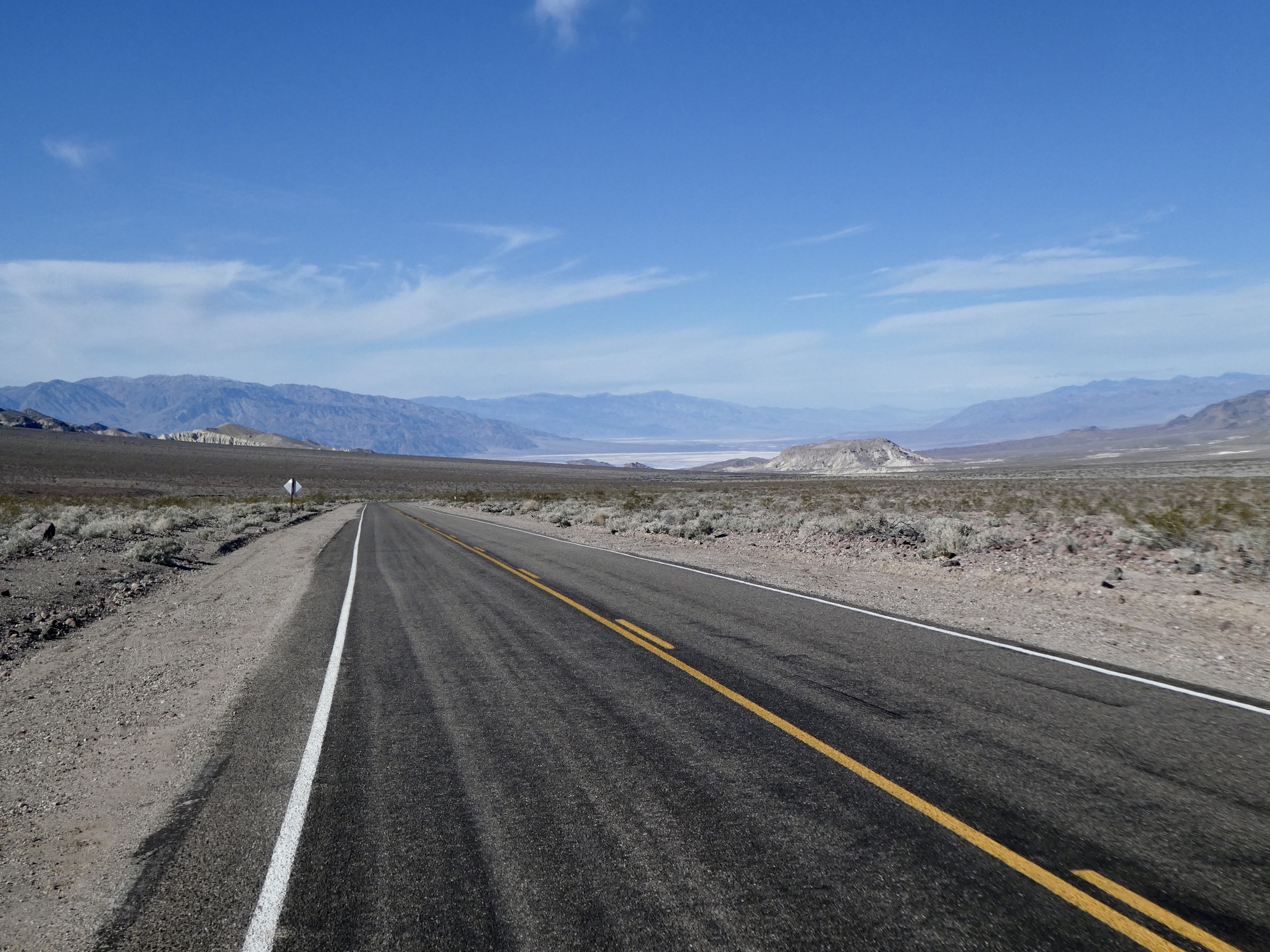
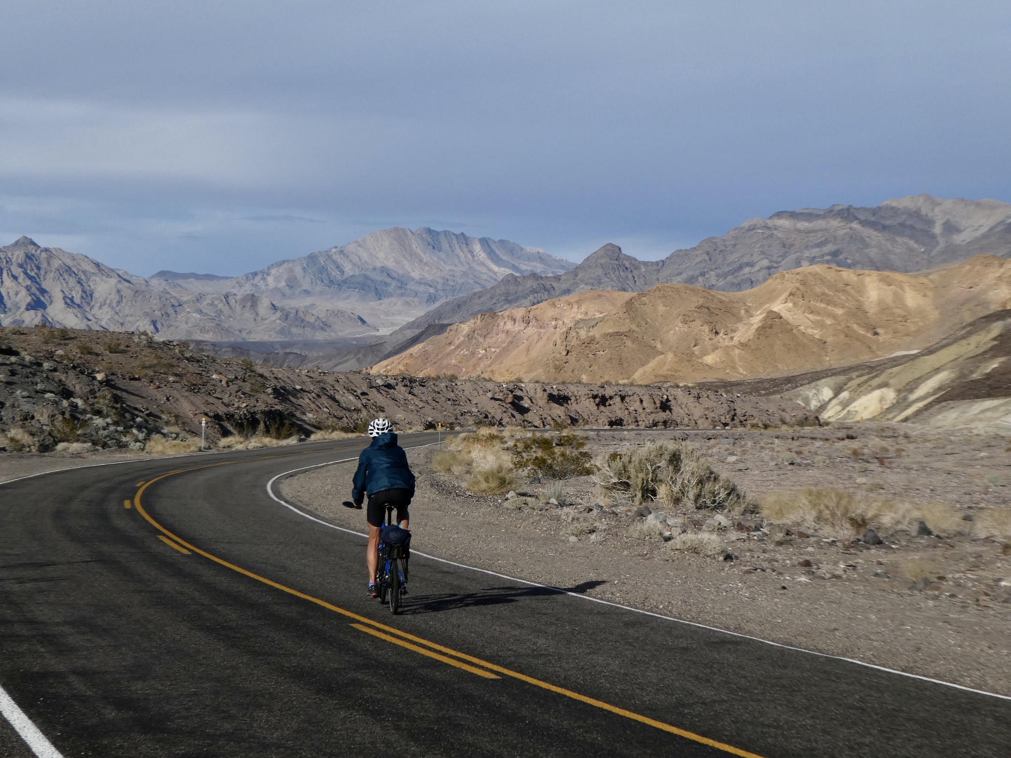
Finally tearing ourselves away from Zabrieski Point, we continue climbing southeast on Route 190. We follow it for about another seven miles, as it climbs up Furnace Creek Wash until we reach the turnoff for Dante’s View. 190, a narrow two lane road with minimal shoulder most of the way, is the main east-west road through the valley. Traffic is light today though, and not concerning. With a slight tail wind aiding us as well as an unbroken panorama of spectacular scenery to distract us, we don’t really notice the climb so much. Quite a pleasant climb, really.

| Heart | 3 | Comment | 0 | Link |

| Heart | 1 | Comment | 0 | Link |

| Heart | 2 | Comment | 0 | Link |
| Heart | 2 | Comment | 0 | Link |
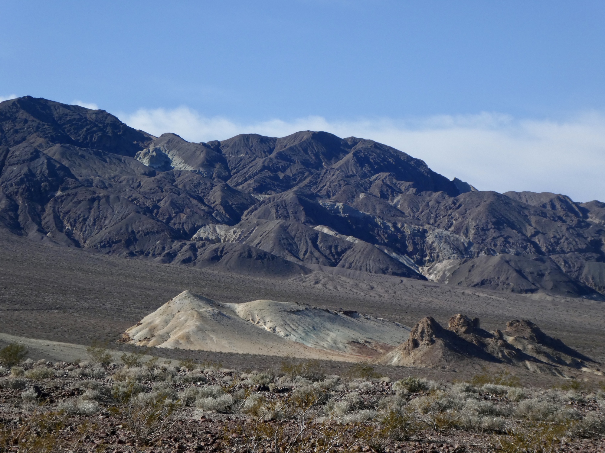
About 10 miles into the climb, we branch off from 190 onto Furnace Creek Wash Road and continue climbing up Furnace Creek Wash while 190 bends east toward Death Valley junction. This paved road dead ends at Dante’s view, another 15 miles out and 3,000 feet up. With the road closed six miles from its end, there is virtually no traffic sharing it with us today. It’s not much of an exaggeration to say that we’ll see more bicycles than cars on this road.
We continue climbing. It’s getting high enough up now that it’s chilling down a bit, but between the exertion and the tailwind we don’t really notice the cold much. I’m biking with just my unzipped jersey, and I’m even perspiring a bit. It’s hard to believe this, biking in the mountains in the dead of winter.
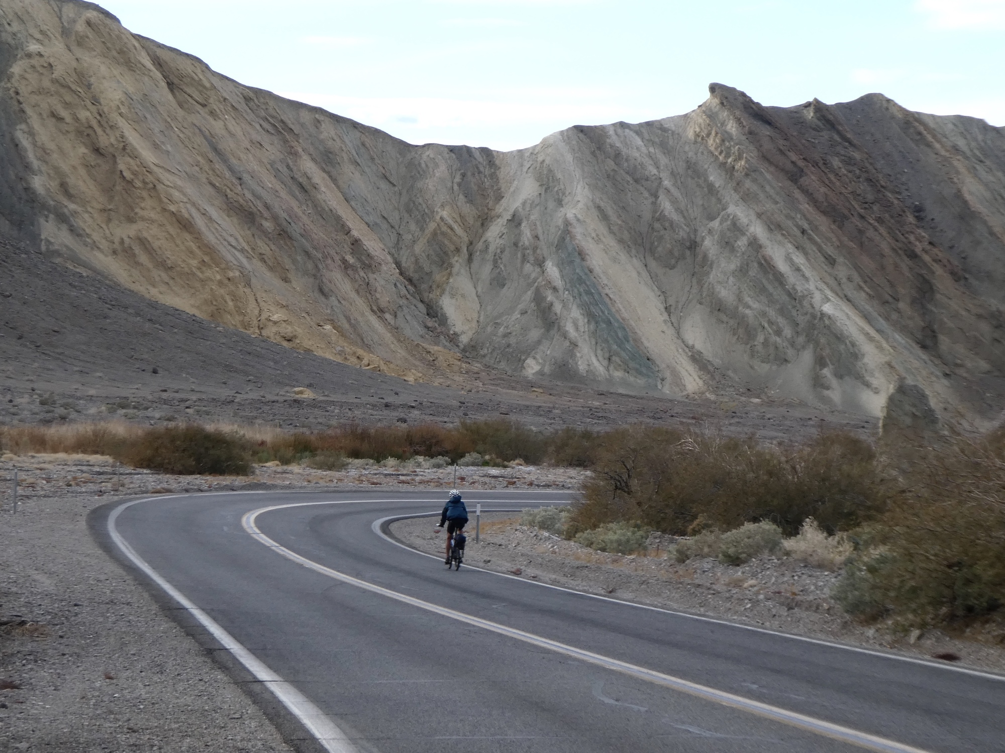
Seven miles on, and we come to another junction. Death Valley Wash Road continues on southeast up the wash but turns to gravel here, but the paved road, now named Dante’s View Road, is the one we want. It bends to the west and up out of the wash, and starts climbing more steeply. And it’s also barricaded, as we expected.
Rachael as usual has gotten ahead of me by now and since she’s not here obviously she must have skirted the barrier and kept climbing; so I follow suit. About three miles on, nearing 4,000’ elevation, I see her coming back at me. She hasn’t hit ice yet, but decided it was time to turn back because it’s getting too cold.

| Heart | 3 | Comment | 0 | Link |

| Heart | 3 | Comment | 0 | Link |

| Heart | 2 | Comment | 0 | Link |
The ride back down isn’t what either of us had been expecting. It’s not the fast, exhilarating coast back to Furnace Creek that we’d been looking forward to. In fact, it’s just a bit of a death march. The wind has picked up significantly in the last half hour, and is strong enough that we can’t really coast into it - we have to keep pedaling.
Which is fine. The big problem is the cold. I don’t know what the temperature is up here at 4,000’, but with the wind chill it feels borderline dangerous. We bike downhill for about five miles, dropping about 1,200’, and then find a more or less sheltered spot beside the road to hastily bolt down our lunches.
Then back on the bikes, pushing into the wind. Gradually as we bike I realize that I’m losing the battle with the elements and am starting to get hypothermic. I keep an eye on the altimeter, viewing each 100 feet we drop as a milestone accomplishment. I’d been hoping that when we lost enough elevation the sun would start warming me up, but in fact it’s starting to cloud over and the sky is looking just a bit menacing.
By the time we make it back to the car, I’m in a bit of a state - the coldest I can recall being in years, really. Rachael is doing pretty well by comparison, which is good but very unusual - she’s the one who’s prone to hypothermia.
It’s a long drive back to Stovepipe Wells, and just a bit grim. I can’t really talk too well, or hear either because my ears are plugged up. I hop into the shower as soon as we arrive, Rachael brews a cup of tea for me, and I bury myself under the covers and watch the appalling news as soon as I get out. It’s probably fifteen minutes before I start feeling myself again.
But, we’re fine now. Just another memorable adventure, and a reminder to be respectful of the elements.
And, this is probably the last you’ll hear from us until we leave Death Valley. We aren’t likely to have WiFi access again until we move on to Boulder City Monday. See you then.

| Heart | 1 | Comment | 0 | Link |

| Heart | 2 | Comment | 2 | Link |

| Heart | 3 | Comment | 0 | Link |
| Heart | 5 | Comment | 0 | Link |

| Heart | 4 | Comment | 0 | Link |

| Heart | 2 | Comment | 0 | Link |

| Heart | 1 | Comment | 0 | Link |
| Heart | 0 | Comment | 8 | Link |
Steve & Ann here with a question about Ride with GPS. We have followed your adventures over the past years and have been inspired by the descriptions, photos and maps that make your trips come alive. Having just turned 60, we are now planning our first big tour - Italy, Croatia, Bosnia, Slovenia over 3 months- and so will be needing a more elaborate mapping system to set up, find and follow routes. I see you use Ride with GPS. Do you recommend the Premium version? Any suggestions on using the App would be most appreciated. You can email me at [email protected]
Thanks
6 years ago
We can’t recommend the Premium version of RideWithGPS, because we’ve never used it! We only have a basic subscription, and haven’t even had that until fairly recently. For several years we just used the free version, until Rachael decided we needed offline maps.
We’re not very good references on this though, because we aren’t very sophisticated users and don’t use many features. Until recently we pretty much just used it for drawing routes that we downloaded to our Garmins, so we don’t really use its navigation features at all.
6 years ago
6 years ago
I'll try to encourage Ron to avoid blurting out "Boobs!" when we're out and about in town.
6 years ago
Thanks for your prompt reply. Your real-user answers provide a good balance to the Ride with GPS website info-jargon. We will probably start with a basic subscription and figure it out as we go along. We also plan to set up a blog and will be sure to let you know our CycleBlaze name once we get started in mid-April.
6 years ago
6 years ago
I won't stoop to this level. Maintaining my integrity.
Yep, staying the course.
Not gonna do it.
Aaahh, the hell with it.
BOOBS!!!
6 years ago
Ride stats today: 46 miles, 4,100’; for the tour: 809 miles, 39,300’
Today's ride: 46 miles (74 km)
Total: 809 miles (1,302 km)
| Rate this entry's writing | Heart | 10 |
| Comment on this entry | Comment | 4 |
6 years ago