September 4, 2021
Day 1 - Morton to Lewistown
| Heart | 0 | Comment | 0 | Link |
I headed off on another bicycle trip Labor Day weekend. This time with planned overnight camping near Lewistown and at Jubilee College State Park. As the weekend got close, the weather forecast promised beautiful days for Sunday and Monday. The problem was Saturday, with a chance for rain, but ending in the morning. I didn't see rain on the weather radar as I packed, so headed off at 7:10am for breakfast first at Miss Vickie's Cafe.

Walking out after breakfast I met a fellow I recognized as being a friend of our neighbors. We talked for a while before I took off sometime before 8:00am. (It took six blocks riding before my GPS locked in, so that's why there's a straight line at the start of the map.) I was hoping this was early enough to get me to Webb's Valley View Campground east of Lewistown before dark. I planned to cross the Illinois River at Havana, and to "hug" the river as much as was reasonable on my way to there. But first, get past Pekin. Following South Fourth Street and Allentown Road would get me most of the way to the newly rerouted Route 9, which mostly bypasses Pekin.
My first break was along Allentown Road just past Dillon Creek at Pleasant Grove Mennonite Cemetery. I parked under a big tree at the entrance. This brings me to a story: We had the two old Siberian elm trees in our front yard removed this spring, and we've been considering replacement with just one tree. There's a nice looking tree outside the window where I work, and I found out from a member of the building's tree selection committee that it's a shingle oak. Maybe we'll go with that. Or maybe not . . . when I looked up from where I'd parked the bike I recognized I was beneath a shingle oak. I didn't realize they could get so big!

At 9:20am I took Tazewell County CR-1850E south to get to Route 9. With the widening of VFW Road complete, the state has rerouted Route 9 to follow this new pavement on the south side of Pekin. And it has a great shoulder, I'd found out on a trip to Astoria (driving) a few months before.

| Heart | 0 | Comment | 0 | Link |
I turned left off of IL-9 onto Fifth Street when I got there to avoid riding on IL-29.

| Heart | 0 | Comment | 0 | Link |
I turned right on Chester L Road, and stopped for a break at the Union Pacific track crossing. Half a mile later was a pleasant gravel road.

When I turned south onto Wagonseller Road, vintage planes taking off from Pekin Municipal Airport were flying past me ahead. I turned west when I got to Townline Road to get over the Mackinaw River.

At 11:44am I turned south onto Spring Garden Road. Just before I reached Spring Lake Road, I stopped for a break (at 11:56am). I needed lunch, but the place I planned to eat at was still a ways away. I settled for a Quaker "Chewy" crunch bar, Frito Lay "Munchies" peanuts, and a Gatorade I had with me. I was in a sandy soil area now, and noticed prickly pear cactus plants in the ditch, which told me to keep the bike on the road. At 12:24pm, with my break over, I turned right toward Spring Lake State Fish and Wildlife Area. Noon mileage report: 28.2 miles.

| Heart | 0 | Comment | 0 | Link |
At 12:57pm I headed down the hill with the left curve at the bottom to Spring Lake. I made it without running off the road and then followed the road to the levee that divides Spring Lake in half. Everything looks the same as I remembered from my childhood fishing and camping here with my family and the Boy Scouts.

| Heart | 0 | Comment | 0 | Link |

At 1:16pm I turned onto State Park Road which put the south lake to my left and a ditch to my right. There is a parallel road (dirt) on the other side of the ditch, and I'd thought about using that instead. My dad drove me along that dirt road once, when I'd asked why that road was there so close to this road. This paved park road is definitely more scenic, but has a lower speed limit.


At 1:38pm I met up with Woodley Road - the dirt road on the other side of the ditch. The end of Woodley Road has a steep hill going up out of the lower land.

| Heart | 0 | Comment | 0 | Link |
Heading south brought me into Mason County on Durang Hill Road. I was back in open farmland at 2:00pm, on my way to Goofy Ridge. It sprinkled just a bit on me on my way there. Goofy Ridge was known as a dangerous place when I was a kid, but it's different now. I arrived at the Hialeah Club in town for lunch there at 2:31pm. The place is great, and so was my lunch! I enjoyed conversations with the few patrons, my waitress, and the owner. They wished me a safe trip as I left at 3:25pm.

I got on Mason County CR-2090E across the road from the Hialeah Club, and was surprised to see an "Illinois River Road" sign on what I considered a back road. When I turned onto North Buzzville Road I was even more surprised as I passed a nature trail through the woods next to a sign showing the trail as part of the Chautauqua National Wildlife Refuge, with oversight by the US Fish and Wildlife Service. I never gave any thought that the Chautauqua Lake area is federal land. Later I came to a parking area with a road down to the lake. I left the bike on the road and walked down to see.

At 4:07pm I met up with Manito Road and signs showing the road was closed 500 feet to the west. I checked my map. The shortest detour would be 4.5 miles! I was pretty sure bridge work over Quiver Creek was why the road was closed. I proceeded past the barricades to see if there might be a chance that a bicycle could get through. I lucked out, since the old bridge was still standing! And even if it wasn't, there was a boat I could use ;-)

| Heart | 0 | Comment | 0 | Link |
| Heart | 0 | Comment | 0 | Link |
Needless to say, I was happy to be across. A turn west at Mason County CR-1950N got me to Quiver Beach Road heading southwest at 4:43pm. That brought me back to Manito Road, which curved south into Havana. No need for a lot of sightseeing since I'd been here before, but I did pass some sites on my way to Peaches, an ice cream place.


I ordered a medium root beer float at Peaches when I arrived there at 5:36pm, but received a large sized one. I sat facing west under the awning as I ate, which allowed me to see US-136 traffic heading toward the bridge. Not too many trucks at this time of day.


| Heart | 0 | Comment | 0 | Link |

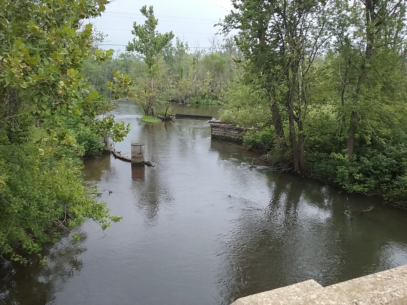
I made it across the bridge OK, and stopped a little ways down the road at a pull-off. Not much farther and I'd be off this shouldered highway and on IL-78/IL-97 heading north. I made that turn at 6:19pm. Shortly after, I crossed the Spoon River, and later the "Spoon River Overflow". Traffic wasn't too bad, but there were times I pulled off when both lanes were going to be occupied next to me. Lots of water all around, since I was next to Emiquon National Wildlife Refuge and later The Nature Conservancy's Emiquon Preserve.

| Heart | 0 | Comment | 0 | Link |
I was looking forward to my planned turn west on County Highway 9, which I made at 6:39pm. I was anxious to turn west because it looked like rain was coming to the north.

| Heart | 0 | Comment | 0 | Link |
It started raining just a little on me, and this "highway" would be curving north ahead onto Dickson Mounds Road where the clouds were darker. It was my hope that I'd make it to a shelter at the Dickson Mounds Museum grounds before I got too wet. I turned into the Museum's drive at 6:58pm, then found a gate closed across the road. So I took off walking on the grass toward East Waterford School back by the road, thinking the school's entrance might have an overhang. It doesn't. But the rain didn't amount to too much.


| Heart | 0 | Comment | 0 | Link |
When I got back on the road heading north, the pavement went from just wet to really wet and then eventually dry. My delay at Dickson Mounds/East Waterford School had saved me!
My turn leaving Dickson Mounds Road onto Bowers Lane and then Berry Road had me back on gravel for a few miles until I met up with US-24. A third of a mile east on the highway with my flashers on brought me to the entrance of the campground at 7:41pm.

The tree-shaded area inside the loop is for tent camping. There were several tent campers already set up, so I asked one of them the procedure for paying. He'd prepaid online, but said the owner was good about returning phone calls. That was true for me too; I received a call back shortly with instructions on where to deposit my $15 camping fee. As I set up near the east end of the loop, Josh, another nearby camper, came over to welcome me and offered to help with setting up my tent. He also wanted to know if the music he was playing was too loud. I told him it was a nice change from road traffic noise.
I turned in at 9:35pm, after enjoying the stars I could see in this dark location. I was even able to make out most of the ones in the Little Dipper.
62 miles for today. Moving average 8.0mph. Top speed was 27.4mph.
Spent: $10.68 plus $5 (breakfast) + $9.53 plus $5.47 (lunch) + $3.44 plus $1.56 (root beer float) + $15 (campsite fee) = $50.68.
Today's ride: 62 miles (100 km)
Total: 284 miles (457 km)
| Rate this entry's writing | Heart | 1 |
| Comment on this entry | Comment | 0 |