March 23, 2018
D48: Beitong Town to Wangsong Town
| Heart | 0 | Comment | 0 | Link |
I had absolutely no idea what I was talking about yesterday when I said "tomorrow is flattish again" or "mostly big roads" as it was mostly small roads and generally wasn't flat at all.
I was supposed to take the S326 to Longmen after which I would turn on to the S217 and ride down to Zhanghuang. There, I would avoid the horrors of the National Road and go east towards Anshi Town and then Shiyong. Depending on road quality, time or day, and my mood I'd either go northeast around the inconveniently placed mountain range to Lingjiao, Shahe, then Dongping Town or I would go south to Quzhang and Gongguan.
I more or less did none of this.
I started with S326 to Longmen as planned and it was a pleasant relaxing road to ride along. Although it went uphill, it did so in a barely noticeable fashion peaking at barely 50 meters higher than it started over a 10km stretch of mixed ascent and flat terrain. The peak of the pass, 6km later, was another 15 meters higher up and the descent to Longmen just as gentle.
| Heart | 0 | Comment | 0 | Link |
| Heart | 0 | Comment | 0 | Link |
Somewhere along the line, I noticed a barely visible tertiary road from Longmen straight south to Anshi on both Google and my China-specific map program, AMaps. I do not have a paper map with me right now as 1) I'd planned on taking the ferry back from Beihai before I realized how unpleasant it is and 2) I gave the maps I brought to Francis Ng.
I've actually seen a Xinhua Bookstore at least twice since I re-entered China and I probably could get myself a decent paper map but it's only a few days, it's two provinces, and I already have multiple high quality paper maps of this region in my apartment where they currently aren't doing me any good at all.
Change of plans. Instead of Longmen to Zhanghuang to Anshi, I'll do Longmen to Anshi. I'd not only get to take a smaller road, I'd also get to skip four or five kilometers of being on the G209 National Road. (I really, really, really do not like riding on China's G roads.)
Other than the asshole bus driver who honked a bunch, insisted on passing me while I was going downhill and then cut in front of me to immediately stop and let passengers off, the ride from Longmen to Anshi was great. I'd stopped for lunch in Longmen and was pleasantly full of fried chicken, Coca Cola, and oranges. Protein, fat, sugar, liquid, and caffeine. Can't really do better than that.
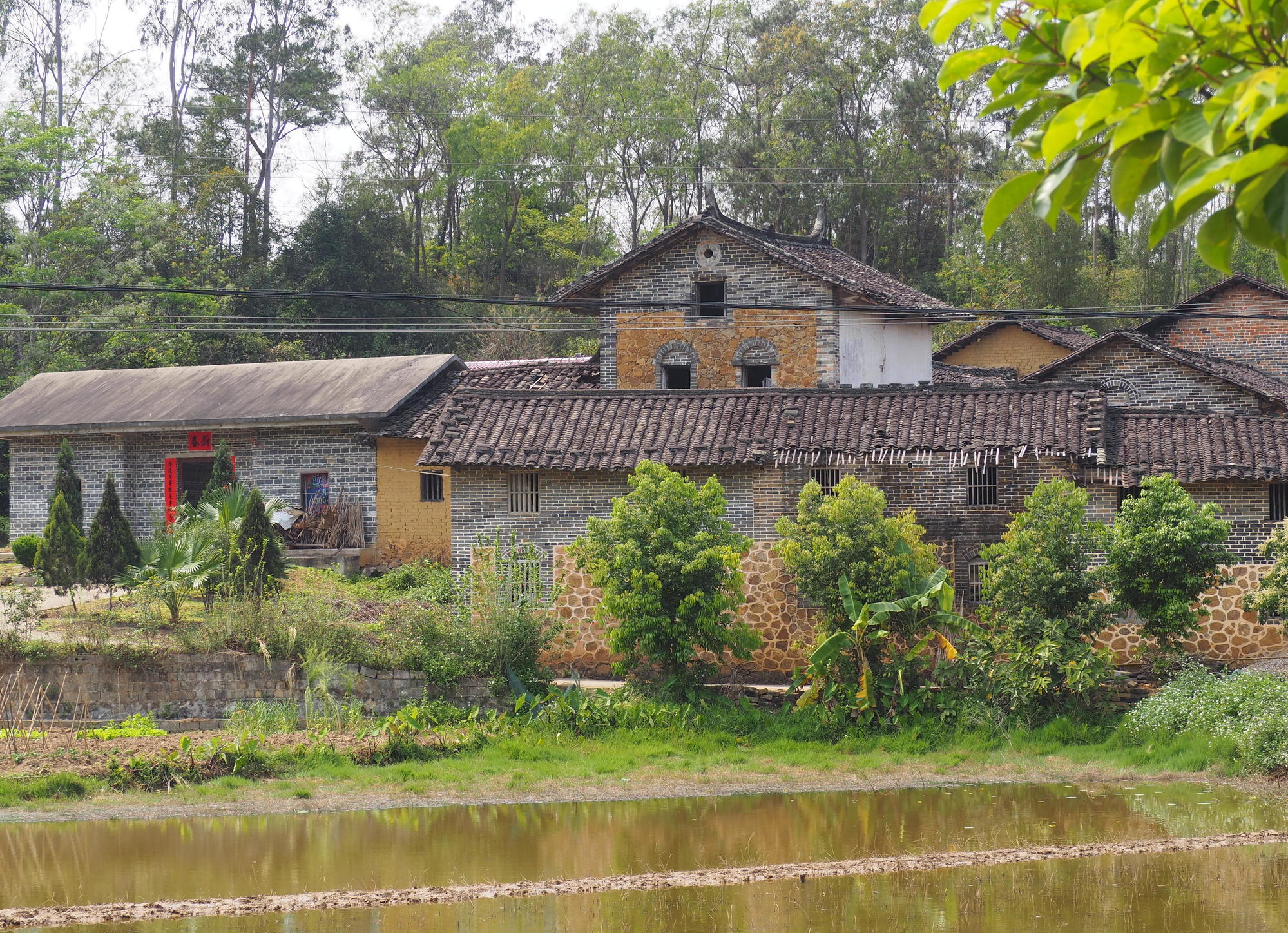
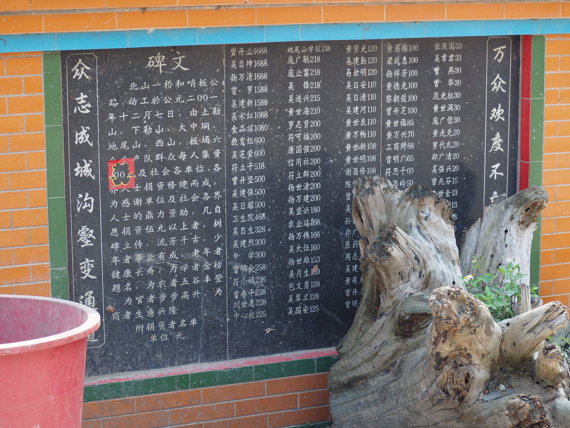
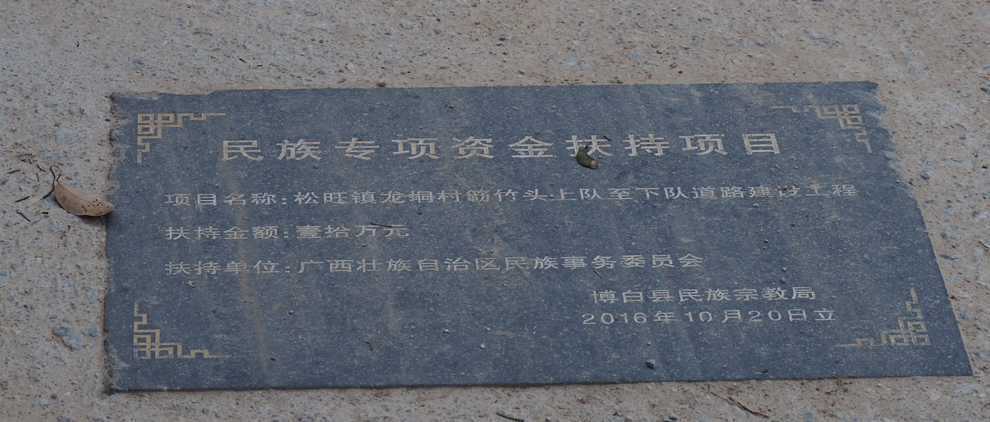
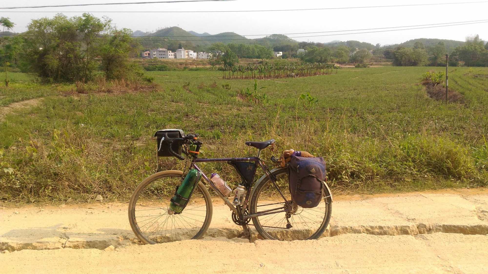
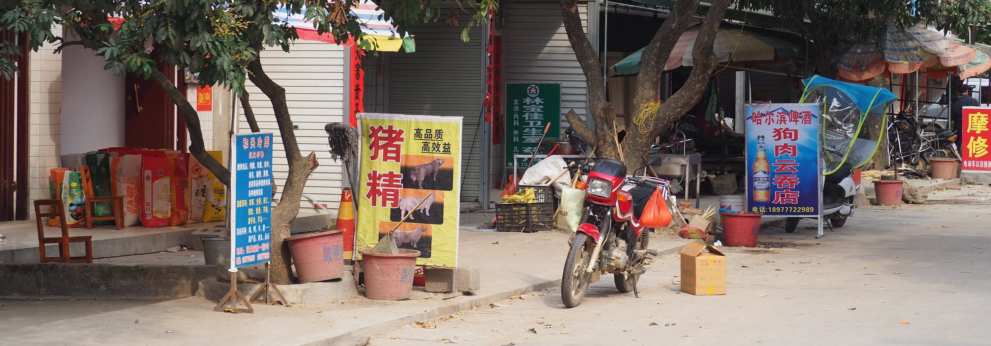
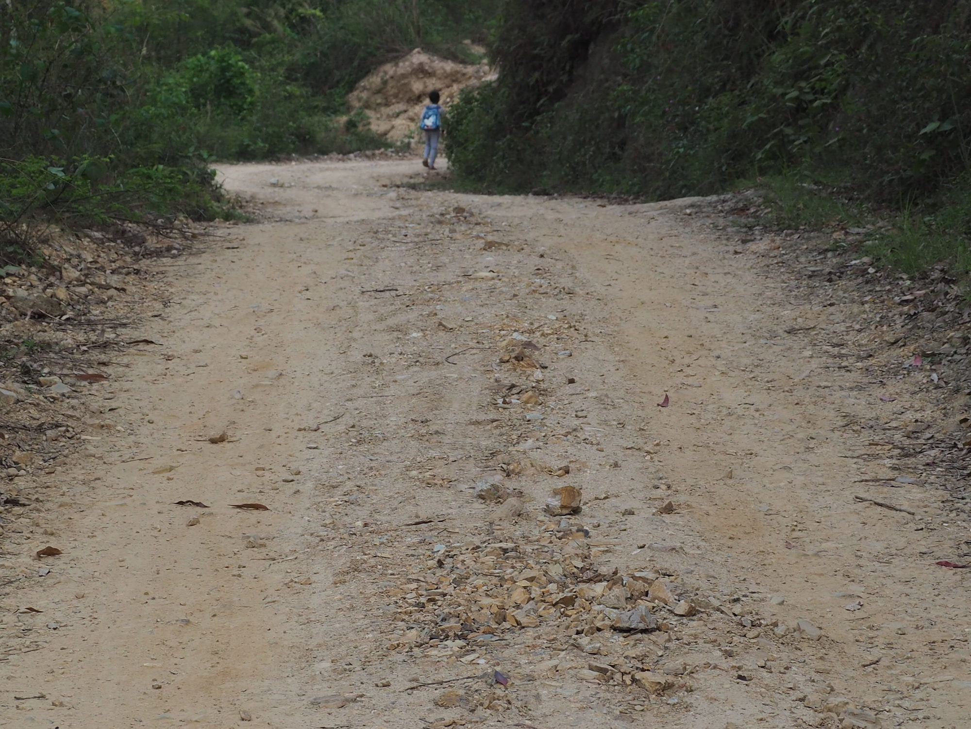
The first part of this section was a narrow 2.5m wide concrete farm road with big bollards keeping anything large off the road and, as a result, keeping the road in really good condition. When I merged onto the X121, I was a road as wide as a Grade II road but without quite so much aggressive reshaping of the landscape or removing of houses or insisting that agriculture stop a fixed distance from the road. There were lots of old buildings and I even had pretty good views of the reservoir a few times.
| Heart | 0 | Comment | 0 | Link |
| Heart | 0 | Comment | 0 | Link |
| Heart | 0 | Comment | 0 | Link |
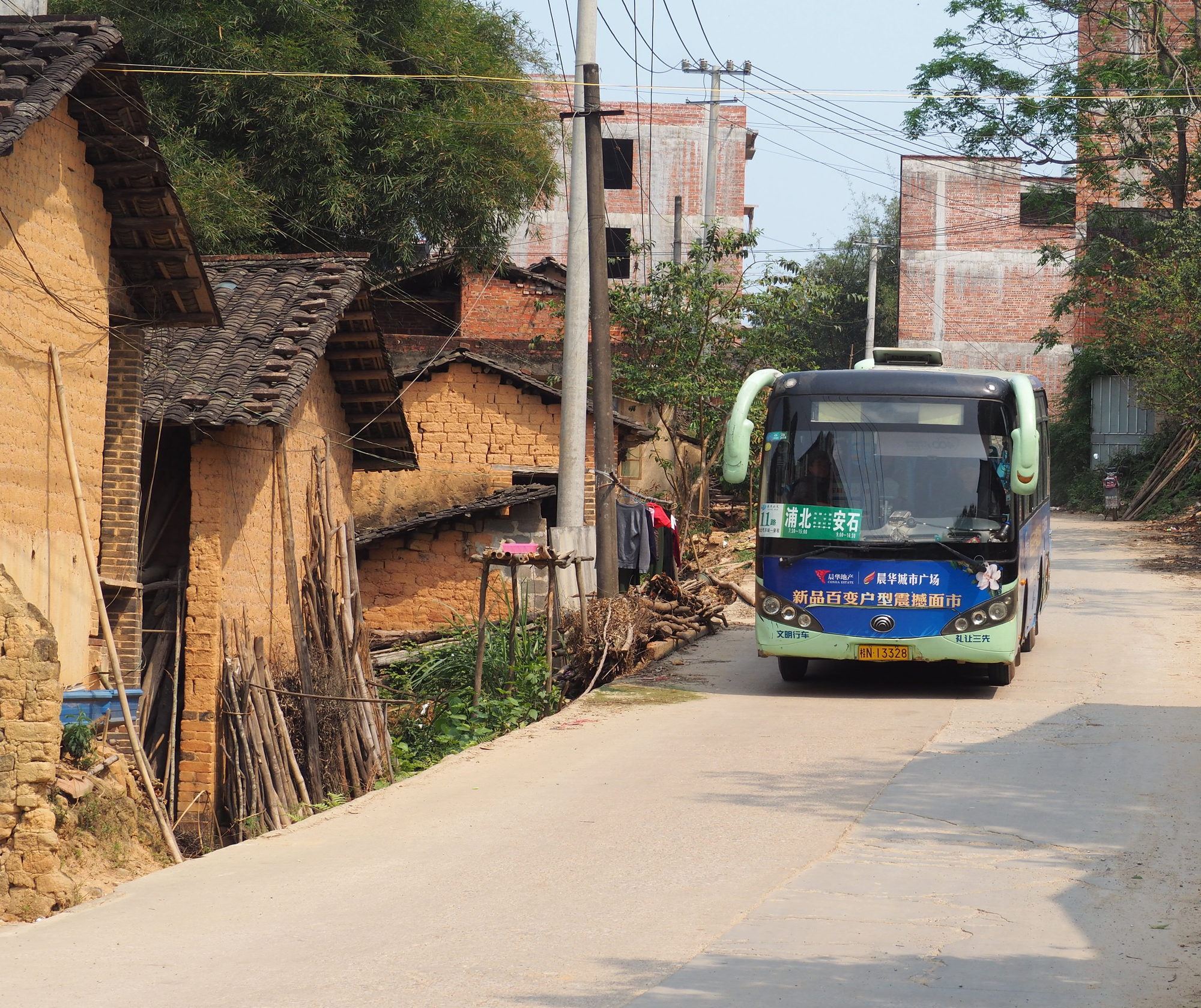
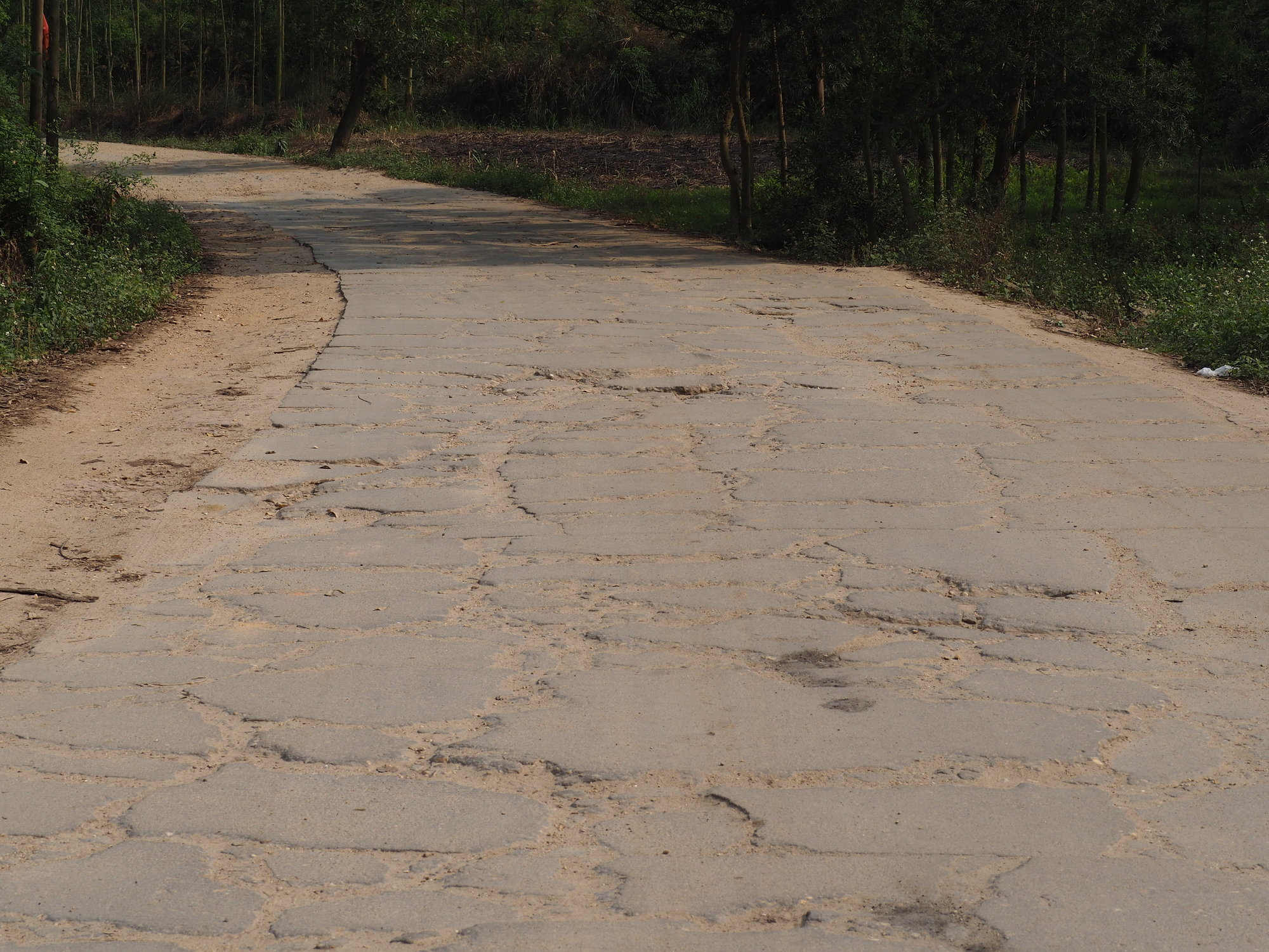
From Anshi to Shiyong the road was, to put it mildly, an absolute horror. I've had cracked concrete before. Lots of times. Lots and lots of times. But I've never had cracked concrete like this. Or, perhaps I should say, I've had cracked concrete like this that lasted for 500 meters or maybe even a kilometer. This, however, this was 13km of cracked concrete with a little break in the middle when I detoured on to a farm road that went south and east and over a big hill and back north again. Even with the time spent riding on the singletrack width dirt shoulder for comfort's sake rather than speed, any hope I had of making 100km today was completely lost by this section of road.
With about 3 hours of daylight left in Shiyong, it was time to figure out where to spend the night. Since I'm back in China, I can't really use GoogleMaps on my phone (connecting through the VPN is spotty and uses a lot of battery). I pulled up AMaps, searched for lodging, and saw a bunch of places in Gongguan on the G325 and a bunch more scattered about the various towns on the S216. The G325 is a National Road... don't want that. And Dongping, which I was sure was where I remembered thinking I'd go when I was using my laptop last night was quite a unnecessary bit to the north. So I picked the next town south and clicked "bike to here".
AMaps doesn't have topo. If AMaps had topo, I might have remembered why I was going to go that unnecessary bit to the north. Oops.
| Heart | 0 | Comment | 0 | Link |
| Heart | 0 | Comment | 0 | Link |
| Heart | 0 | Comment | 0 | Link |
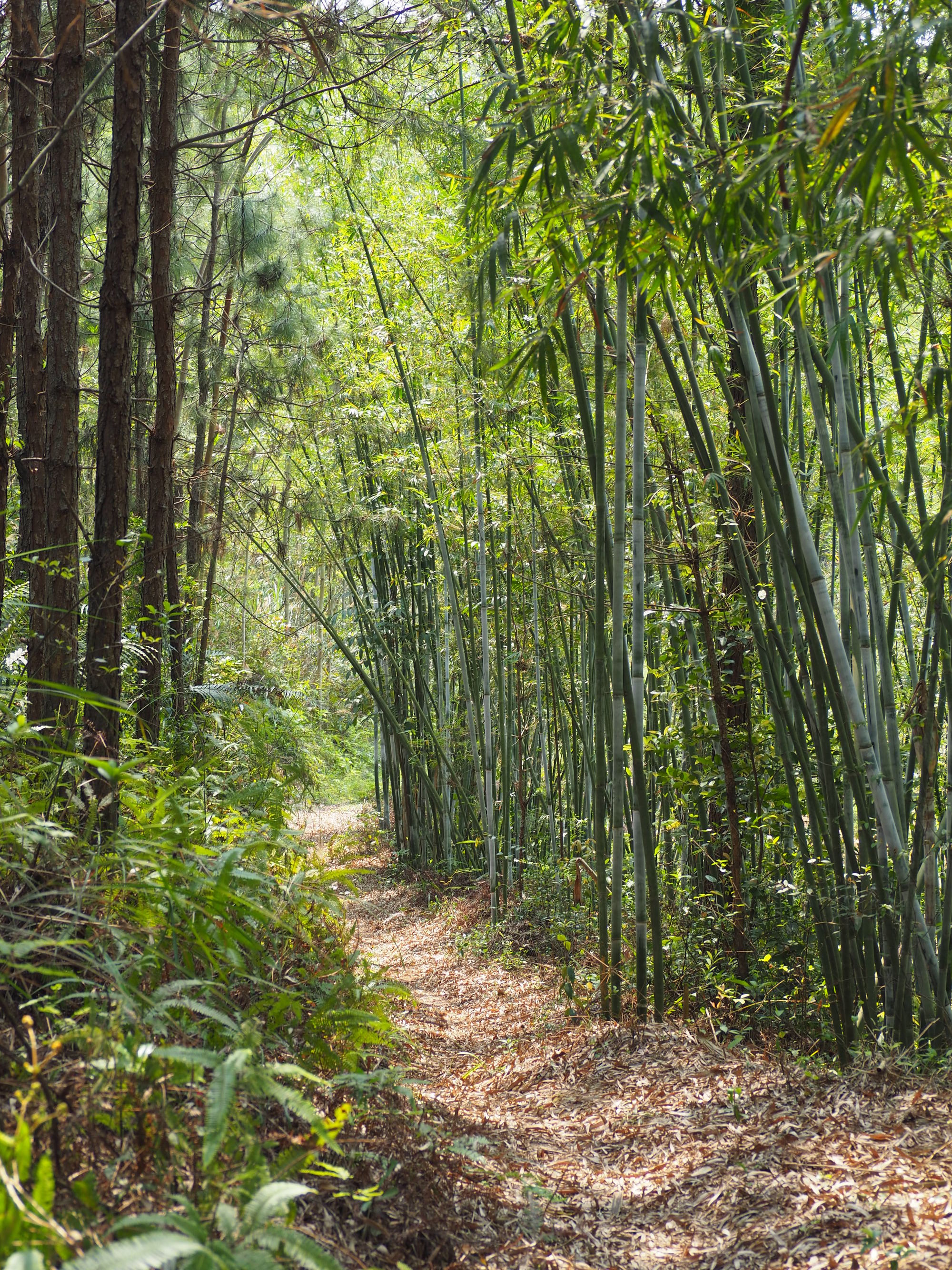
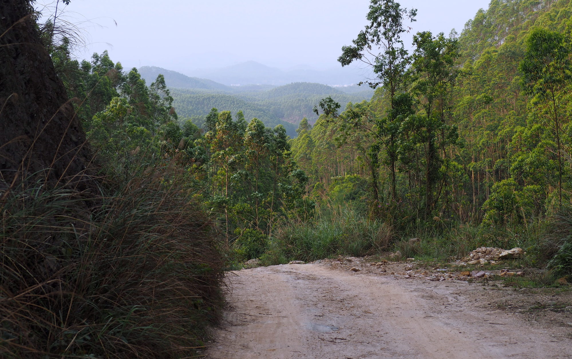
It wasn't too bad at first. In fact, it was actually quite nice. Especially after the torn up concrete road (which is actually the road I would have stayed on if I'd gone around the mountain instead of over it so I guess that's a win), the concrete farm road was great. The non-concrete farm road also wasn't that bad either. Except for the going up and up and up and up part.
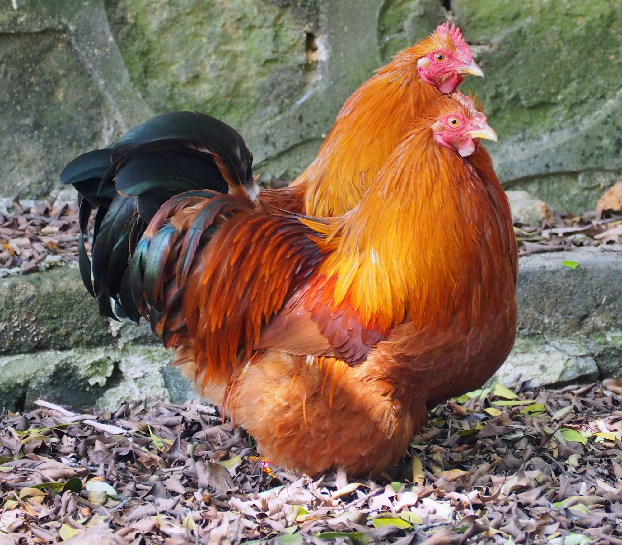
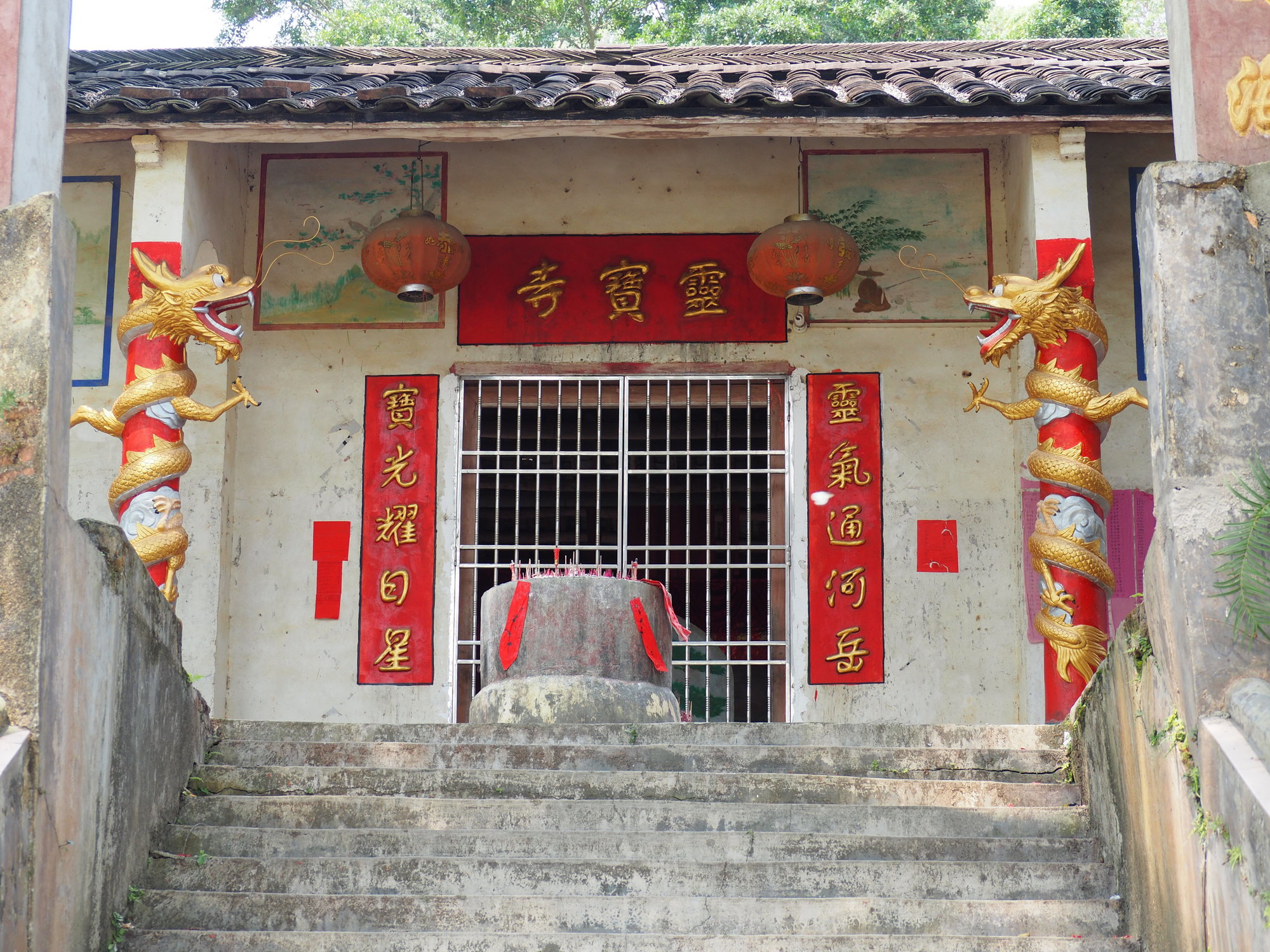
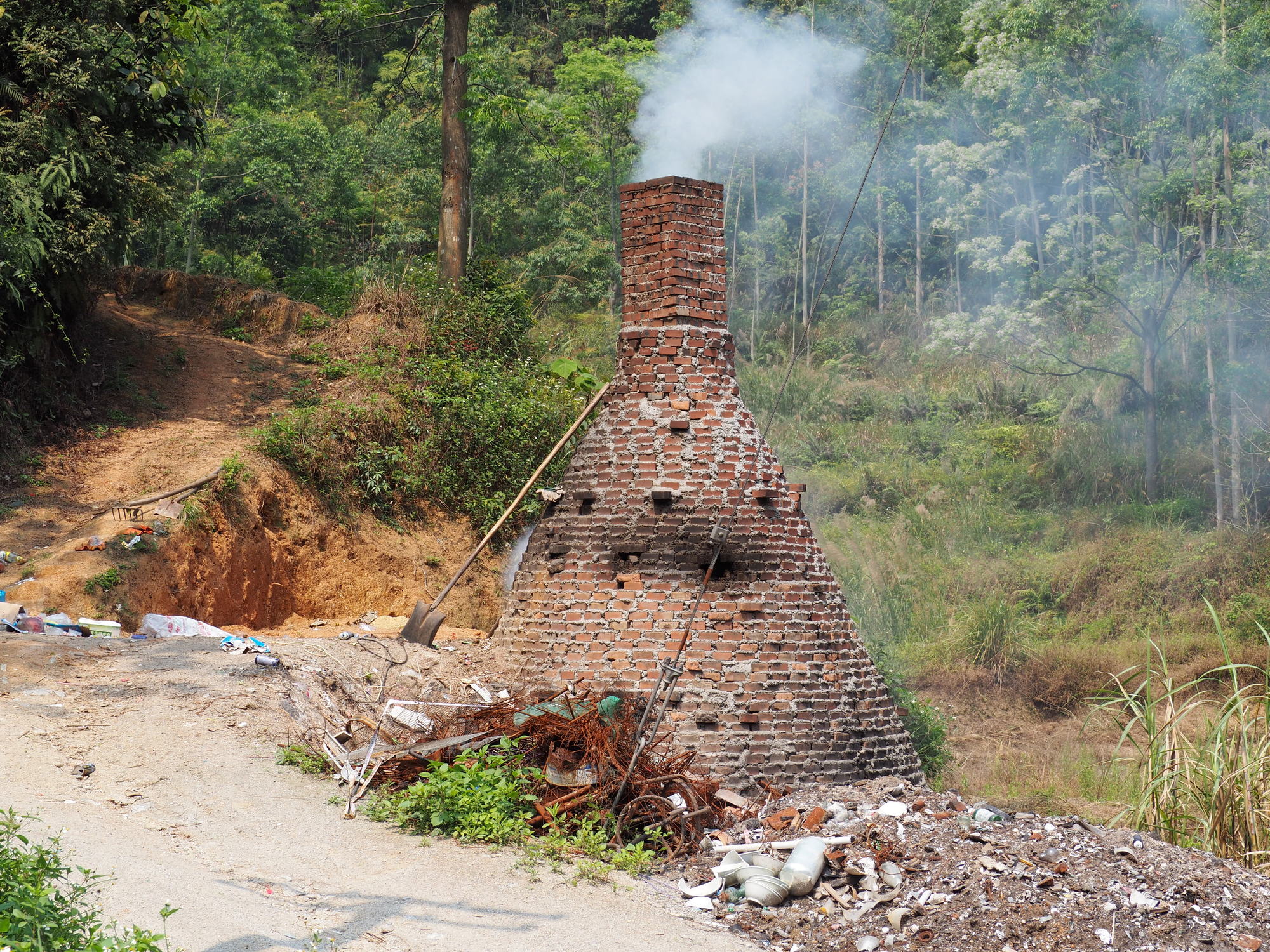
The road spent a while switching between paved and unpaved with paved sections clearly being the spots that were the worst in rainy weather and unpaved sections being the places where it didn't matter so much. I rather wish I hadn't been in such a hurry or that I currently had anything other than a telephoto lens available as there was an incredible number and variety of old houses and temples in various shapes and conditions.
| Heart | 0 | Comment | 0 | Link |
| Heart | 0 | Comment | 0 | Link |
| Heart | 0 | Comment | 0 | Link |
Things got a bit hairy when I first started coming down the ridge and getting intersecting roads again as AMaps also doesn't work very well when it doesn't have a strong signal and even though the GPSLogger running on the same device knew my exact latitude and longitude, the map program couldn't figure out where I was, if I was in the right place, or how to get to the right place (where ever that was).
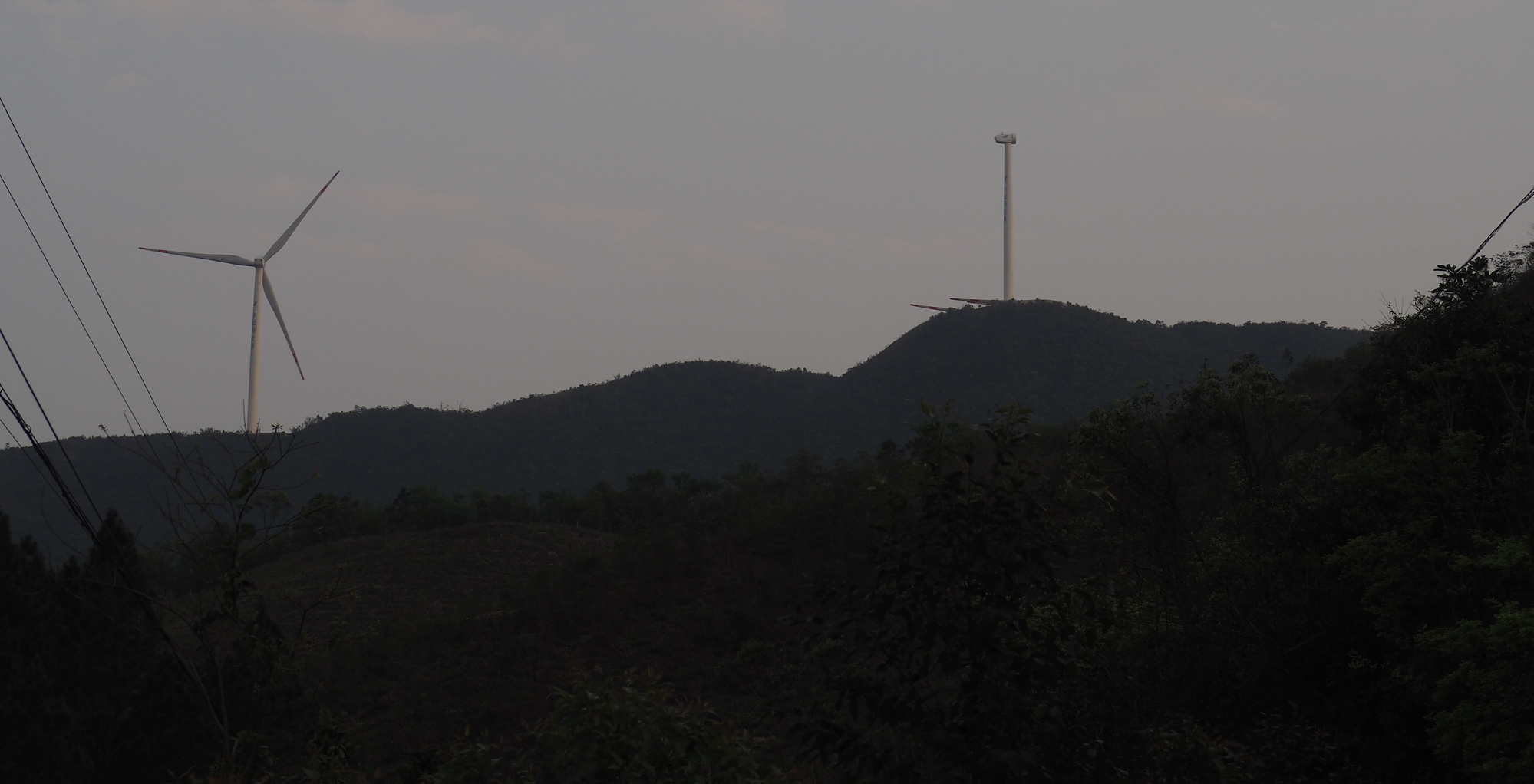
Just before the offices of the wind power company whose turbines were all over the ridge, I passed a fully kitted out middle manager type on a mountain bike. He told me I was going the right direction. I was super pleased that I was so close to the town already that I was passing people out on their evening training ride and just as super disappointed when I saw the offices of the wind power company and knew where he'd actually come from.
| Heart | 0 | Comment | 0 | Link |
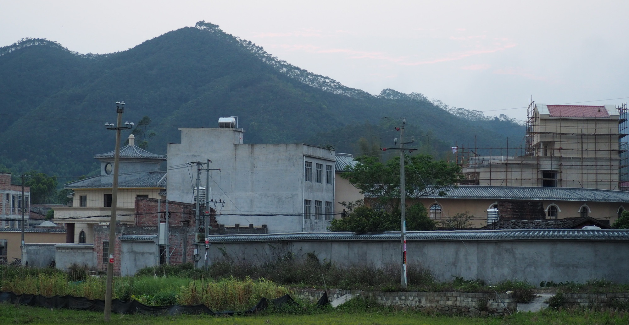
Got into town minutes before full dark. Found dinner next door to a hotel. Made the mistake of letting them take a picture with me and had to tolerate them constantly trying to take more pictures of me (now with my kid; now without my kid; can you look up so we can see your eyes) throughout the whole meal even after I repeatedly told them to STOP ALREADY.
Possibly the other night when the one hotel told me they had no rooms they might not have been lying as this hotel owner must've told me five or six times how lucky I was to have gotten the very last room.
Today's ride: 88 km (55 miles)
Total: 2,573 km (1,598 miles)
| Rate this entry's writing | Heart | 1 |
| Comment on this entry | Comment | 0 |