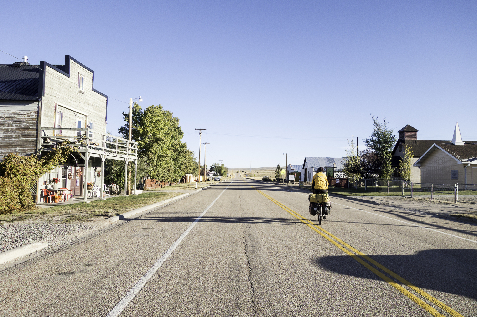
We camp under the shelter behind the Bunkhouse Hotel, just like so many other cyclists must have done this year. During the night we are awaken several times by howling coyotes roaming the country side just outside the town. There is a fine line where civilization ends and nature begins out here. A few nights ago in Dillon, it was honking geese during the night.
The temperature drops to just below freezing, our fingers are cold as we pack up our tent. Fortunately we do not have to cook breakfast outside this morning; there is a coffee maker and microwave inside the hotel lobby. We warm up over breakfast and talk with three fishermen that stayed here last night and are going the fish the Big Hole River today.
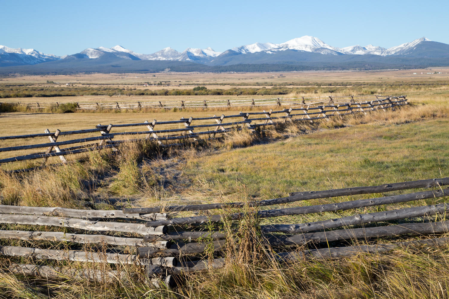
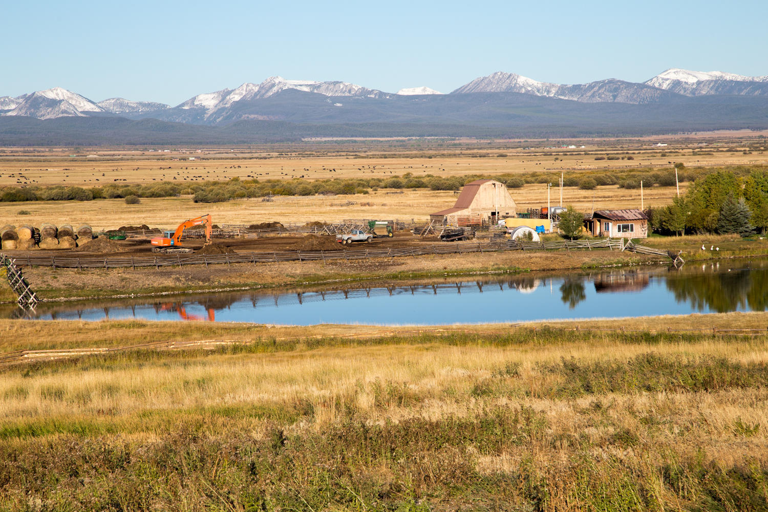
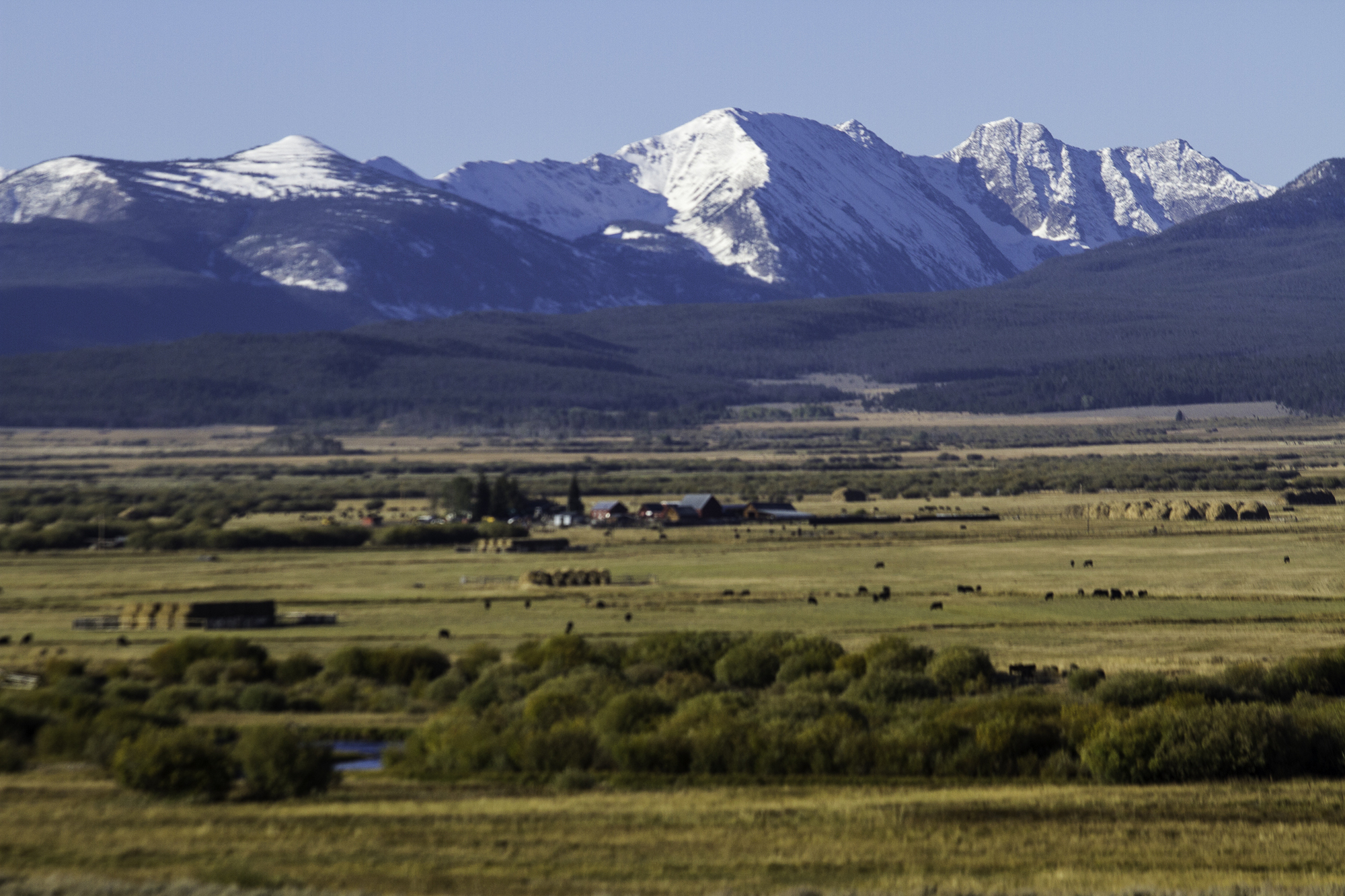
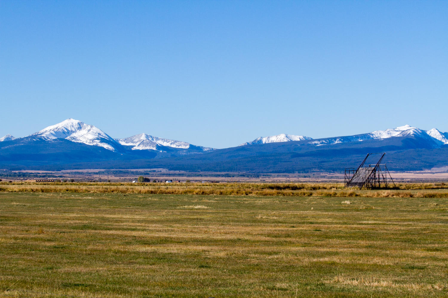
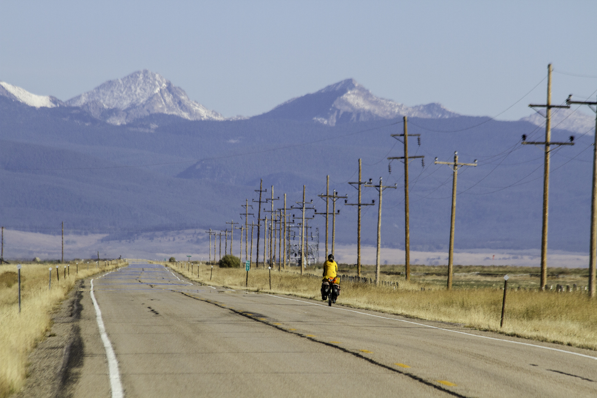
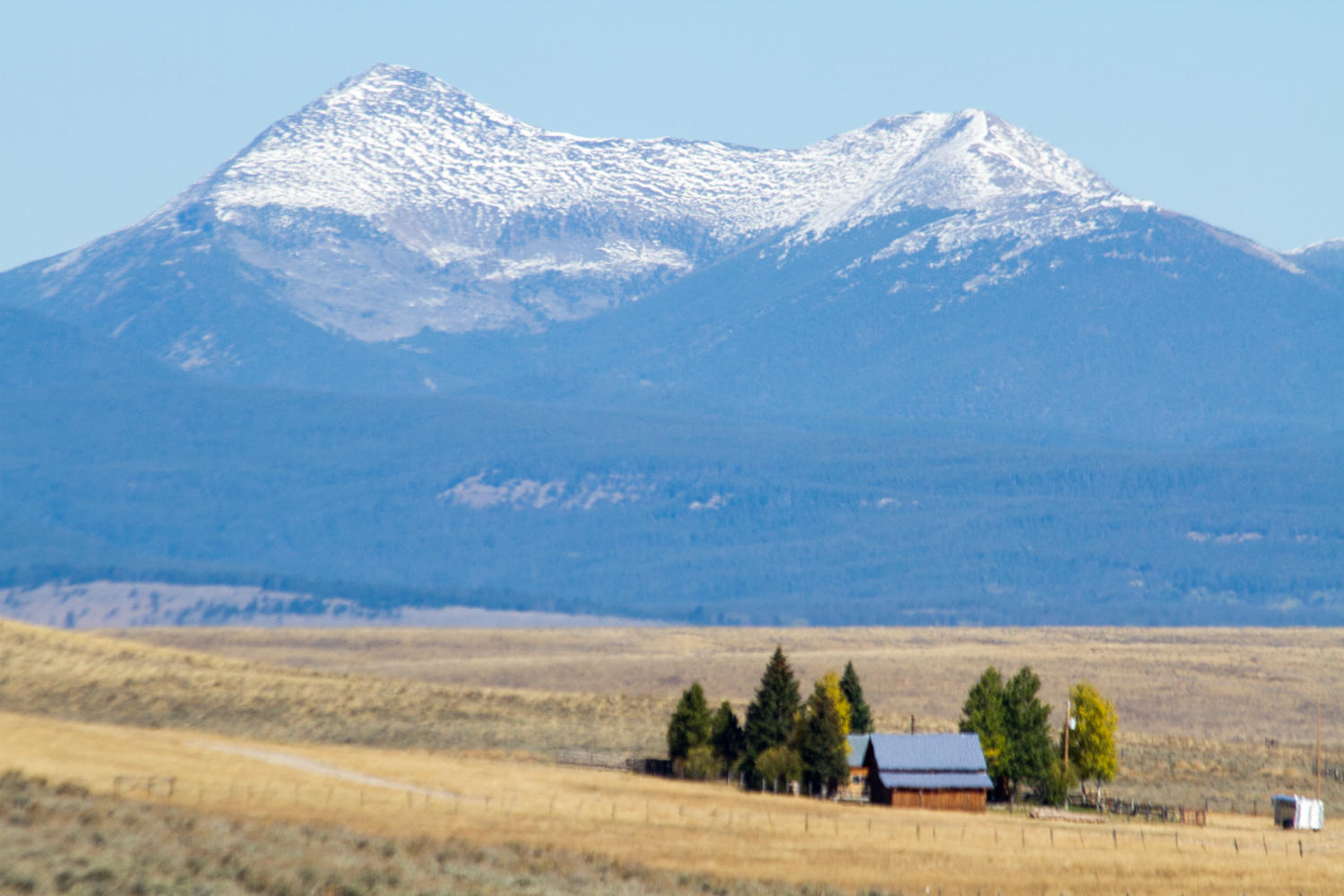
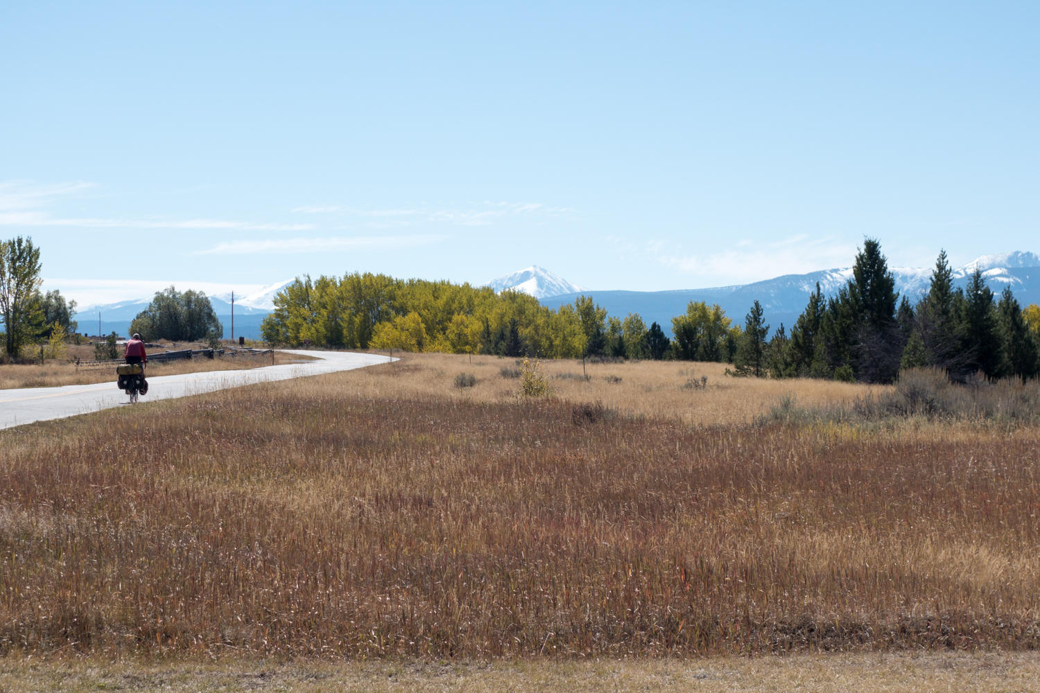
Our next target is breakfast in Wisdom. We make good time, but stop very frequently to take photos of the beautiful peaks of the Beaverhead Mountains to our west. This range forms the Continental Divide and on the other side is Idaho. This valley is known for its “beavertail” haystack machines that traditionally have been used here to pile the hay high in stacks left in the fields for winter feed for the cattle. A rancher in the Wisdom cafe later tells us only two and a half ranchers are still doing this, all other have switched to modern methods using machinery to create large bales that can be moved to where the cattle is.
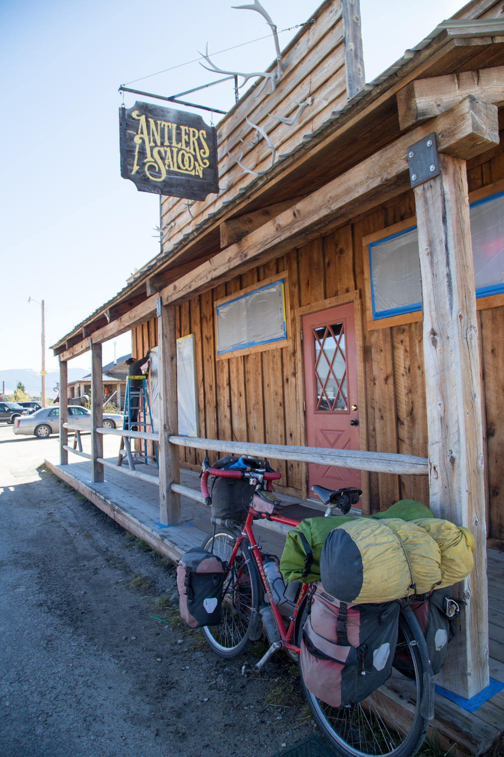
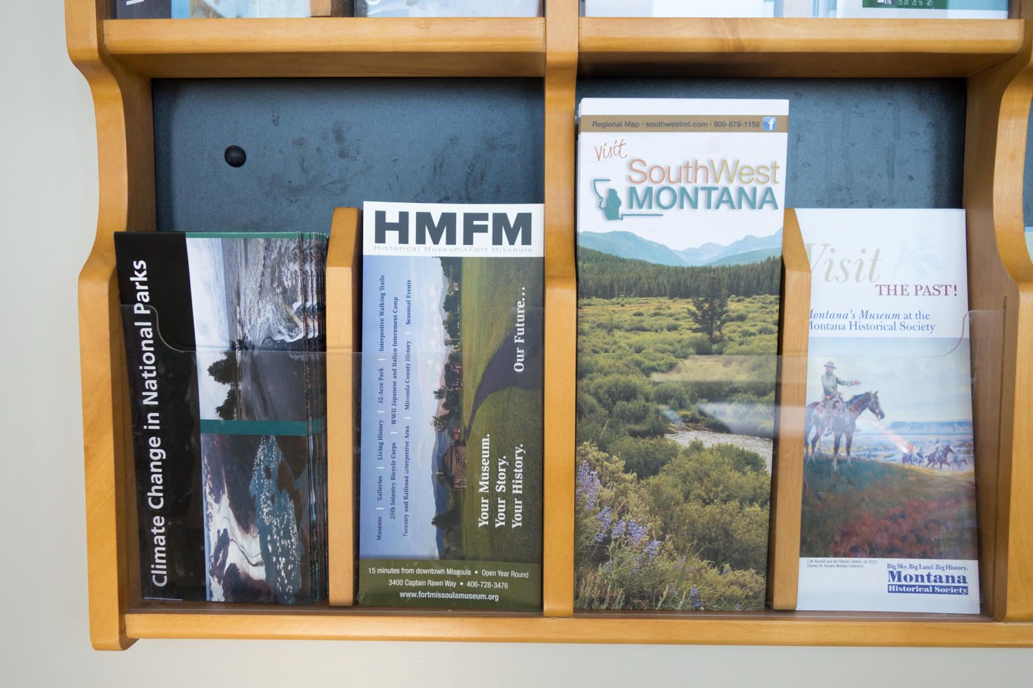
We do make it to Wisdom in time for an excellent breakfast at the cafe though it took a long time to get the food. Then we fill our fuel bottle at the gas station and shop for supplies at the general store. Patrick rides to the “Antler Saloon” for a photo. It took us almost two hours to get out of town. When he passed through here in 1989 Patrick, Linda Lake and Peter Johns from Australia enjoyed several beers here. Just outside the town is still the City Park where the Bike Centennial (now Adventure Cycling) group camped. We also camped here in 1995 on our 5 week honeymoon ride. The park seems to have evolved but still offers camping to passersby. Rachel remembers taking a sponge bath at the water pump in the middle of the campground.
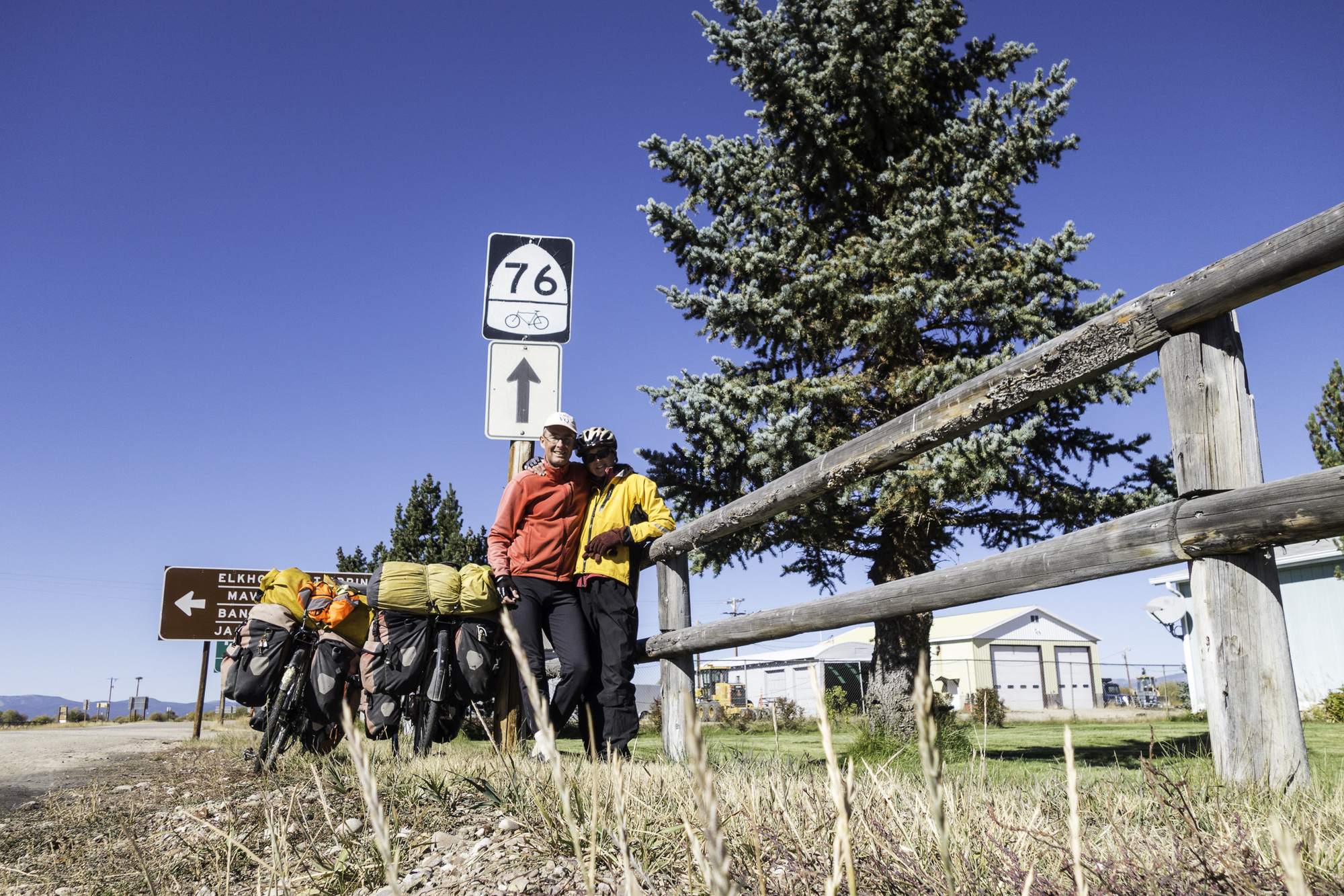
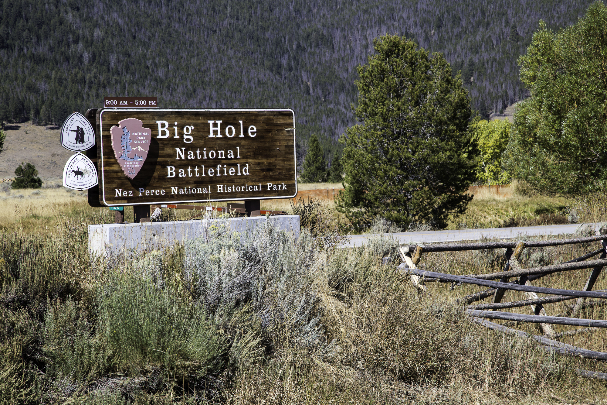
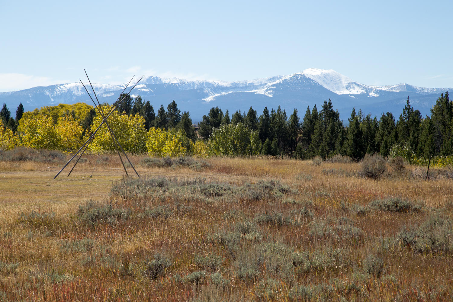
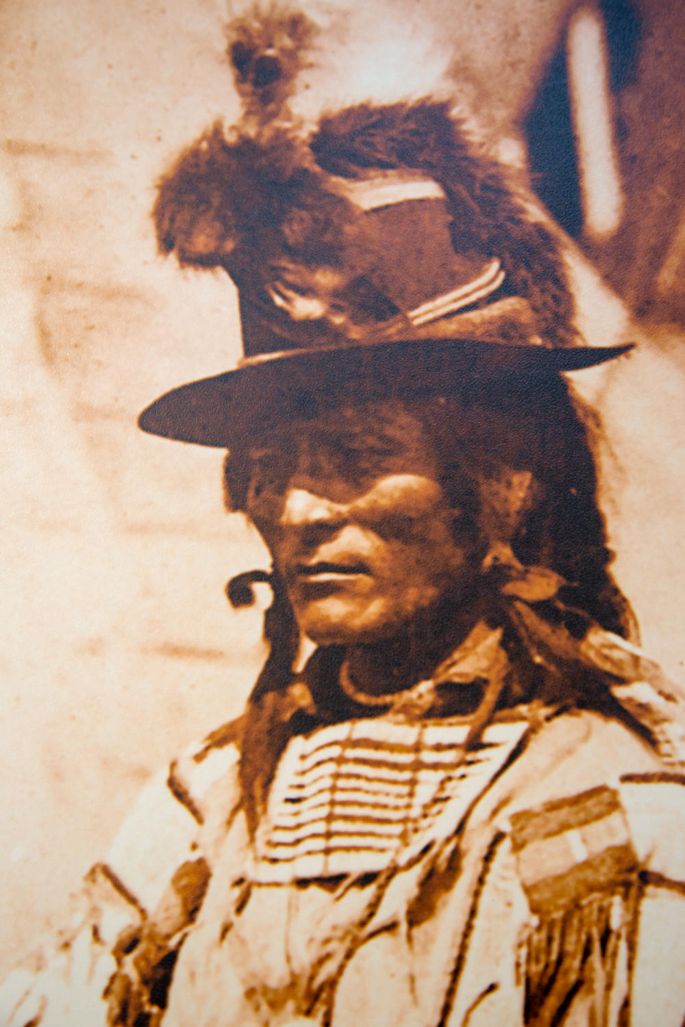
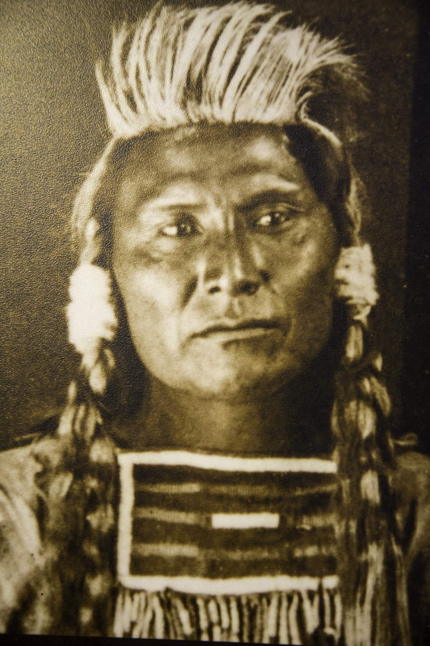
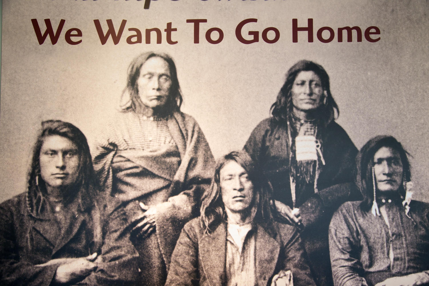
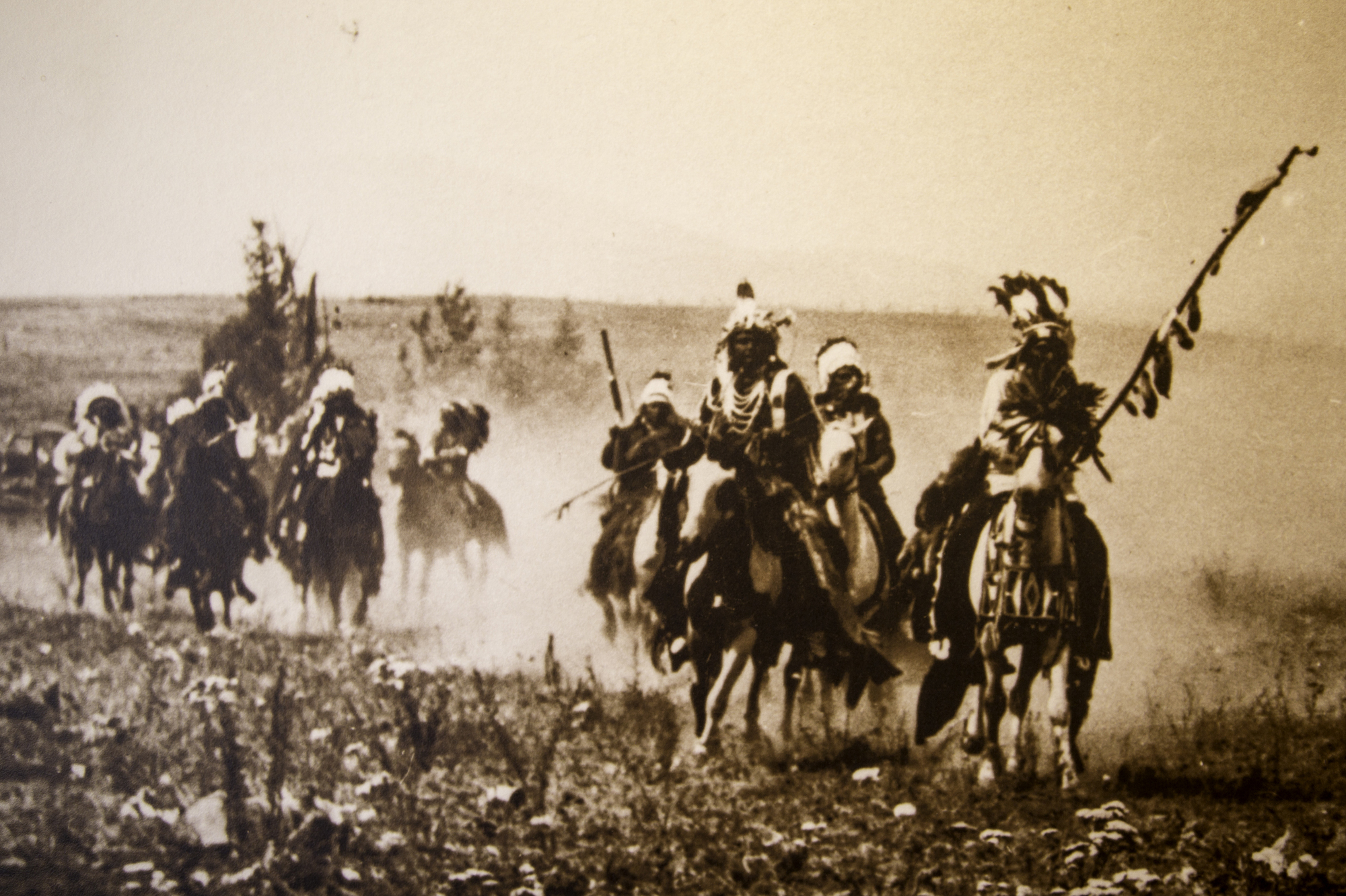
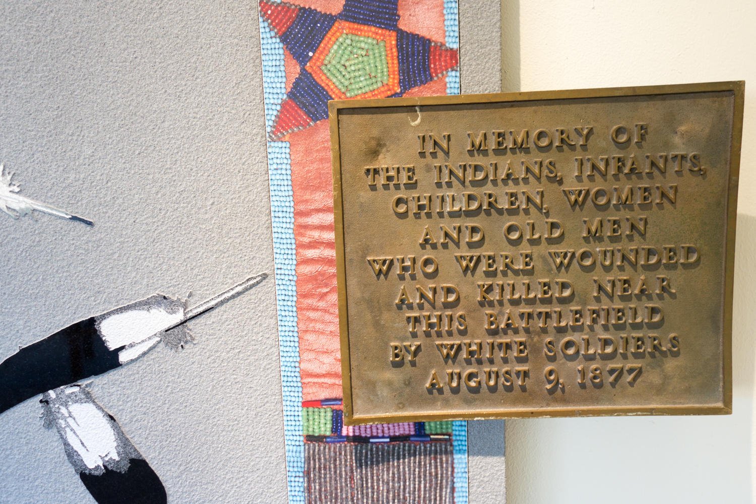
We turn west again in Wisdom and head towards the Big Hole Battlefield and Chief Joseph Pass. We pull in at the National Battlefield site to see the new visitor center. Only 140 years ago the peaceful band of Nez Perce Indians was chased here by soldiers spurred on by white settlers taking this land and looking for gold. Women, children and old people were indiscriminately killed. Only 140 years ago this land was stolen from the Indians through the barrel of a gun, using methods that today would be labeled “terrorism”. Yet today, the white people that benefited so much from all this, act as if this land has always been theirs and is only theirs to keep. Only 140 years ago.
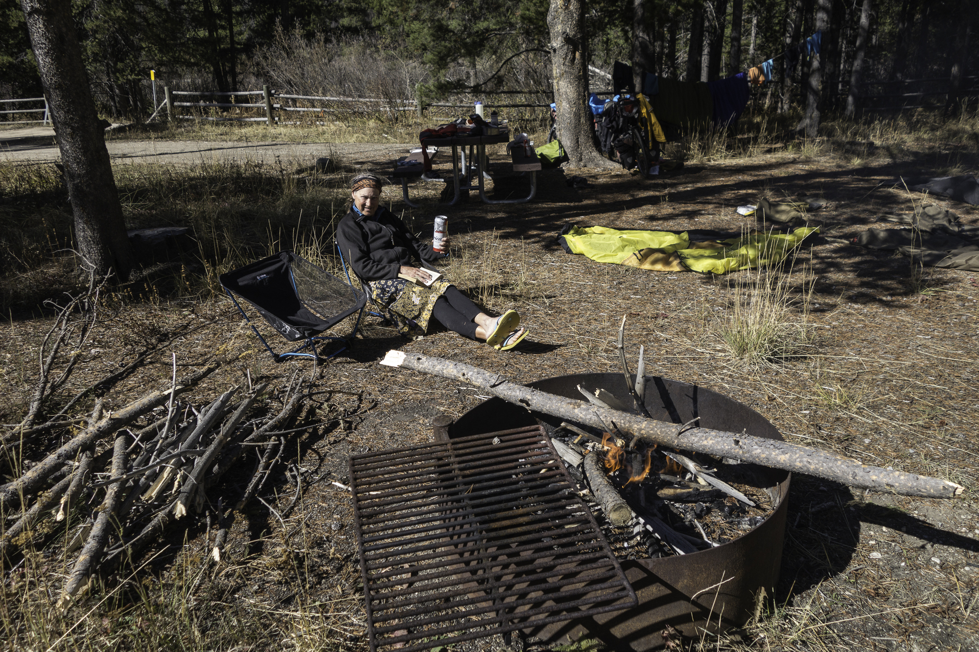
We ride another 10 kilometers slowly gaining altitude up the pass and find the May Creek Campground. The place looks deserted, but we don’t venture in much past the first campsite that looks very nice. The afternoon is spent airing our sleeping bags and sheets, tending a campfire and filtering water. The water spigots have already been winterized. Just as we start cooking a local guy who is hunting and camped further in the campground comes over to warn us about a winter storm headed this way. We know and hope to be off the pass tomorrow morning before the rain turns to snow.