August 7, 2013
Summertime, and the livin's easy: Egilsstadir to near Breidudalsvik.
I was for remaining a day longer in Egilsstadir, bringing the journal fully up-to-date, but the morning was cloudless and the wind had changed to a light southerly. It was Summer again.
I spent the morning doing last minute errants and shopping, bread and French salami for lunch. I needed fuel but the petrol station had sold out of the litre bottles of Red Spirit. There were only five litre drums, too much to be carrying on the bike. I'd still a day or so's alcohol in my fuel bottle if I used it sparingly, hoping a petrol station somewhere I'm passing through ahead would have....
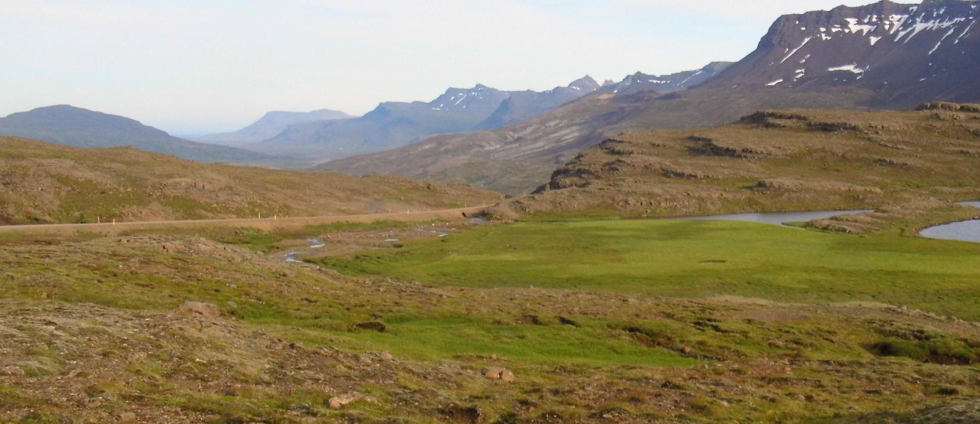
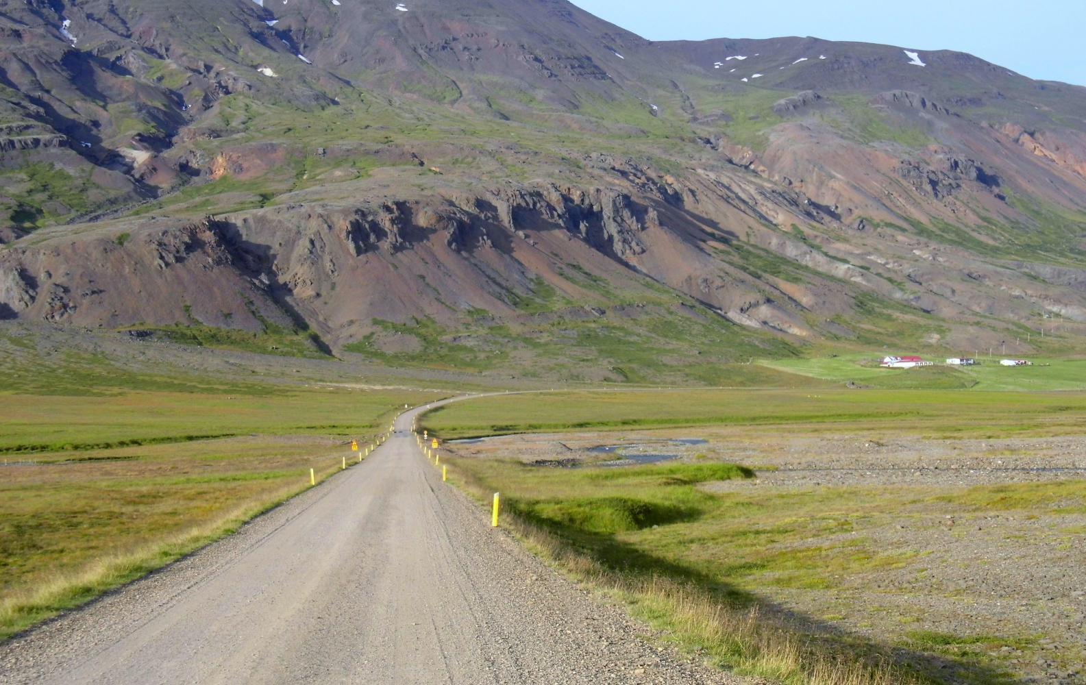
In the café by the petrol station, I'd coffee with many refills while using the free Wi-Fi. It didn't matter that half the time the network was down, at least it showed "No Internet Access" to the side of the screen, as long as I checked the network was working again before saving anything. I was on the road shortly before two o'clock, riding south on the ring road along Fjotsdalur valley with the snowy peak Snaefell ahead above the rim of hills in the uppermost end of the valley. Then the valley split in two with the road swinging off south east, leaving the straight road to a place called Hallomstadir and on towards the said snowy peak. The smaller valley I passed through remained pastural with fields dotted with white plastic-rapped bales and other fields where tractors were busy baling rows of grass. Seemingly in the short few Summer months when the grass grows rapidly because of the near twenty-four hours of daylight, all suitable fields here are cut and saved for animal fodder, suffice to see farms through a long Winter that lasts up till June.
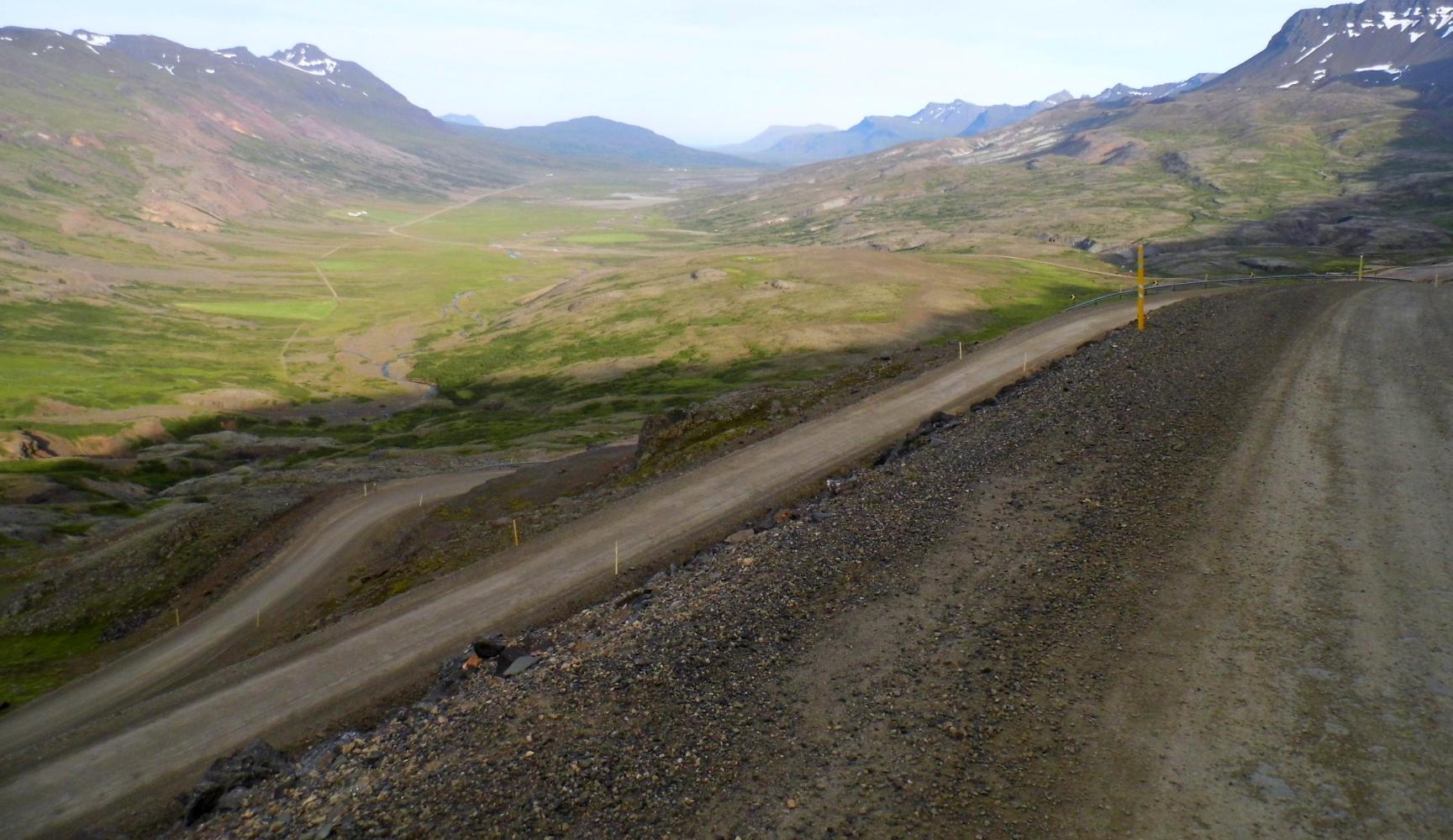
I lunched late at four and was back moving again around five, when first the road changed to gravel with The sign "Endar Maelbek". Then came a steep climb out of the valley followed by a tricky switchback descend into the next, Breidurdalur. Tricky because on the bends down, there was a chambered drop to the inside like the banking on a velodrome which if I locked the front-wheel I'd most surely slide off on the loose gravel; plus, my brakes were being fully tested on the steep run-down with a frightening drop to the side.
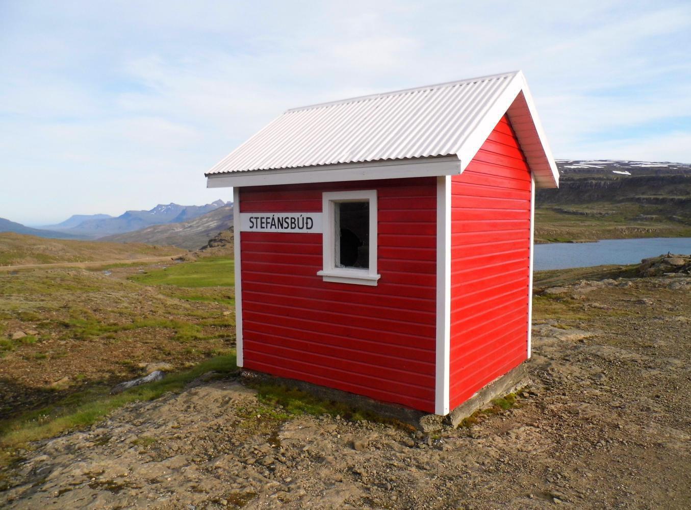
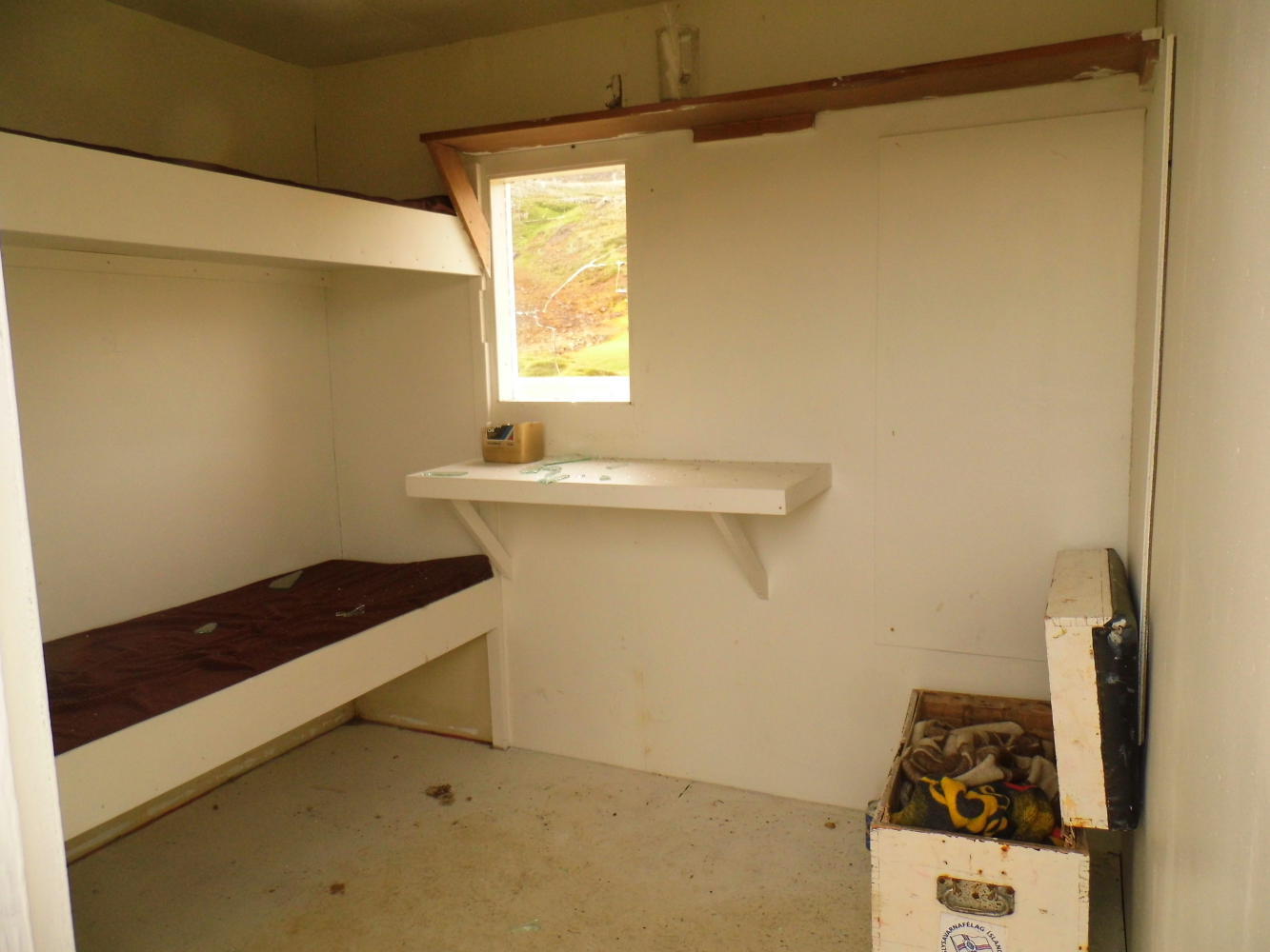
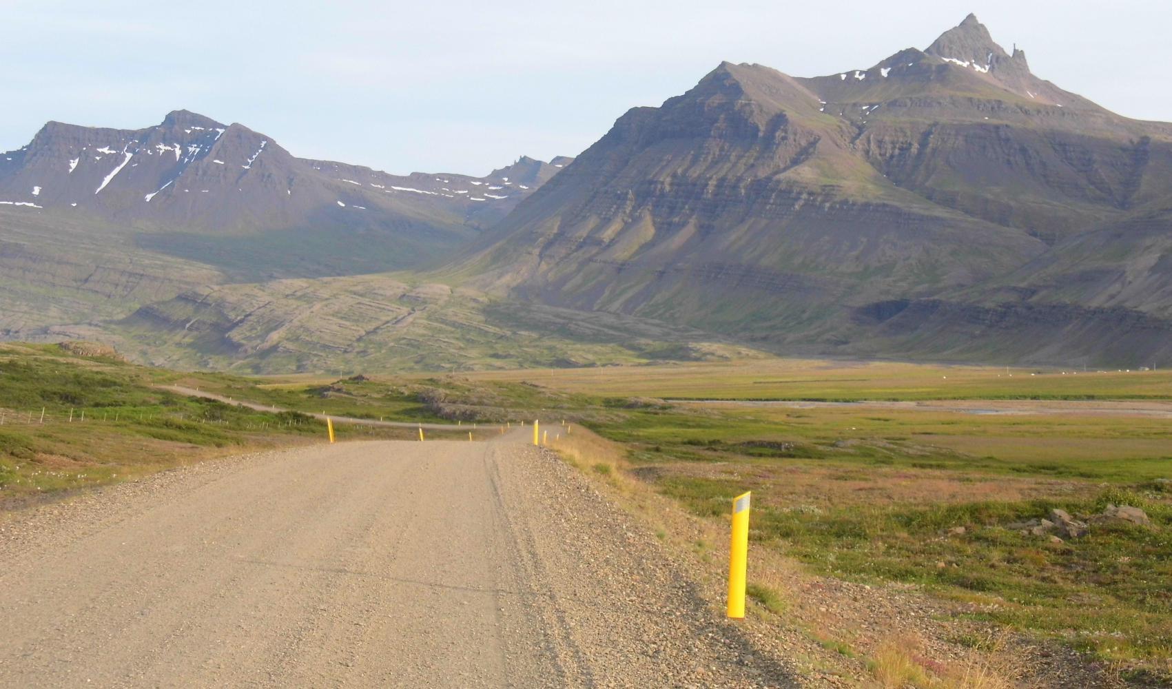
The next place on the map south was Breidudalsvik at eighty-four kilometres, and I wasn't going to make it because the evenings lately have suddenly began to draw-in with it getting dark at ten. Although I could see along the valley with its ragget lobsided hills like sinking ships at the side all the way to the coast, the location of the aforementioned village, I checked my map and I'd still twenty-two kilometre to ride yet and it had gone half eight. But there was lots of rocky unfenced land to the side where I found a wild campsite up from the road along a trickling stream. I would be in Breidudalsvik in the morning in time for a coffee.

| Heart | 2 | Comment | 0 | Link |
Today's ride: 71 km (44 miles)
Total: 3,873 km (2,405 miles)
| Rate this entry's writing | Heart | 2 |
| Comment on this entry | Comment | 0 |