July 21, 2013
Night of The Long Shadows: Asbyrgi to Myvatn
The sun was warm already by seven this morning, warming the tent up and forcing me out. I left the stream bank where I'd camped shortly after eight and cycled the remaining five kilometres down to met the paved road which follows the coast. Coming down the hill I could see the white suspension bridge over Jokulsa a Fjollum. It looks to date from the 1940s as there's a steep descend down on the approach and is only a single vehicle wide, then a steep ascend up the other side. Below the wide channel of cement coloured water surges swiftly along out to sea. It made me think, that that water had spent thousands of years as ice in the glacier, and I wondered would it ever fall from clouds as snow on Vatnajokull again, so beginning a new journey as ice, travelling down through the glacier until it meets the soft corrosive rock surface where it would melt and gush out and keep the river flowing.
A kilometre further, there was a petrol station, a shop and café. I needed something to put on crisp bread for lunch, so I put a can of tuna in the basket. And Is out of biscuits, so picked up a big pack of custard creams. At the counter I paid for a coffee too. I filled a cup from the thermos and took a seat at a table where I spread my map out before me. I was still trying to work out a route in which I'd get to all the places I wanted to with a fair amount of cycling-adventure on marked tracks in between.
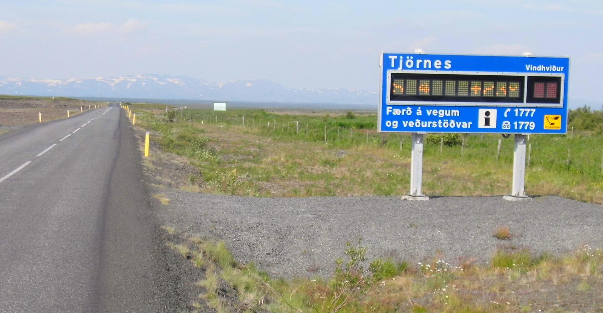
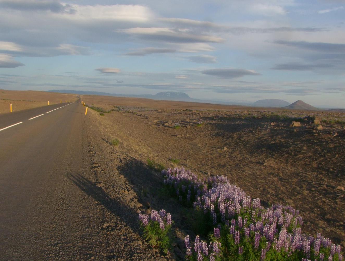
The way ahead had a big electronic sign at the roadside to inform or warn of the weather ahead on the traverse of the broad coastal stretch of Oxarfjordur. A landscape formed by sand deposited by the river and covered with dwarf birch and pasture. The figures on the sign where S 4 which I take to mean a southerly wind of four metres per second, and 23 degrees.
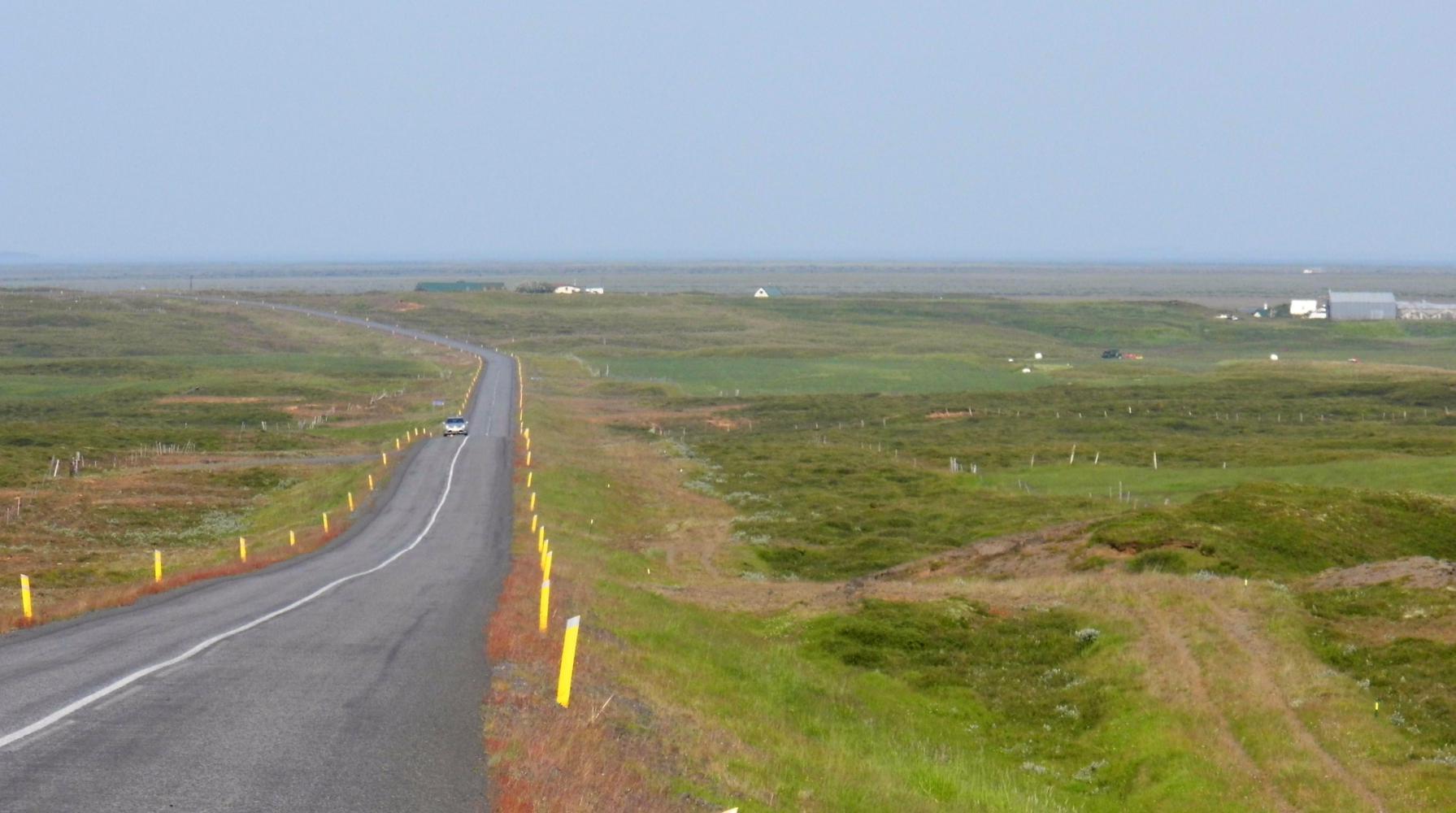
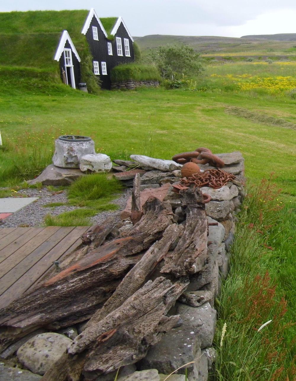
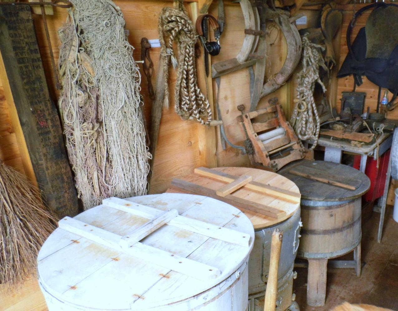
I found the ride today a little boring after the precious few days. After Oxarfjordur, the road climbed and rounded the coastline of the Tjornes peninsular. I stopped twice, first for lunch at a picnic view-point looking back over Oxarfjordur, and secondly, at a folk museum where it came on rain for a brief few minutes. The woman there requested eight hundred kroners when I had a look in a traditional Icelandic houses. But as I'd just stopped out of curiosity and a break from the monotony of the road, I thought it a little much to see something that I hadn't planned on seeing. I felt a little bad afterwards as this is the people that live there's living.
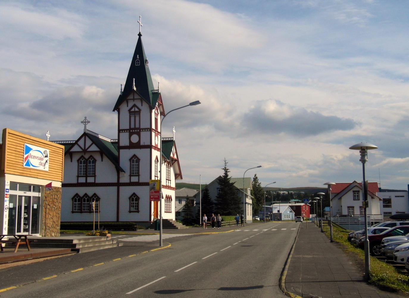
I descended into Husivik at five which was full of holiday-makers. The main attraction here is Whale watching. I had a coffee, then as Is thirsty, bought a two litre bottle of Pepsi plus a carton of yogurt for morning at the petrol station shop. On the ride out the other side of town, there was a supermarket, open even though it was Sunday; so, I stopped again and bought some bananas and cauliflower for dinner. If I had of known, I'd have bought the drink and yogurt here too, the petrol station being pricey.
Leaving town eventually, I was looking at my watch, 17.52, and was thinking I'll ride three hours more, to nine o'clock, that will take me either to Lake Myvatn, or Gudefoss which are equally around fifty kilometres from Husivik. Eight kilometres out of town it was a hard decision when I came to the turnoff for Myvatn. Whichever I chose to head for would influence my particular route onwards. I turned for Myvatn in the end because there would be a shop and I could do with the next day off the bike.
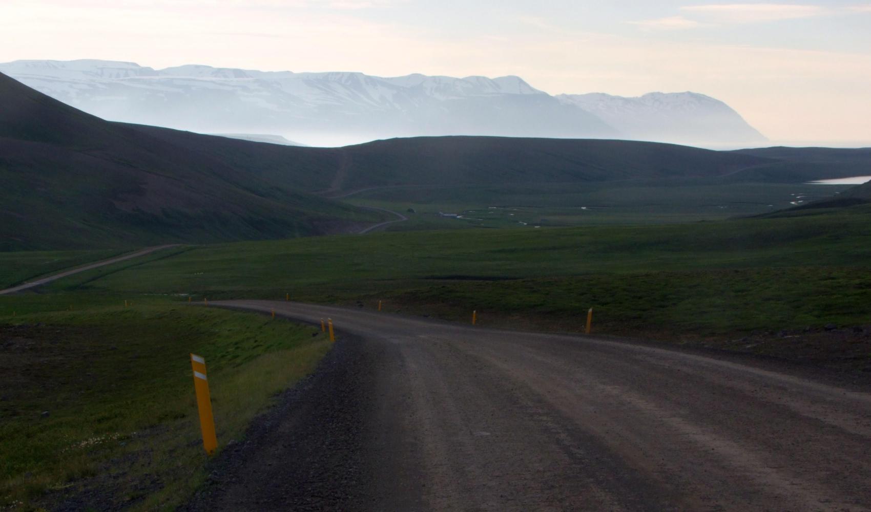
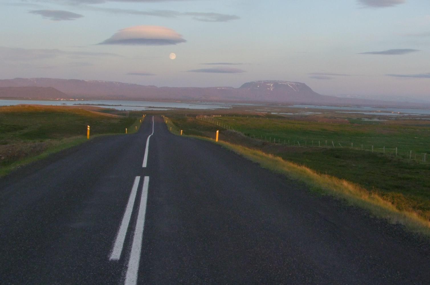
The road continued up a valley, then climbed steeply up upon a plateau, where I immediately stopped to look at the view back toward the coast at Husivik, then when I crested the final rise, the view ahead. I spent the next few hours constantly stopping to take in the vista and it was half ten when I began the descent to Myvatn casting a long shadow ahead as the sun hovered just over the horizon behind me. I saw the white disc of a full moon rise over the tabular mountains to the south of the lake which shone brightly once the sun sank below the horizon.
| Heart | 1 | Comment | 0 | Link |
| Heart | 0 | Comment | 0 | Link |
| Heart | 0 | Comment | 0 | Link |
Today's ride: 125 km (78 miles)
Total: 2,988 km (1,856 miles)
| Rate this entry's writing | Heart | 2 |
| Comment on this entry | Comment | 0 |