July 23, 2013
Myvatn: Planning my way across the highlands.
As I've said before, there is no night here; evening blends into morning. When I arrived at Myvatn Sunday just before midnight, the sun had gone just below the horizon for a few hours. I put the tent up and then set about cooking the last of the rice with the cauliflower I'd bought in Husivik for dinner. And while waiting uploaded photos to the computer. Later, an Australian guy told me the password for the Wi-Fi and we sat together at the table outside the locked campsite reception with laptops open. He'd taken a magnificent picture of Jokulsarlon (the glacier lake full of icebergs in the south) with red afterglow cotton-wool clouds reflected in the lake.
"It's amazing this place" he said. "There's no place like it on earth. It's..." he stopped.... and I said "unworldly" "Yes. Unworldly. I've just watched the moon rise and remain in motion across the sky. Where I come from, it comes up suddenly and you don't see it moving"
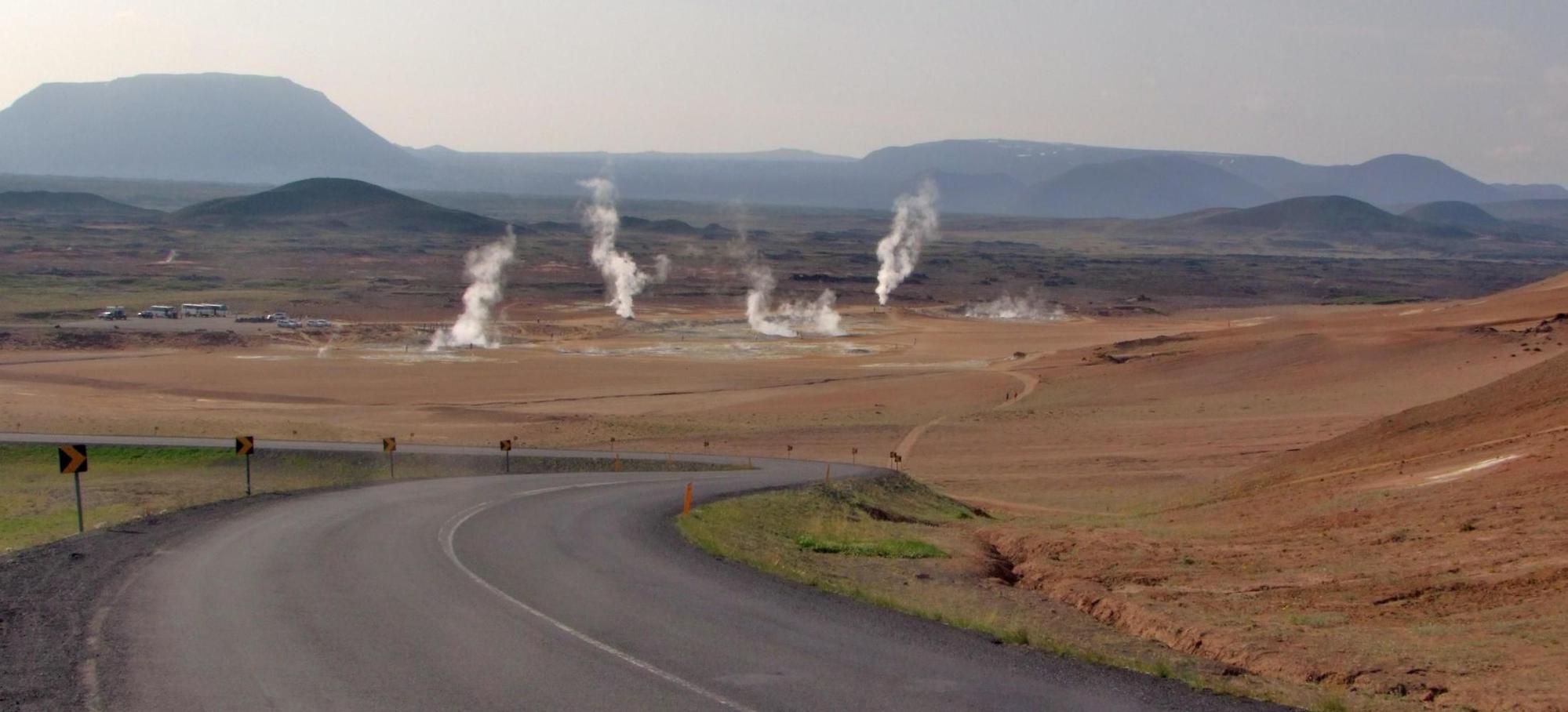
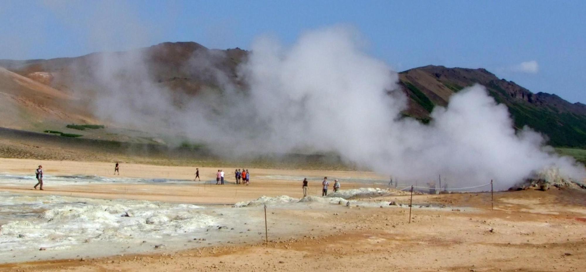
Monday: woke up at eight exhausted after only lying down at four when the sun was already glowing behind the hills to the north east. After breakfast of the last of the muesli and the expensive yogurt from the petrol station in Husivik, I set about the usual chores of a day off the bike, which, began with washing the clothes I wear everyday on the bike. The clothes dried in little more than an hour, as it was another warm sunny day. Then went to the information centre to find out about the route ahead, I intend doing into the highlands. The ranger was pretty knowledgeable. The way I intend going is an unofficial track, meaning it isn't serviced by the government, beginning close to the south side of lake Myvatn and runs south to eventually pass the west side of the mountain massif around Askja to meet the road F910, which will take me east on the southern side of the abovementioned mountains.
First I asked were there many vehicles that take this route. He replied hardly any. There are many streams though all the way south to the first refuse hut at roughly forty kilometres, so getting water on the first half shouldn't be a problem. The next stretch to Askja is dry: this year though, because of the late snow, there's still a lot of snow down that way, so there'll be a lot of melt water which I can drink even though it'll mean getting off and pushing for many kilometres. Because of the snow, the road F910 is still closed; but, he told me, there is a new track to the north of the Askja mountains which isn't on any maps yet, which should in effect be a shortcut round to the hut and campsite at Dekki, the access to the Askja cauldron.
Tuesday: There's only the small shop at the petrol station here in Reykjahild, the village at Myvatn; which, is extremely expensive, especially as I'll have to buy up to a week's supplies before heading off into the highlands. So, the plan for tomorrow, is to return fifty kilometres back to Husivik, resupply, lunch by the seaside, then ride fifty kilometres inland again, this time to Gudefoss and finish the day at one of Iceland's great waterfalls, where there's a campsite; and which, will leave me at the start of that alternative road and track for the following day.
PS: It'll be a while before the next update.
| Heart | 1 | Comment | 0 | Link |

| Rate this entry's writing | Heart | 2 |
| Comment on this entry | Comment | 0 |