August 1, 2013
F88: Reykjahild to Herdubreid.
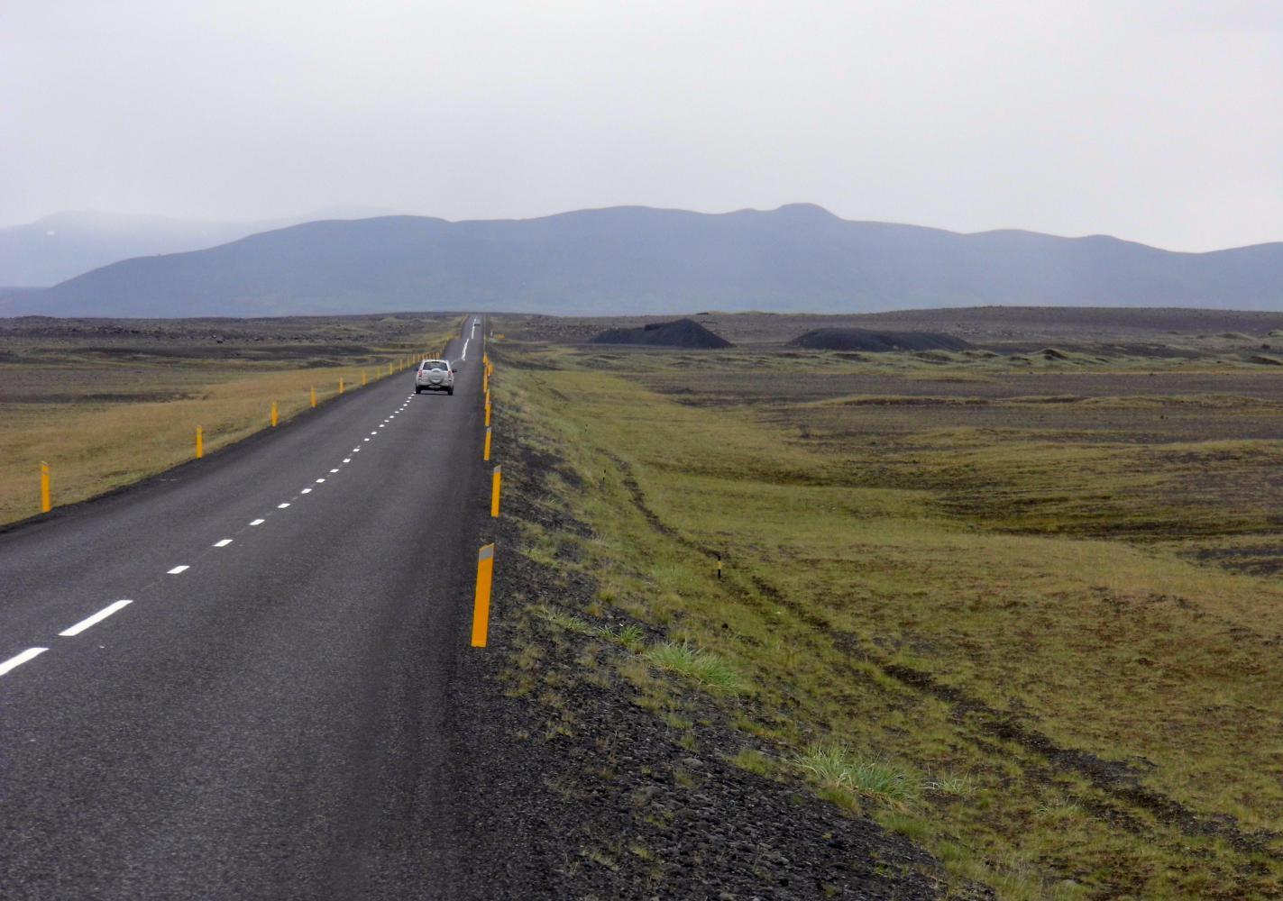
The forecast on the wall at Bjarg, the campsite, had sunshine for today, but there was still full cloud cover and it felt colder in the sharp wind than yesterday; though, I could see to the horizon. Leaving the village of Reykjahild on the ring road cycling east, I passed an electronic sign which had wind northwesterly nine and temperature three degrees. So, another day for warm clothes. There were some sheep grazing amongst dwarf birch at the side to begin with; but very soon the country was a barren plain of lava and black sands which blended with distant hills in the north and east where dark blue shafts of rain were moving in
All along the recently constructed highway, I could see sections of the old narrower unpaved ring road; and in places, a path and a row of cairns from bygone days of horseback.
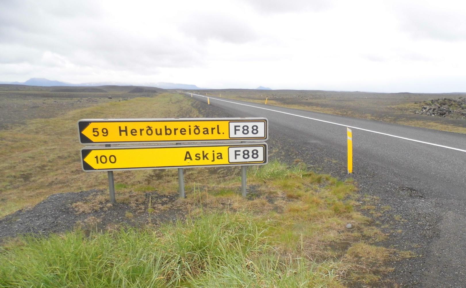
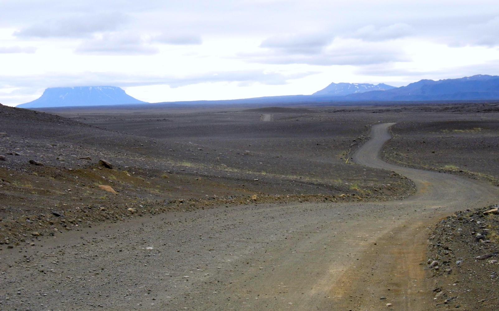
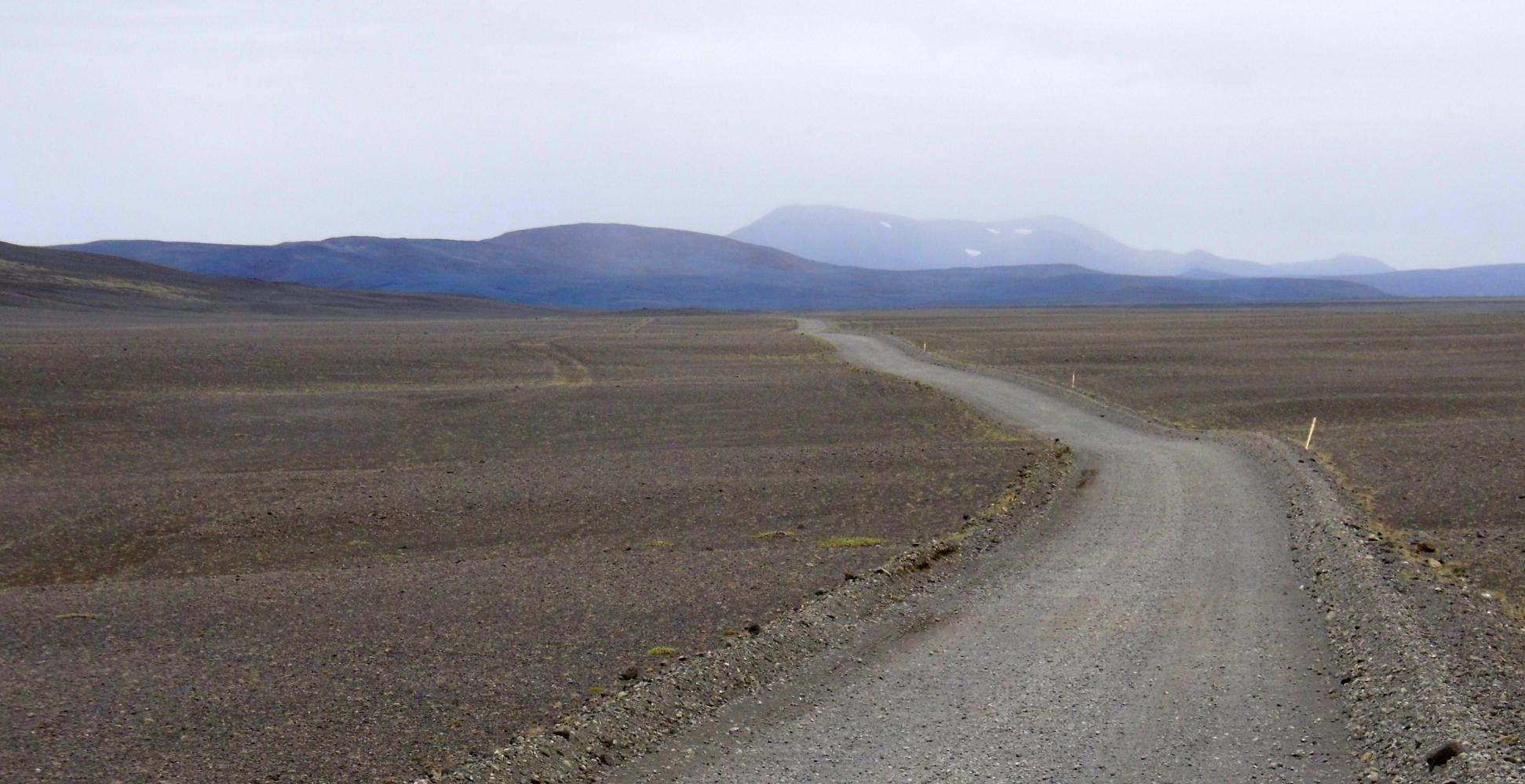
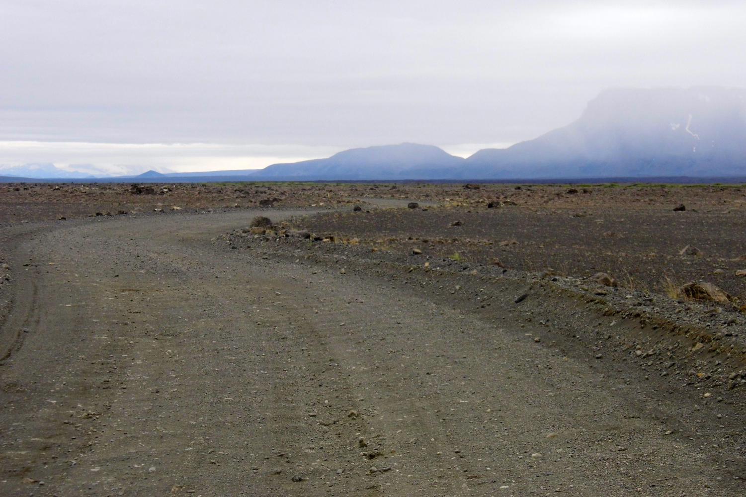
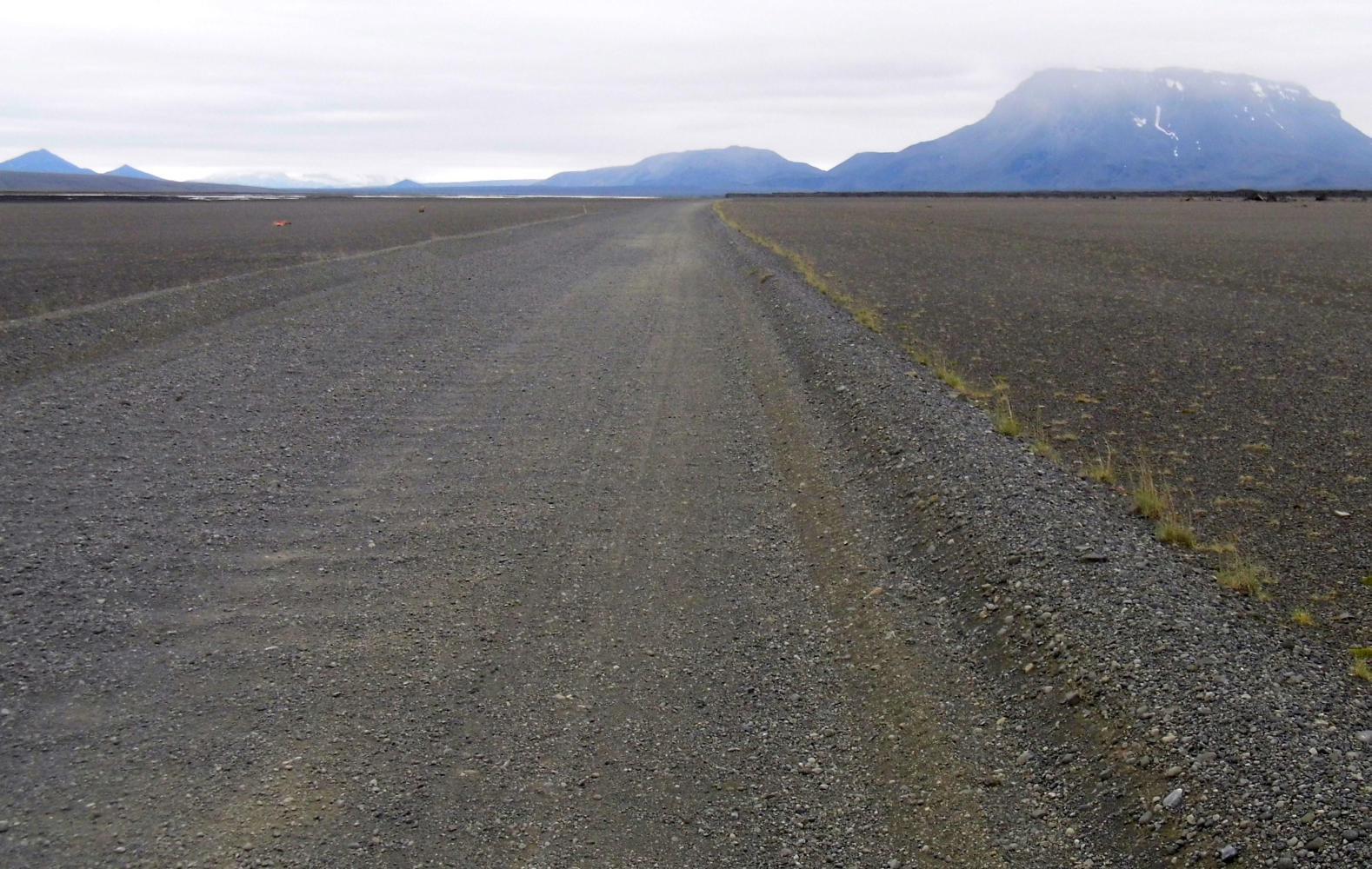
About thirty-five kilometres east and feeling cold in the sharp crosswind as the rain got closer, I came to the turnoff F88, a track which was very rideable at the start; past the huge block-shaped lava formation called Hrossborg (Horse fort) with drift of black sand up against it. Soon though, the track was through loose sand, though, sections were somehow compacted and find to ride upon, while other stretches, Is off pushing. And so, it was a long afternoon with extremely slow progress, as the track twisted and turned in all directions with Mount Herdubreid ahead crowned in cloud.
At five o'clock, I climbed up over Midafell, dropping down the other side close to the wide braid of sand-bars and soft hum of the waters of the Jokulsa a Fjollum river. Then came the first river fording, a non glacier river with a waterfall just up stream. I got off and pushed into the water and through the ten to fifteen metre wide channel of icy water which came up to above the knee. It was gladdening to see the track uphill for a bit the other side so I could get warmed up quickly.
The hour between six and seven, then eight was very slow going as the track now negociated it's way up and over a cracked bubble lava field just to the east of Herdubreid. Then I met a breakdown-truck whose driver warned me "you most be careful of the water ahead". "Water!" I said. "The river" he said more forcefully "take all those bags off the bike when you're crossing."
Just around the corner of high lava, the track dropped down to that river with a cautionary yellow sign for drivers. At that moment two jeeps had approached the opposite ramp-down and after a pause, the first came on with a great plopping crash into the water and labouring engine as it ploughed through and across then up pass me. Then the second came, plop-splush. The breakdown man was right, all the bags would have to come off. I waided through first with the two rear-panniers: the deep end came most of the way up my leg and I'd to watch the currant. It took two more crossings for bags and a forth for the bike.
A kilometre or so further I reached the tourist cabin at Herdubreid and the ranger's hut with a smoke from the stove-pipe. The thermometer outside the door read two degrees. I opened the door and entered. The warmth of the stove hit me and the smell of food as the ranger was at dinner. I paid the twelve hundred for camping and said it's very cold, then asked what the weather was for tomorrow. "It's a little better than today. A little rain" she said. "Rain!" I said alarmed. Great.
Today's ride: 92 km (57 miles)
Total: 3,587 km (2,228 miles)
| Rate this entry's writing | Heart | 2 |
| Comment on this entry | Comment | 0 |