May 20, 2016
Ghost Towns: Junction of routes B500 & 5 to route 25-km34.
| Heart | 0 | Comment | 0 | Link |
| Heart | 0 | Comment | 0 | Link |
Beer on the roadside. Yes, someone kind passed and seeing me cycle, pulled in on the shoulder ahead unseen by me and left a Corona beer carton with two empty bottles and a full untouched bottle. I assume my good samaritan thought I've had enough of Mexican beer. That bottle I didn't drink will be much appreciated by that cyclist. Maybe that's what happened. True or not, I will never know.
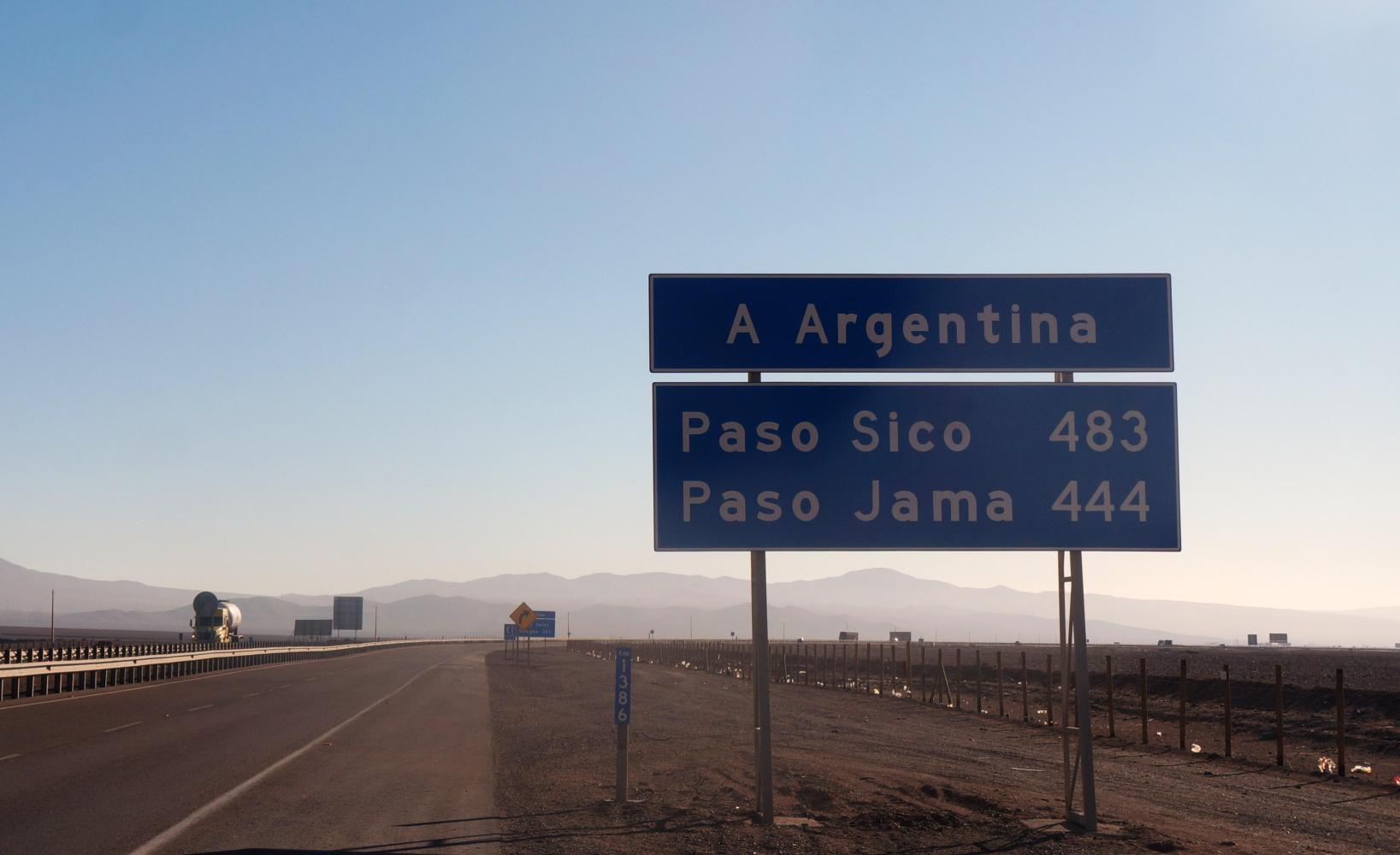
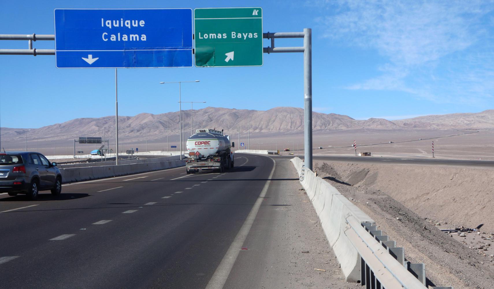
The day starts in normal fashion. I break camp and its a few hundred metres back to the road, which I ride as it is gritty compressed black sand. Then there's four kilometres downhill gradually levelling out before joining route 5. This would be my final day on the main north-south road of Chile, whose full name is "Carratera Pan Americana", as in the afternoon I'd continue on another road toward the city of Calama.
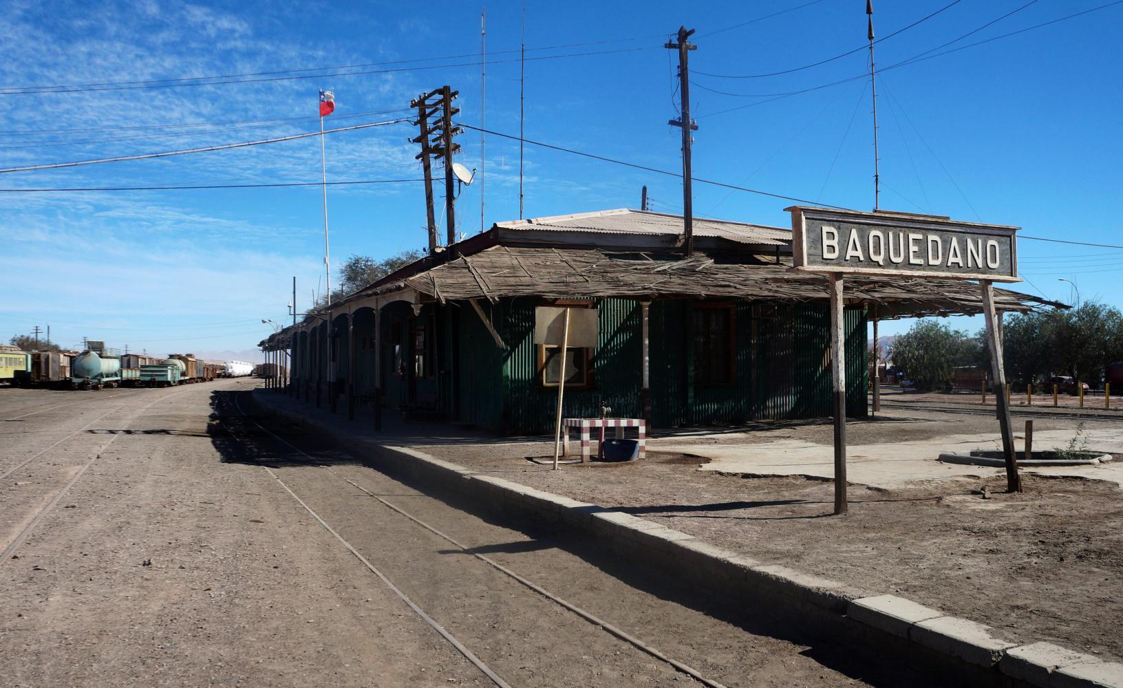
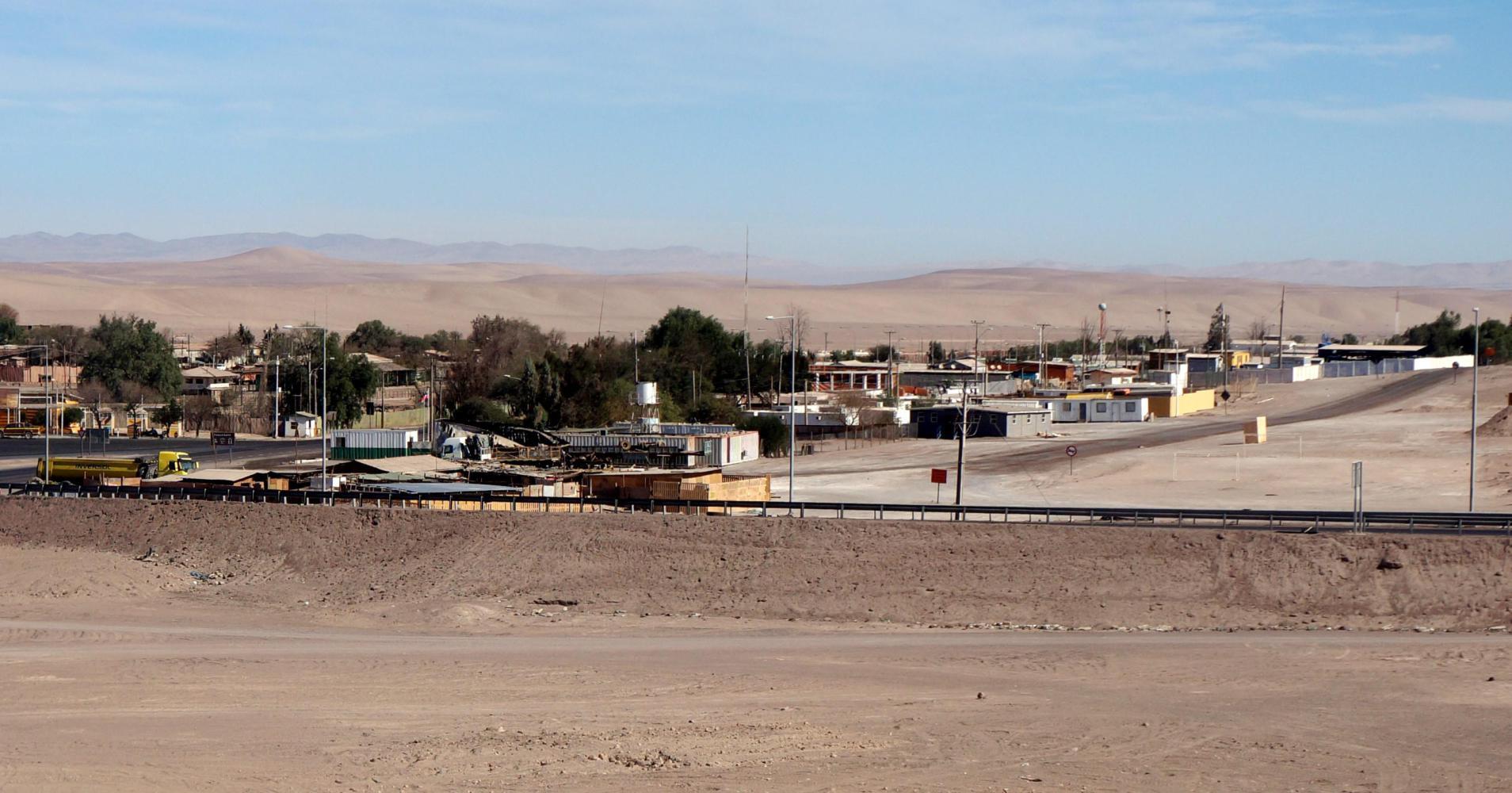
Even though it is late Autumn here, the days really warm up shortly before noon and it can be extremely sticky during the afternoon. So I reach Baquedano, 45 kilometres on from the junction where I joined 5, about noon sweating and feeling dehydrated and am glad to stop at the first shop for cold from the fridge fluids.
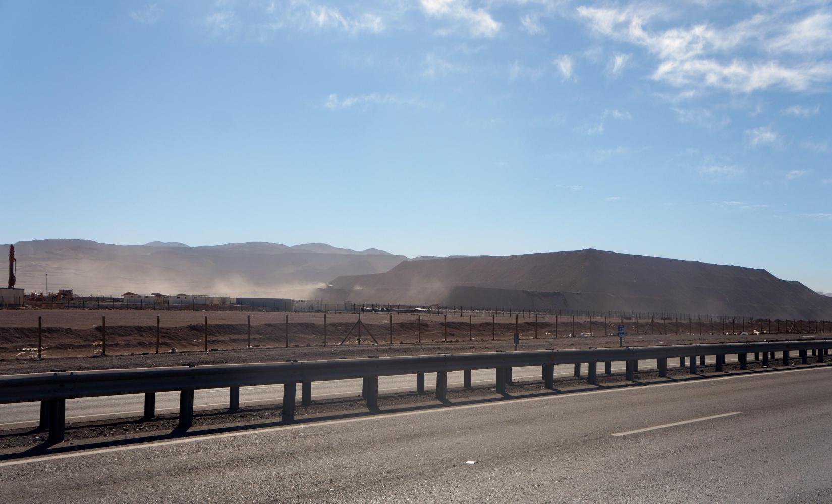
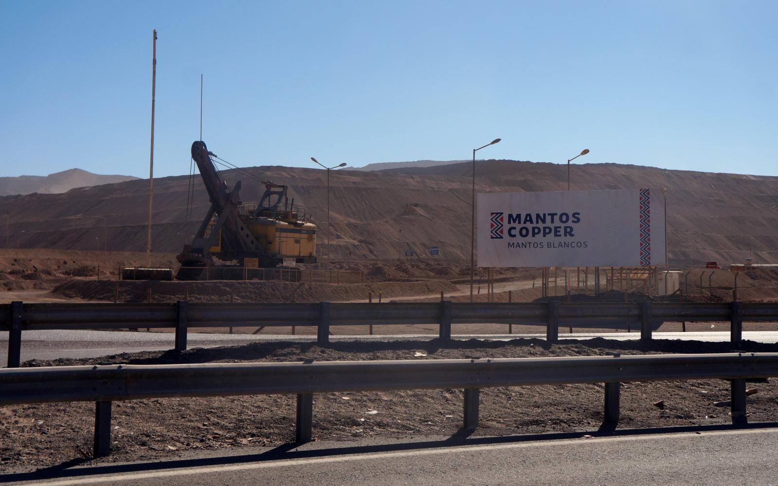
Baquedano. Would think its pronounced Ba-kay-dano. A long single street with row of houses along one side and row of trees on the other side separating it from parallel rail tracks, which followed the road all morning and carried slow moving freight trains with frequent station stops by mountainous spoil heap copper mines, which made up many kilometres to the left of the valley this morning.
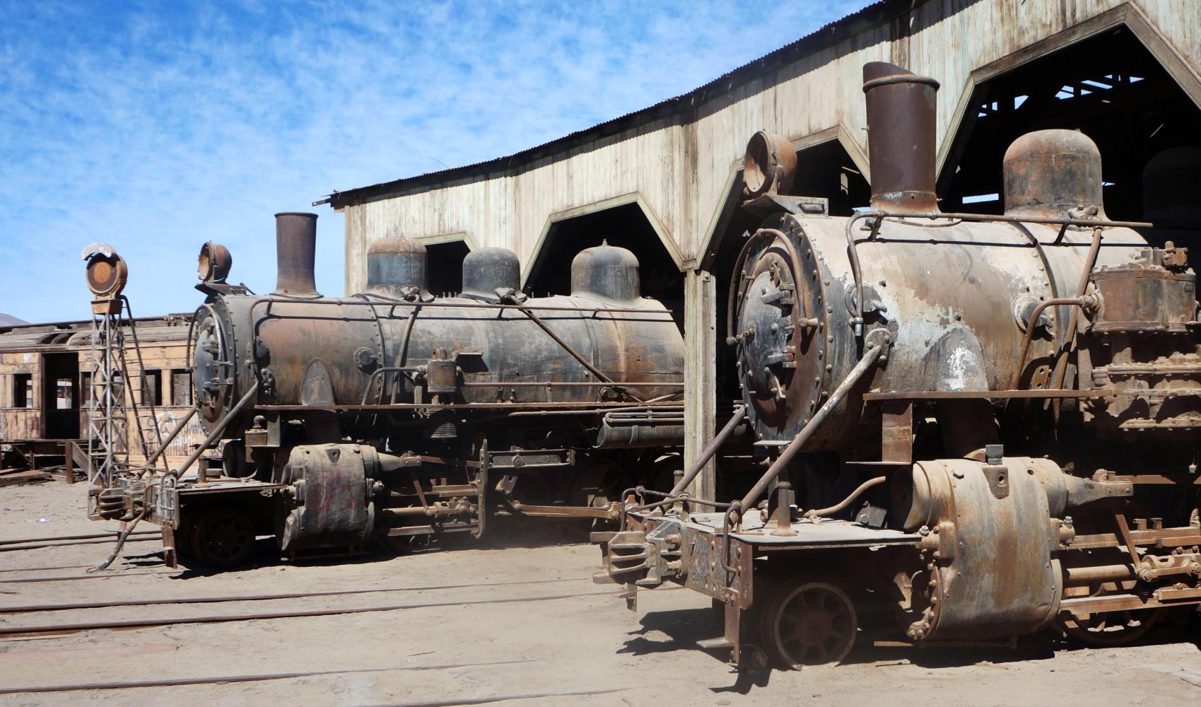
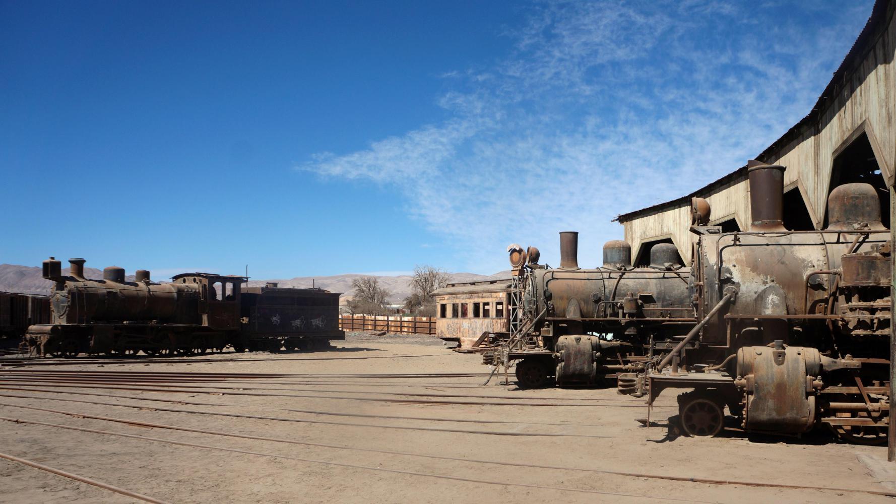
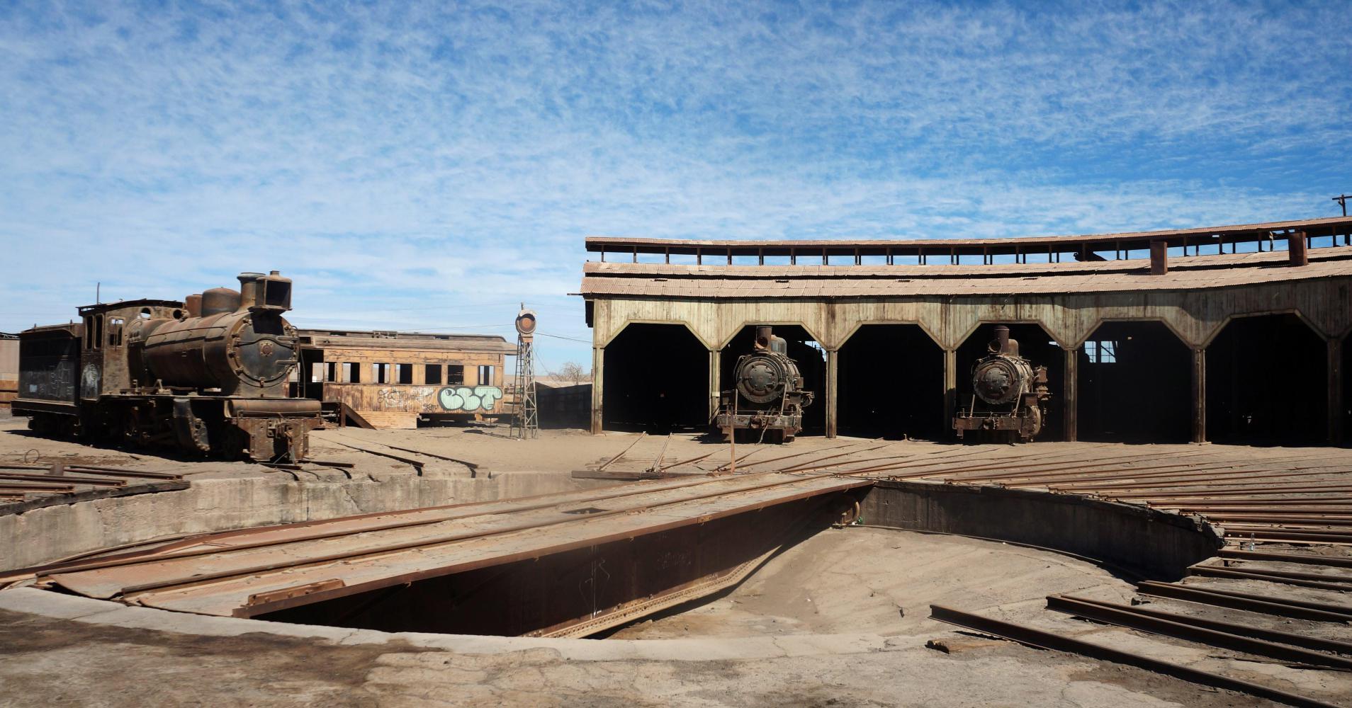
There are quite a few smalls shops to pick up snacks, like a 2L bottle of coke to quench the afternoon thirst, and a posada, where I have a charrasco (steak) and mixed salad lunch. There's also a railway museum, headed in the leaflet I got from the tourist office in Antofagasta "How the railway overcame the challenge of the (nitrate) Pampa" which I visit afterward, expecting to go into an old rail building with loads of old photos on the walls showing the nitrate mines a hundred years ago, but no, All there is, is a locomotive graveyard. Well, a circular train shed round the circumference of the yard underneath which, rest locomotives halfway inside, half out, on rails leading out to a central turntable, like spokes to a wheel hub.
| Heart | 0 | Comment | 0 | Link |
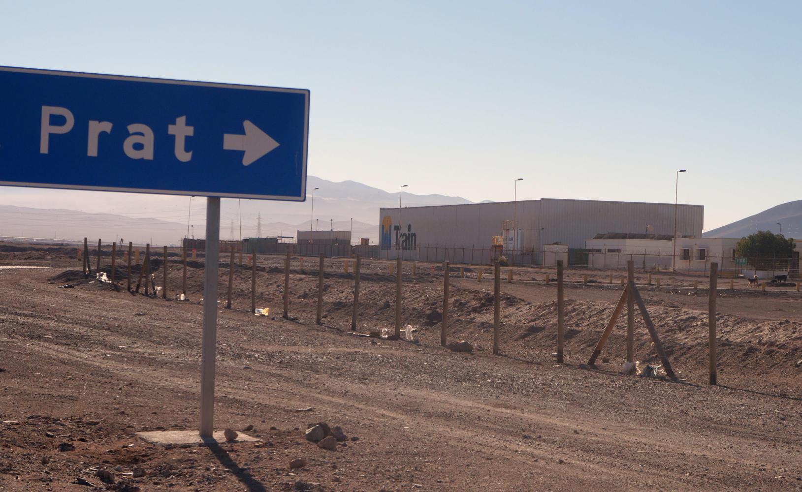
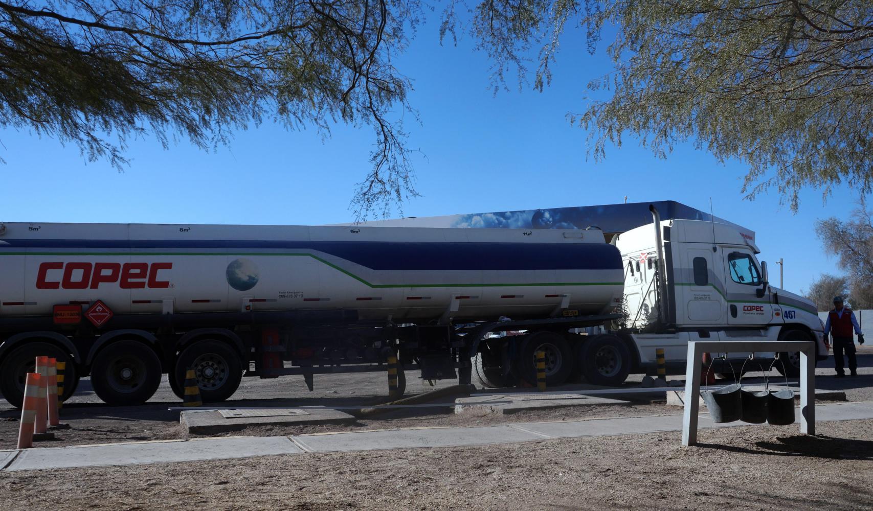
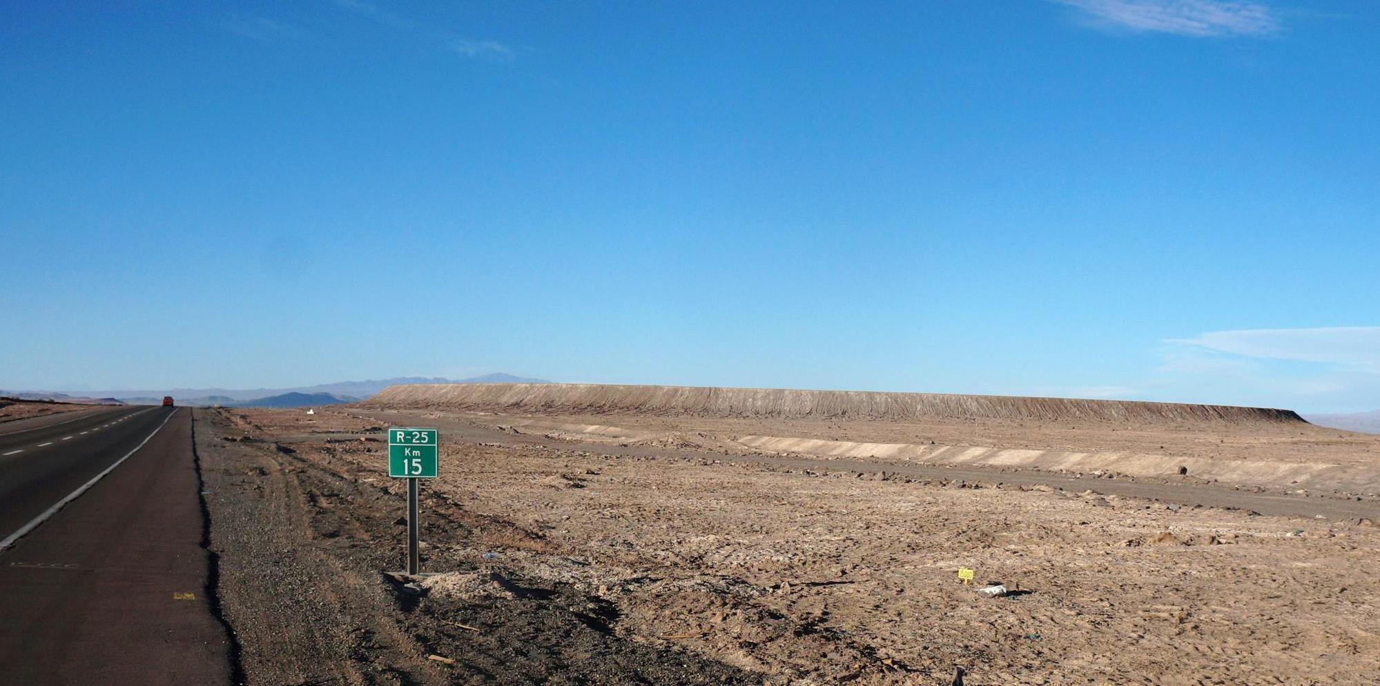
I reach a fork, where route 5 veers left and route 25 for Calama continues straight in time for an afternoon stop. There's a Copec petrol station here with a tree shaded picnic area, where I'm glad to rest and gulp down half the bottle of coke.
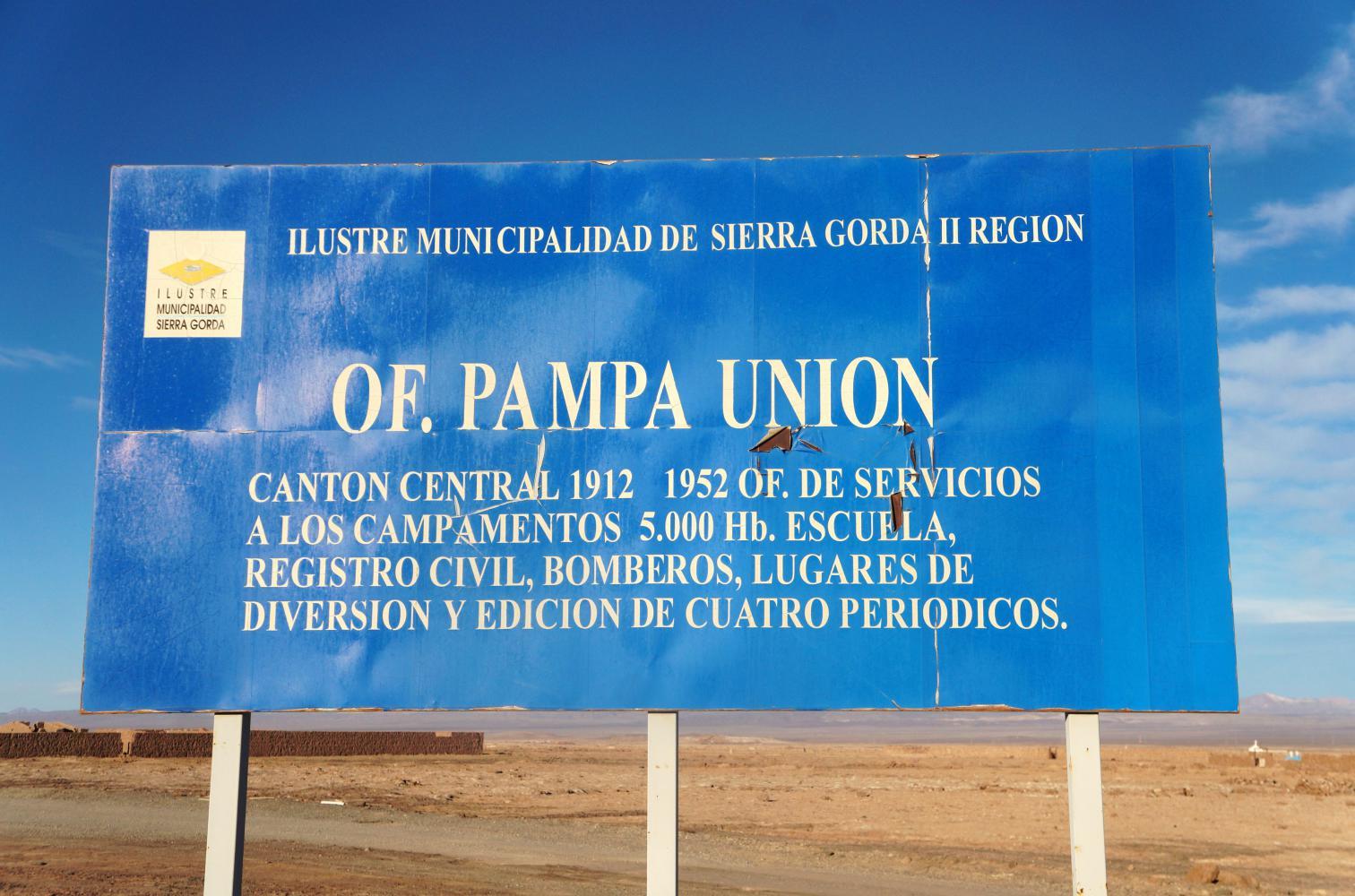
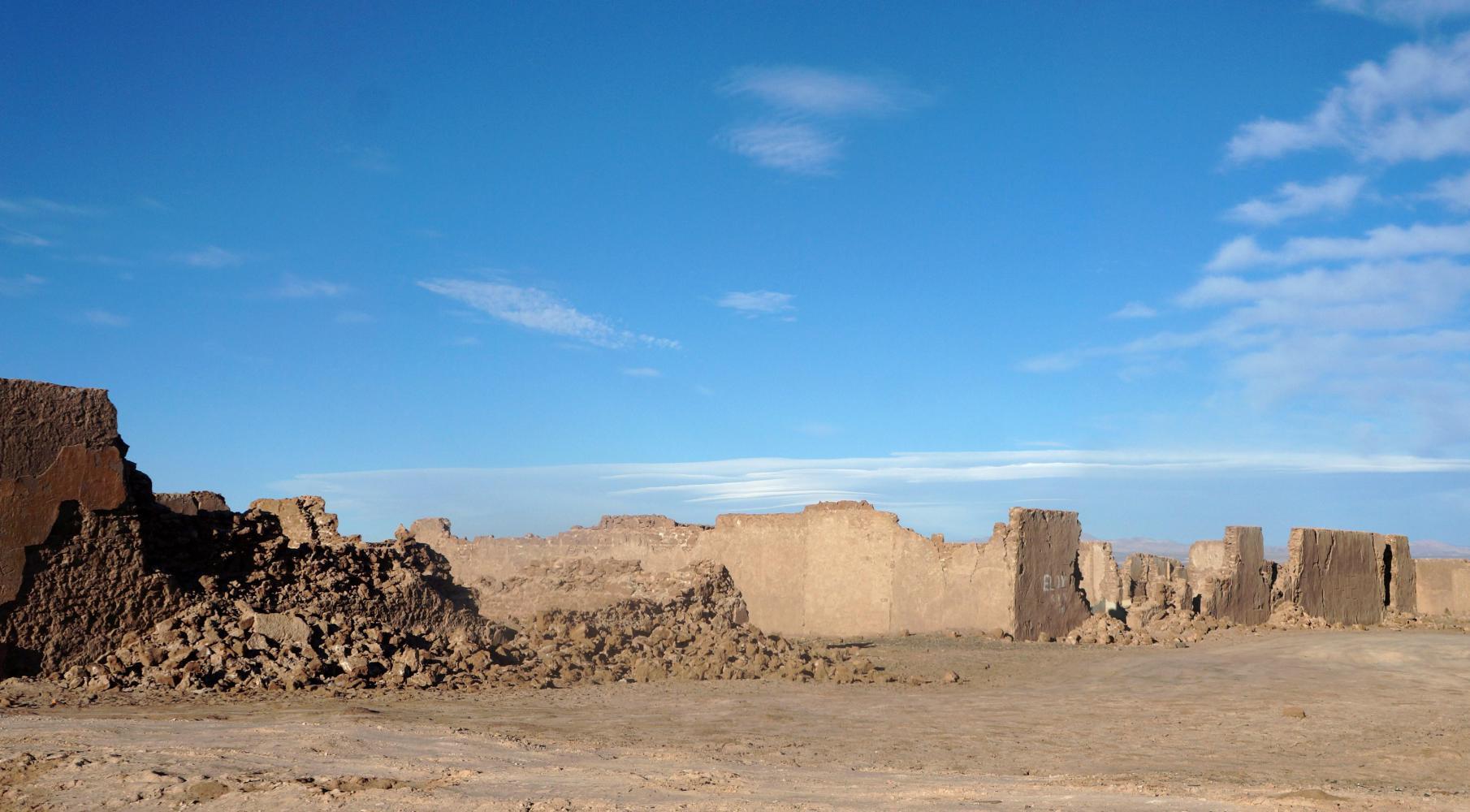
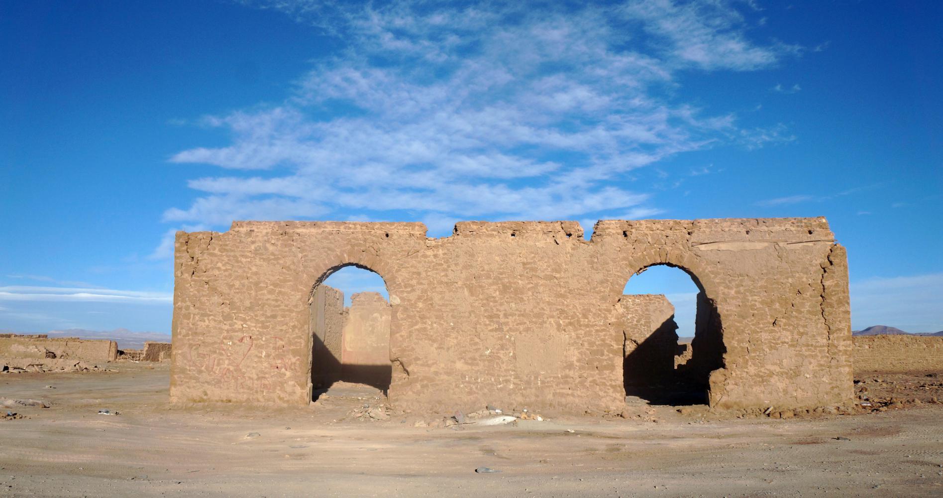
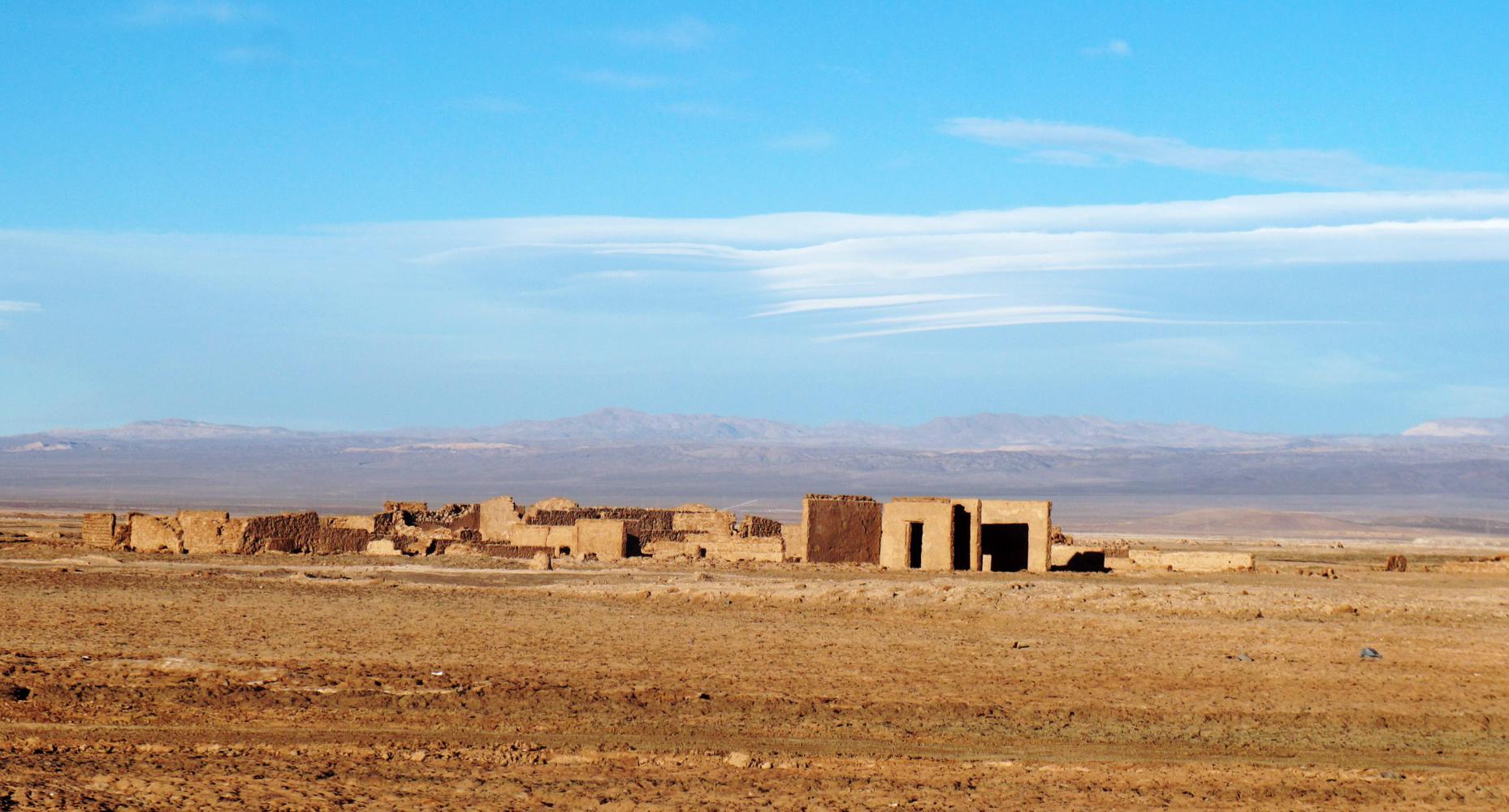
On the road on for Calama, there are earthworks and walled ruins from the nitrate mining era. Most are a distance from the road, except for Pampa Union, which is right by the road. There's a sign saying there was a permanent population of 5000 inhabitants lived here between 1912 and 1952. There was a school, a registry office, a fire station, café and places of entertainment and even a newspaper. Now there remains tumbledown adobe walls.
A bit further the hitherto smooth paved shoulder abruptly ends and there's a sign saying "Berma en mal estado el proximo 30km" So the shoulder is unpaved the next 30 kilometres. To ride on the road is dangerous. The traffic a mix of cars and mining trucks is constant, it being the Friday evening rush. The loose gravel shoulder that continues is difficult going. But, there's a gravel track a little in to the side, which I resort to; a bit rough and slow going, but safer than the road.
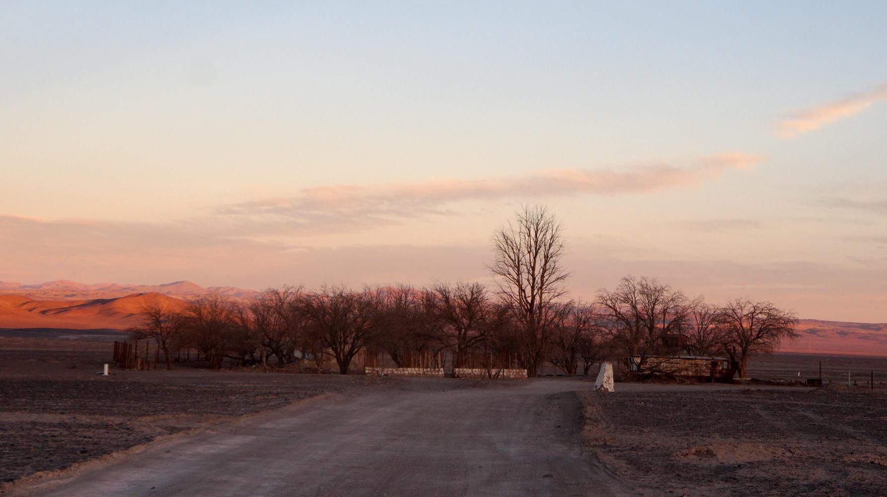
I had been planning on stopping when I had covered 112 kilometres for the day, which would mean km35 on this road. The track though had slowed me, and it is sunset when I halt at km34, seeing a track off in a few hundred metre to a rectangle of ruins with dead trees, which look the ideal place to camp.
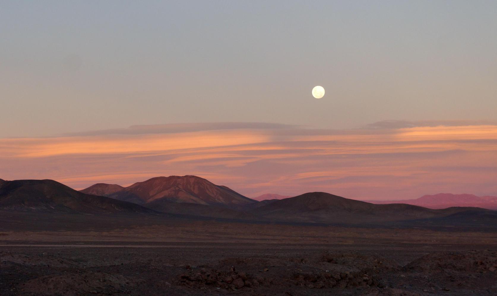
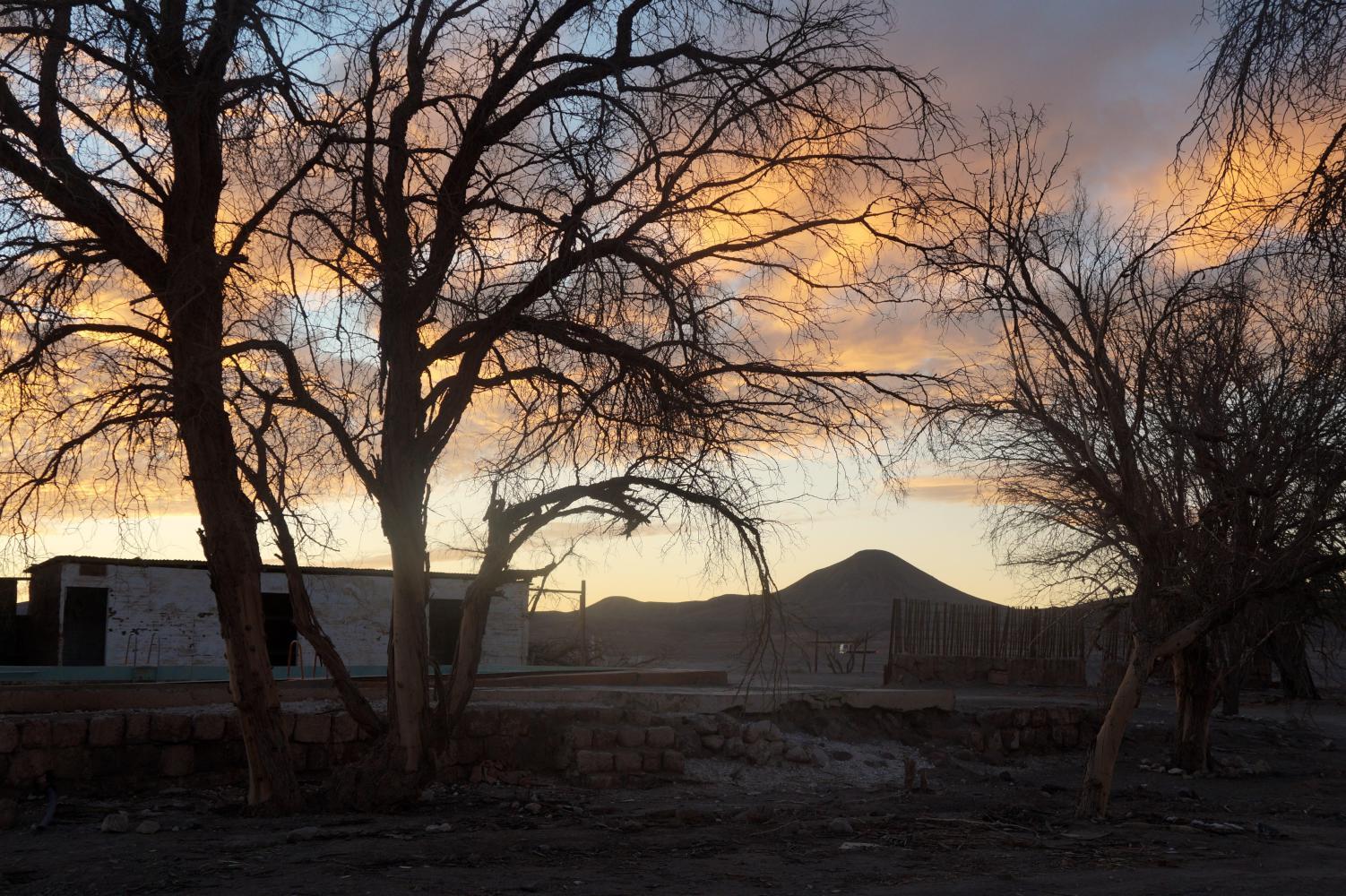
Arriving in the rectangle old homestead, there's a row of outhouses at the head of the track, then surprisingly a swimming pool. A ladder fitting is rusted and the empty basin once blue is grime encrusted, looking as if it hadn't been in use for fifty years. The other side of the pool is a base where a large house once stood, so I reckon this was a mine managers property. On the inside of the garden where a track leads further to the walled ruins of a mine village, is another outhouse and inside I find a table upon which is a visitor guestbook, so the place must be on the nitrate ruin tourist trail. Anyway, having flicked through the pages, I come back out and select to pitch the tent by the side of this outhouse, it now nightfall, though there is a rising full moon, providing enough light without my head torch.
Today's ride: 112 km (70 miles)
Total: 10,157 km (6,307 miles)
| Rate this entry's writing | Heart | 0 |
| Comment on this entry | Comment | 0 |