Well-rested, I ate my granola and was on the road at 8:15. Then I stopped to take my first photo after riding less than one kilometre. It was chilly, with Garmin telling me 6 or 7 degrees, but I knew there was a climb coming and I’d be warm. Sure enough, not 15 km into my ride, the road tipped upward and I pulled into the first viewpoint to divest myself of my jacket and headband and take some photos. Up it went, but it wasn’t too bad in the cool temperatures and soon I’d arrived at the Columbia Icefield Centre, which I think is new since I visited here with Al and our boys in 2005. Best of all, it was just coffee break time. I selected a pack of gingersnaps as the best of the limited snack options and asked the cashier if there were any espresso drinks available. No, just drip coffee, she said. So I had a $4(!) drip coffee with my cookies, while I checked email and sent a birthday note to my son using the very slow wifi. When I left, I walked past an outdoor espresso kiosk...
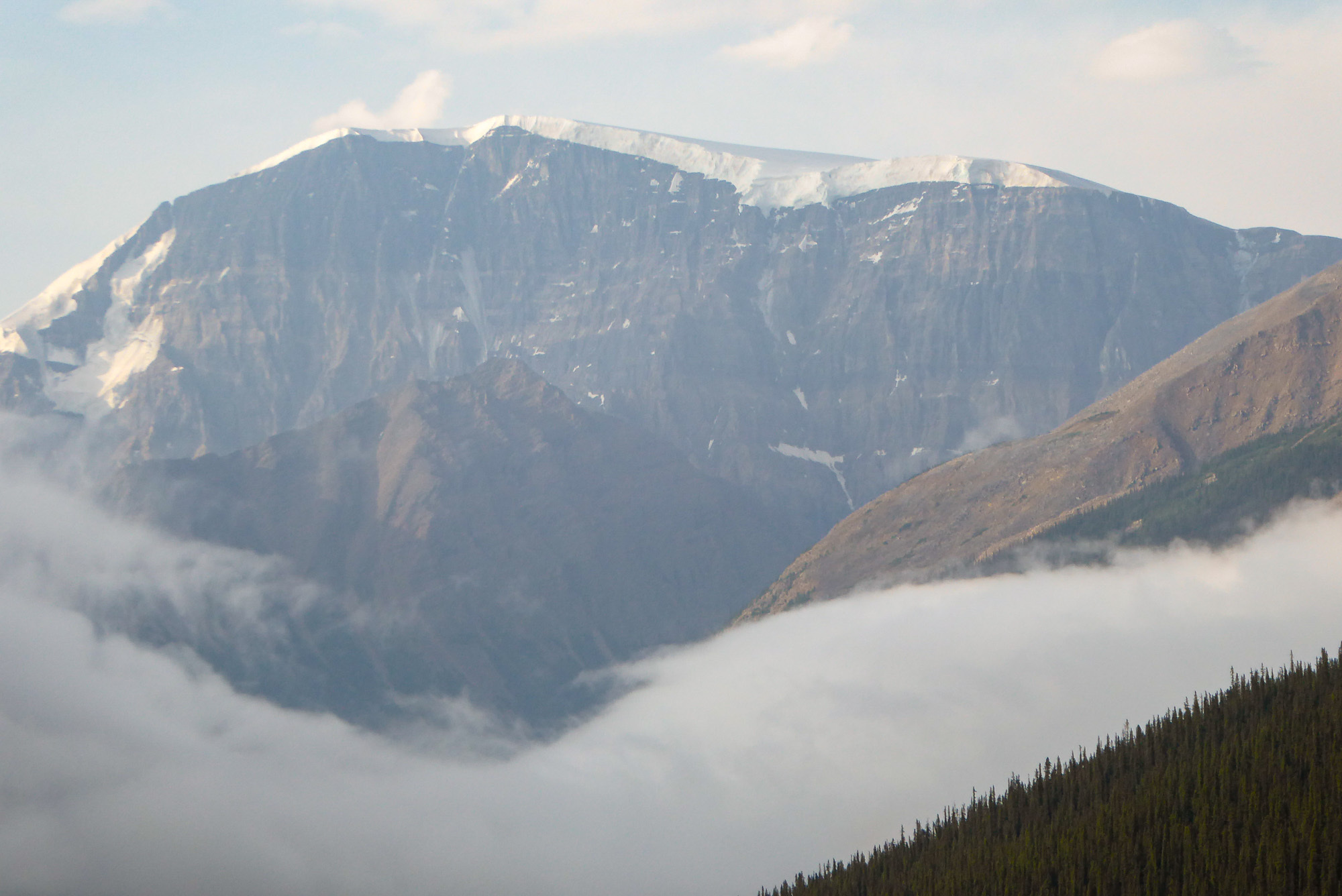
The early morning view. I didn't get very far before I got my camera out.
Jacquie GaudetSomewhere I have a collection of postcards of the Athabaska Glacier that really shows the changes through the years. Reply to this comment 5 years ago
It wasn’t much further to the top of Sunwapta Pass, though the road continued with an upward gradient for a noticeable distance after the official pass marker cairn. One side of said cairn stated that this road had opened in 1961. I assume this refers to the newer road, not the original built in the 1930s, of which vestiges are still visible.
The cairn marks the top of Sunwapta Pass, the (current) border between Jasper and Banff National Parks. The plaque on this side says "This highway was officially opened...August 3, 1961." But the original Icefields Parkway was built as make-work project during the 1930s and its traces can be seen in many places from the new road. I was looking, but I didn't see the part that fascinated my brother and me when we drove this route in the early 80s.
From the pass, it was mostly down and along to the hostel, where I arrived very early, around 2. I wanted to get there before any thundershowers! I haven’t had the opportunity to update my weather forecasts, but I remember them being the same for each day, increasing heat then showers in the afternoon and cool overnight.
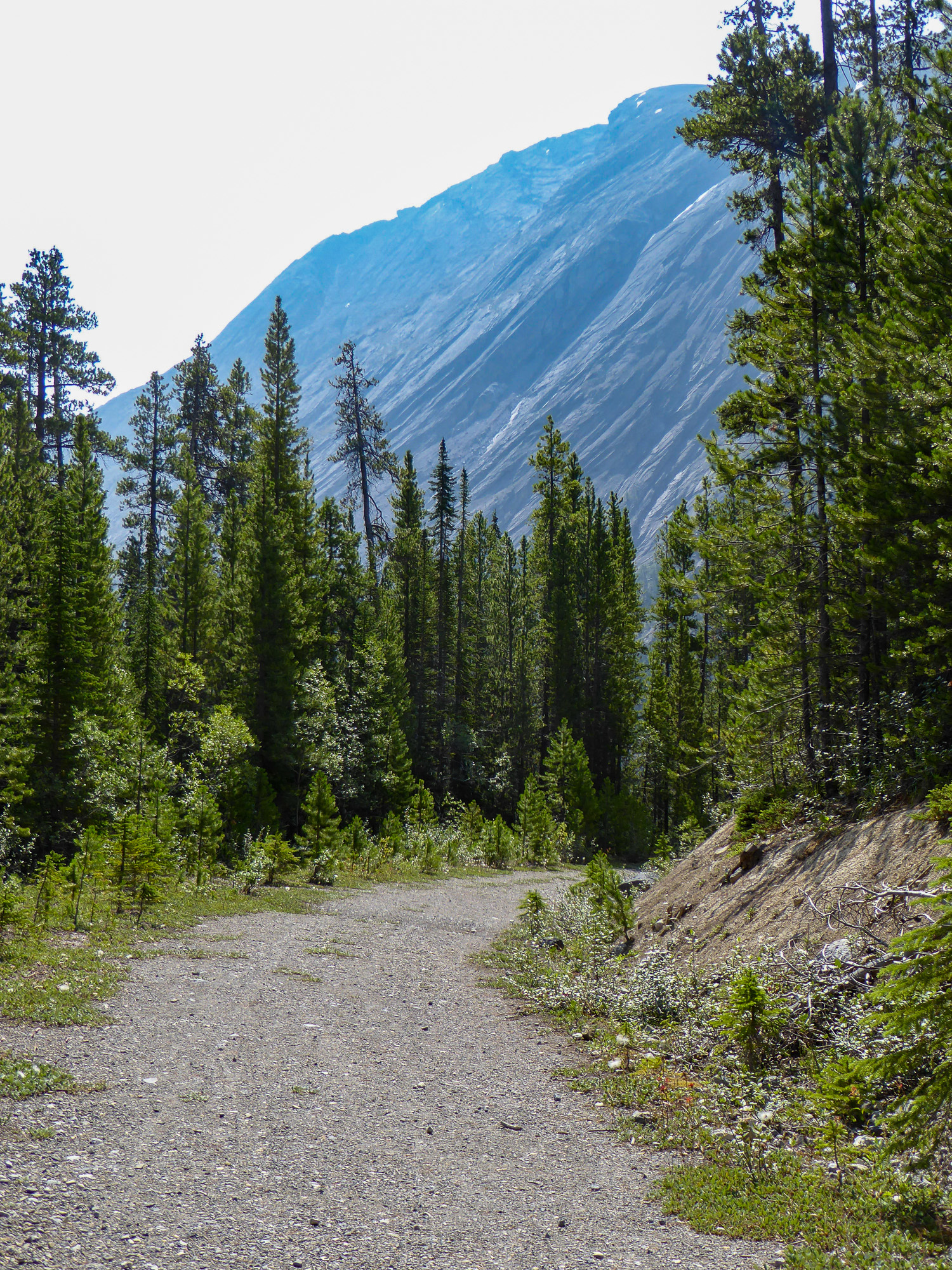
I liked the rock formations but a clearer day would help with photography (along with a better camera)
Descending south from Sunwapta Pass, the road makes a hairpin bend on a large flat area. You can walk across the flats to see a canyon this river emerges from, then it parallels the road for a bit, then it disappears...
What I suspect is a remnant of the original Icefields Parkway crosses the narrow deep canyon on this concrete arch bridge. This view is looking back toward the modern highway.
Lars, the manager, saw me and let me in early. I put my food in the fridge and kitchen (no food anywhere else, no eating outside due to the bear ing the area) and set up my bunk (having learned that pillows, sheets, and blankets are provided to prevent visitors from using their own bedding. In fact, it’s required that guests do not use their own as a method of control (of feathers, he said, but implied other things also). Hostels have certainly changed since the 1980s!
Everyone else had arrived by car, with lots of food and drink. I was given a peach and a glass of wine, both of which I greatly enjoyed. I wasn’t the first to eat dinner, but I was first to retire. It would have been nice to sit around the fire with the others but I wanted to ensure an early start. The wifi had been turned on for an hour or so, ago I updated my weather forecast. It hadn’t really changed, still a chanced of thunderstorms tomorrow afternoon.