June 28, 2011
Day 59 Winnipeg to Roseau River, Manitoba: Pull over, slow down!
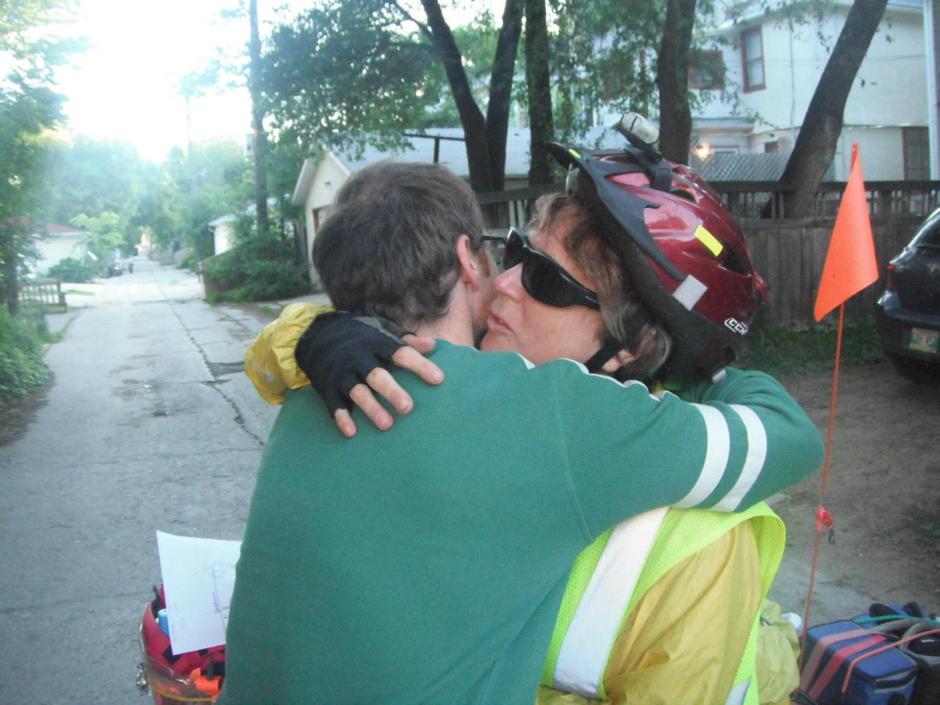
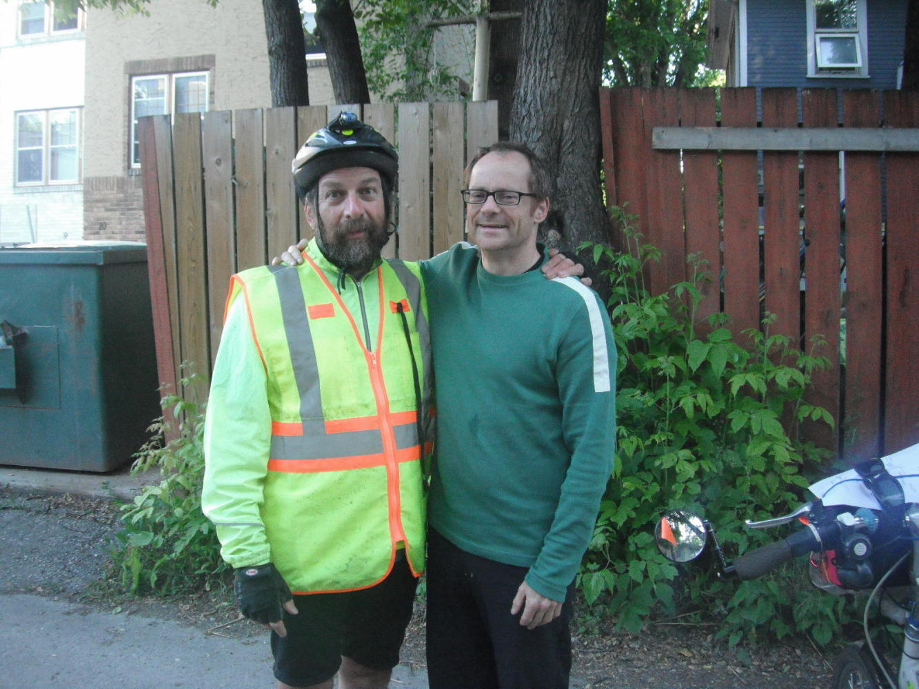
We said another fond farewell to Mark. He had made our stay in Winnipeg a really fun time! Mark sent us off with a carefully drawn map of the best way to leave the city. Right out of his alley we turned the wrong way, and Mark had to trot out to the street and point us the right way. Even if charged by Laurie with our care and feeding, just how far does he need to jog to make sure we reach Minnesota??
| Heart | 0 | Comment | 0 | Link |
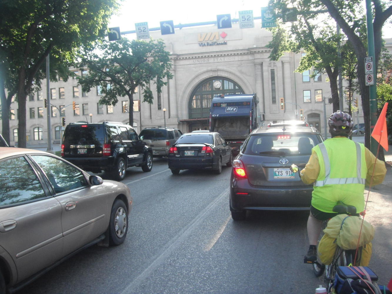
The city streets did contain traffic that we are not used to. Winnipeg is strange in that there are quite a few intrepid cyclists but almost no provision of bike paths or lanes. All you can really find is a few signs that say 'bike route'. All these really mean is that you are invited to take your life in your hands on this street rather than on some unsigned street.
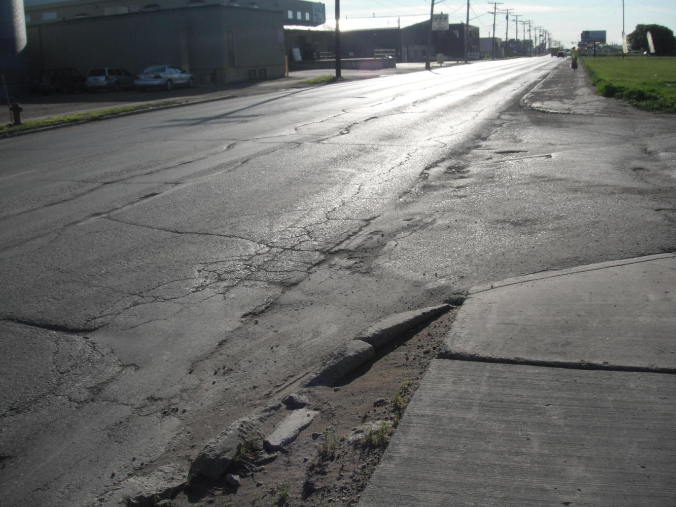
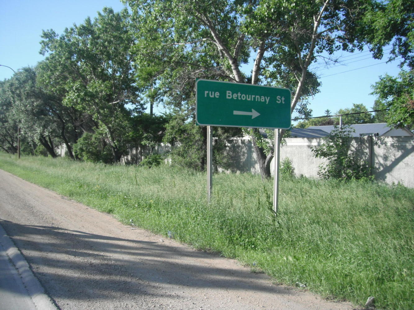
In the south end of the city, the traffic takes on a more sinister aspect, since again there are no paved shoulders. Also, both the sidewalks and roadway are broken and bumpy. We pass our old street, Betournay, and marvel that either we were tougher 40 years ago or the streets were less tough (or both).
| Heart | 0 | Comment | 0 | Link |
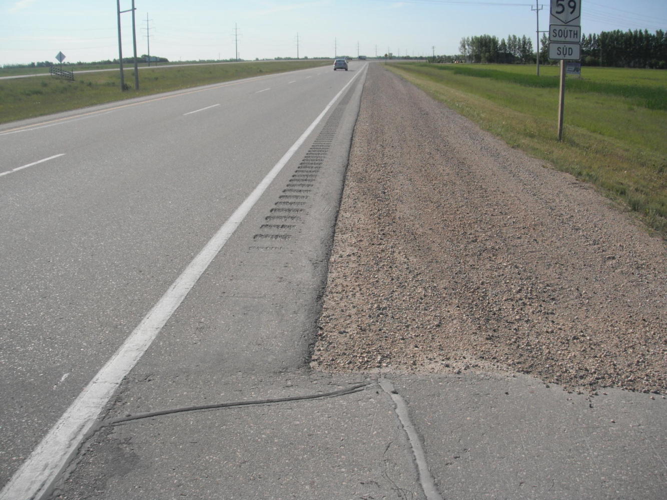
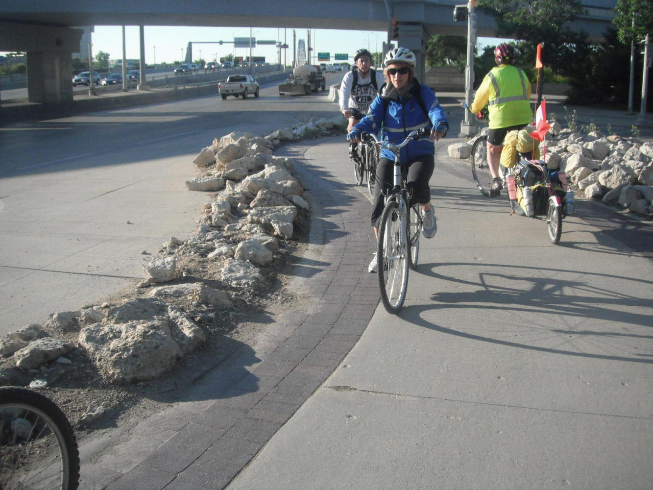
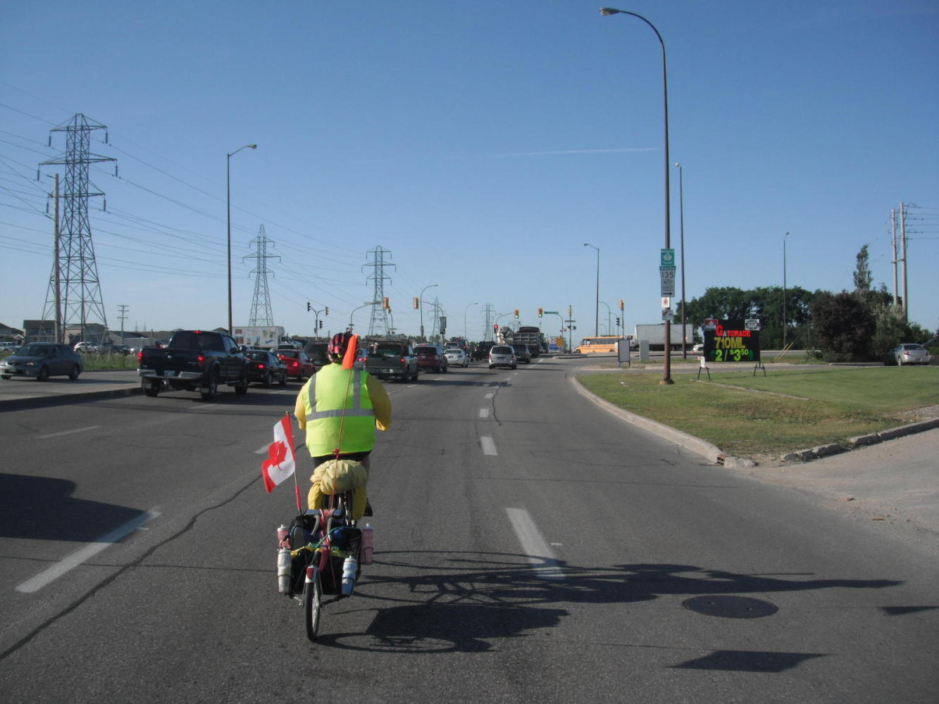
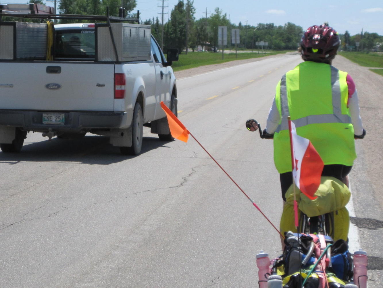
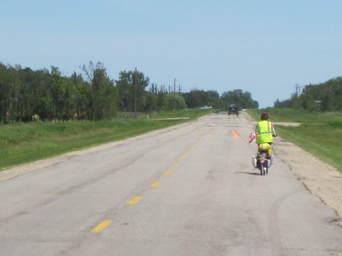
Once out on Highway 59 heading South towards Minnesota, the situation became even worse. The traffic was heavy and of course no shoulder. Trucks and cars repeatedly passed by us too close and too fast. We finally remounted our flags out sideways, giving us at least the illusion of getting more clearance. We also began to study the map to see if there would be a quieter route.
| Heart | 0 | Comment | 0 | Link |
| Heart | 0 | Comment | 0 | Link |
| Heart | 0 | Comment | 0 | Link |
At this point a pickup truck stopped opposite us and 'Peter' came over. Peter had been reading our blog! He lives nearby and said he would never dare ride hwy 59. He recommended we jump to a quieter road at the first opportunity. We agreed, this was nuts. Before we did jump over - just before the town of St. Pierre Jolys - a young woman came over to ask us the UQs. She too said that no one who wanted to live would take a bike onto 59. In Manitoba, there are few alternatives to such deadly roads. Unlike more progressive administrations in Quebec and Prince Edward Island (for example) the Manitoba government clearly cares nothing for cyclists or their safety. We recommend people avoid this place if at all possible.
The waterproof, dustproof, shockproof Fuji camera that we thought would be the answer to the tough conditions in my pocket turned out to be a toy. Not only did it take inferior pictures (lots of flare around light areas and generally low ability to deal with contrast) but its proprietary battery pooped out after 20 shots. By contrast, the Canon battery lasts so long we can safely forget about it for weeks at a time. So the Canon is back at risk in my pocket, while the lame but waterproof Fuji rides in luxury in the dry sack.
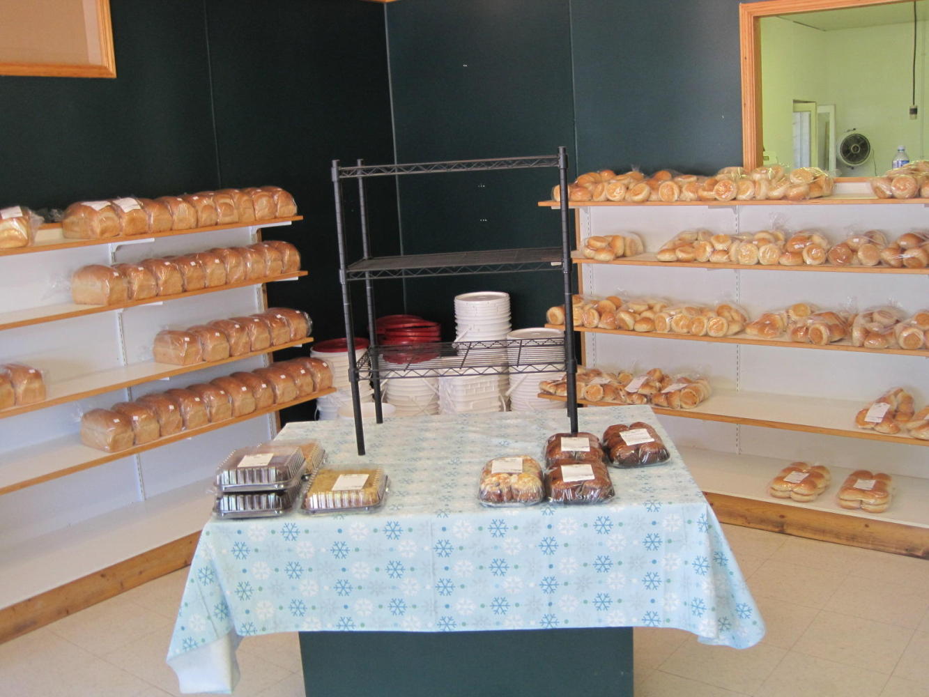
The slightly quieter way led by the town of Grunthal, which is just South of the major Mennonite town of Steinbach. We found a bakery in Grunthal and given the Mennonite/German background of the area felt it should be full of pumpernickel and rye breads and strudels. Instead it was mainly white breads and low grade sweets. What is wrong with rural bakeries all through the states and the Canadian west?
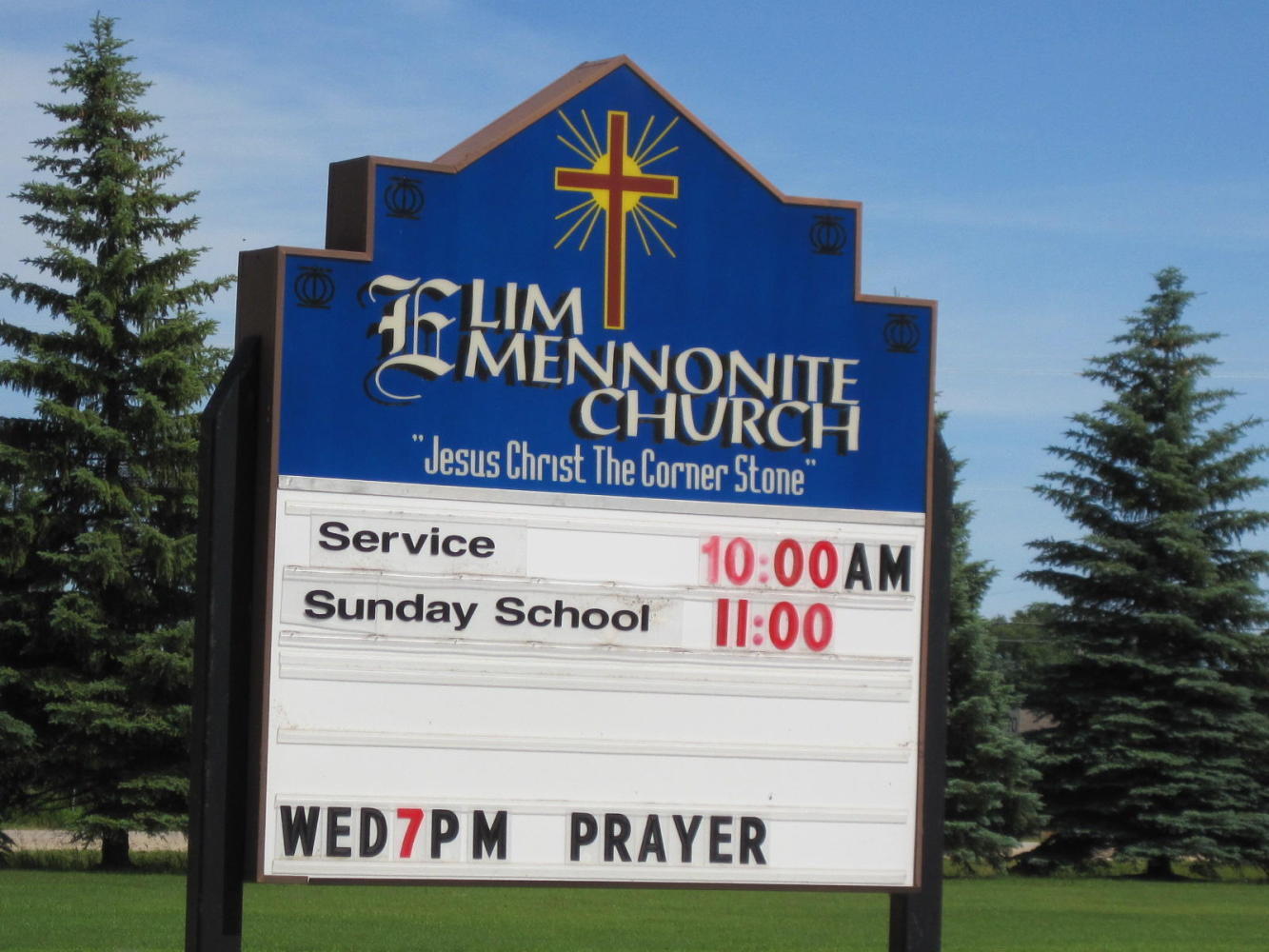
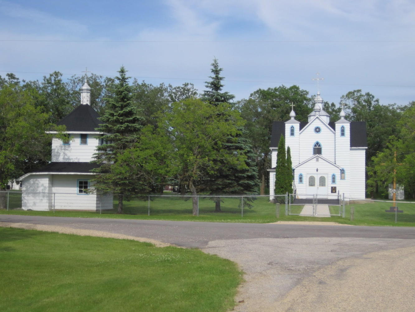
The headwind was very wearing, but we pedalled on looking for the perfect stopping spot. One candidate was the dot on the map called Rosa. There we found a Ukrainian centre and church that looked like good prospects. But finally at Roseau River there was a park with a covered shelter, washrooms with shower, and no one else around. The shelter was large, so our covered tent site benefits from five covered picnic tables! We are about 20 km from the US border here, so tomorrow we will of course cross over. We sure hope the Minnesotans were smarter than the Manitobans, and paved their darn shoulders!
Today's ride: 101 km (63 miles)
Total: 3,325 km (2,065 miles)
| Rate this entry's writing | Heart | 0 |
| Comment on this entry | Comment | 0 |