April 10, 2020
Down the Silvies River
Today’s ride begins again at the junction of Route 395 and the road to Izee - the same spot we began our ride up the Silvies River two days ago. Today though we’re going to ride Highway 395 ‘down’ the Silvies to Seneca, Silvies and beyond. ‘Down’ is in quotes because for the next 20 miles the river hardly descends at all: barely 200 feet, for an average descent of only ten feet per mile. Pretty remarkable for a river flowing this high up in the mountains, at 4,700’.
It is so flat here that the river more resembles a river crossing a broad valley floodplain as it follows a kinky, densely meandering course most of the way from here to its destination at Malheur Lake. Here’s a typical stretch of the river:

| Heart | 1 | Comment | 0 | Link |
And, the Silvies is unusual in another way. When researching this river, it took me awhile to find its final destination. Just south of Burns, fifty miles to the south from here, the river splits into two distributaries - the East Fork and the West Fork. The two forks squiggle crazily southward across a broad plain before emptying into Malheur Lake at a point about three miles from each other.
And, in case you wondered, this really is the final destination for the Silvies River. Malheur Lake has no outlet, except in high water years when it will overflow into neighboring Mud Lake and Harney Lake, both of which likewise have no outlet. These marsh-like lakes all sit at the bottom of Harney Basin, a giant enclosed depression larger than the state of Connecticut.
Anyway, back to today’s ride. It’s a typical Team Anderson out and back, with Rachael striking out ahead of me while I take my time with the camera. We’ll meet up down the road and then bike back to the car together. For the record, I’ll bike 41 miles today, the most since my injury; and she’ll best me by eight miles.
Video sound track: Wintersong, by Gerry Mulligan and Paul Desmond

| Heart | 2 | Comment | 0 | Link |

| Heart | 1 | Comment | 0 | Link |

| Heart | 7 | Comment | 0 | Link |


| Heart | 5 | Comment | 5 | Link |
5 years ago
5 years ago
5 years ago
I'm happy to see you out and riding!
5 years ago
It has been great to get as much riding in as we are. We’ve really landed in a good spot for the moment. How about yourself?
5 years ago

| Heart | 2 | Comment | 0 | Link |

| Heart | 3 | Comment | 0 | Link |

| Heart | 1 | Comment | 0 | Link |


| Heart | 2 | Comment | 0 | Link |
Twenty miles into the ride, Rachael shows up far at the end of a long, straight stretch of the road. We meet up and then head back to Silvies, where there’s a small park next to a one room schoolhouse. And nothing else. There’s no Silvies in Silvies.
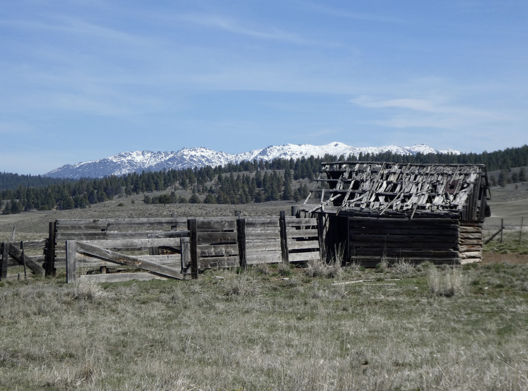
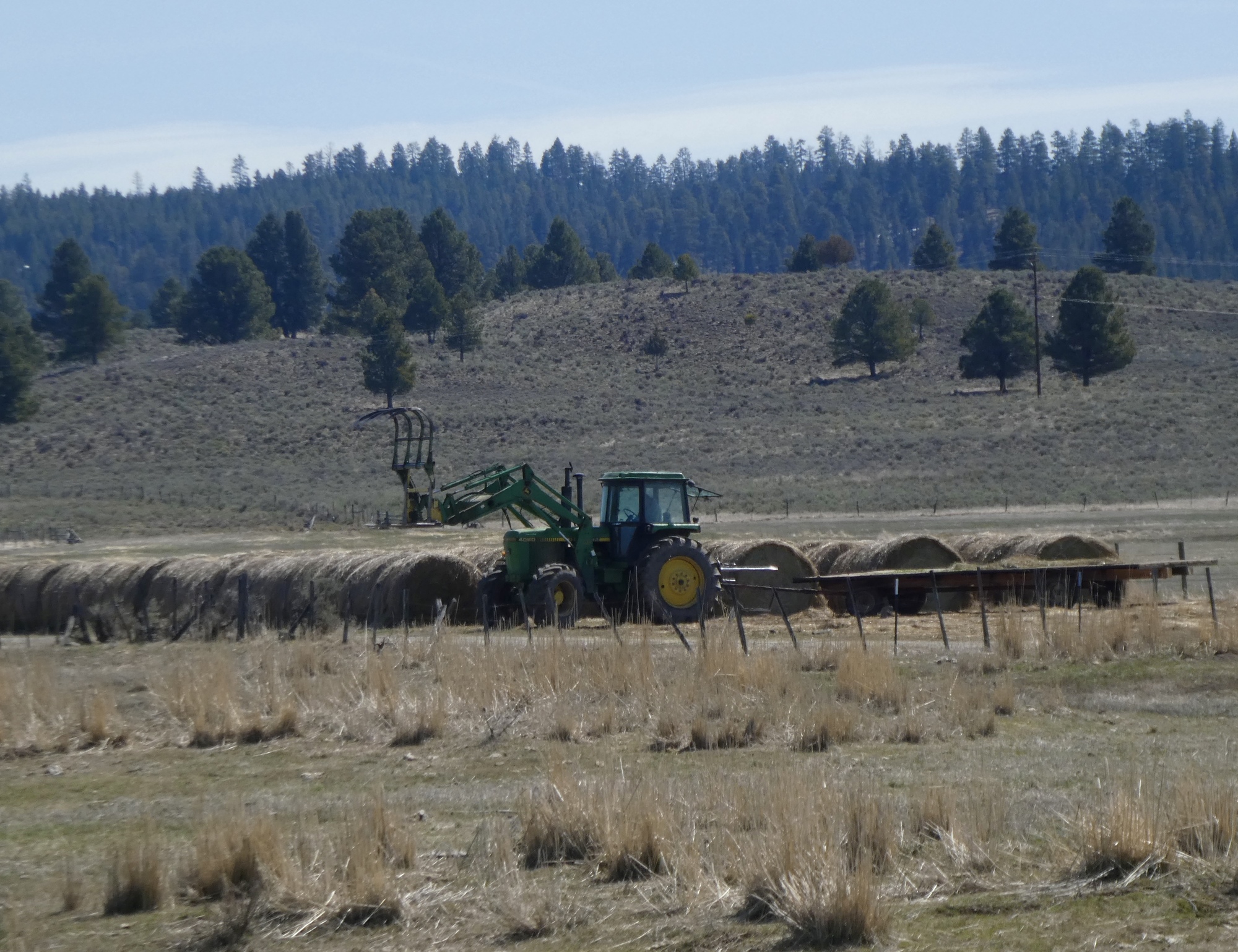
What there is though is one gigantic ranch, which we’ve been biking through for roughly fifteen miles. This is the Silvies Valley Ranch, and it’s surprisingly interesting and impressive. It’s history goes back into the 1800’s when this valley was much more heavily populated - an information board by the schoolhouse informs us that at one point the valley included about seventy ranches and three schoolhouses. Hard to imagine now.
Today though, Silvies Valley Ranch has new owners and is rebranding itself as an eco-resort. They’re investing heavily in habitat restoration and look like quite an appealing place. They’re a 140,000 acre working ranch with 30,000 head of cattle, 1,500 goats, a three star hotel with restaurant, and three golf courses. This valley is so vast that the commercial aspect doesn’t make a dent and is invisible from the road.
I’ve never been a golfer, but this place almost makes it look appealing. They boast having the world’s first goat golf caddies.

| Heart | 3 | Comment | 5 | Link |
5 years ago
Well maybe at the end of the round they could drive the goat over to Evans Oaks to snack on our blackberry brambles and insidious ivy?
5 years ago
5 years ago
So back to the ride. The return is just like the out, except that now we’re climbing at ten feet per mile. Oof! Oh, and biking into a 10-15 mph headwind for twenty miles. Oh, and being passed by a few more large trucks than we’d care to see on this unshouldered two lane highway. Oof, oof.

| Heart | 1 | Comment | 0 | Link |


| Heart | 1 | Comment | 0 | Link |

| Heart | 4 | Comment | 0 | Link |

| Heart | 1 | Comment | 0 | Link |


| Heart | 2 | Comment | 0 | Link |

| Heart | 2 | Comment | 0 | Link |


| Rate this entry's writing | Heart | 7 |
| Comment on this entry | Comment | 0 |