December 28, 2019
In Temecula: the De Luz loop
It’s crisp and clear at daybreak this morning, the temperature just above freezing. It won’t be warm enough for us to feel like cycling for a couple of hours yet, and isn’t expected to warm up past sixty all day. The weather is really different here in the interior, a thousand feet up and walled off from the coast.
We’re here in Temecula for four nights almost by accident, having originally planned to be here only a single night on our way back from the desert. When we dropped the desert from the tour though, we added two days here as a promising spot for day rides; and when we arrived we added one more because it looks like we’re due for another cold and wet one come Monday. Might as well just stay put here for that day and wait it out.
The loop I have picked out for today’s ride climbs back west into the coast range we just crossed yesterday, but on hopefully much quieter roads. I’m hoping to get up high enough to gain a good view of those mountains we got just a glimpse of when dropping into Temecula Valley yesterday.
We wait until 10 to leave the room, stop in at a nearby Italian deli to pick up a sandwich for lunch, and a mile later we leave town heading northwest on Rancho California Road. We cross small, nearly dry Temecula Creek and then almost immediately start climbing through a narrow canyon up the face of the ridge. A few miles later the road opens up at the top and we get the views I’d hoped for.

| Heart | 1 | Comment | 0 | Link |

| Heart | 3 | Comment | 0 | Link |

| Heart | 4 | Comment | 0 | Link |
So that was the main reason I wanted to come this way. I’d be pretty happy with just this, and suggest we coast back down to town and go back to bed. Rachael thinks we might as well see what else is up here as long as we’ve come this far though, so we cross through a saddle and drop off the west side of the ridge.
For the next twelve miles we bike west and down along the course of Sandia Creek. We lose sight of the snowy mountains immediately, but the views west and all around are just as fine. It’s a fantastic ride through rugged, high profile country, our downhill progress interrupted several times by short, punchy climbs. For mile after mile we bike through gorgeous cycling country, the best cycling we’ve seen since leaving Spain.
I don’t know if Sandia Creek Road is normally this quiet, or if we’re just lucky today - there’s a break in the road where short segment barricaded at both ends for a road repair project, so you can’t just drive through. I don’t think we’re seeing anything but local traffic today, which is ideal for us.
We finally bottom out at an elevation of about 300’, and pull into a small park to eat our lunch. Here, just north of the small town of Fallbrook, we’re finally starting to see a bit of traffic, and some walkers. We’re in a small preserve, the Santa Margarita River Hiking Trail, and the road by the trailhead is lined with cars.


| Heart | 3 | Comment | 0 | Link |


| Heart | 2 | Comment | 0 | Link |

| Heart | 3 | Comment | 1 | Link |
5 years ago


| Heart | 5 | Comment | 0 | Link |

| Heart | 4 | Comment | 1 | Link |
5 years ago

| Heart | 5 | Comment | 5 | Link |
5 years ago
5 years ago
5 years ago


| Heart | 2 | Comment | 0 | Link |

| Heart | 1 | Comment | 0 | Link |

After lunch I walk over to the park’s information board to study the map, and come away concerned. It shows our route entering Camp Pendleton just ahead, with (forbidden) in parentheses beneath its name. I hadn’t realized the base extended out this way and haven’t seen any indications on the road, so I google it and find a map of the base. It looks correct - we’ll cross a small corner of the camp, just ahead.
We wonder if we’ll have to turn back here and climb back up Sandia Creek Road with its 21% grade, but we might as well go ahead and find out for sure. We bike toward the camp, half-expecting to find a guard post after each new bend in the road. But it never comes. The left side of the road is fenced off and the scarred hills look like they might be worn from tank traffic, but there’s nothing more than that.
The ride continues great the rest of the way. After a two mile climb from our picnic spot, we drop again and lose it all before climbing once more, on long lazy ascent that will gain 1,300’ in a dozen miles. Along the way we’ll pass through more wonderfully diverse agricultural land, then a long and shaded live oak forest before breaking into the open again at the high point of the day. There’s a bit more traffic on this road, and most of it is as you’d expect - guy cars, pickup trucks, in a bit of a hurry. It’s still very low volume though, and quiet enough that you can hear a vehicle coming well before it arrives.
At the top, we get the same great mountain views we began the day with. It makes a great end to a really outstanding ride. I’ll bet it makes a spectacular spot to drive up and enjoy the sunset.

| Heart | 1 | Comment | 0 | Link |

| Heart | 5 | Comment | 0 | Link |
Video sound track: Air, by Jesse Cook

| Heart | 5 | Comment | 0 | Link |


| Heart | 3 | Comment | 0 | Link |

| Heart | 2 | Comment | 0 | Link |

| Heart | 2 | Comment | 0 | Link |
From the top, we drop down Rancho California Road again, the one we climbed up at the start of the ride. It’s a much different ride this time - fast and downhill obviously, but also quite cold. The sun has dropped below the ridge so we’re riding in the shadows now, and the day is cooling down fast. it’s a big relief when we finally bottom out, cross Temecula Creek and find the sun again. It’s still an hour until sundown, but we’re really glad we’re getting off the road before it gets any colder.
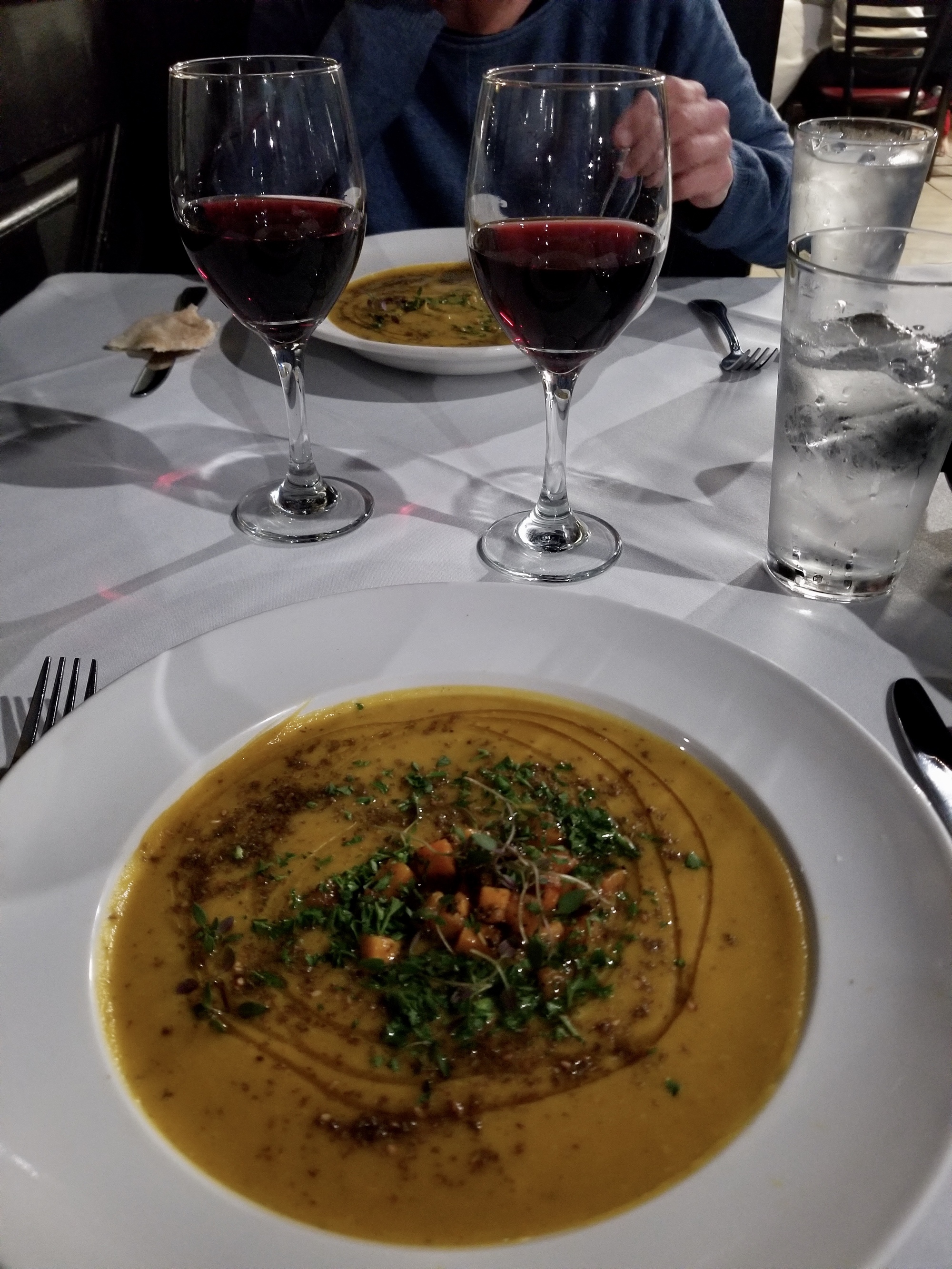
For dinner, we decide that the Thai restaurant can wait another night and opt instead for Soro’s, a Mediterranean place that features a mix of Greek and Turkish dishes. It’s a bit surprising how ethnically diverse Temecula is, but it’s easy to believe that Mediterranean immigrants would feel very much at home here - the hillsides today looked like we could have been biking in southern Italy.
| Heart | 3 | Comment | 0 | Link |

| Heart | 3 | Comment | 0 | Link |
Ride stats today: 40 miles, 4,000’; for the tour: 344 miles, 14,400’
Today's ride: 40 miles (64 km)
Total: 344 miles (554 km)
| Rate this entry's writing | Heart | 10 |
| Comment on this entry | Comment | 1 |