The rains haven’t quite left when we head down for breakfast but they will soon. It looks like we’re getting a dry but cloudy day for our last one here, so of course we’re both going out again. With an entire day that looks dry there’s time for something a little more ambitious. Rachael has mapped out another tor bagger for herself and I’ve picked another bike and hike, using the bike to get me down to a different part of the park we haven’t seen before.
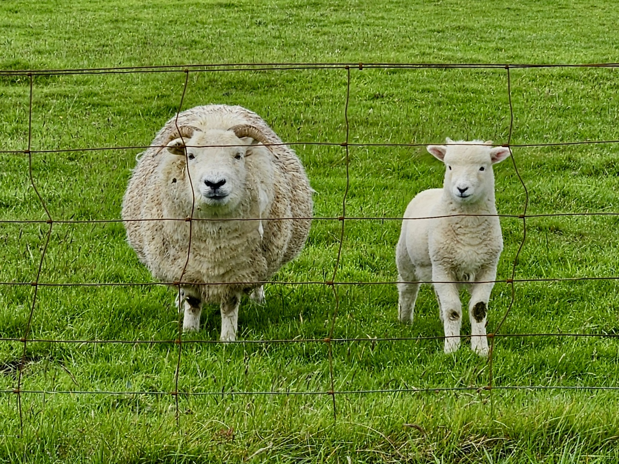
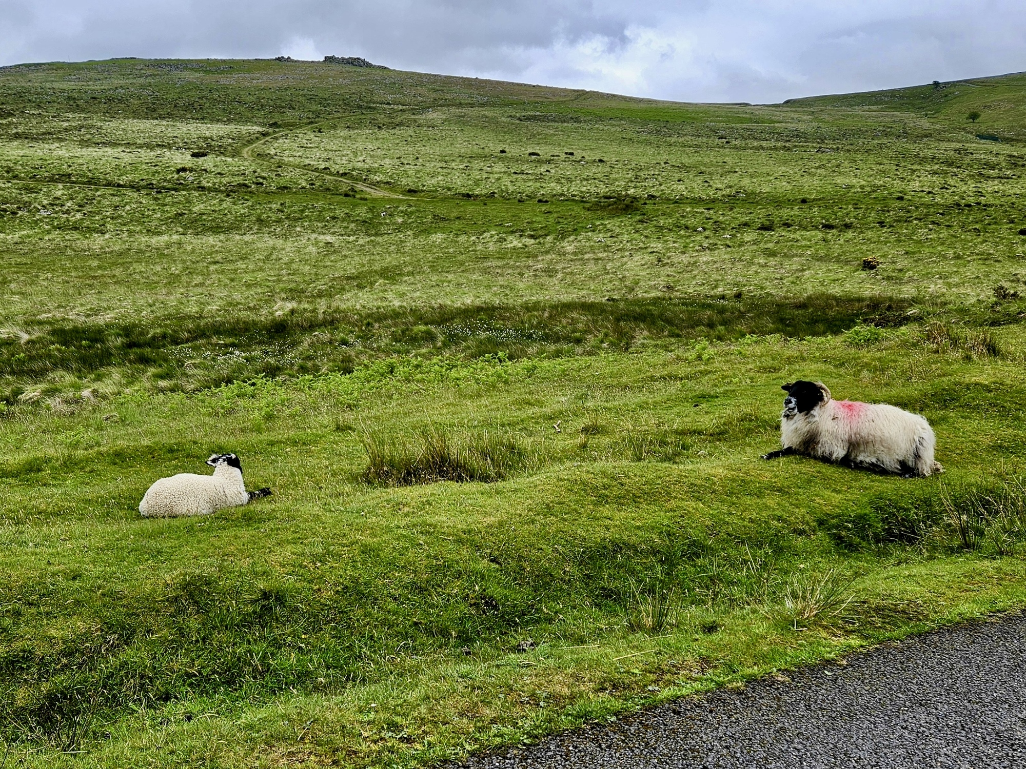
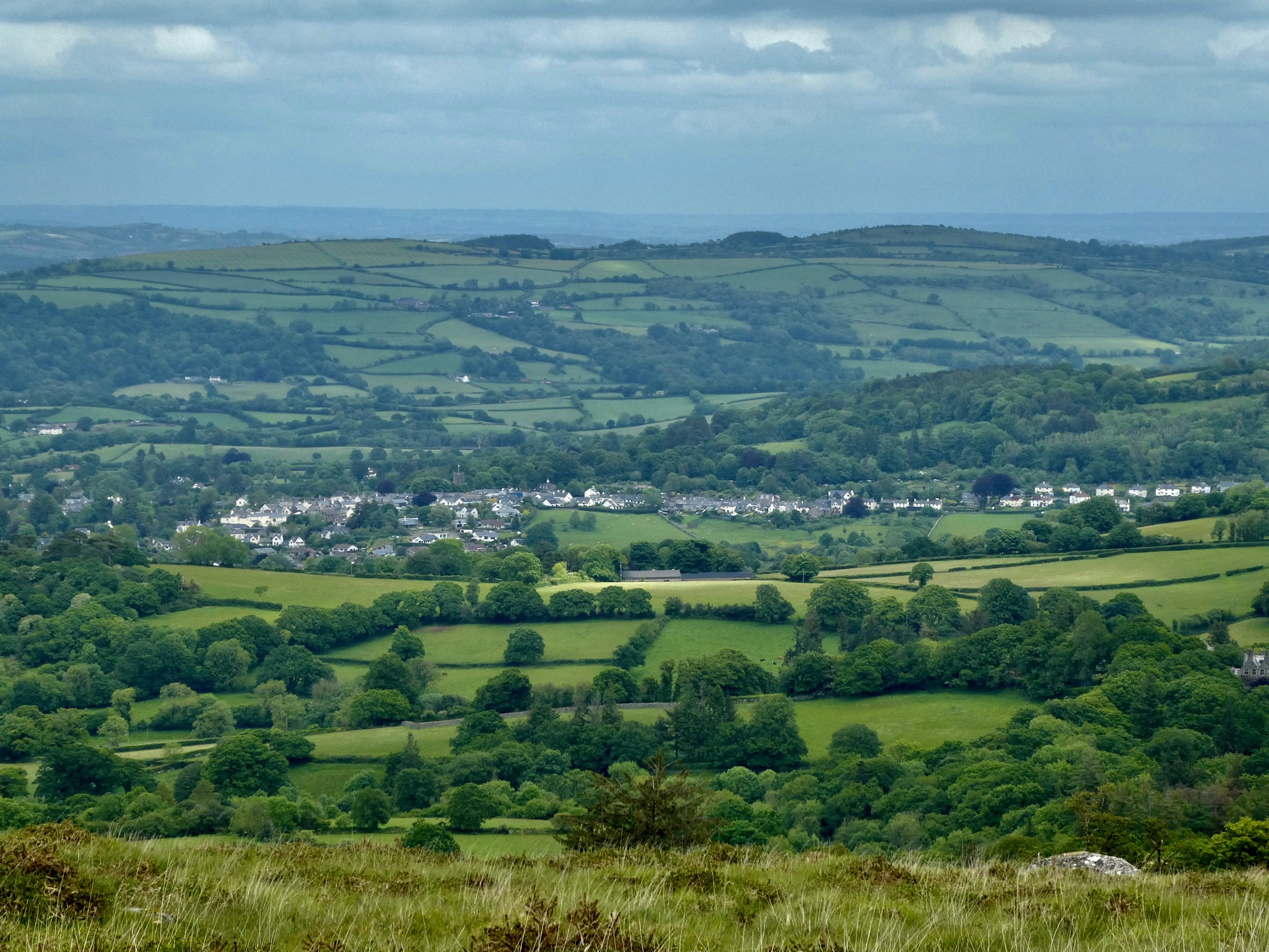
Rachael’s tor-bagger turns into more of a bog-hopper though when the route she had mapped out is blocked by a stream too deep to wade and too wide to leap. She still gets her 12-1/2 miles in, but they’re different ones than she expected. She spends a lot of her walk in soggy land, carefully opting and big-stepping her way from one dry island to the next. She’s quite proud of her technique and was sorry she couldn’t get a video of herself doing this, but at least she took time to capture a few sheep she passed along the way. She didn’t take many other photos though, because in addition to the wet ground the sky is a little misty and the visibility not so great.
So, not quite the hike she’d imagined. But as she said later, it was still a far better day than sitting around eating bonbons and watching television.
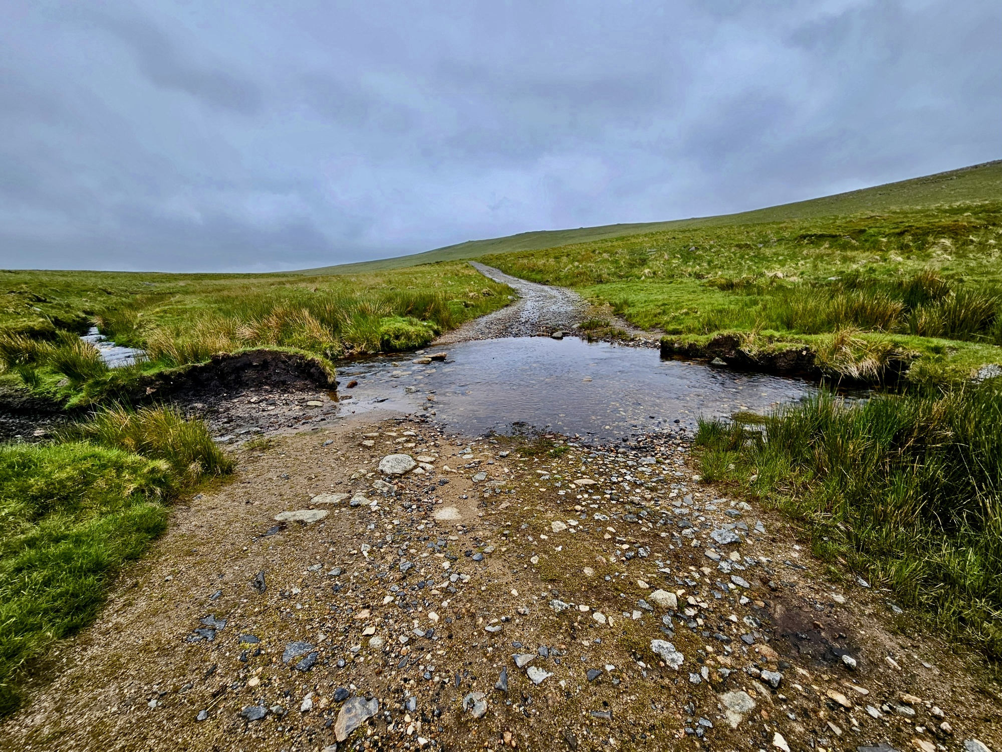
A slight change of plans is needed. It really is wet up here right now from all the recent rain. This is just a minor stream, but if you look at the map you’ll see that she’s surrounded by water, with rivers that originate near here streaming off in all directions.
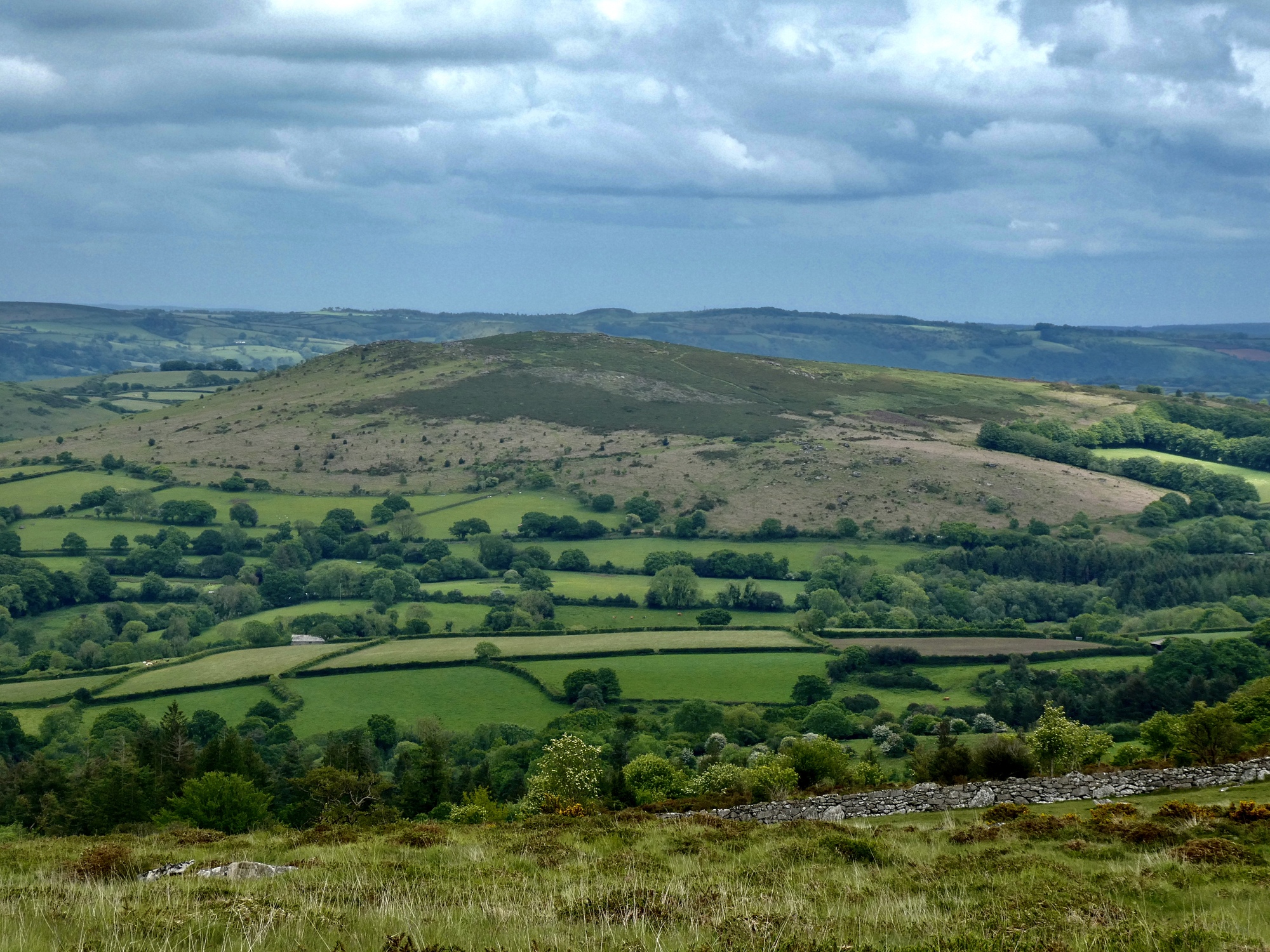
You can see where she was forced to turn back, right round mile 4. If she’d continued on she’d have made it up to the High Willhays, the highest point in the park.
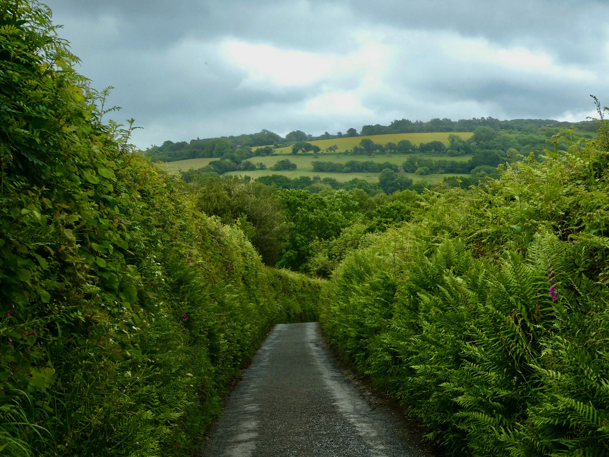
My day starts with a nine mile ride to Gidleigh, a village within the park’s boundaries that looks like a good base for a moor walk. It’s a slow nine miles because it’s filled with the usual painfully steep climbs, slow lanes, a wrong turn uphill at Throwleigh I have to double back from, and colorful villages that I stop for a few admiring shots of. Hardly any of them made their way into the post though because there’s so much else from today to save room for. I’m pretty sure we’ll get our fill of thatched roofs and village churches before leaving the UK, so let’s stay focused on the moors while we’re here.
This looks just like the shot I took biking up to Belstone the day before yesterday, but it’s not. Maybe it’s the same hill ahead, but it’s a different 14% road that’s forced me to stop and take a shot before walking a ways.
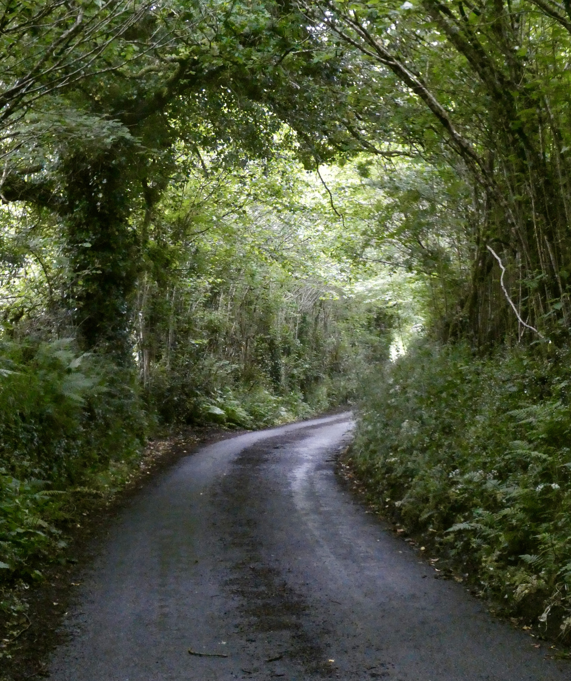
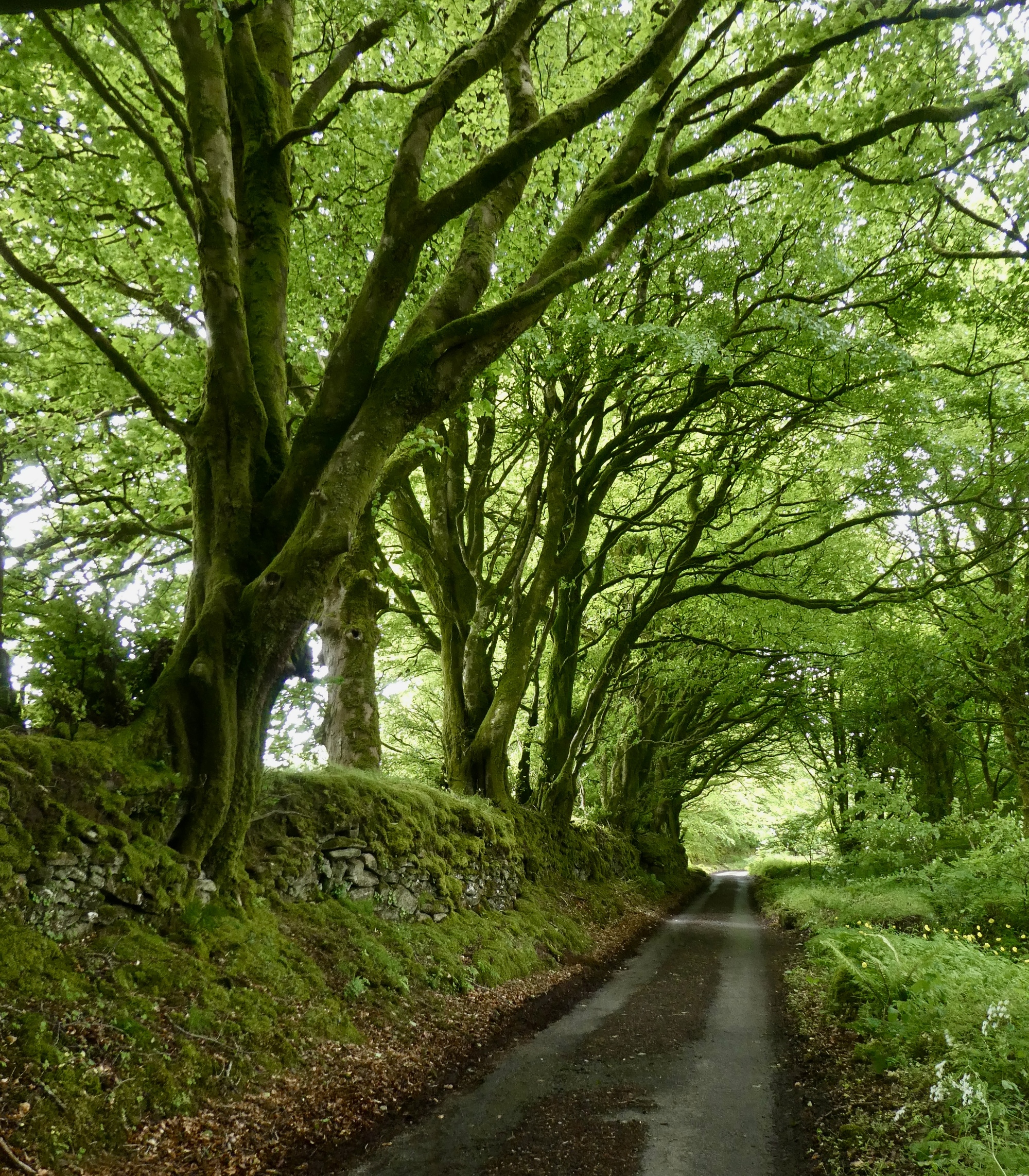
It’s supposed to stay dry today, but it turns drizzly enough to worry me for awhile. Fortunately I’m not feeling it though, secure here in this tunnel of green.
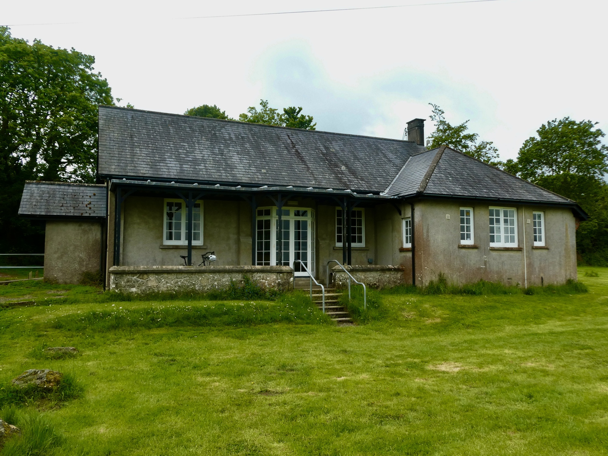
I make it to Gidleigh right around noon and quickly find the perfect spot to leave the bike - on the porch of the village hall, covered and locked to a post. I’m smart enough to leave the helmet behind this time, and before long I’m walking the lane toward the gate to the moors. I feel lucky that the sky is brightening up just as I’ve arrived. With a roughly five mile hike ahead I timebox myself and plan to be back at the bike by four to make sure I’m home in plenty of time for dinner.
The village hall in Gidleigh provides an ideal spot to leave the bike.
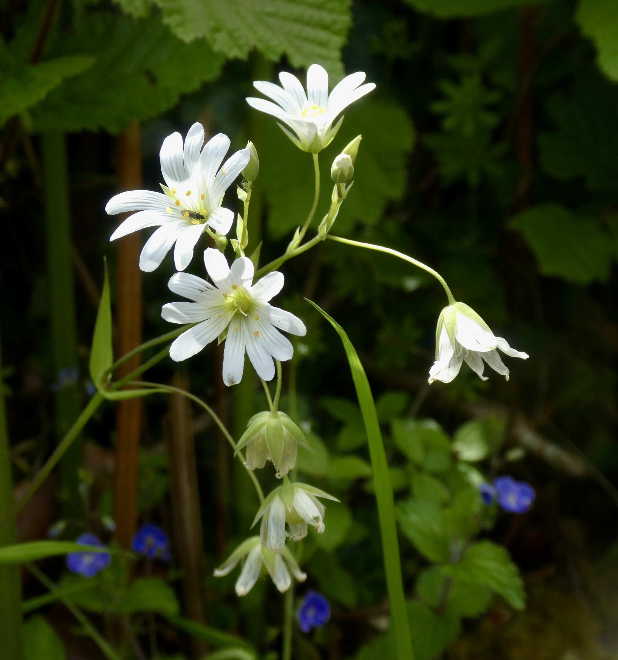
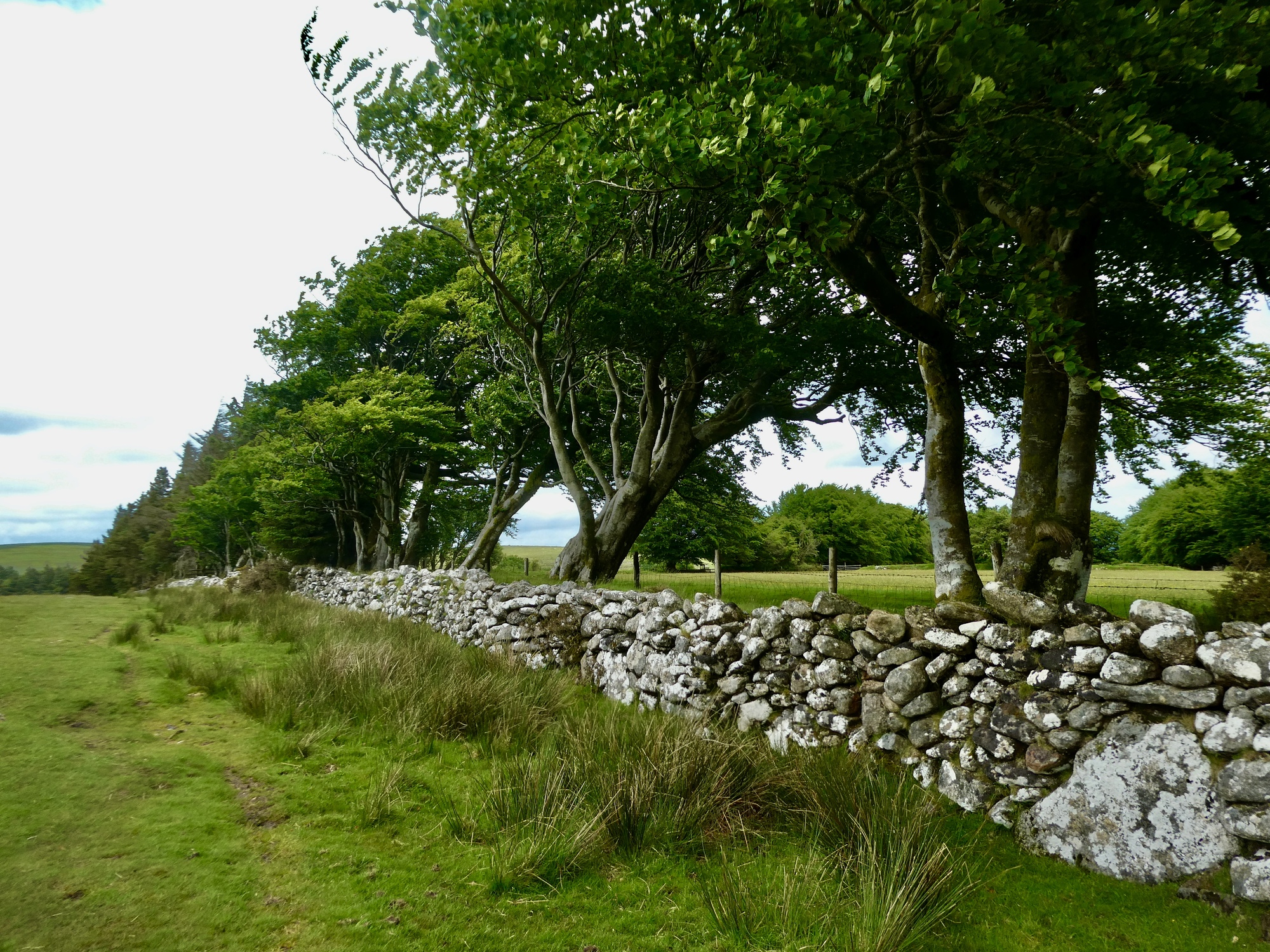
I hadn’t noticed in drawing out my route but I’m surprised to find that it’s a mile on this paved lane until I finally reach its end and come to the moor gate. It’s a fine walk on its own though and I’ve got the time to stop and admire the flowers, the stone walls, and the beech trees towering above them.
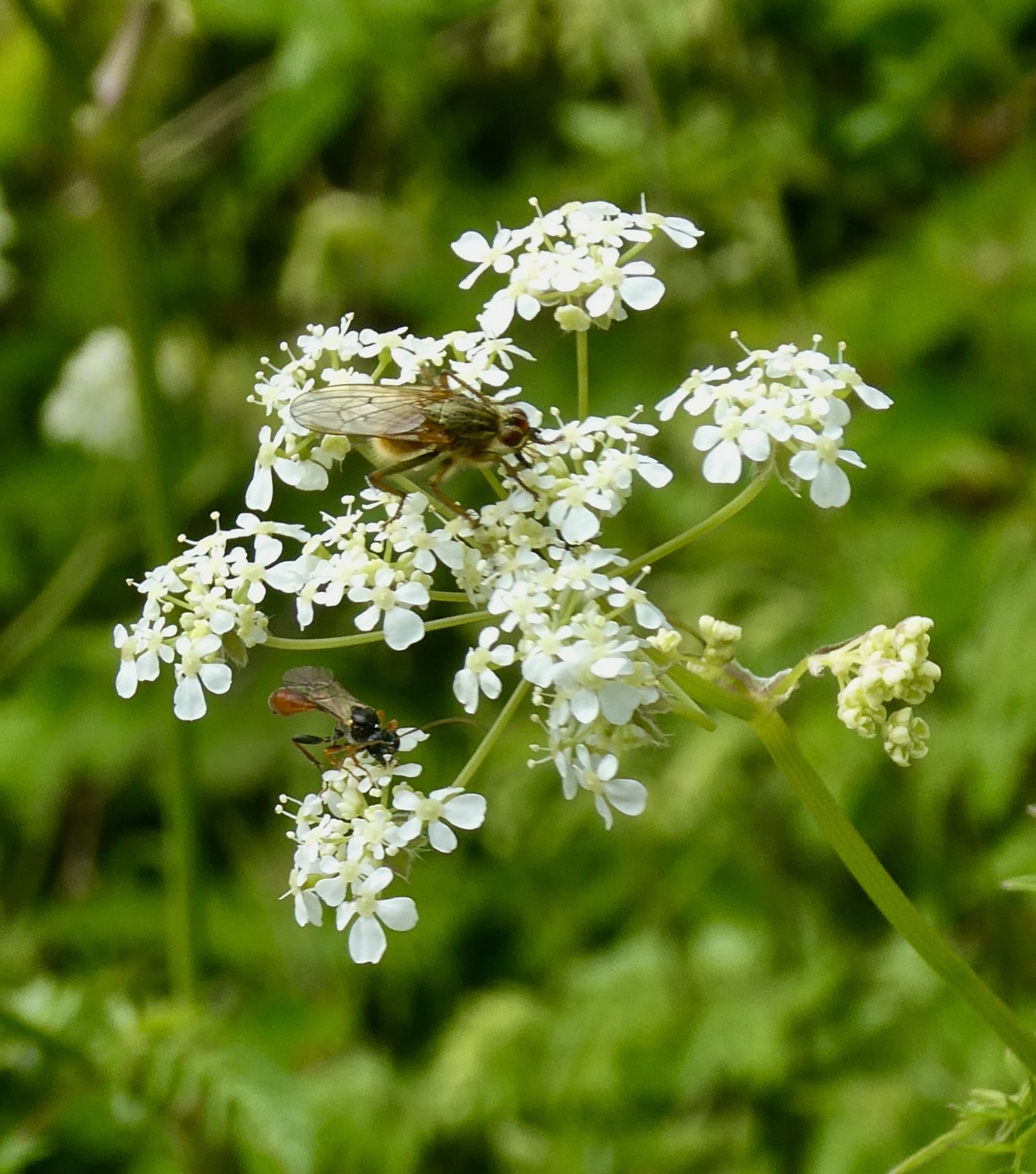
Similar to the hogweed we saw a few days ago, but this one’s cow parsley. It has a more delicate, open appearance.
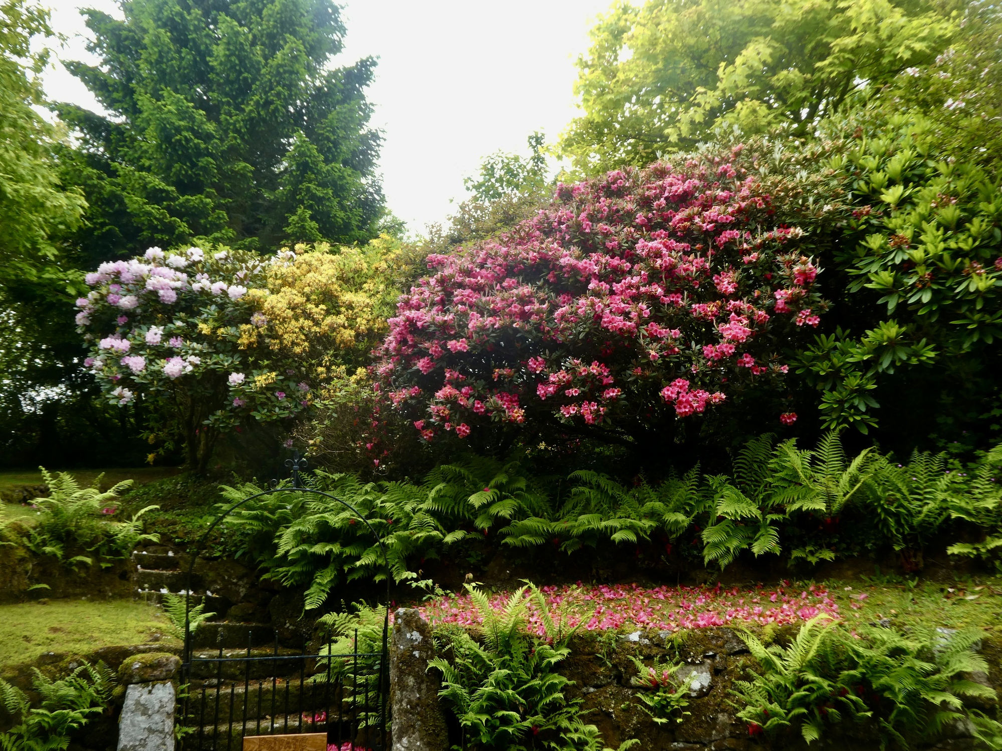
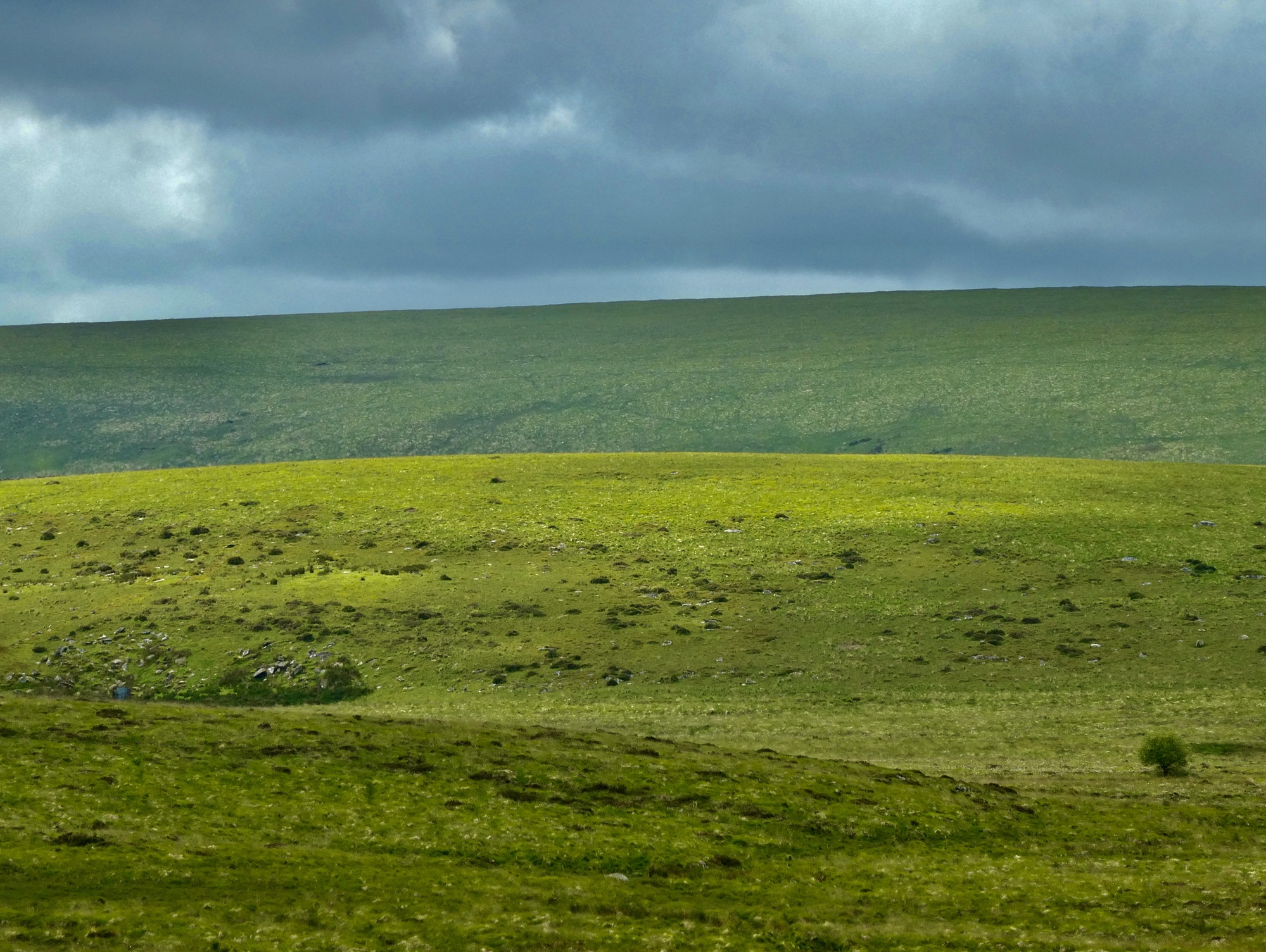
After a mile I finally come to the end of the pavement and pass through the swinging gate into the moors. It’s like a knife cut through the landscape, and immediately everything changes. Behind me are beech trees, rhododendrons and hedgerows. Ahead of me are bare, undulating fields, broad vistas, and scattered wild or semi-wildlife.
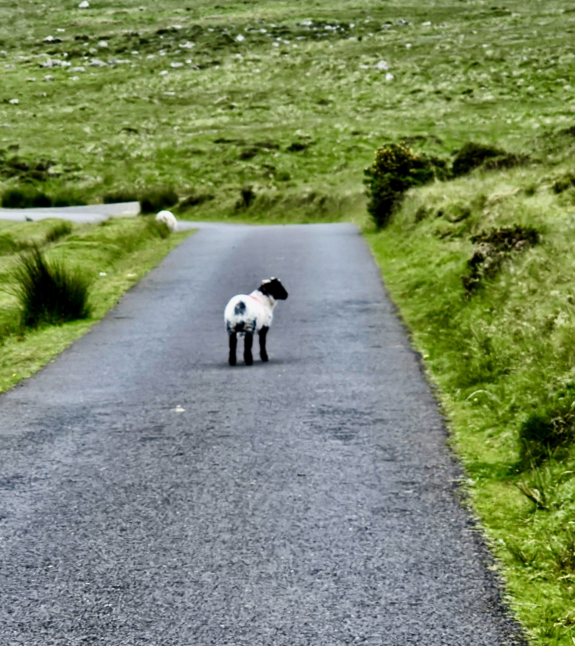
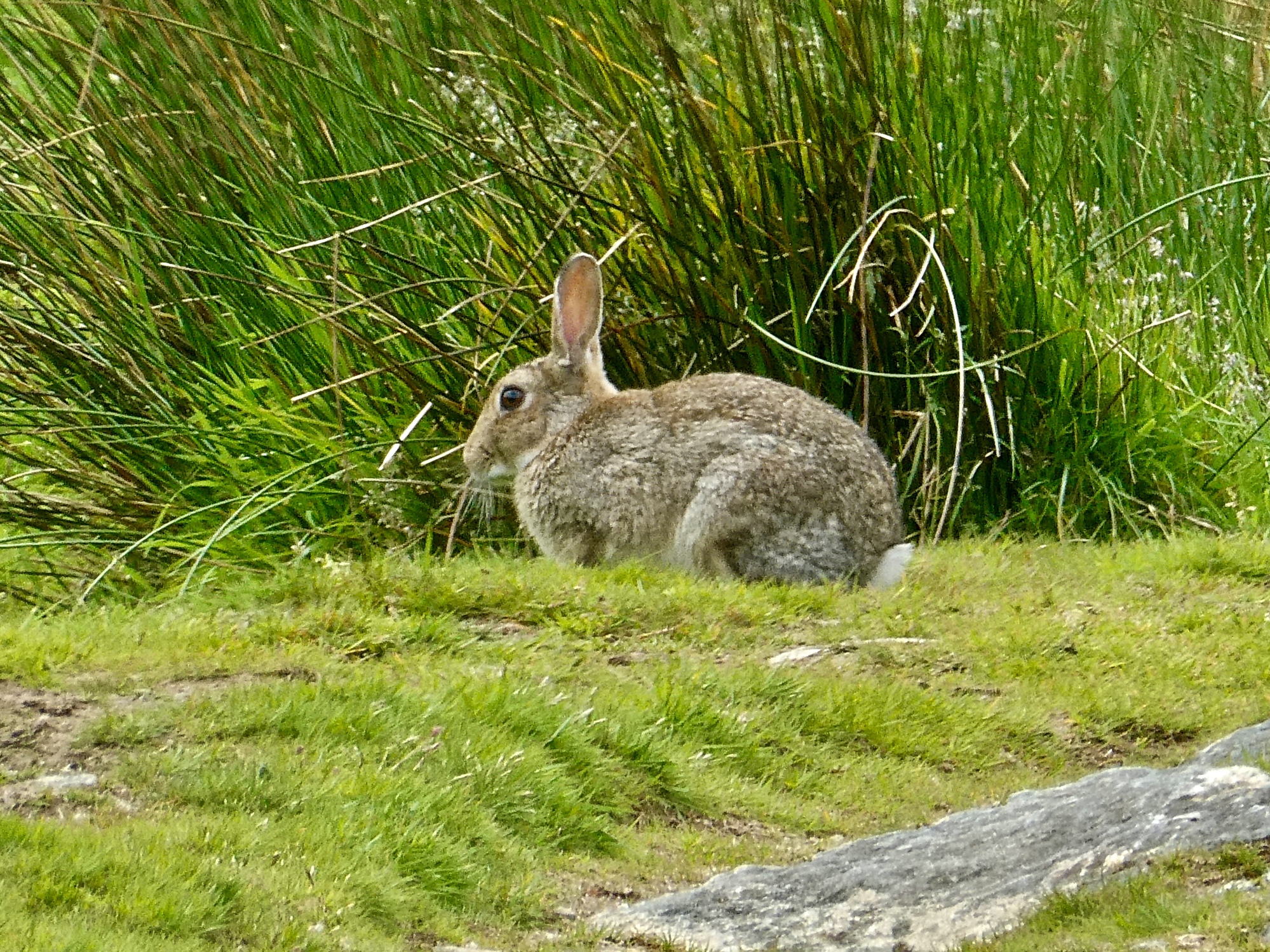
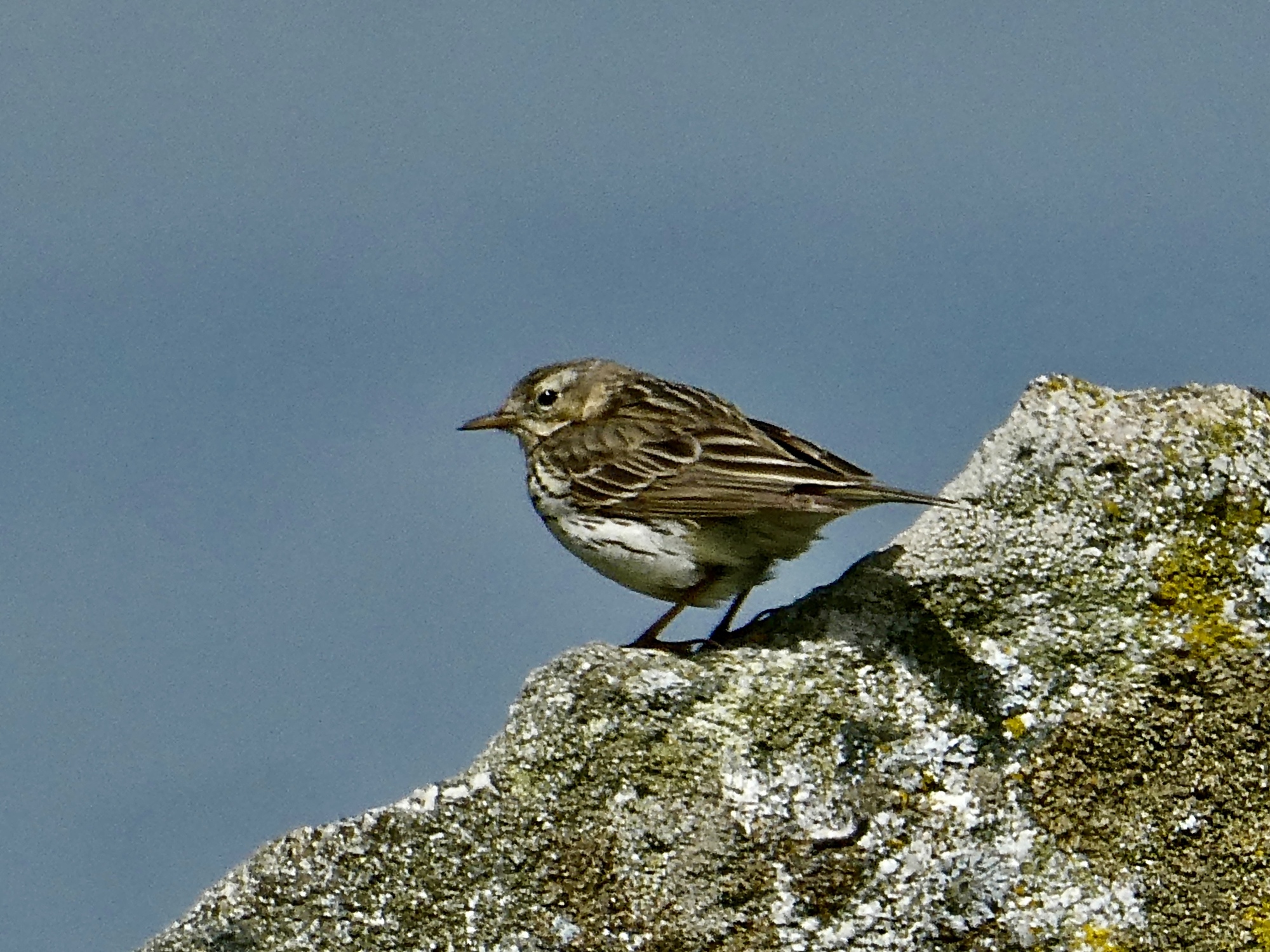
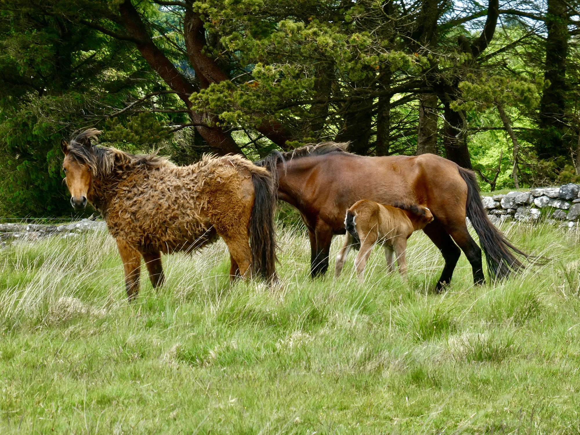
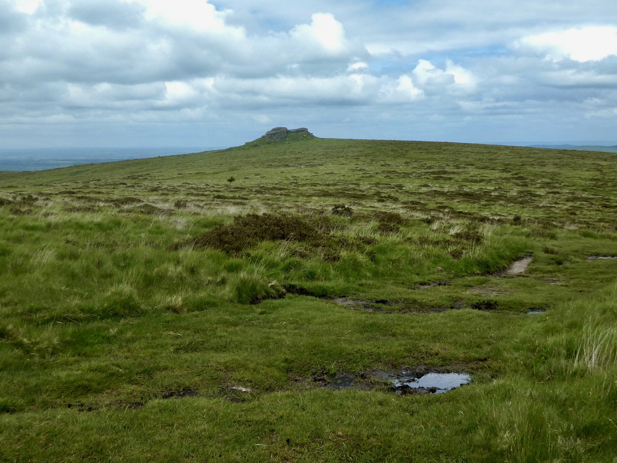
Right out of the gate there’s this thrilling wildlife sighting.
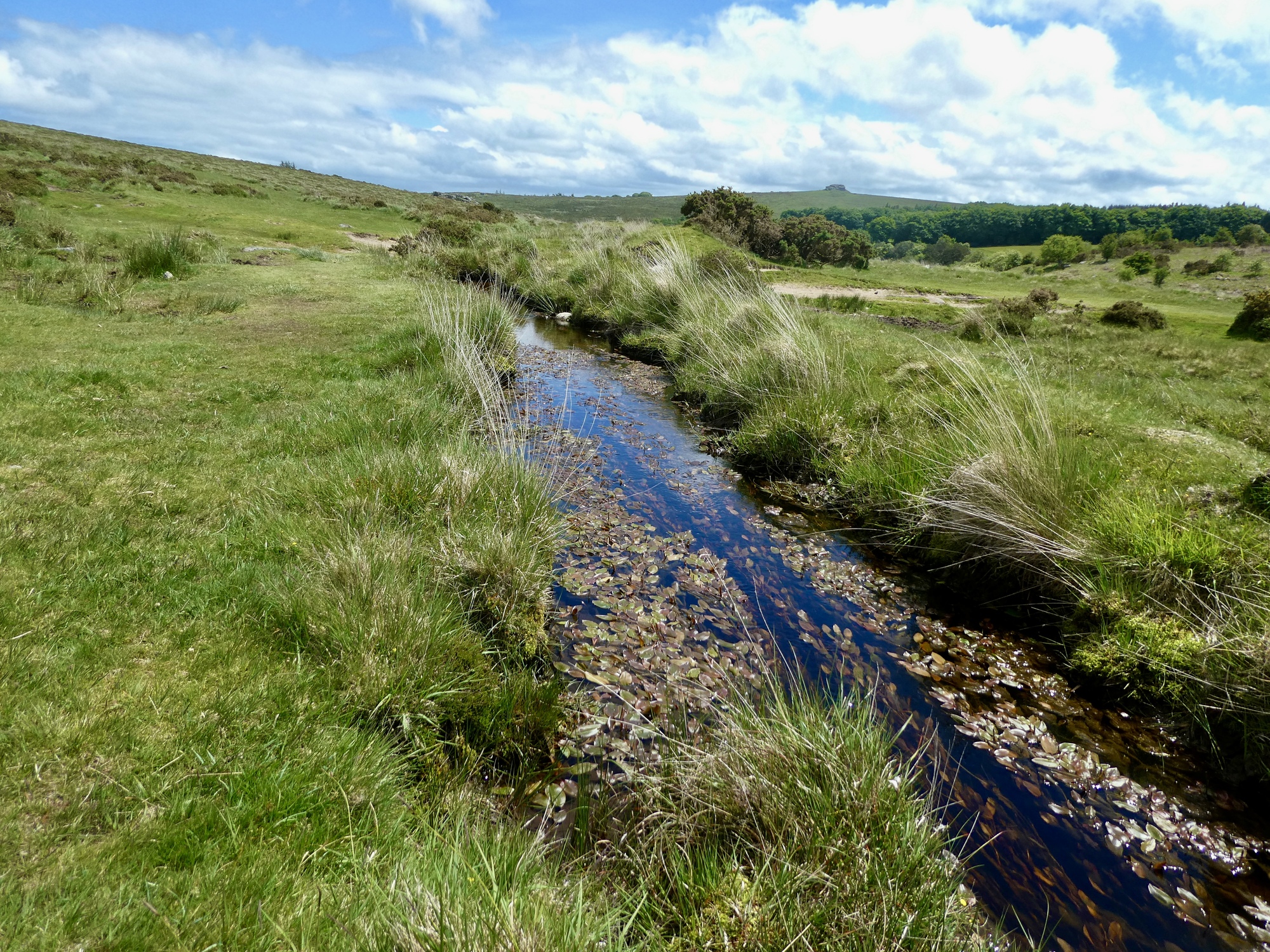
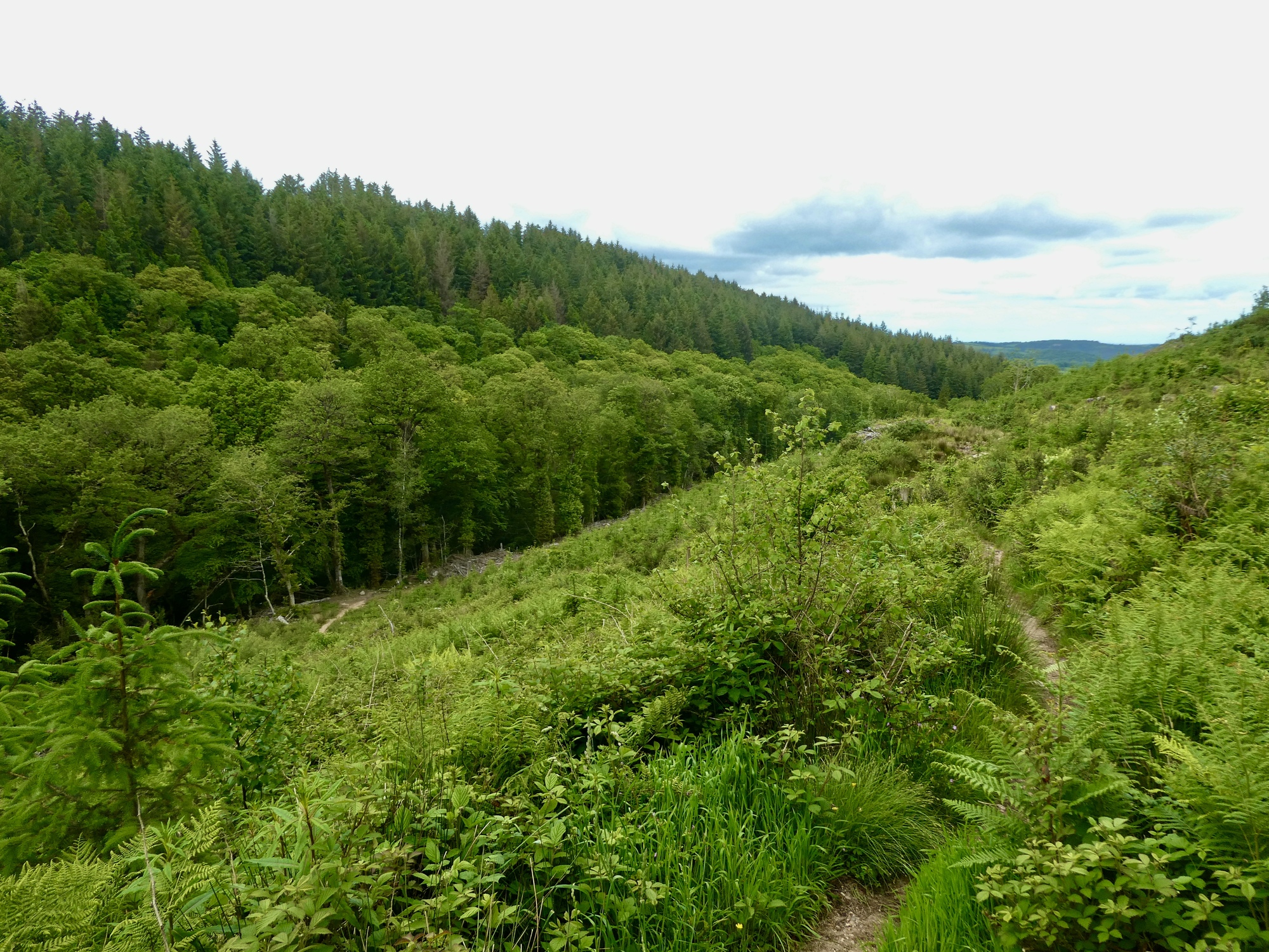
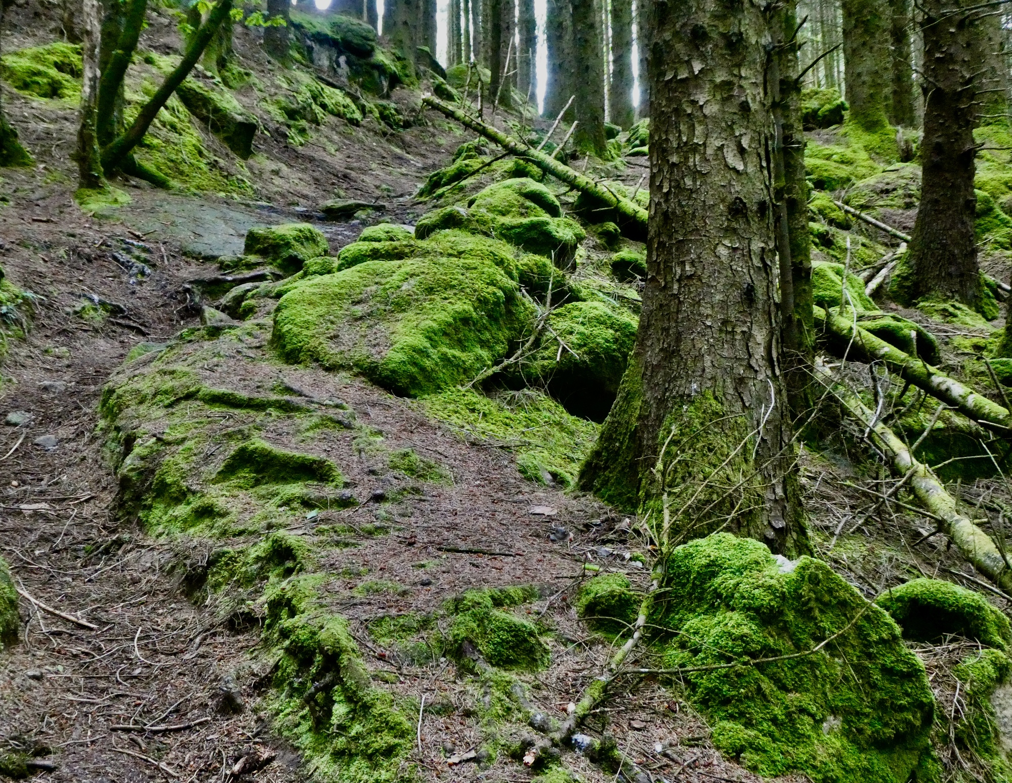
From here the trail drops down through wet terrain to a stone bridge across a waterway. The trails are much better defined here, but just a bit sloppy from all the water. For much of the day’s walk I’m picking my way through what looks like a peat bog.
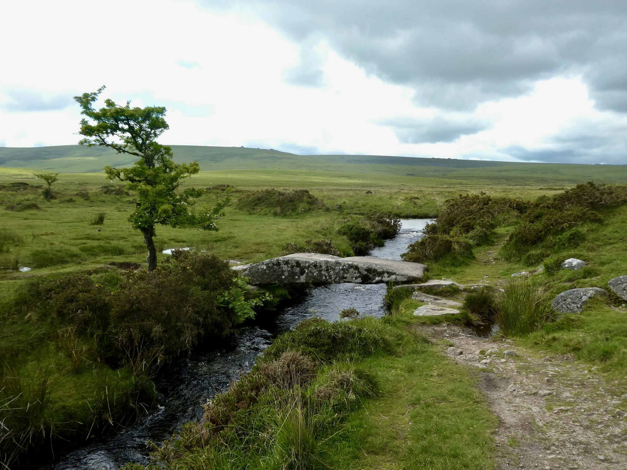
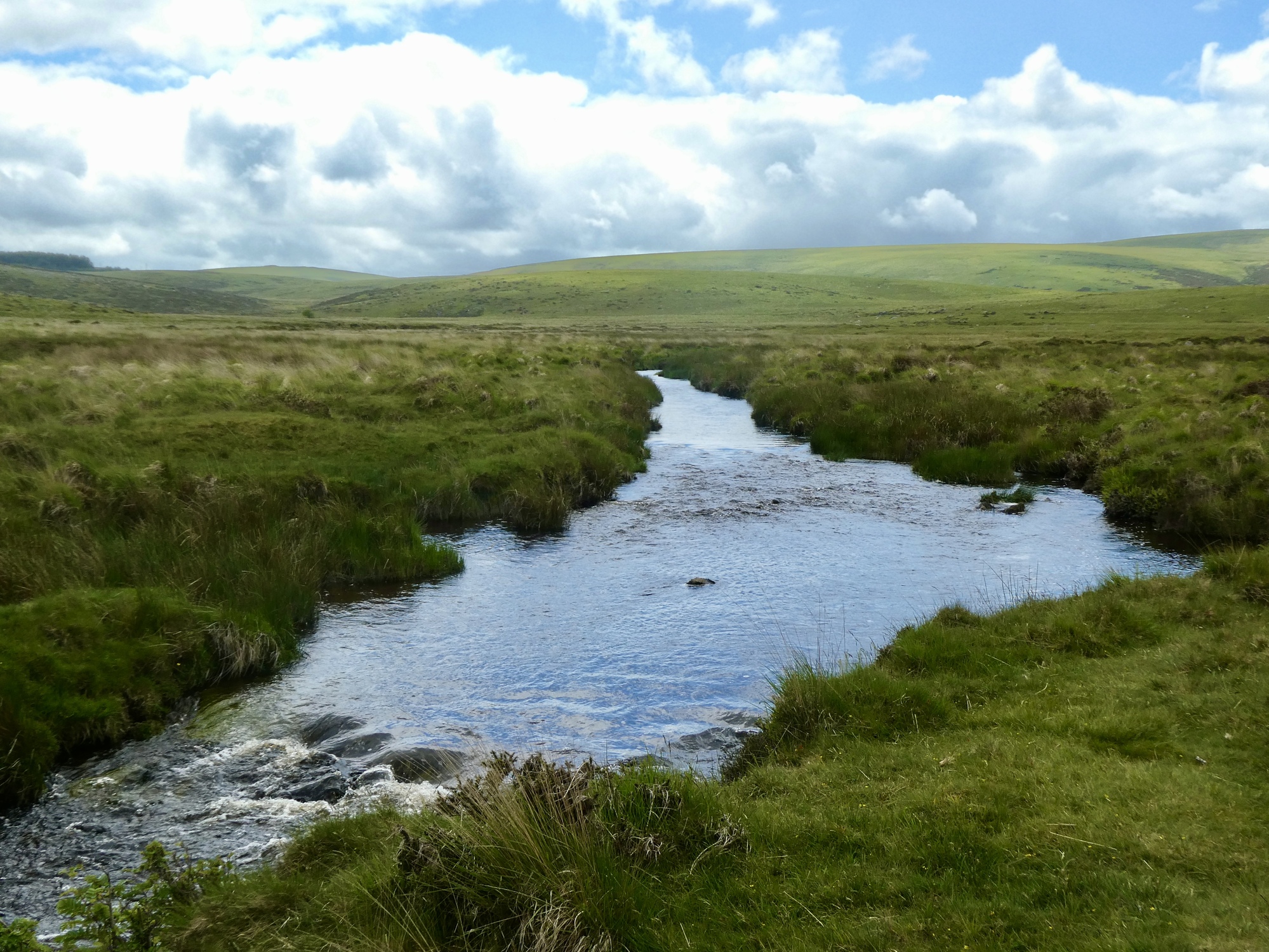
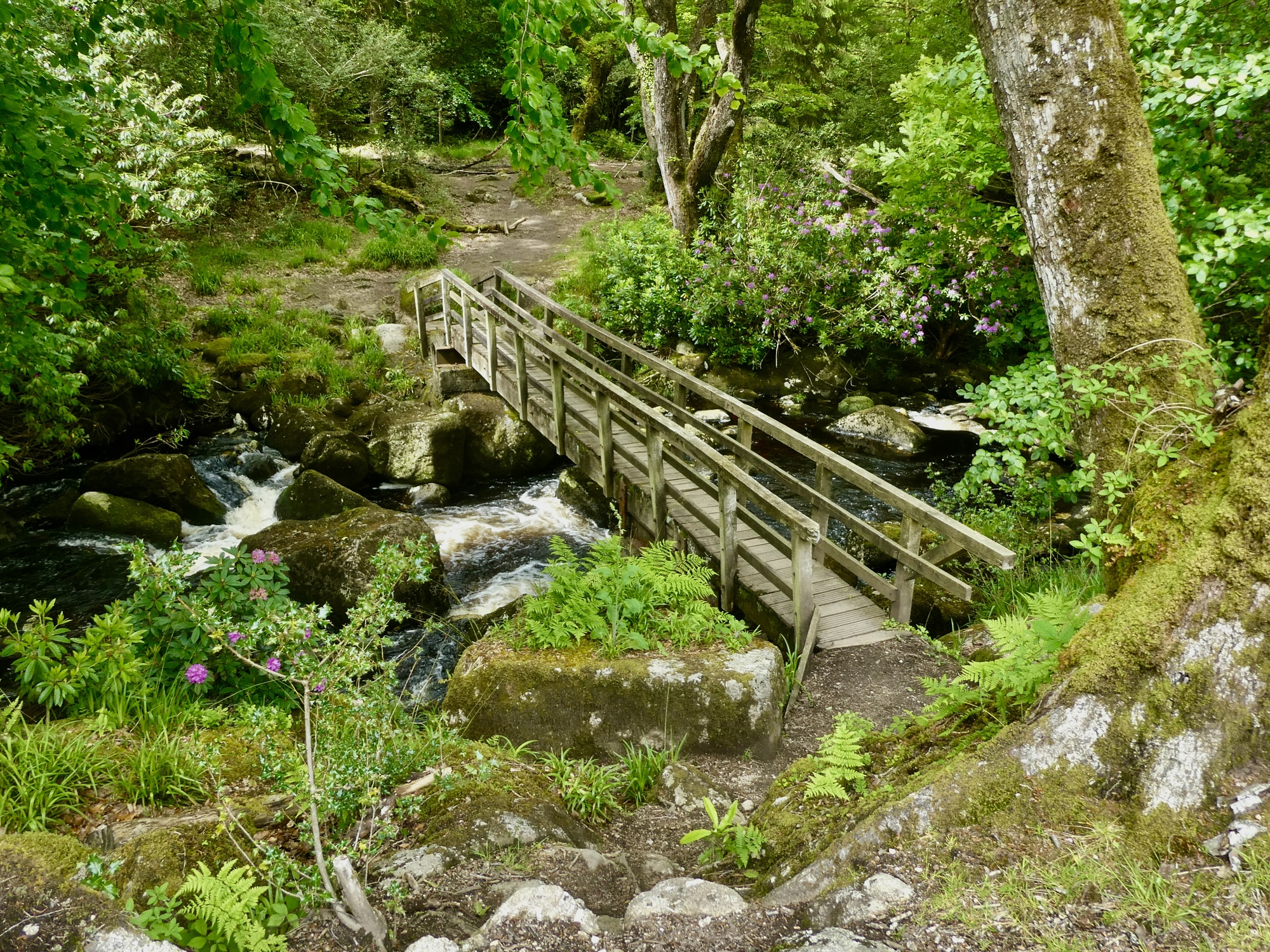
At the low point I cross a pair of high tributaries of the Teigh River. The two stone bridges I cross are totally necessary, and it’s surprising how much water is rushing through these streams since they must begin less than a mile from here.
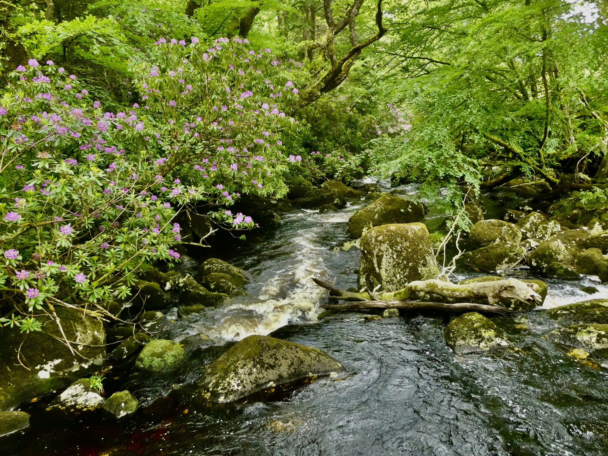
There’s water cutting through the land everywhere.
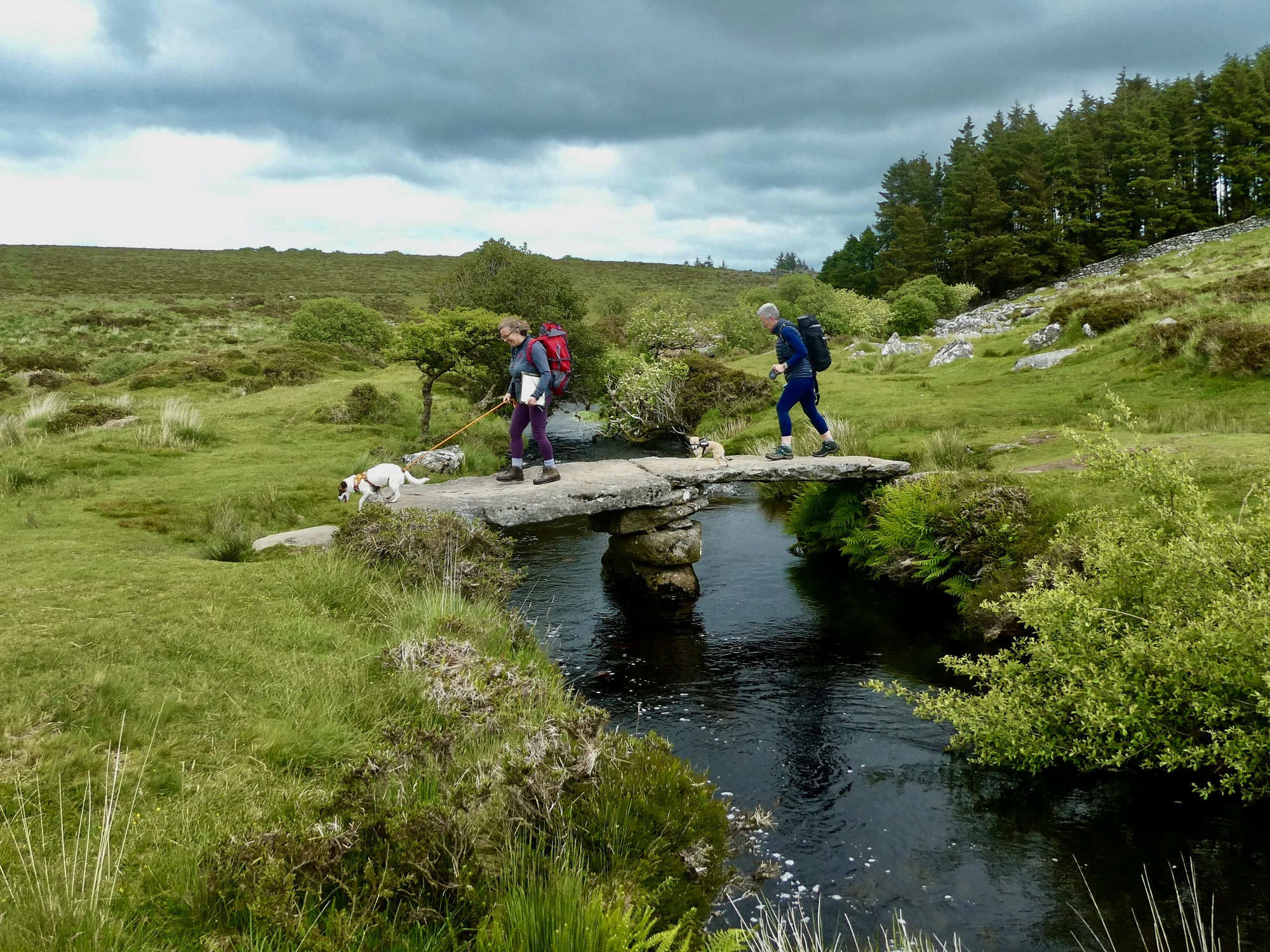
Here we’re crossing Walla Brook, which soon merges into the North Teigh River. I wonder how long ago this enormous stone was placed as a bridge here, and how it was done.
And here’s the North Teigh River, already carrying a significant flow. The walkers apologized for spoiling my shot, but I thanked them for adding some color.
There’s more color here too, but it’s just off the frame to the right - two children on a picnic with their dad. They’ve got their shirts off, trying to decide if they have the nerve to take the plunge.
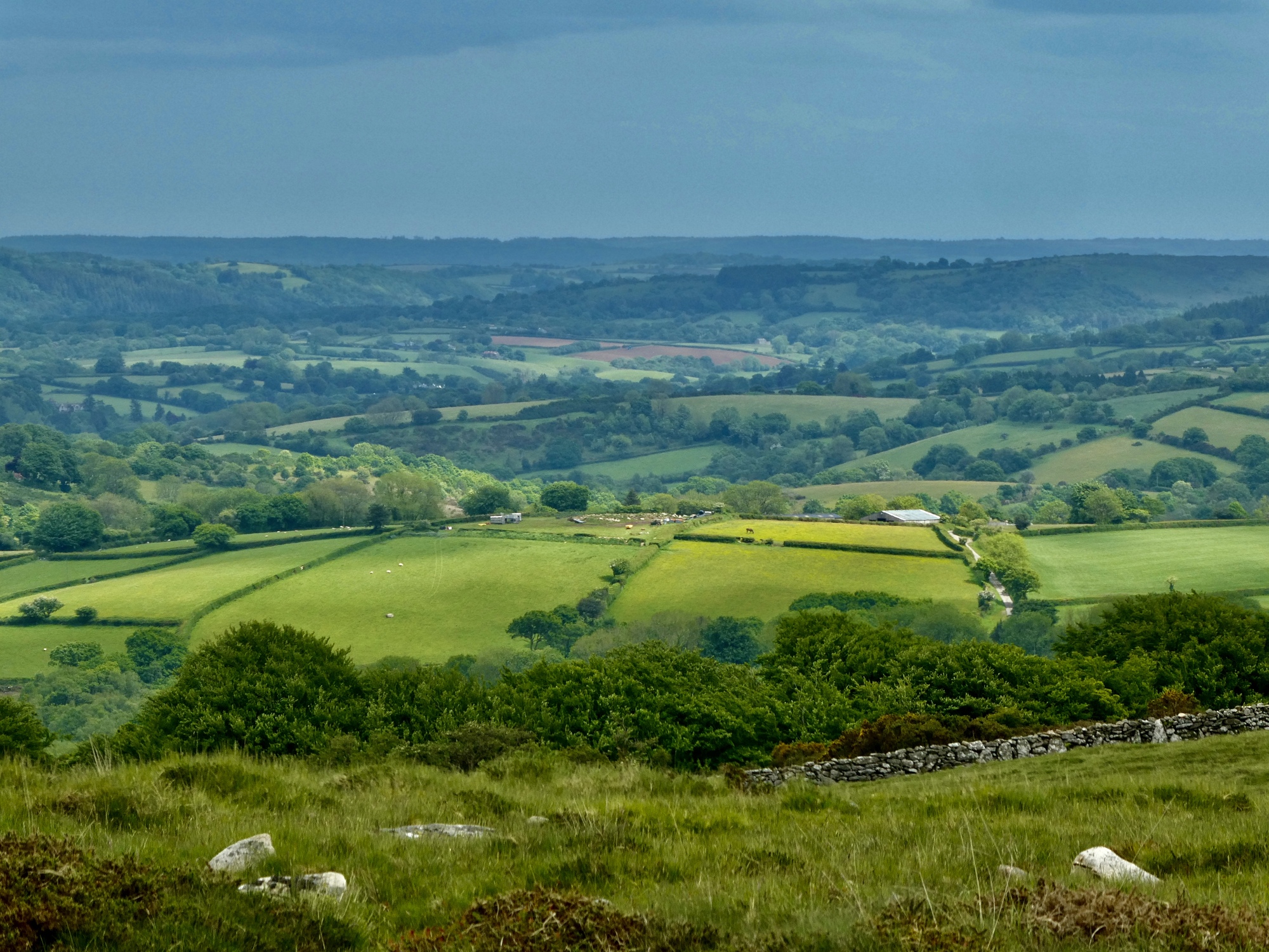
Across the river, I decide to lengthen my route and climb up the opposite slope for views out the other way. The sky is brightening, I’ve got the time, and my knees are exceeding expectations today. This hiking pole is making a huge difference. I should have done this a long time go, it’s obvious now.
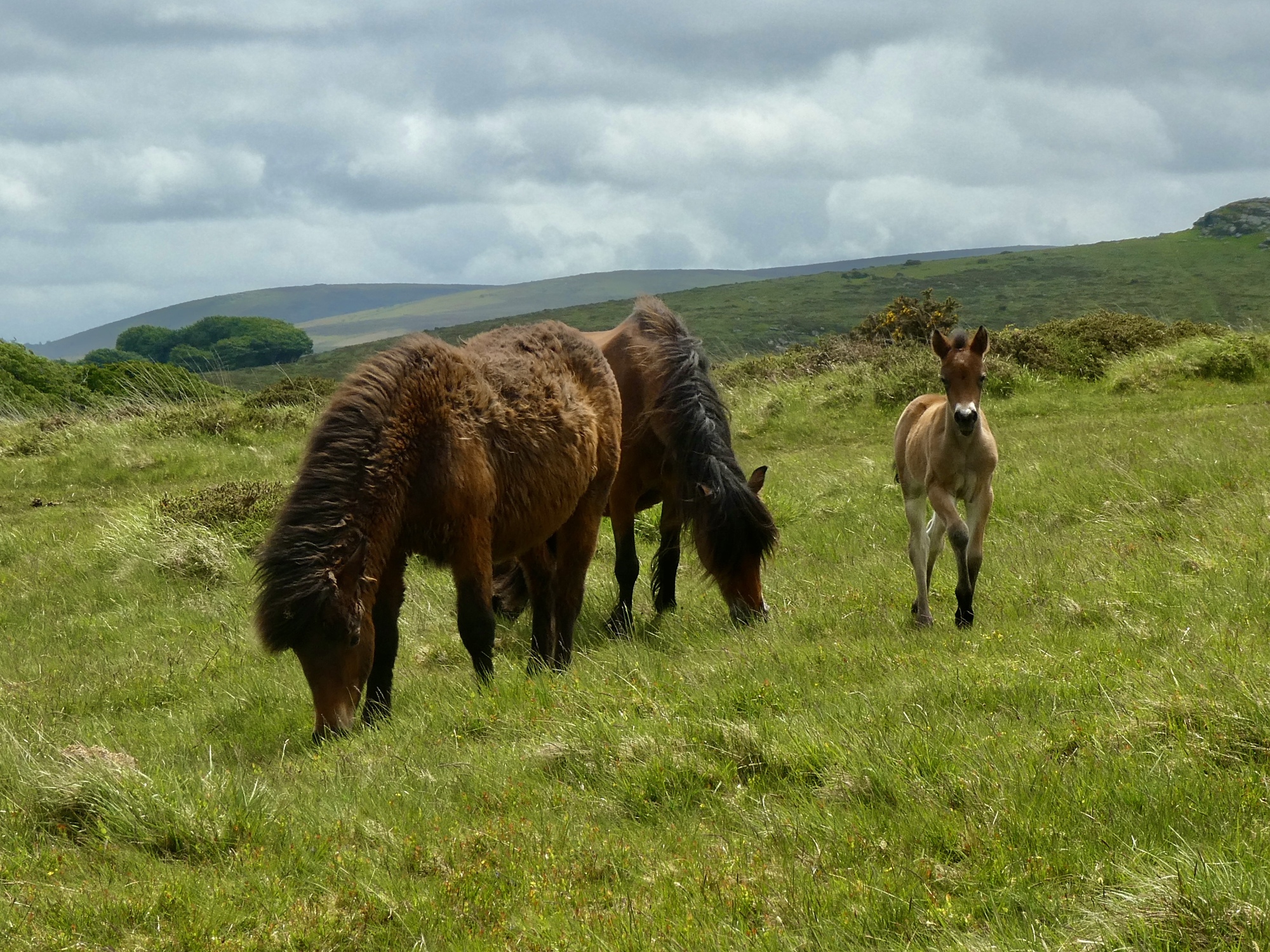
Keith AdamsIt'll take a long time and a LOT of work with a curry comb to get that shaggy one looking sleek like the others. Reply to this comment 1 year ago
Scott AndersonTo Keith AdamsIsn’t that strange? I almost commented on it myself. I’ve never seen a horse with a coat like this. Reply to this comment 1 year ago
I’ve added about two miles with my detour up on the ridge, so it looks like I’ll put in about eight miles by the time I’m back to the bike. I’m a little concerned about the time so I’m glad to see on the Garmin that there’s a shortcut available, a trail that drops down to the Teigh River and climbs out the other side. It saves me about a mile alright, but it’s hard to say if it saves me any time because the descent is so steep and rocky. It’s a relief when I get to the bottom and find that there’s a bridge across the river and I don’t have to backtrack and take the long way around after all.
Oh, and one disappointment for the day comes on this descent - there’s a fox on the trail down ahead, but he sees me before I see him and quickly melts away.
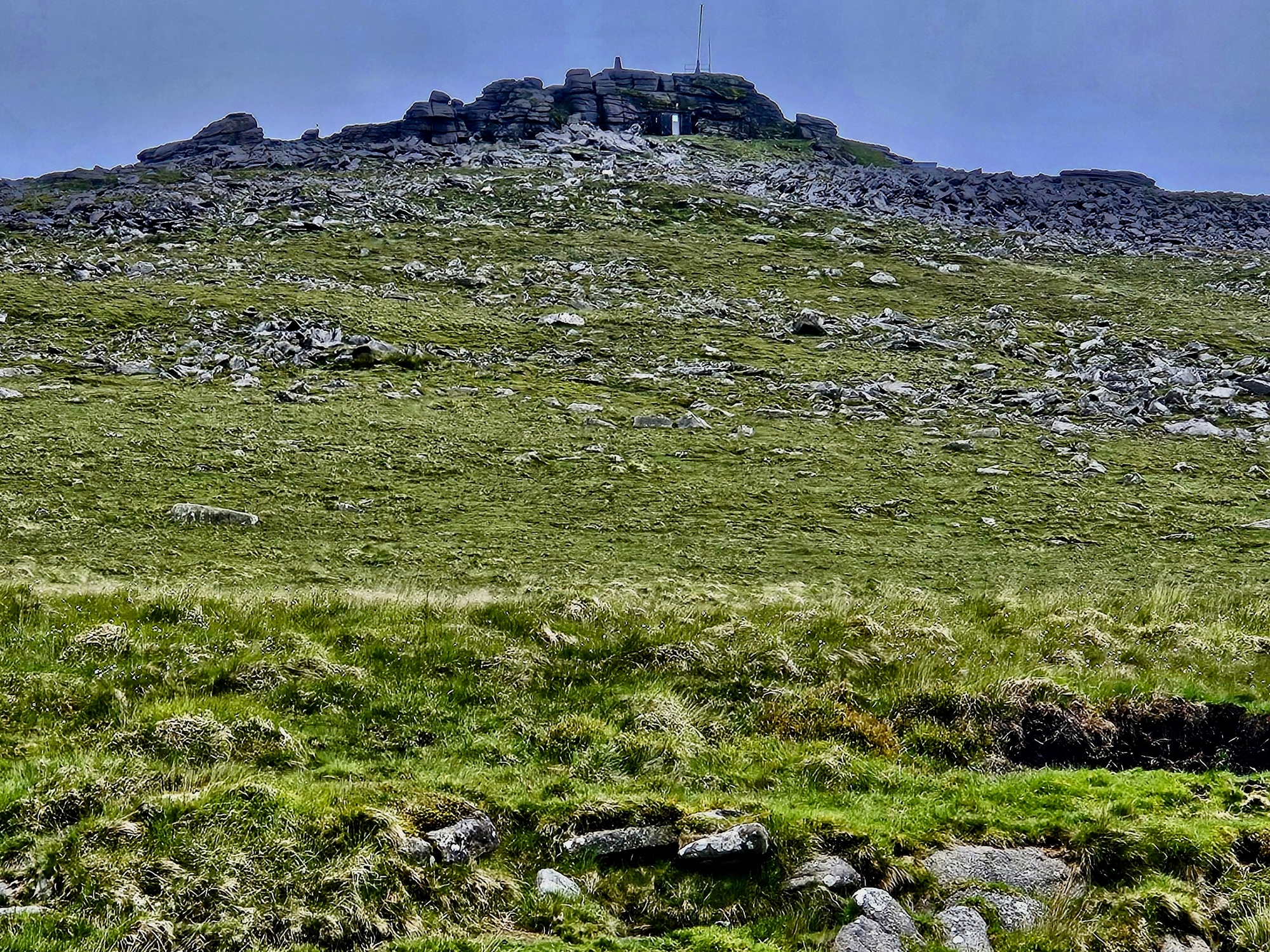
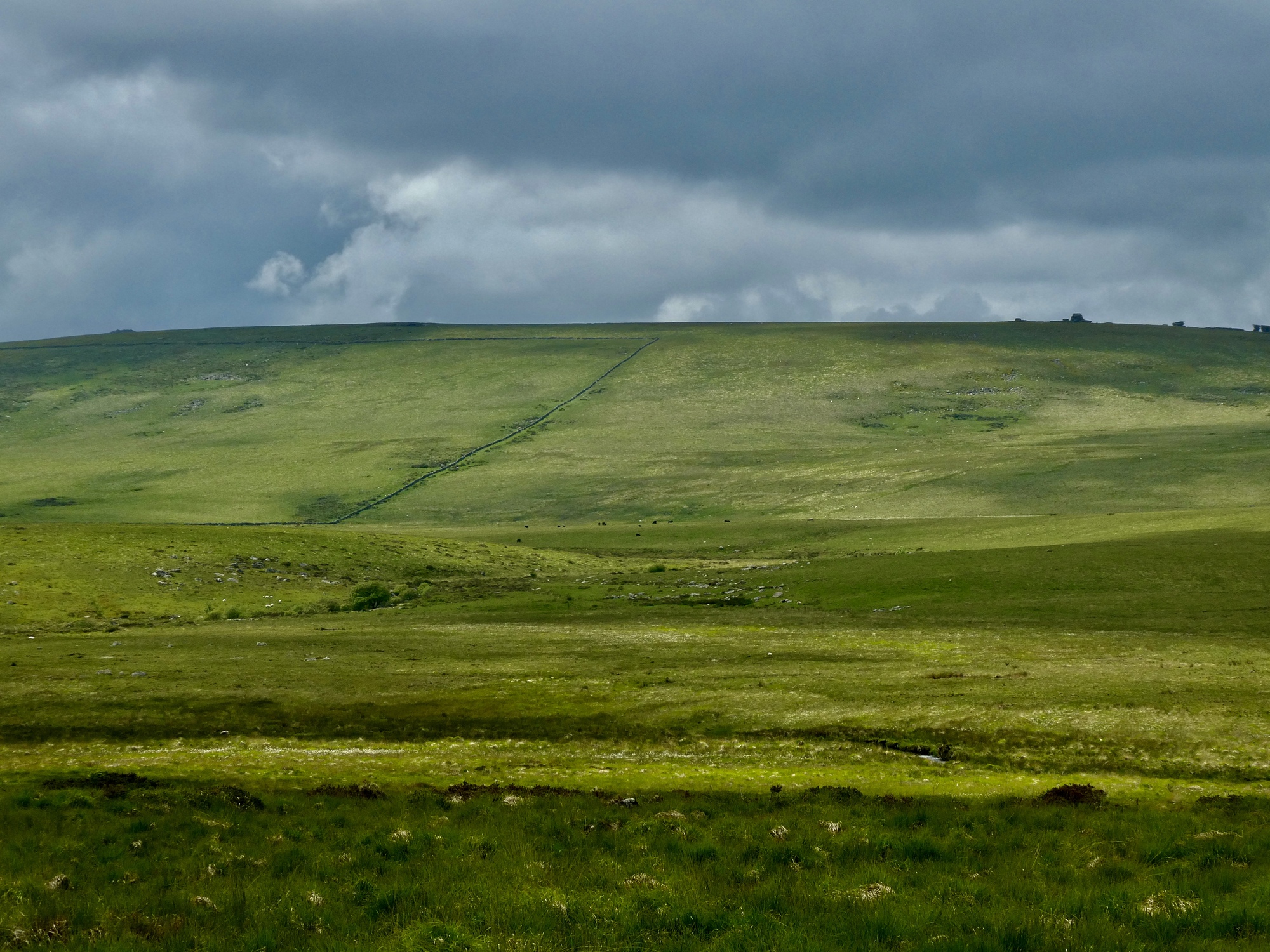
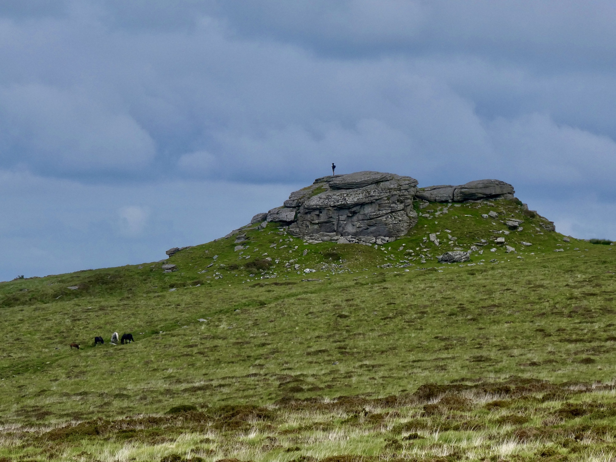
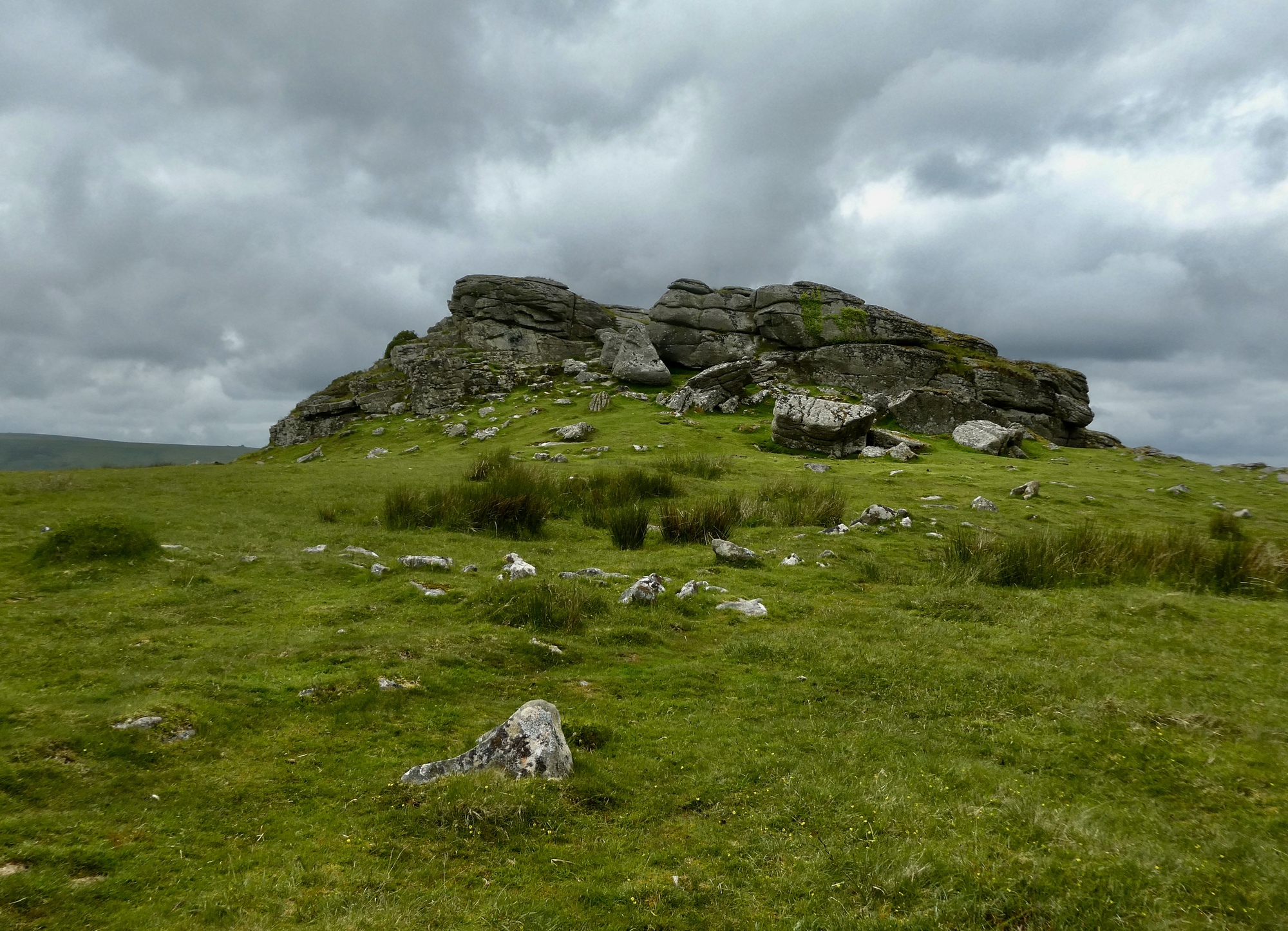
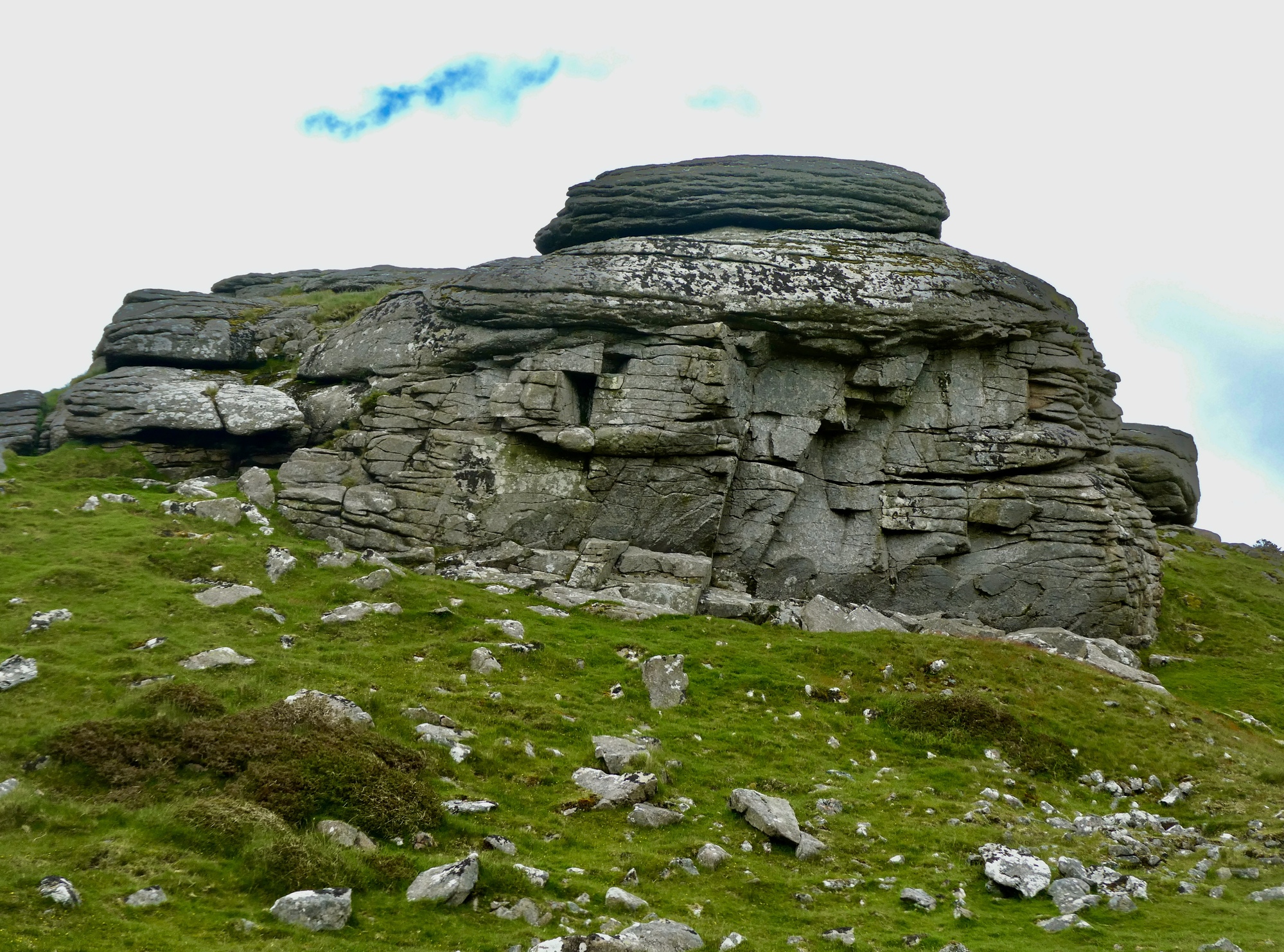
Looking back at Kestor Rocks as I begin dropping back toward the village.
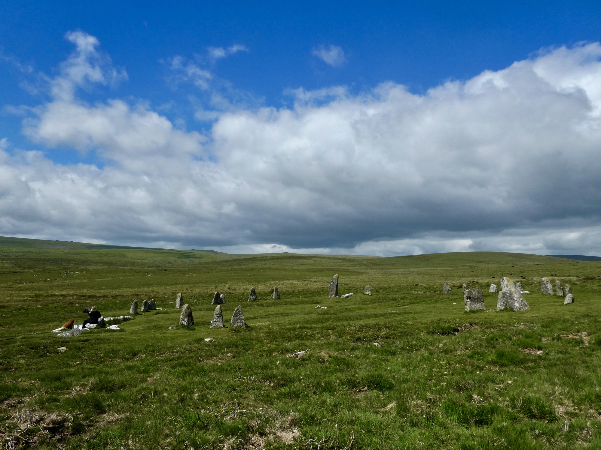
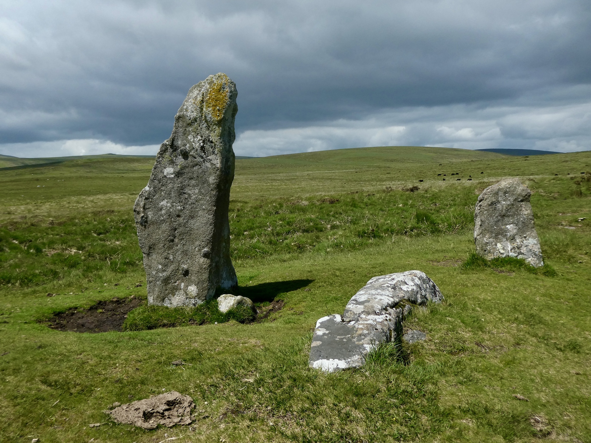
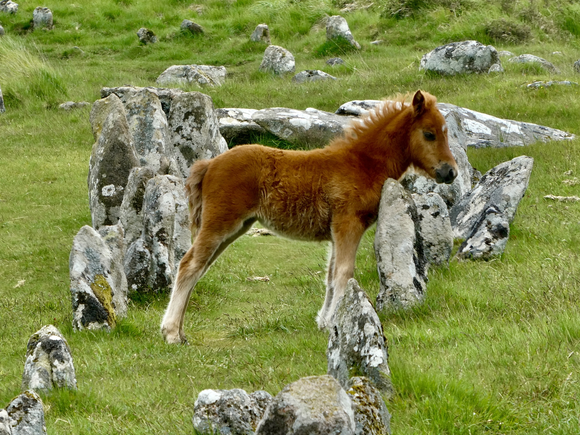
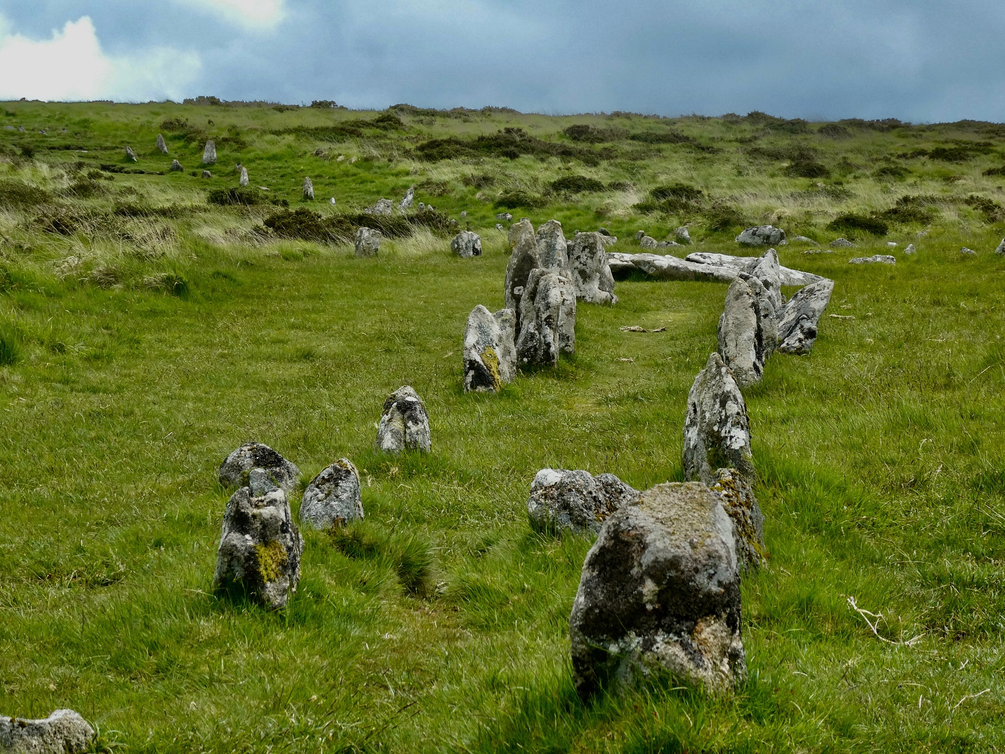
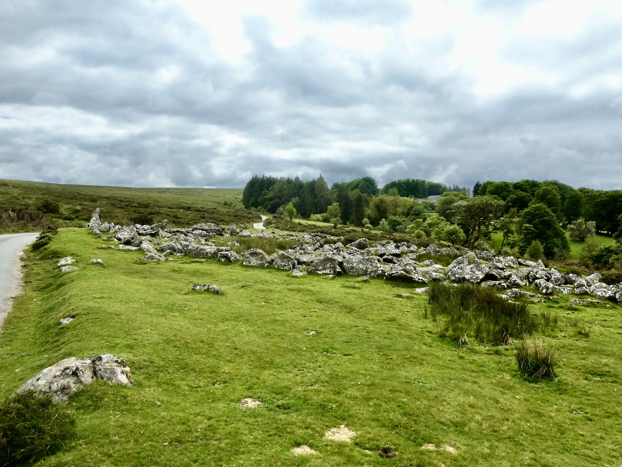
There’s one more noteworthy sight before leaving the moors for now. This is another Paleolithic site, an ancient settlement called the Round Pound. It’s remarkable how much of interest there is to see in such a small area here.
Patrick O'HaraOMG....I was just about to write..."Does this remind you of the Pacific Northwest?" in your previous photo. That's freaky. Reply to this comment 1 year ago
Scott AndersonTo Patrick O'HaraThat’s funny. It’s the hemlocks and rhododendrons that did it for me. It could be in the lowlands of the eastern Olympic Peninsula. Reply to this comment 1 year ago
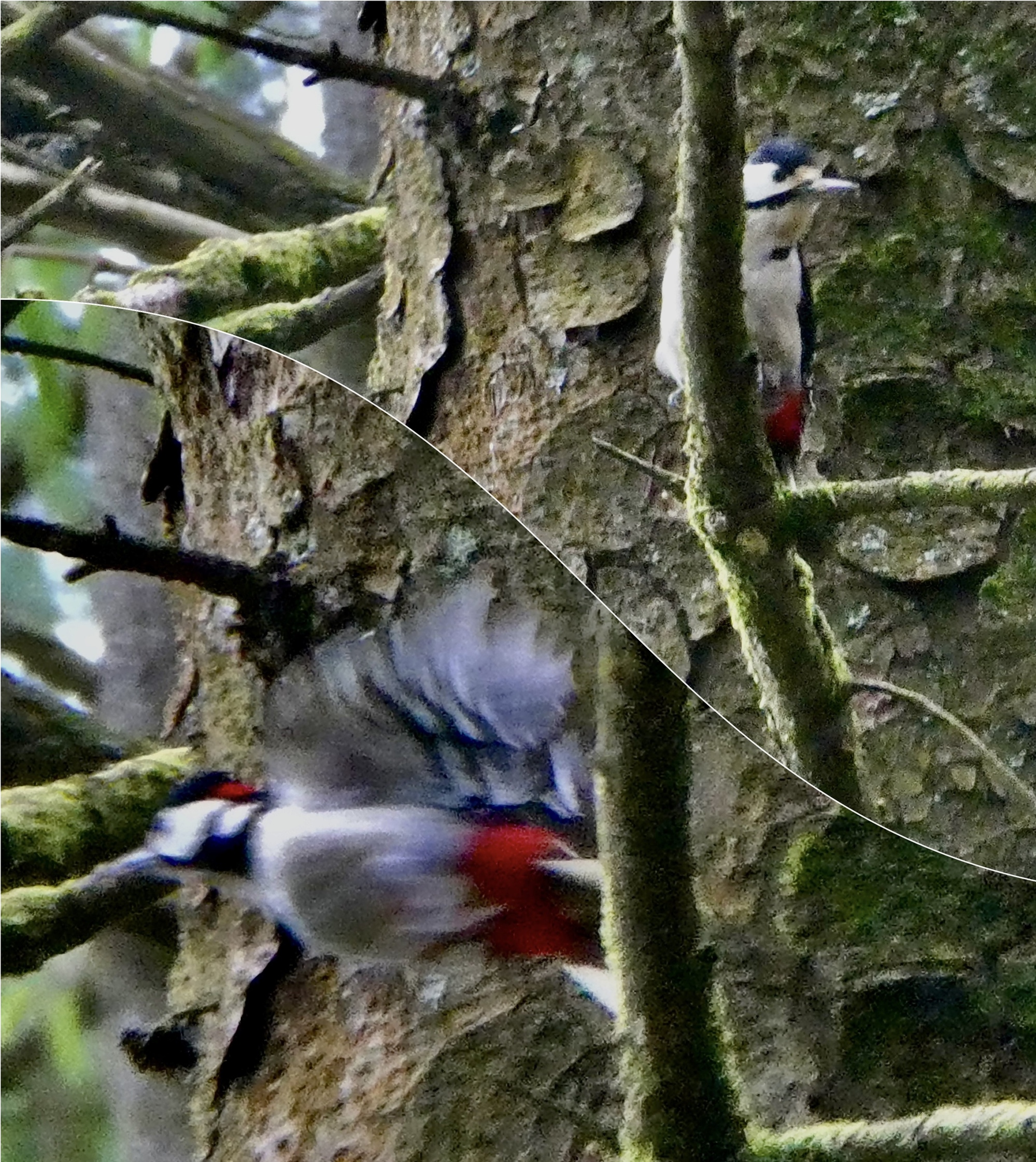
In a day packed with delights already, there’s one more right at the end when I get a fleeting look at another lifetime first: #246, a great spotted woodpecker.
I make it back to the bike precisely at four, so with only nine miles to go I’ll be fine for being back in time for another dinner at the Fountain Inn, which doesn’t open until six anyway. It’s slow going though - several of the miles are on very narrow, rather rough and potholed lanes with a grass/dirt centerline that you can’t take fast even going downhill.
It’s just five when the phone call comes, with Rachel worried about me because she can’t track my location for some reason. As soon as I come to a place I can stop I return the call, and while we’re talking I’m watching two bunnies grazing the meadow in front of me. I’m just over two miles from home and it’s mostly downhill, so I tell her that I’ll be home soon. But I’m not, because even though it’s mostly downhill there’s the last bit of this climb I’m on to get over and then there’s another 13 percenter beyond that.
So I don’t make it back until 5:30. Still, plenty of time since dinner is only a five minute walk from here. Not enough time to filter through the 400 photos I come back with (they really add up when you take ten shots of the same bird or pony!) so I can show them at dinner though. That will have to wait.