Day 61: Vila Real to Amarante - Grampies Iberian Inquisition Spring 2023 - CycleBlaze

May 1, 2023

Day 61: Vila Real to Amarante


Heart 0 Comment 0

Having been crowded out yesterday by the hordes at the breakfast buffet, we carefully checked on the earliest time, and finding this to be 7 a.m., showed up slightly before that. We found some people already there, but successfully got the food and back to our table. It was only on the second round, by then 7:30, that I ran into problems. I said "I'm going for a second coffee and some pastel de nata" and confidently headed off. But soon I was back, empty handed. We had to send the much more capable Dodie in. Ahh, yummy success!

Steve has no hope with this type of competition.
CaptionCutAdd line aboveAdd line belowDelete
Heart 0 Comment 0
The problem is parked outside.
CaptionCutAdd line aboveAdd line belowDelete
Heart 0 Comment 0
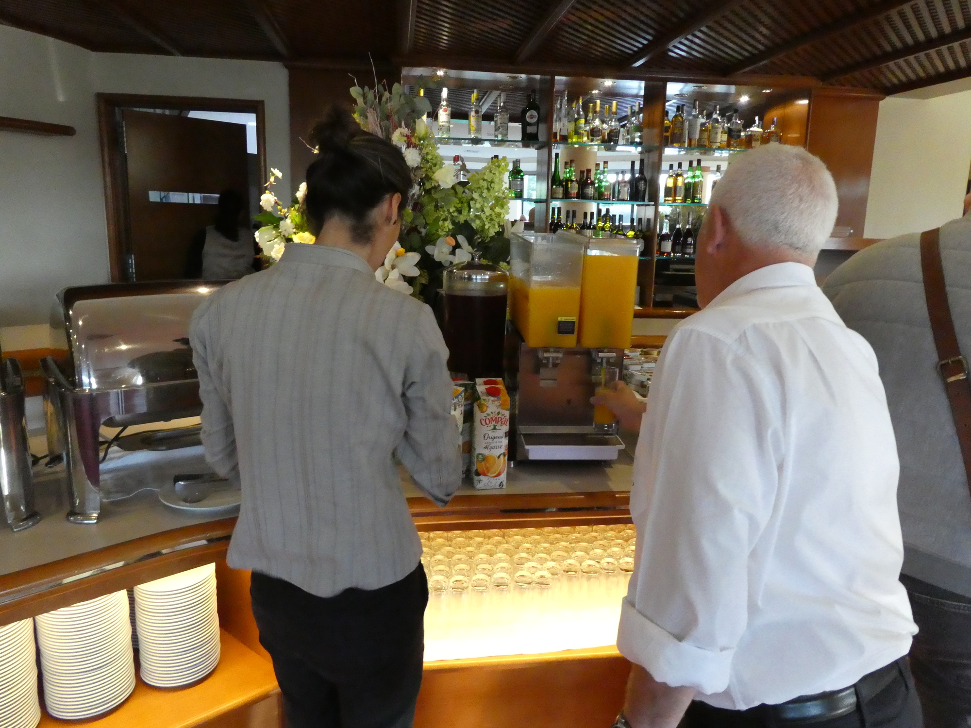
One other breakfast beef. Only about 1/4 of establishments are using real orange juice, in this land where oranges are dripping from tree everywhere. As you see here, the staffer is emptying juice boxes into the juice dispenser. One good thing, the juice boxes say the oranges used are from Alentejo. Back home, I would really appreciate the chance to buy such juice, but here - spoiled!
CaptionCutAdd line aboveAdd line belowDelete
Heart 1 Comment 0

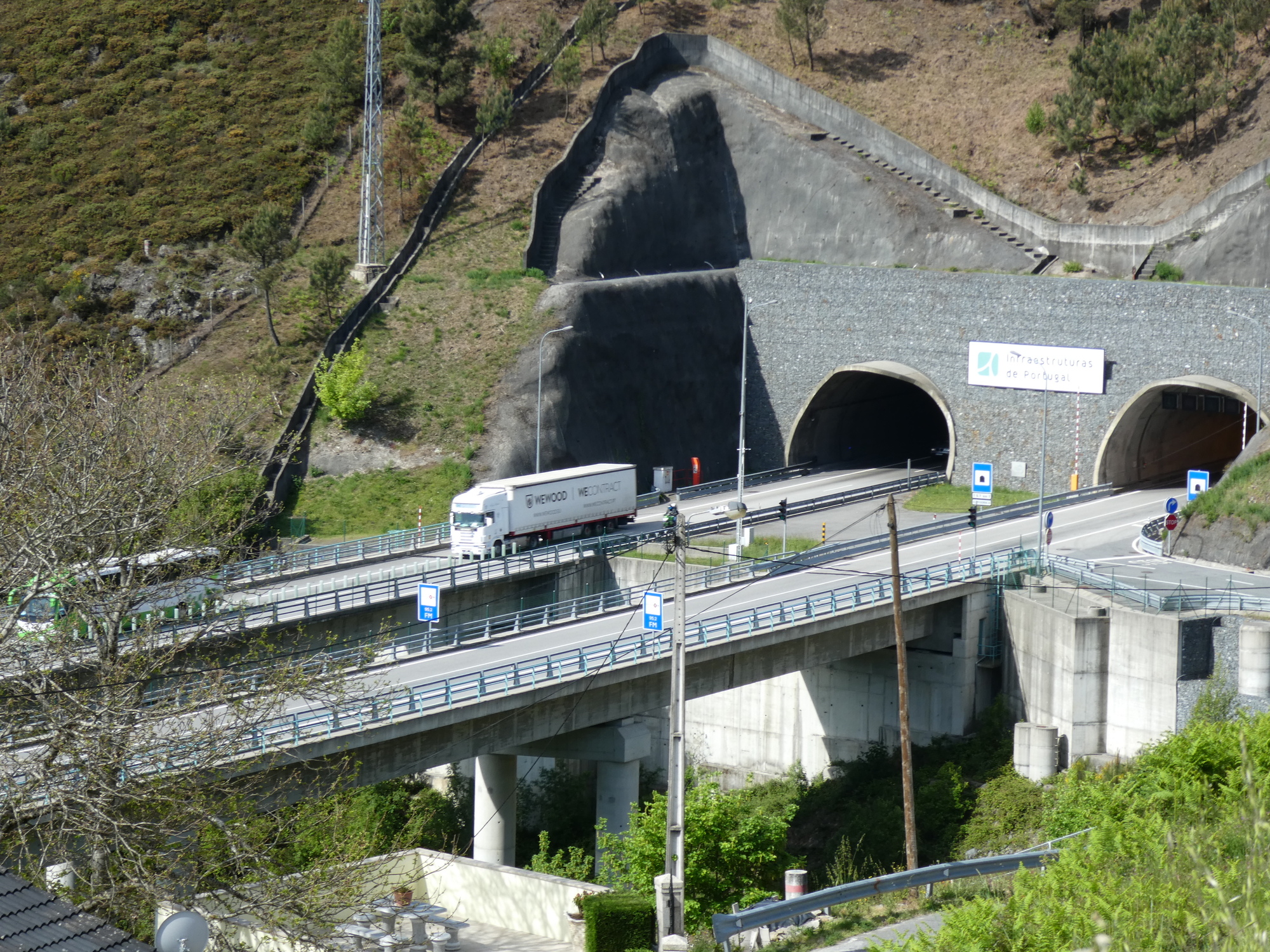
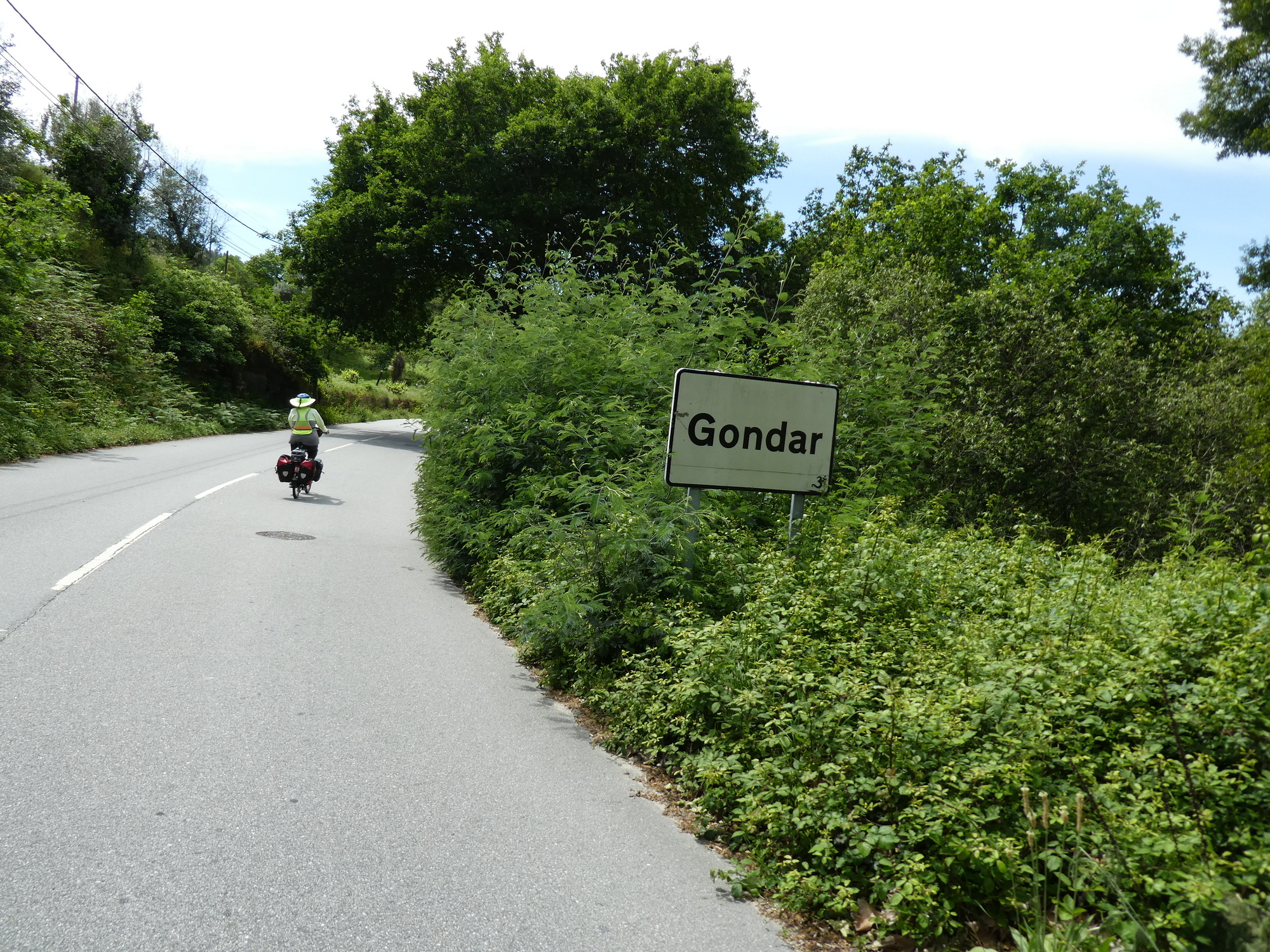
We have been rather winging it in terms of what towns to go to next, and how to get there. Having selected Amarante, 50 km to the northwest, as our next target, we spent some time with several routing sites to find the way. One of our favourites is cycle.travel, because it has the option of specifying paved roads only. However after setting out a 50 km "any roads" route, cycle.travel ballooned to 65 km and a way different track, when asked for paved roads. In the end we went with "plain vanilla" Google Maps, which recommended to backtrack slightly on N2 and then to go with N15 all the way.

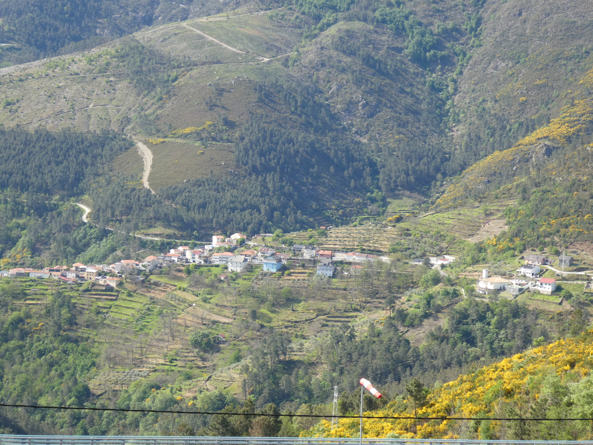
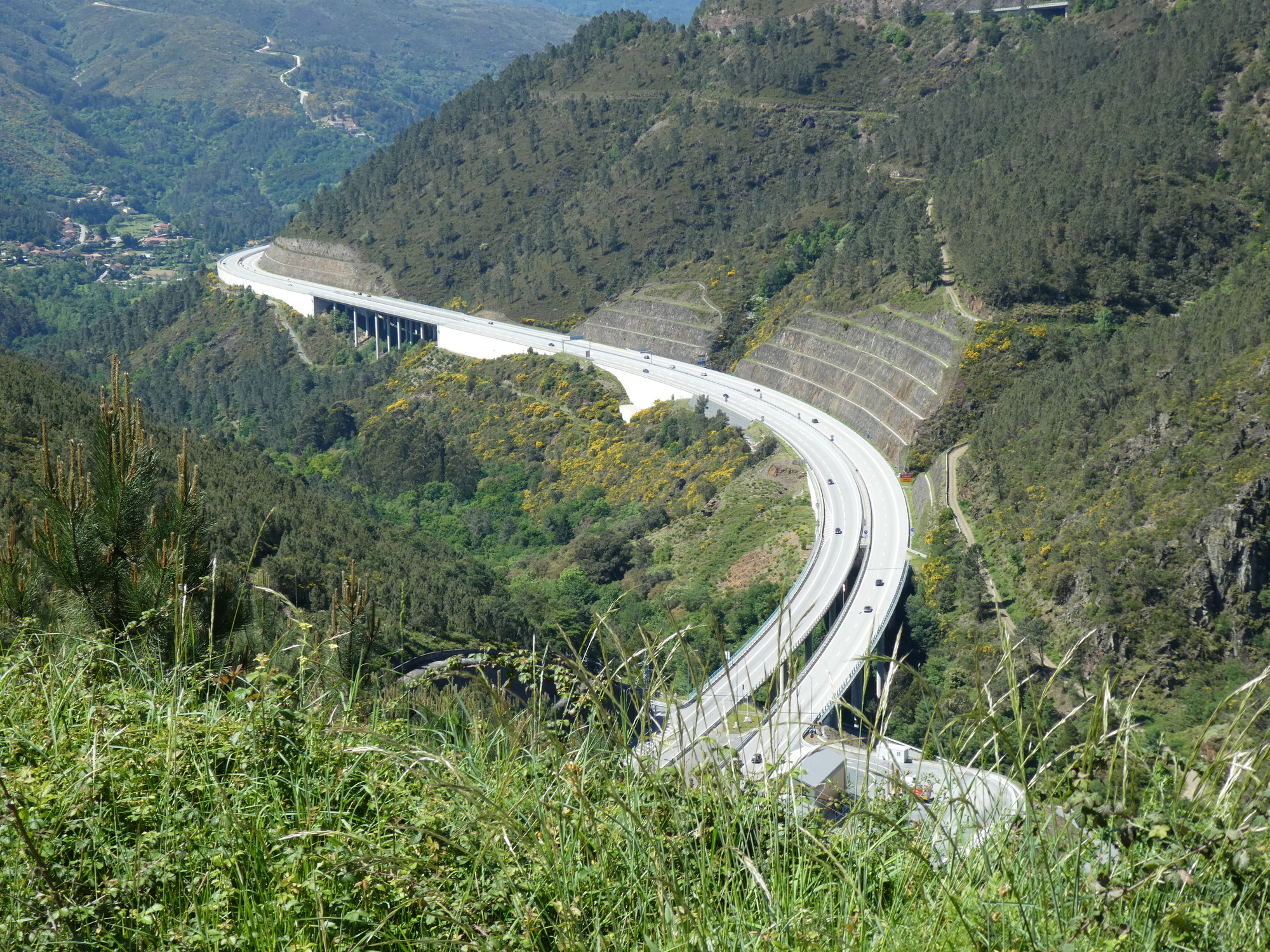
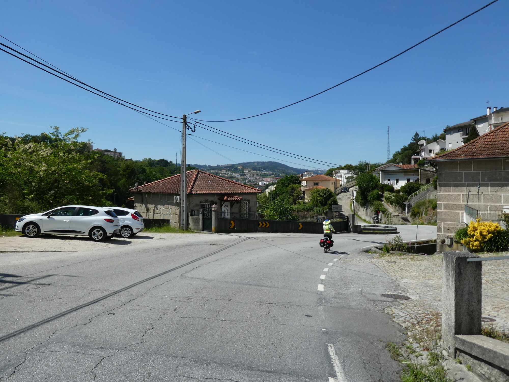
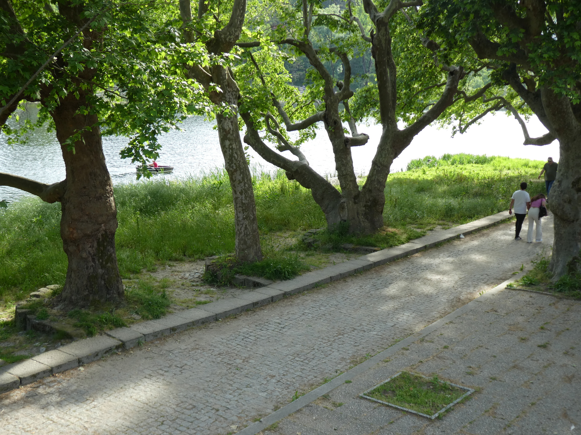
The N15 turned out to be a most amazing and heart stopping choice. To summarize, it curved and climbed nonstop for 20 km, before curving and dropping nonstop for 30 km. On that descent, by nonstop we mean there was nary a pedal stroke needed in the whole distance. The route ran way up into the mountains, and in your peripheral vision were deep chasms that you would prefer not to plunge into. The whole thing was really aided by there being few to almost no cars on the road, until very close to Amarante. This was the kind of thing where tour companies could take people to the top and giving them a slight shove, have them whiz down. It deserves to be a recognized draw in Portugal cycling!

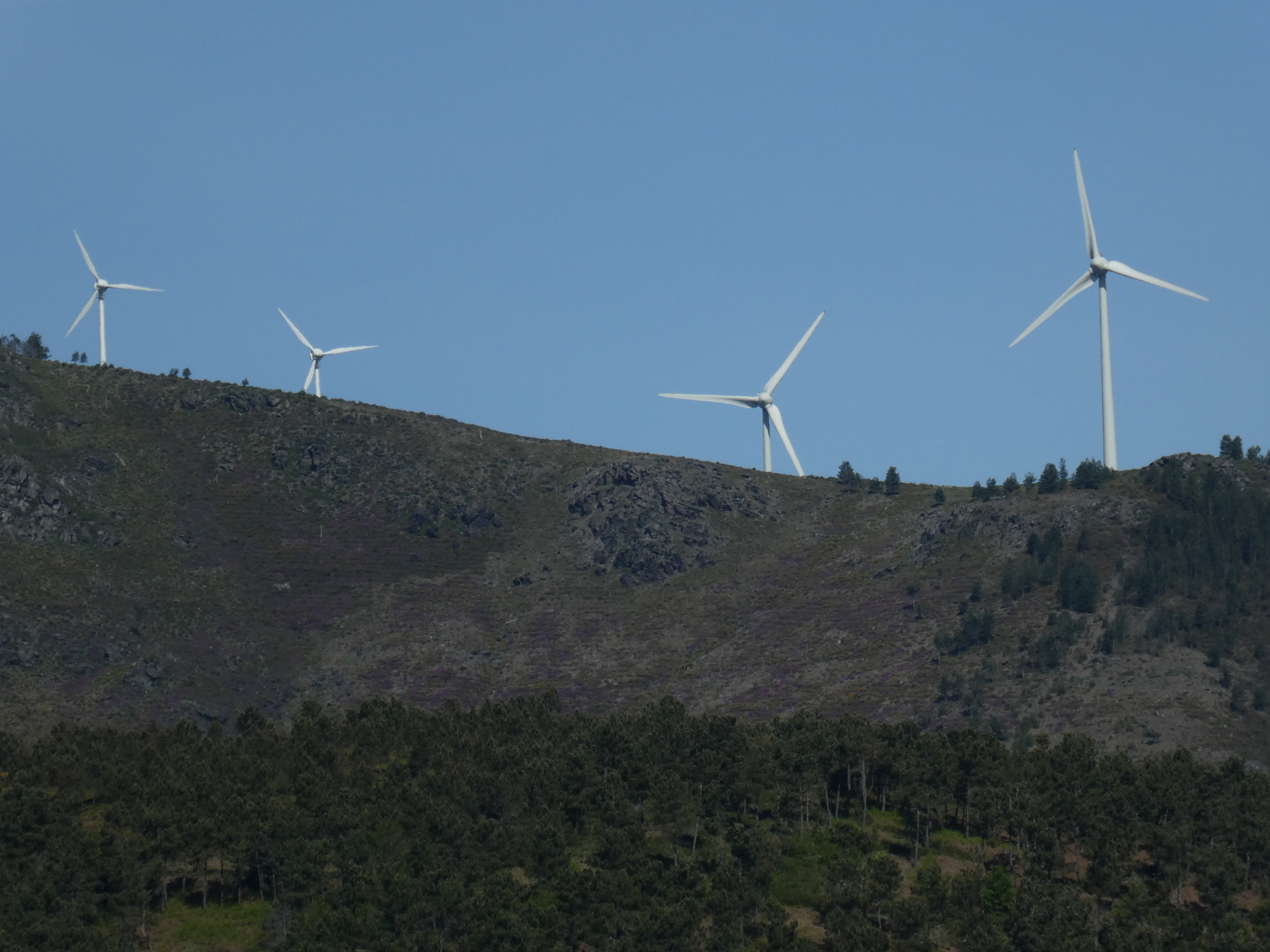
Very quickly out of of Vila Real we were climbing, and also looking ahead to some serious mountains. "We sure hope we are not going up there!" Actually, to a significant extent, we were!
CaptionCutAdd line aboveAdd line belowDelete
Heart 2 Comment 0
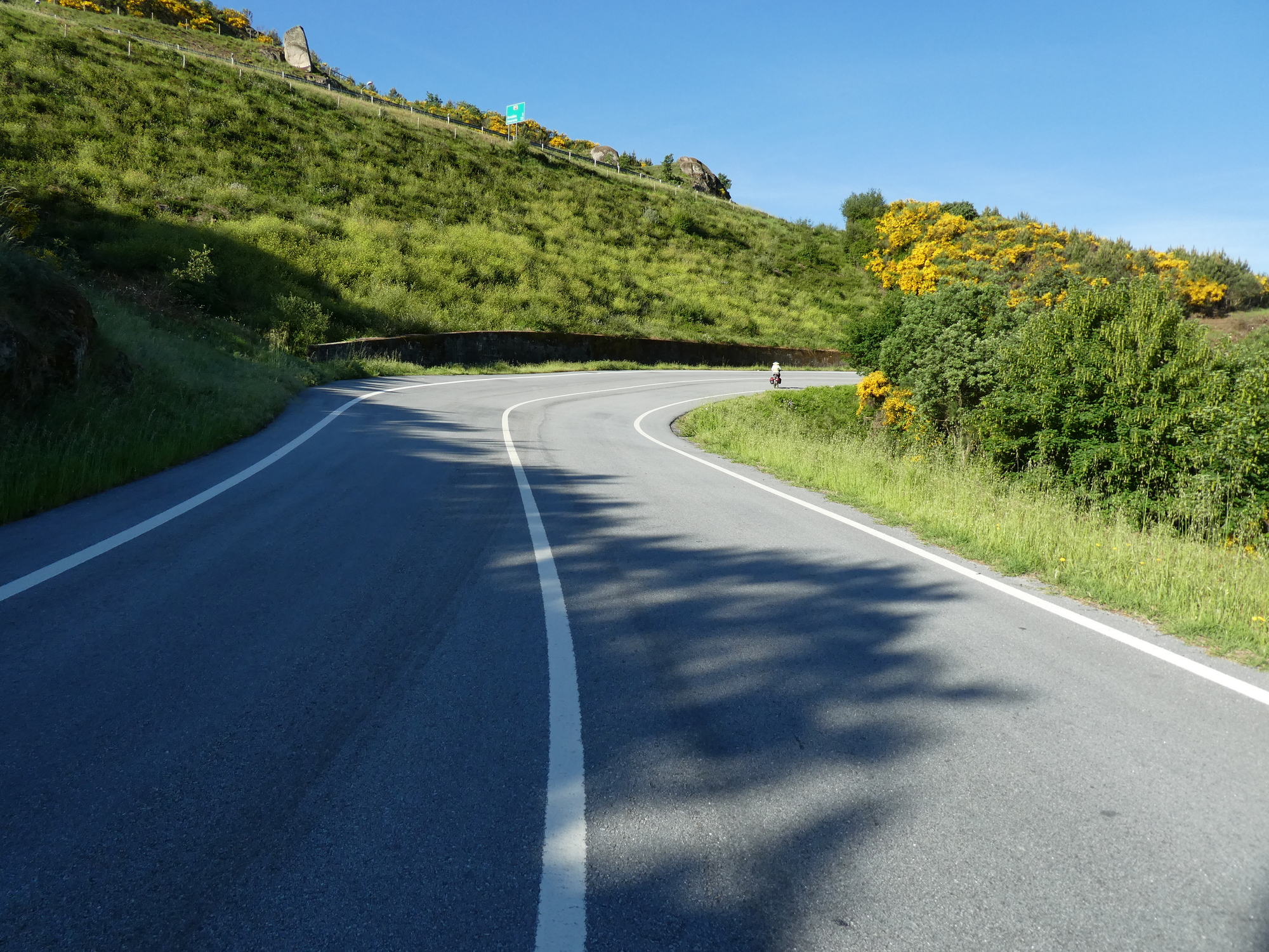
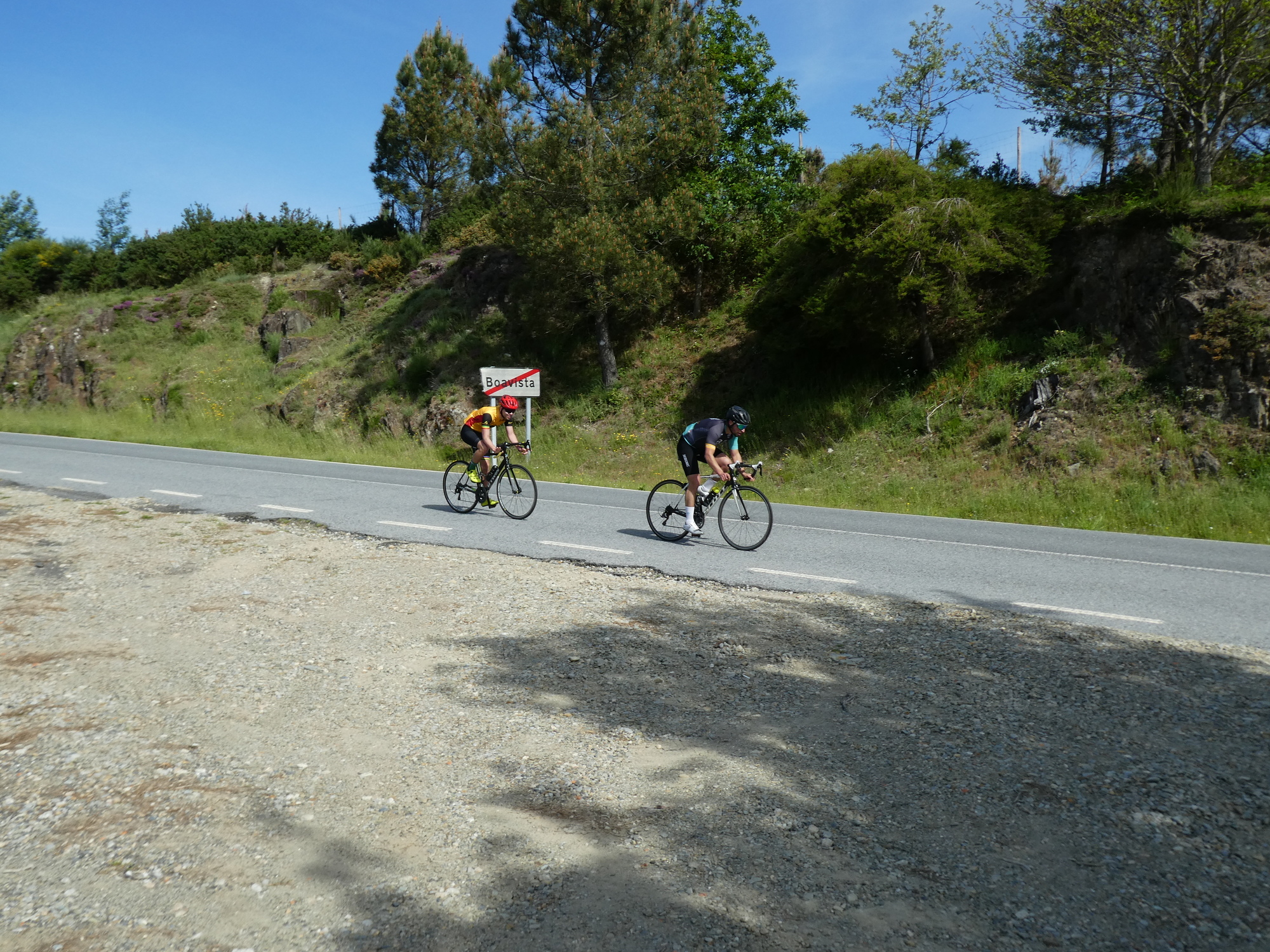
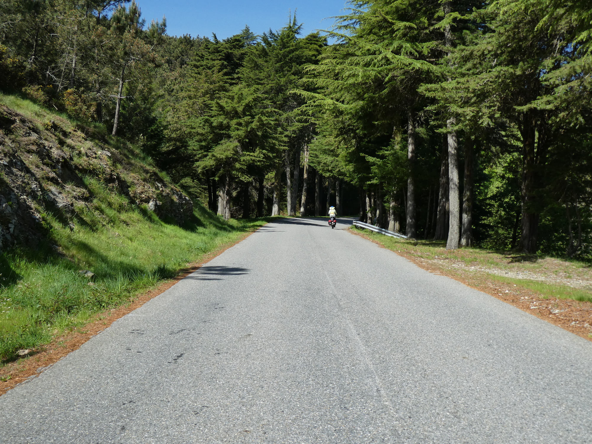
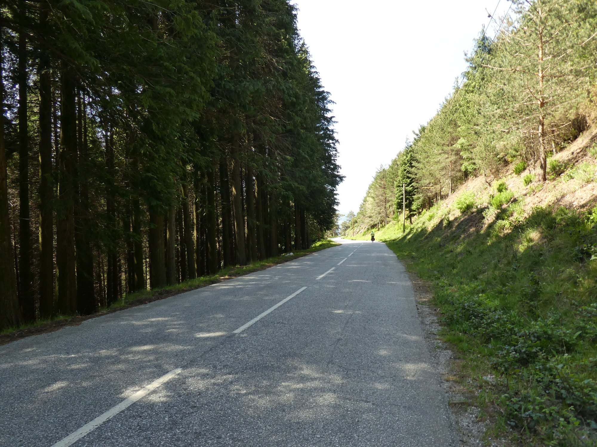
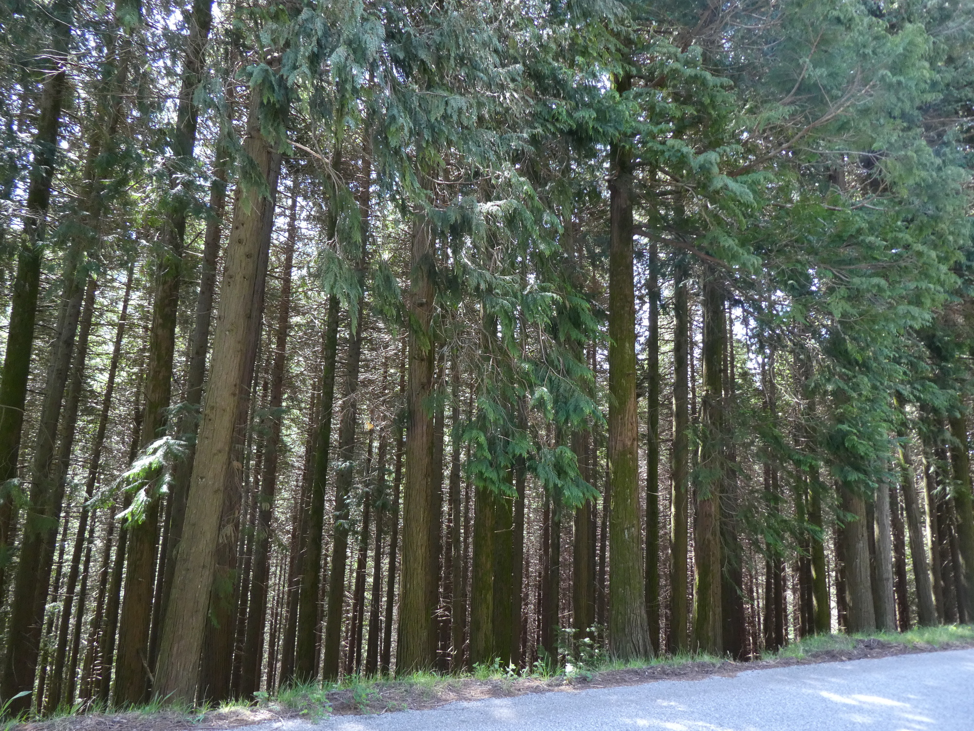
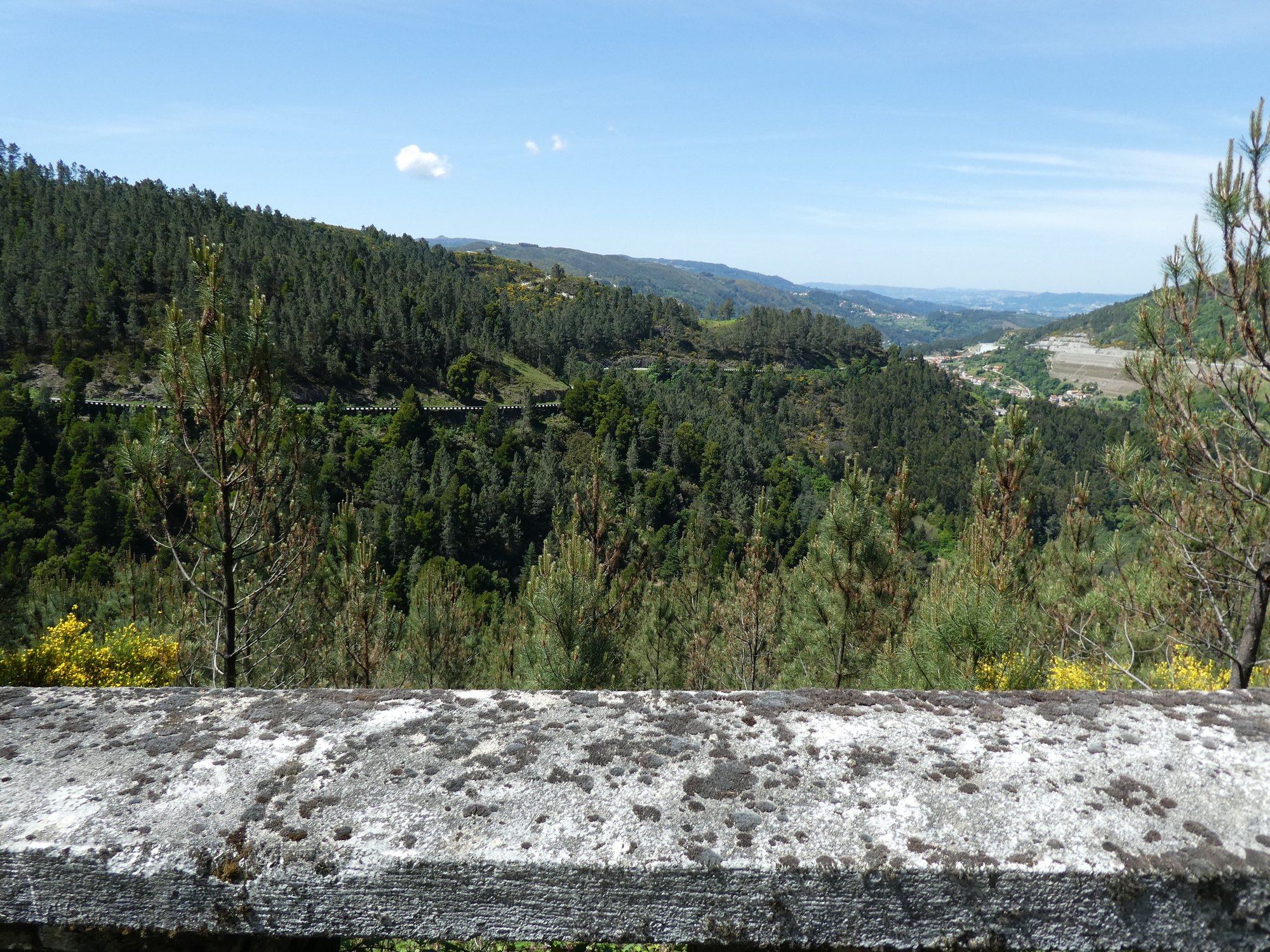
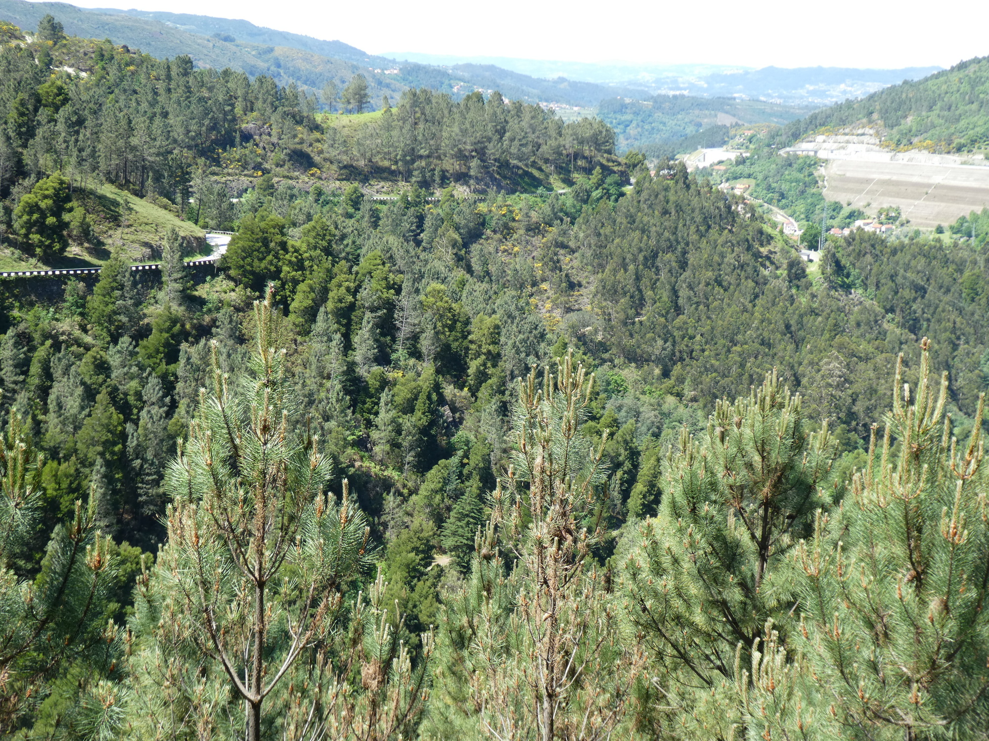
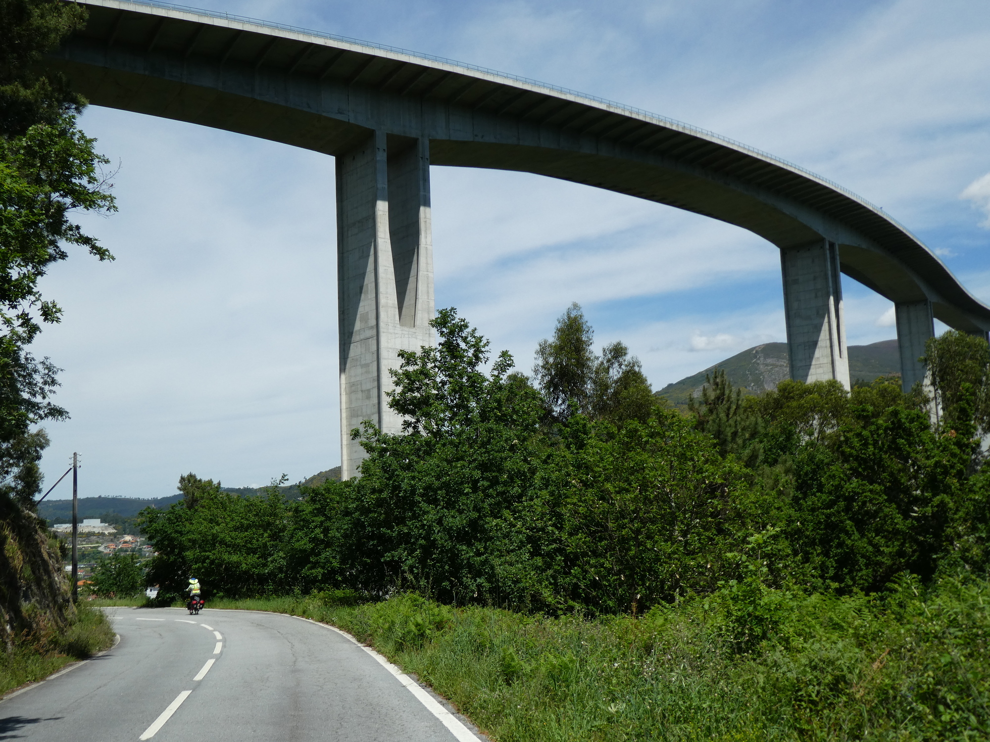
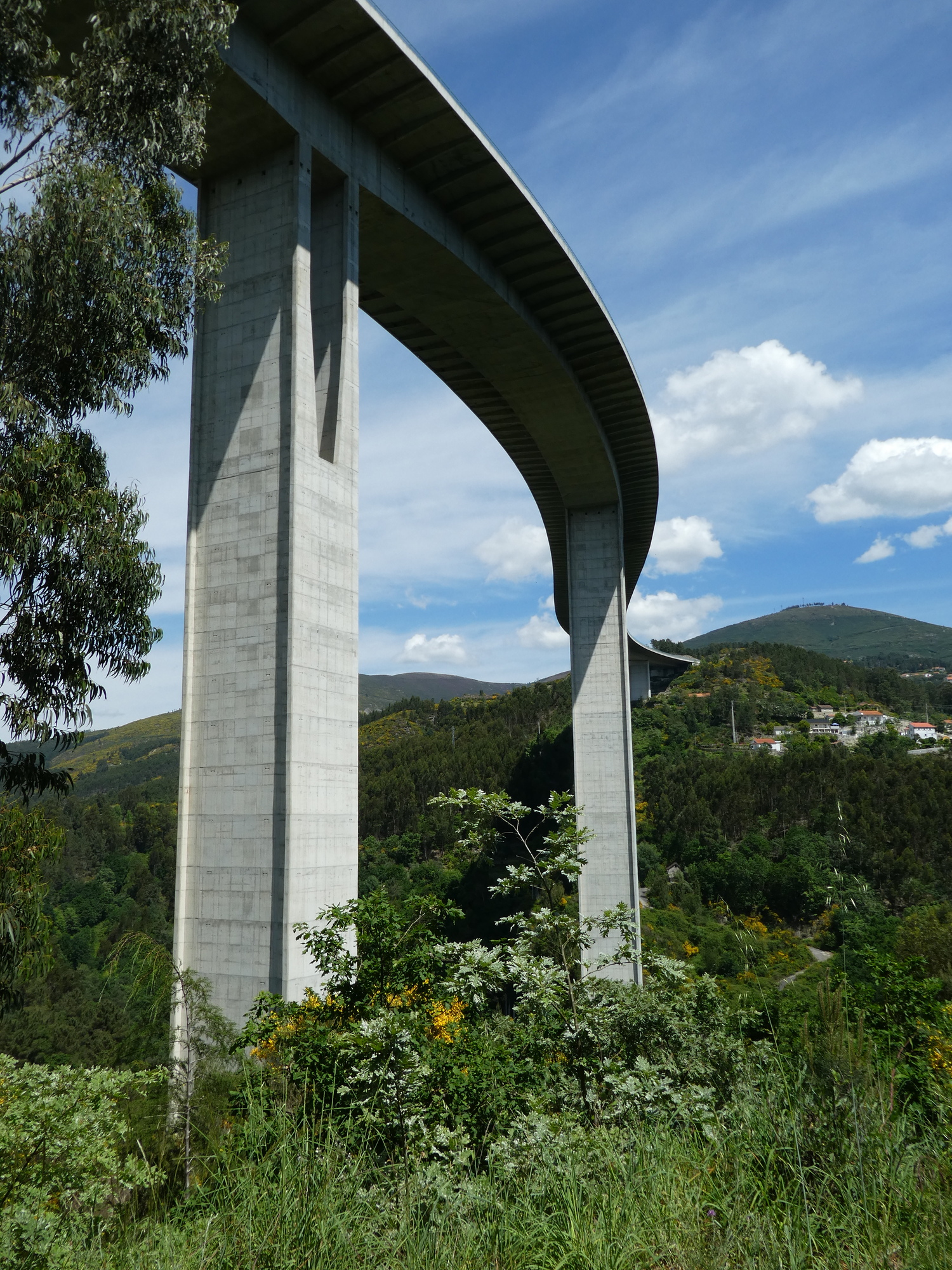
The road was super - well paved mostly and largely car free. I took this shot to show that, but also the road one level higher. Often there were three height levels of roads going on - these could be independent roads, or switchbacks of your own road.
CaptionCutAdd line aboveAdd line belowDelete
Heart 0 Comment 0
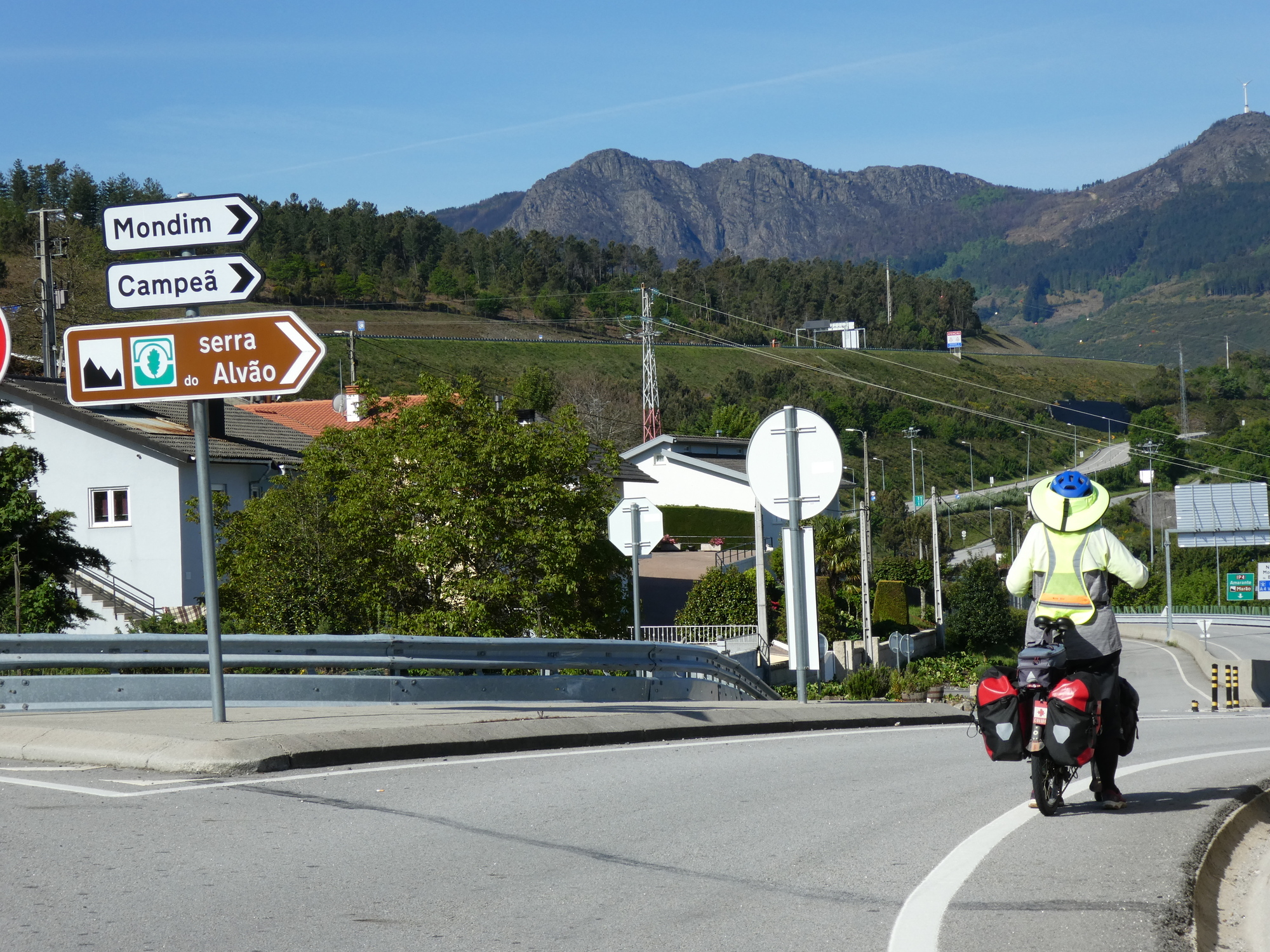
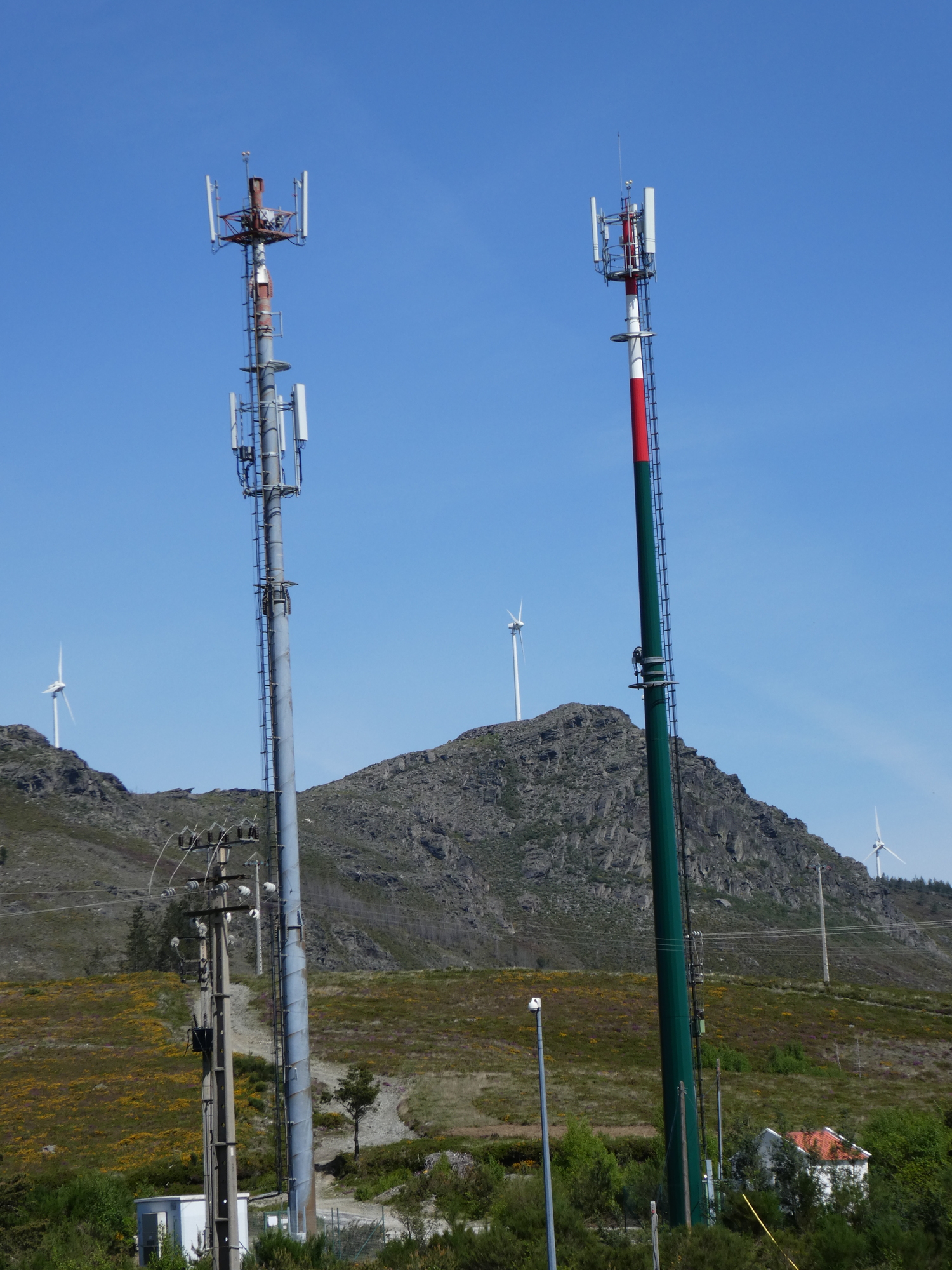
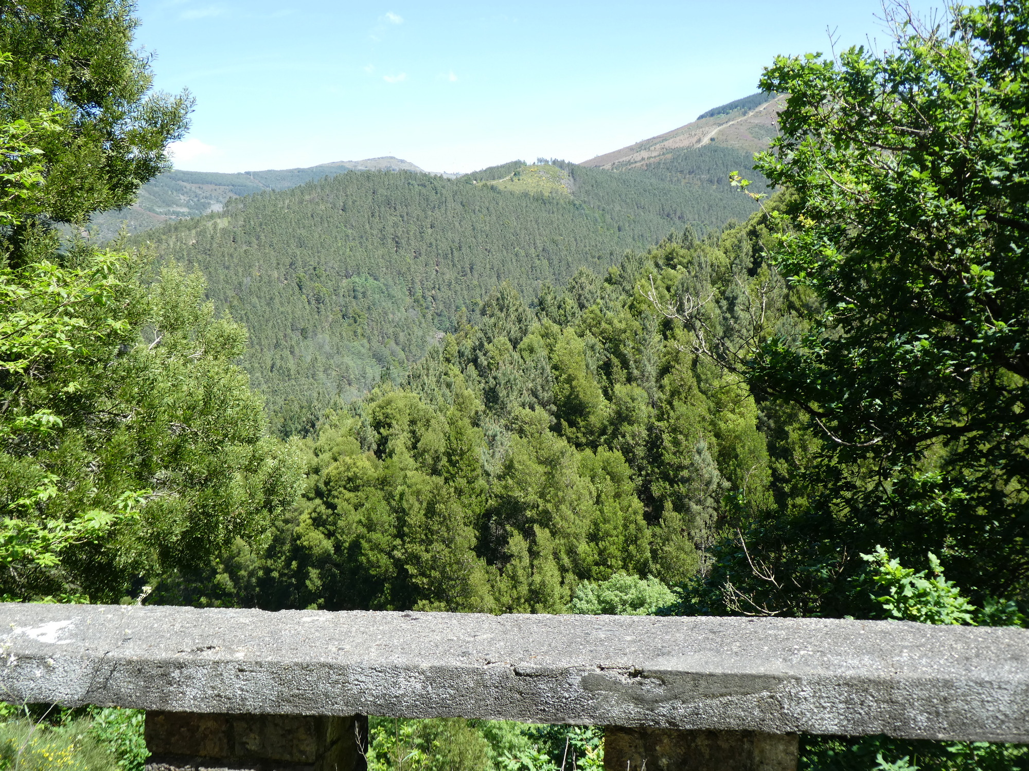
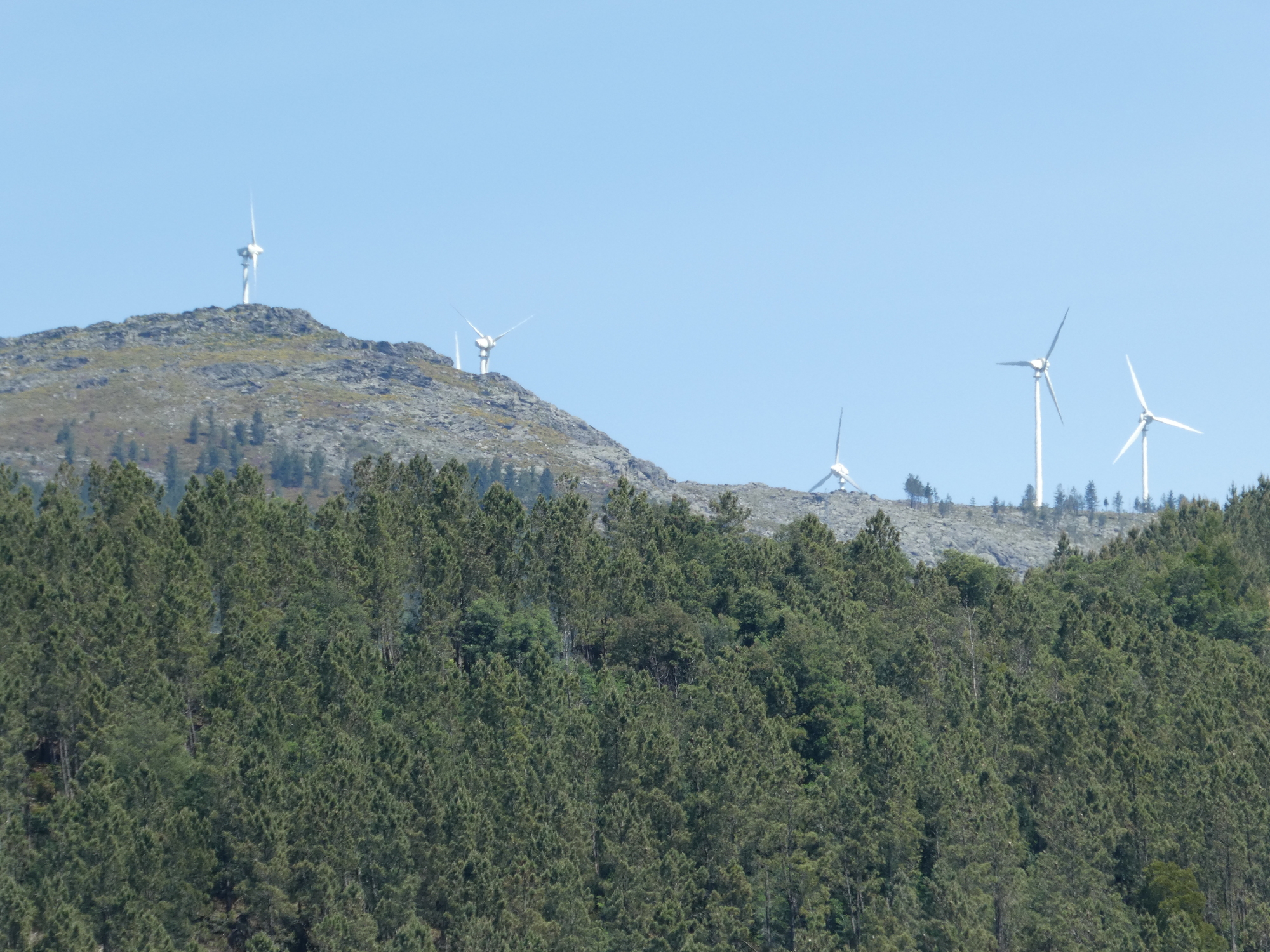
My map showed us to be toying with the Serra do Alvao mountain range, and sure enough there is the road sign. We figured at this stage that we were headed for that black monolith straight ahead, and we were.
CaptionCutAdd line aboveAdd line belowDelete
Heart 1 Comment 0
I took this just to note where we were, but I was not hoping for any "good vistas". We got them, though!
CaptionCutAdd line aboveAdd line belowDelete
Heart 1 Comment 0
See the cell towers on the right? We would 'soon" be there.
CaptionCutAdd line aboveAdd line belowDelete
Heart 0 Comment 0
The smart travelers were having none of it - they took this tunnel, which bored 5 km straight through the mountain.
CaptionCutAdd line aboveAdd line belowDelete
Heart 0 Comment 0
Here we are again beginning to shoot "from an airplane" views of villages below!
CaptionCutAdd line aboveAdd line belowDelete
Heart 0 Comment 0
Road cyclists like it here. They can achieve frightening speeds!
CaptionCutAdd line aboveAdd line belowDelete
Heart 1 Comment 0
See the road to the wind turbine? We are not going quite there.
CaptionCutAdd line aboveAdd line belowDelete
Heart 0 Comment 0
Not quite at the top with the turbines, but close!
CaptionCutAdd line aboveAdd line belowDelete
Heart 0 Comment 0
High in the hills here, we began to see cedars and other evergreens. It almost felt like Canada.
CaptionCutAdd line aboveAdd line belowDelete
Heart 0 Comment 0
At some altitude, these roadside flowers were plentiful
CaptionCutAdd line aboveAdd line belowDelete
Heart 0 Comment 1
Bill ShaneyfeltAsphodel
https://en.wikipedia.org/wiki/Asphodelus
Reply to this comment
11 months ago
The flowers had bees like this one.
CaptionCutAdd line aboveAdd line belowDelete
Heart 3 Comment 1
Bill ShaneyfeltLooks like a honey bee.

https://en.wikipedia.org/wiki/Western_honey_bee
Reply to this comment
11 months ago
And also ones like this - coming in for a landing!
CaptionCutAdd line aboveAdd line belowDelete
Heart 0 Comment 1
Colourful and furry.
CaptionCutAdd line aboveAdd line belowDelete
Heart 1 Comment 1
Bill ShaneyfeltBuff-tailed bumblebee

https://en.wikipedia.org/wiki/Bombus_terrestris
Reply to this comment
11 months ago
We have now reached as high as we are going to go. That is, as shown by the cell towers' presence, the very top!
CaptionCutAdd line aboveAdd line belowDelete
Heart 0 Comment 0
There was dense cedar forest, as we began the descent.
CaptionCutAdd line aboveAdd line belowDelete
Heart 0 Comment 0
Heart 0 Comment 0

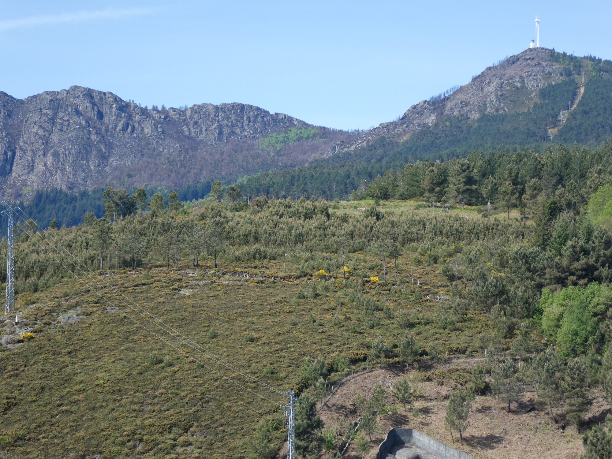
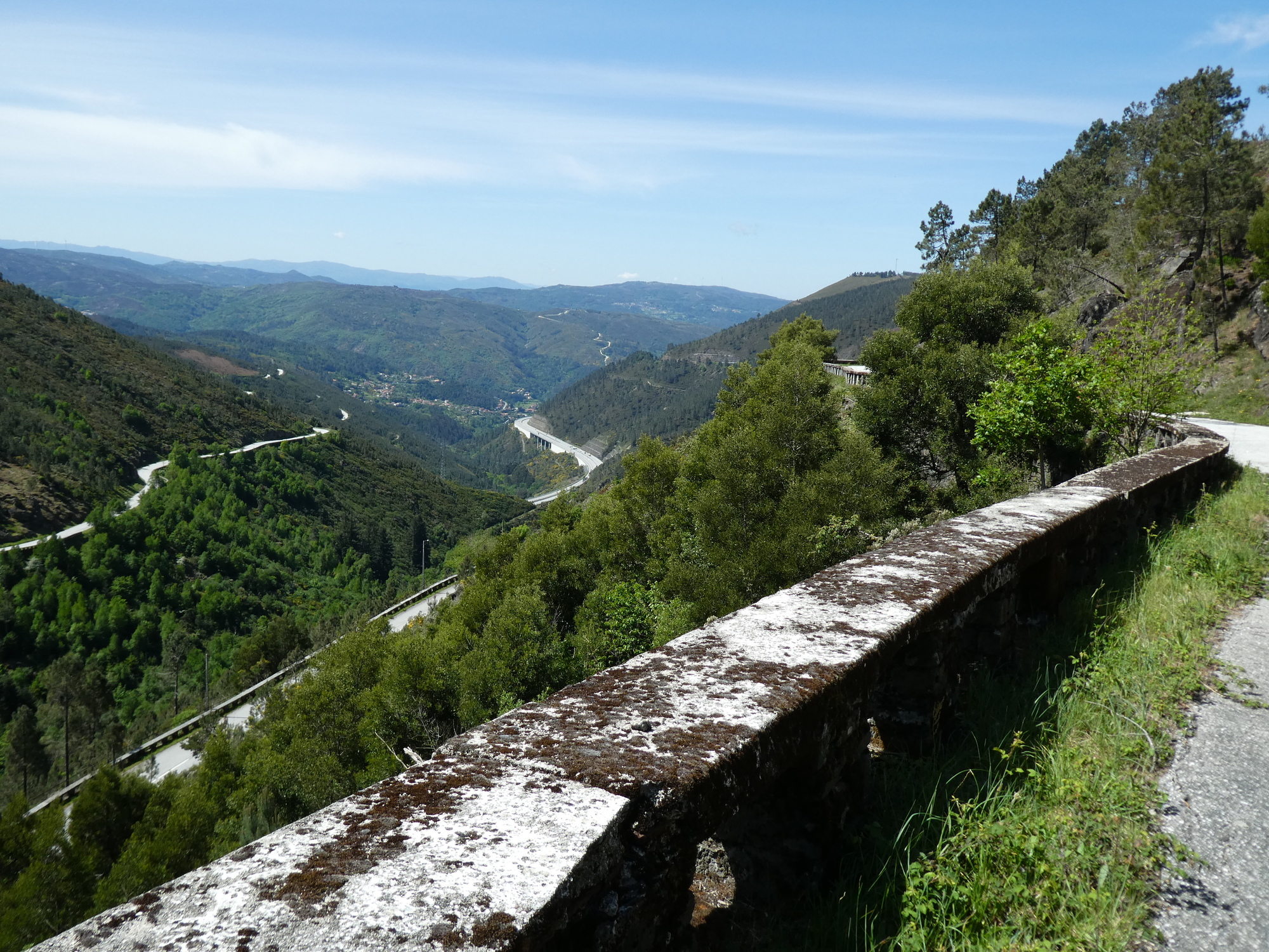
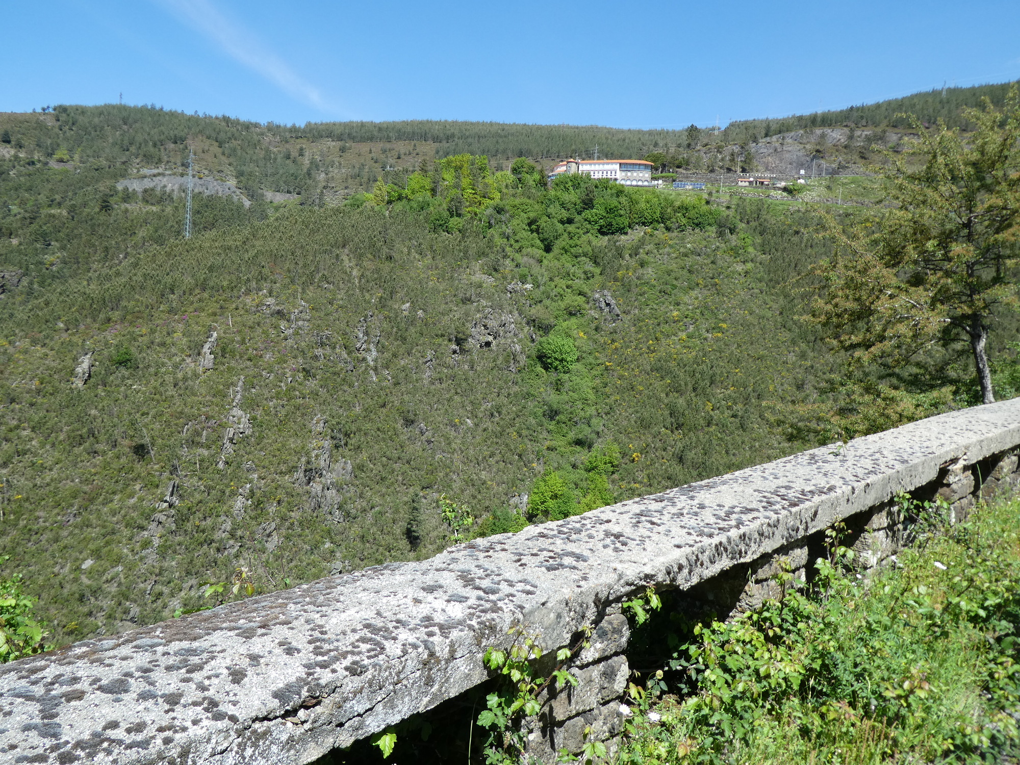
We had not realized just how far up we were, until we repeatedly looked out to see our road ahead way down there, or the way we had just come, from way up there. It was frankly a little scary, especially with the drop offs to our right side. Fortunately there were no cars to force us over there.

The road below on the left is our road!
CaptionCutAdd line aboveAdd line belowDelete
Heart 1 Comment 0
We descended to this pousada, which was really in the middle of nowhere. With this shot we are already below it, but soon we will be far below it!
CaptionCutAdd line aboveAdd line belowDelete
Heart 0 Comment 0
The pousada now seems quite high up, it used to be far below us.
CaptionCutAdd line aboveAdd line belowDelete
Heart 0 Comment 0
We are now above the exit of the tunnel!
CaptionCutAdd line aboveAdd line belowDelete
Heart 0 Comment 0
The line of white dots is the "guard rail" of our road. We will soon be down there.
CaptionCutAdd line aboveAdd line belowDelete
Heart 0 Comment 0
Looking out at the tree tops does not do my stomach any good!
CaptionCutAdd line aboveAdd line belowDelete
Heart 1 Comment 0
In the centre of the photo, see the greyish bump with forest below, that's where we came from!
CaptionCutAdd line aboveAdd line belowDelete
Heart 0 Comment 0
Closeup of the greyish bump.
CaptionCutAdd line aboveAdd line belowDelete
Heart 0 Comment 0
At Candemil we were starting to be below the big roads.
CaptionCutAdd line aboveAdd line belowDelete
Heart 0 Comment 0
How do you build these? Surely not with a bucket of concrete a shovel and a hose - the kind of method we use on the farm.
CaptionCutAdd line aboveAdd line belowDelete
Heart 0 Comment 0
We got low enough to see grapes again. Dodie liked the trellising for these.
CaptionCutAdd line aboveAdd line belowDelete
Heart 0 Comment 0
This house among the grapes seems abandoned. Too bad.
CaptionCutAdd line aboveAdd line belowDelete
Heart 0 Comment 0
This has been a wild ride, but we did not expect to land in "Gondar"!
CaptionCutAdd line aboveAdd line belowDelete
Heart 1 Comment 0
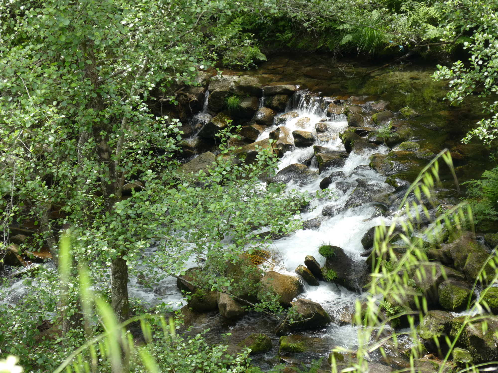
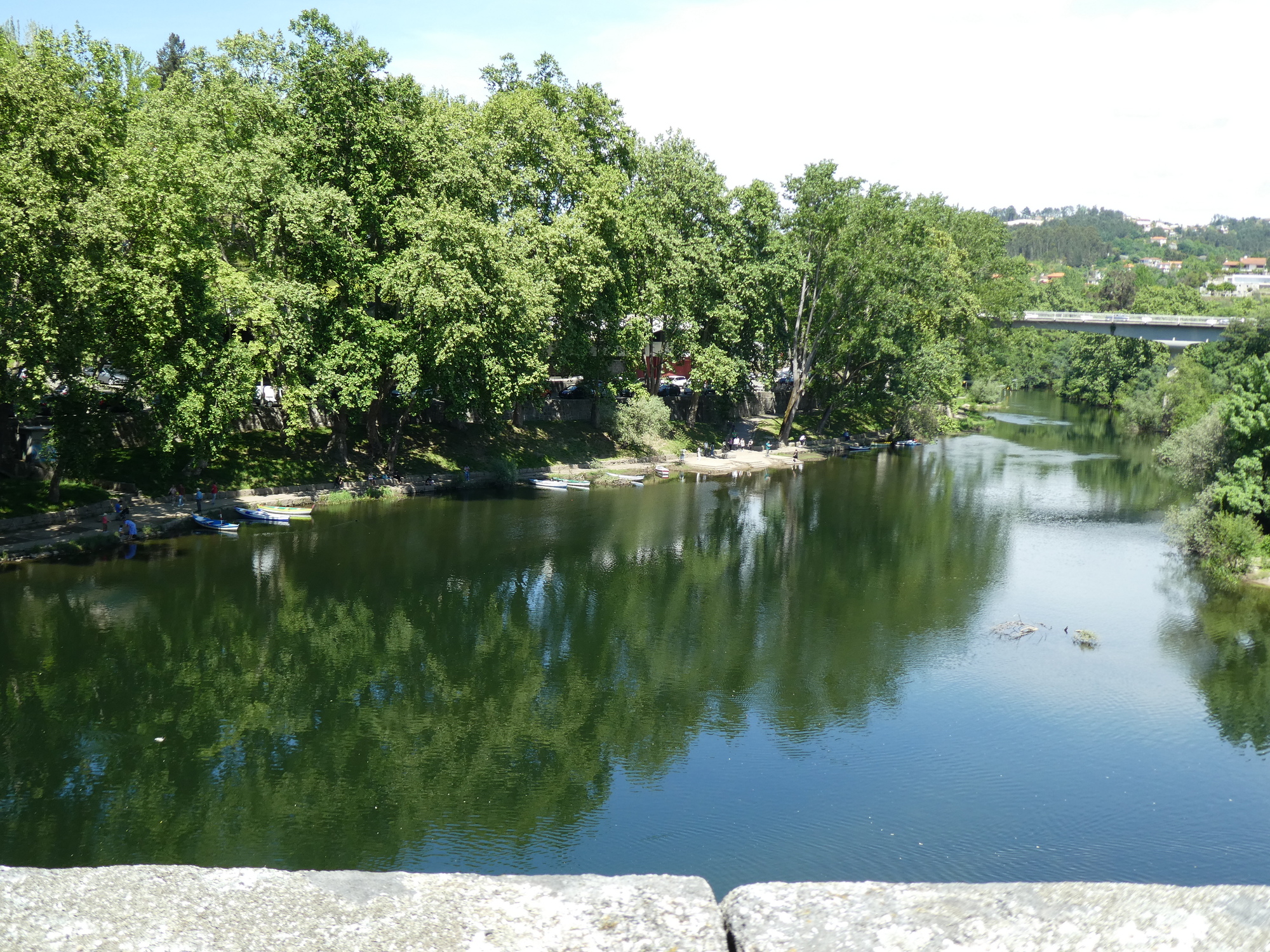
A lot of the gorge we were following in the last 10 km of the ride was due to this tributary of the Tamega, which is the tributary of the Douro. The Tamega runs by Amarante.
CaptionCutAdd line aboveAdd line belowDelete
Heart 0 Comment 0
A nice planting.
CaptionCutAdd line aboveAdd line belowDelete
Heart 0 Comment 0
Amarante is down on the left. The road in does not let up, it is down, down, but now with traffic.
CaptionCutAdd line aboveAdd line belowDelete
Heart 0 Comment 0
We have arrived, measured by here is the church, but we have not found our hotel yet.
CaptionCutAdd line aboveAdd line belowDelete
Heart 2 Comment 0
There seems to be several walking street areas here, but we are mainly interested in passing through quickly to find the hotel, and some rest.
CaptionCutAdd line aboveAdd line belowDelete
Heart 0 Comment 0
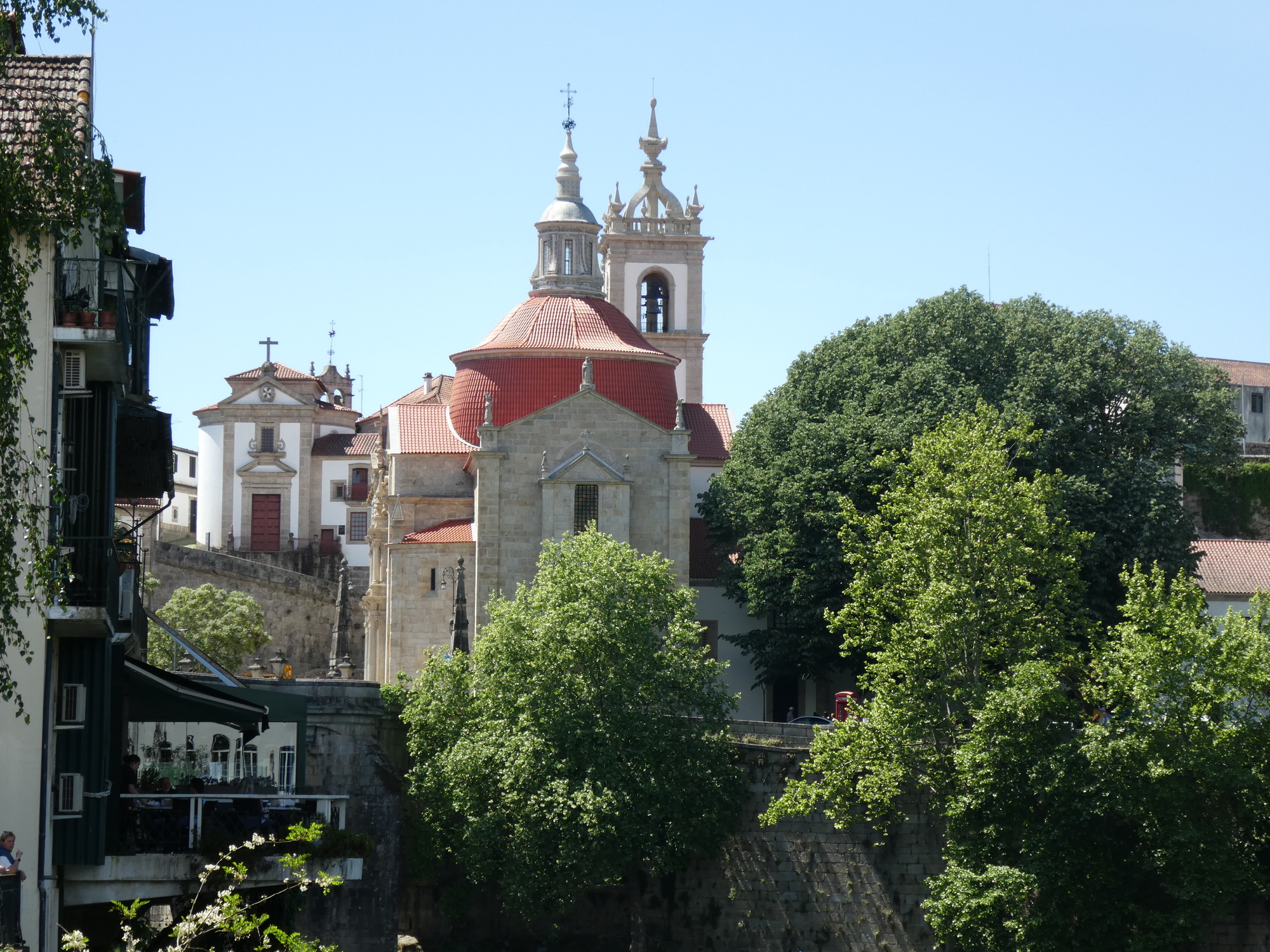
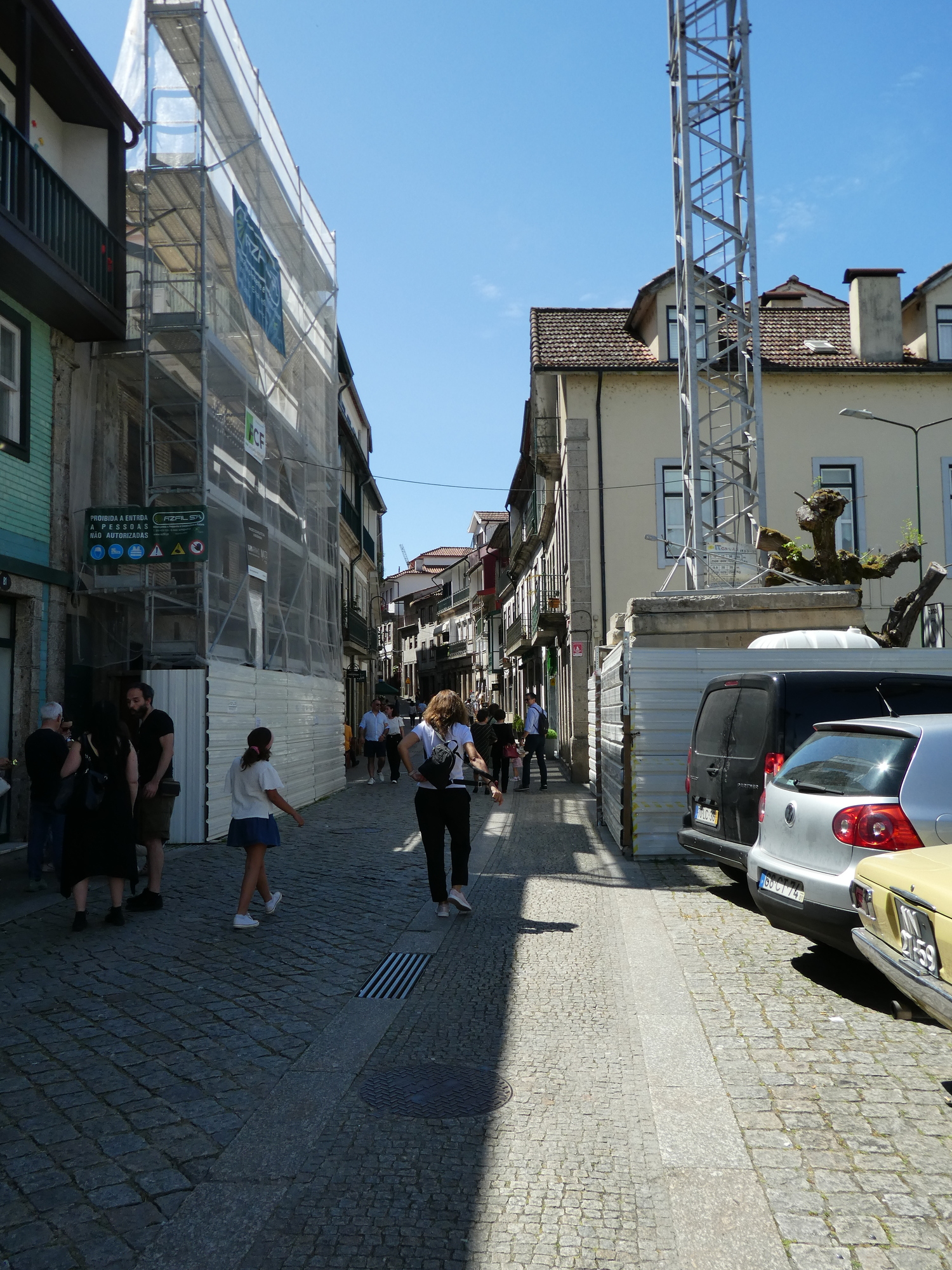
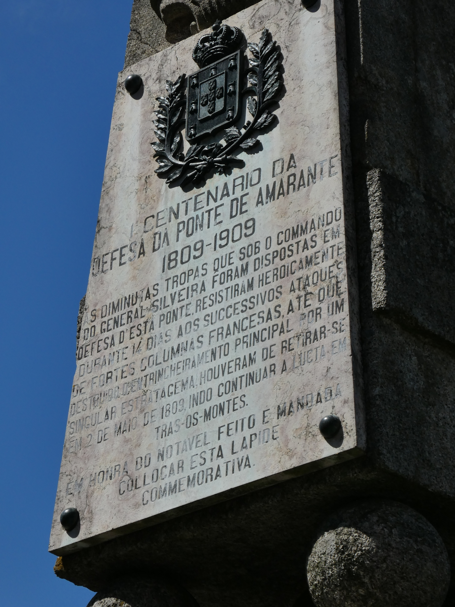
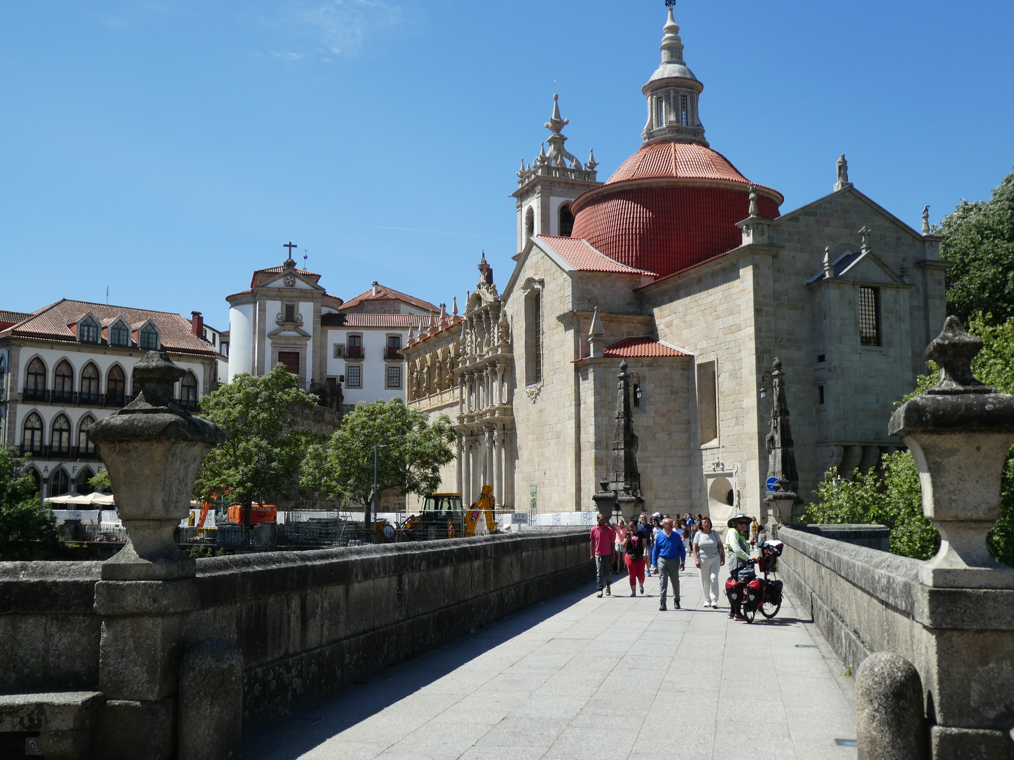
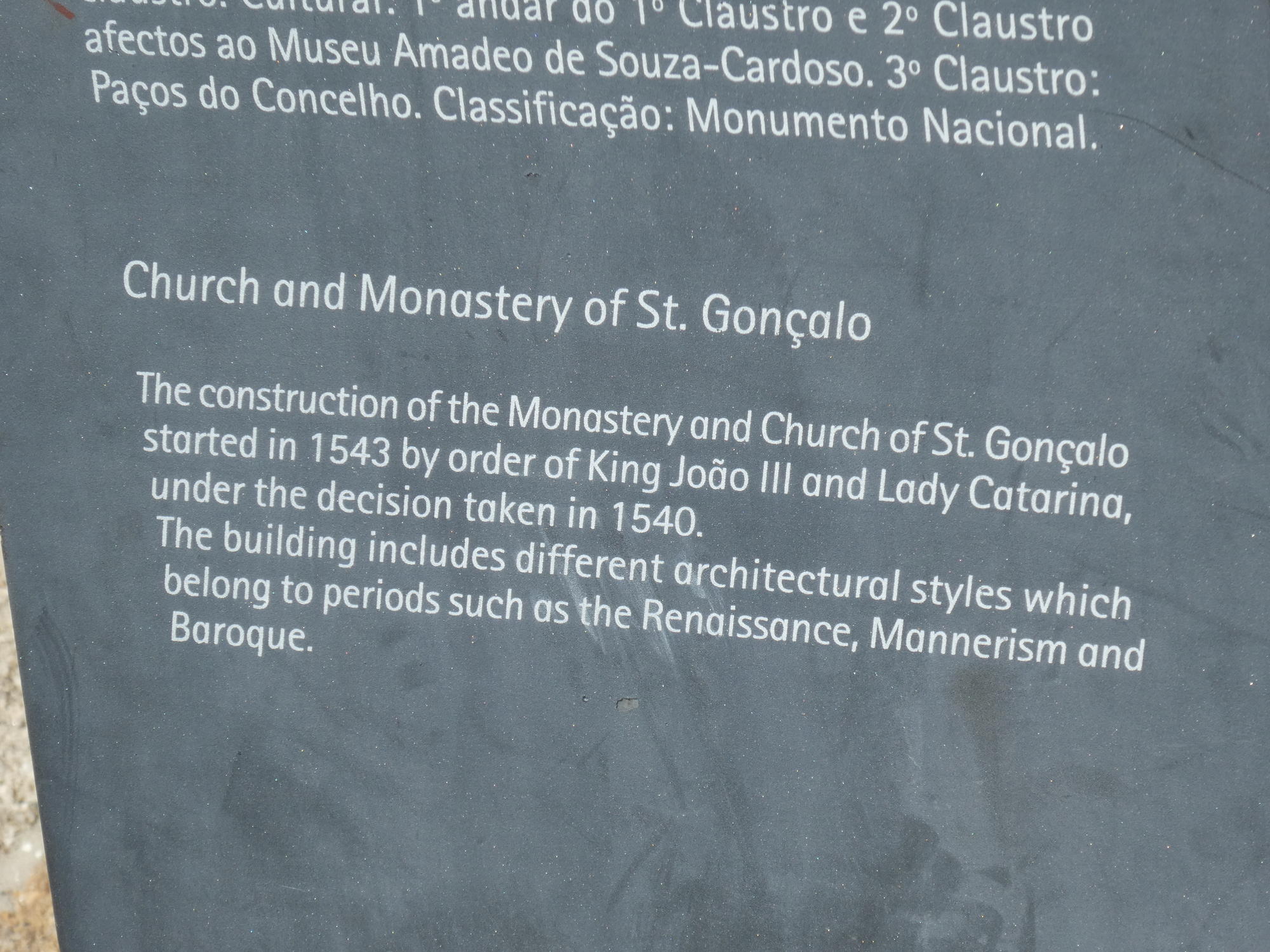
There is a bridge here which is famous for having been part of a defence against the French when Napoleon invaded. This hastily snapped shot is from before we learned all about it. The bridge is also known as the S. Goncalo bridge, which is the same name as that on the church.
CaptionCutAdd line aboveAdd line belowDelete
Heart 0 Comment 0
The Tamego near the famous bridge. This also runs by our hotel, accounting for our having gotten a "river view" room.
CaptionCutAdd line aboveAdd line belowDelete
Heart 0 Comment 0
There is apparently damage to those pyramidal columns, from the 1809 fighting, but we did not know to look for it.
CaptionCutAdd line aboveAdd line belowDelete
Heart 0 Comment 0
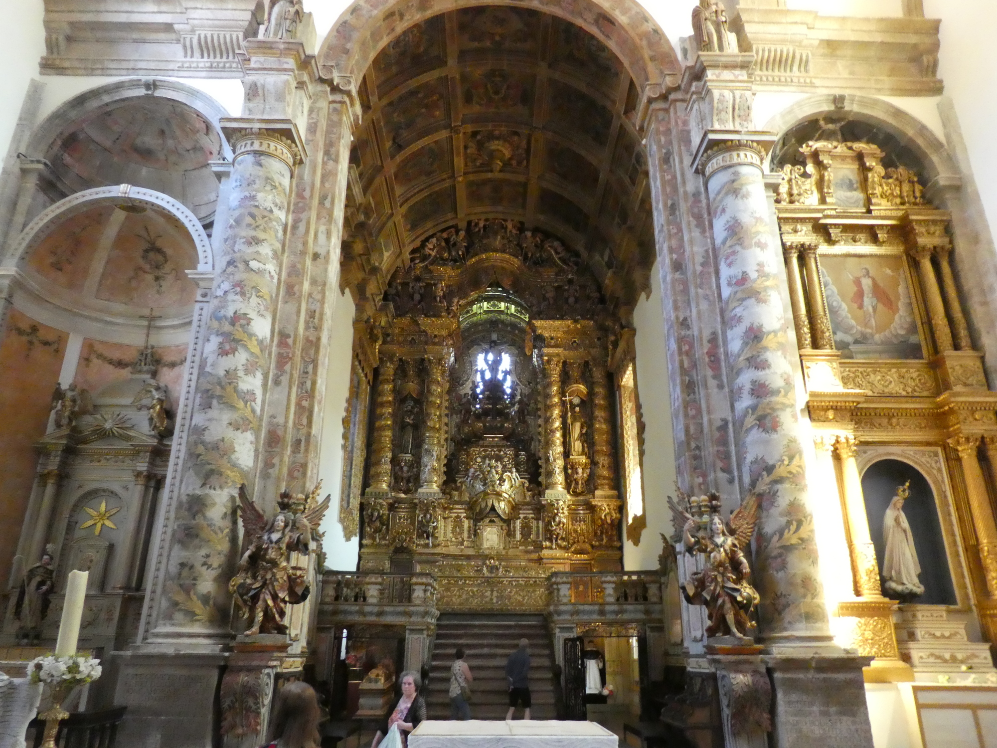
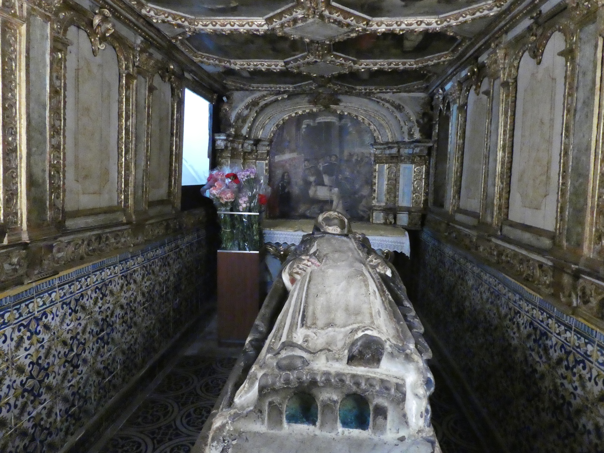
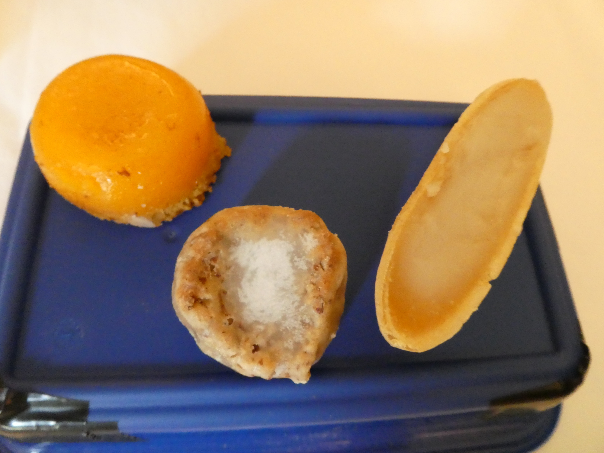
We stopped quickly by the church, predicting that we would be too tired to come out again later. Another local story that we have only faintly grasped is the development of special pastries at the monastry. These turned out to be on sale at our hotel, and we tried several of them - excellent!
CaptionCutAdd line aboveAdd line belowDelete
Heart 0 Comment 0
Inside the church there is the traditional heavy gold appearance. Only the columns give a lighter touch.
CaptionCutAdd line aboveAdd line belowDelete
Heart 0 Comment 0
The cloister is of standard design, but we like cloisters!
CaptionCutAdd line aboveAdd line belowDelete
Heart 0 Comment 0
This dead lady occupied a special chamber.
CaptionCutAdd line aboveAdd line belowDelete
Heart 0 Comment 0
The gold may be heavy looking but it is undeniably well done.
CaptionCutAdd line aboveAdd line belowDelete
Heart 0 Comment 0
Back out in a walking street looking for our hotel.
CaptionCutAdd line aboveAdd line belowDelete
Heart 0 Comment 0

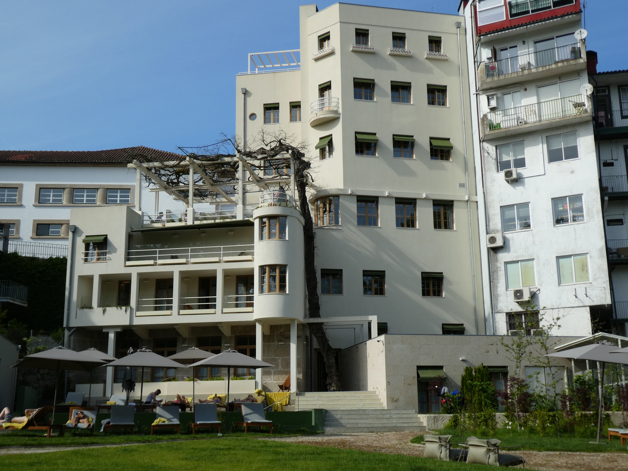
 We found the hotel, and with it a most confusing situation. Our room is on floor -2, which is ground level at the back of the hotel, where the pool and the river are, while level 0 is ground level at the front. With our bikes at the front we had a staffer trying to lead us (and them) to the back. This involved going about a half block down the street, having us reject the use of a long and narrow staircase, and then proceeding into a narrow lane and ... somehow we appeared behind the hotel. The hotel had some other quirks, like no chair in the room, making it hard to do this blog, and a coffee machine in the room but no coffee - you have to buy that - even your first pod. However, it did have that pool, and we quickly jumped in.

The back of the hotel. There is almost no way to get to it from the street in front.
Heart 1 Comment 0
Behind the hotel there is a river walk, and you can also see someone doing some idyllic river rowing.
Heart 1 Comment 0
Here are three of those unique pastries.
Heart 0 Comment 0

The Hotel had a few other quirks as well. The staff handles reception as well as the cafe that is selling coffee and those pastries.  When we tried to pay for the room they told us to come back much later, because they were overloaded by the cafe. Much later I came back, and they agreed to take my money. When I casually mentioned that I thought providing a coffee machine but no coffee was "stupid" they replied "If you want to talk about stupid, how about having us doing both reception and the cafe!"

I think the cafe is important here because the hotel is on the site of a confectionery that dates to the early 20th century. In its name  "Casa das Lerias", lerias refers to the pastries.

Today's ride: 50 km (31 miles)
Total: 2,569 km (1,595 miles)

Rate this entry's writing Heart 6
Comment on this entry Comment 1
Scott AndersonEpic accomplishment. Congratulations!
Reply to this comment
11 months ago