I sketched out my first itinerary of Puglia about six weeks ago, while I was still in denial about how soon my ankle would bounce back. At the time, the route took me up and around the Gargano Promontory, a ride that Scott Anderson made so tantalizing in his 2019 journal. What with taking it slow and delays with wind/rain, I was forced to scratch the Gargano National Park and decided to spend more time in Alta Murgia National Park. I had so much fun riding in the park yesterday that I wanted more of it today.
My destination was Trani, located on the Adriatic. It was not far on a direct line through Andria, or even heading east to Bisceglie and up the coast. But I decided on a more circuitous route, through the northwest section of the lta Murgia National Park and then looping southeast down to Trani. Weather predictions were for sunshine, light winds, and temperatures reaching near 70°F – perfect conditions for a cycling stroll through the inlands of Puglia.
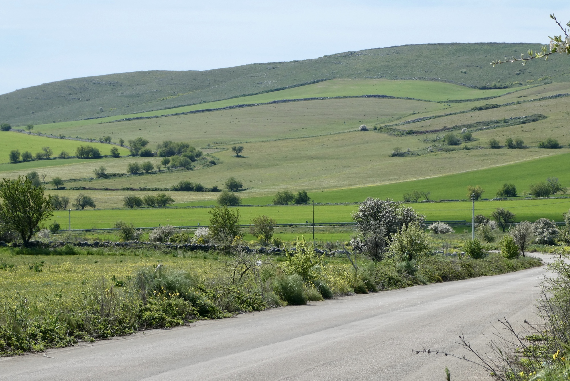
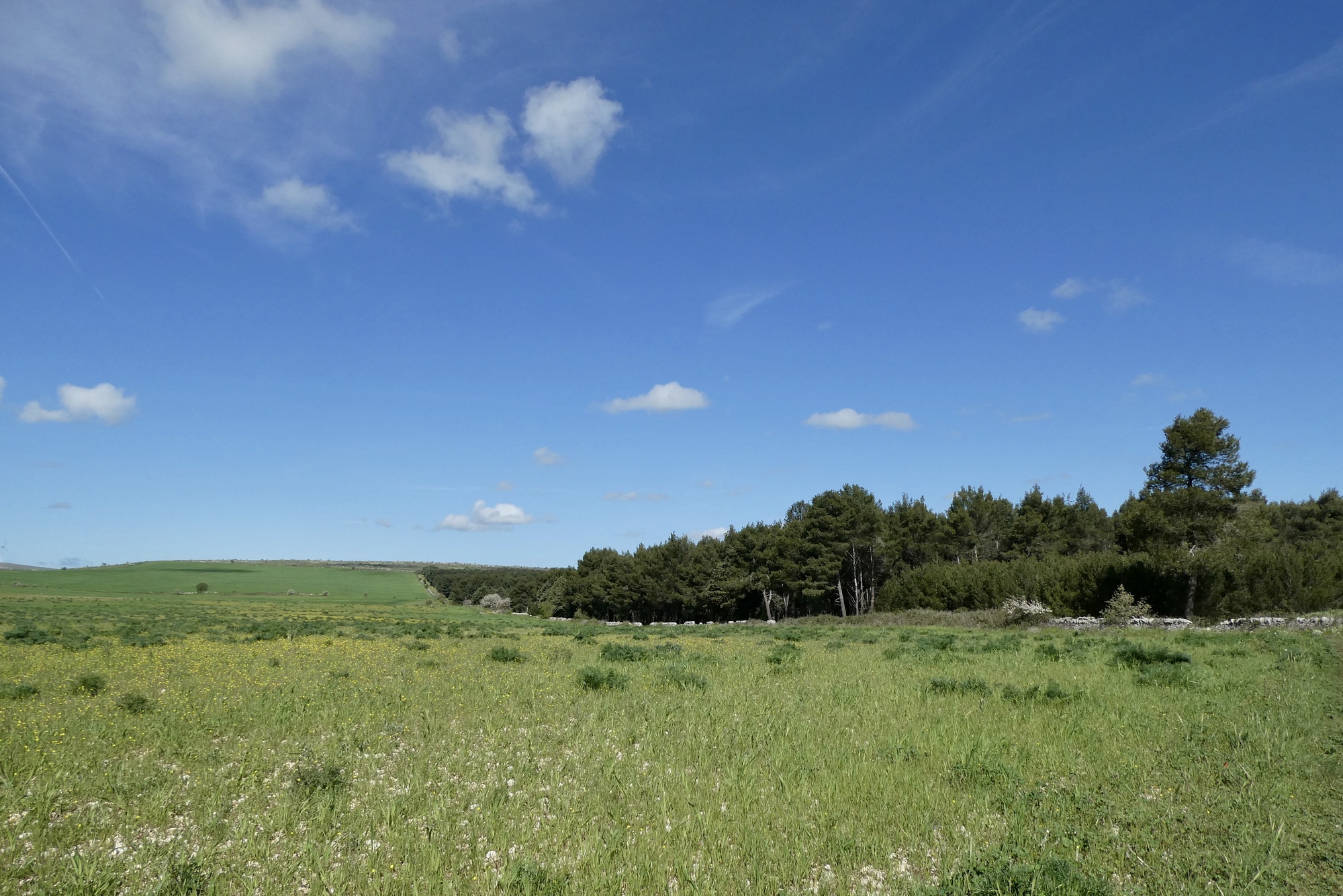
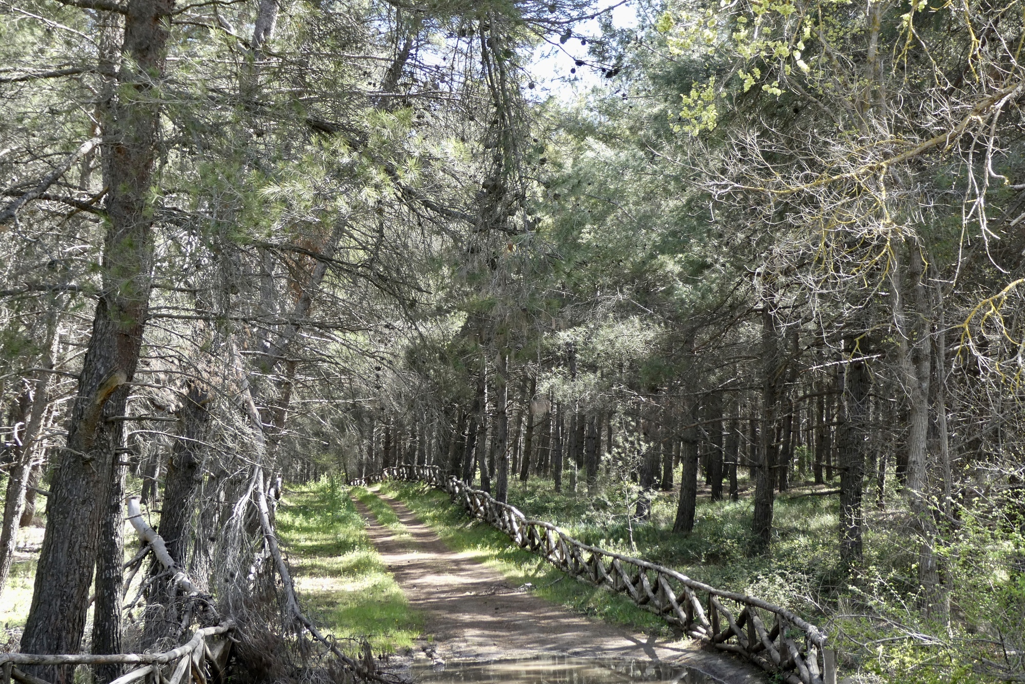
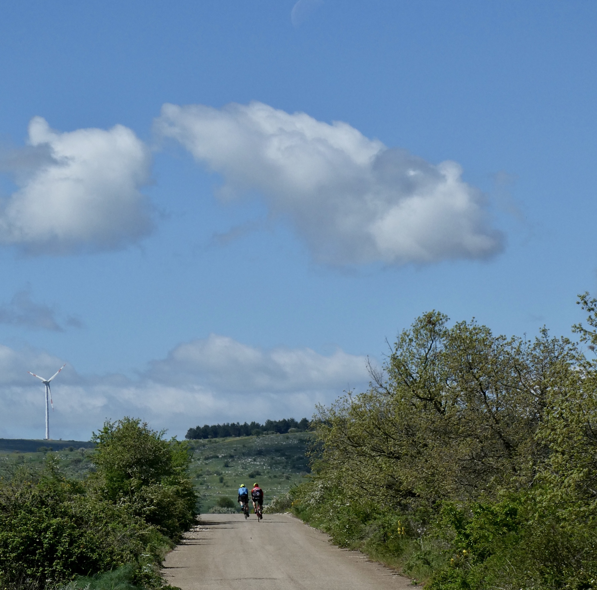
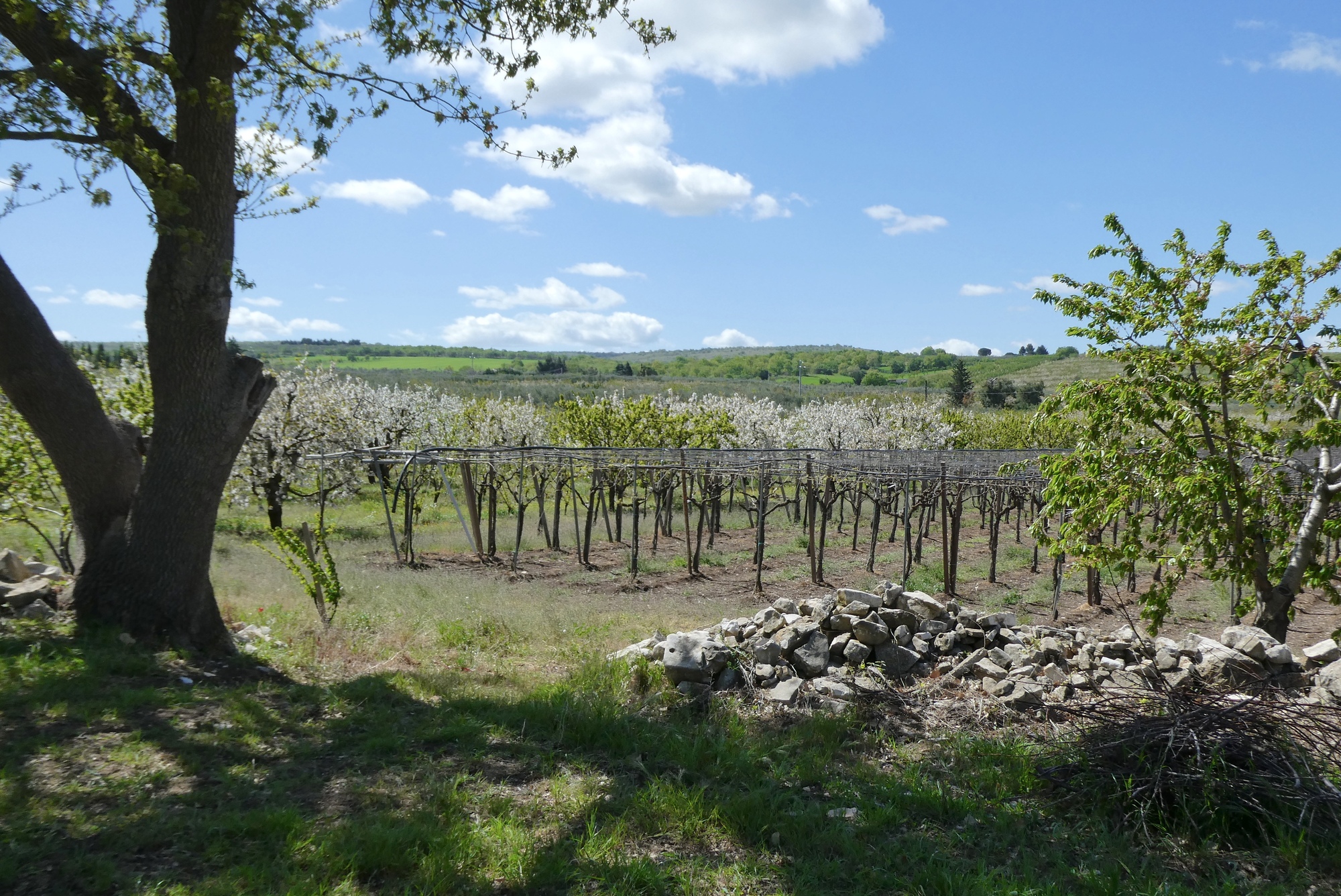
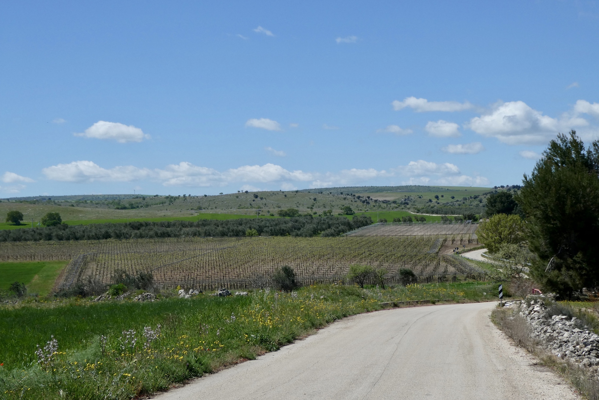
The first fifteen miles to Montegrosso was a dream. The landscape in the park was similar to yesterday, but there were more woodlands and fewer small farms. I encountered several groups of road cyclists, always a sign that you’re on a good cycling road. The route stayed fairly level for the first five miles, then left the park on a gradual and wonderful two mile descent. I continued on a downhill trend along small roads for another eight miles, soon finding myself in the very small town of Montegrosso.
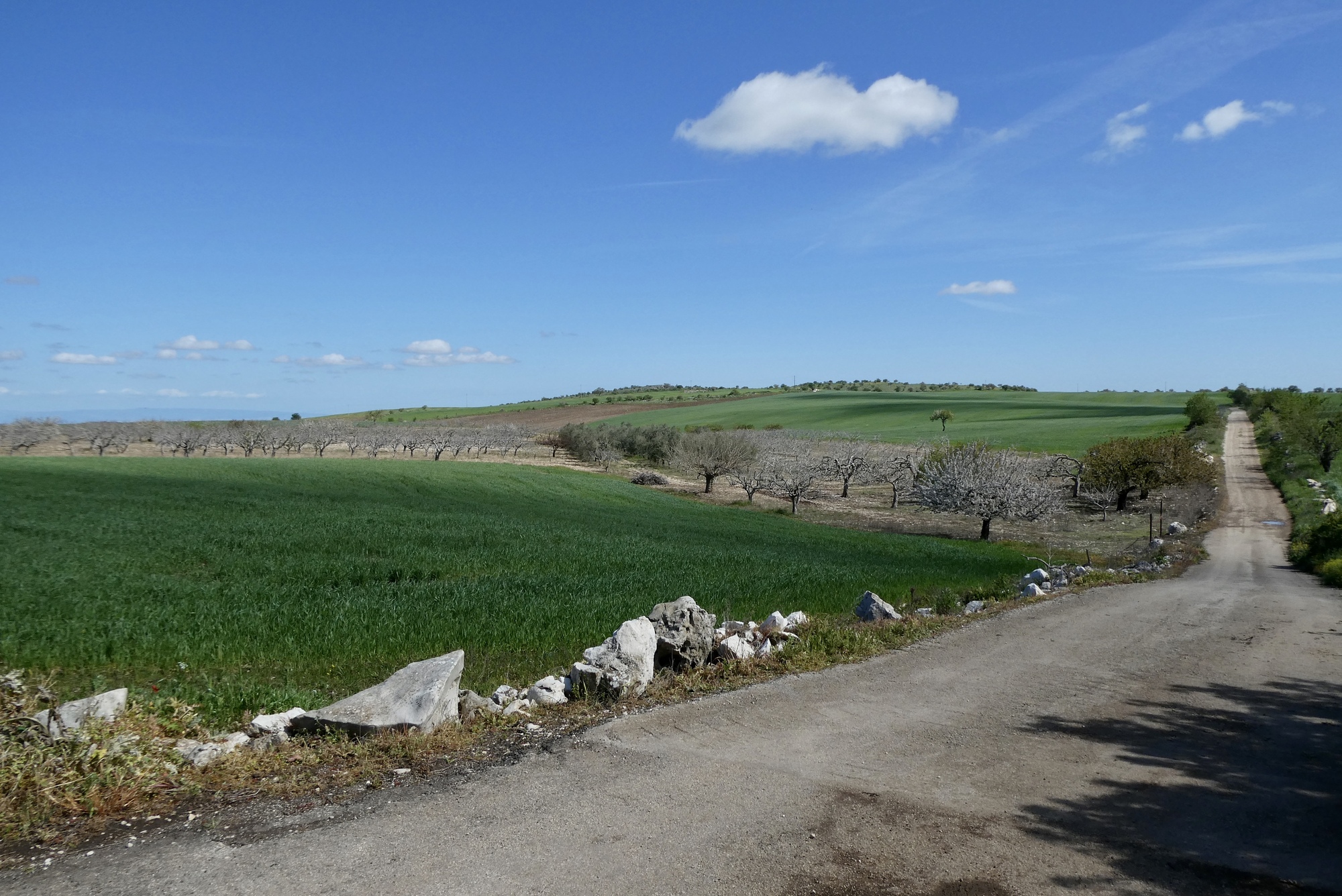
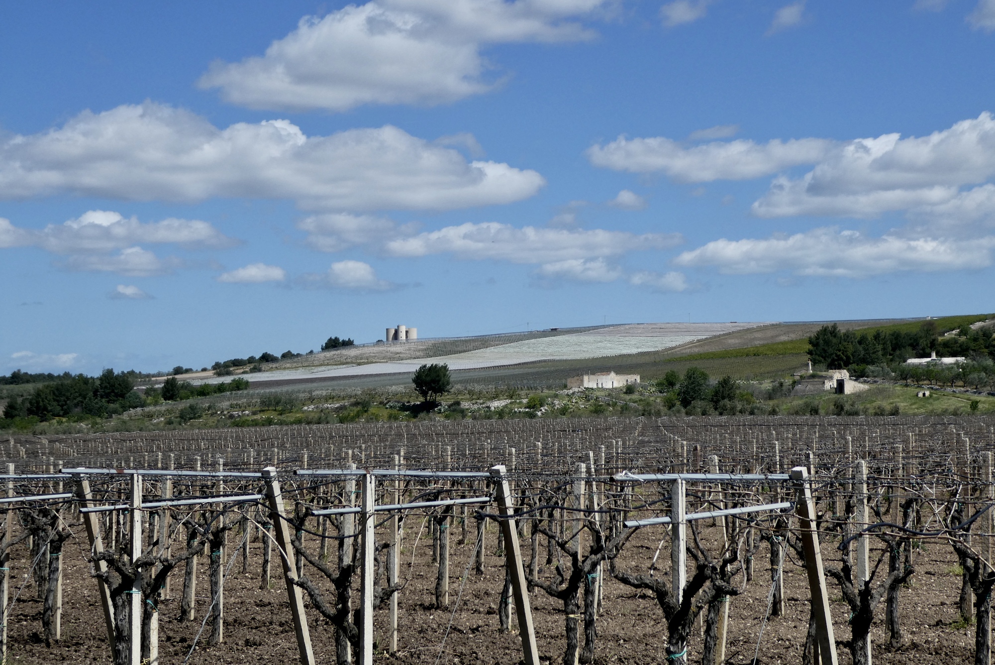
Looking back on one of my favorite sections of Alta Murgia National Park, one I explored yesterday
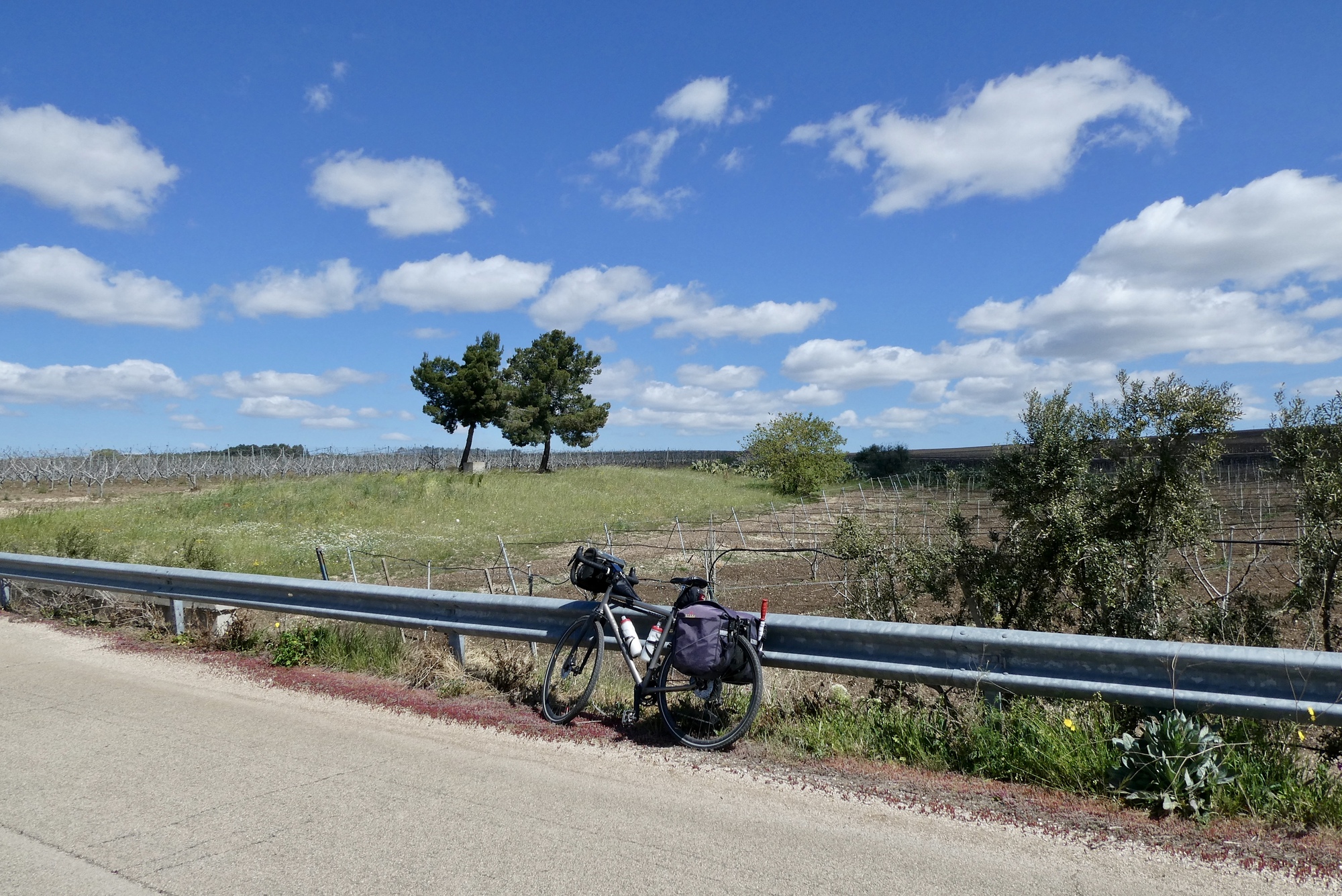
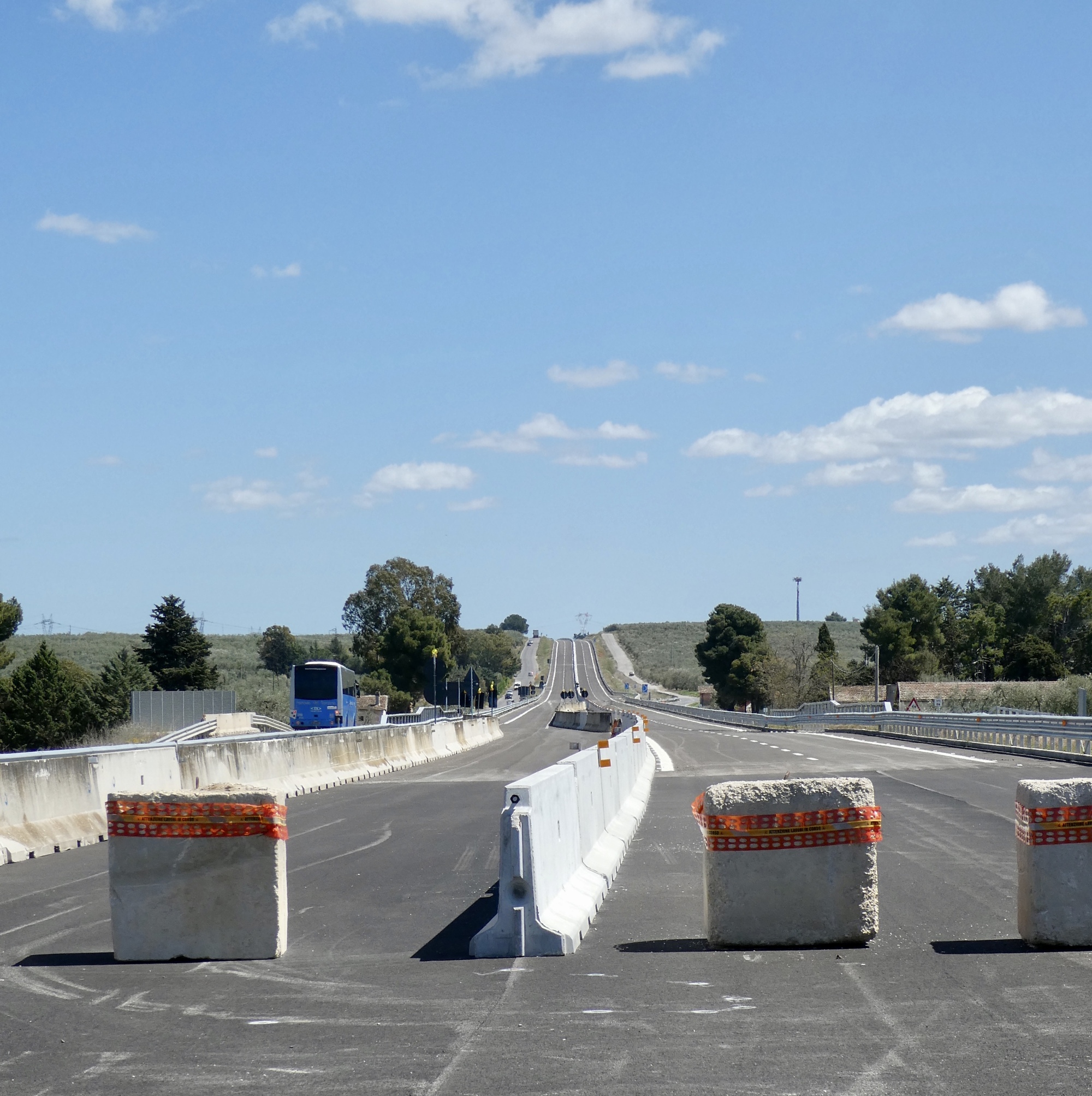
After Montegrosso, I turned north, planning to zig-zag over to SP12, which looked on GoogleMaps like a wonderful small road that would sweep me southeast to Trani. But I encountered a little problem with the zag. I won’t try to explain it all, but I was caught on the wrong side of a new, yet unopened highway. I could see the access to SP12 from a second small road that paralleled the new highway on the opposite side. But the only options to get across the highway were: 1) keep going for several miles to the outer reaches of Andria; or 2) backtrack and figure out how to cross the highway. I chose option 2, and after an approximate two mile detour found my way to SP29.
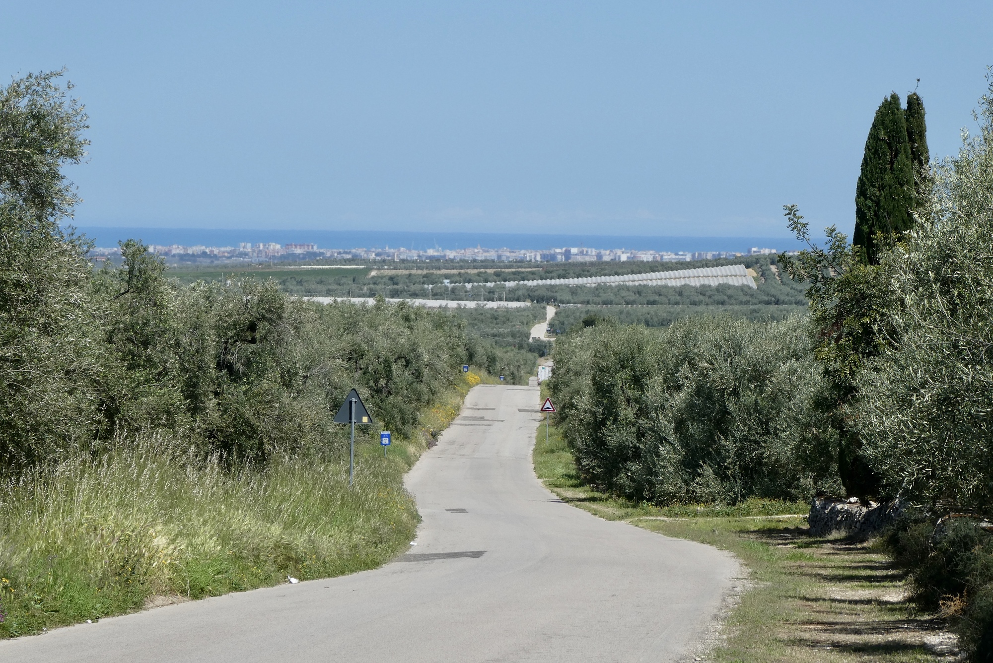
The ride toward the coast was pleasant – the scenery was enjoyable, if not remarkable, and the roads were low traffic and mostly downhill. However, the final four miles into Trani routed me through the industrial sector and was the least enjoyable part of the day – dusty, pot-holed, and ugly. On arriving in the old town portion of Trani I had difficulty finding my B&B among the maze of small streets and pedestrian walkways. I finally gave up, headed for the port, and enjoyed a gelato on water’s edge.
The new highway, blocked for traffic.The picture is a bit confusing, but I was originally on the small road on the right, making my way to the top of the hill before turning back and crossing to the more heavily trafficked small road to the left of the new highway. GoogleMaps and RWGPS need updating!
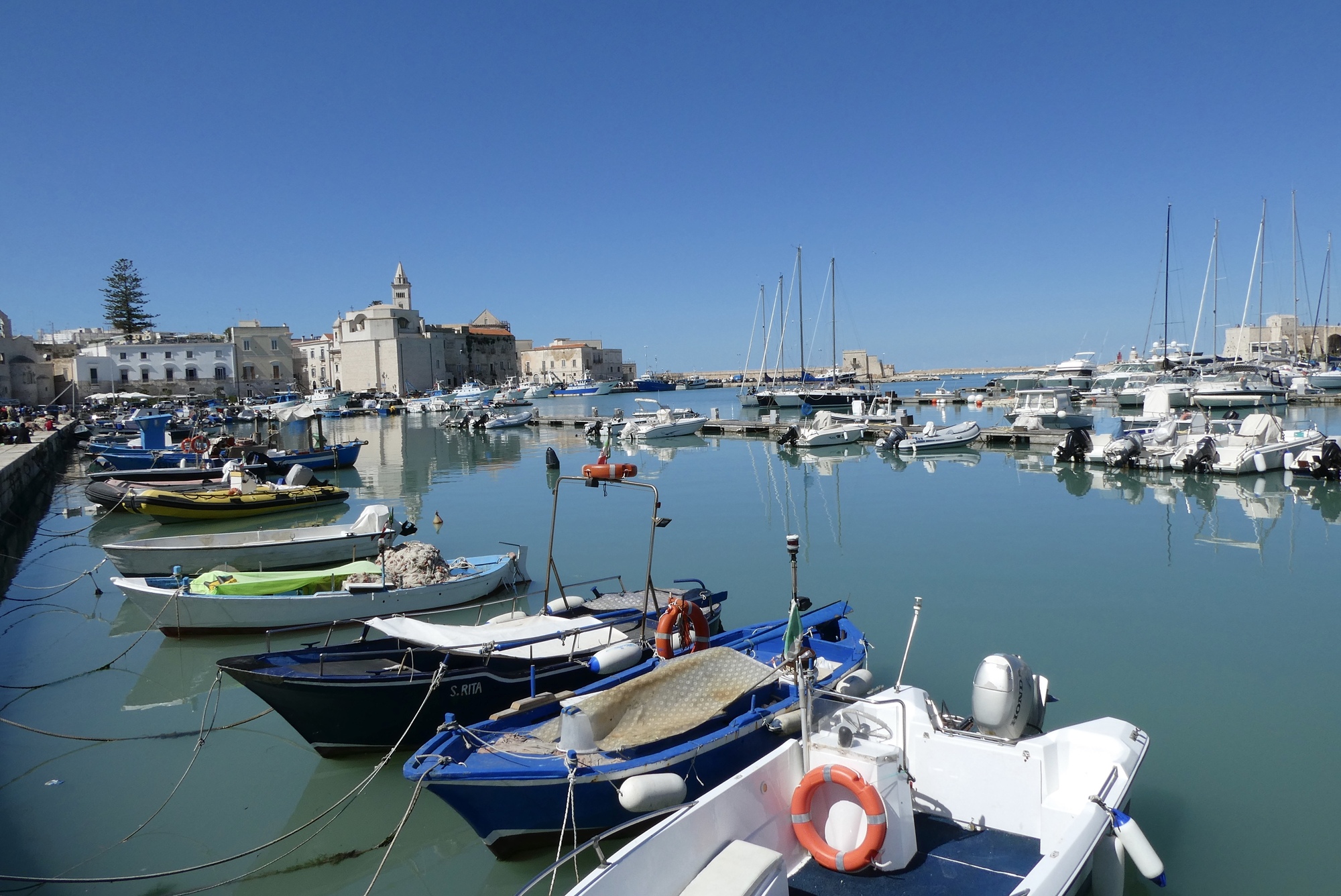
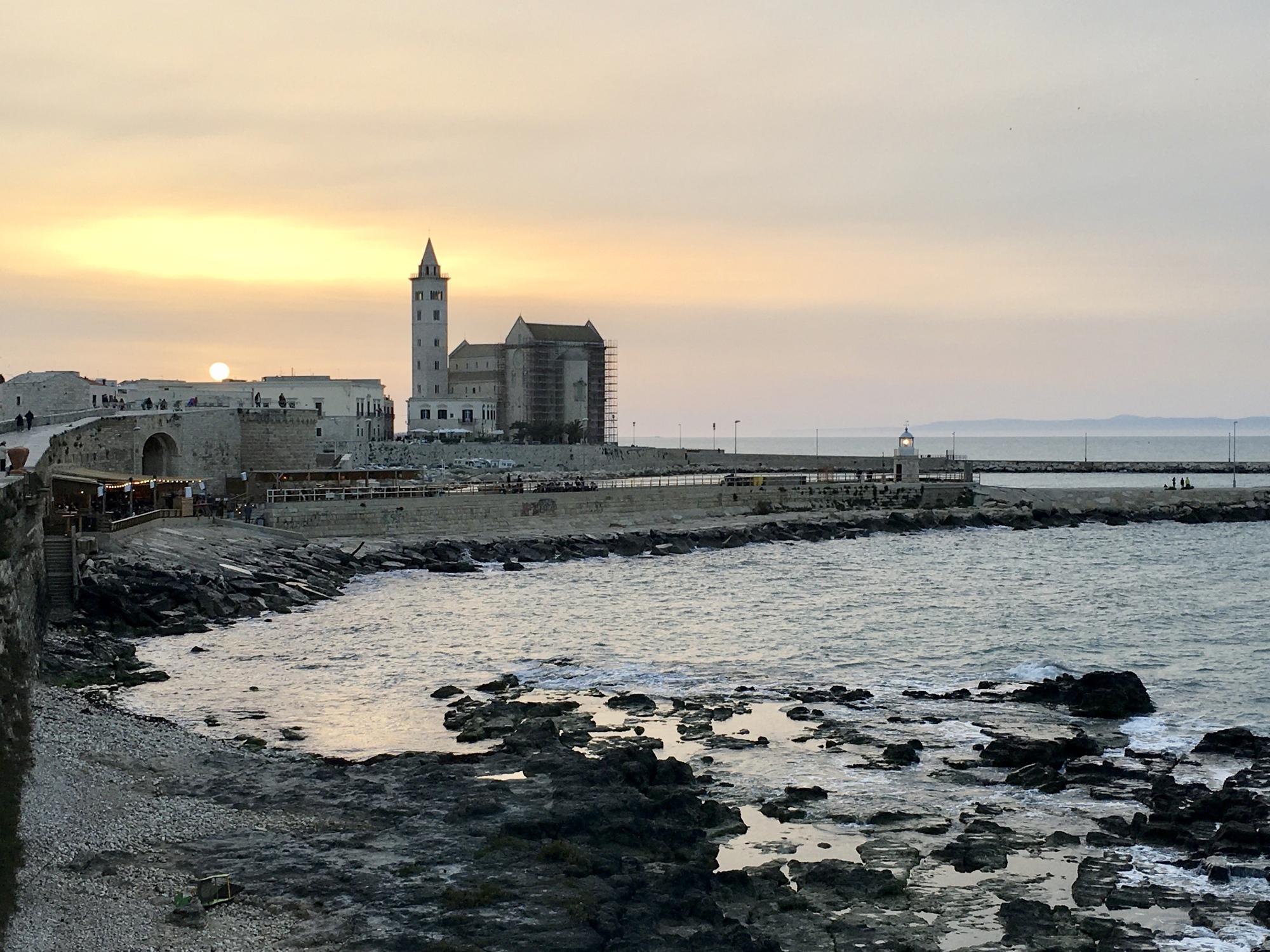
Enjoying my gelato port-side, with the bell tower of the Cattedrale di San Nicola Pellegrino visible in the distance. Oops - I ate the gelato before thinking of taking a picture
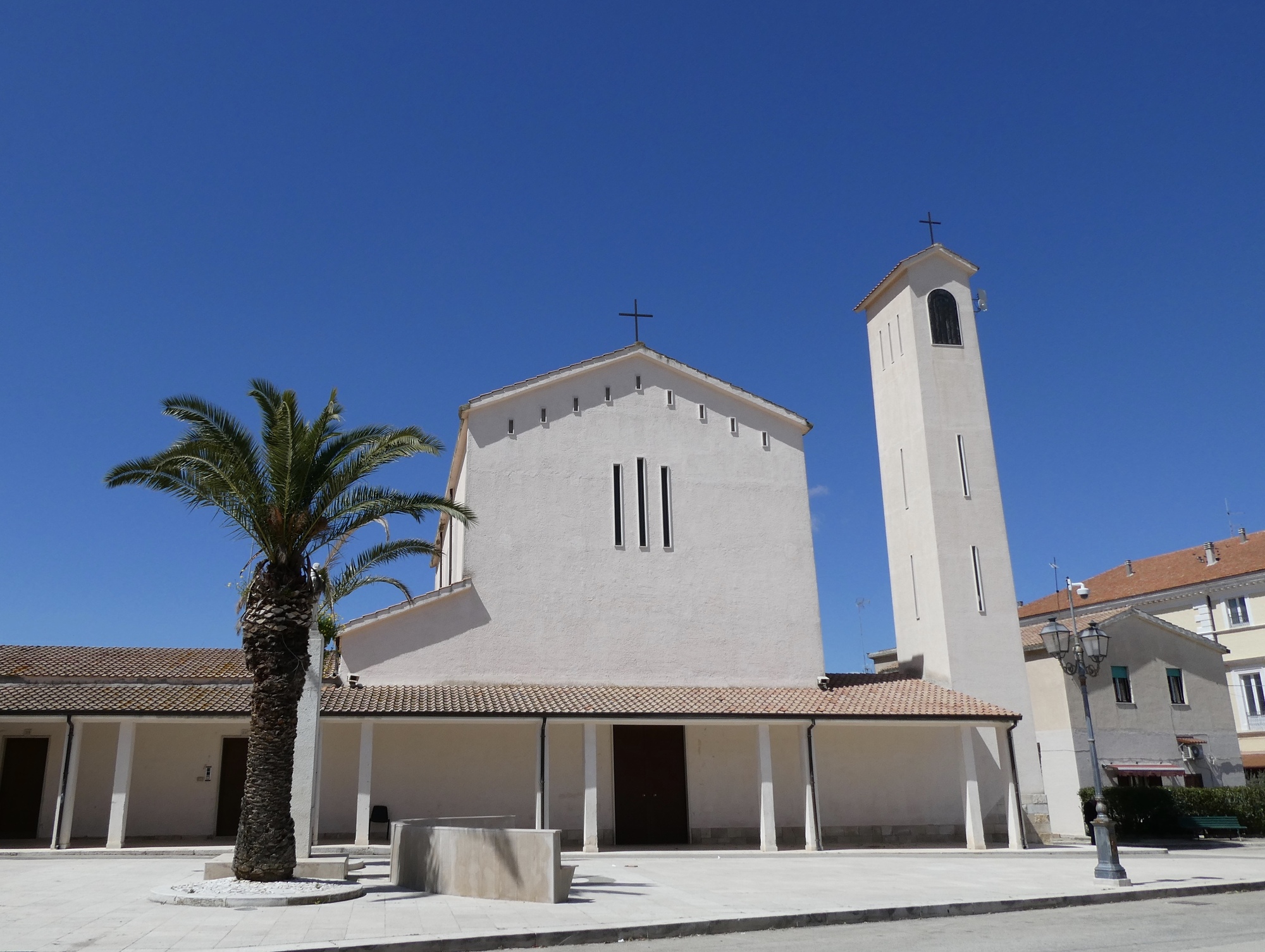
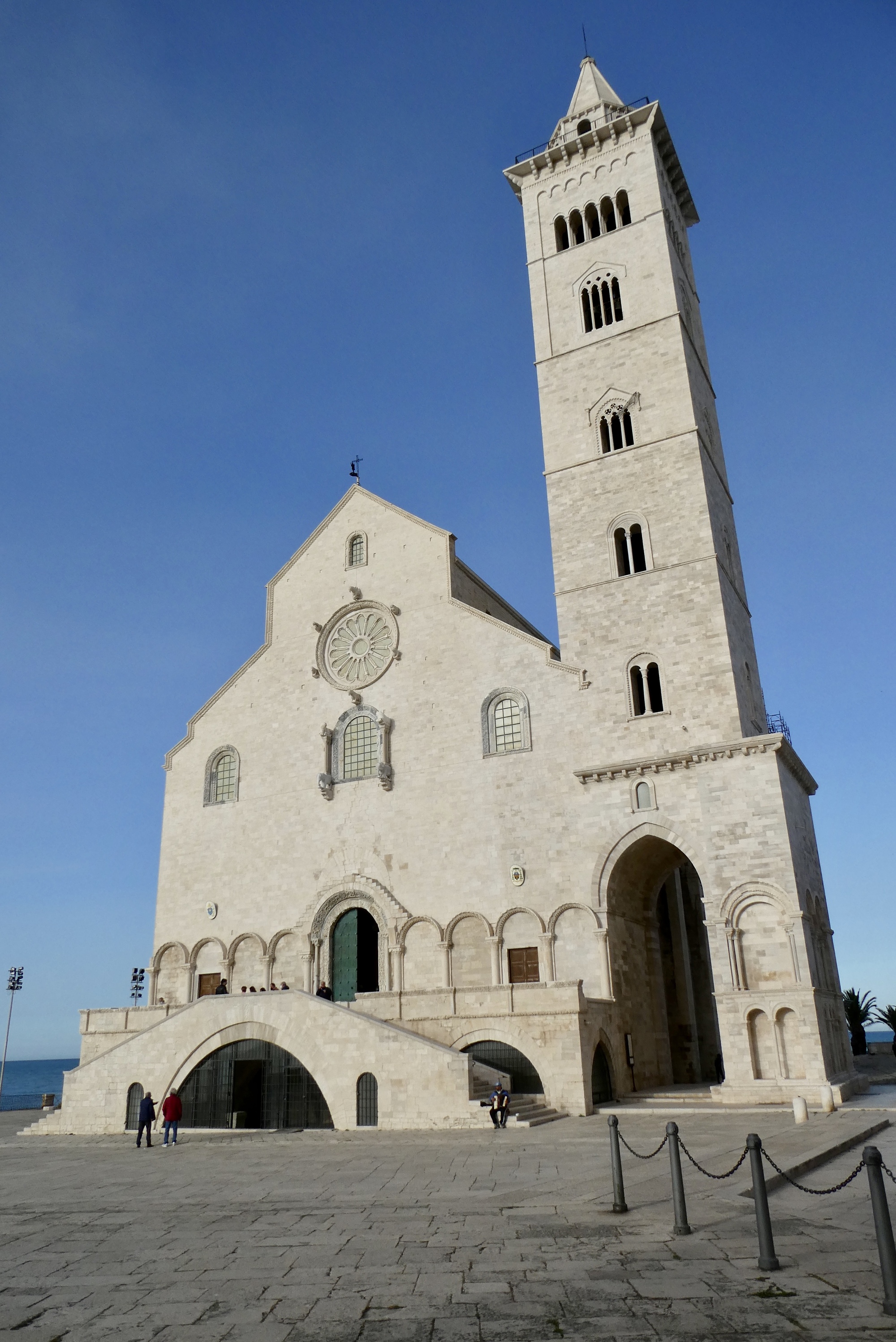
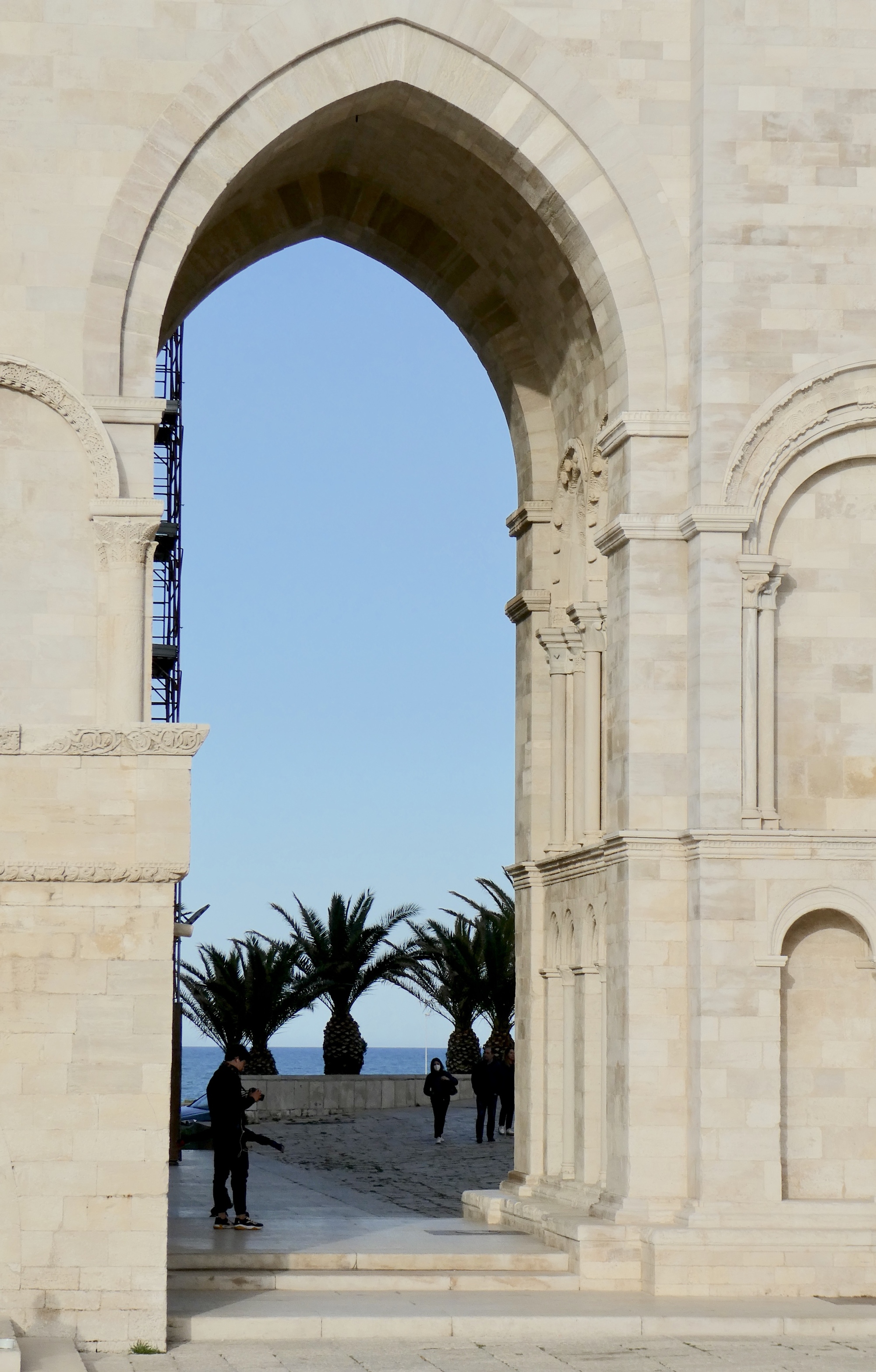
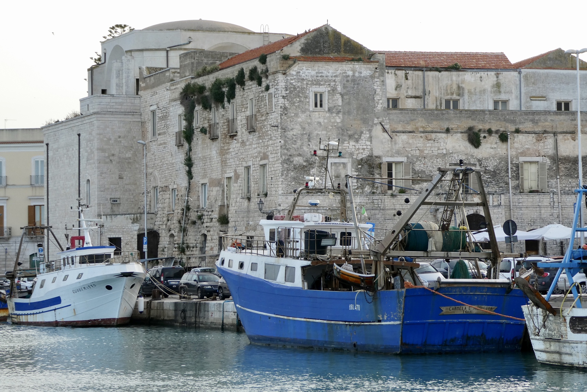
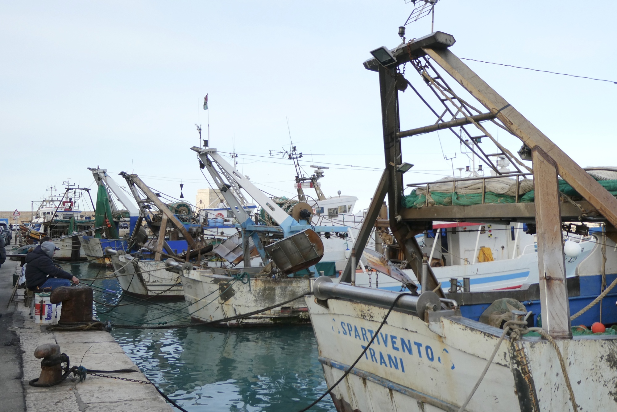
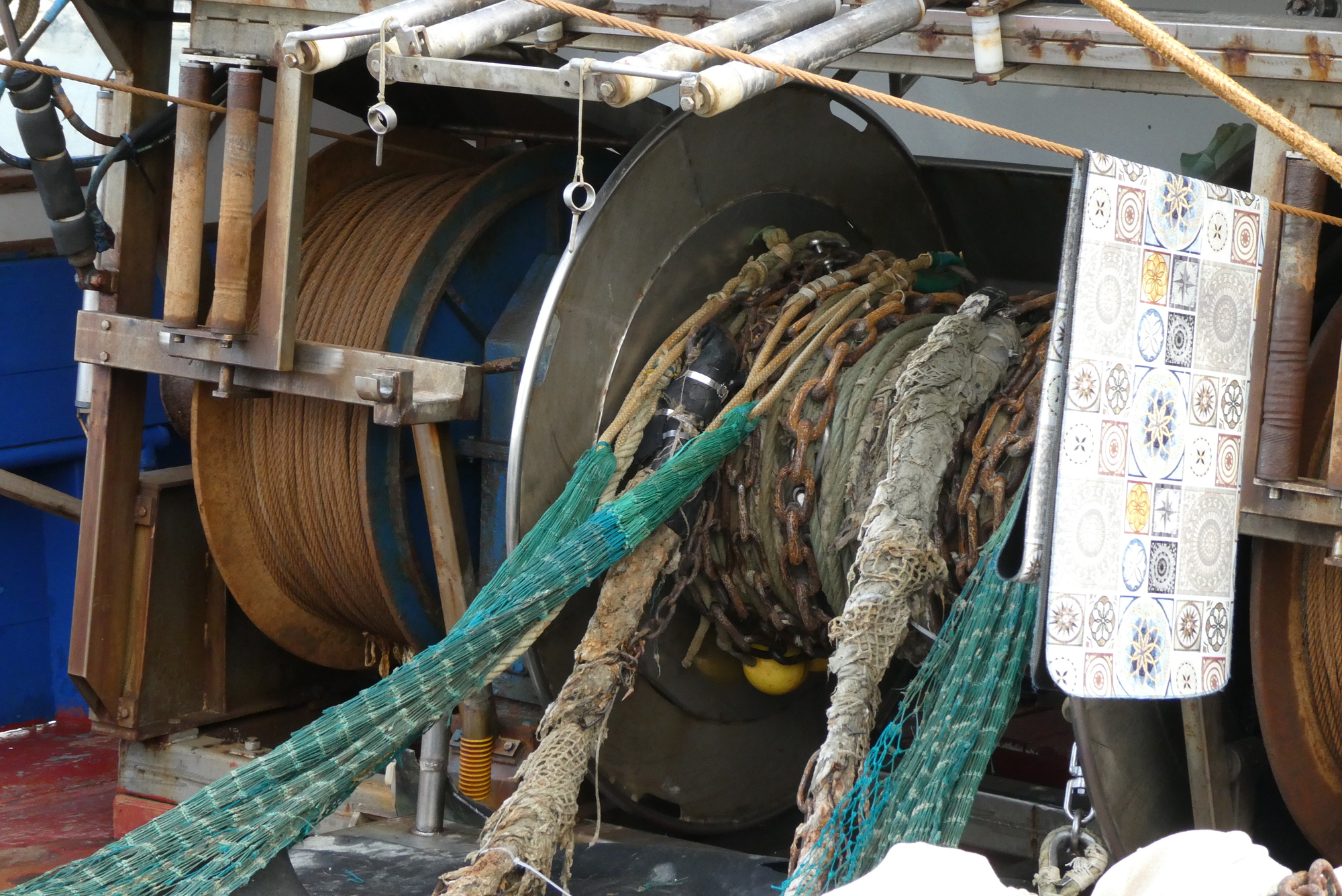
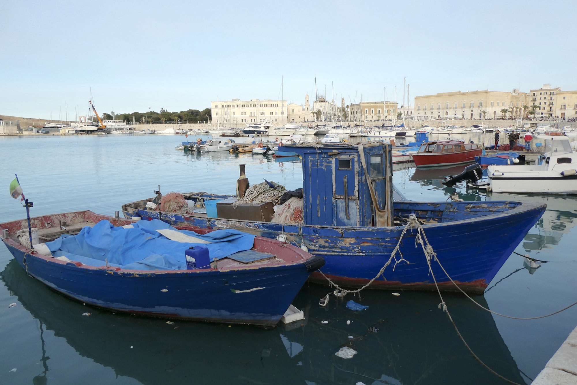
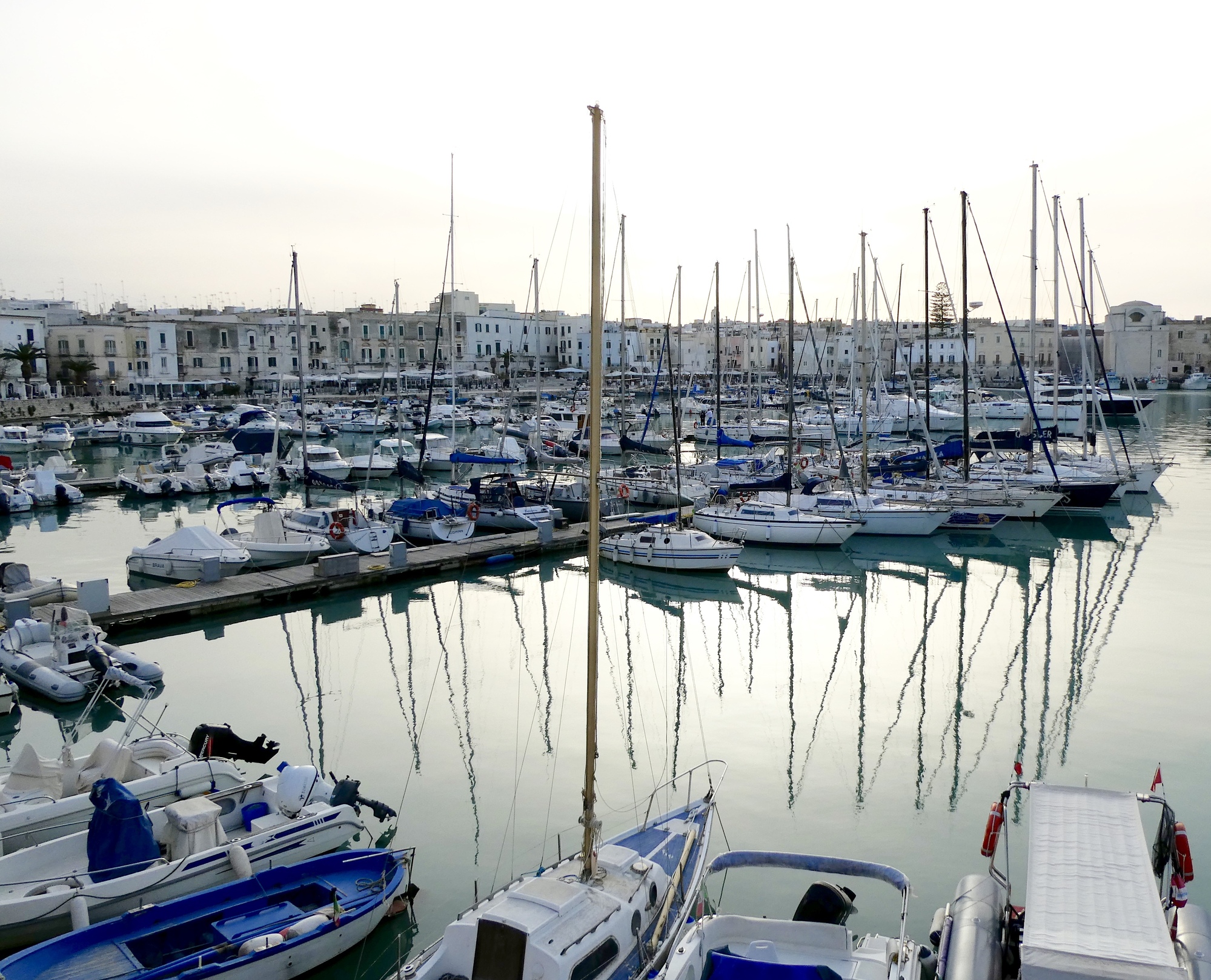
All it took was a bit of rest and some food and I easily located my B&B. After a nice, long conversation with my sister Ann, I cleaned up, caught up a bit on the news, and headed out to explore Trani. First stop was the very Romanesque Trani Cathedral, the Cattedrale di San Nicola Pellegrino, which was undergoing some restoration. Then it was the docks, something I am always drawn to. The Trani port is a large, almost circular area with a somewhat small opening to the sea. As you walk the circle, the vast array of watercraft give voice to the varied ways that humans have taken to the seas – for work, for food, for pleasure.
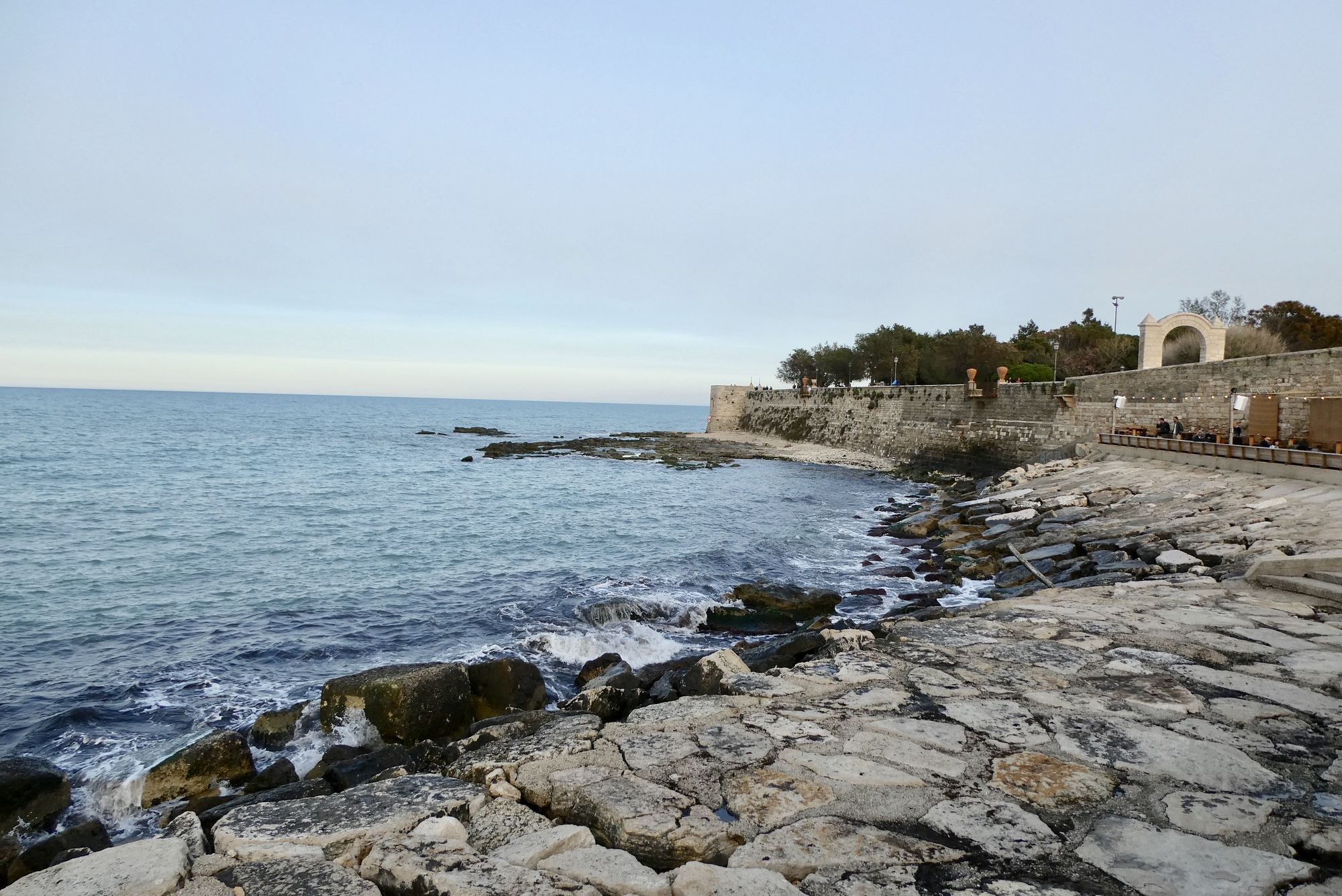
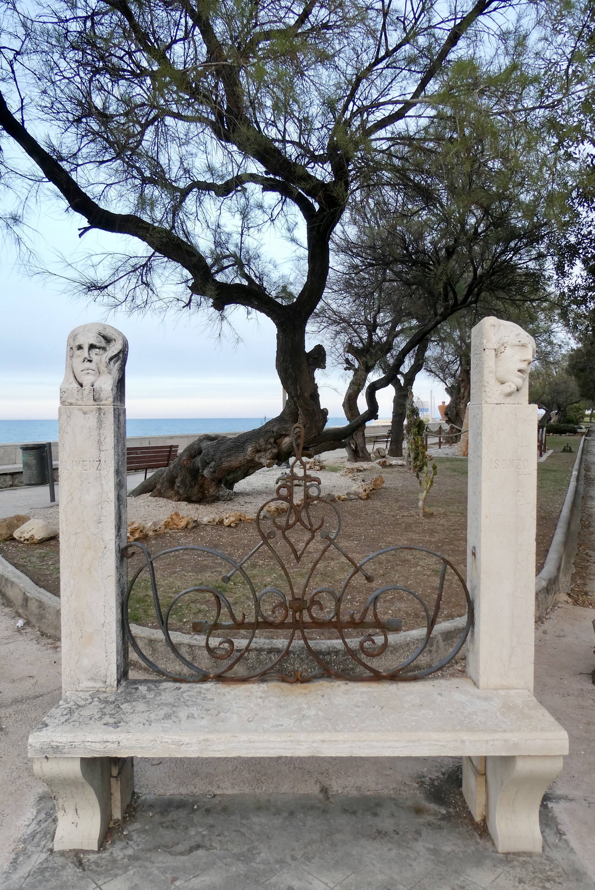
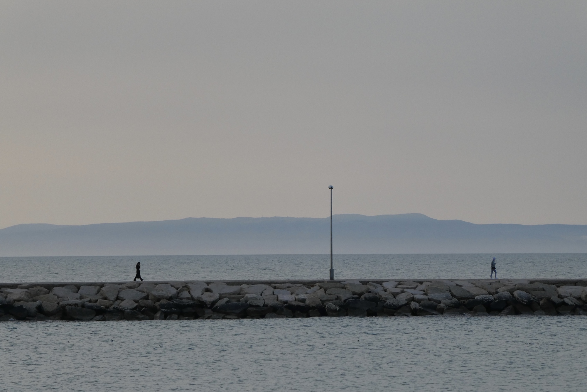
Visitors have amazing access to structures around the Trani port – I walked down one of the moles toward the red channel light that marks the harbor entrance. I climbed atop the walls of the Fort of San Antonio. I wandered through the Villa Comunale di Trani, a large city park overlooking the sea that houses art, gardens and a children’s playground. I watched the sun set over Trani Cathedral. And, finally, I found a restaurant that opened before 8 pm.
Cattedrale di San Nicola Pellegrino, the Trani Cathedral