September 26, 2016
to View Point Camp: stuggling in a sandbox
“You’re not going to like this” Rachel says, turning on the tablet to check GPS when we stopped for a food break. The battery is only a quarter full, must have been not completely turned off last night. This when we are most needing GPS! Except, knowing the direction you want to go and the vast distances you can see, just pick a track or make your own like the locals.
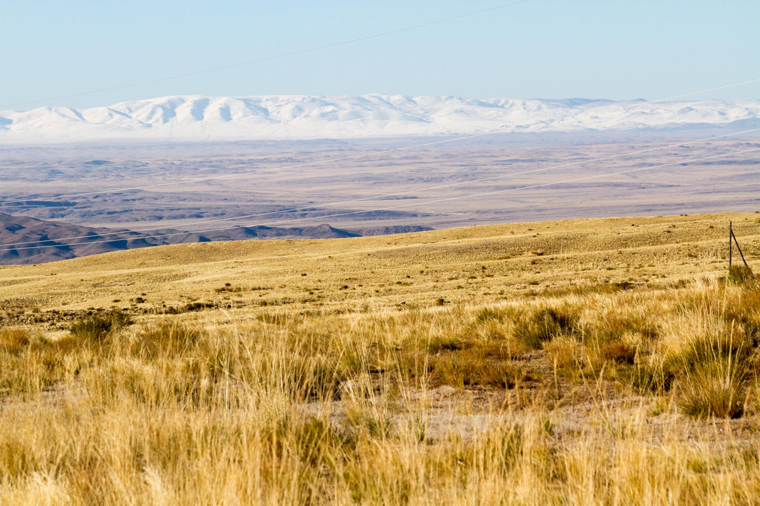
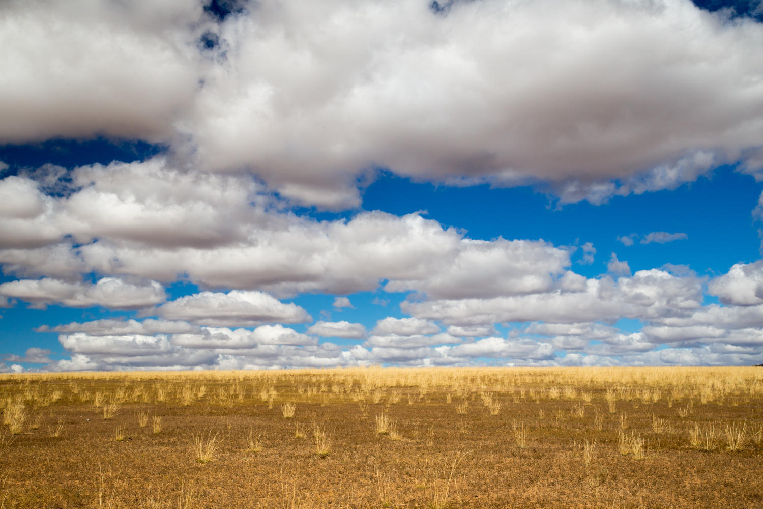
During the night the winds blows itself out and the storms have disappeared when we get out of our tent a bit later than usual for us. No flash flood has come down the canyon to wipe us away. Being in the canyon protected us from the wind, but it also keeps the sun from reaching us early this morning. It is cold! Ice on the water bottles.
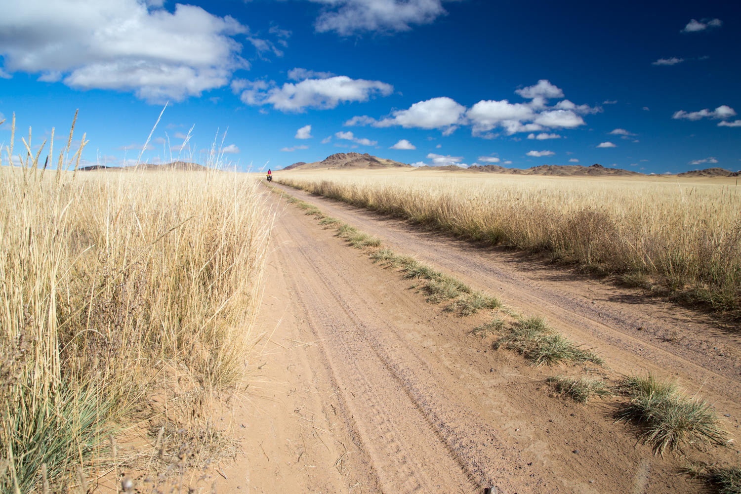
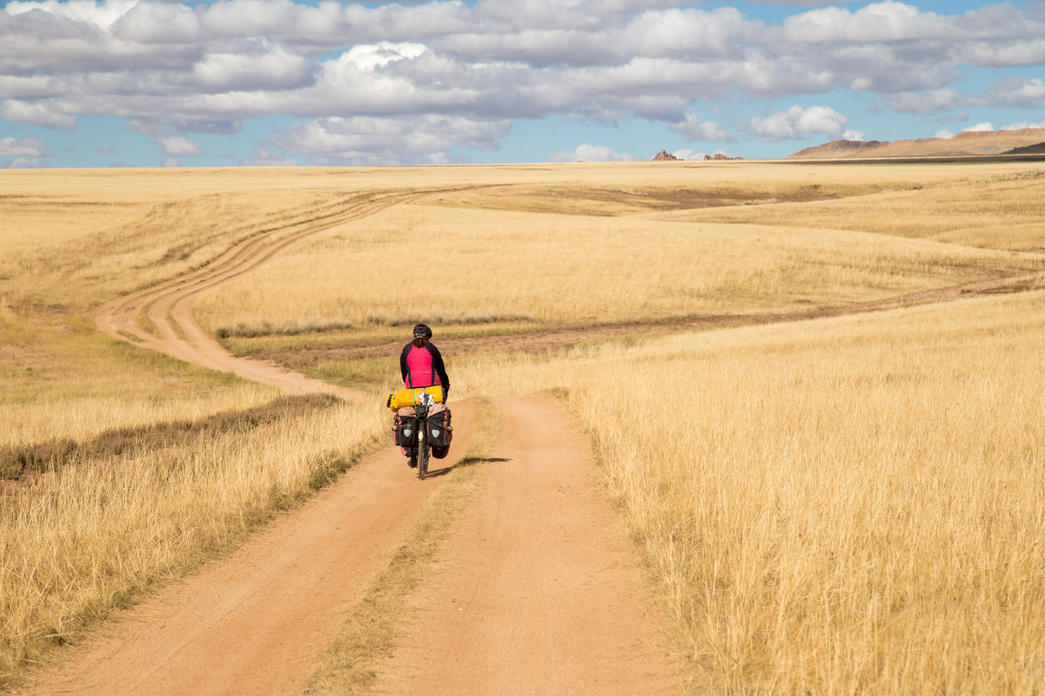
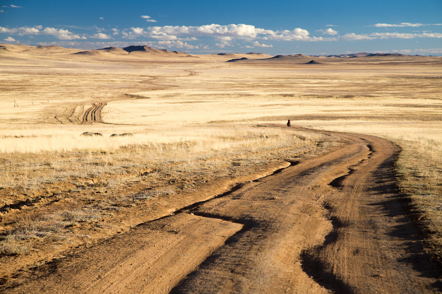
About 15 km from our camp we have to make a decision which road to follow. The track that google maps indicates as yellow makes a turn to the east only the rejoin the white track that goes straight in about 30 kilometers. You would think the yellow road is normally a larger road than the white one, but here they are both just tracks in the grass and we decide to take the white one since it is more direct.
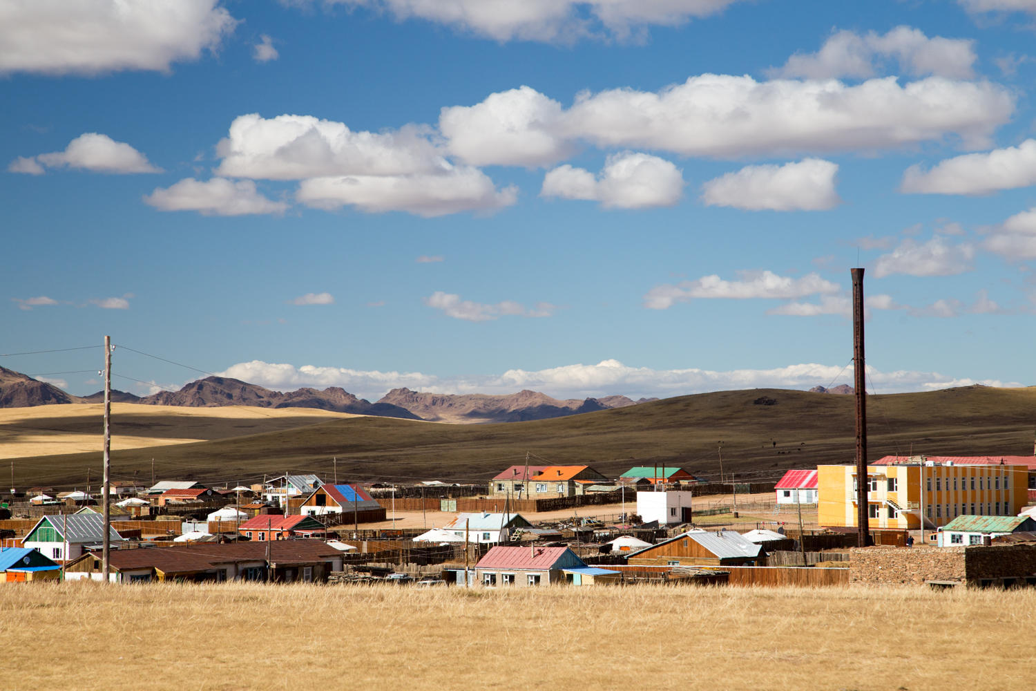
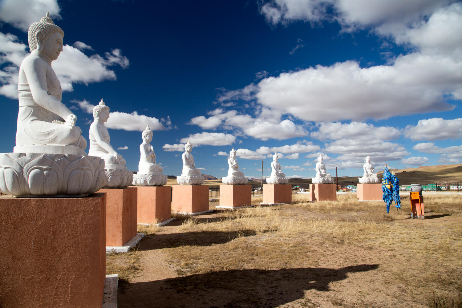
At some point though we make an error and veer more to the west than we want. We come over a rise and below us is a town. There was not supposed to be a town on our route today…..
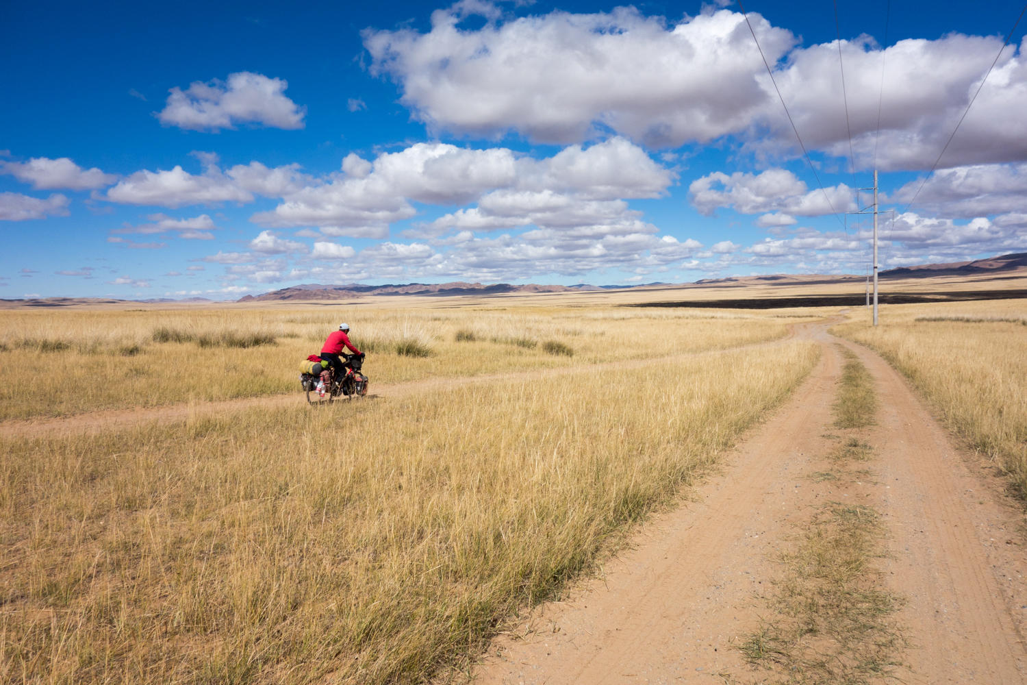
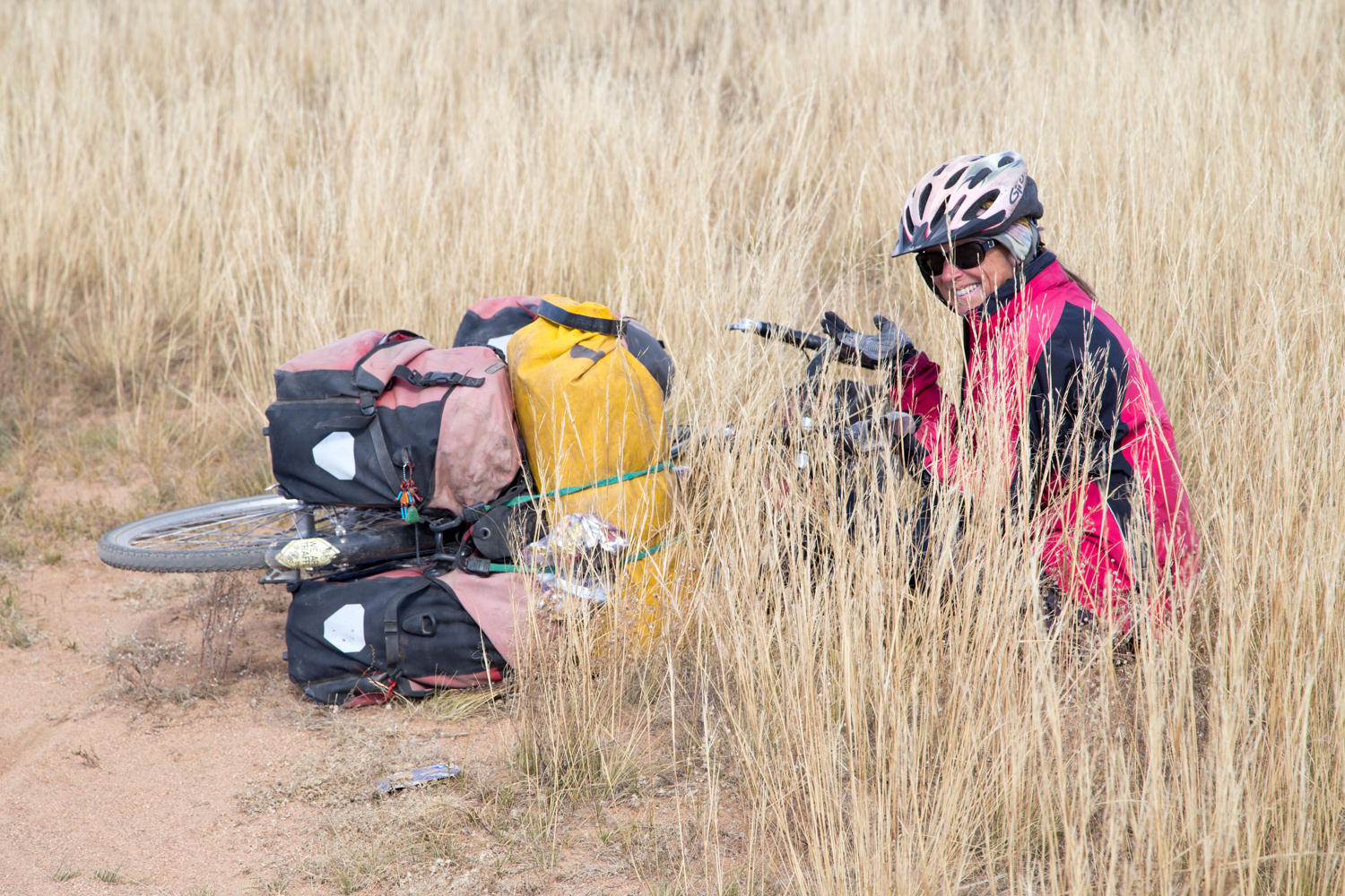
We turn the tablet on and once the GPS locates us we learn we are about 8 km west of where we should be. At least we got to see this town and its very nice Buddhist monument. That was the nice part, the not so nice part is pushing our bikes up a long sandy hill, and then take a road due east that reconnects us with the “main” track. All in all this added about 5 km to our route, not too bad except that a lot of those kilometers were hard won pushing in sand. Of course, we don’t know what the “main” road would have done.
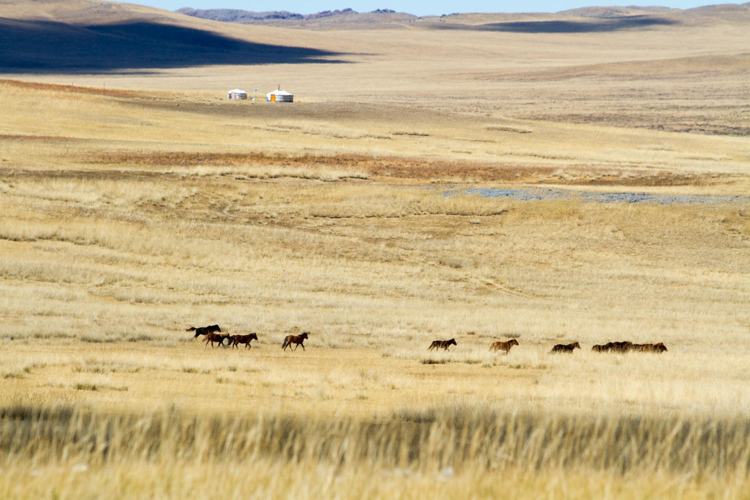
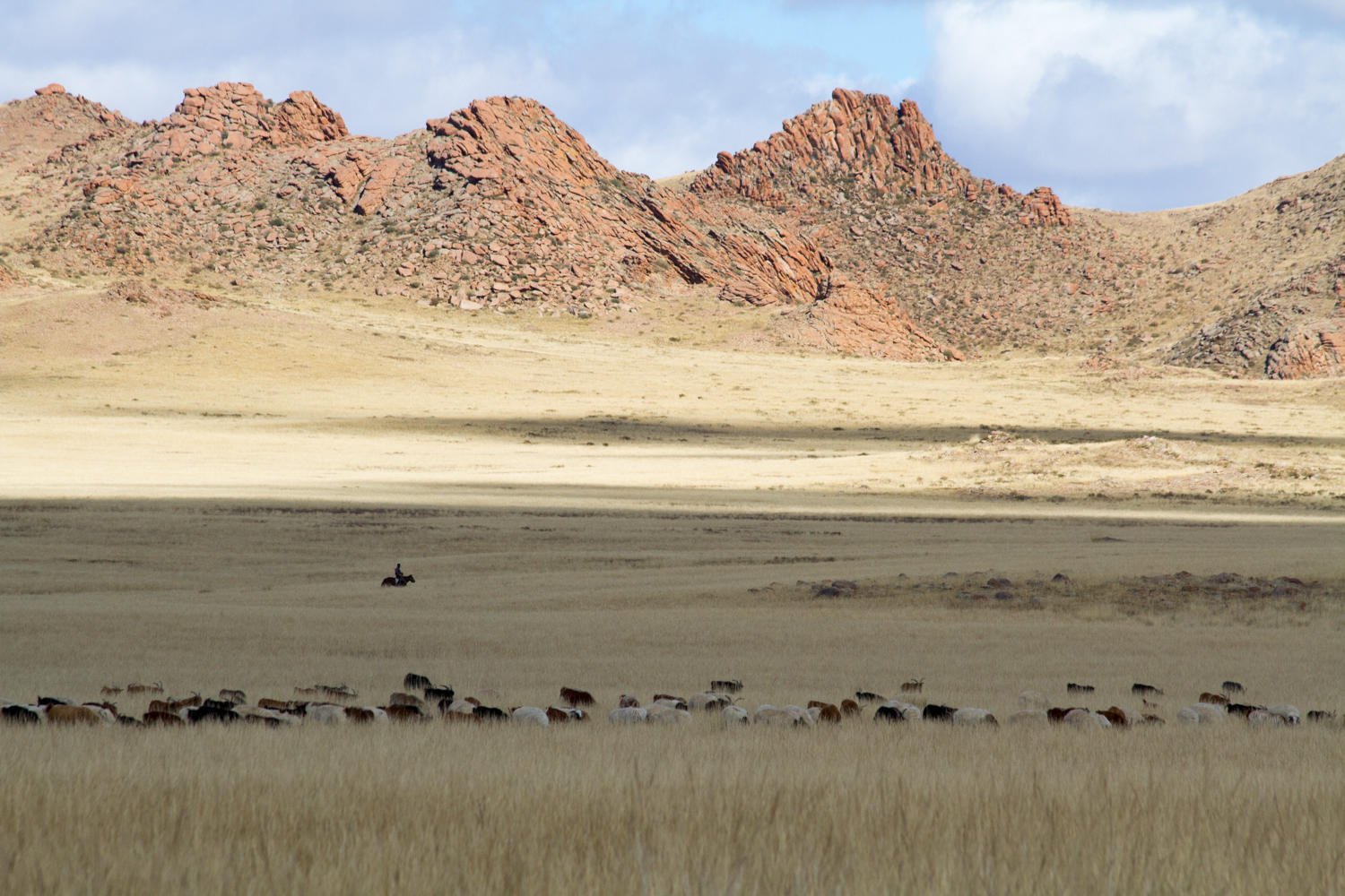
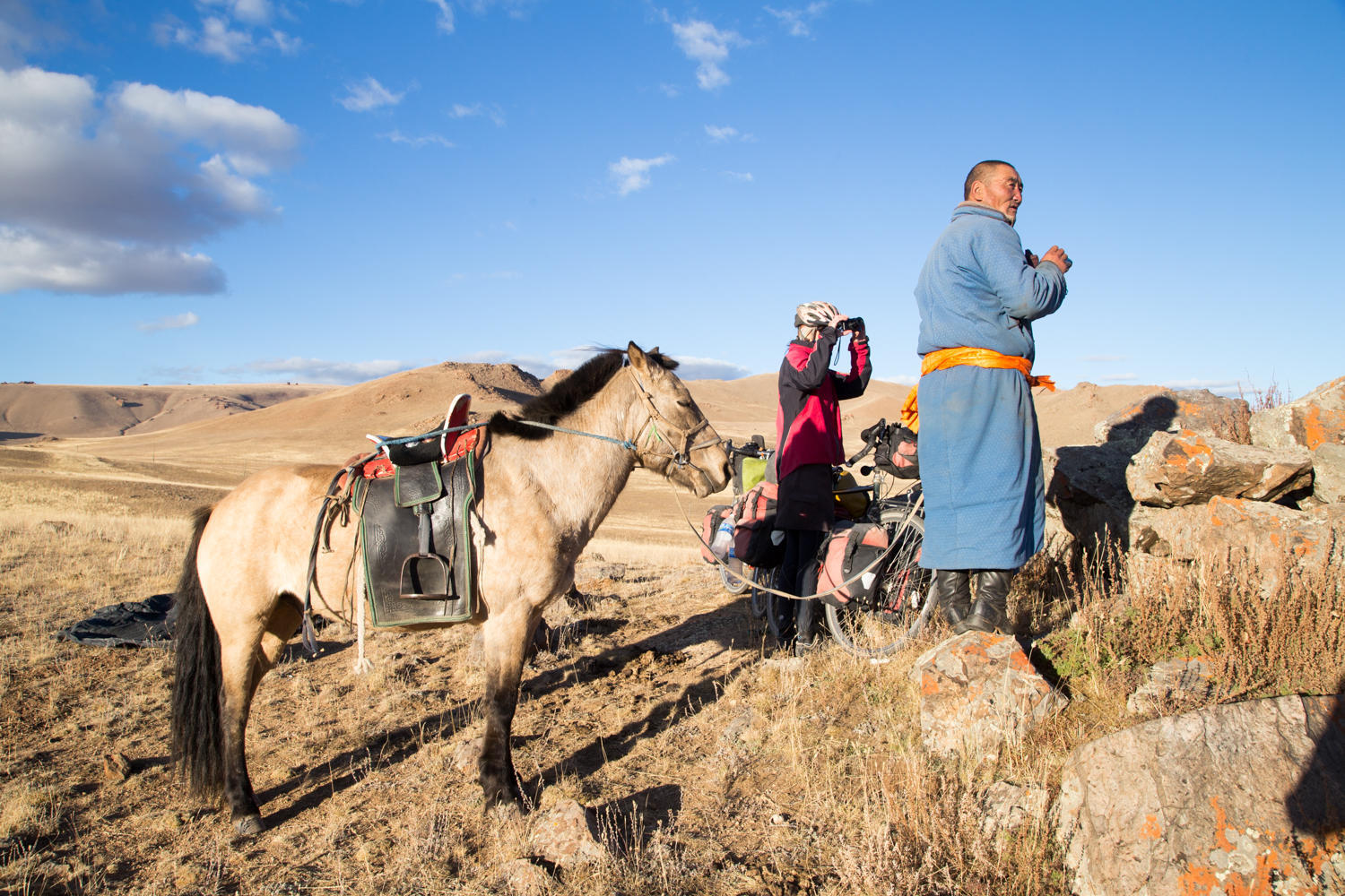
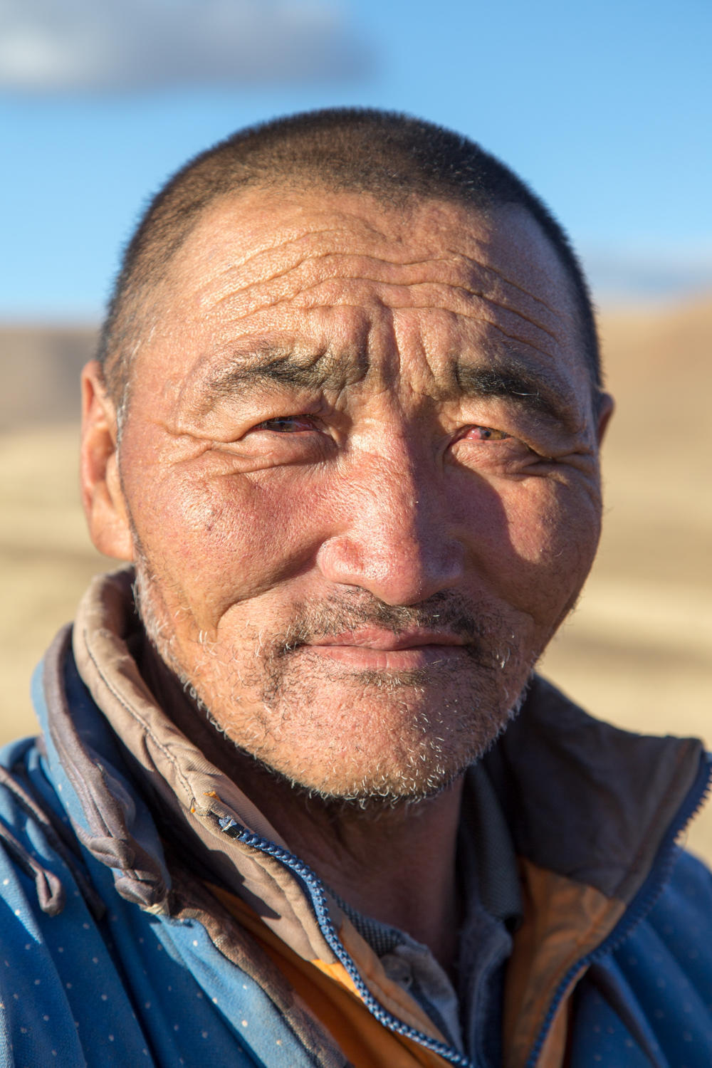
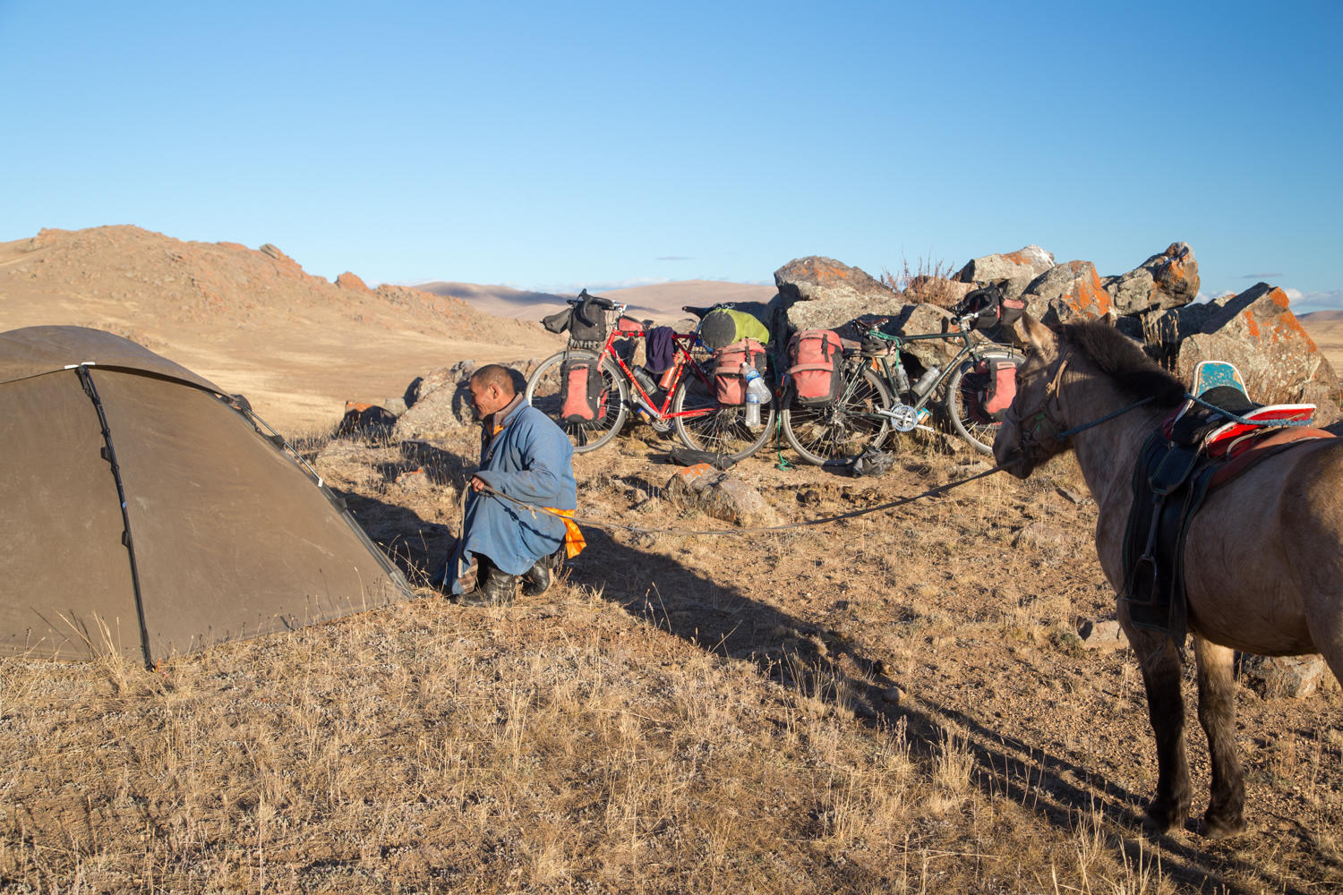
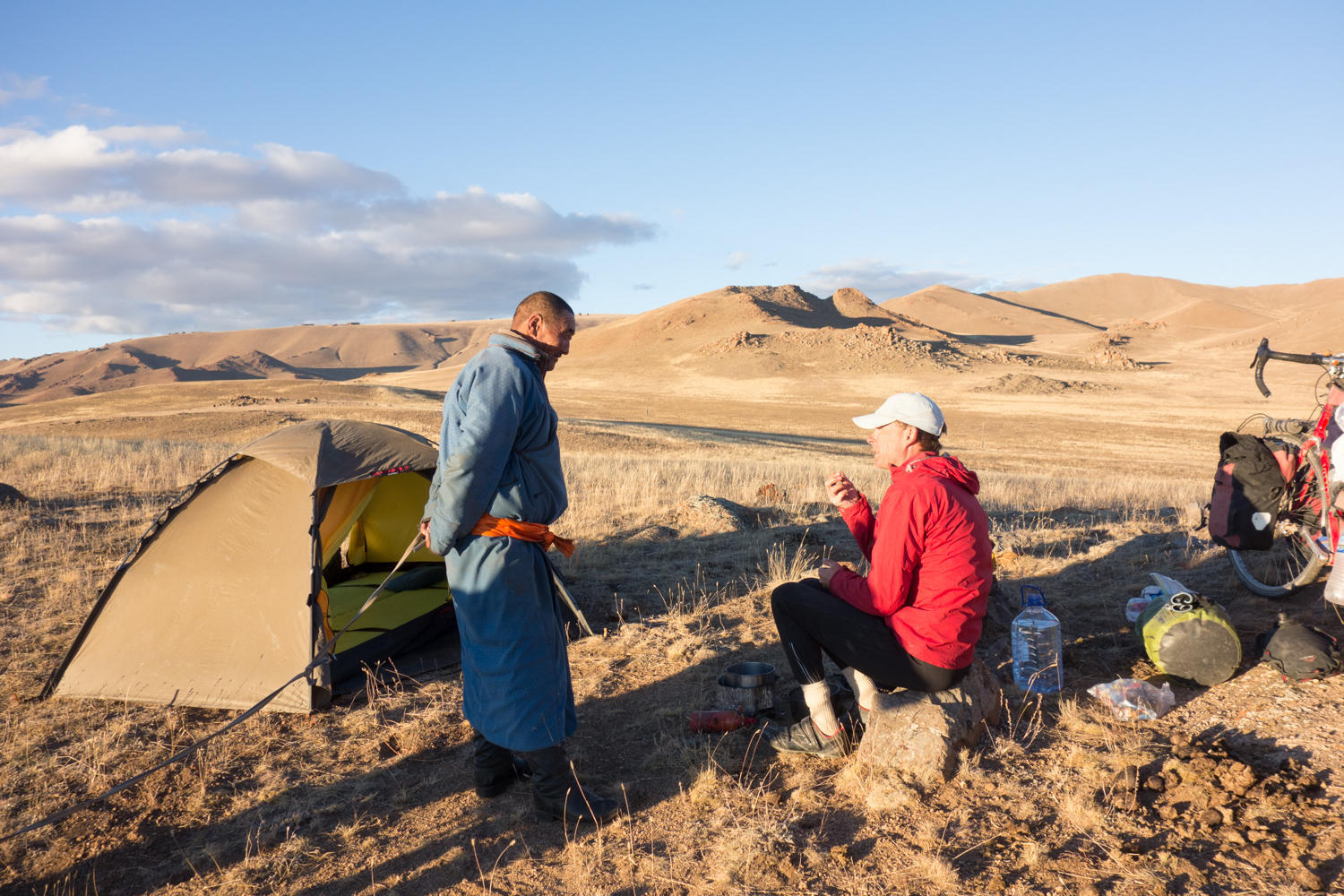
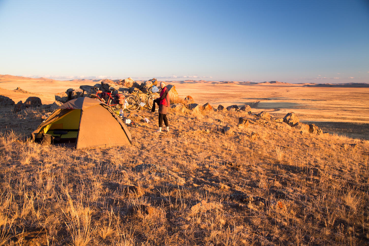
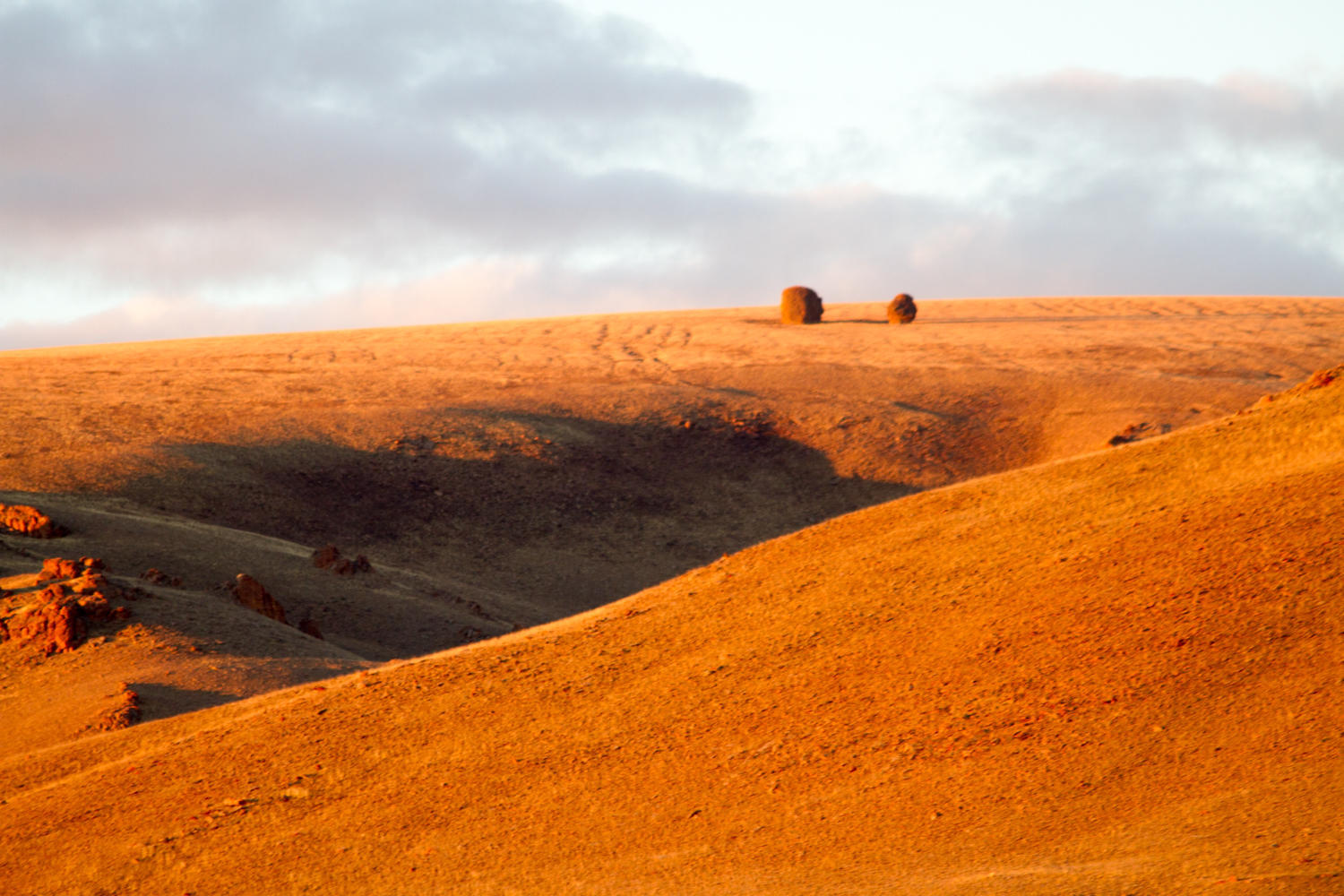
We go a couple more kilometers on the main road until we get to the top of a steep hill where there is a nice rock outcropping. As soon as we start making camp a guy on a horse shows up. He is very interested in our tent, stove, bikes and everything else we do. He is also concerned about something he is trying to locate through his telescope from this viewpoint. It is not there. We can see several herds of sheep and cattle, but probably not the one he is looking for.
We cook our pot of instant noodles with some added potato and carrot pieces. Dessert is a can of mixed fruit, product of the Philippines. As soon as the sun sets the temperature plummets, it is 4 degrees C and we get in our tent.
Our initial plan was to try and get to Uliastai in three days. The first day was not quite long enough to make that happen, and after today it is obvious we need at least four. We have plenty of food and can replenish our water tomorrow so neither of these are an issue. It is a fine line whether we can ride these roads, or whether we need to push. These sandy roads are very challenging for us.

| Heart | 0 | Comment | 0 | Link |

| Heart | 0 | Comment | 0 | Link |
Today's ride: 56 km (35 miles)
Total: 22,982 km (14,272 miles)
| Rate this entry's writing | Heart | 0 |
| Comment on this entry | Comment | 0 |