July 16, 2016
To irrigation ditch camp: Starting our Pamir plateau ascent
We are getting a later start than usual, because the lodge’s breakfast (US$ 3 pp) is worth it. By the time we have said our goodbye’s it is close to eight. Tony and Sarah, whom we met in Dushanbe made it into the lodge late last night, with a couple of restdays, they will stay behind us a while longer. Bruno and Anita loan us their Pamir Highway map, we can use it and then mail it back to their Switzerland home.
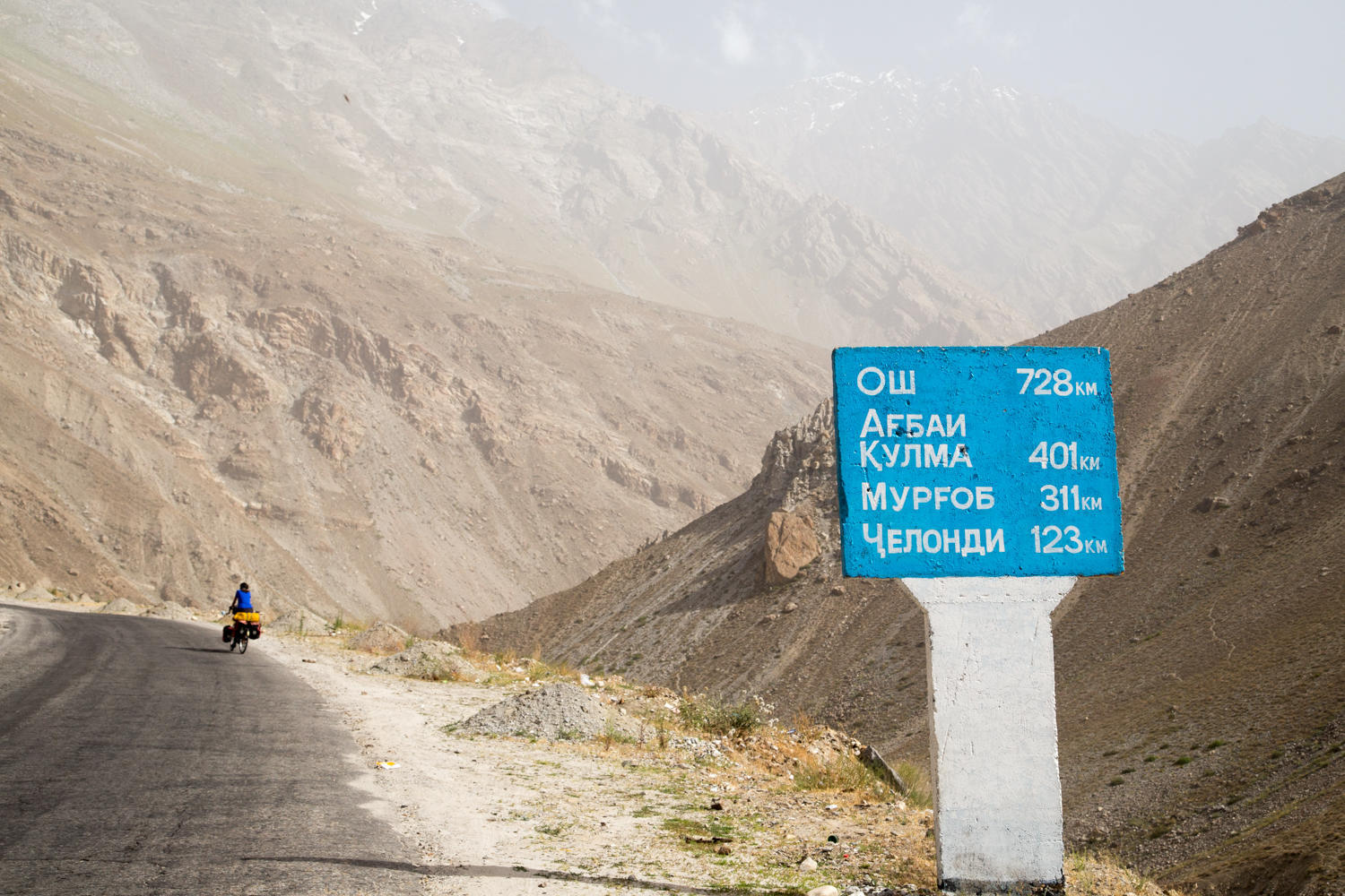
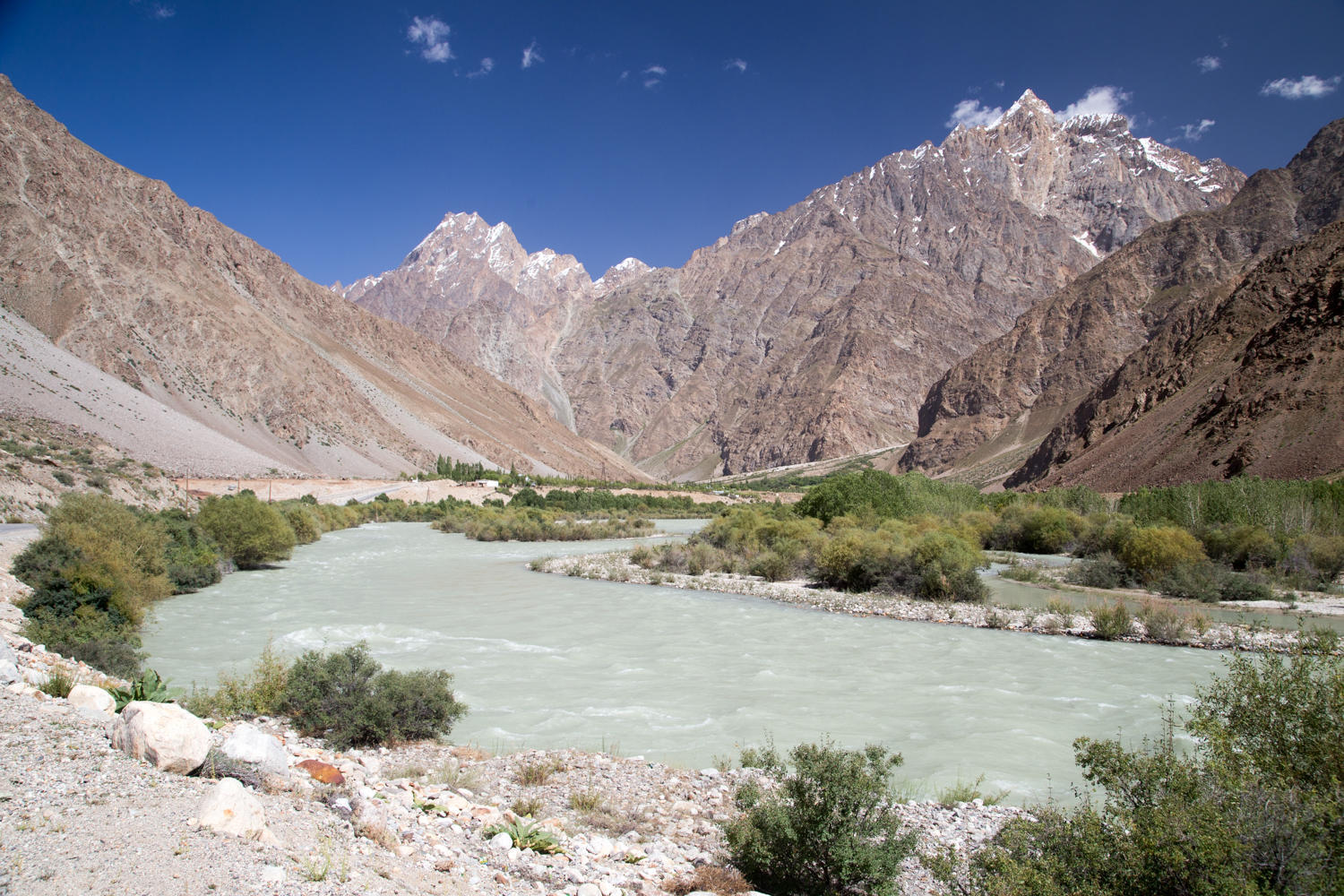
The original Pamir Highway we take follows the Gunt River up the Pamir Plateau where it is joined by the longer Wakhan Valley route. From there it is on to Murghab and then north towards Kyrgyzstan.
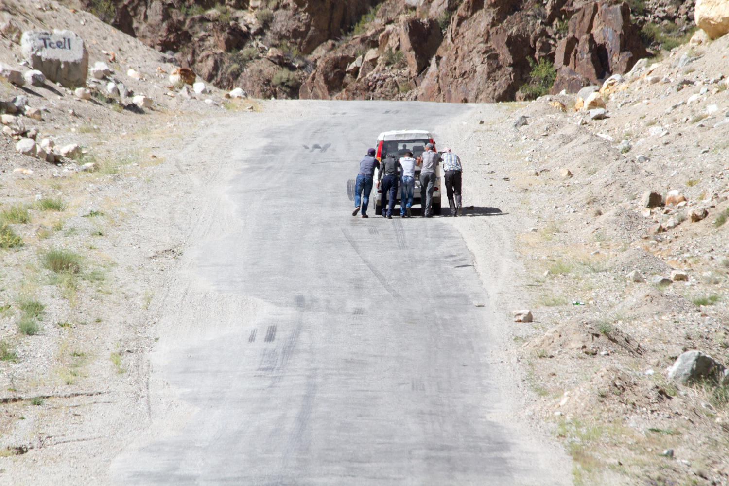
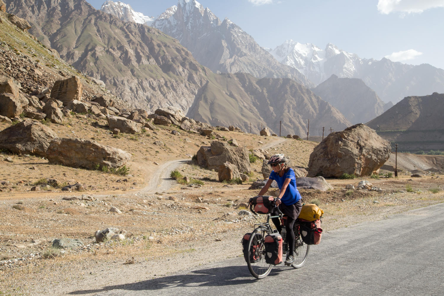
Right out of town there is a tough climb up to a series of avalanche tunnels. Then a short downhill to a police checkpoint. It takes them a long time to scrutinize our passports, visas and the GBOA permit. This region of Tajikistan has an autonomous status that goes back to the Soviet days. The western part is mostly inhabited by the Pamiri people, further east are the Kyrgyz herders. To travel here one needs a 20 dollar permit.
Two Dutch guys we met at the hostel pass us by, a little later we help them finish off a watermelon by the roadside. Over the course of the day we need to gain about 700 meters altitude and do about 60 km to stay on a schedule that will take us to Murghab in five or six days (it depends on the tailwinds we are promised once on the Pamir Plateau).
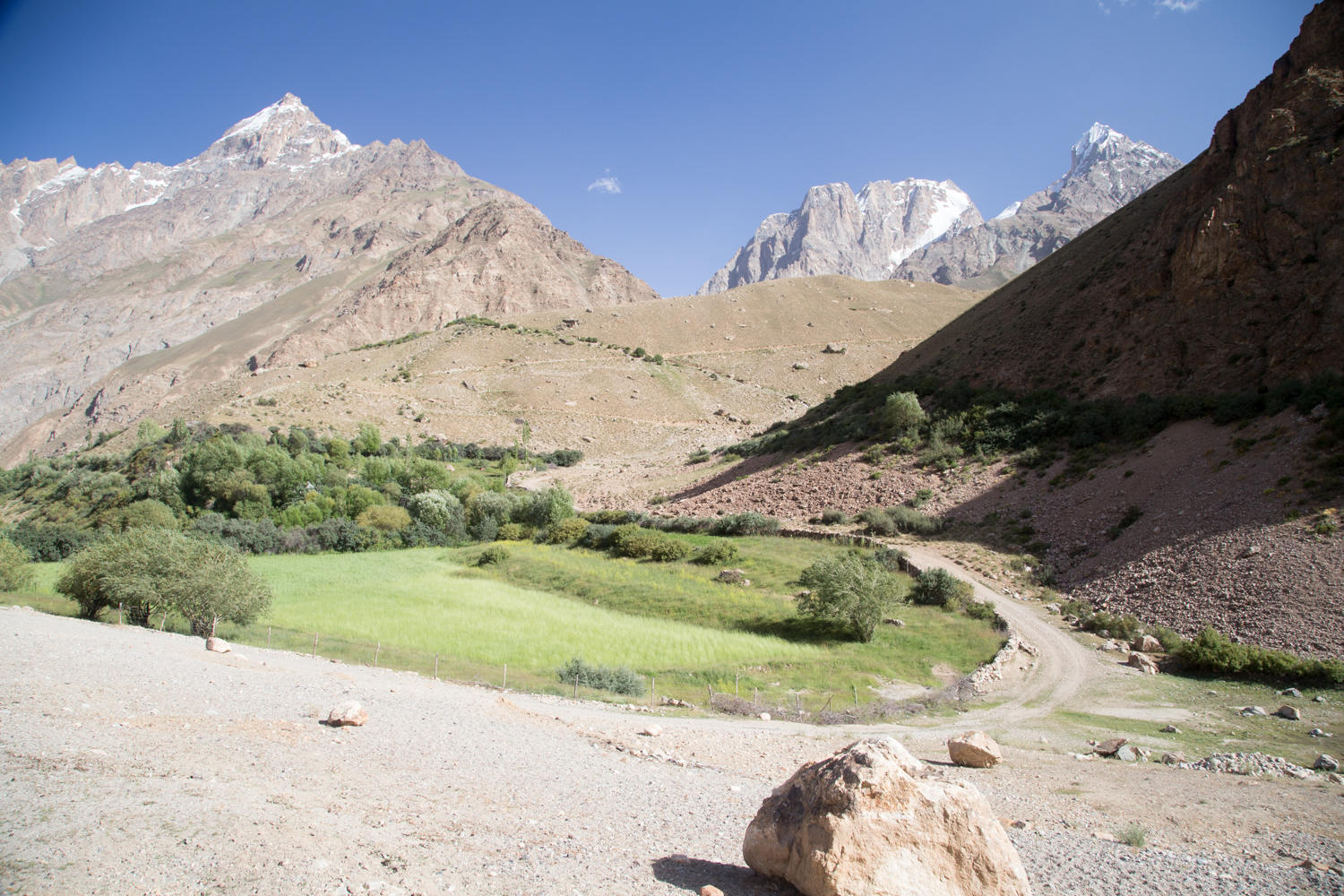
In the morning our views are obstructed by a persistent dust haze that blew into the valley yesterday, but as the day wears on the mountains are getting clearer. There are some nice peaks up the side valleys. At one spot a huge landslide dammed the Gunt River a couple of years ago and created a lake that flooded most of a town. The road was closed for weeks. The blockage still has not been completely removed but a rough temporary road gets us around it.
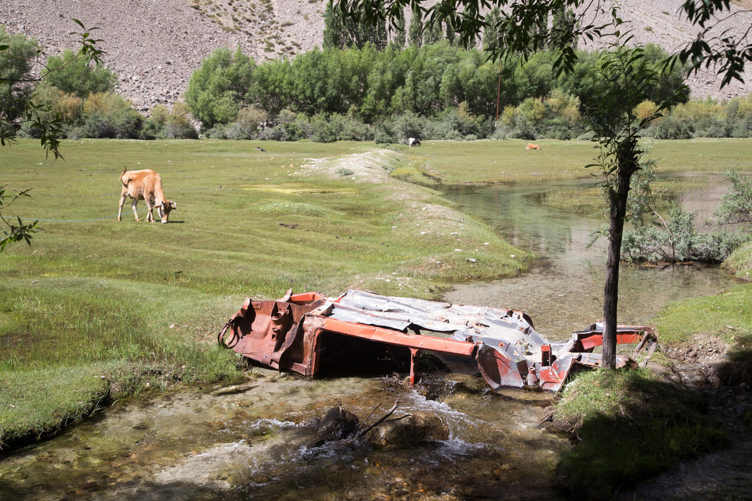
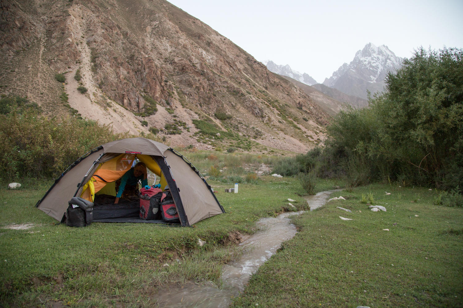
After about 62 km we expect a village with a restaurant, which would make a possible camp spot, but no such luck. There is a town and we even see a touring bike with orange panniers parked against one of the houses, but no restaurant. We continue on and check out a couple of places for wild camping. The Dutch pass us again. There is a good spot behind some willow bushes behind a bus stall, but some guys in a Mercedes that see us want to charge 30 Somoni for the spot. No deal. We ride another kilometer and find a very nice spot on some green grass, next to an irrigation ditch and hidden from the road. The irrigation water is a bit silty, but the filter takes care of that.

| Heart | 0 | Comment | 0 | Link |

| Heart | 0 | Comment | 0 | Link |

| Heart | 0 | Comment | 0 | Link |

| Heart | 0 | Comment | 0 | Link |
Today's ride: 68 km (42 miles)
Total: 19,177 km (11,909 miles)
| Rate this entry's writing | Heart | 0 |
| Comment on this entry | Comment | 0 |