April 1, 2012
It's the Map, it's the Map, it's the Map!
Grandchildren Avi and Violet have become fans of Dora the Explorer, and consequently so have we. Dora travels forested areas near her home, seemingly in Central America, usually travelling to rescue an animal in distress. This gentle cartoon asks the viewer for opinions and help, but Dora often turns to "The Map" and the "Backpack" for information and supplies. The "Map" never displays more than three landmarks, which Dora and the viewers memorize with much repetition.
When the Map is called forth, it triggers the tune "It's the map, it's the map, it's the map". Dodie and I have been singing that a lot ourselves lately!


| Heart | 0 | Comment | 0 | Link |
Most would agree that the Map is critical in cycle touring. It depends on where you are, of course. In the U.S. Southwest, a state road map will be good enough (though some will use ACA maps), and in Quebec - you can probably get by just following the trail marker signs of the Route Verte. But for Europe, a huge array of bike route and other maps both exist and are generally felt to be necessary. Photos like this one of ours are quite common on Crazyguy:
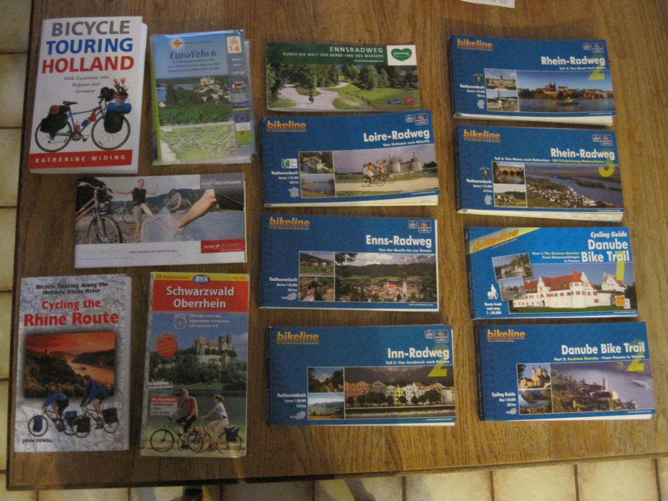
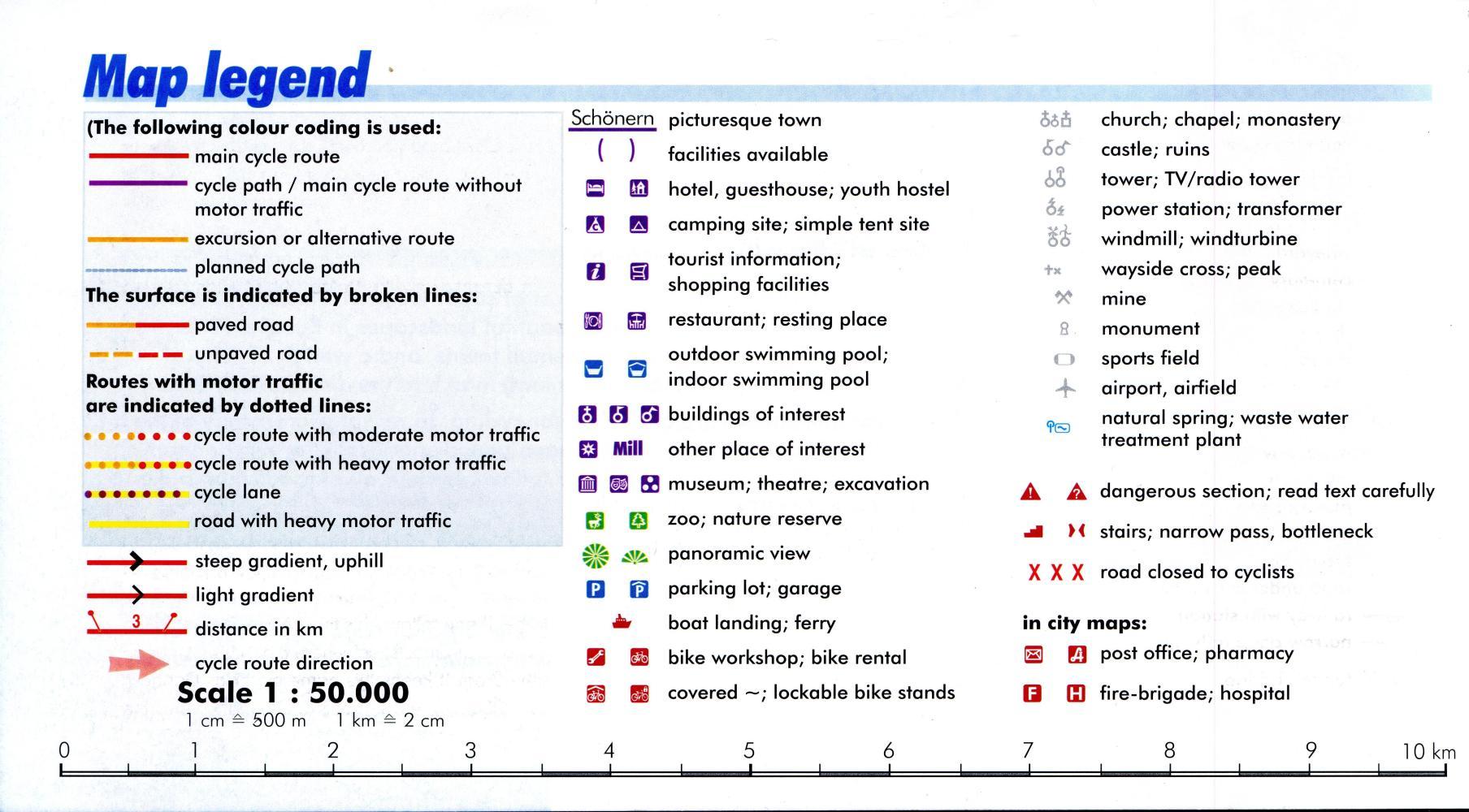
These maps, particularly the Bikeline ones, are wonderful. They are a little like the ACA ones for the U.S. but even better. They have detailed route and cultural descriptions, and have symbols showing an insane number of route types and roadside points of interest.
The problem with these maps for a long tour, though, is their sheer detail - which translates into weight. The maps of various types covering most of our route weighed in at just under seven pounds. Seven pounds! for that kind of weight I could pack something really useful, like a port-a-potty or something!
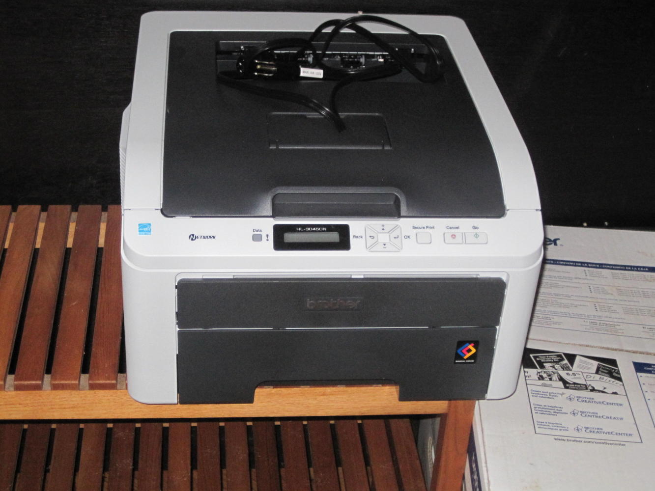
Our solution involved the usual application of almost unlimited time, and money. We went out an bought a colour laser:
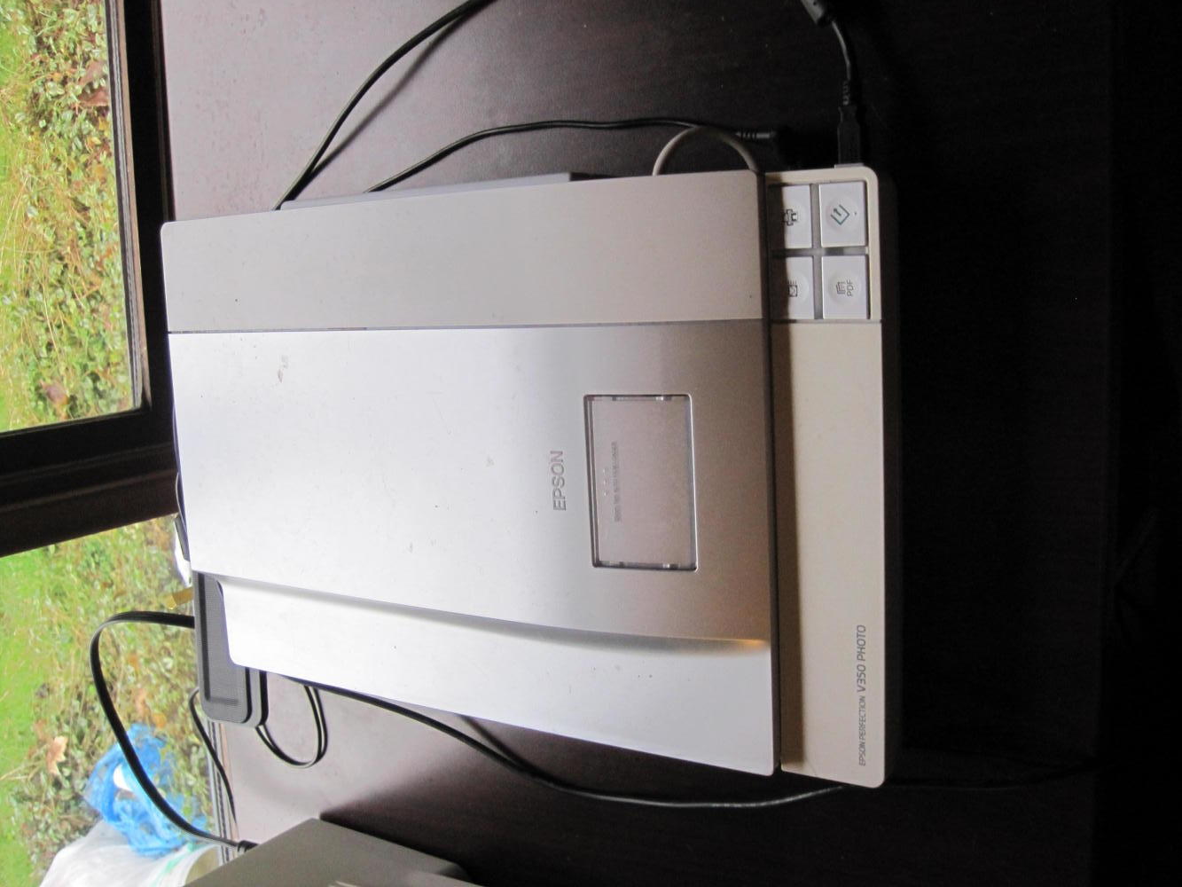
...and dragged out our colour scanner:
Then we figured which exact pages in the map books, or which exact parts of other maps we were actually going to be following. So we discarded helpfully included side trips, or huge tracts of land on large maps that we knew we could never visit. We also discarded all the helpful (mostly German) text, even when it said things like "turn left under the bridge, the way is not marked but this is the only way through" or stuff like that. The listing of our route in terms of what maps we would be cruising was not simple:

| Heart | 0 | Comment | 0 | Link |
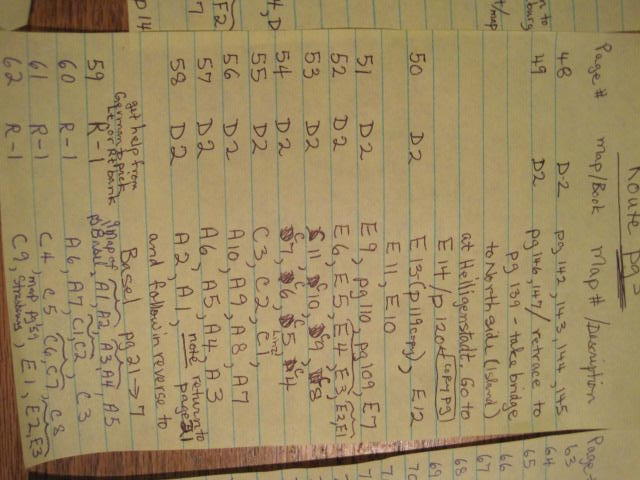
| Heart | 0 | Comment | 0 | Link |
Next we scanned and printed onto double sided 8.5 x 11 paper every map segment we would be using. It amounted to 144 pages (72 sheets), but these weigh only just under 2 pounds.
Excluded from this massive scan and reprint exercise were the Huber Verlag EuroVelo 6 maps from Atlantic to the Rhine, and the Sustrans maps for the Thames Valley. The Weight Police deemed these acceptable to carry as is!
| Heart | 0 | Comment | 0 | Link |
So with all this map study (and no help from Dora, or Maggie) we now have sort of an idea where we want to go. We provided for some side trips and extensions - like proceeding all the way up the Inn River to Innsbruck, or cycling back along the Danube from Vienna on the opposite bank, rather than taking a train to Ulm, but here is our main route plan:
| Rate this entry's writing | Heart | 0 |
| Comment on this entry | Comment | 0 |