June 13, 2013
Seven: Durham and North Yorkshire: Newcastle to East Rounton
Felling, the place on the cycle-route sign I spotted while across the river in Gateshead yesterday, happened to be in the direction of Sunderland when I checked the map. It wasn't the direction Is thinking of, as a glance at the map shows it's almost all built-up. I was aiming south-south west, inland. Not quite as far as the Pennines, just far enough to clear the big towns towards the Durham coast, until I pass Middlesbrough when I could turn south east again.
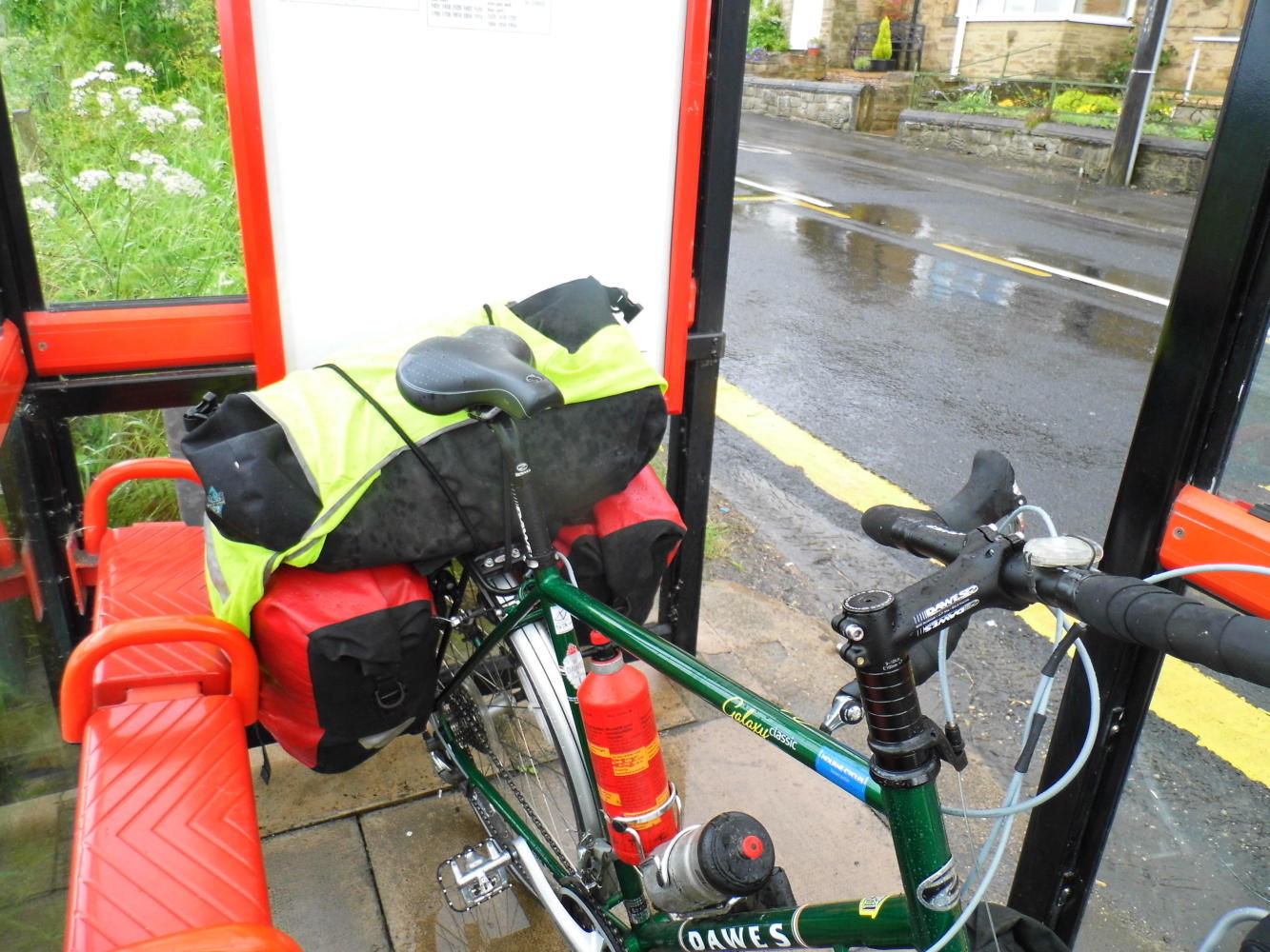
The morning was dull and the streets were wet as I climbed the hill out of Gateshead; and as the road crested the hill, Is on a road with houses along the left side and a view off over open countryside to the mountains on the right, were the rain was coming down and closing in. Soon it came down in big cold spots pelting off the road. I had no place to run in to shelter so I could put on my waterproof, until I got to a bus-shelter.
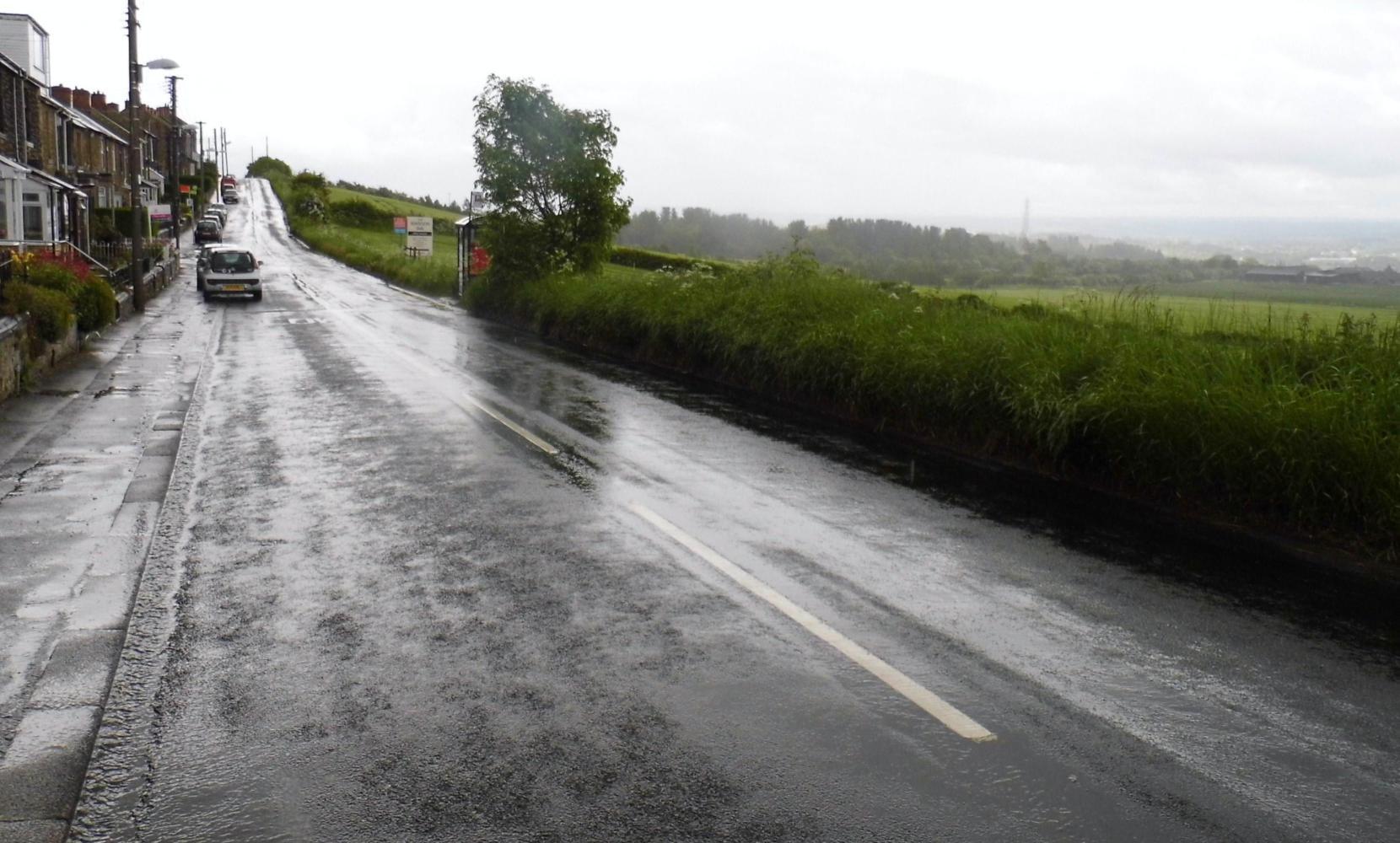
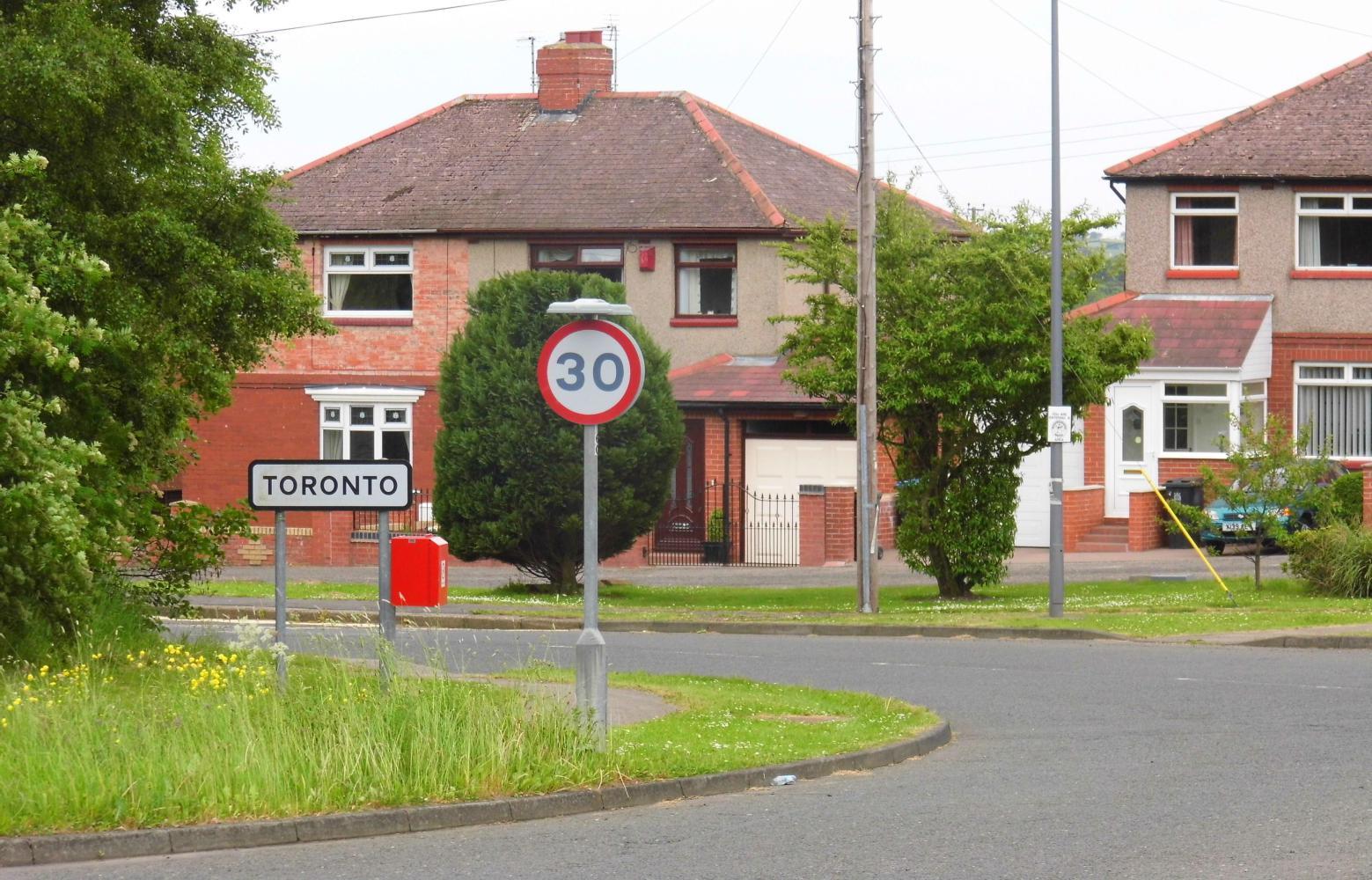
The rain soon moved on and it cleared so I could ride on. It was not far more until the semi-rural road Is on came to a big roundabout, with the only way on to the place I wanted to go a busy A road. There were small white signs for local places, but when checking my new atlas, I couldn't quite spot them. It felt confusing and I began thinking that I wasted my money on the atlas. That it was for motorists and of little use to a cyclist. Finally after much riding around about the roundabout lost, I did see a small place on a sign which I found on the map and was in the right direction. When I reached this place, while at another roundabout, I saw a sign with Chester Le Street which was towards Durham city, the way I planned.
The road was urban A road in which the traffic wasn't moving too fast, so I was fine cycling at the side. Then passing through a town, one of many on the route, I saw a blue cycle-route sign. I followed the blue signs, but they led to a roundabout where I couldn't see no more for the designate cycle-route ahead. From here it was only another six miles to Durham which I rode fast on a shoulder-less dual-carriageway, taking care to keep as tight to the inside curb as possible without clipping the pedal.
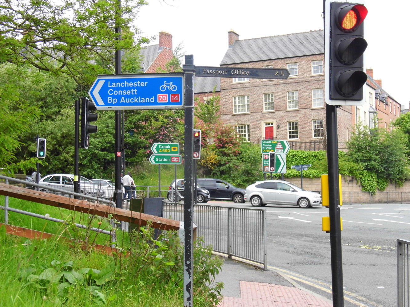
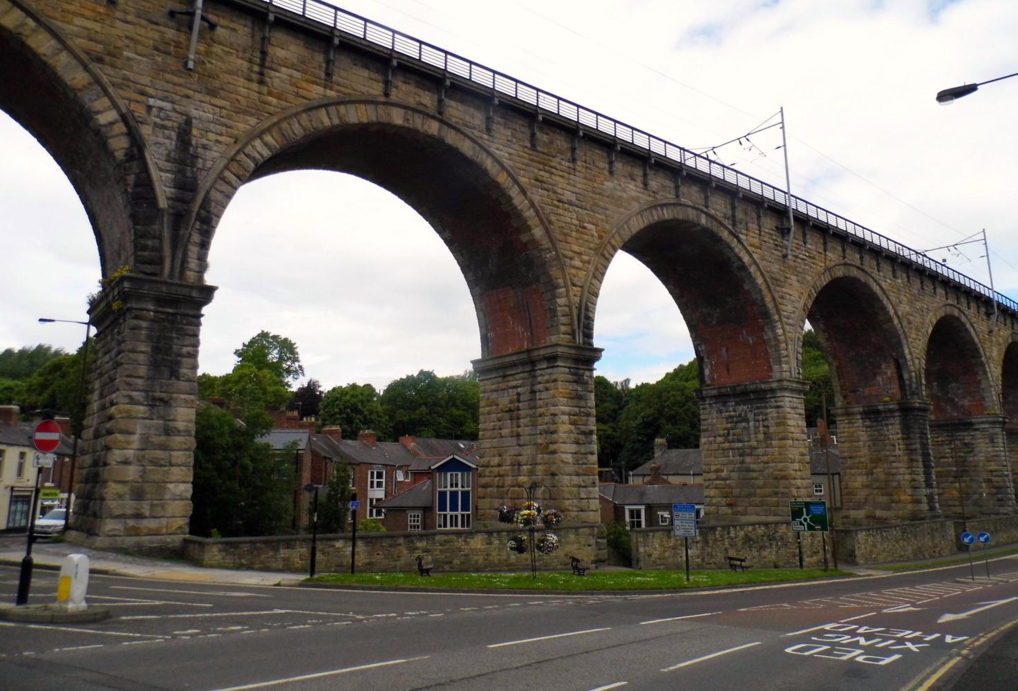
I passed through a few roundabouts until reaching the one with an exit for Durham. I turned off and shortly came to a small roundabout where I wasn't sure which way I should turn for the town centre. But at a pedestrian traffic light on the road I turned onto that looked most likely, I saw two elderly cyclists and the blue cycle-route signs again; one, pointed to Bishop Auckland, exactly the way I needed to go, the other, Durham centre, where I needed to buy supplies.
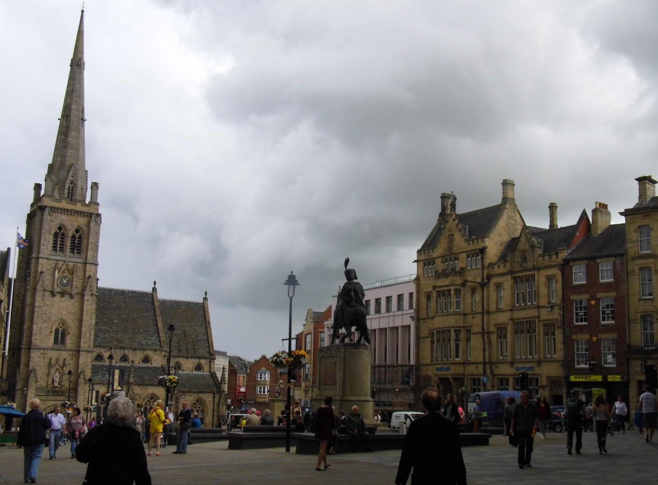
The two cyclists let me go first and it was a bit of pausing and wondering, looking at the blue signs at street corners until the way led across a wide foot bridge where a busker played a acoustic guitar, singing Roxanne which was a nice change to the noise of traffic. From the bridge it was a steep cobble-stone climb up to a square where the cloud was closing in again. There was a Tescos Metro on the corner. When I'd put in the basket what I needed and returned to the front of the shop to the check-out, I saw the street outside soaking wet after another downpour. Seems I'd timed it right being in the supermarket during the rain.
| Heart | 1 | Comment | 0 | Link |
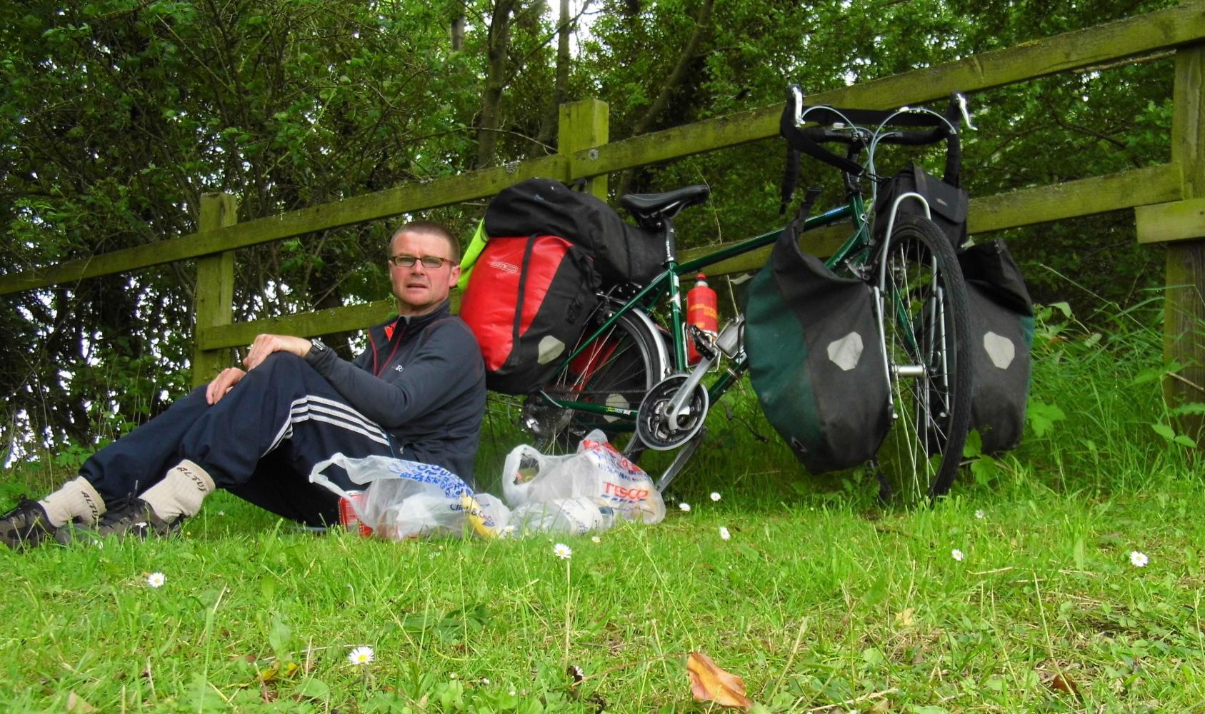
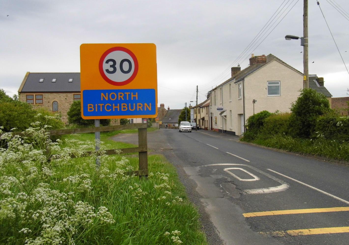
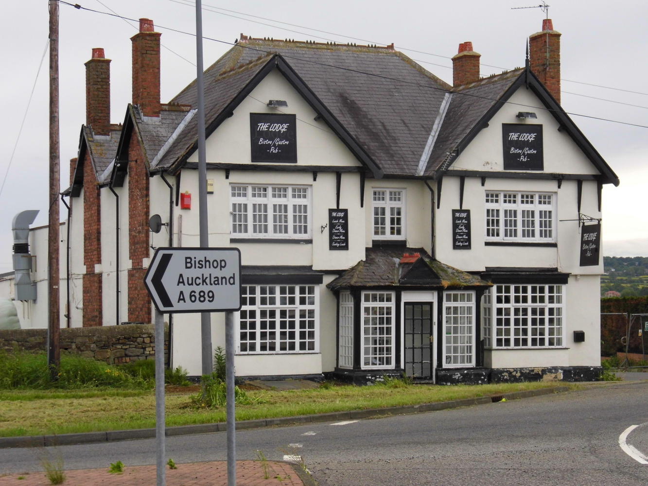
I found one use for the atlas, to sit on on the damp grass on the wide mowed verge where I stopped to lunch along the road onwards. The road seemed to be one long gradual climb toward the Pennine mountains, to a place called Crook, which my route veered south towards Bishop Auckland before reaching. I was now on a B road with the greens of wheat and barley and yellow of rape-seed either side, passing through quaint villages and following the sign for the route onwards. Eventually Is back on the A road again on the way into town. All the signs where for Darlington and Stockton-upon-Tee, just west of Middlesbrough; or, the blue cycle-route sign was for Barnard Castle, which was well off the direction I wanted to go. I followed the blue signs anyway and it took me by the part of town called West Auckland.
I was heading back into open country. I had ignored the blue cycle-route signs and instead was cycling on the shared use path at the side of a dual-carriageway. I had seen on my atlas a squiggle of two parallel lines lead off the main road to a place called Templeton from where there was a straight line of a B road to a place called Peasebridge and onward to Scotch-Corner. I knew the path at the side wouldn't last and was anxious to find my way off to this road, so it was a relieve to see a sign: Templeton at the next roundabout.
| Heart | 1 | Comment | 0 | Link |
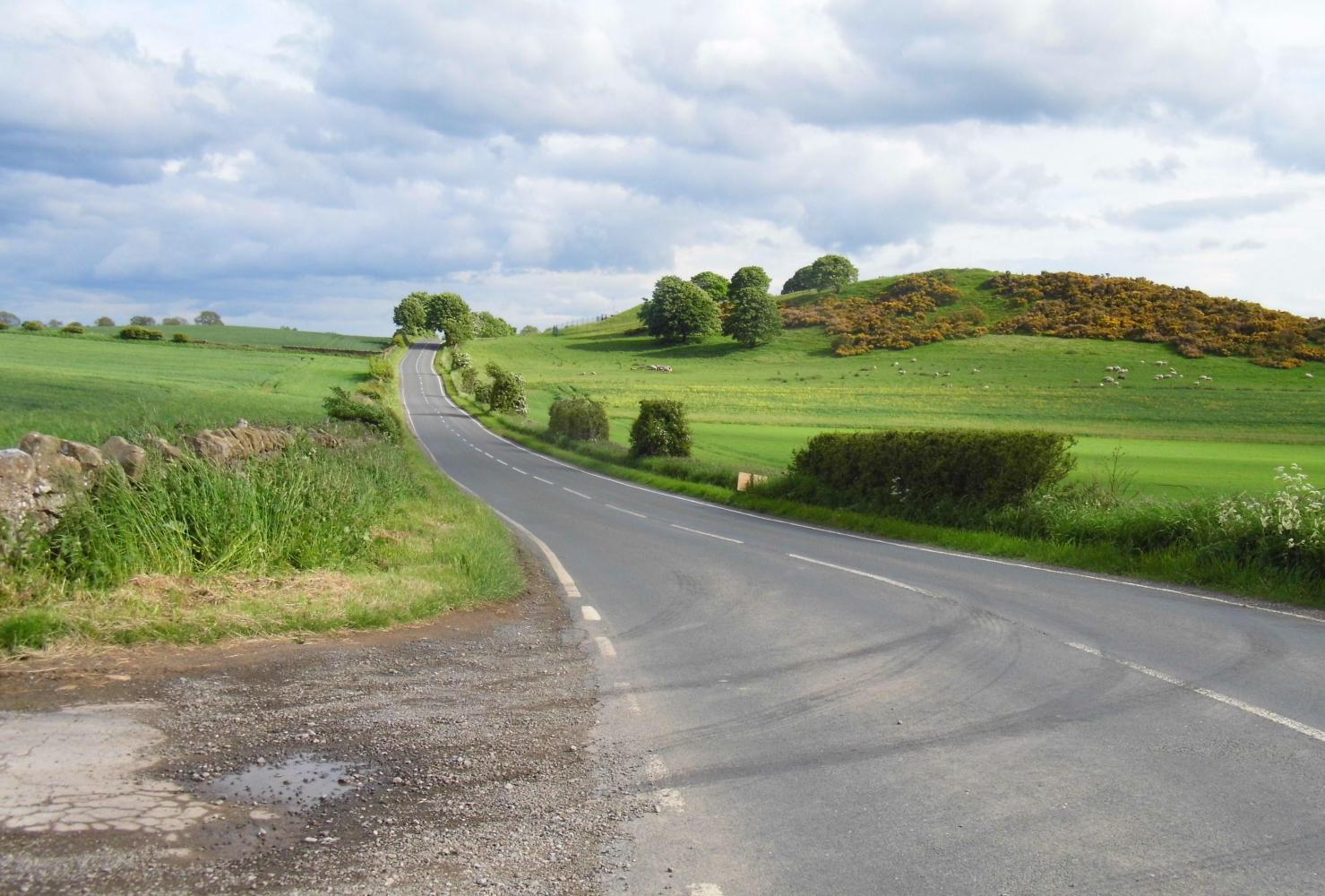
At last I was on the sort of road I would've liked to have been on all day, riding through rolling farmland and through rural villages. I passed over the river Tee and into the county of North Yorkshire and headed for Richmond, even though the B road continued straight on to Scotch Corner, the services on the A1, where the B road ended and I thought maybe there'd be no way past this busy road, and from Richmond there was a road which continued across the A1
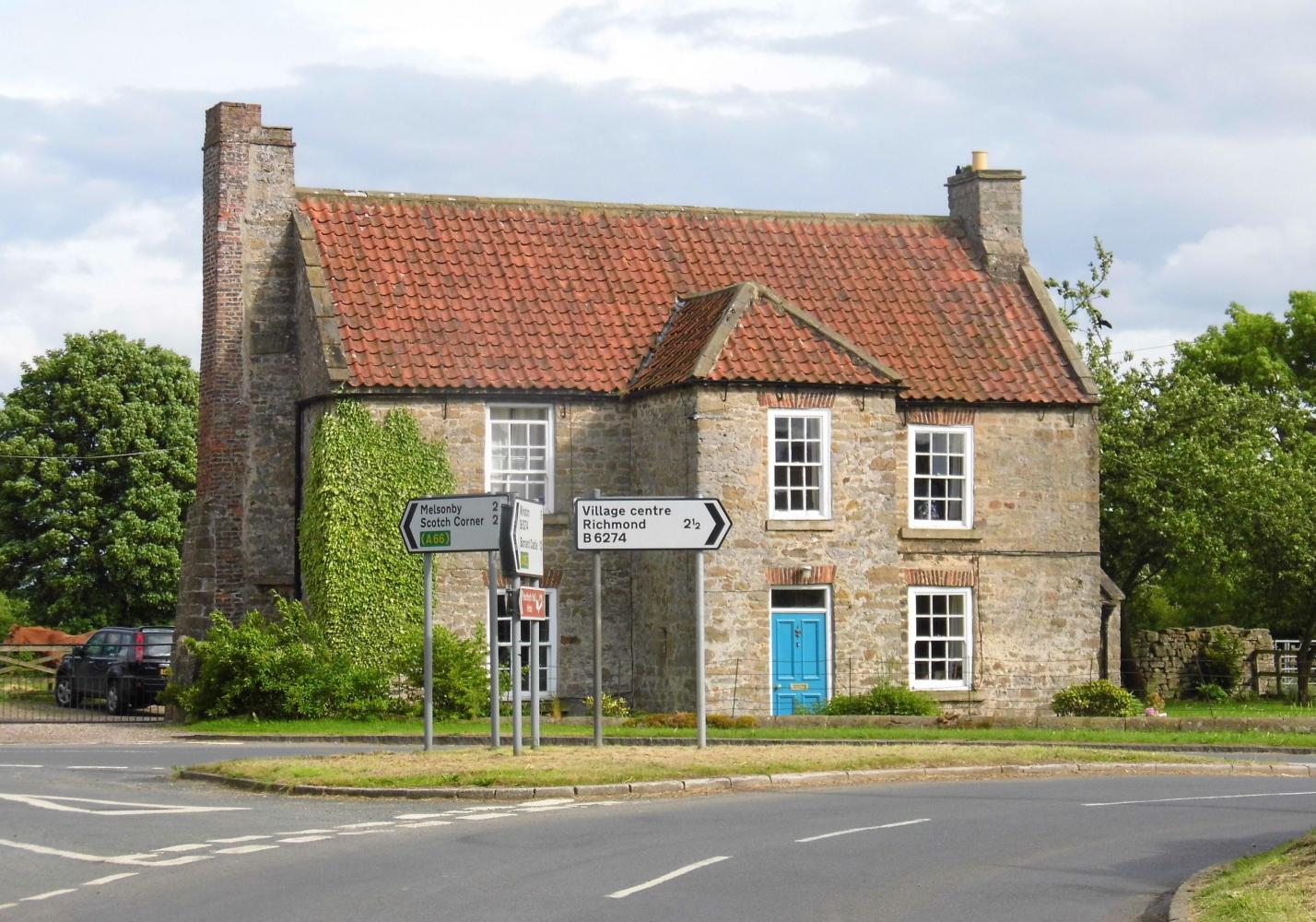
It was perhaps not more than a ten mile detour, but it took a lot of time. When I approached Scotch Corner, I saw a sign for Peasebridge, so the detour was un-necessary.
Beyond the busy junction to the east of the A1, Is back on country lanes with the hills of the North York Moors ahead. There were small villages and farms every few hundred metres, and the prospect of camping wild, unseen was looking hopeless. But with a bit of creativity there's nearly always somewhere to camp.
Riding out of East Rounton, the road was enclosed by a canopy of trees with a woodland grove on the left in which there was a gap through to a gate into a field, overgrown with waist high nettles and wild grasses so clearly not in use, it provided perfect cover for my green tent.
Expenditure total: £11.42
Tescos shop £9.07
Starbucks coffee £2.30
Today's ride: 108 km (67 miles)
Total: 646 km (401 miles)
| Rate this entry's writing | Heart | 2 |
| Comment on this entry | Comment | 0 |