June 15, 2013
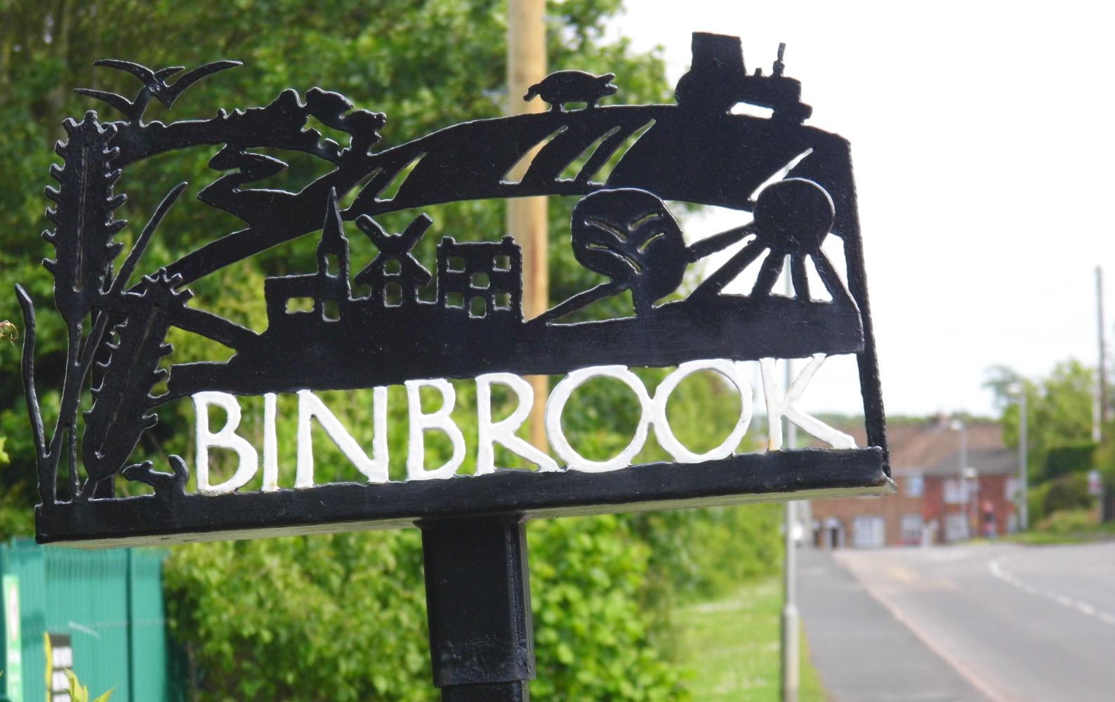
Nine: Yorkshire and Lincolnshire: Wiewang to near Louth.
I tuned the radio. The opening bars of Laila droned, then the weeping whine of the guitar solo followed into a melancholy chord change and the desperate voice began "What do you do when you get lonely....." accompanied by a sympathetic cry from the guitar. I had to turn the volume all the way up to hear above the rain steadily drumming down on the tent. I was wondering what station this was. ...It was, when the track finally faded out, Radio Yorkshire, "welcome to, The Late Show" the female presenter with a soft south east Irish accent announced....
....It was after midnight and the rain was keeping me awake while the radio kept my spirits high. I didn't like the thought of it still raining in the morning and having to take the tent down, pack everything away wet then ride in the rain.
I awoke at my usual time around ten to five. I turned the radio off which was still buzzing away in my headphones and it was quiet, meaning it was no longer raining, and later when I unzipped the tent at half past the hour, the sky was blue. The tent though was in the shade of the Hawthorn hedge and so, when I'd eaten my muesli, I repositioned it out in the sun to dry.
The warming sunshine didn't last long. I had only ridden back along the track to the road and had gone a few miles when cloud began to built up to dark blue rain on the horizon. The sun had gone and it felt cool in the south westerly breeze.
I reached Beverley at quarter to eight and I should've turned for Hull at the lights, but saw an archway and with the assumption that it was the way into an ancient market town, I continued straight under the arch into a narrow street leading to a oneway system which took me around until I saw a blue cycle-route sign: Lincoln Way, the very way I'm going I thought. The sign pointed me along a street past an impressive church, out along the A64, the busy road Is keen to avoid. But after less than a mile shadowing the road, the sign pointed left along a street, then at the end left again. I could see the church tower ahead of me again. Is riding back into Beverley.
A few spots of rain fell, stressing me more, and Is still keen to avoid the A64, so I turned right along a lane leading back out into the country. Then stopped to ponder at a red triangle sign with a bicycle which had blue cycle-route stickers rapped around it's post. "Are you lost" called a man from the open window of a car which had stopped level. "A kind of" I replied. He pointed out that the red triangle bike sign was to warn drivers and directed me back to the main road south which I should've taken before I'd ridden under the arch into town in the first place.
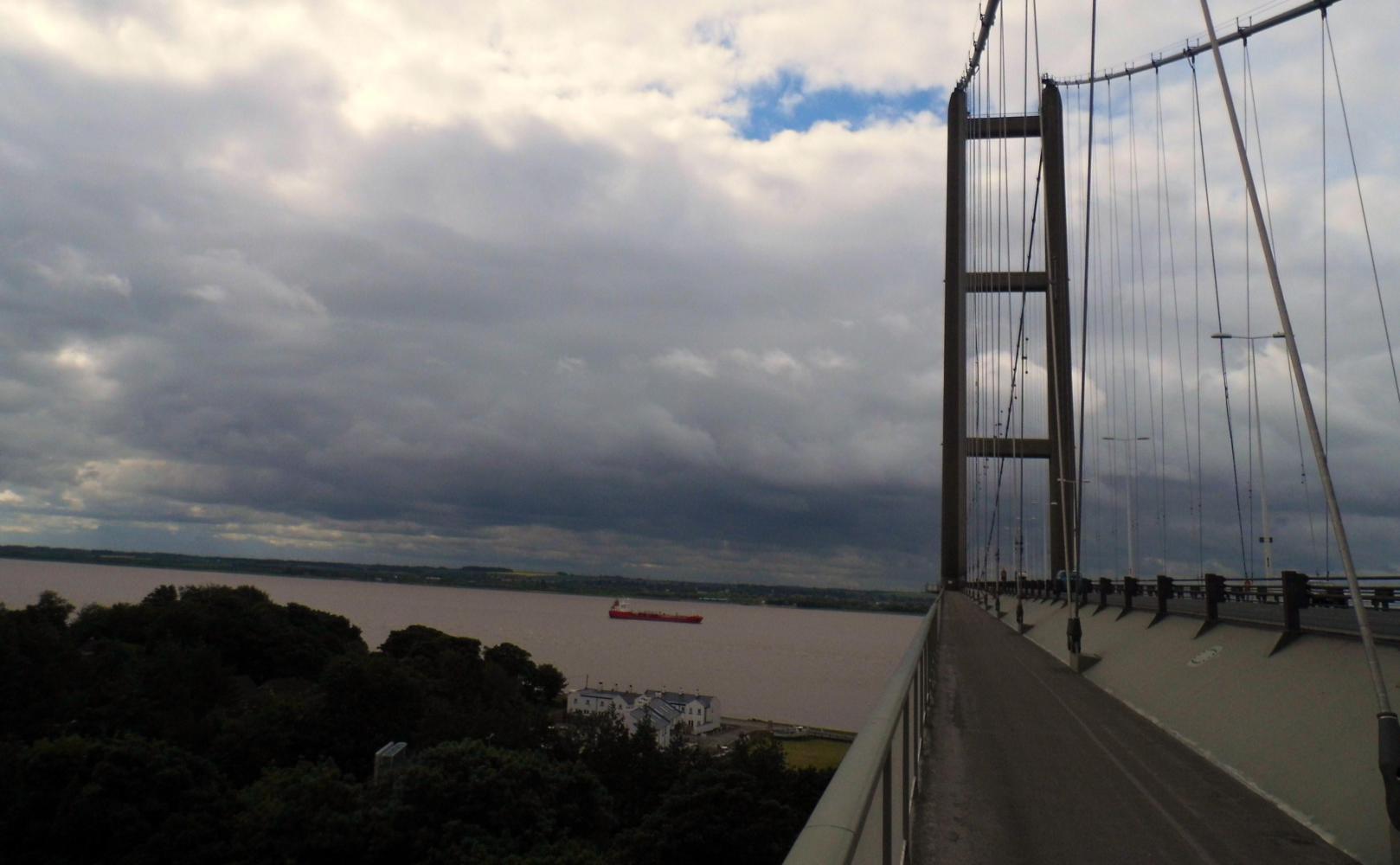
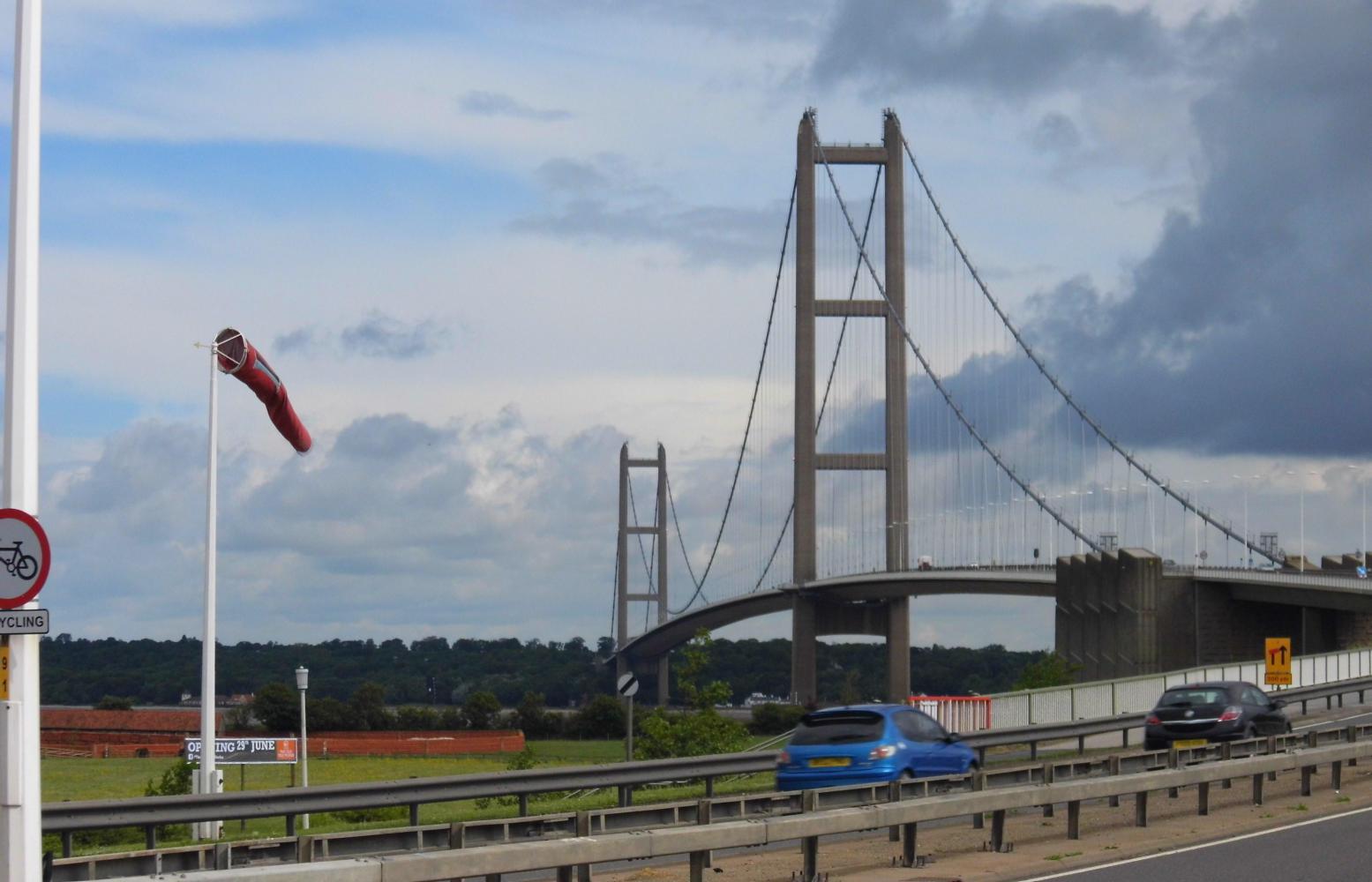
It was a horrible road; shoulder-less-dual-carriageway with a curb on the inside so I'd to ride further out than I would have liked. And much of the way was long uphill drags, slowing me and making me even more of a target for passing cars. The blue cycle-route sign reappeared halfway, pointing to a place called Cottingham, but I'd resigned the thought of a quiet traffic free way for the moment. There was only one way until I crossed the Humber Bridge, thereafter the choices of where I cycle next spread east to west.
The rain was holding off nicely, but crossing the Humber Bridge, the rain was pouring down on the Lincolnshire side of the estuary. I was hoping the cloud and dark blue shafts of rain would soon clear and move off east.
| Heart | 0 | Comment | 0 | Link |
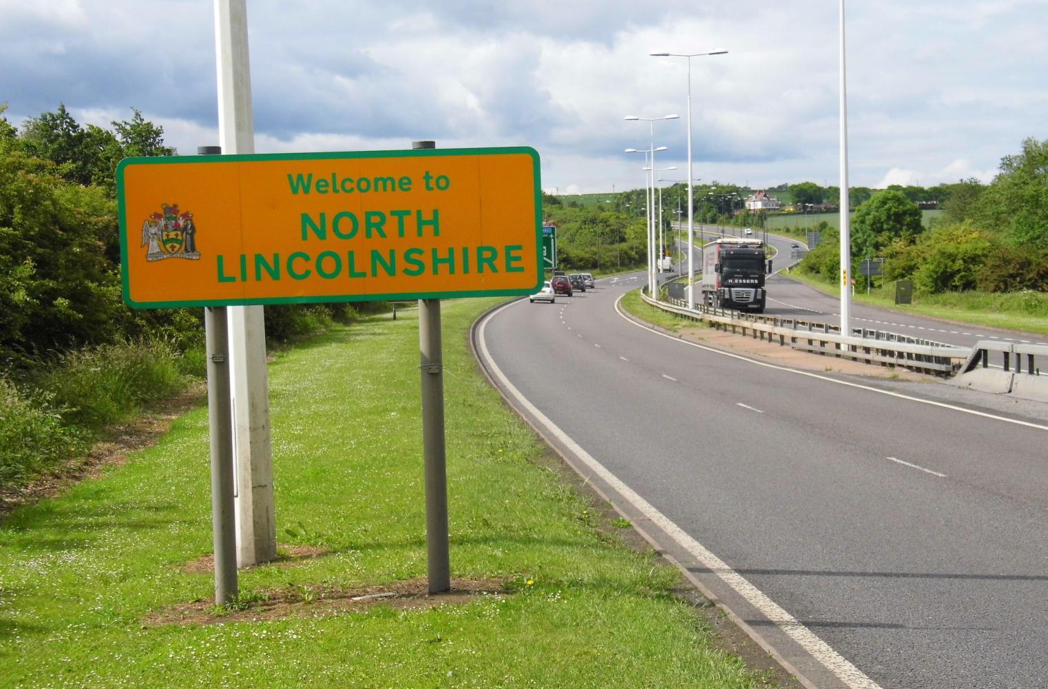
Remembering back to 1998, when I previously rode across the Humber bridge, I think then the "East Riding" on the Yorkshire side, together with North Lincolnshire had been renamed Humberside sometime in the recent past. I remember hearing after that that the locals didn't much like this, especially on the Yorkshire side. They were proud to be Yorkshire and who had thought of calling them Humberside. Now it seems they've changed back to the original county names.
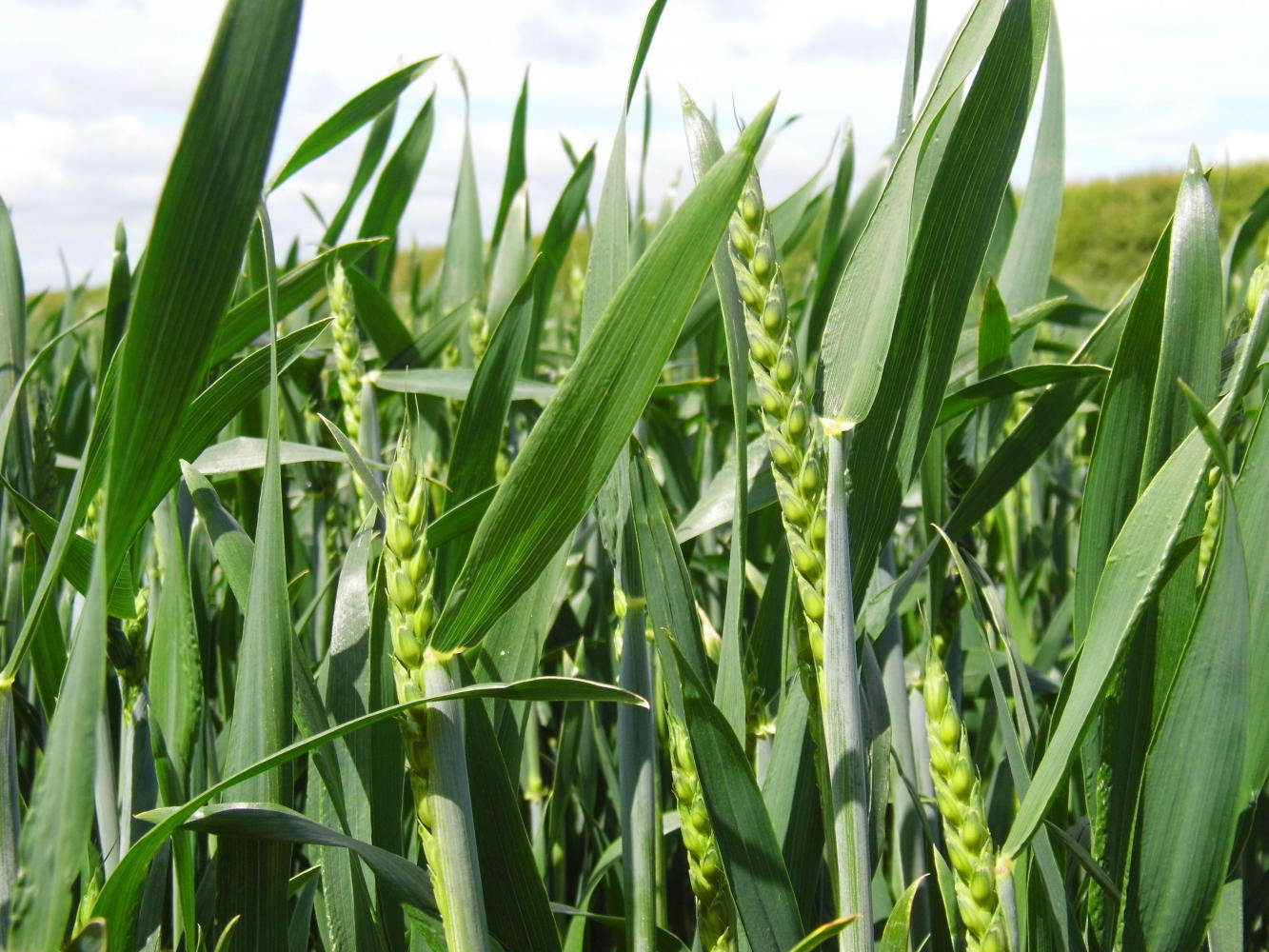
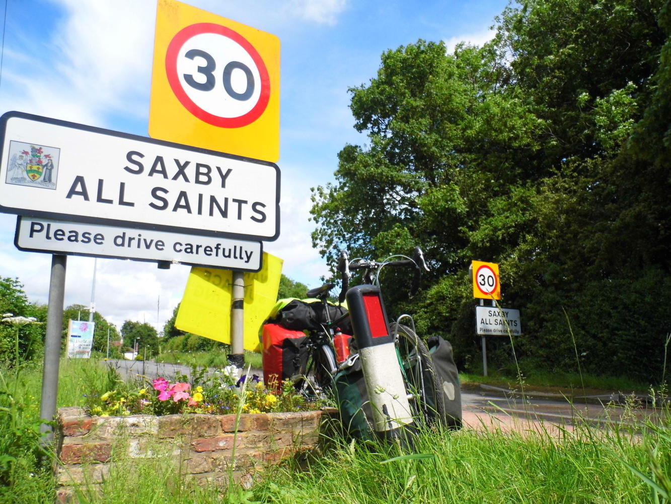
From the southern bridge approach, I rode west on a little used lane looking down on the brown body of the estuary to the right. After a mile the lane turned inland and uphill with wheat fields either side. It took me onto the B1225 to Brigg. It had turned out nice. And I enjoyed the ride through each small village in the sunshine. Small villages where nothing much ever happens. One had the name "Saxby All Saints". Now there's a name, I thought. I could take a photo of the sign and write any number of amusing captions.
| Heart | 0 | Comment | 0 | Link |
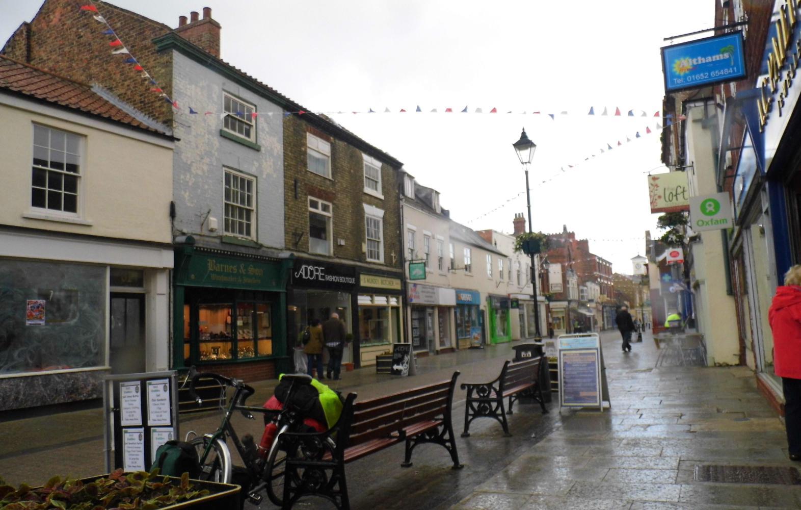
I reached Brigg shortly after noon. Lunchtime and was I hungry. The pedestrianized high street had four bakeries, plus a fish and chips shop which I resisted the temptation of as I wanted something lighter while still being tasty. I bought a sandwich from a bakery, which was light, it was small, and was more bland than tasty, called a bap, spongy bread, and the turkey filling was processed roll and didn't taste of anything much.
I sat on a bench eating while the dark clouds moved in over the rooftops and soon big cold spots of rain caused shoppers to rush for doorways. I moved to a seat under an awning fronted cafe, and read cappuccino on the chalk board, and underneath, instant coffee cup, or large, mug; so I wasn't tempted by the coffee, as there was enough caffeine in the coke I was drinking.
The sun was shining again and I spotted a Lydl on the way out of town where I done my daily resupply. I like the German supermarket because they've a bakery. I especially like the warm freshly baked apple turnovers.
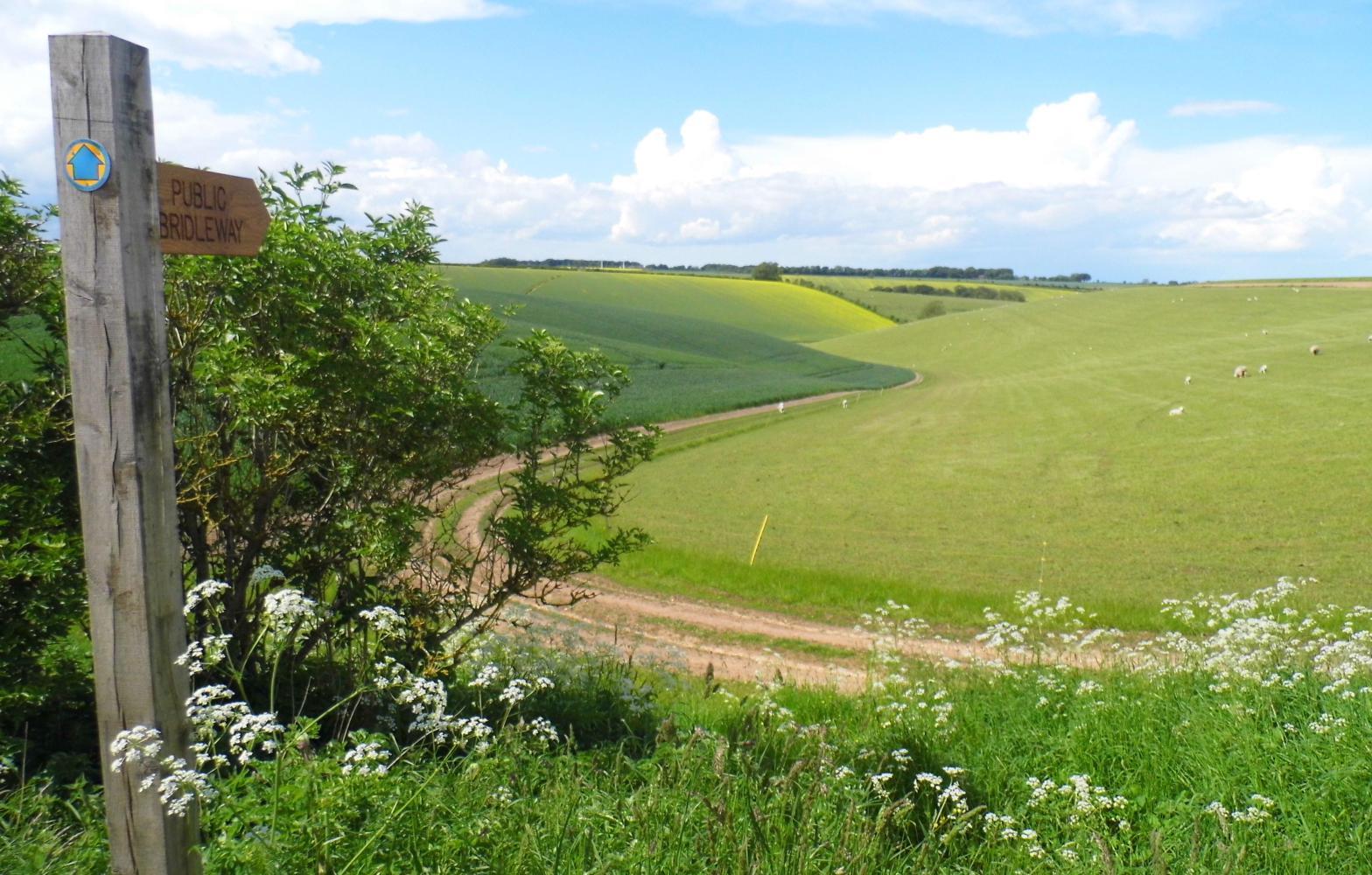
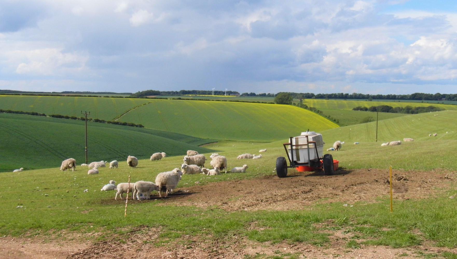
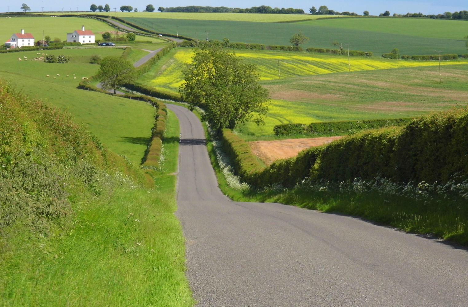
I took a B road towards Louth. I was entering a yellow shaded area on the map which in the key said: Area of Outstanding Natural Beauty. And most of the roads had a green outline meaning scenic route. Lincolnshire Wolds was written, low rolling hills. I was in for a Saturday afternoon of delightful cycling on small traffic free by-roads. There was only one anxious moment, when I'd stopped in a gateway to oil the chain. I thought I'd also use my pump to put a few blasts of air in the rear tyre. But when I put the pump on the valve, the air started rushing out, the tyre going flat, and initially I couldn't get the pump to stay on the valve. It was a relieve when it did sit firmly on and I could pump the tyre up hard again.
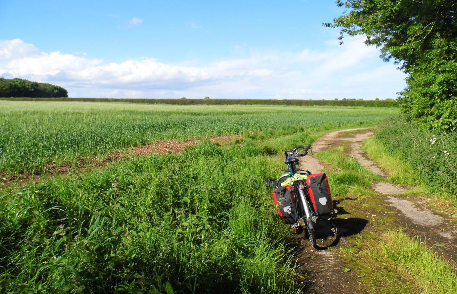
By six I'd turned off and had ridden along a public bridleway to a halt on the edge of a barley field. There was a farmhouse through the gateway at the opposite side of the next field so I didn't put the tent up to near nightfall; meanwhile, I picnicked, cooking pasta, wrote my diary and planned the route ahead on the map.
| Heart | 0 | Comment | 0 | Link |
Expenditure total: £7.14
Sandick, date square and coke from bakery in Briggs £4.49
Lydl shop £2.65
Today's ride: 103 km (64 miles)
Total: 843 km (524 miles)
| Rate this entry's writing | Heart | 2 |
| Comment on this entry | Comment | 0 |