July 25, 2013
Inland: Godafoss to Svartarkot; then to Alderjarfoss
Because of the dim light, it was no surprise to find yet another foggy morning when I unzipped the tent. Seems, here I don't wait for the sun to rise, I wait for the fog to lift.
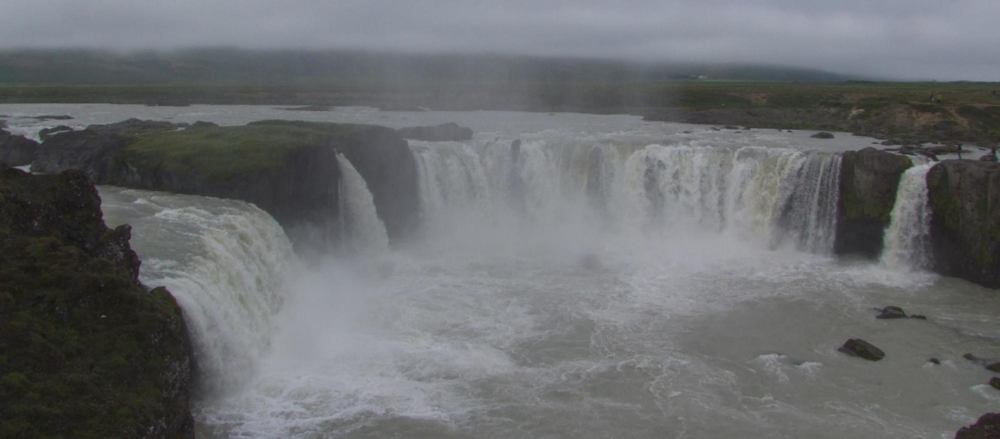
I saw the German cyclist with his camera and tripod by the waterfalls. He was complaining he didn't have the right polarizer. "The light is too much. It needs to be a few stops lower" he said. "Didn't you get a good photograph yesterday evening" I asked. "No. It was too cold when the sun went down. I've only got these shorts" he said and sure enough he'd only cycling shorts and a shell-top.
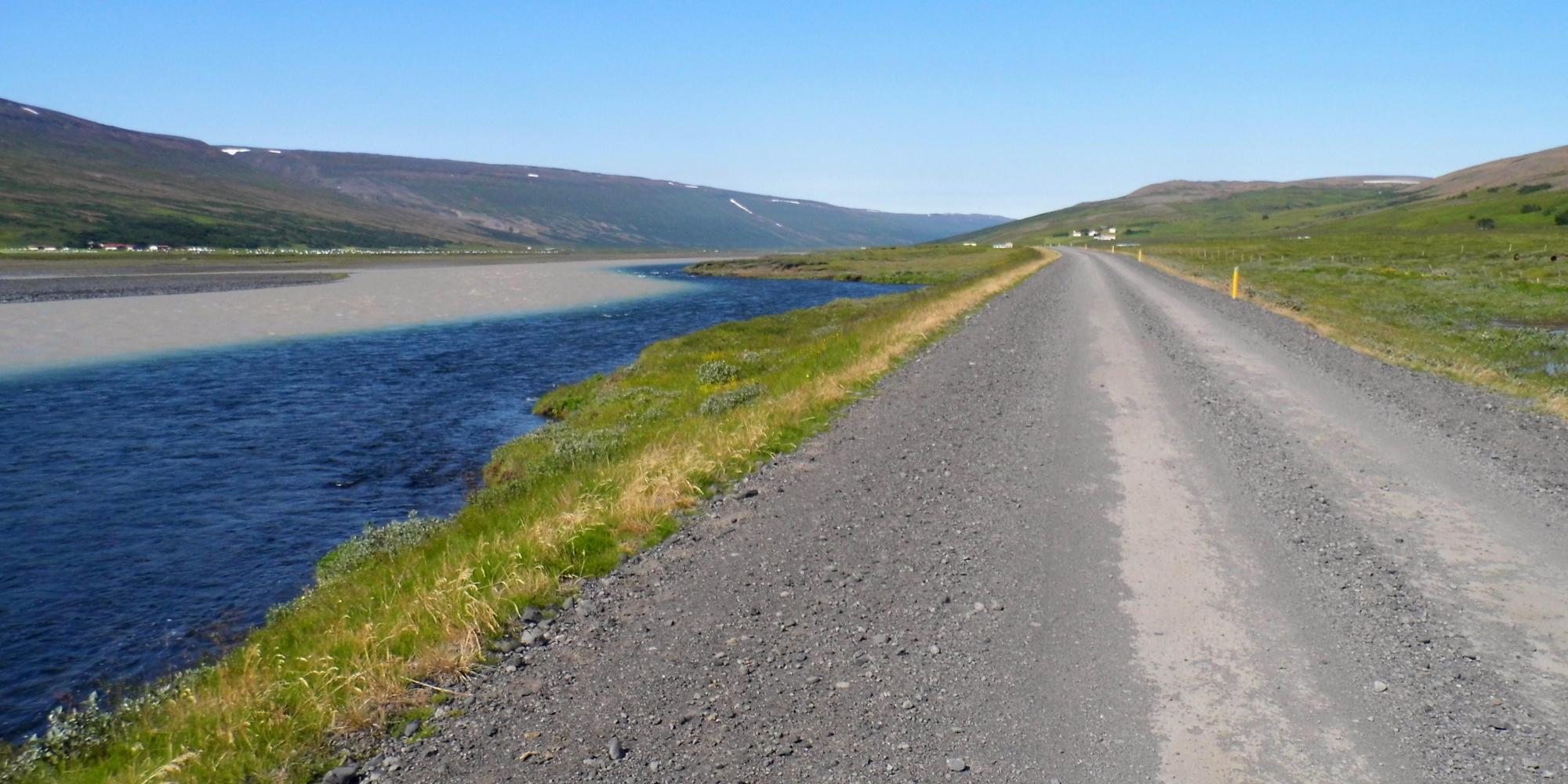
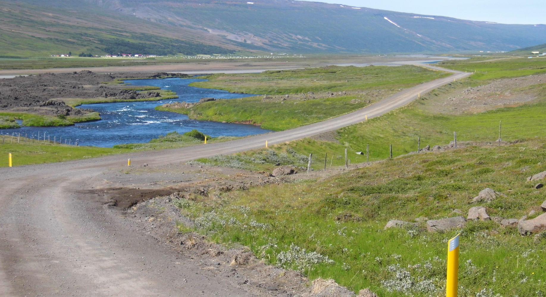
It was nearly eleven o'clock when the sun broke through and the last of the fog lifted. I had my last coffee in Fossholl café and set off. The road south along the Skalfandafjot river through Bardudalur was a good sealed gravel road, and continued good after climbing steeply up from the valley out upon the plateau, with the familiar mountains to the south of lake Myvatn to the east and Dyngjafjoll, the mountain massif which circle Askja, straight ahead, blue indicating quite a way off and streaked with snow; to the right of which and at a further distance, blue and white streaked also, I could see the dormant conical volcano, Trolladynga, which last erupted eight thousand years ago. I rode just to the south of this mountain in the year two thousand.
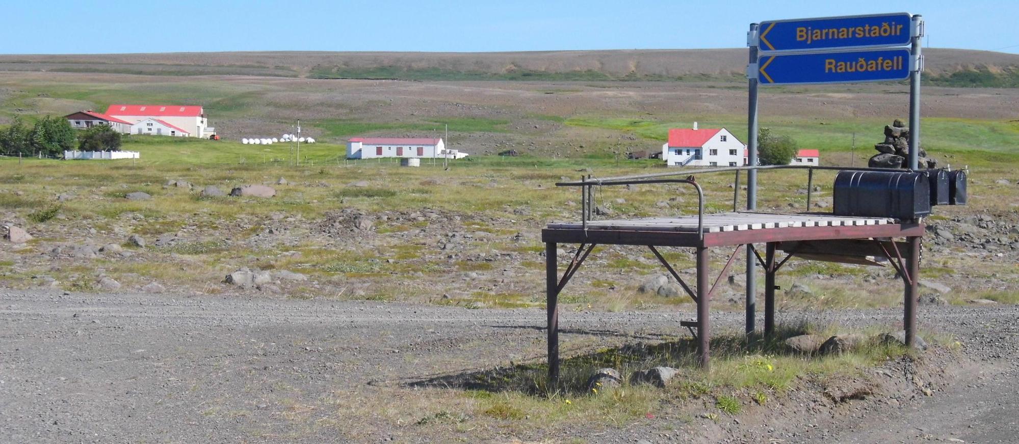
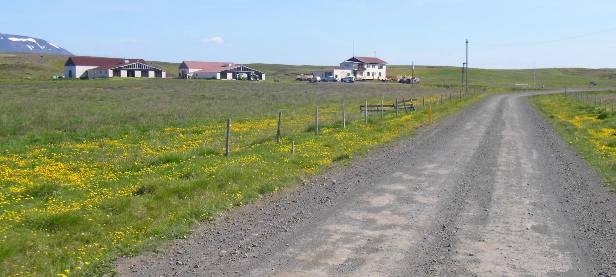
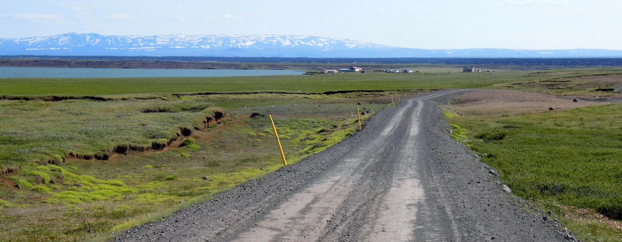
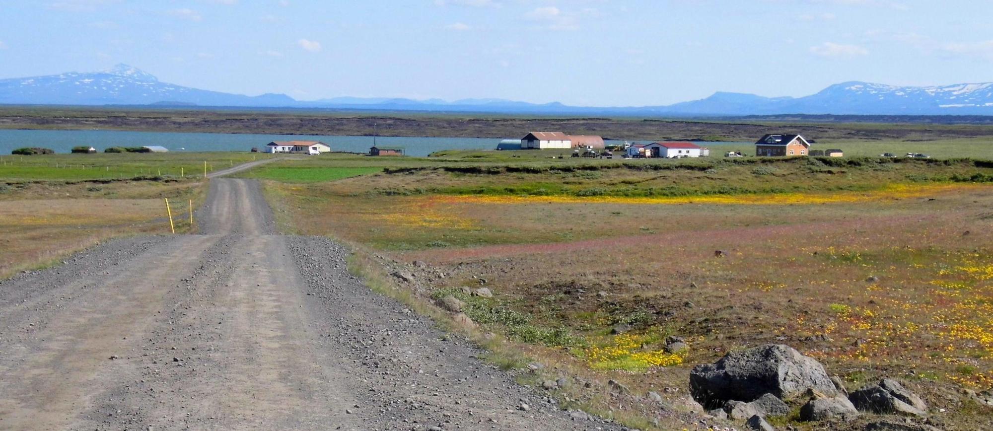
There was still a fair cover of wild glasses, butter-cups and dwarf willows. And I was surprised to have passed a few farms so far south into the wilderness. There was fencing and I passed over cattle-grids and there were sheep on the road. Then I approached a lake and the end of the road at Svartarkot, which was yet another farm on the lake shore. Soon, my heart sank when the road stopped in front of the farmhouse door without any sign of a track onward and nobody about whom I could ask. I turned back; then saw a track split off at the bend. This could be it I thought; then, rounding a lava outcrop revealed a seventies truck and tractor graveyard rusting in the elements, where Is attacked by lots of flies; then into a field of turnips. Not. I'm on private land.
There was an alternative. The track into Alderjarfoss on the Skalfandafjot river, the offcut I'd passed about eight kilometres back. This track, on the map anyhow continues on south to road F910, which could take me east to Askja.
The offcut was sealed grave; it went up and over a hill and descended the other side into a hollow with a big river ahead; which, I was going to get wet and cold fording. But, when the river came into sight, what a relieve to see that it was bridged. It was grassy to the side just before the steep run down to the bridge, and as it was after four, I lunched here, then, lay down using my bag as a pillow and slept.
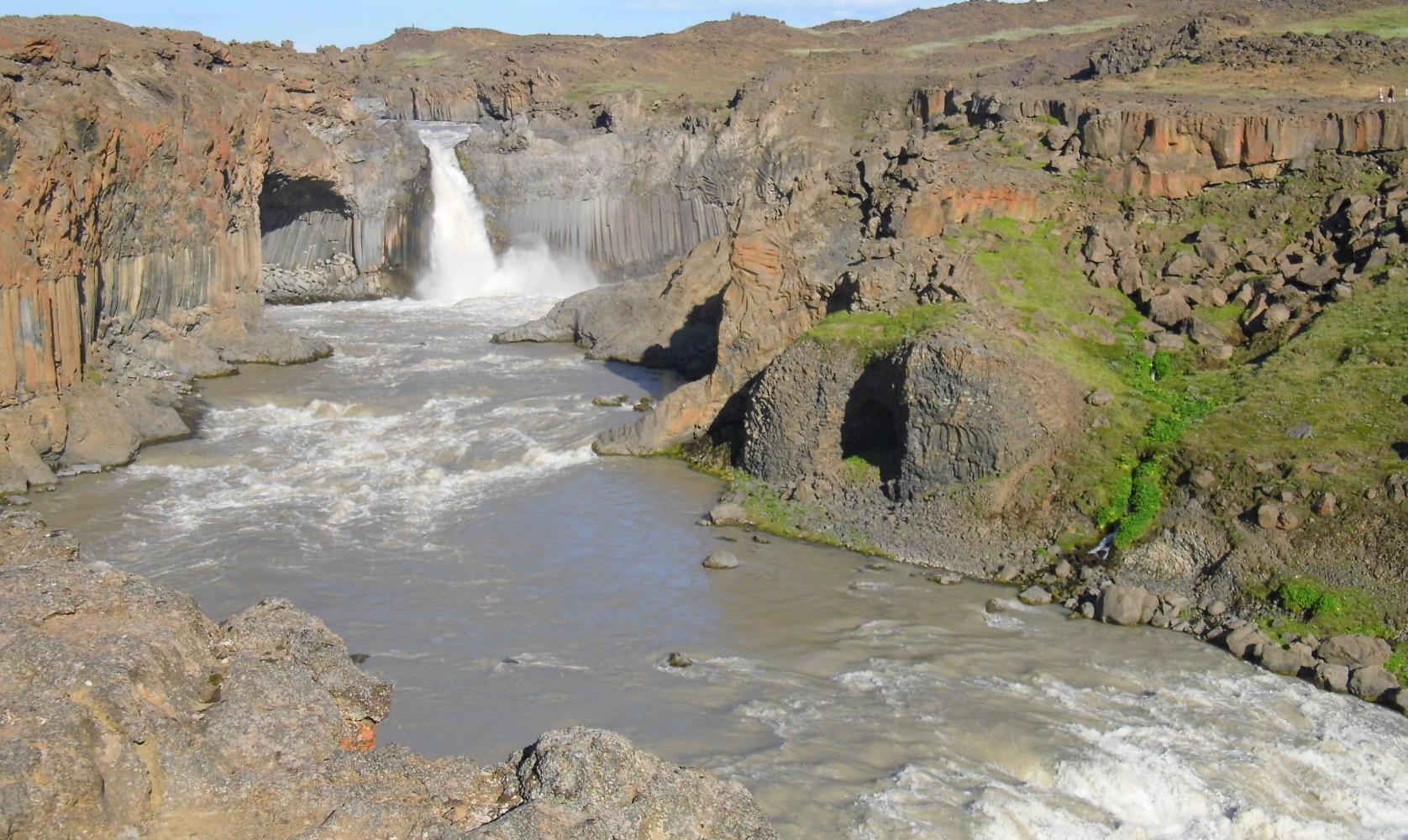
It was half five when Is riding again. On the other side of the bridge, the way passed through a rough spikey lava field. There were still some grasses and groundwater streams, but they were getting less. Eventually, I could take my bike no further and had to walk the remaining marked trail to the waterfall. The German cyclist described Alderjarfoss as the most beautiful waterfall in Iceland. I found it a pretty eerie place. I could hear it a good way off and not surprisingly as the full Skalfandafjot glacier river passes through a narrow gap and thunders down in one shoot into a deep canyon where the cement and brown coloured river bounces and surges along and onwards more than thirty metres below. Perhaps, I'm just afraid of heights. I could see a few sightseers on the opposite side, looking small on top of the burned cinder black and orange cliffs.
I walked back to the bike and returned to where I'd passed a turning which could only be the track continuing on south. It was deeply sunk wheel tracks so it had to be. But before long the condition of it deteriated to a covering of loose stones which rolled under my wheels. And before long Is pushing more than riding the bike; so, I decided to turn back.
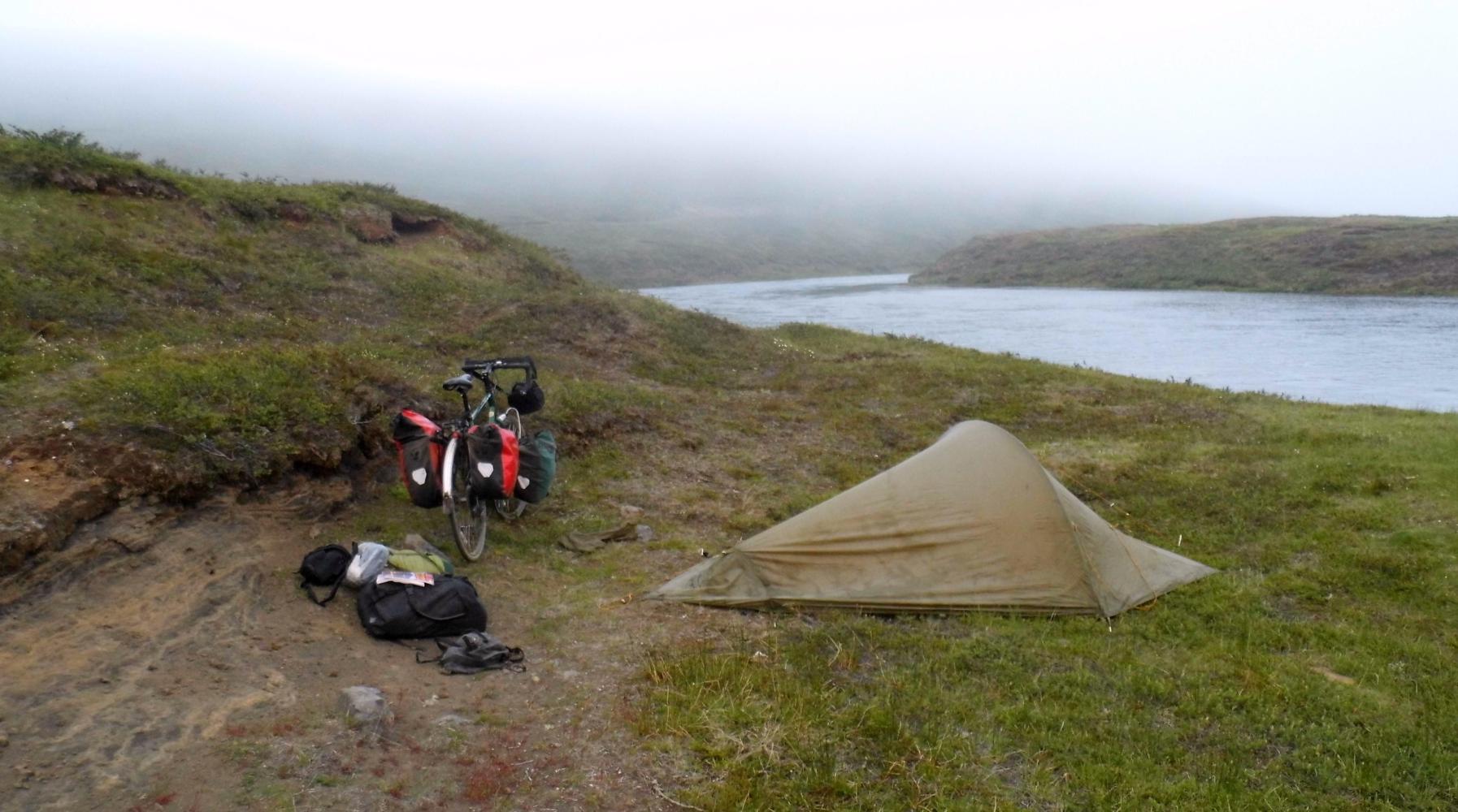
I decided to return to the riverbank where I'd lunched and there camp, which I reached just as the evening fog came in.
| Heart | 2 | Comment | 0 | Link |
| Heart | 1 | Comment | 0 | Link |
| Heart | 0 | Comment | 0 | Link |
| Heart | 0 | Comment | 0 | Link |
Today's ride: 69 km (43 miles)
Total: 3,156 km (1,960 miles)
| Rate this entry's writing | Heart | 2 |
| Comment on this entry | Comment | 0 |