April 8, 2014
In The Lozere: Atlier to near Nasbinals
No condensation inside the tent tells me its a grey morning even before I've unzipped the tent and looked out. Then I hear a patter of rain on the taut tent material, building to a steady drumming. It rains just enough to soak everything before easing off. And when I look out again, there's a thick bank of cloud lifting off the hill opposite and the sun is glimpsing through a break.
Breakfast is muesli with milk from the shop in Villefort; and its good to have milk in my tea.
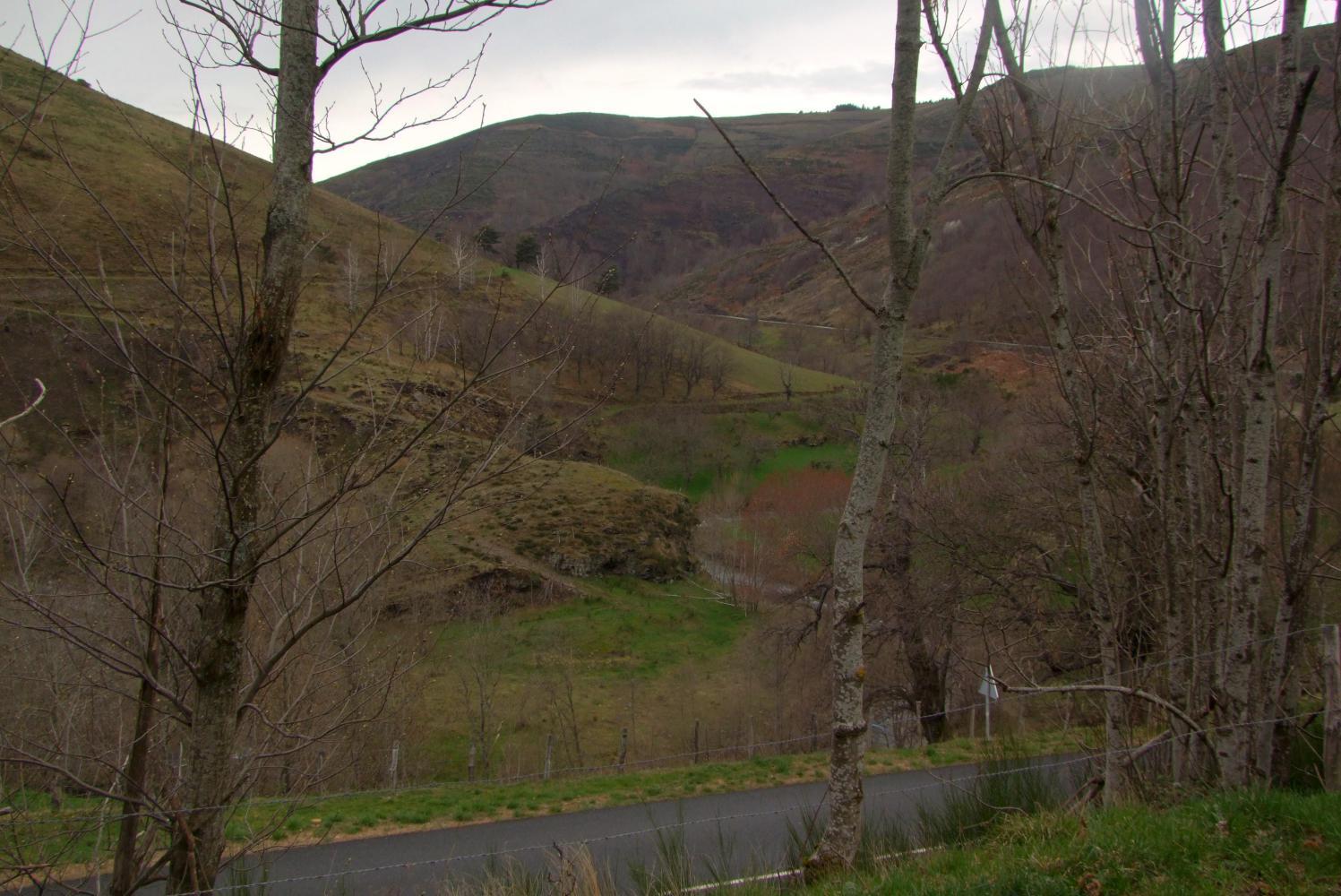
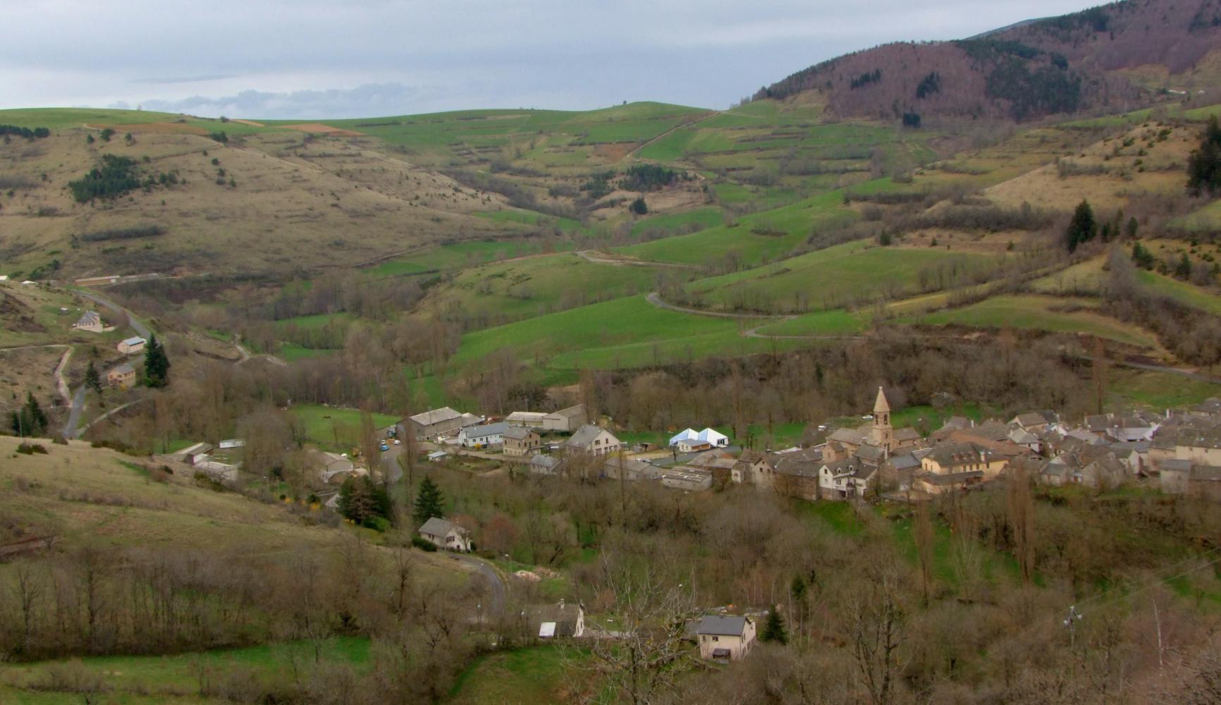
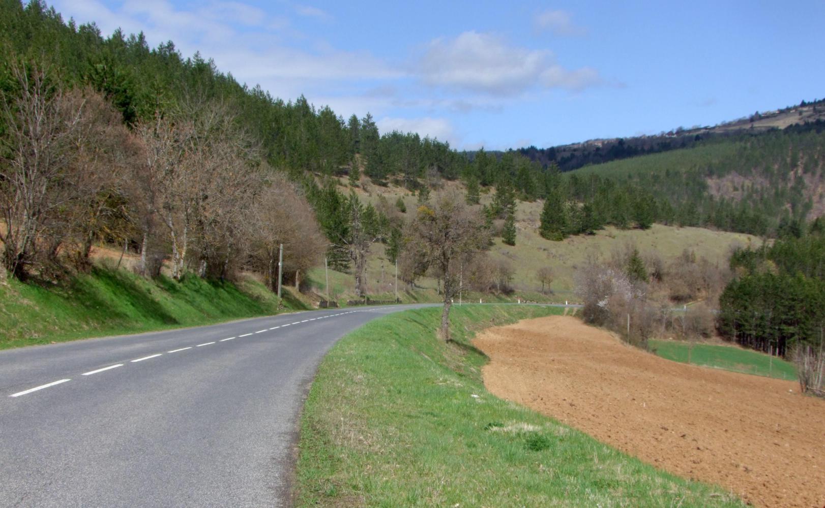
I've everything packed on the bike and get on the road for nine. Its a steady climb and soon, looking to the left, a stone built village comes into view below in the bottom of the valley and by-passed and seemingly forgotten by the modern world as I pass its only link, an access road splitting off down the hill. Then looking across at the opposite hillside, I see the line of an old road descending through the village. From this distance, it looks like many of the houses have been modernised and used as second homes by people whose primary home is in the city.
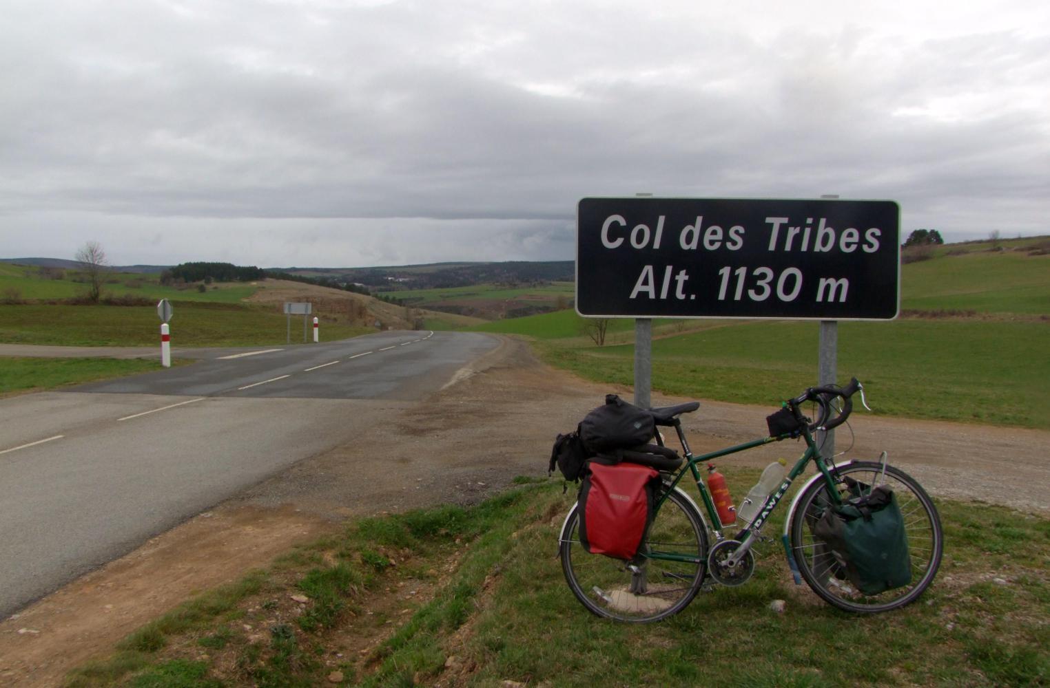
After about seven kilometres climbing, the road levels out on Col Du Tribes, at just over eleven-hundred metres. Then descends sharply to Bagnols Les Bains, another village of free-time homes, and an ultra modern town centre Carrefour stocking not only household needs but, maps, post cards with great panoramic shots of the region, and free Wi-Fi. Not only that, as out front underneath the canopy, there's a power socket. My computer battery is low, so I plug in and log on. I spend an hour charging; by which time, I'm getting cold in the sharp breeze blowing in and, I am glad to pack the computer away and get moving again. But riding on entails more descending, and a cold blustery wind had risen during the time I'd stopped. Sudden gusts catch me bringing me almost to a halt and generally, I have to pedal hard downhill.
| Heart | 0 | Comment | 0 | Link |
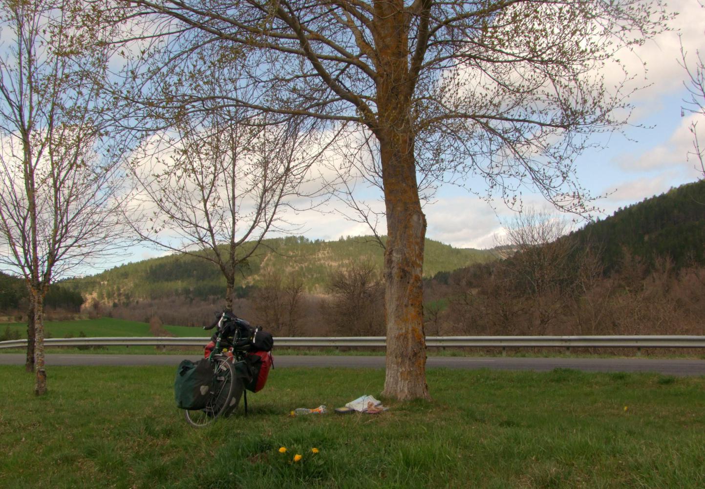
Lower down the wind abates and cloud breaks up with rays of sunshine and shadows as I stop to lunch on an island: a grassy strip left between old and new road after a recent road straightening scheme. I find the supermarche baguette is a poor substitute for that from the boulangerie.
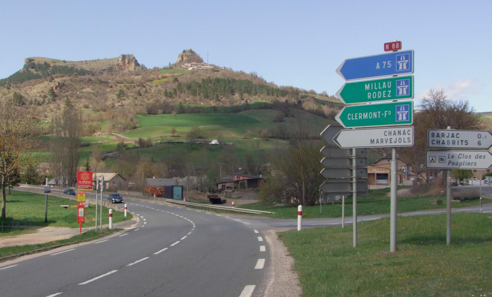
Onward I descend more, then climb a little to join the N88, where its a steady nine-kilometre descent into Mendes, a nice urban centre now the sun is shining; but I don't need anything, so keep following the "Toute Direction" signs, then signs for Marvejols.
A few kilometres out of town I pass on an upright-bike an old white haired man with bib corduroys and flat cap. Just then my rear tire feels as though it could do with some air; it looks to be running flat as the road drags up an incline and as I'm caught by a gust of wind, I stop. I'm pumping the rear wheel when the old man catches up. He stops too and speaks to me in a jovial manner, but I cannot make out a word what he is saying. I smile and nod. I cannot tell him I don't speak his language and hope he doesn't go on for long, as I'd like to be moving again.
| Heart | 0 | Comment | 0 | Link |
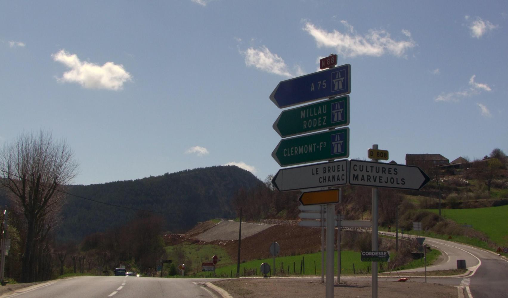
The turnoff for Marvejols on D900 begins with a long climb leaving the valley behind; eventually topping out on Col Du Veilburg, then descends to Marvejols, where I wheel the bike through the narrow street of the old old town, then shop at the supermarche, buying a few things I forgot earlier, followed by a snack of crisps and a can of beer.
| Heart | 0 | Comment | 0 | Link |
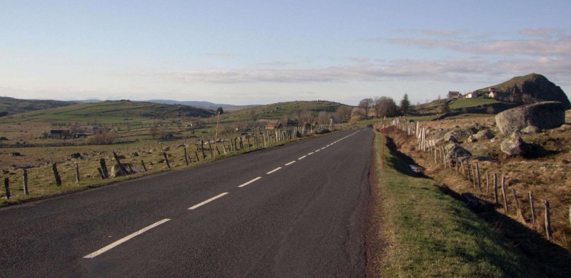
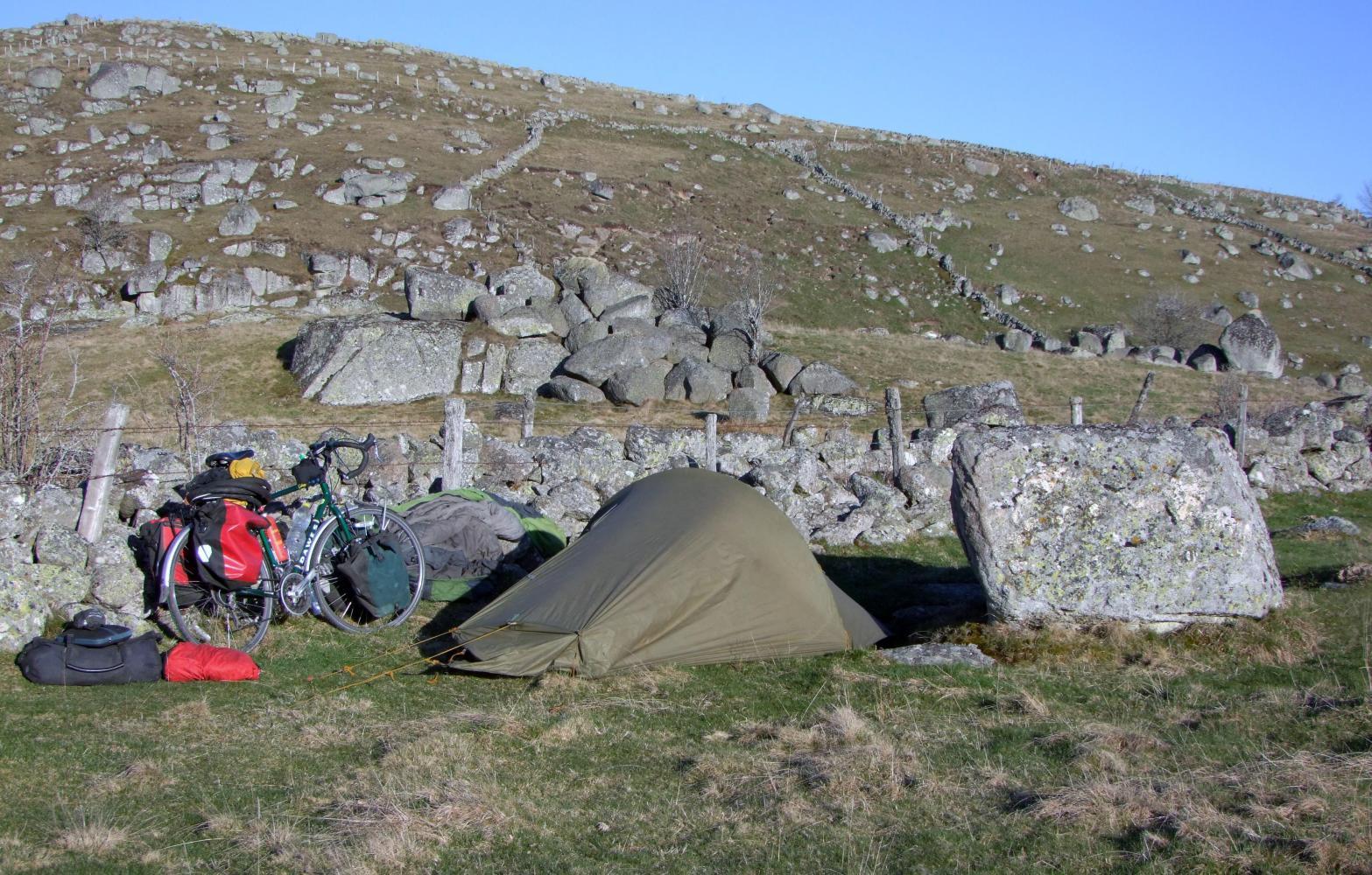
The climb away from town just goes on and on; every curve in the road reveals the road continuing its upwards progression. And the yellow topped kilometre markers soon show the altitude to be over twelve-hundred metres. Here I'm upon a high plateau when the road levels out with no sign of descending to lower ground to camp. The land to the side is treeless, except for the occasional pine-tree windbreak and is rough pasture with rock outcrops and field divisions are dry stone walls. I turn off along a disused laneway, not wide enough for modern use, just wide enough to push the bike between the low thorns that grown in the shelter of the walls. I crest a little rise so I'm out of sight of the road, then turn in through a narrow gateway and a bit along the wall, I find what is a good enough place to camp with the stone wall to sit against as I cook my usual pasta supper.
Today's ride: 88 km (55 miles)
Total: 13,681 km (8,496 miles)
| Rate this entry's writing | Heart | 2 |
| Comment on this entry | Comment | 0 |