June 13, 2017
Day Seventy Eight: Domfront to Clecy
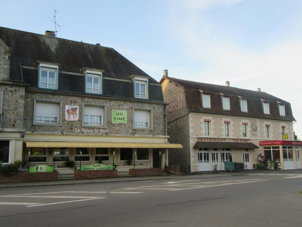
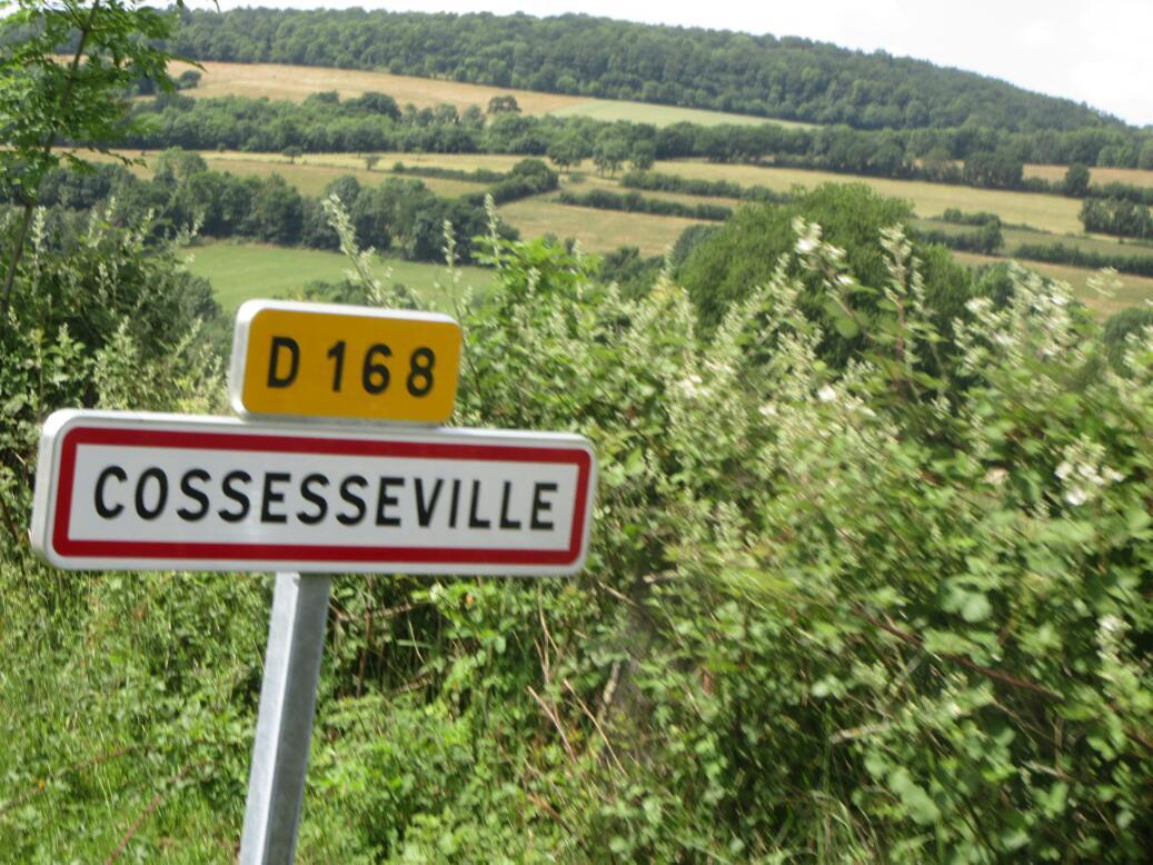
The heavy trucks roared by all night. But that's just the way of it in Domfront. The main hotel here is at the junction of D976 and D907. It's just a junction kind of town, which of course is why we too are here.
We crossed over those D roads and did find the bike path, where the Tourist Information lady said it would be. Too bad the missing signage did not let us know that a lot earlier!
Also as the lady had protested, 1/2 km down the path was a signed turnoff for a safe way up the hill to the TI and the old town. Again, now they tell us!
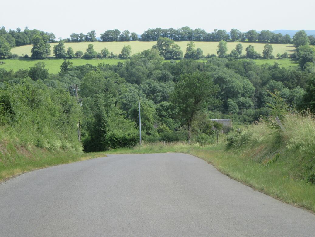
The path itself is a rail trail as it leads north from Domfront in the direction of Flers. It continues for 20 kms in standard rail trail mode - fine gravel path, gently rising and falling, and surrounded by trees. The only excitement here was the appearance at one point of a small herd of goats. It was not clear if they were wild or tame, but certainly they had no fear of us, and I had to ride through a billy to clear him away.

| Heart | 0 | Comment | 0 | Link |
The trail ended at a point where we had to choose one of two alternatives for the next 30 km. We could keep east to reach Pont d'Ouilly or we could take a slightly longer westerly route to the same end point. We knew we were approachiing a hilly area called Swiss Normandy, and we were leery about which route might hit it first, or be it. We chose east, just because that was shorter in total length, at 27 km.
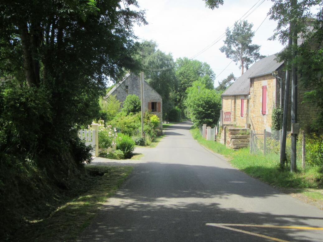
What followed was a route with ups and downs, but nothing that was going to stop or exhaust us unduly. Even better, thre were some actual towns along the way to look at, and all with attractive stone buildings and flowers all over.
The best village was La Canneille. This had an open bakery, which jumps its rating immensely. And there was a small grocery! But the town also had some steep streets of those same stone houses and many flowers. One super steep street, rising from a deep depression that housed a tannery was the street of jews. An info panel pointed out that the town was Christianized in the 4th century, but that since the 9th century it has housed an ethnically diverse population. Other than jews, they mention Celtic and "Callic".

| Heart | 0 | Comment | 0 | Link |

| Heart | 0 | Comment | 0 | Link |

| Heart | 0 | Comment | 0 | Link |
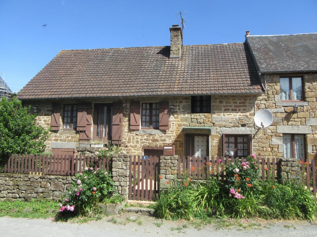
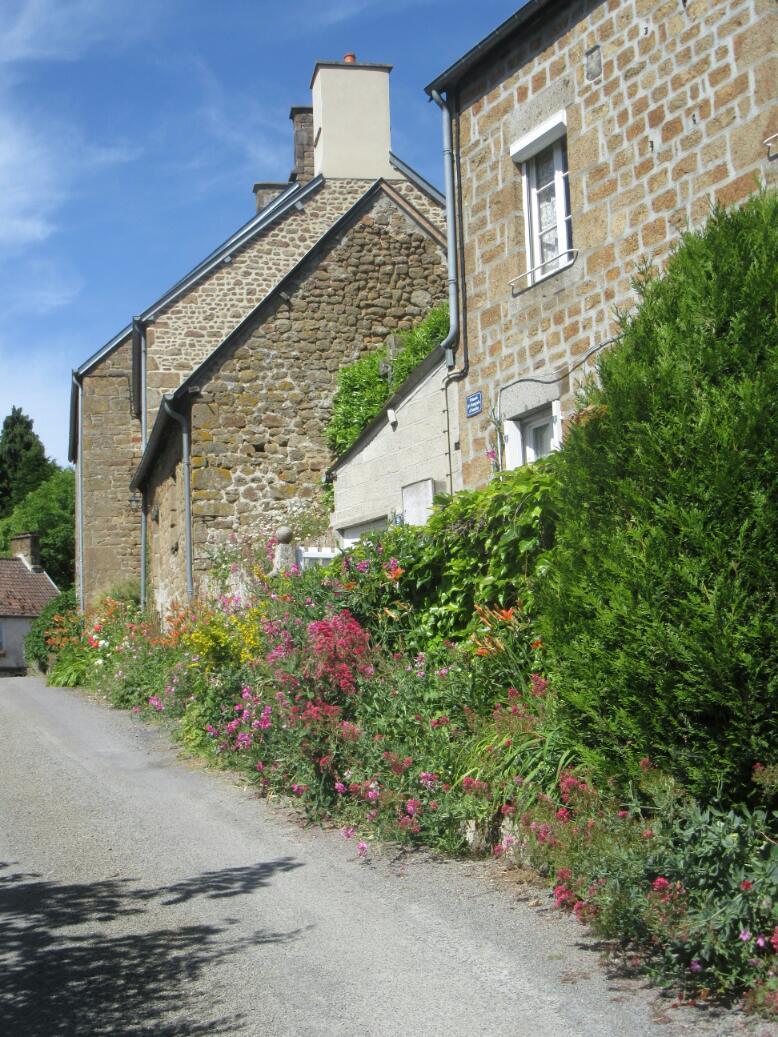
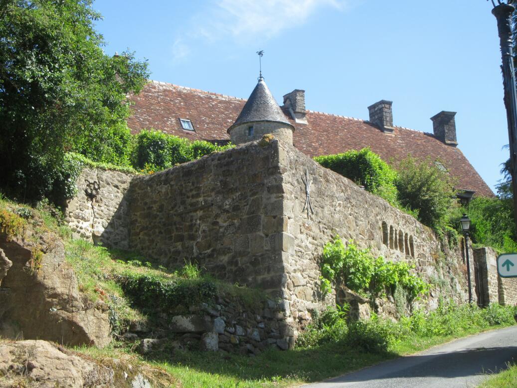
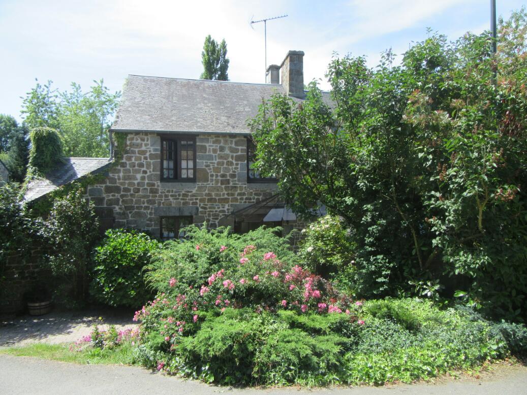
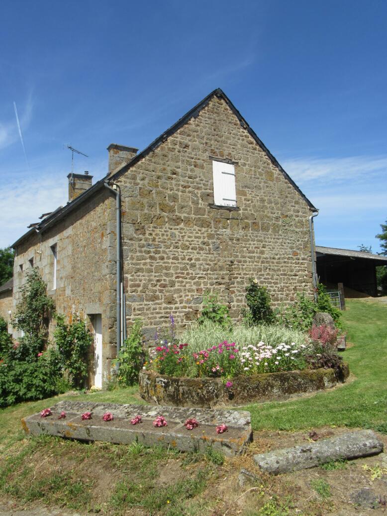
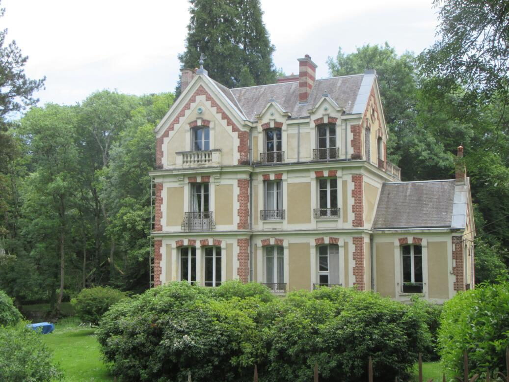
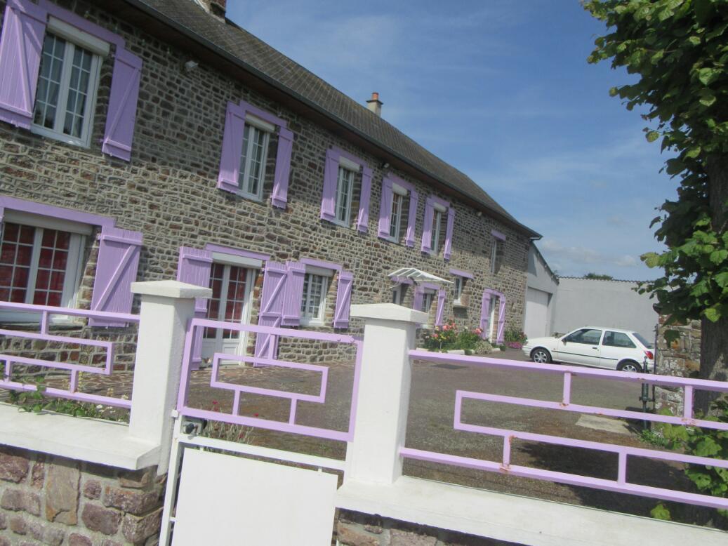
So many houses in this regions are eye catching.
Here are six worth looking at:
We were starting to congratulate ourselves when we reached the spot where the east and west routes rejoined, feeling we had maybe one the Swiss Normandy quite handily. Foolish. My map was from the Department of Orne. Characteristically it does not care about anything in neighbouring territories. Swiss Normandy is a couple of km north of where the map cut out, in the Department of Calvados.
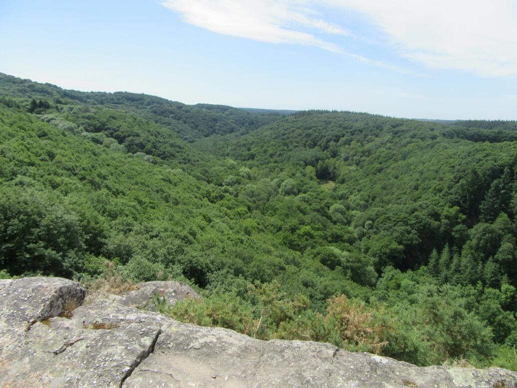
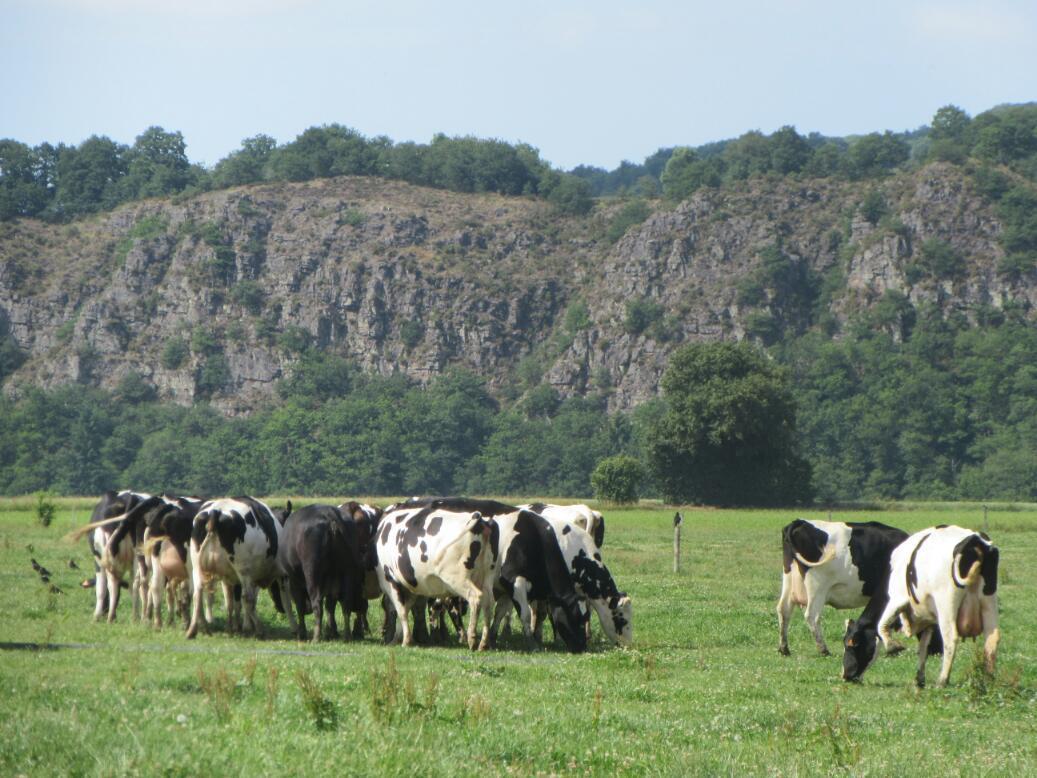
The whole Swiss Normandy thing stems from an area where the Orne River (which also does run through Orne, of course) has carved some deep valleys and left behind steep cliffs, while meandering around to affect a respectable area. The tourist map outlines a car route around the thing, and it seems that encompasses a good bit of it. In the photo, the green outline is the car route.
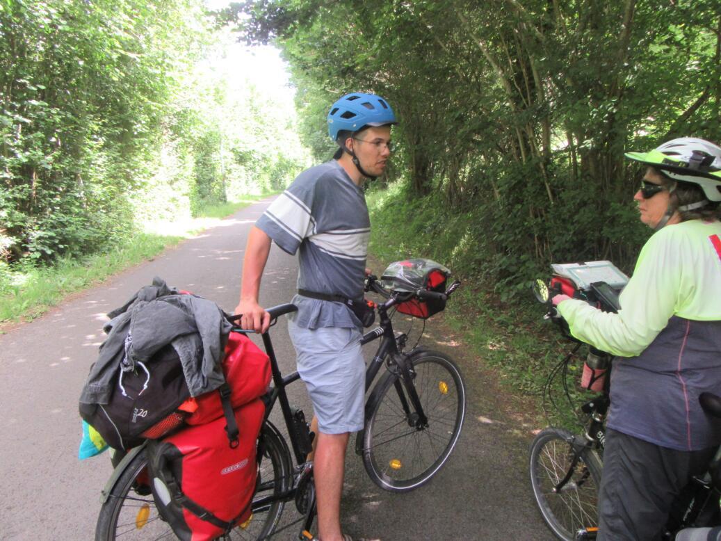
We did actually begin climbing before being inside the green line. On one of the "warm up" hills, one cyclist from South caught up with us and stopped to chat. We did not get the young man's name, but he was from Nantes. His plan was to hit the Atlantic and go back down via Brittany to Nantes. There he would regroup and set off by bike again to do the Camino del Norte. Following that his sights were set on Italy and points east! At this stage in our trip, just thinking of that itinerary made me tired!
The young man had a lot of stuff piled on the back of his bike and no front bags. We tried to convince him to get some and balance the load. He did admit to the front wheel lifting on some steep uphills. As always, and not withstanding the comment on the tiring itinerary, it was great to share another cyclist's plans and trip. We said Buen Camino, and the young man zoomed on up the hill ahead of us.
The first bit of Swiss Normany we hit was called Roche d'Oetre. This is a point where we have climbed up the back of a cliff, and the cliff face alls off beside us to the left. The cliff face area seems to support some form of zip line activity, plus there is a restaurant and a picnic area. We chose this as a place to eat lunch. We were approached there by a couple from Rennes who had trained to Caen and were cycling to Saumur. These were Veronique and Guy. who not only are cyclists but who have written "Sea Kayaking Guide Brittany: 60 Paddles". We tried to tell them what we knew of sea kayaking off Vancouver Island's west coast, where it is a very big activity. Again, lots of fun to talk with fellow "sportspeople".

| Heart | 1 | Comment | 0 | Link |

| Heart | 0 | Comment | 0 | Link |
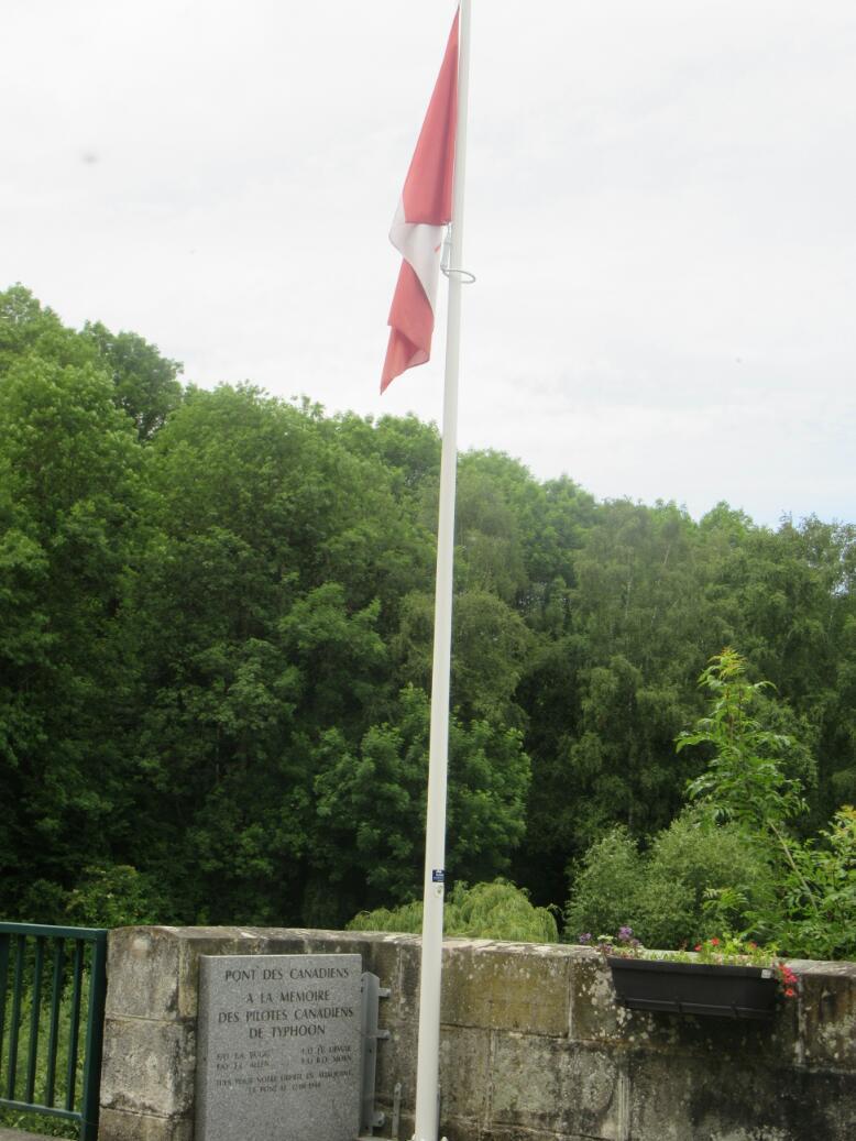
Our guidebook told us we were approaching le Pont des Canadiens. But before we reached it, dropped or confusing signs sent us astray. No matter, everyone knows this landmark and a man soon put us on our way.
It produced a bit of a chill to suddenly see our flag by a bridge on the Orne. The plaque there did not tell much of the story, only that four aviators had been killed during the liberation of the town nearby. A newspaper account also says that the flag had been restored in 2016, when a random Canadian passed by and found it in disrepair.

| Heart | 0 | Comment | 0 | Link |
We had not known what "Roche d'Oetre" was in advance of arriving there, and had had various theories. This exemplifies our ignorance about the region here.
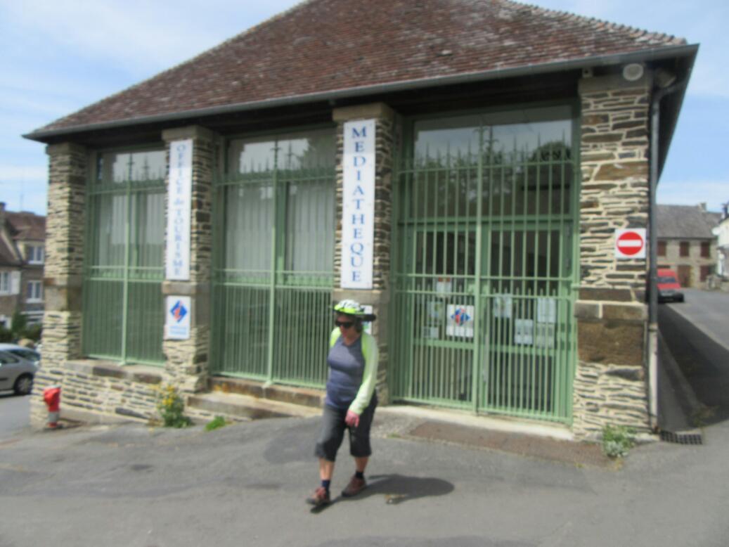
We were still in blissful ignorance as we rolled in to Pont d'Oilly. We found the Tourist Information closed (only opens on certain days and hours, so be sure to need them then) and of the two hotels nearby one was too expensive and one was closed until 5:30 p.m. So we just left town, in the direction of Clecy.
| Heart | 0 | Comment | 0 | Link |
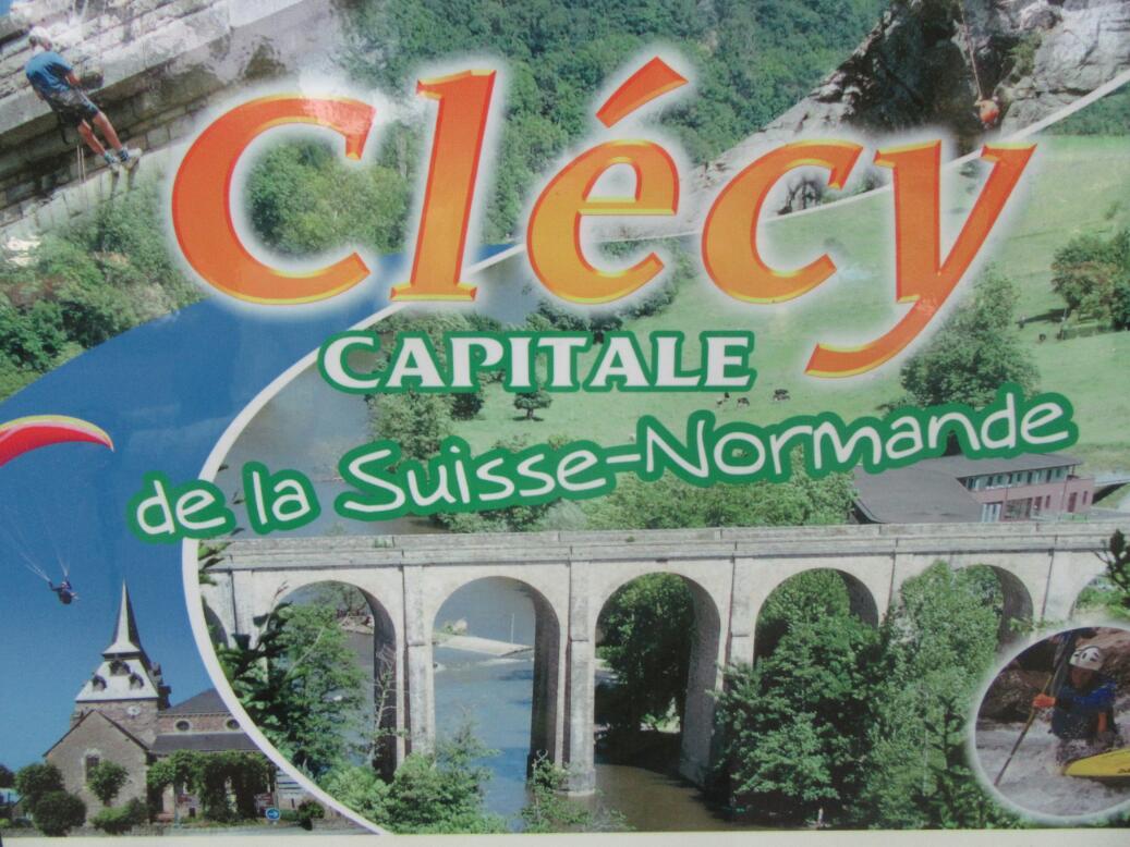
So it turns out Clecy is the "Capital" of Swiss Normandy and is in the middle of it. That made for steeper, longer hills than we had been dealing with so far. "Well" I quipped, "We might as well get totally exhausted now, rather than waste our freshness on this tomorrow morning". Normally that should have earned me a verbal dressing down, but this time Dodie agreed with me. In fact, she was pedalling really well, This allowed me to add "We've been trained in Spain. Afte that these hills are not so scary". Dodie agreed wth that too.
Carrying the Spain comparison one step further, the countryside was not really reminiscent of Switzerland. But maybe it looked a little like Galicia. Truly, though, nowhere near as hilly.
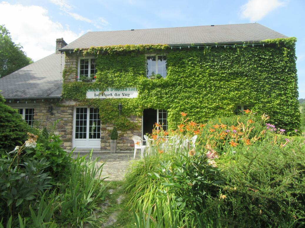
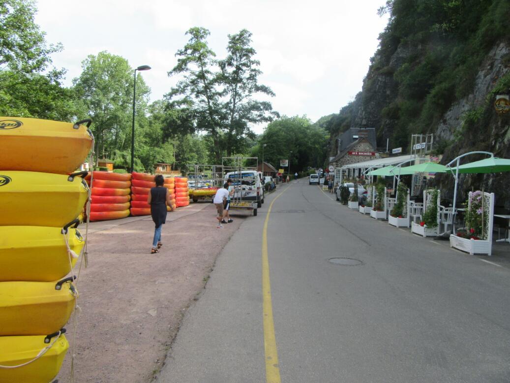
We came to Clecy by maybe a back way, not entering the town at all but running first into a nearby restaurant, kayaking, walking, ice cream play land along the Orne. At the bridge where the play area begins (the Pont du Vey) stands a beautiful house containing a chambres d'hote. This has four rooms, and we nabbed the last one. Because of this we never went to the actual town, and tomorrow our route will take us away from it.
We walked back to one of the playland restaurants, which we liked especially for a sign advertising service at all hours. Then at 5:30 p.m. as the only clients in the place we got a salad with deep friend Camembert balls, chicken breast in mushroom sauce, with home made fries, and crepe with caramel sauce and ice cream. All this really hit the spot after the hilly day.
Tomorrow figures to be hilly too, but we will reach Caen, the gateway to the D-Day beach towns. Juno Beach, where the Canadians landed, is our main objective on this "pilgrimage". We will make an early start (we cruelly have the lady set to go out at 6:30 in search of bread for breakfast) and see how far we get.

| Heart | 0 | Comment | 0 | Link |
| Heart | 0 | Comment | 0 | Link |

| Heart | 1 | Comment | 0 | Link |

| Heart | 0 | Comment | 0 | Link |
Today's ride: 63 km (39 miles)
Total: 3,832 km (2,380 miles)
| Rate this entry's writing | Heart | 1 |
| Comment on this entry | Comment | 0 |