July 31, 2025
Day 25 - ending near Blanding, IL
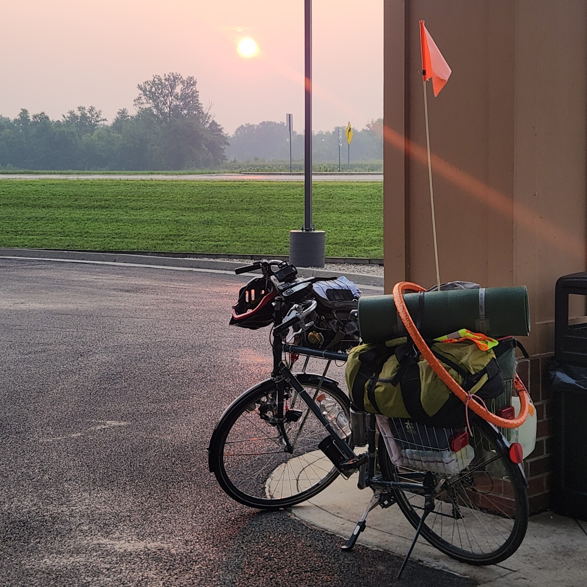
I was up at 4:57am, and had the bicycle outside ready to go at 6:27am. What a different day today is - nice and cool. I think the rain's over with. It is hazy out though and I think that's due to smoke blowing in from wildfires to the north. I went back into the motel to eat breakfast, then checked out. The clerk couldn't find my name in the system, so she took my email address to send me a receipt later.
I was on my way at 7:23am. A ride through the nextdoor Shell gas station lot got me to the trail on the east side of Fulton. My destination today is Blanding Landing Recreation Area west and little north of Hanover. This trail would get me to Savanna. After that I'm going to ride, or try to ride, on IL-84.
What a beautiful morning to be out riding! I turned on my radio and found station WCCI at 100.3MHz. One of the first things I heard was at 9:00am in Savanna it was 66F. Later I found out this is a Savanna radio station. What interested me was they were giving local, small town news in their segments Community Calendar, Trading Post, and Mail Bag. I did hear that there is a fair going on this weekend in Warren, which is the next town over from Apple River, where I hope to stay at another Hipcamp site. I haven't made reservations yet; they may be booked.
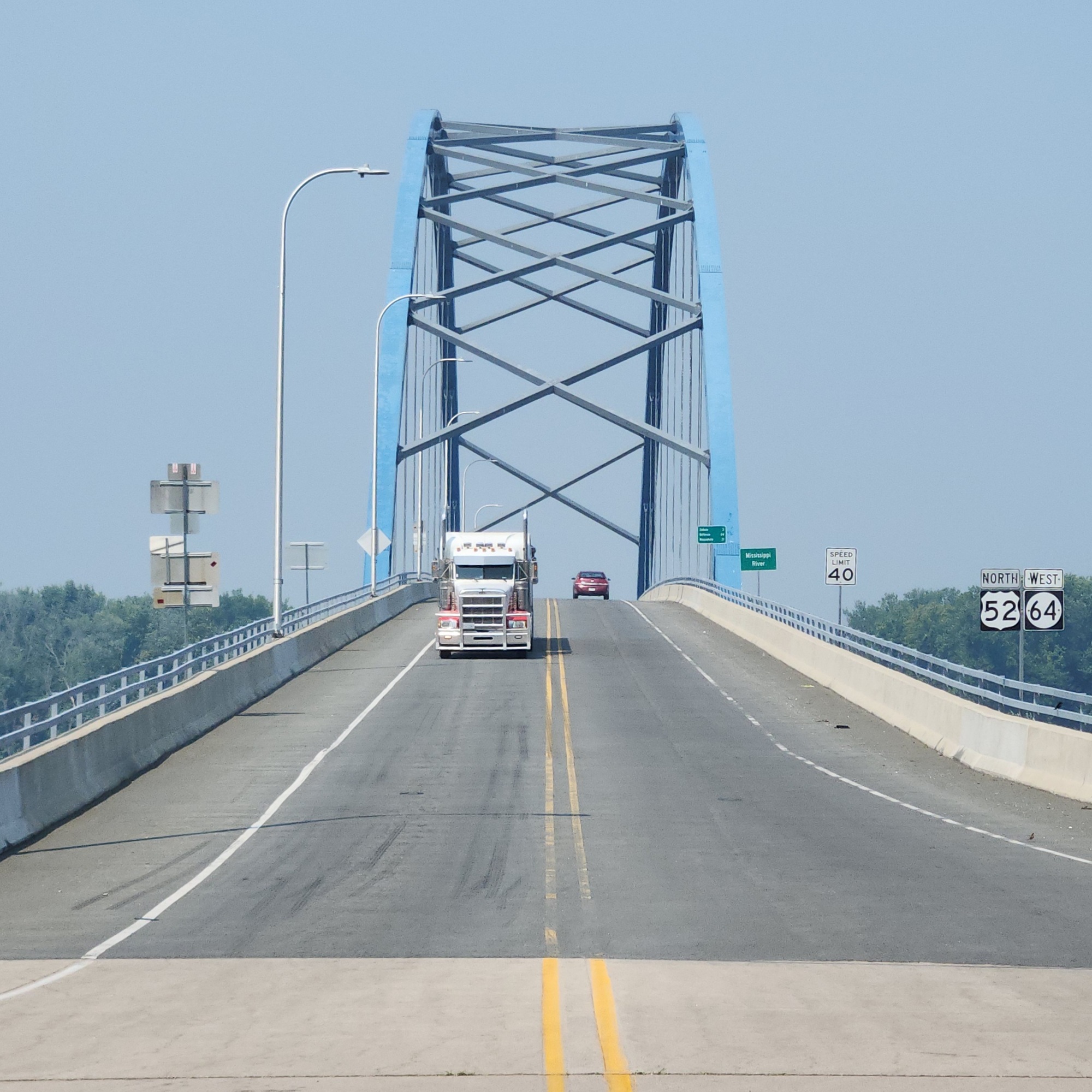
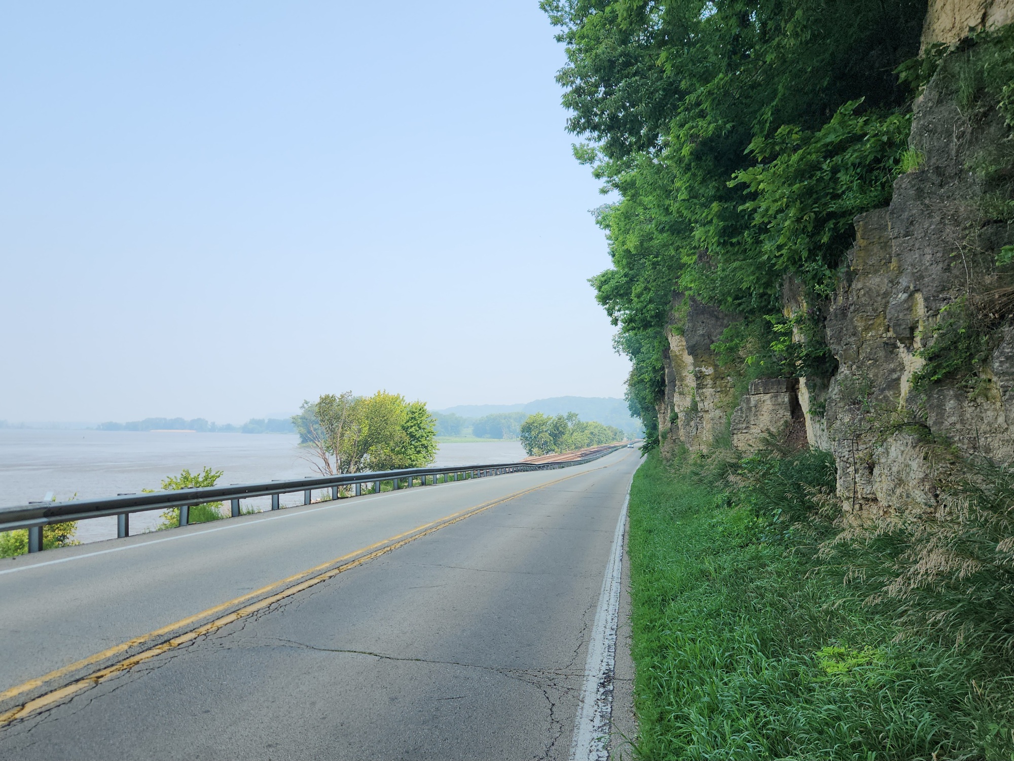
I passed Big Slough Recreation Area at 9:10am, and was at Ingersoll Wetlands Learning Center at 9:26am. I went in to take a quick look. At 10:33am I arrived at the end of The Great River Trail at the south end of Savanna. After a few pictures of downtown, I got on highway IL-84. Parts of it had some shoulder, and other areas none. Traffic wasn't heavy this time is day, but I decided to put on my safety vest. I was pulling over once in awhile, but not too often.
I crossed into Jo Daviess County at 11:54am. Four minutes later I stopped at the intersection with Rush Road to check the noon mileage: 27 miles. I also rechecked my route to get to Blanding Landing. I had planned to stay on IL-84 through Hanover, but Google Maps indicated there was a flatter way to go - using Whitton Road. So at 12:18pm I made that turn.
Whitton Road is gravel mostly, but is in good shape for bicycling. I only had 12 more miles to go, so was taking my time. There are a few hills I had to walk up, but nothing that got me sweating.
I arrived at the campground at 2:40pm. There are seven tent camping spots for $14, and also sites with electricity for $24. I decided to go without electricity at tent site #7. This is a Corps of Engineers campground, so reservations have to be made before or when you get here. I made mine using my phone.
The next thing I did, and I spent an hour doing it, was figuring out about tomorrow night's stay. Sure enough, the Hipcamp I was planning to stay at is full. I did a lot of campground searching and figuring miles. I haven't quite got it figured out yet, but I'll let you know when I do.
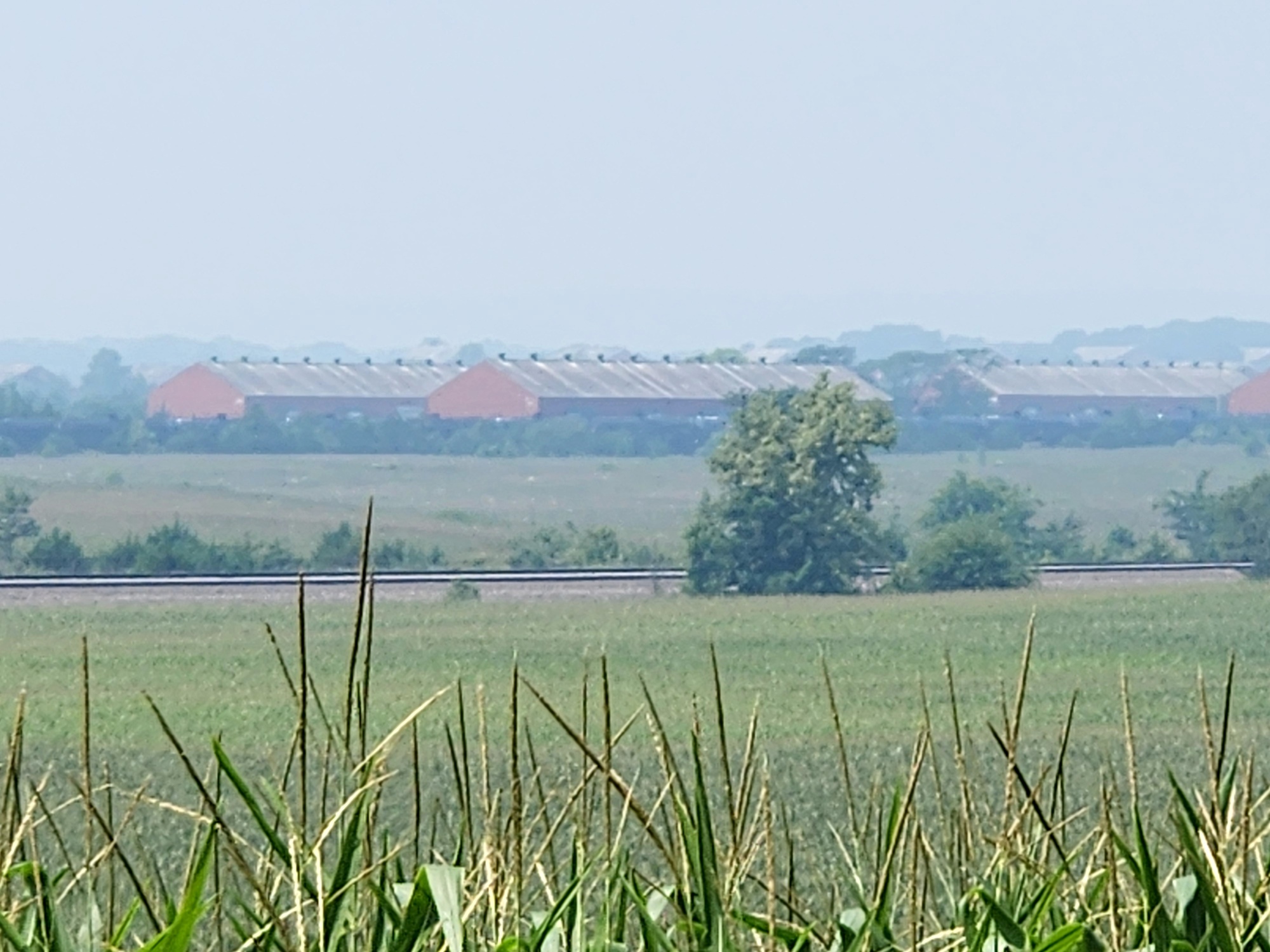
I finally set up camp, then ate supper. Picture selection was next, and that took a while. When the 8:00pm alarm went off to remind me to take my evening pills, I realized it was very close to sunset and I almost missed that. The sunset looked good, but you can't see that on the picture. I was having trouble today with far away pictures. The smoke in the air makes everything far away hazy.
There's double mainline train tracks right at the entrance to the campground. I read in the reviews that they keep some people from getting any sleep. I'm not sure I'll be bothered by it, but we'll see. It sure is cooling off. I hope I can stay warm enough tonight. That's certainly a different concern!
Jeff
| Heart | 1 | Comment | 0 | Link |


| Heart | 3 | Comment | 1 | Link |
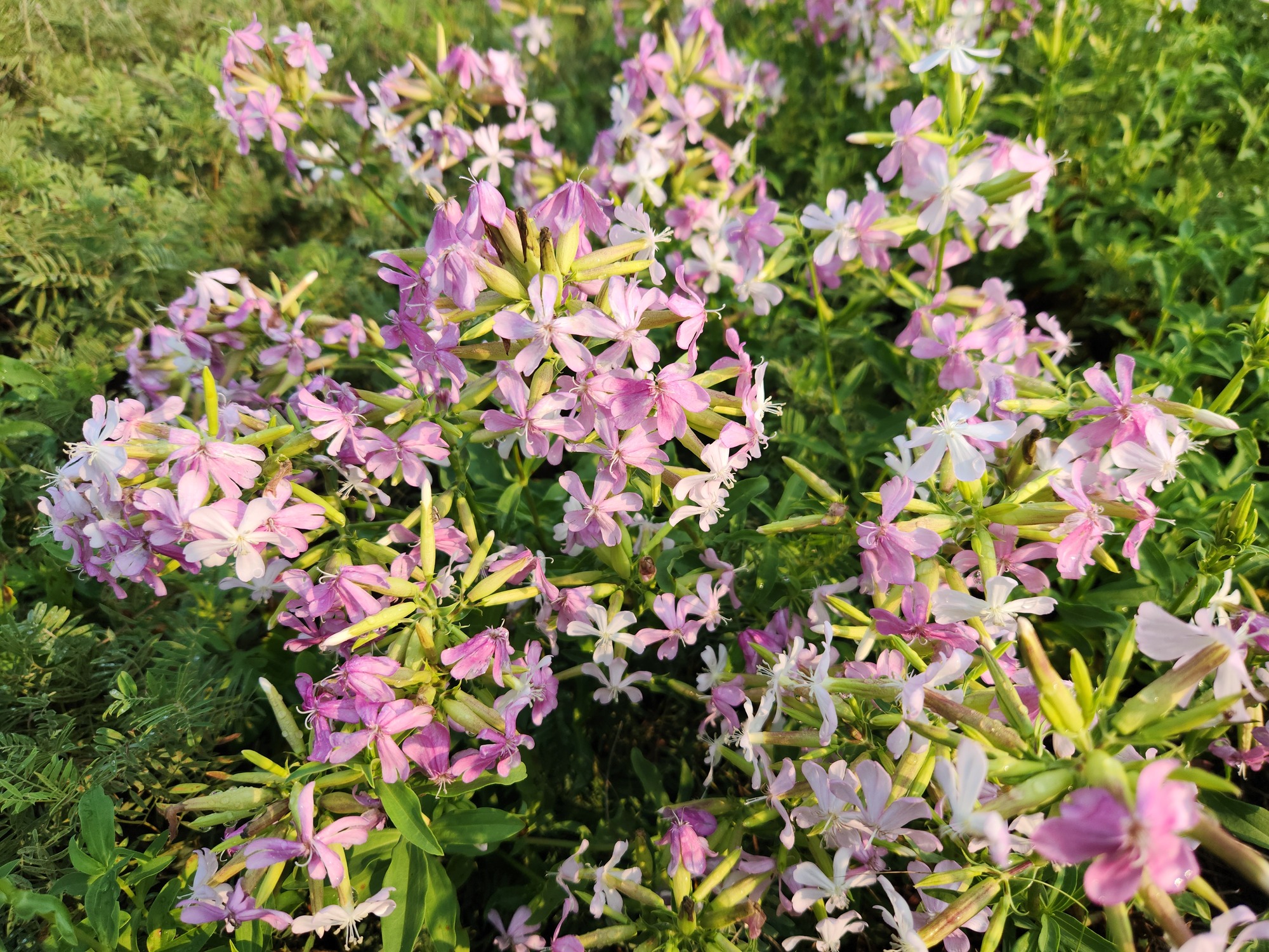
https://www.inaturalist.org/taxa/204246-Atocion-armeria
2 weeks ago


| Heart | 4 | Comment | 1 | Link |
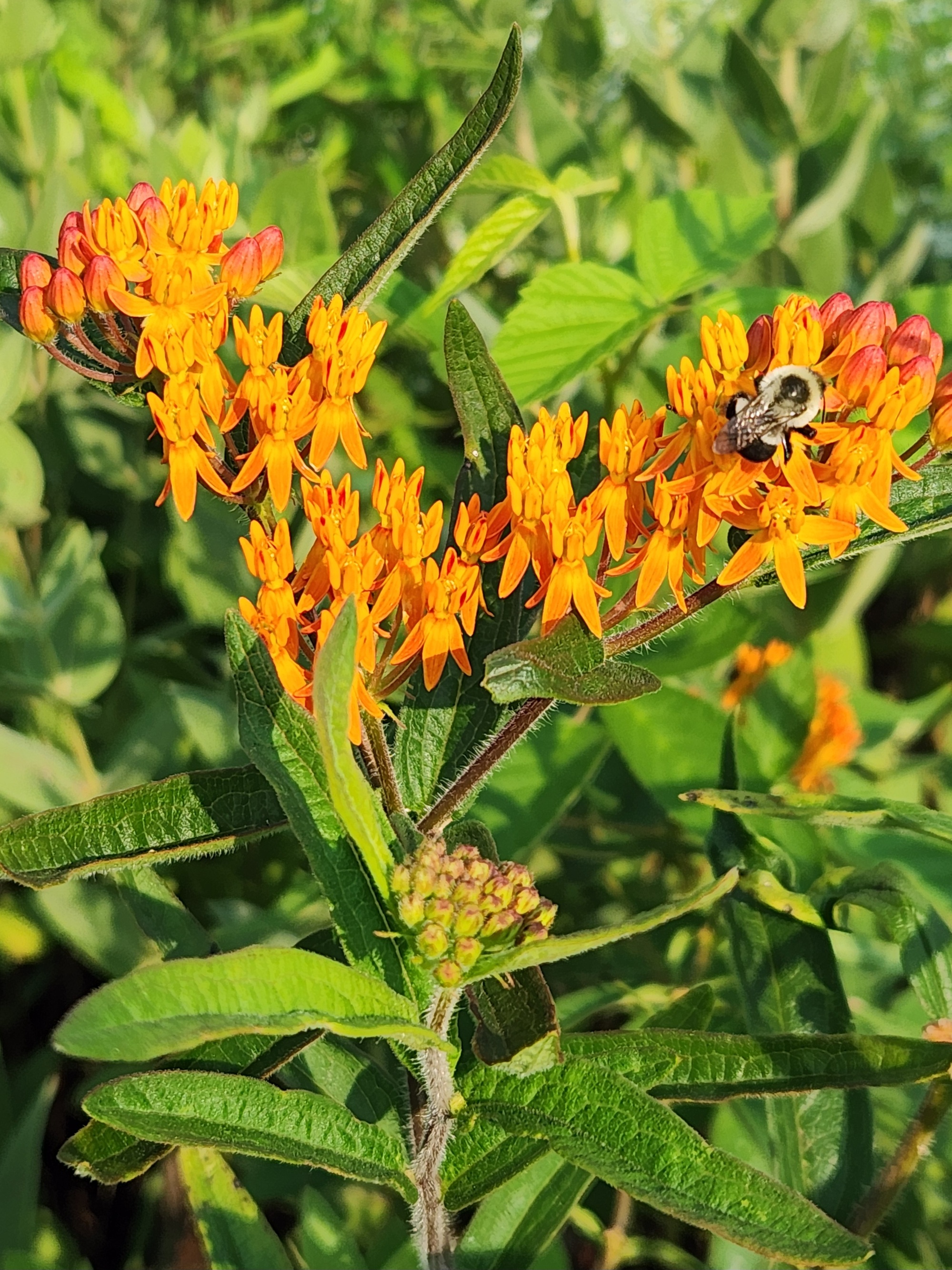
https://en.wikipedia.org/wiki/Asclepias_tuberosa
2 weeks ago


| Heart | 2 | Comment | 1 | Link |
2 weeks ago

| Heart | 2 | Comment | 1 | Link |
2 weeks ago


| Heart | 1 | Comment | 4 | Link |
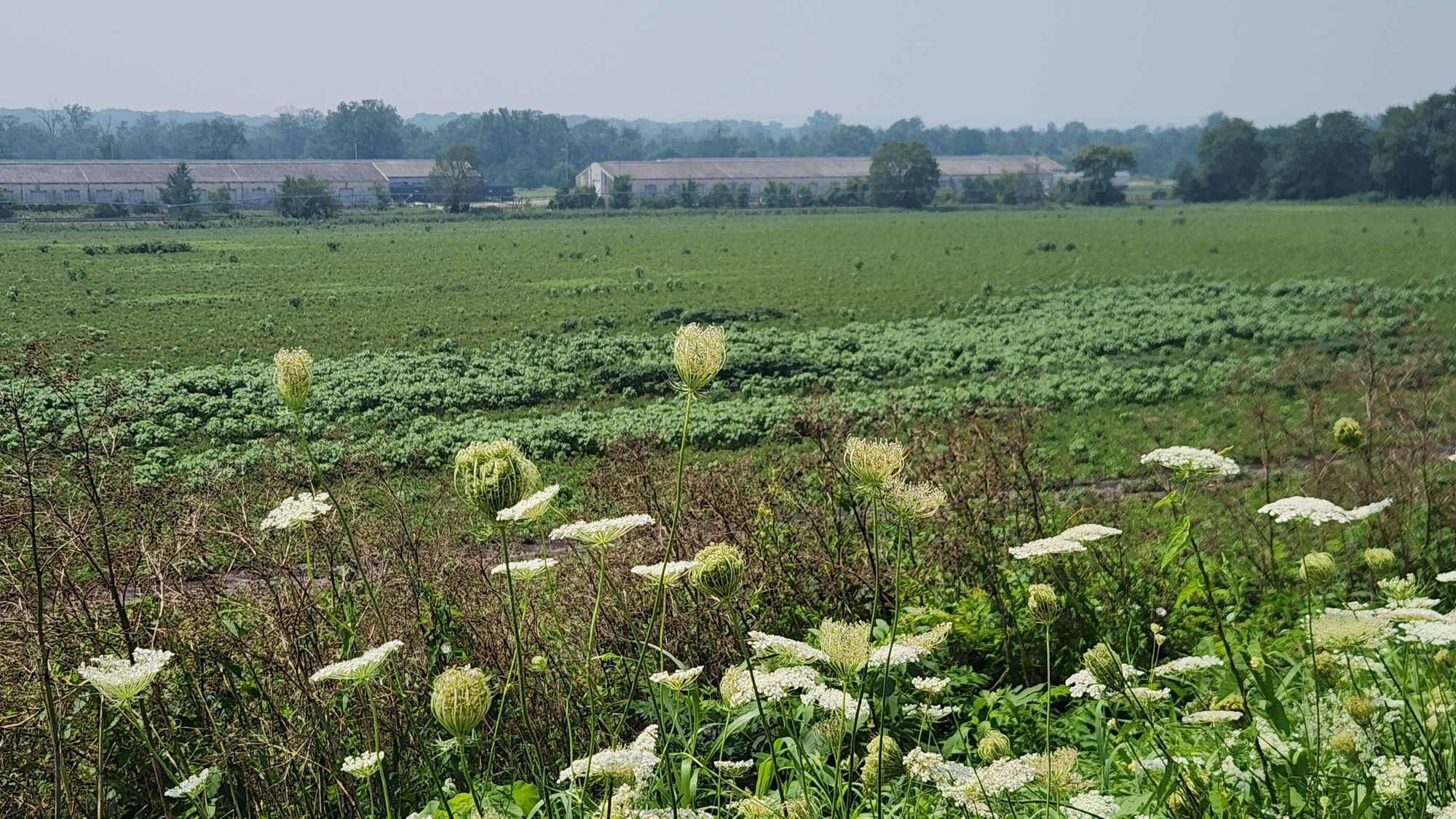
https://en.wikipedia.org/wiki/Daucus_carota
2 weeks ago
2 weeks ago

| Heart | 0 | Comment | 1 | Link |
2 weeks ago
| Heart | 5 | Comment | 1 | Link |
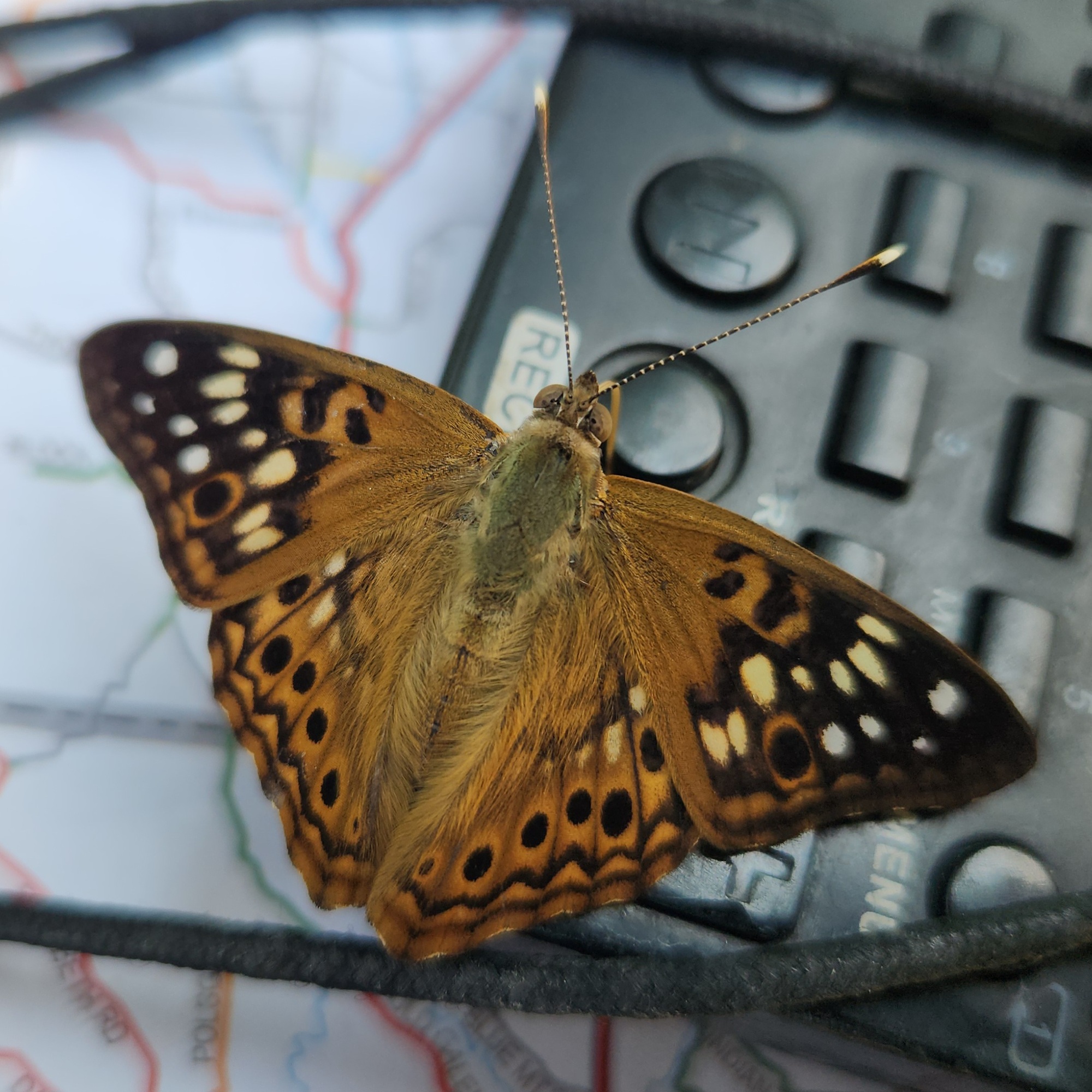
https://www.inaturalist.org/taxa/68264-Asterocampa-celtis
2 weeks ago


Today's ride: 39 miles (63 km)
Total: 1,015 miles (1,633 km)
| Rate this entry's writing | Heart | 5 |
| Comment on this entry | Comment | 1 |
2 weeks ago