July 7, 2011
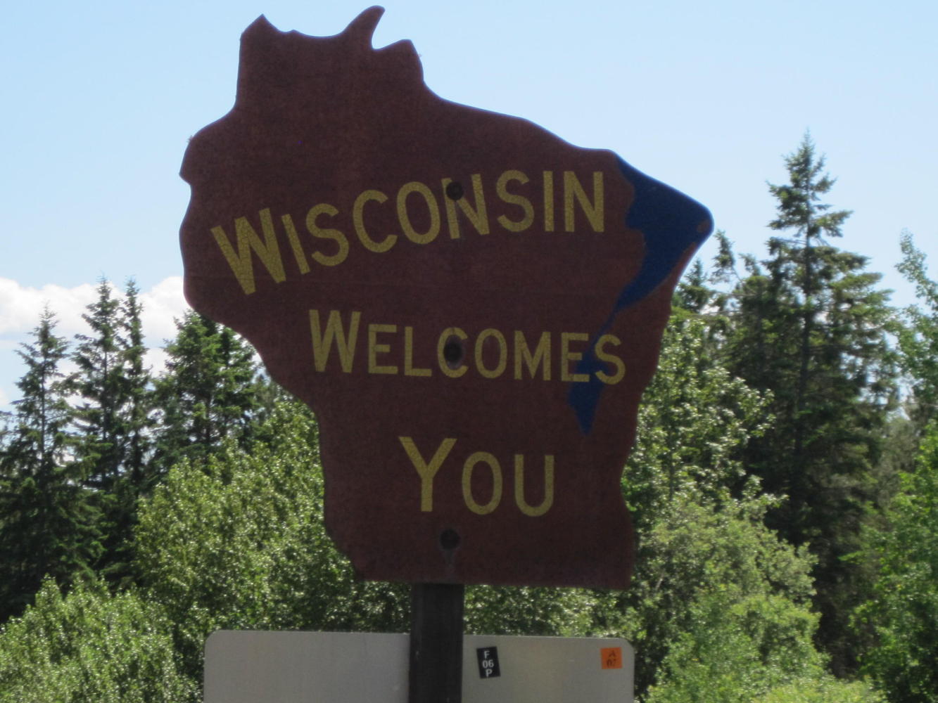
Day 68 Duluth, Minnesota to Port Wing, Wisconsin: The Land of Joni's Birth
Preface: Sometime last century two university students popped out a baby girl at the University Hospital in Madison, Wisconsin. They liked her a lot, and named her after their facvourite singer - Joni! The man went downtown and handed out cigars to everyone. Then they packed her into a suitcase (or equivalent) and beat it back to Canada - never to return. Until now. Here we are back in Wisconsin
The first challenge of our day was to get out of Duluth. But before that, finding some coffee would be a good idea. We slowed opposite a free standing espresso shop, just sort of thinking about it. That was enough for a fellow to materialize out of the pavement and holler 'Canada!'. He came over and we learned that he was from Texas. He had been laid off as a drywaller and came up here to stay with his brother. He repeated what did not seem to be his own analysis of his layoff but rather was what they told him: The Obama health care bill had shut down hospital construction, which is what he was mainly drywalling. What nonsense.
Anyway, with much handshaking and good wishes (but no coffee) we carried on. This was a precursor for a day of UQs that actually cost maybe 30 km of distance covered. It was fun talking to people, though, as you will see.
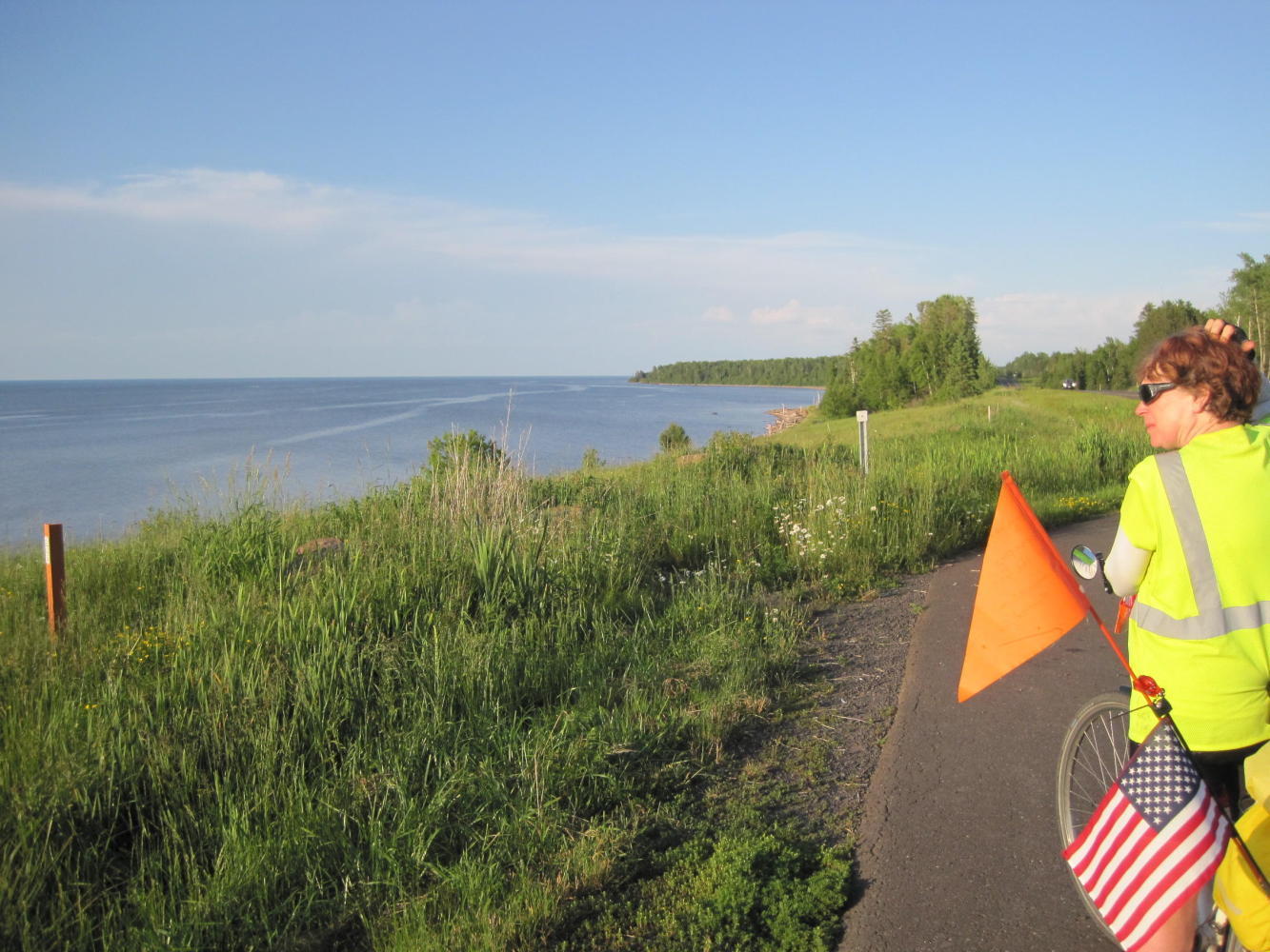
p.s. We are flying both US and Canadian flags, so why would anyone assume we were from Canada? Answer - we don't think an American would fly a Canadian flag, even in Canada and certainly not in the US. So, the guy was right, we had to be Canadian, eh?
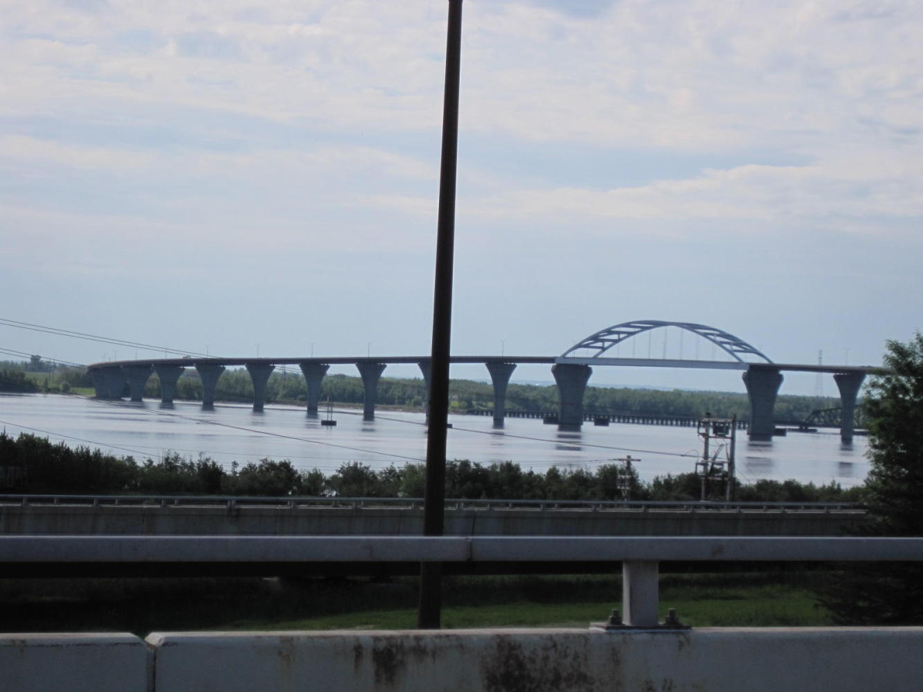
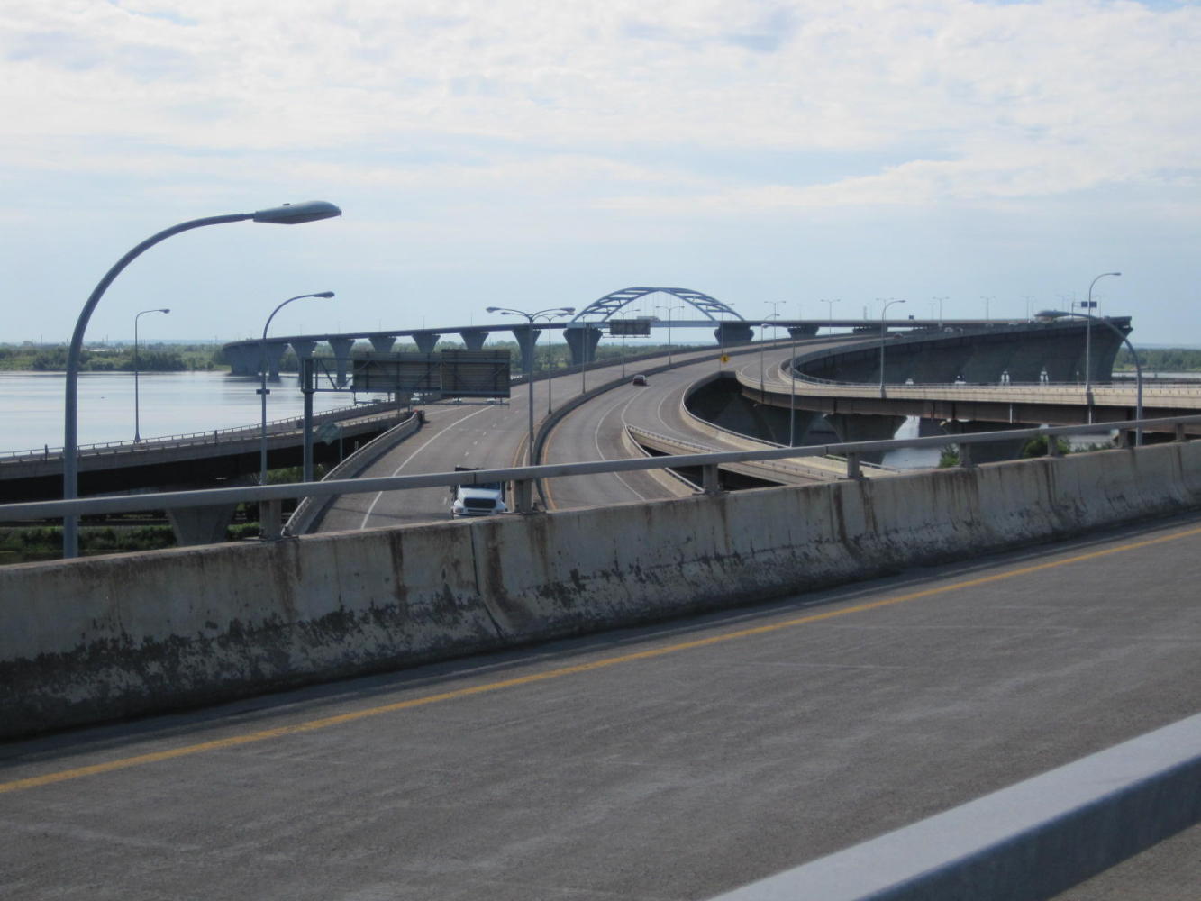
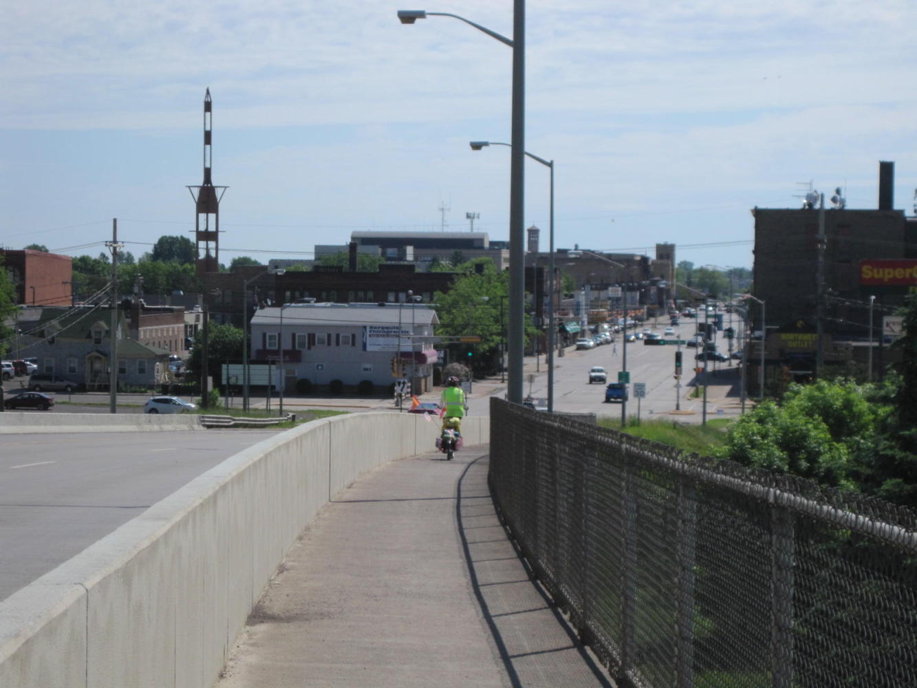
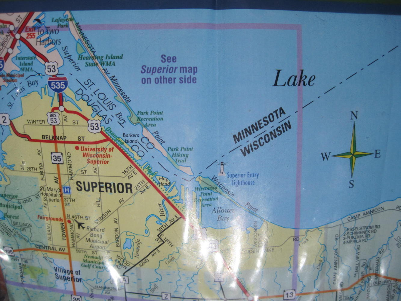
Now for getting out of Duluth. A simple matter of crossing the Bong bridge, to Superior Wisconsin. (Bridge is named for George Bong, a WWII flying ace). Only, not so simple. Our first approach was via the on ramp (duh!). After a bit, though there was a shoulder, there was a sign prohibiting bicycles (plus pedestrians, ATVs, and most any other conveyance). Dodie said 'we have to turn back.' I thought 'We can make it', then I thought 'What would Laurie say (a) if we did make it and (b) if we did not', so we turned back.
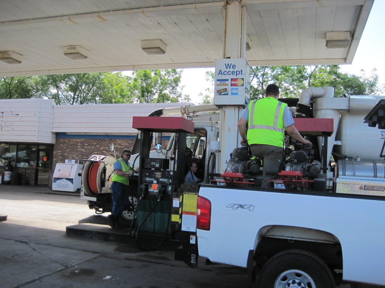
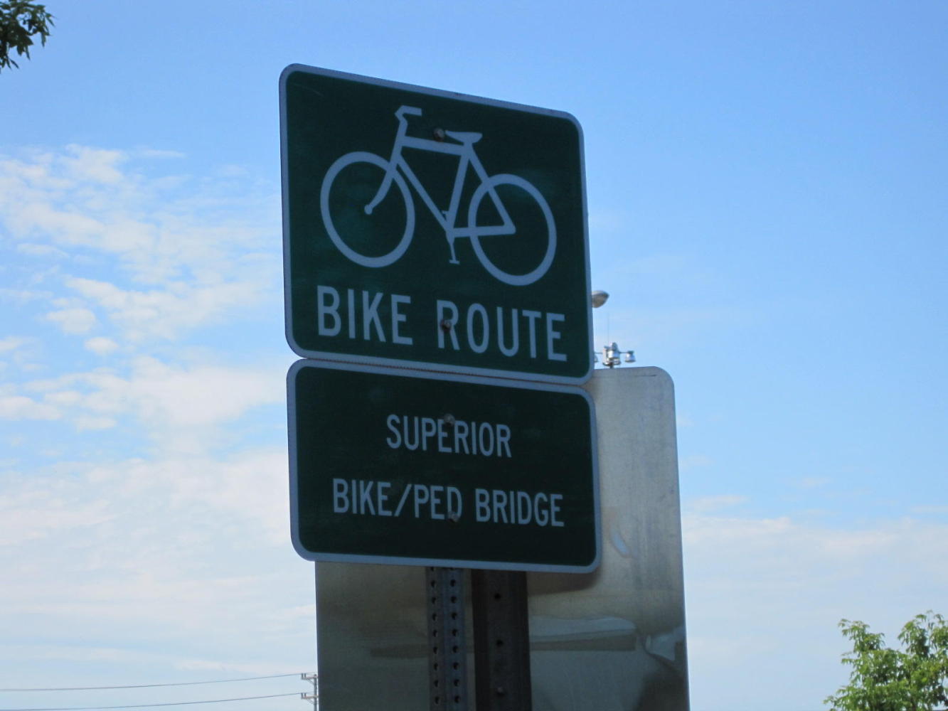
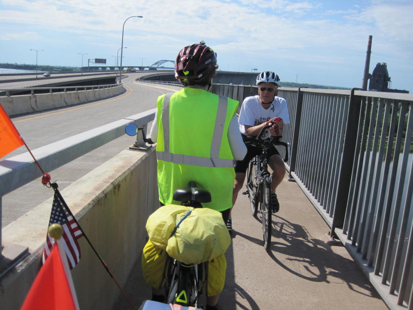
Back on Grand Ave. we approached a category of citizen that we have found very useful in the past: anyone also wearing a High-Vis vest. This time it turned out to be a man driving a city owned power vac truck. He and his buddy came up with the way on to a pedestrian/bike corridor on the bridge.
So up we went. Up, up, up. Soon another cyclist approached from the other direction. It was Willie Howard, the owner of 'Continental Ski and Bike' in Duluth, on his way to work. A fairly quick exchange of UQs ensued. Willie said he often saw cyclists stranded out in traffic on the main portion of the bridge, having not found the secret bike corridor. He also listened to our proposed route for the day and recommended we leave highway 2 and follow 13 up closer to the Lake.
We continued, up, up. Now the 'safe' bicycle lane certainly is that. It has a concrete wall on one side and a sturdy railing on the other. After the railing is God knows how many hundred feet straight down. So safe means you will not fall. But how to protect against pure unreasoning terror? I tried focussing on the concrete wall. I tried focussing on Dodie's back wheel. But in fact I thought about earthquakes. I thought about the movie '2012'. I thought about what is must have been like for the person who first bolted on that guard rail. I gripped my handlebars so hard I lost all feeling in my hands. In the down, down, down bit I had to operate my brake levers with my little fingers - the only parts of my hands still operational.
At the bottom and off the bridge Dodie sailed onward. I called to her 'Hey, how about stopping so I can throw up?' 'What's the problem, that was fun' was her blithe reply. Grrphh.
Once in Superior things slowly returned to normal inside my head and with my hands. The familiar heavy traffic, no shoulder, semi-trailers are as nothing compared to the safe corridor!
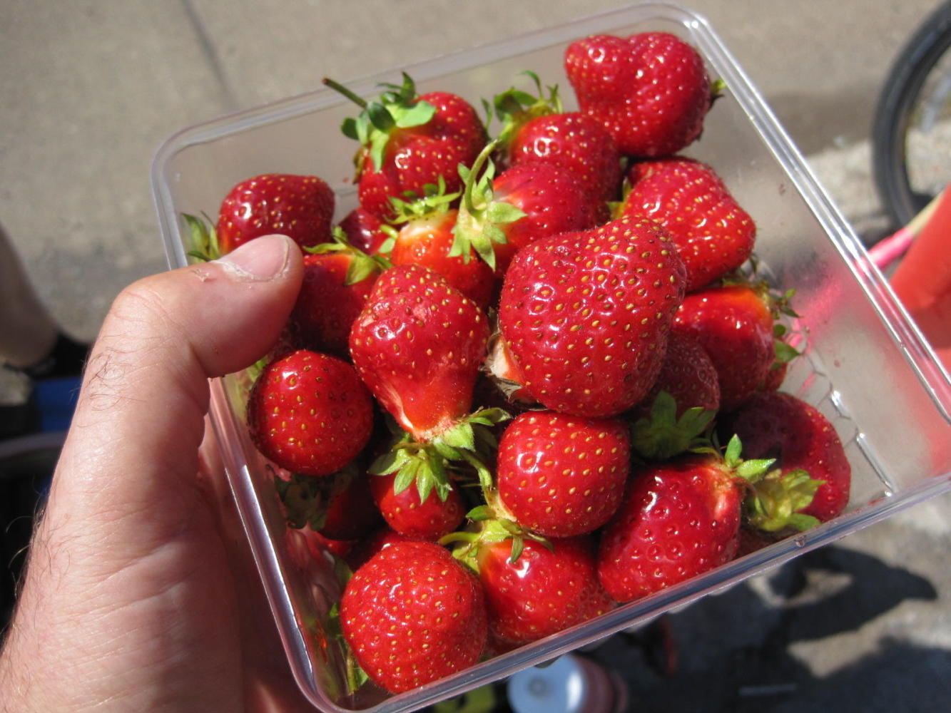
We came to a lady selling strawberries off the back of a van. Real strawberries! Picked this morning! A big basket lasted a short time.
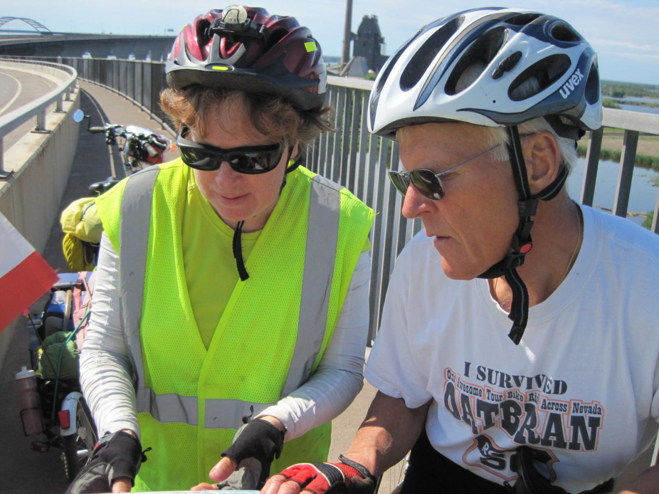
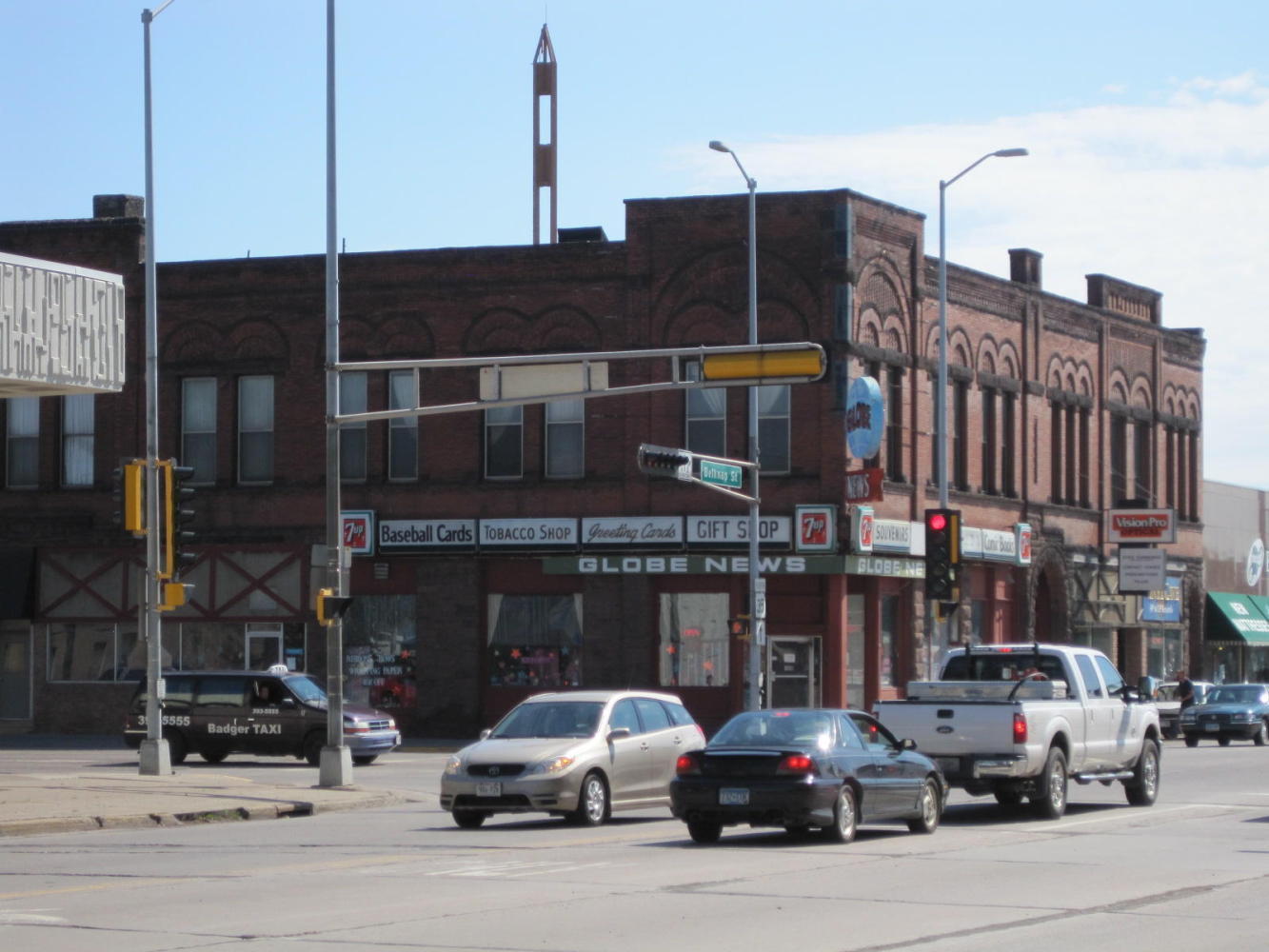
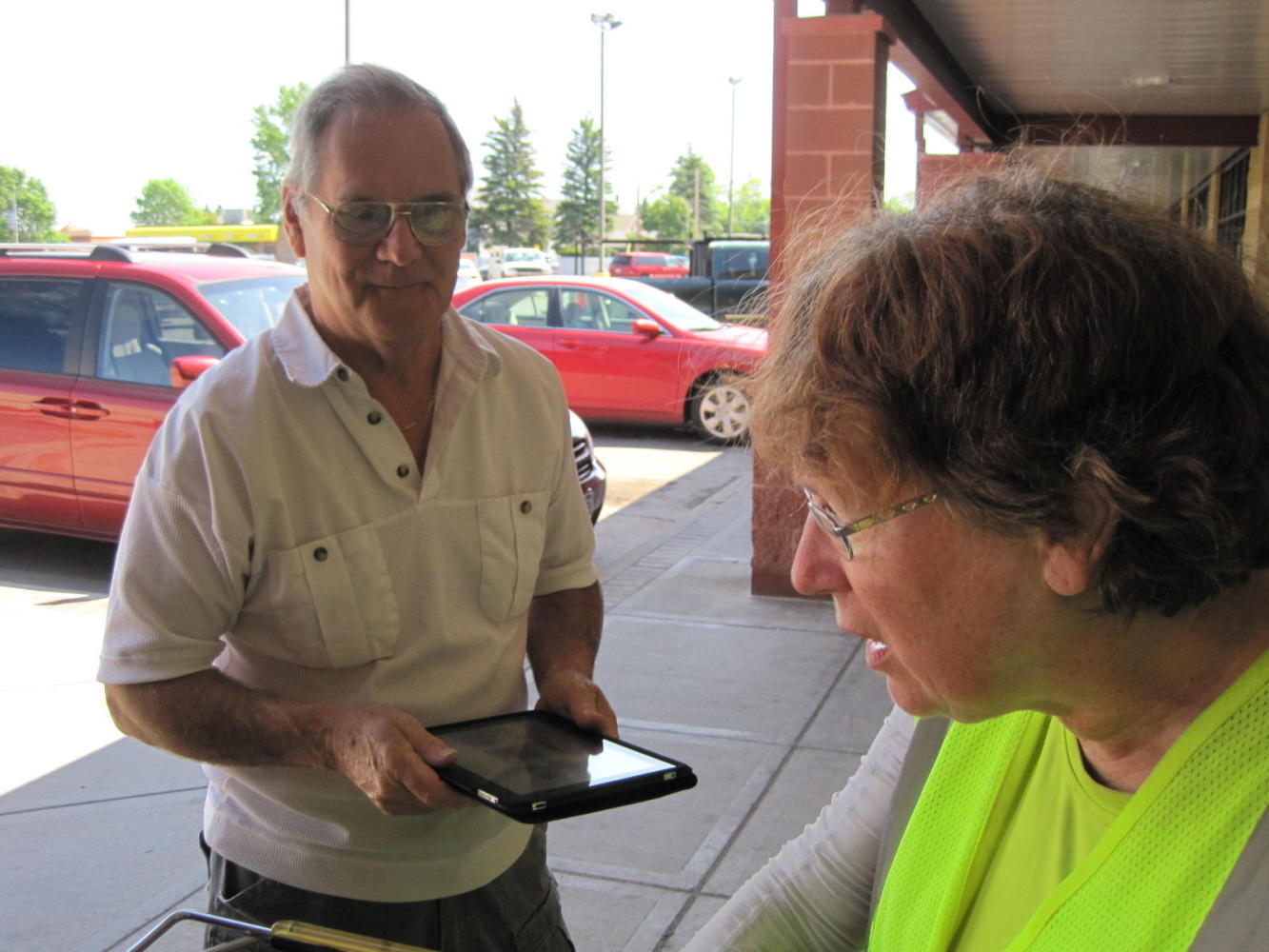
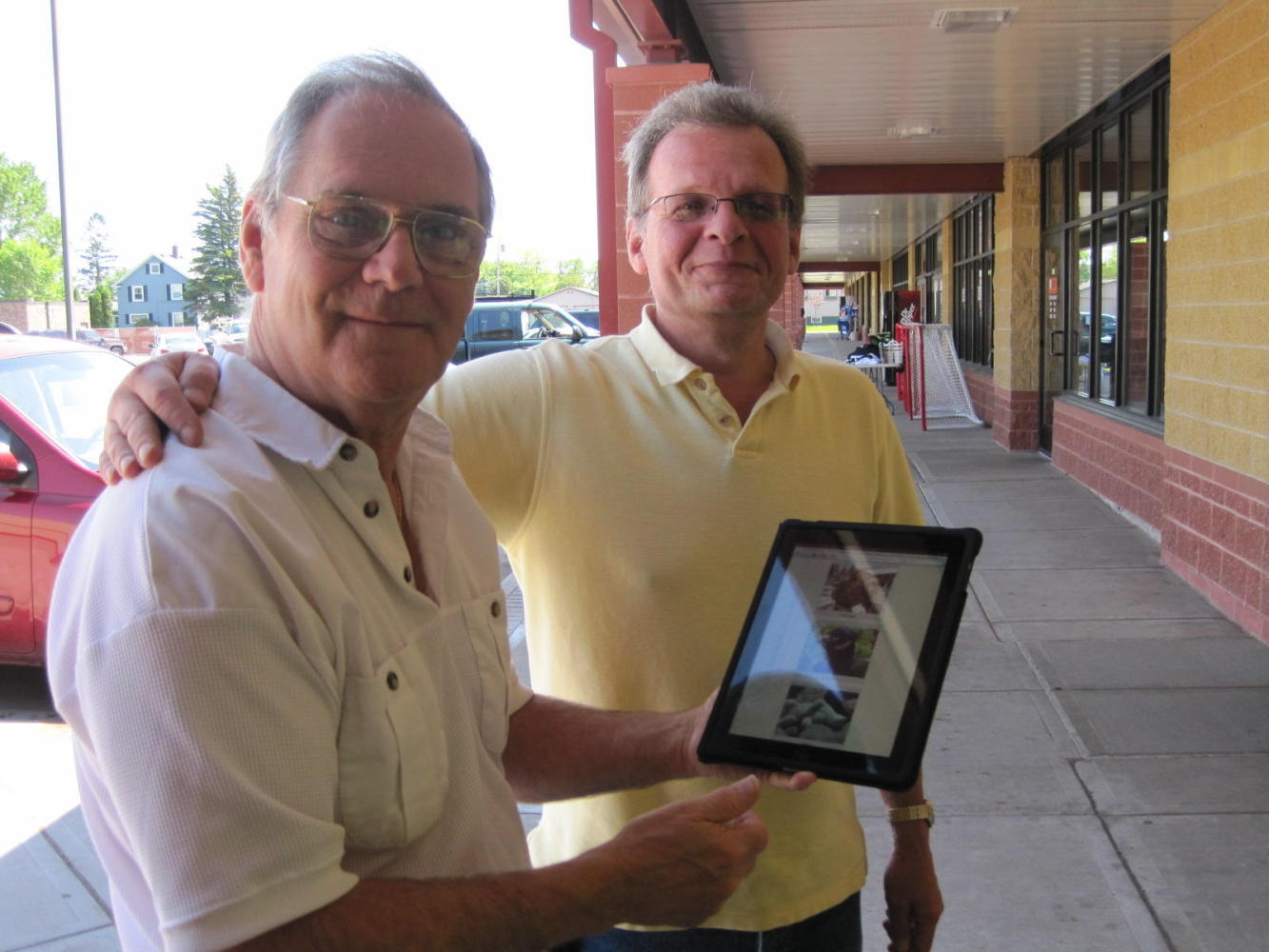
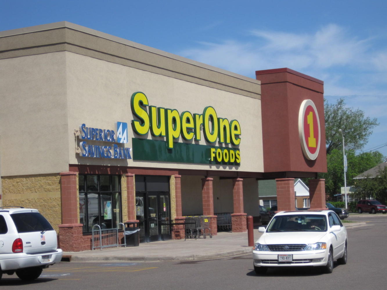
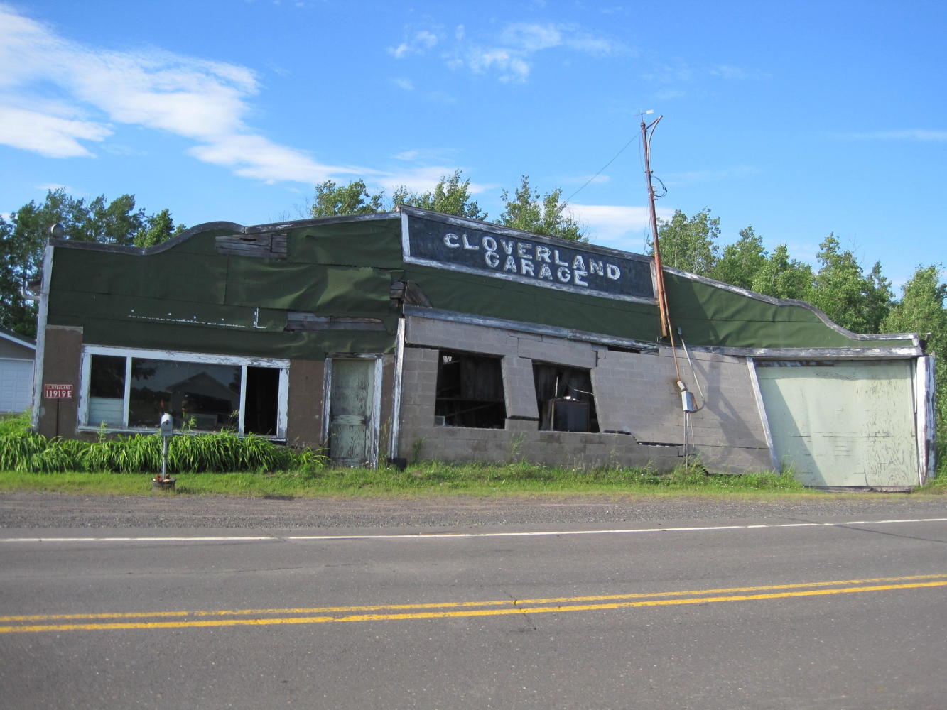
Next stop was a grocery store, the Super One, in a small mall. We parked the bikes in the shade near a liquor store. When we came back, the man from the liquor store already knew a lot about us. He had read the 'Google Us' that we have on our flag, and had been reading the blog. The man was actually Tim Jaques, the owner of the mall. Many UQs ensued. Art Petri, the bartender in the bar part of the store (Belknap Bar and Liquor Store) and also the treasurer of Duluth Public Access Community Television also came out for a chat. Art had his iPad and was looking at 'Mordor' right then. We hoped both would keep reading along - need to keep that hit count up!
| Heart | 0 | Comment | 0 | Link |
| Heart | 0 | Comment | 0 | Link |
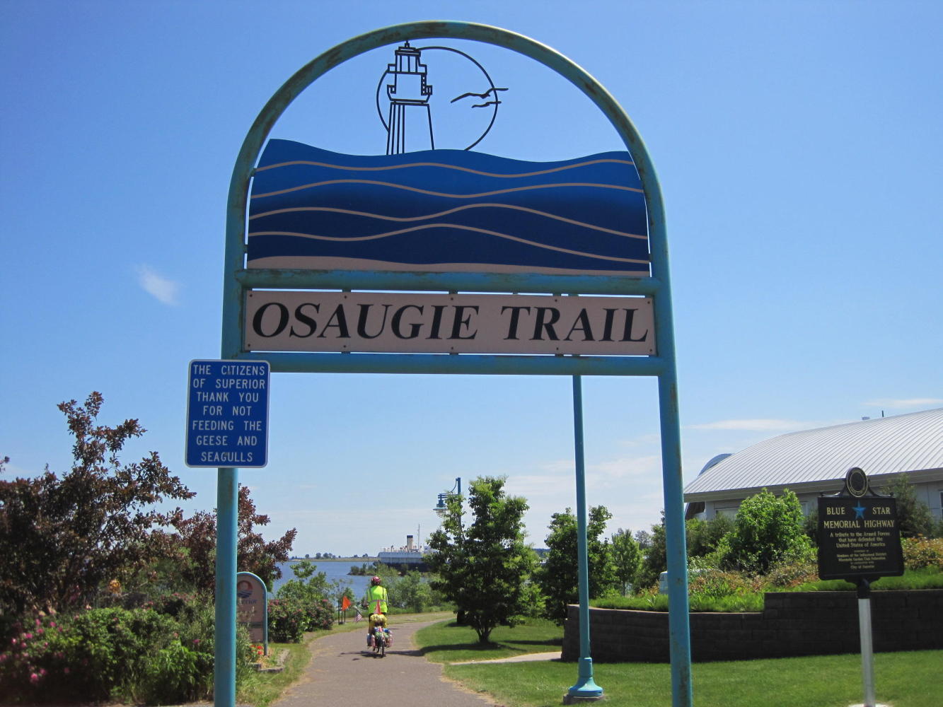
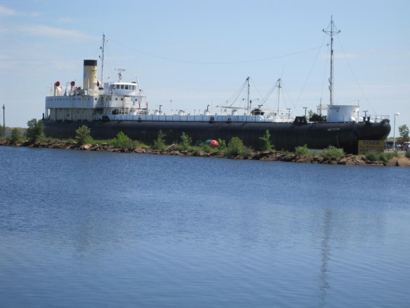
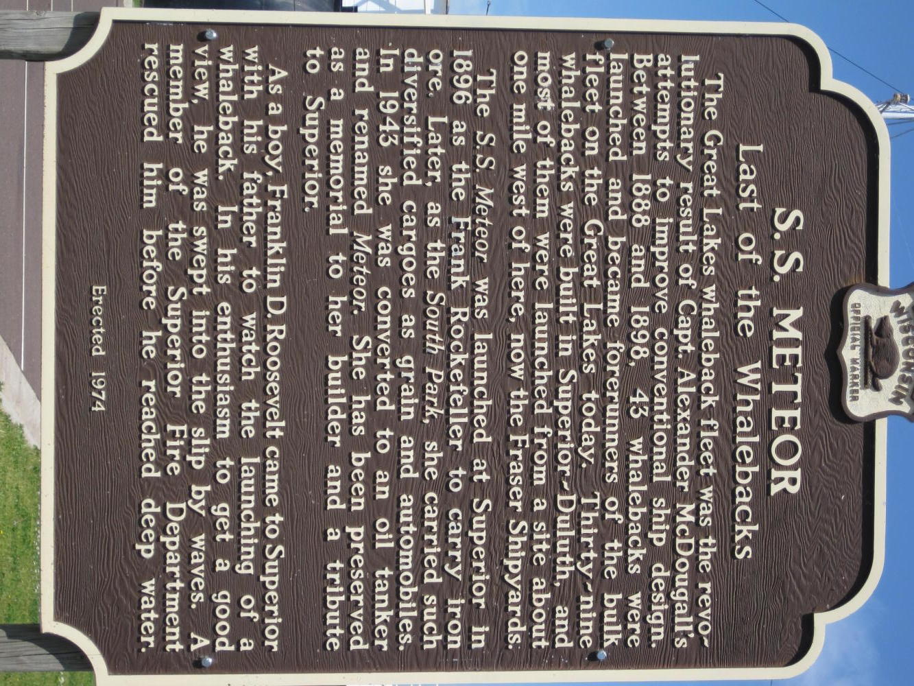
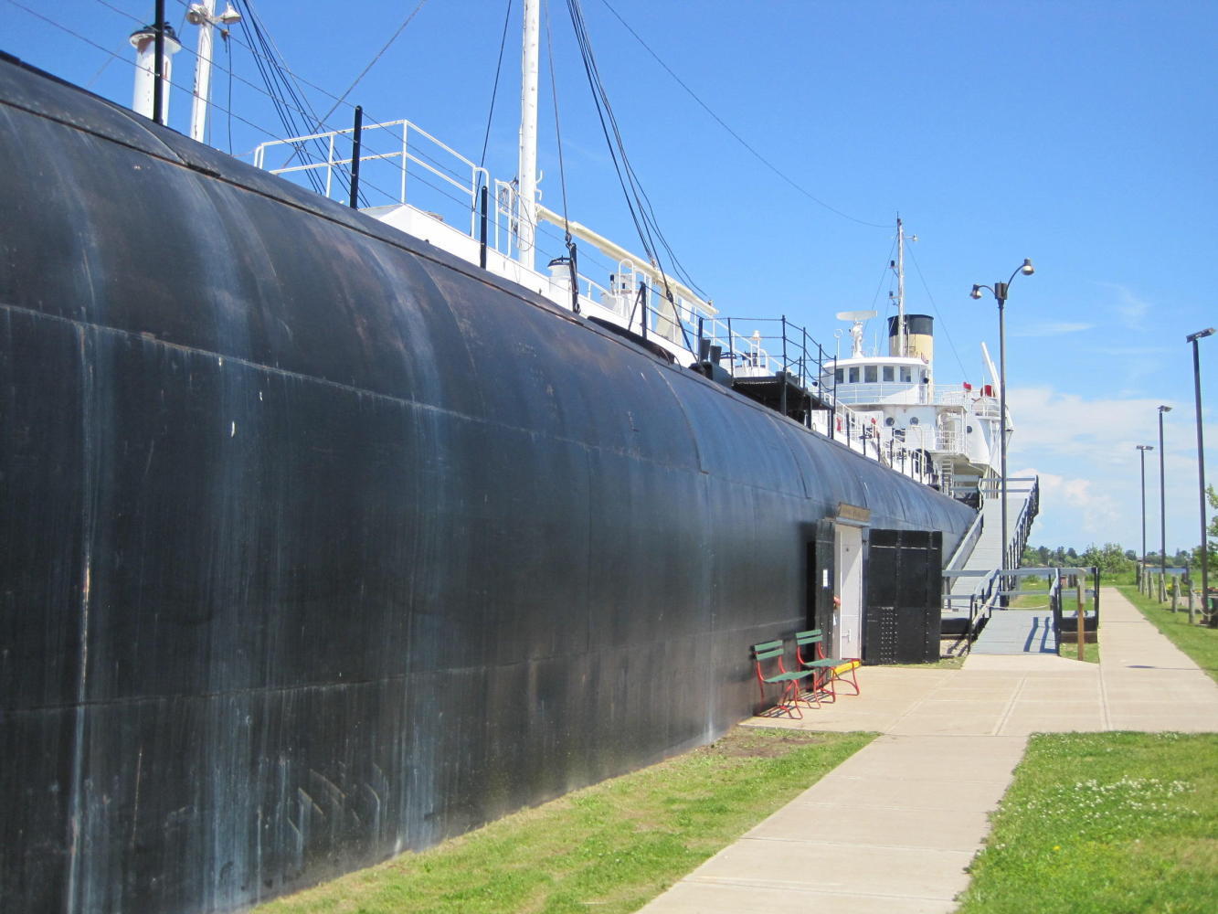
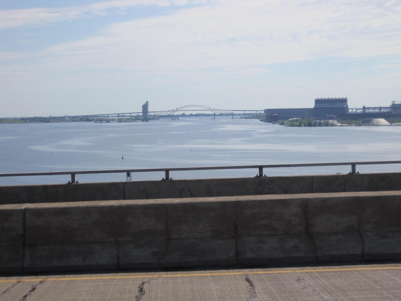
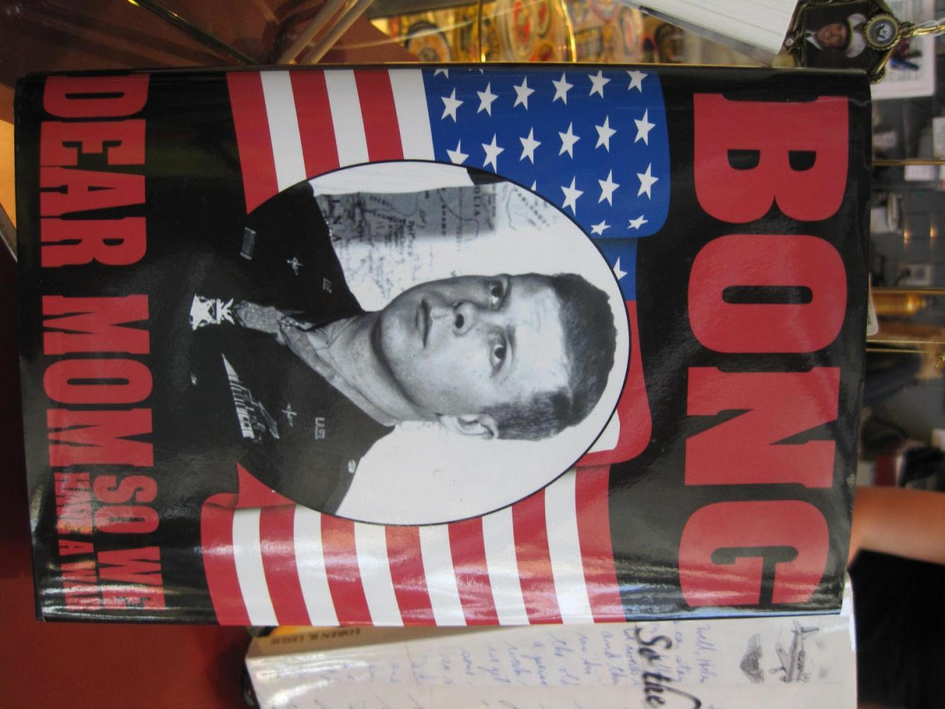
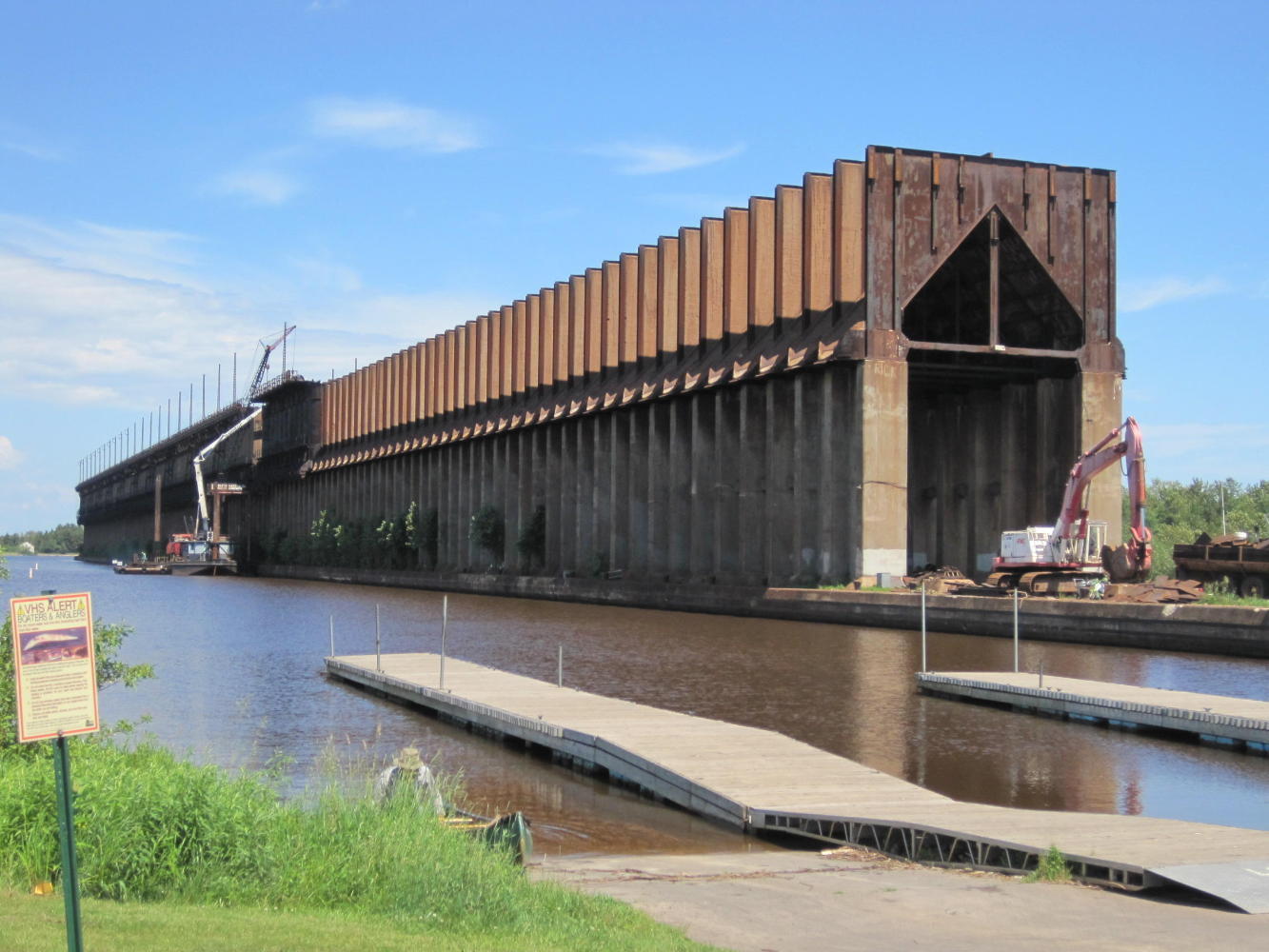
Art and Tim recommended that we check out the Meteor, which is not a celestial body but a ship on display down the road. We first found the Bong Veterans' Memorial Center. Bong was a WWII ace. Hence the sort of funny name for the bridge of terror.
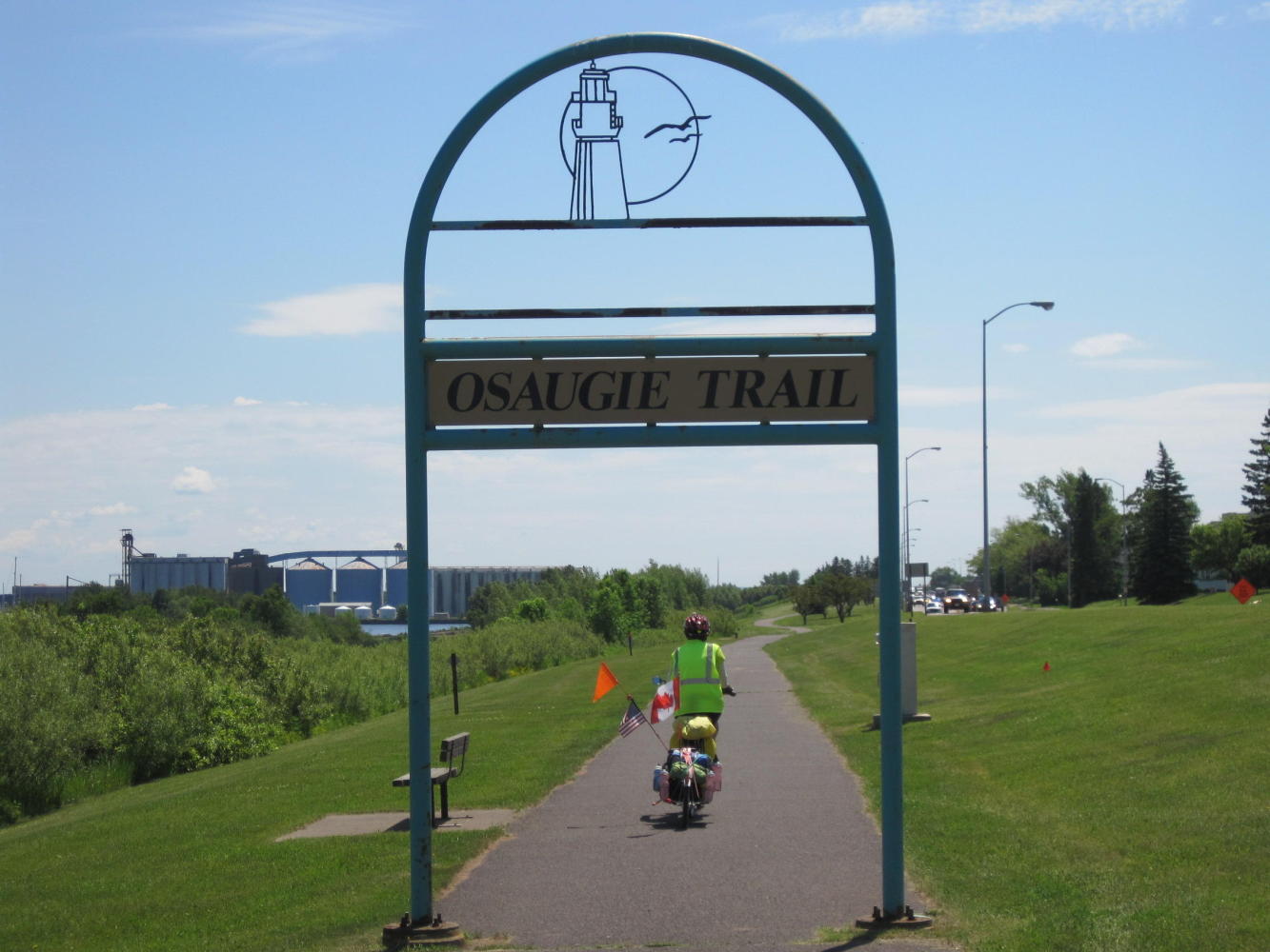
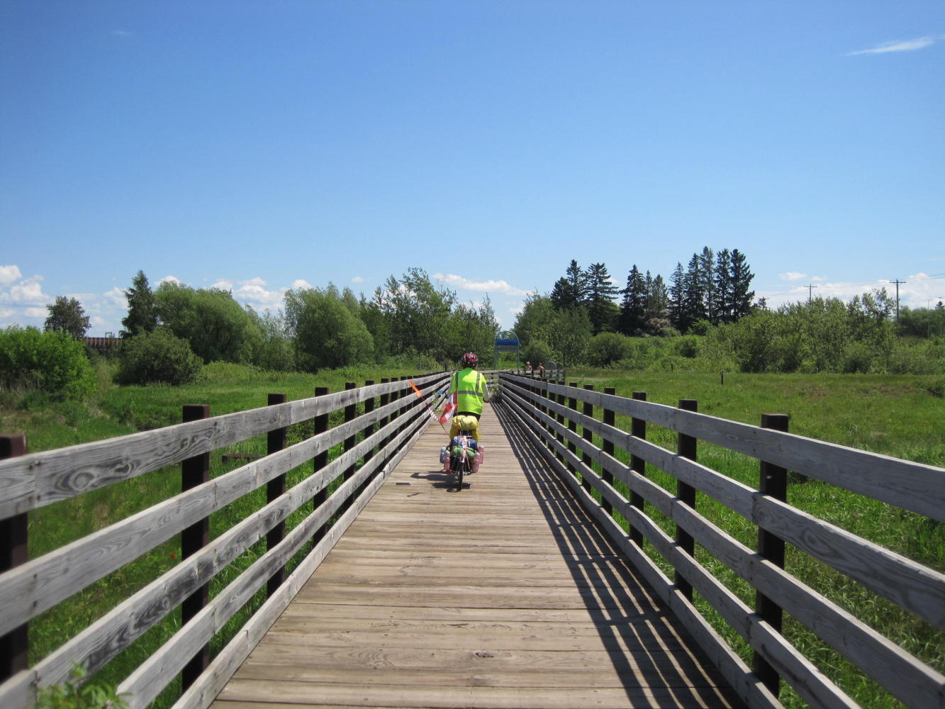
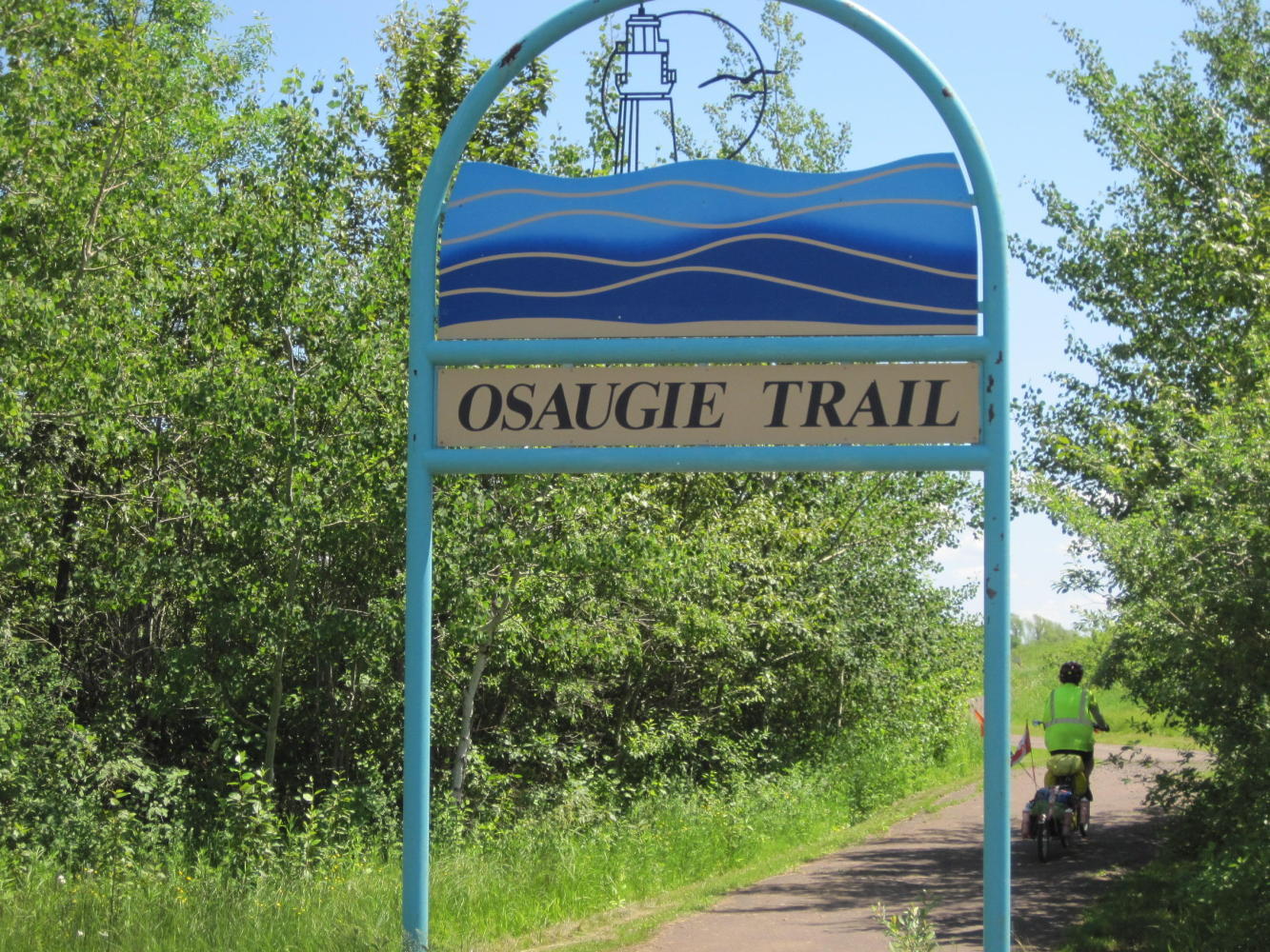
Just beside the centre we hooked into the Osaugie Trail. This turned out to be paved for about 10 km, going exactly our way. After that is continues as crushed limestone into Michigan! The trail lead by the Meteor, which you can see below:
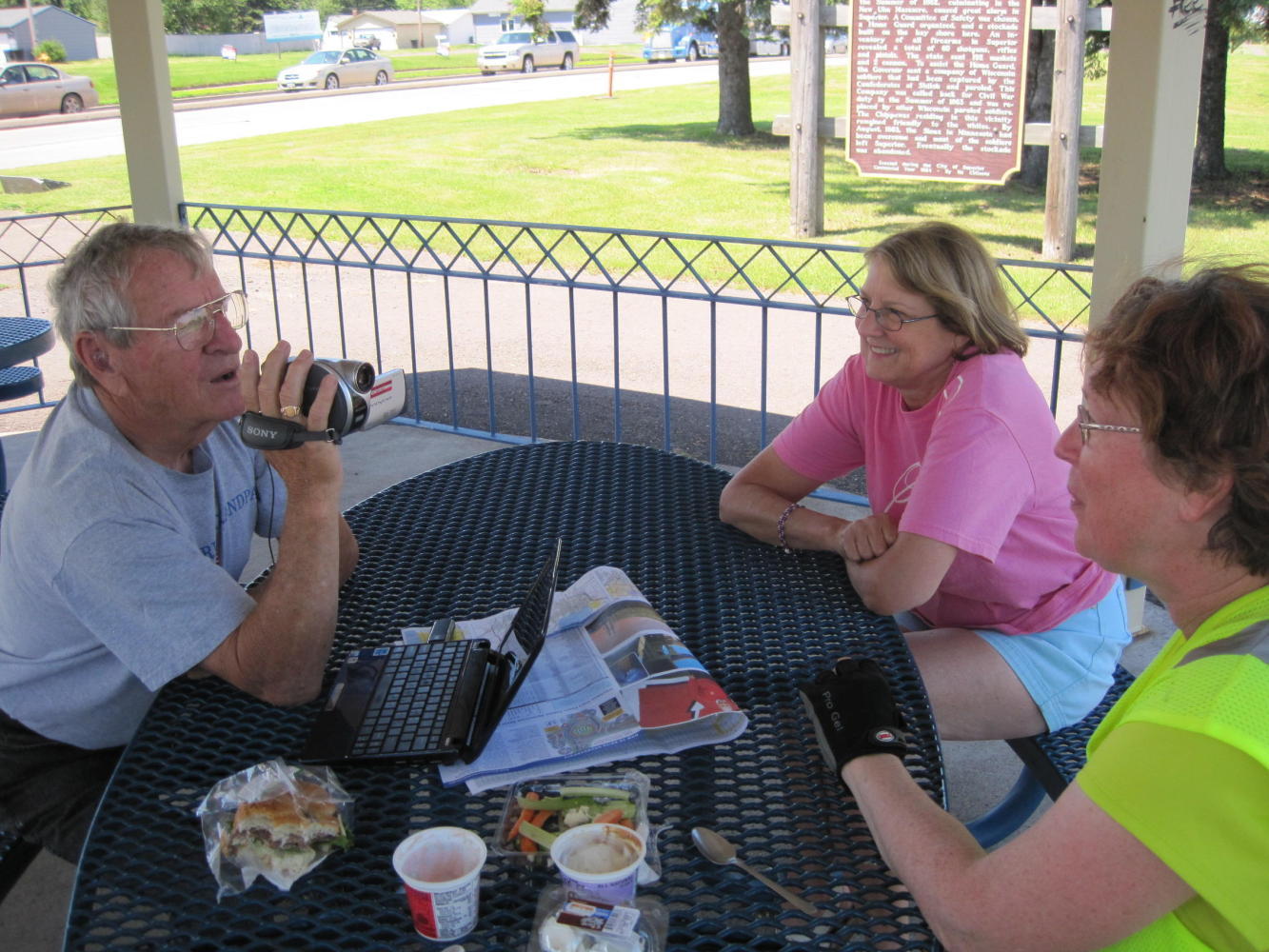
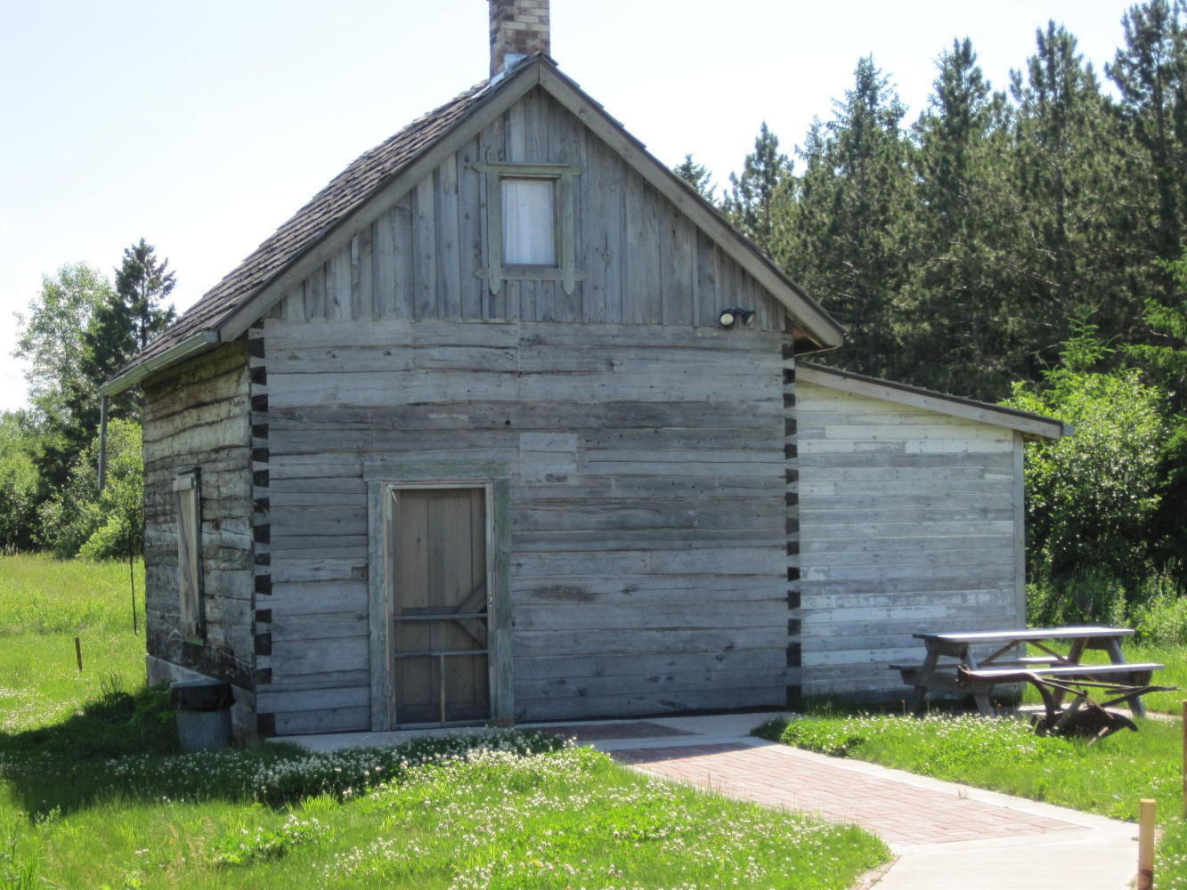
Along the trail we found a gazebo, ideal for lunch. It was deserted and we pulled our bikes in. Within a short time a fellow came to read the historical marker nearby. Naturally reserved, Norm, did not approach us at first. However, and inevitably, we did chat. Norm was quite taken with our journey. He called over his wife, Linda (?) and explained the trip to her. He went to get his video camera, and recorded some UQs for the folks back home.
| Heart | 0 | Comment | 0 | Link |
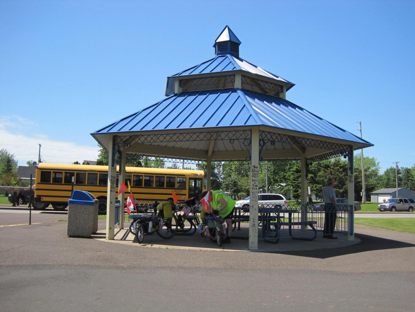
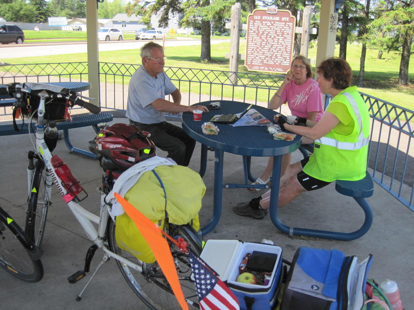
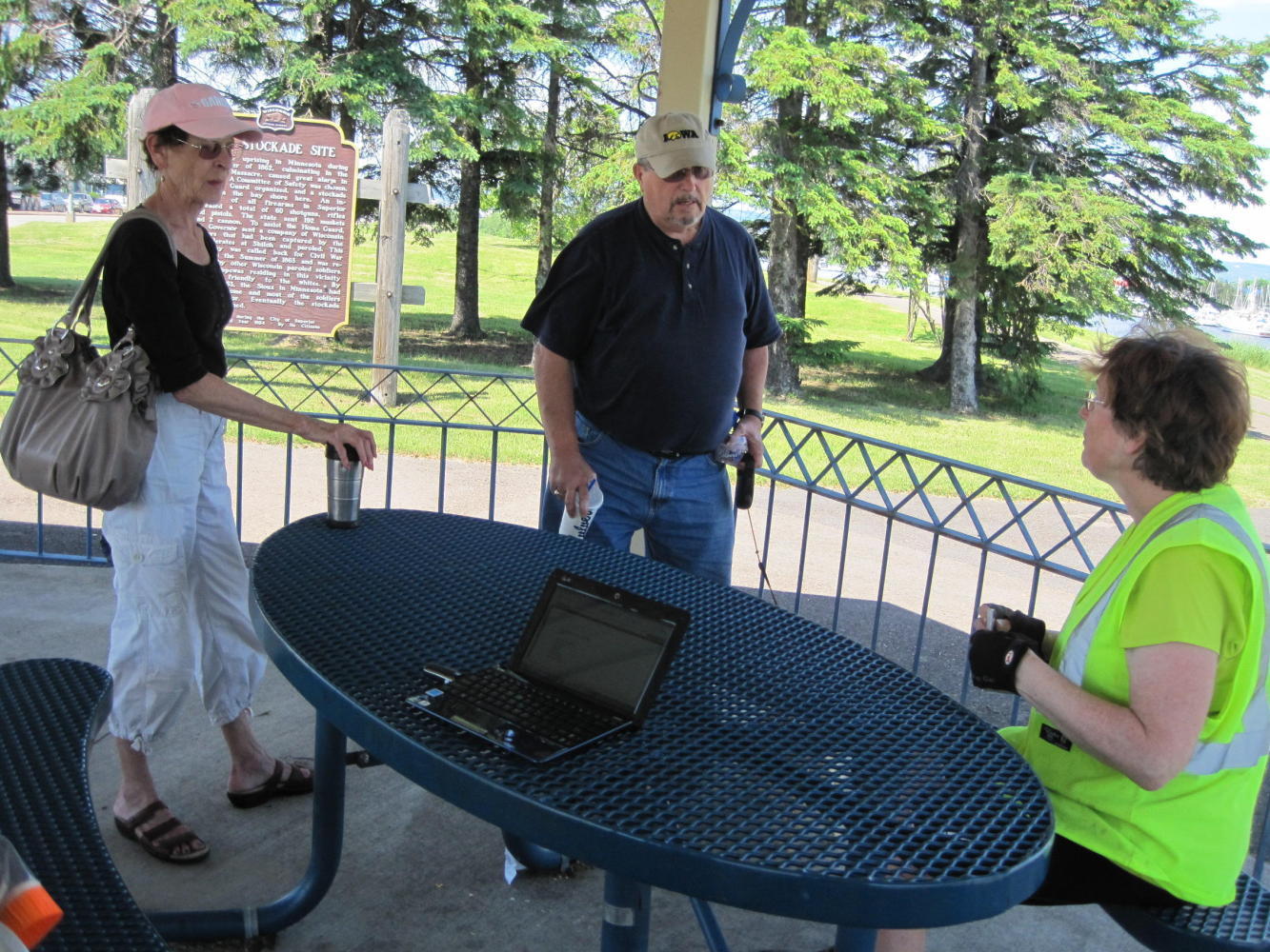
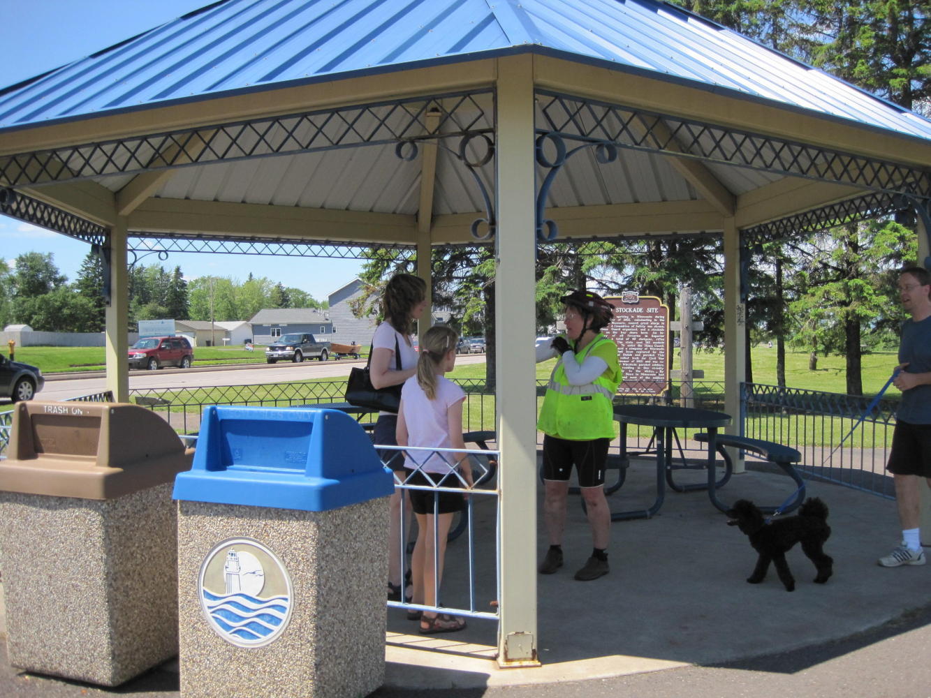
By this time the Gazebo had filled with two other families. UQs all around! We all did finally continue our trips, but it took a while (a long while).
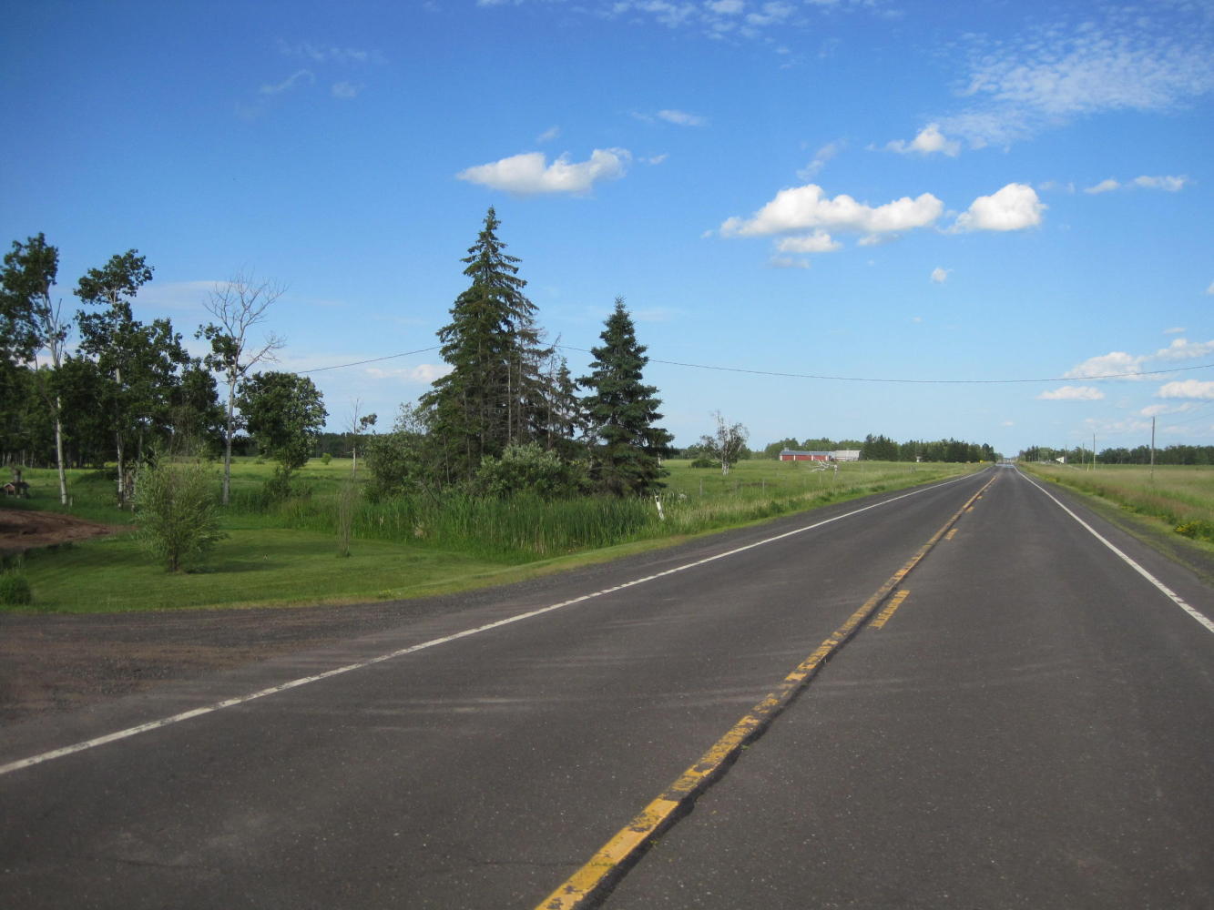
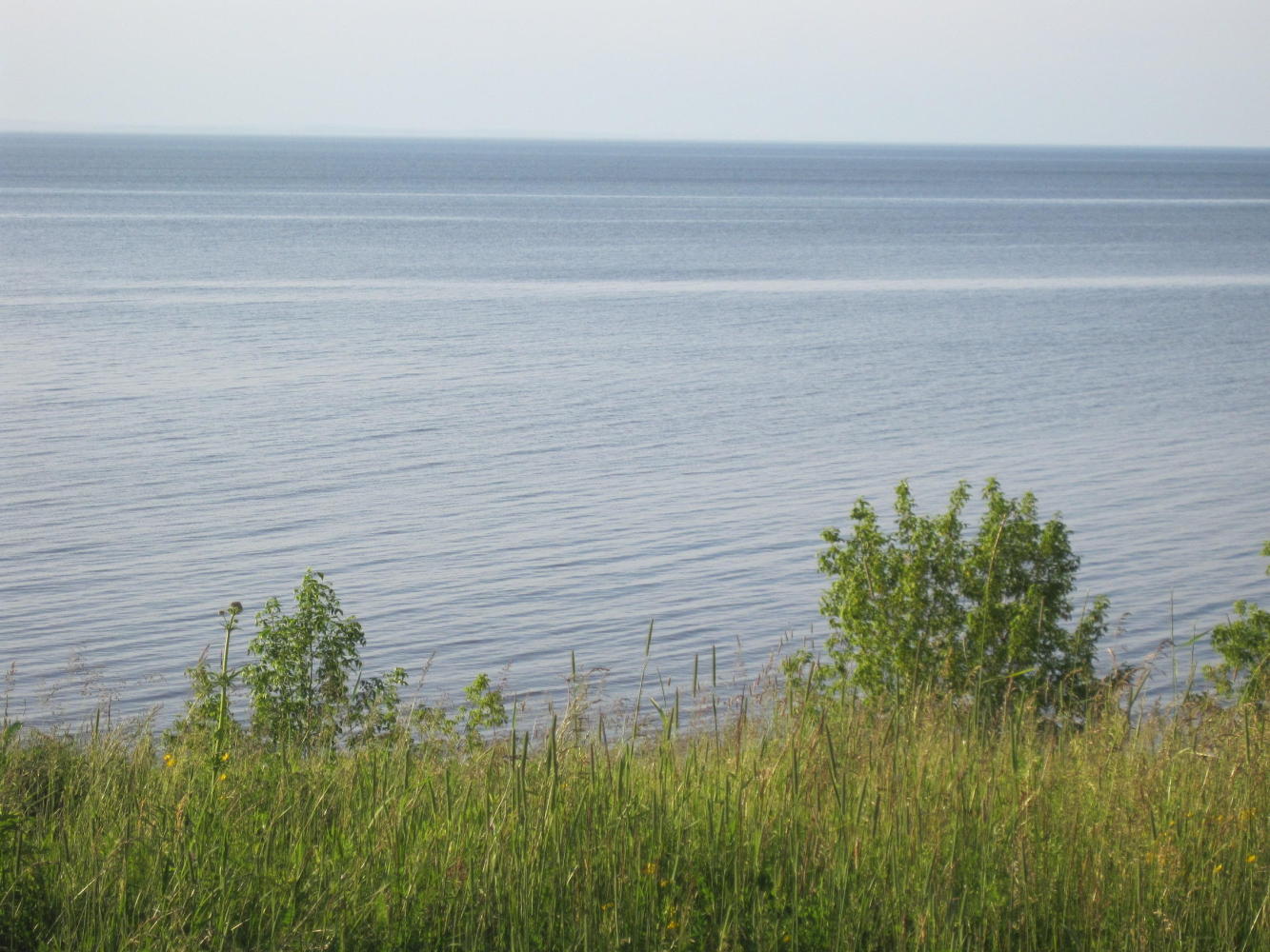
Shortly after the trail ended we shifted to highway 13, the route recommended by Willie, up closer to the Lake. This road was certainly quieter than highway 2. For 20 or 30 km it passed relatively small hay farms, and was pleasant if not spectacular. Its next trick, though, was to cross no fewer than two dozen streams, on their way to the big lake. Each stream featured a ravine and each ravine featured (naturally enough) a down and an up part! On the down, Dodie was afraid of too much speed. On the up, it was granny gear crank crank. Dodie was not impressed!
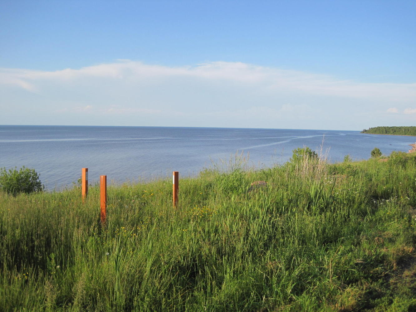
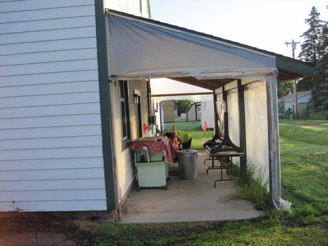
Eventually the road went into a long (10 km) gentle downhill, heading for the lake. We pedalled along gamely, as the sun got lower. We arrived at Port Wing at 8:30 but the little store was closed. We scouted the area and found lots of stealth camp opportunities, including the campground (operated out of the (closed) little store). We chose to stash ourselves in a sort of lean to behind the community hall. It was covered so we did not use the tent fly. Even here by the Lake it is hot and very humid. Having just the mesh is a plus and the lean-to provided the rain cover.
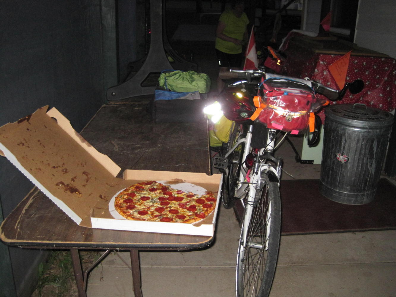
Working with a tip from a lady along the road, we made our way to the Port Bar, the only place open, and they made us a pizza. We dragged it back to our lean-to and partied on pizza and water. No chance to work on the blog, since mosquitoes were thick and internet was not. The mosquitoes piled into the tent when we did, and our best efforts at hunting them were not entirely successful.
In the tent we were still hot and sticky, and itchy, and still being harassed by residual mosquitoes. For the first time ever we heard the end of our movie!
Today's ride: 60 km (37 miles)
Total: 3,985 km (2,475 miles)
| Rate this entry's writing | Heart | 0 |
| Comment on this entry | Comment | 0 |