May 17, 2011
Day 17 Irrigon, Oregon to Walla Walla, Washington: Risky Gamble
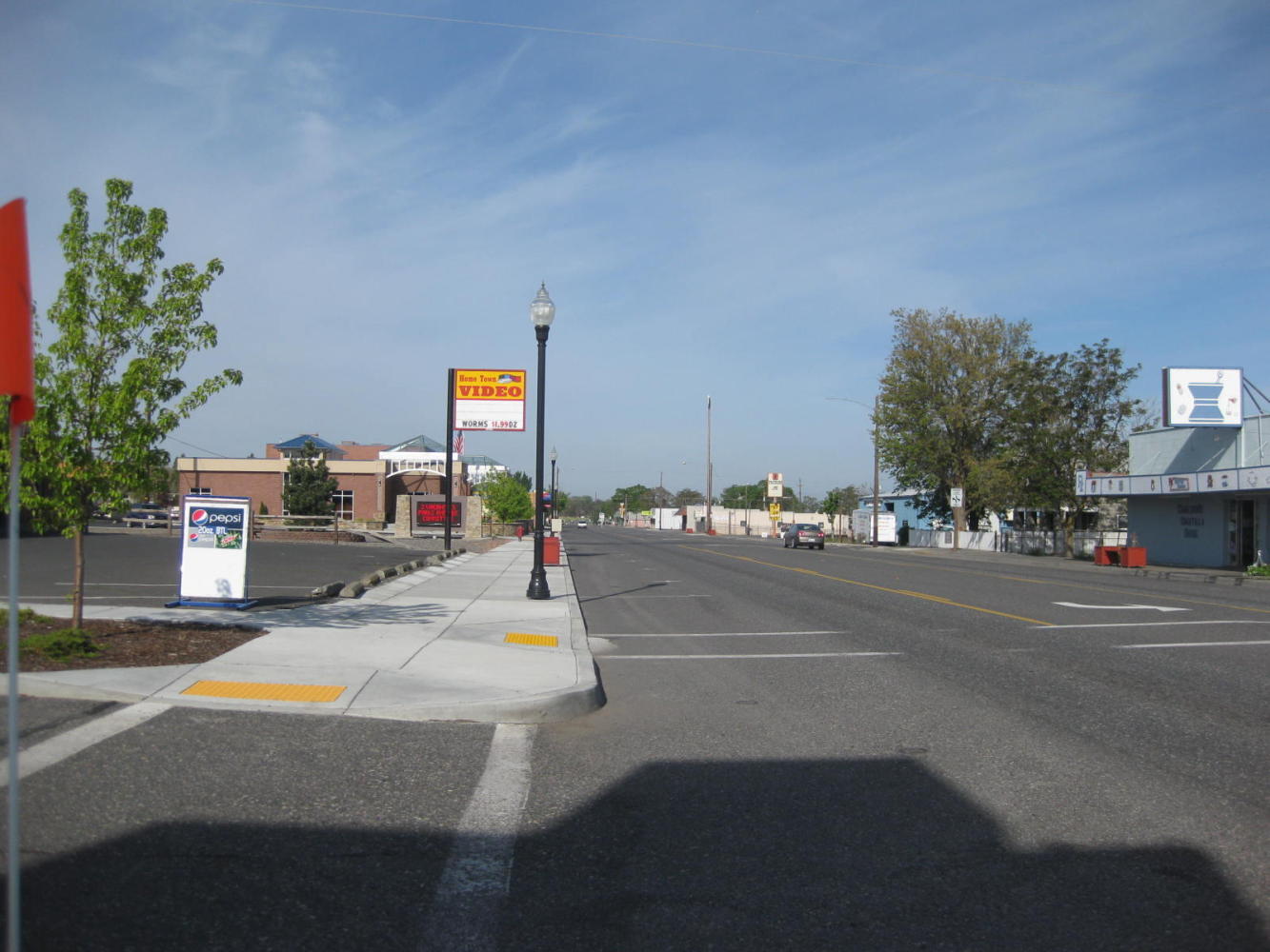
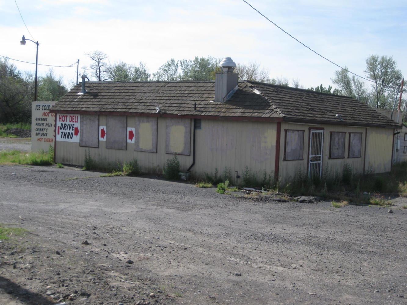
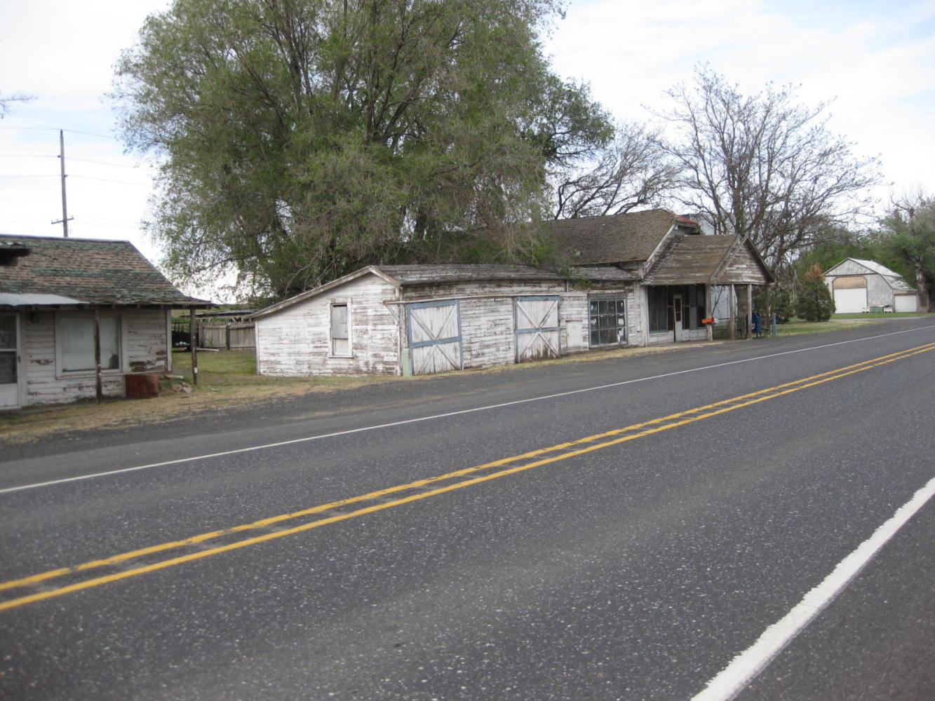
Jut as with Biggs, we like to document where we are, whether that fits traditional notions of scenic beauty or not. So we cast a look back to Irrigon and Umatilla, not lovely towns, but a decent home to many.
#
| Heart | 0 | Comment | 0 | Link |
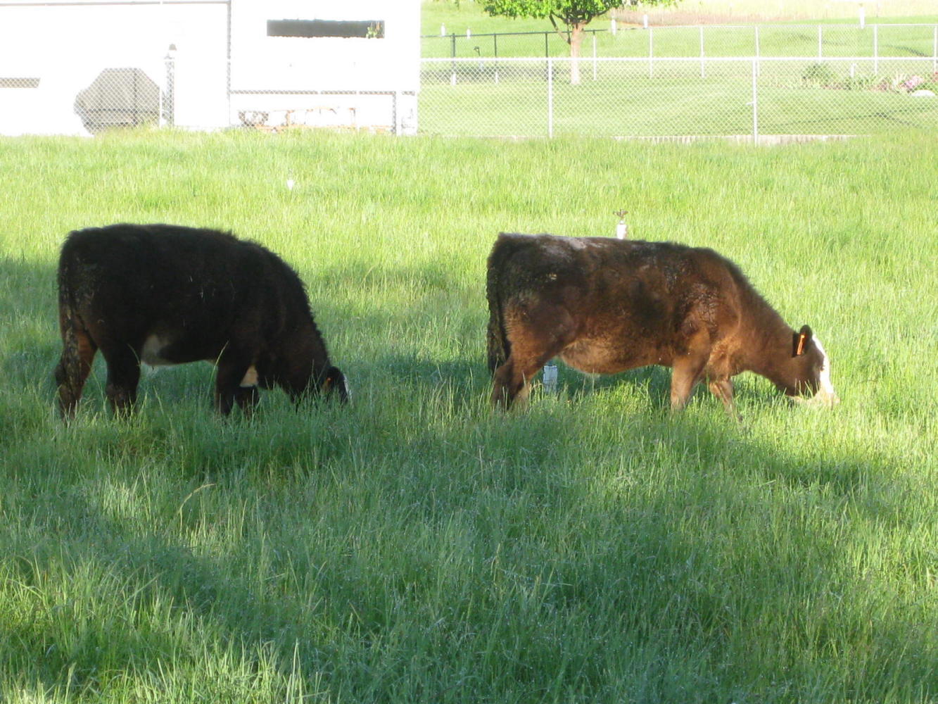
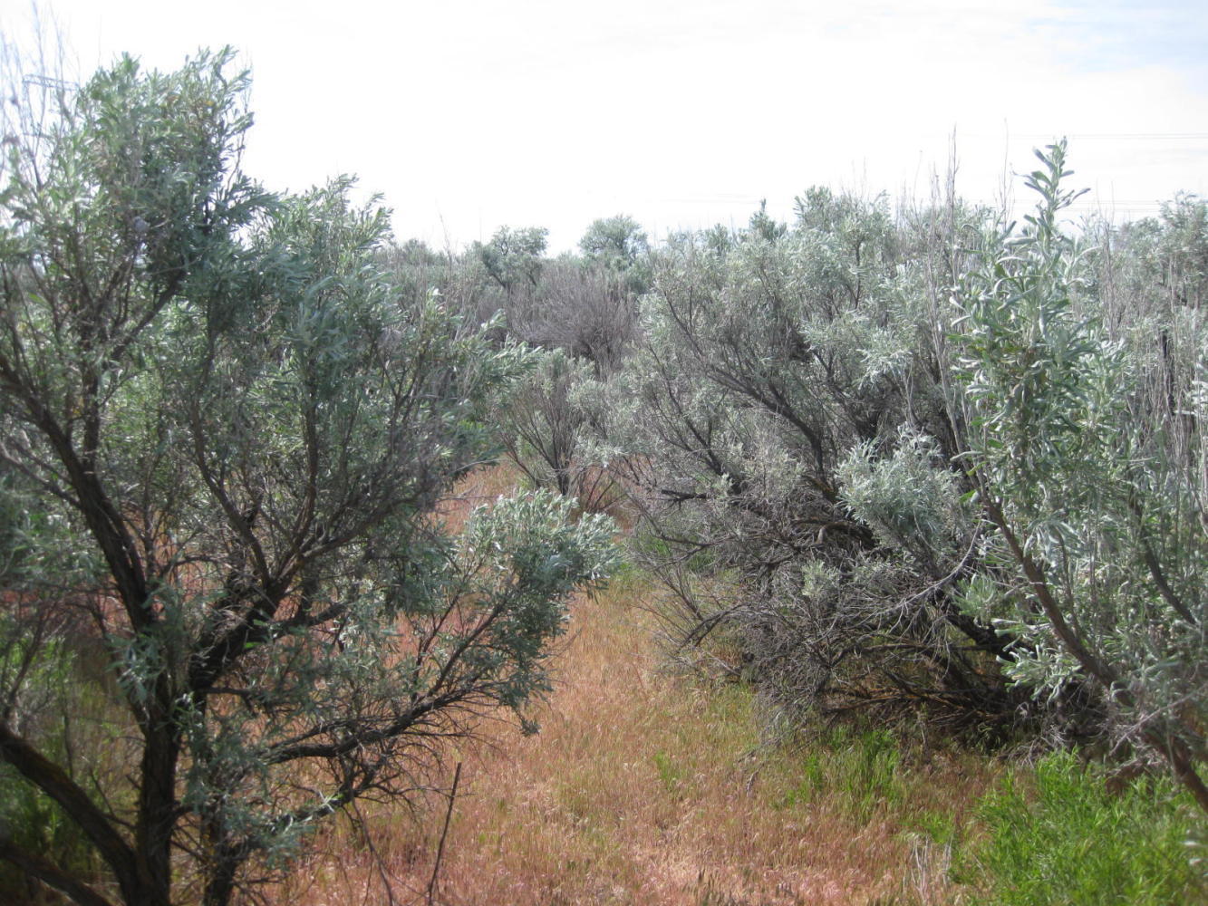
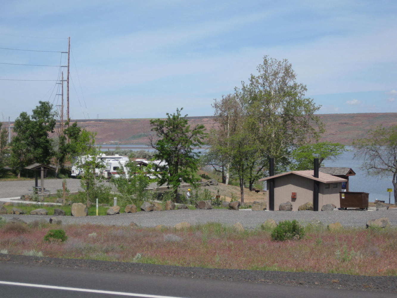
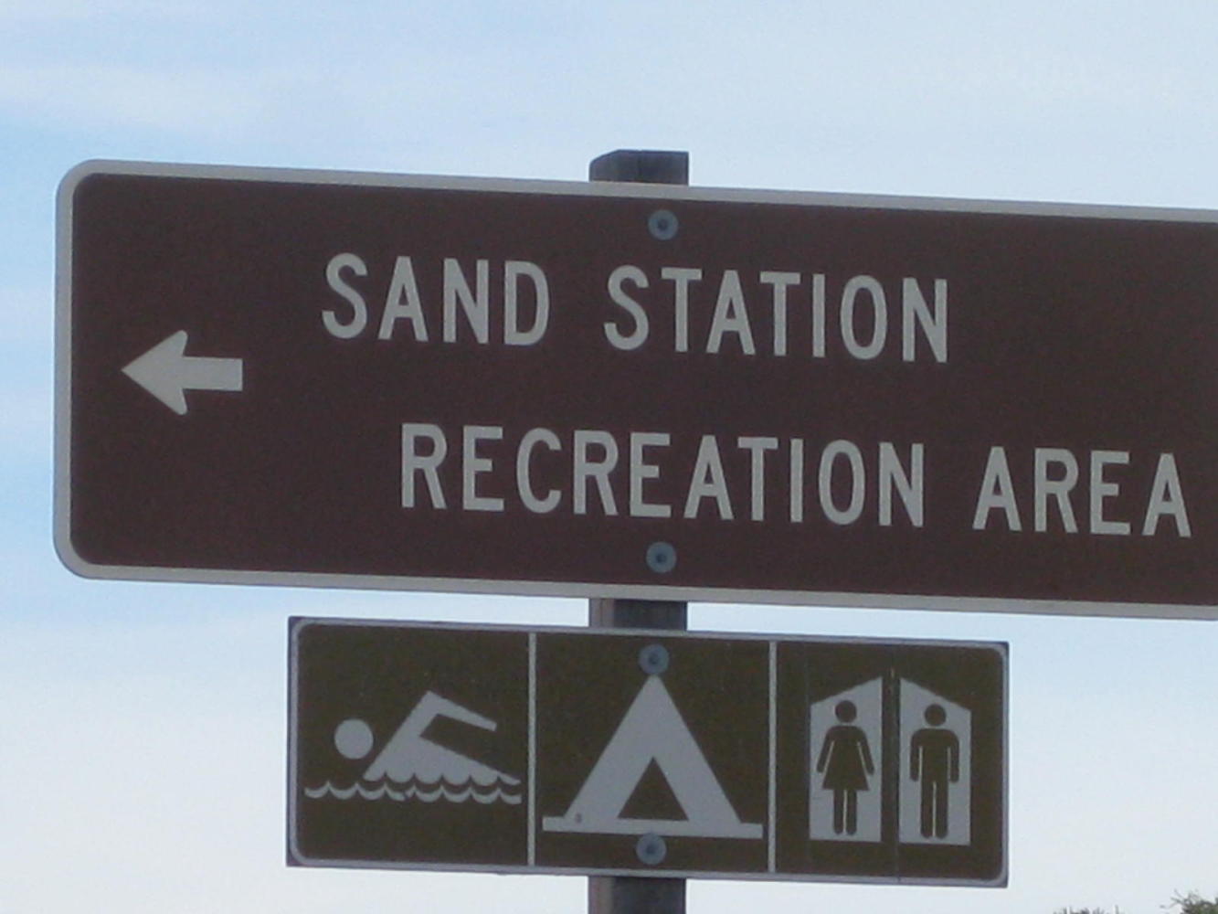
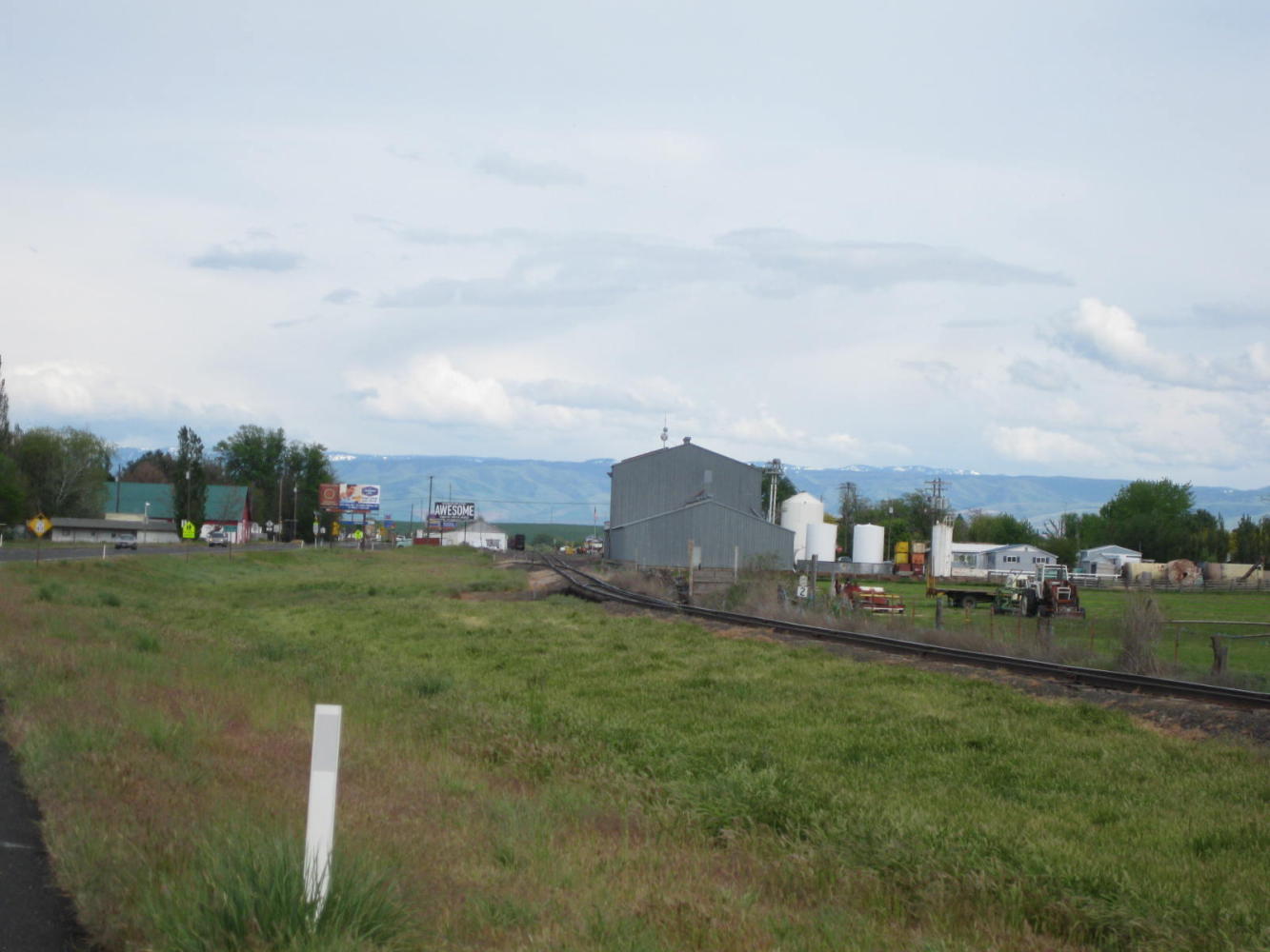
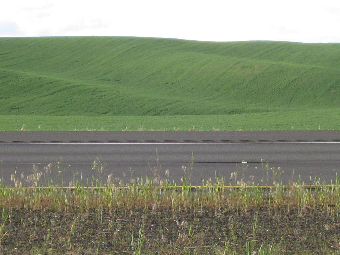
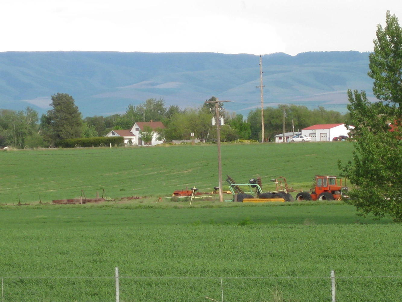
The dramatic switch from Coastal rainforest to pine and sage that happened on Day 15 was followed today by several more complete changes of scene. Irrigon marked the beginning of farming country, and that continued as we headed for Umatilla.
| Heart | 0 | Comment | 0 | Link |
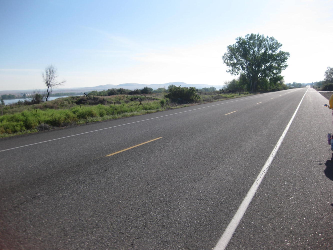
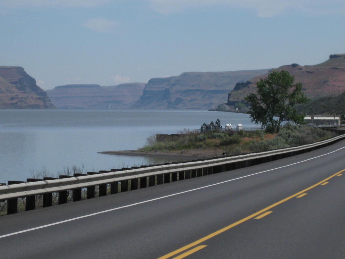
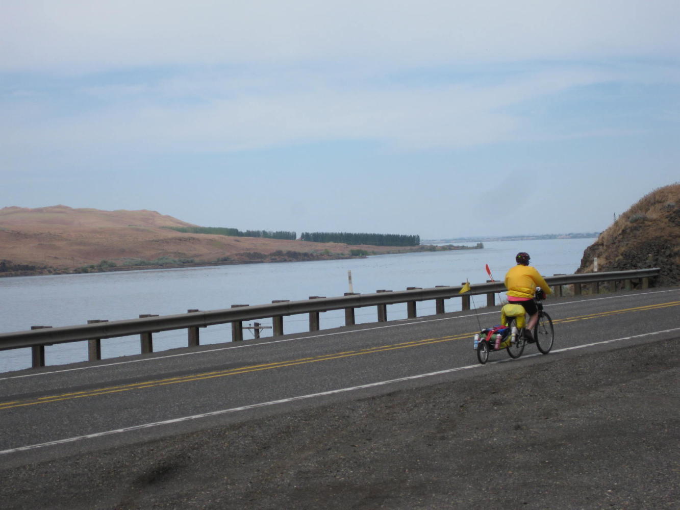
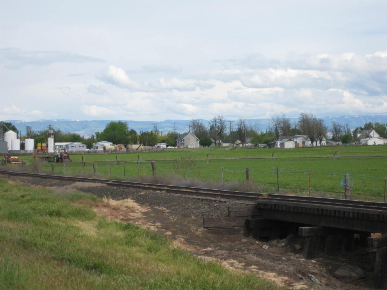
We may have been dis-Gorged yesterday, but the river remains with us to Umatilla and beyond, along highway 730.
| Heart | 0 | Comment | 0 | Link |
| Heart | 0 | Comment | 0 | Link |
| Heart | 0 | Comment | 0 | Link |
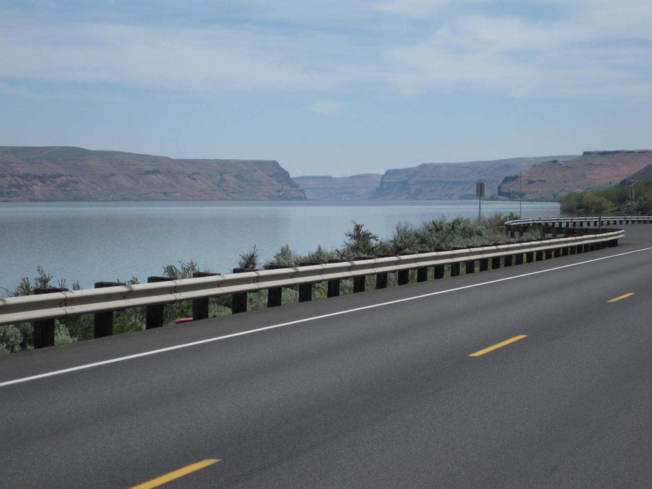
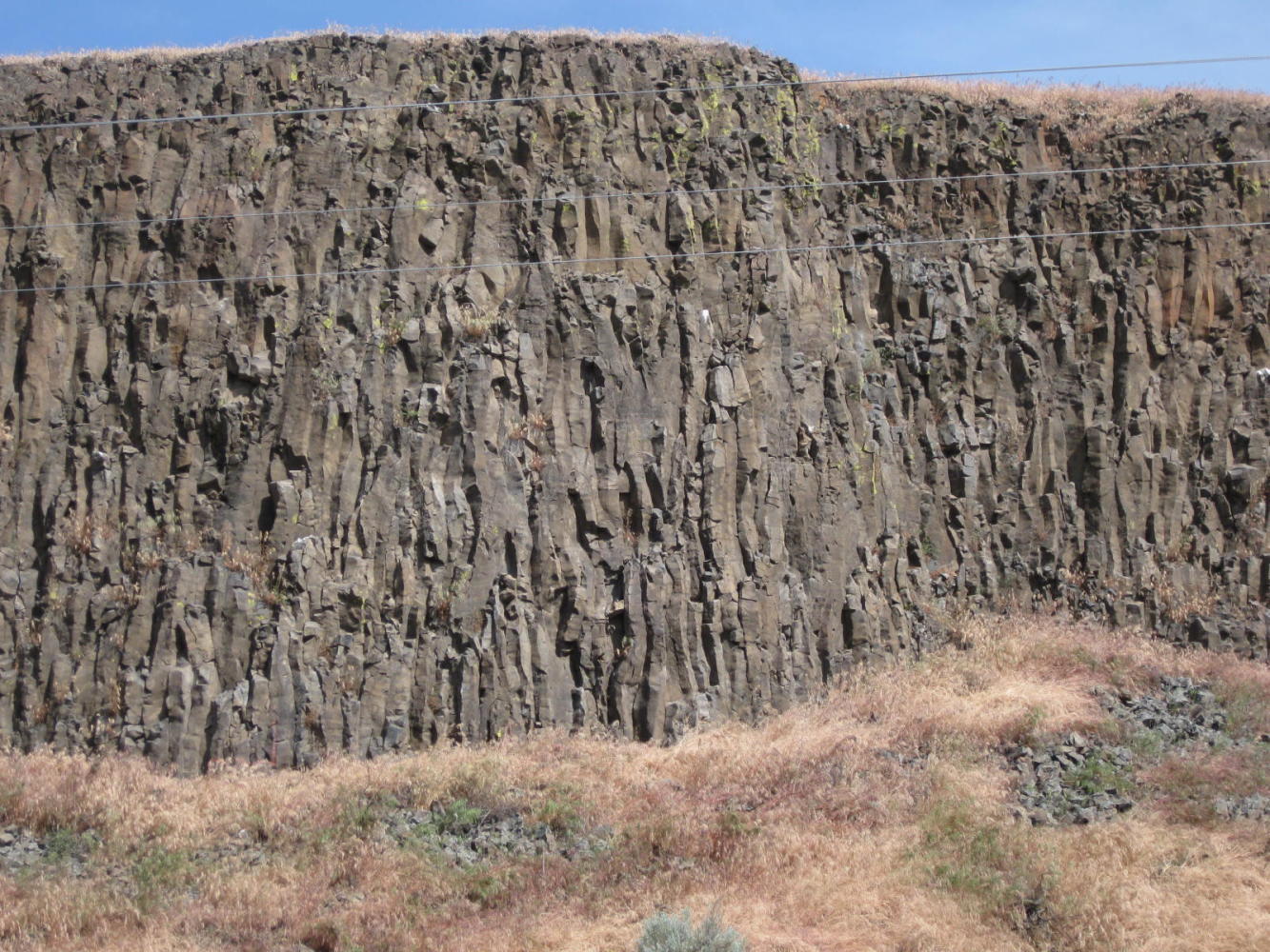
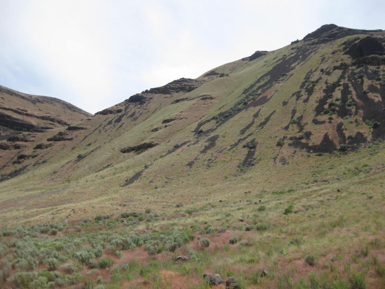
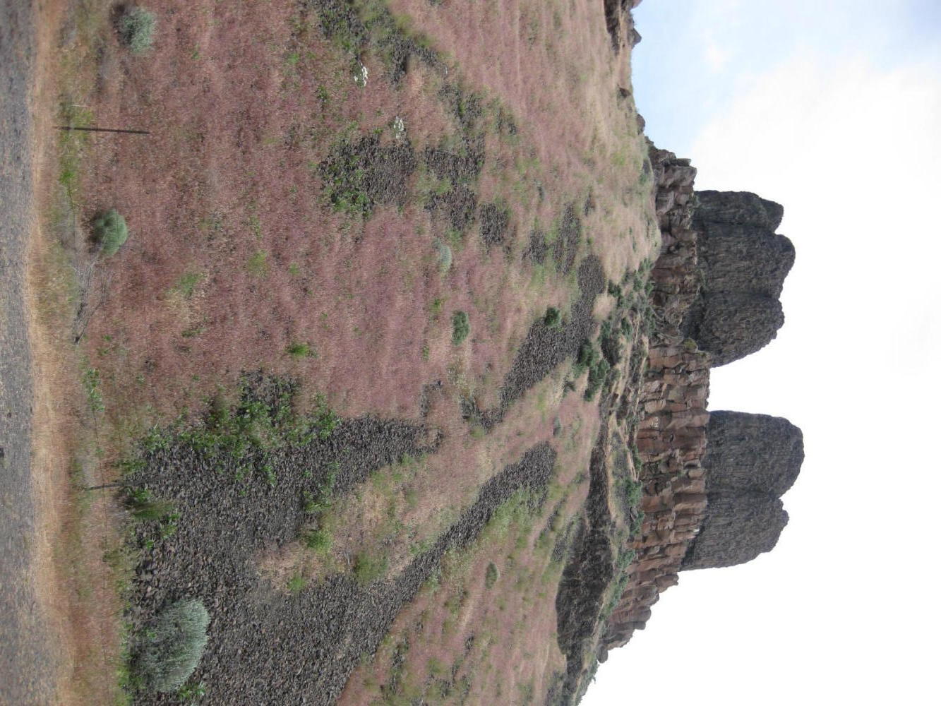
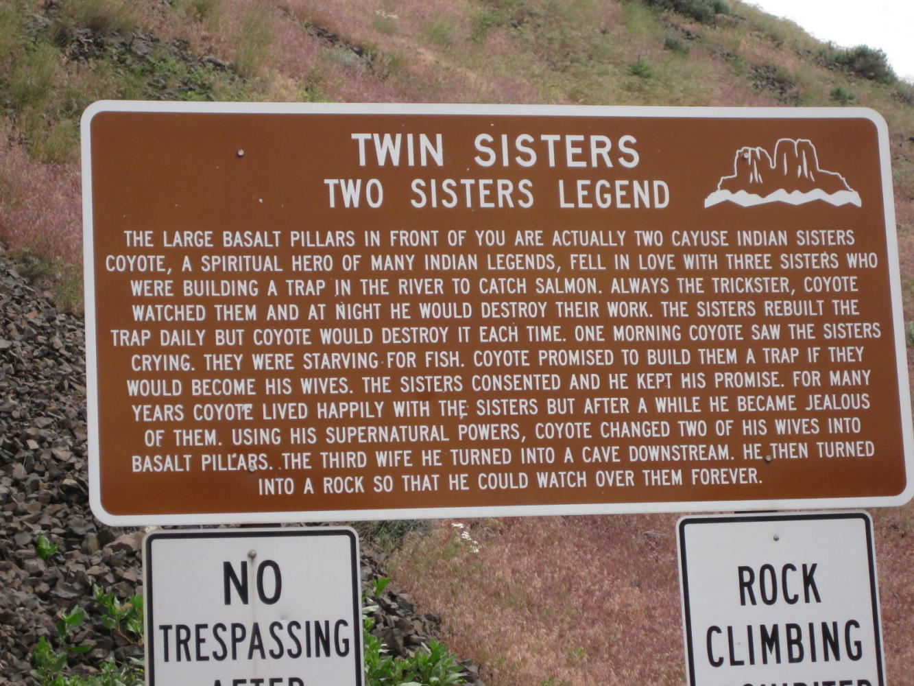
The Wallula Gap is a narrowing in the Columbia valley. Floods from Glacial Lake Missoula flowed through here and carved the steep sides. It also left behind features like "the sisters"
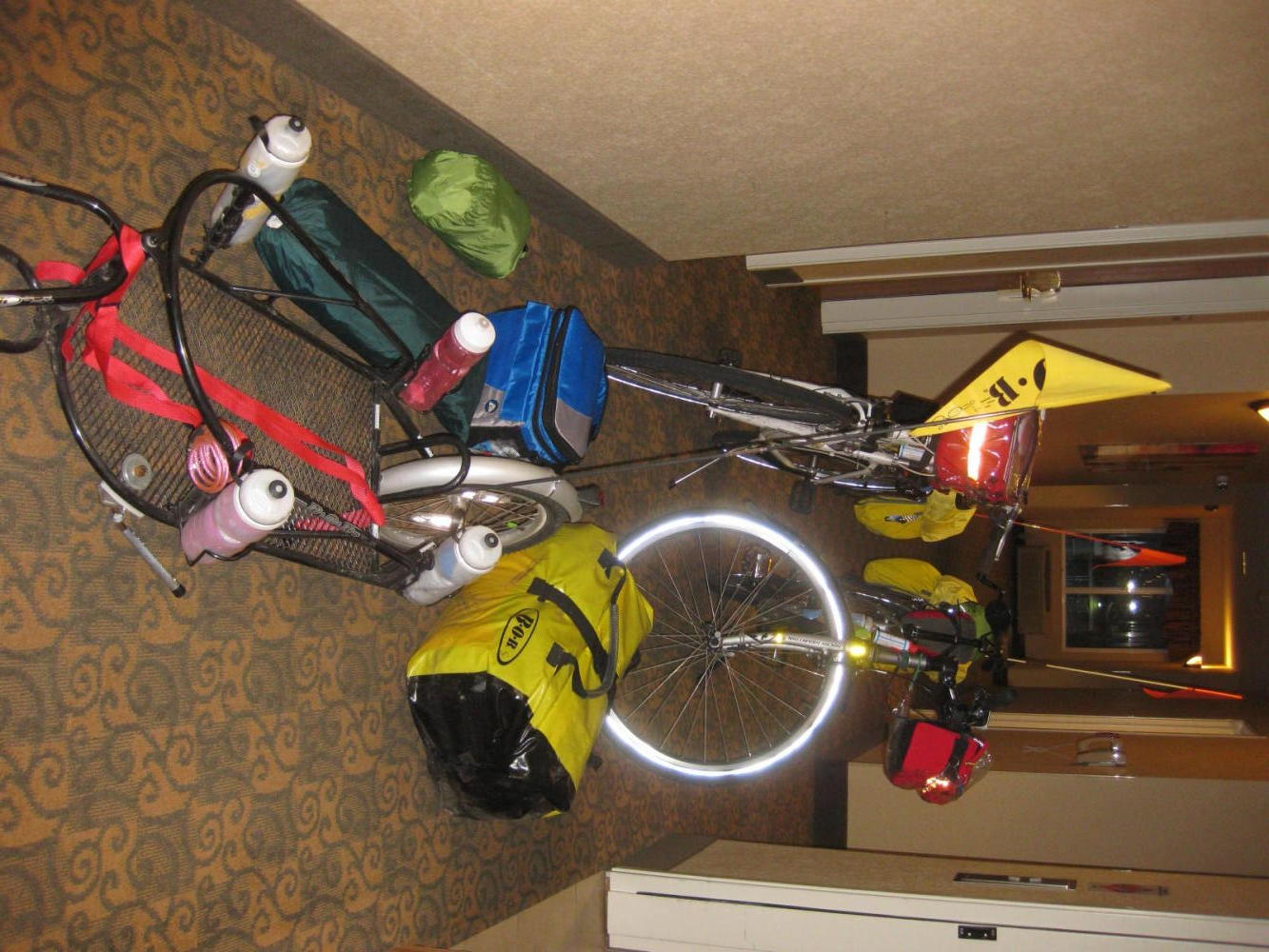
Our objective for the day had been Touchet, half way from the River to Walla Walla. However everyone in Touchet denied that there was anywhere where we could even stealth camp. The RV Park we had originally identified was way west, and we passed it too early to stop.
So, rather than truly "stealth" camp we made the decision at 5 p.m. to press on to Walla Walla. We knew we could hop into a motel there, allowing us to end the day late. So we downed two chocolate bars, which should have been enough fuel for the next 25 km. For good measure, we added one of those sketchy fried items so common in US service stations. Dodie declared she was ready and away we went.
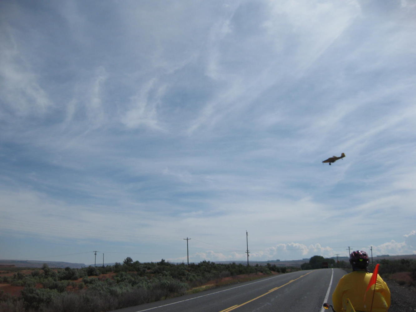
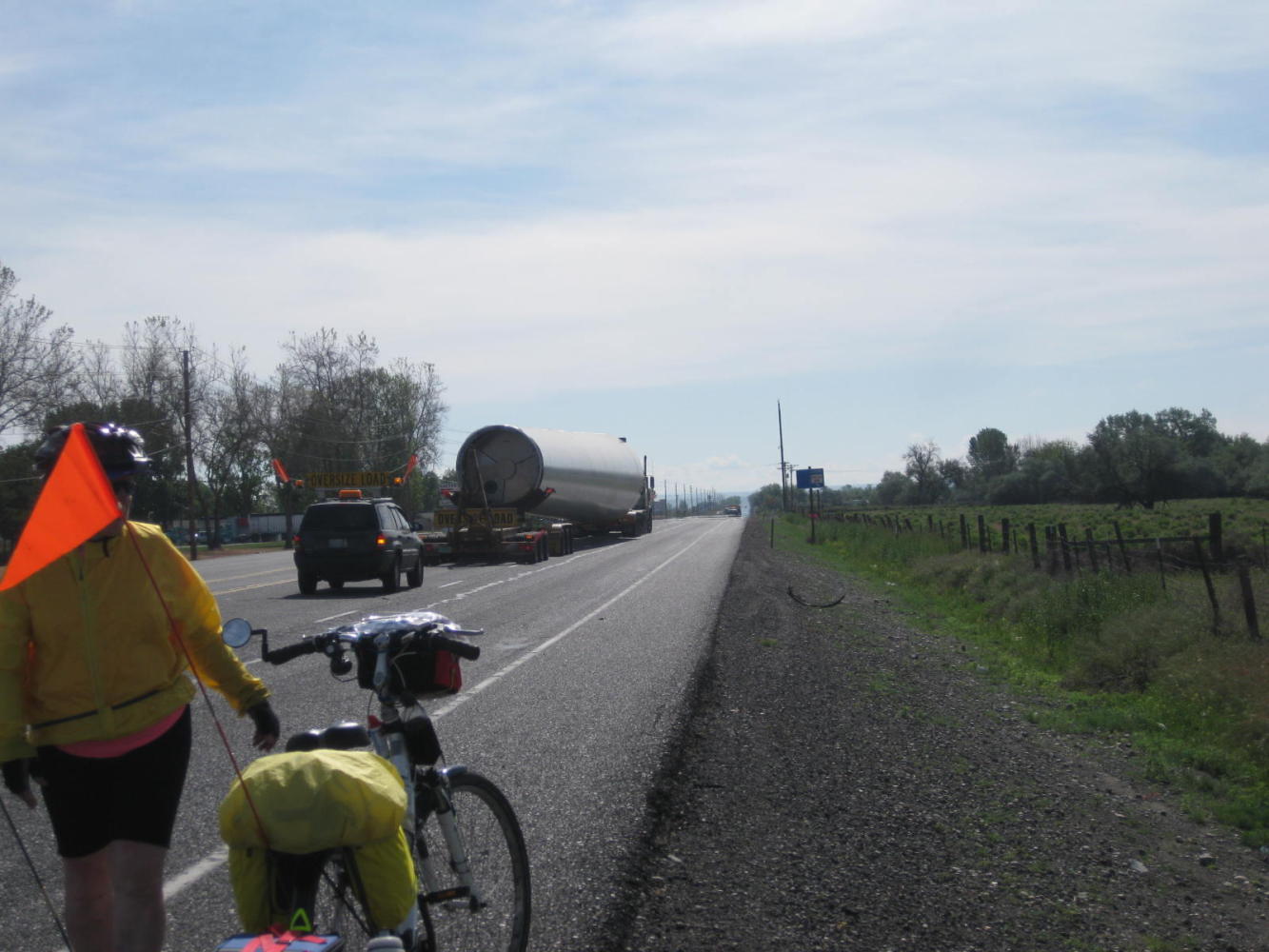
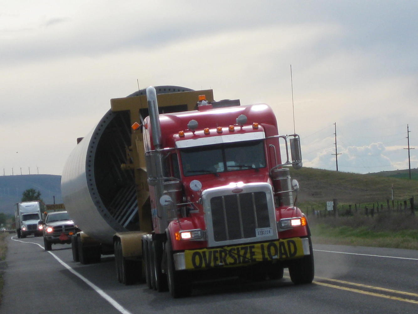
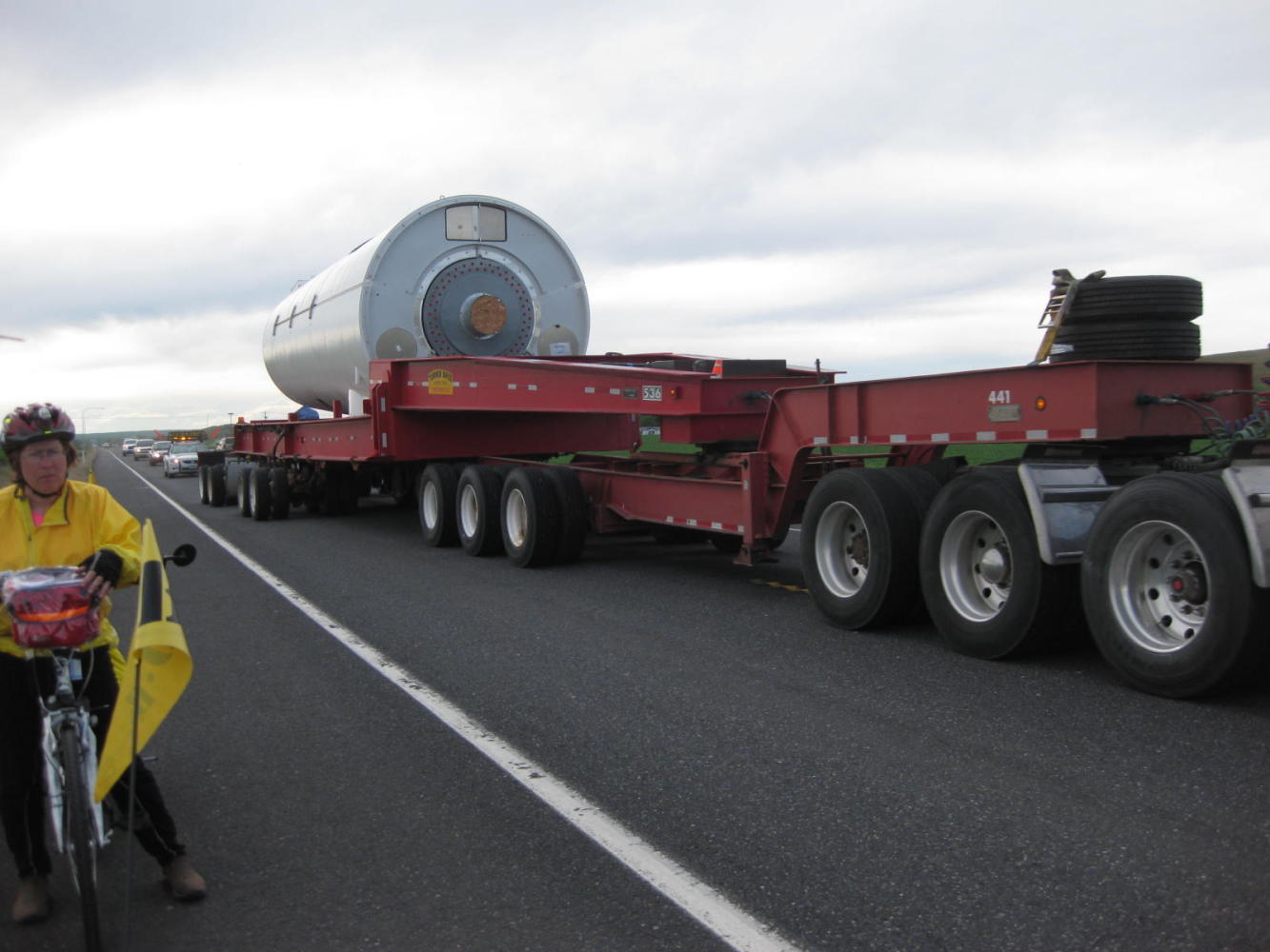
Several times we were passed by processions comprising a lead car, a wide load, a trailing car, and then a pile of regular drivers who had been held up by the wide load. The loads were parts for wind turbines. At first I insisted the white cylinders were parts for "rocket ships", but the long elegantly curved blades are unmistakable. In each case the lead cars beeped repeatedly at us, as if we could cower any further over to the side. Then the semi with the giant part would blow by at full speed, usually with no regard to the effect on us or on approaching drivers. Dodie blasted them with her air horn, but unlike other dogs they seemed unaffected.
| Heart | 0 | Comment | 0 | Link |
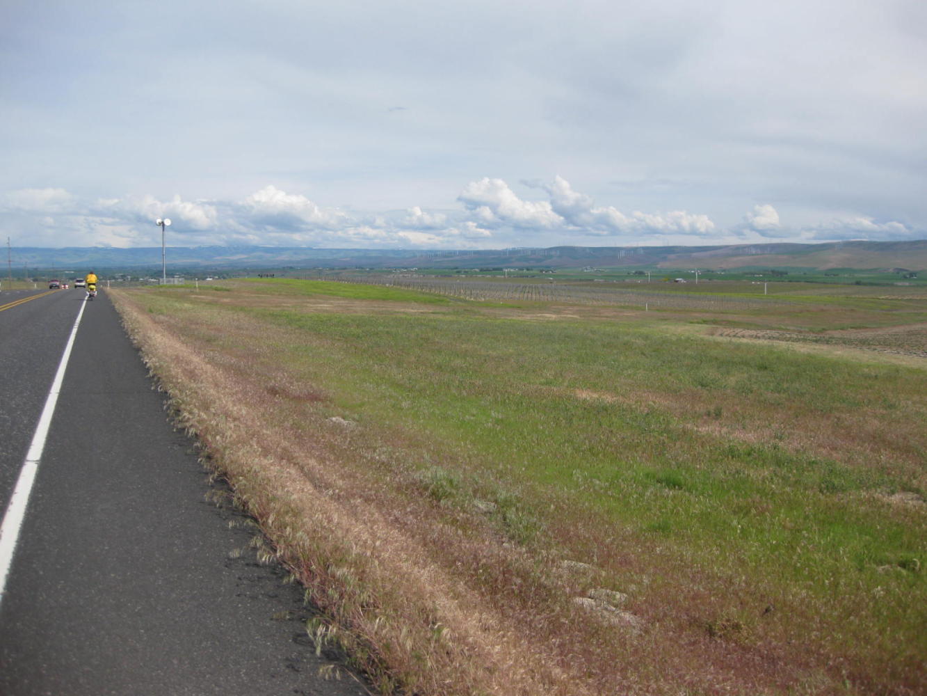
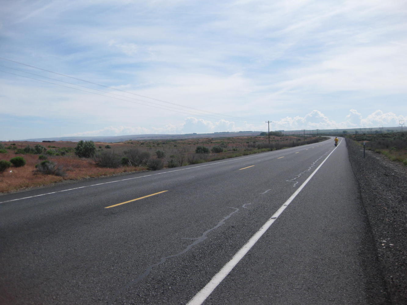
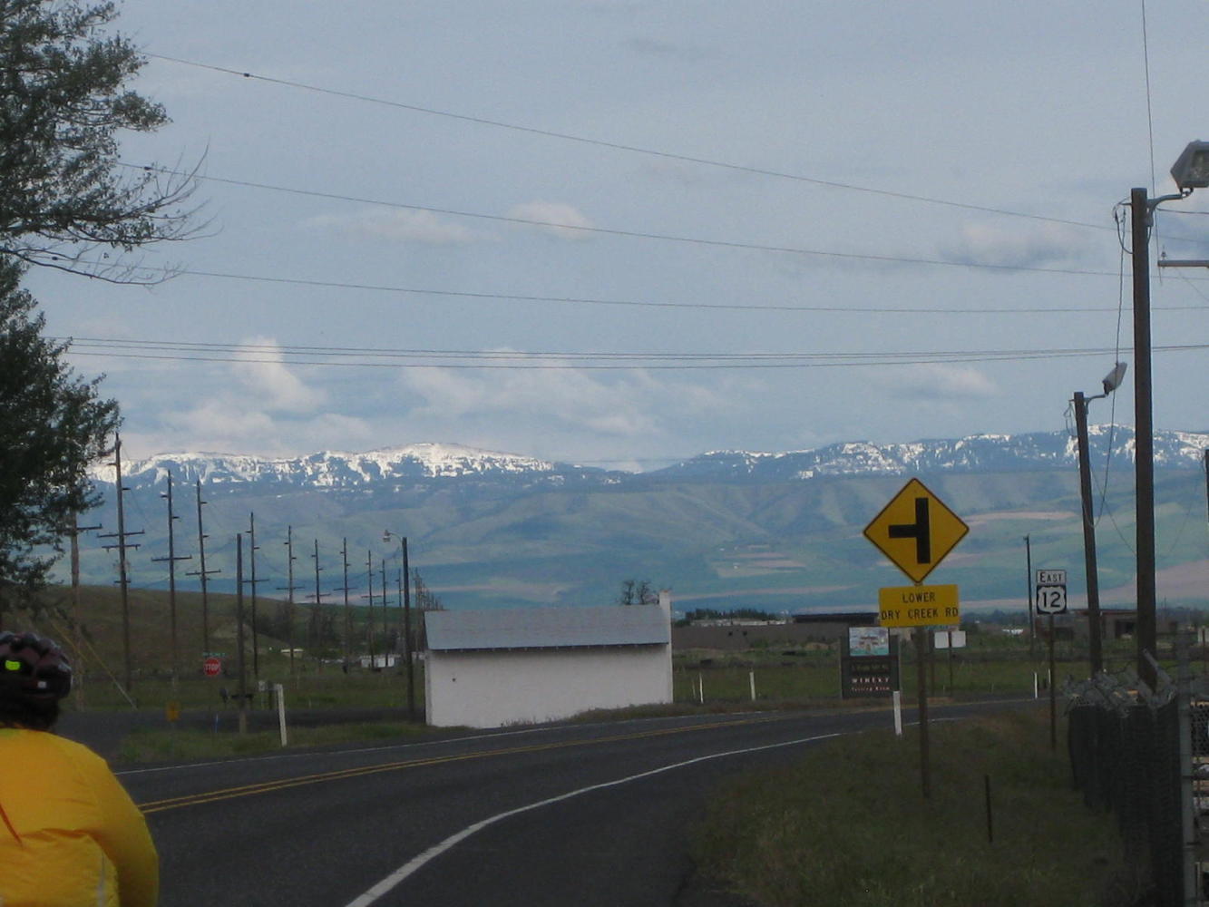
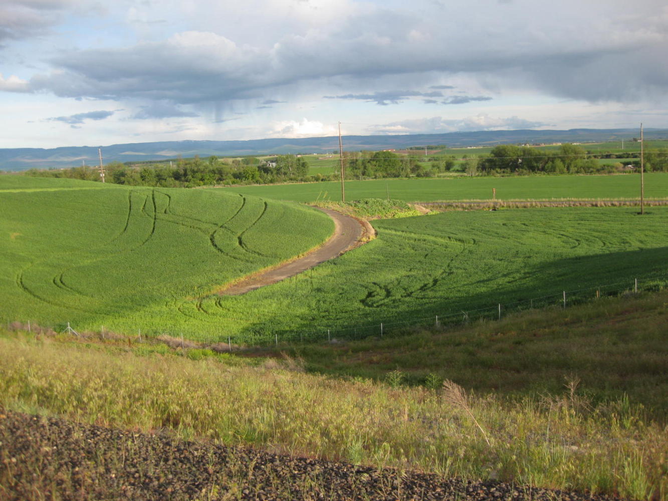
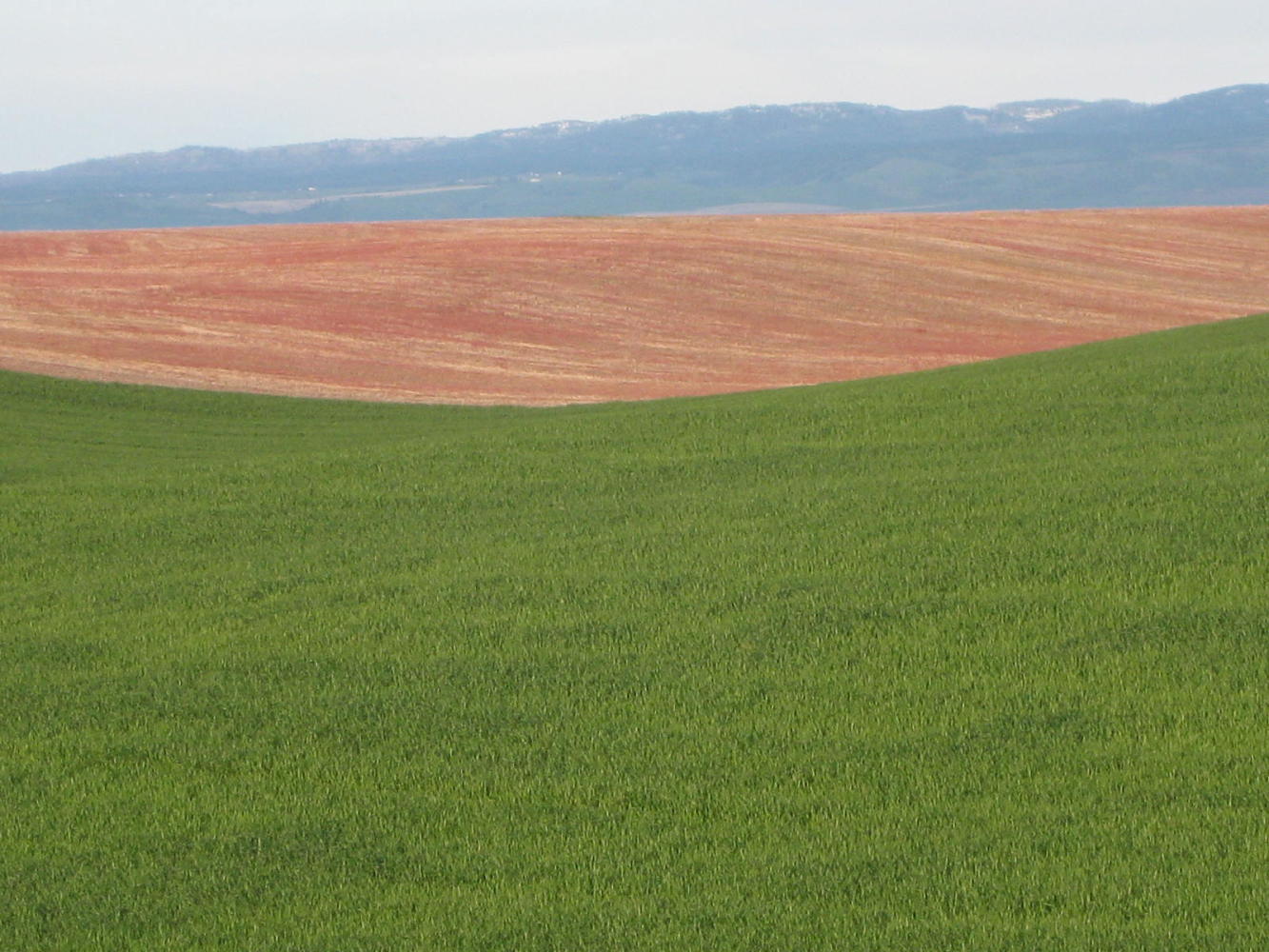
The road to Walla Walla, though, is super.
| Heart | 0 | Comment | 0 | Link |
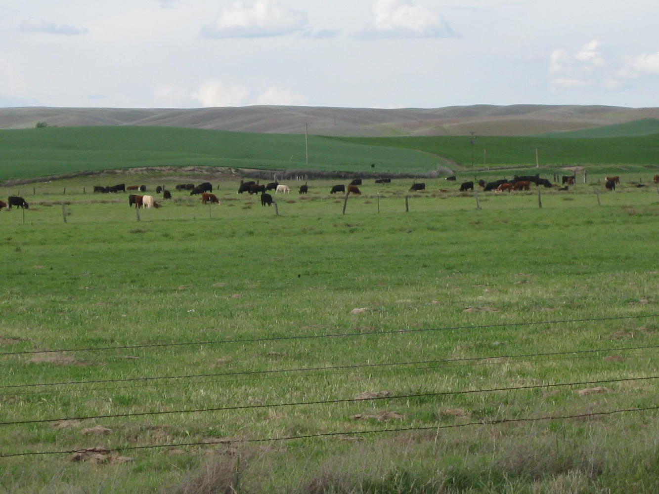
It is reasonably flat and with a wide shoulder. Best, the surrounding farm land is spectacular. Look at my last shot below. Is that art, or what?
The decision to press on to Walla Walla was a risky gamble. Any major hills or bad weather would have left us stranded on the highway in the dark. At this early stage in the trip, 100 km (with headwind, not tailwind) really is a bit much. Dodie ran out of fuel quite quickly. There comes a point in the day when throwing in carbs does not cause any increase in your energy, and even an apple did not do much to speed Dodie down the road. She did carry on, though, but slowly. Highway 12 in this area has no exits, and no place to pop a tent, so there is no option but to continue. The sun was almost down when we got to Walla Walla. Dodie had made it, but only just.
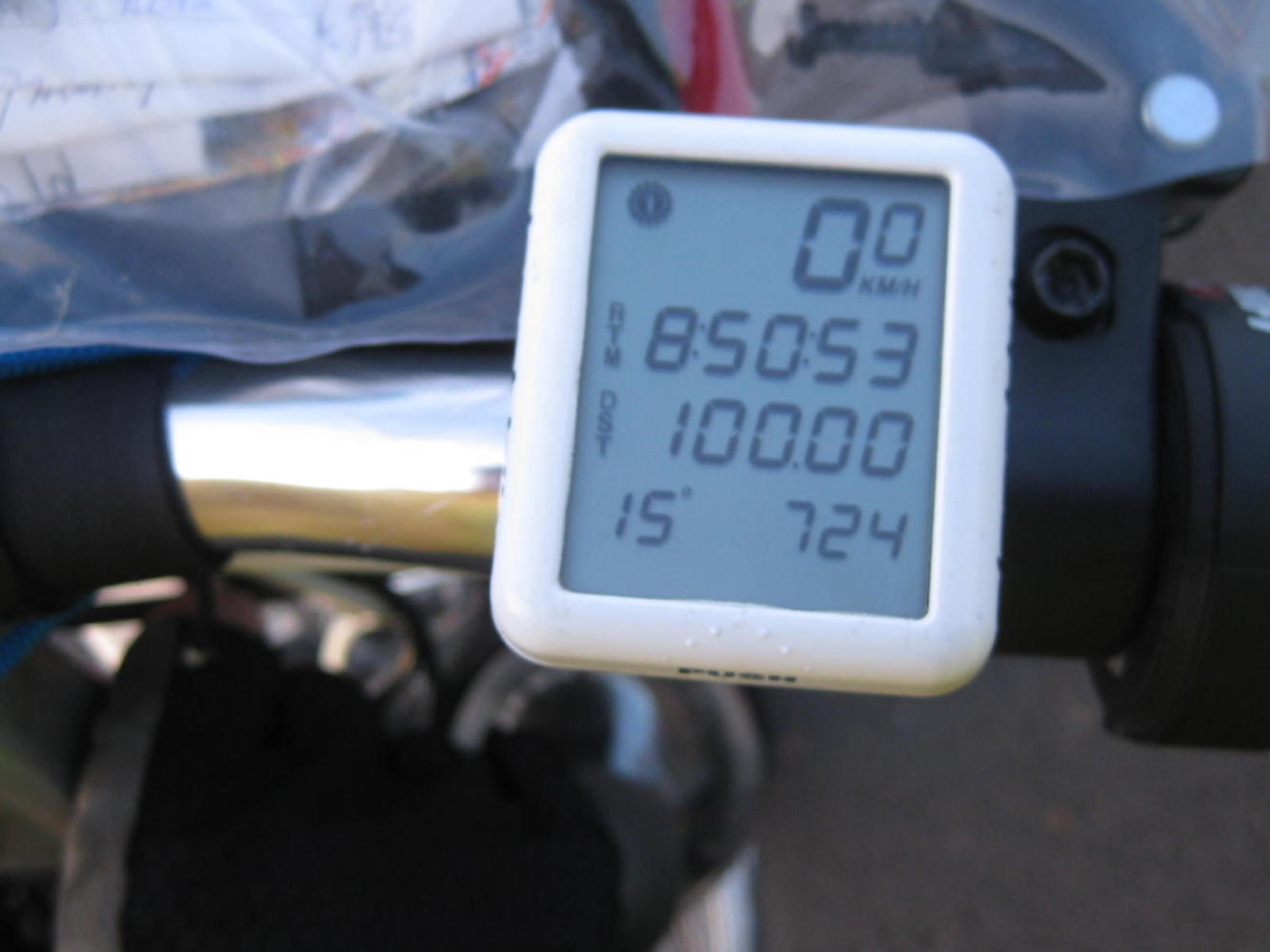
Today's ride: 105 km (65 miles)
Total: 1,082 km (672 miles)
| Rate this entry's writing | Heart | 0 |
| Comment on this entry | Comment | 0 |