May 14, 2011
Day 14 White Salmon, Washington to Biggs, Oregon: In Which We Make the Leap (not a moment too soon!)
In our frequent trips by van from the Coast to Montana on I-90 we never fail to closely observe the changing ecosystems, from coastal rainforest to pine forests and sage desert behind the Cascades to Spruce on the passes in Idaho to the semi arid low mountains near Missoula. Now, on our first time going East via the Columbia Gorge, we see it all again.
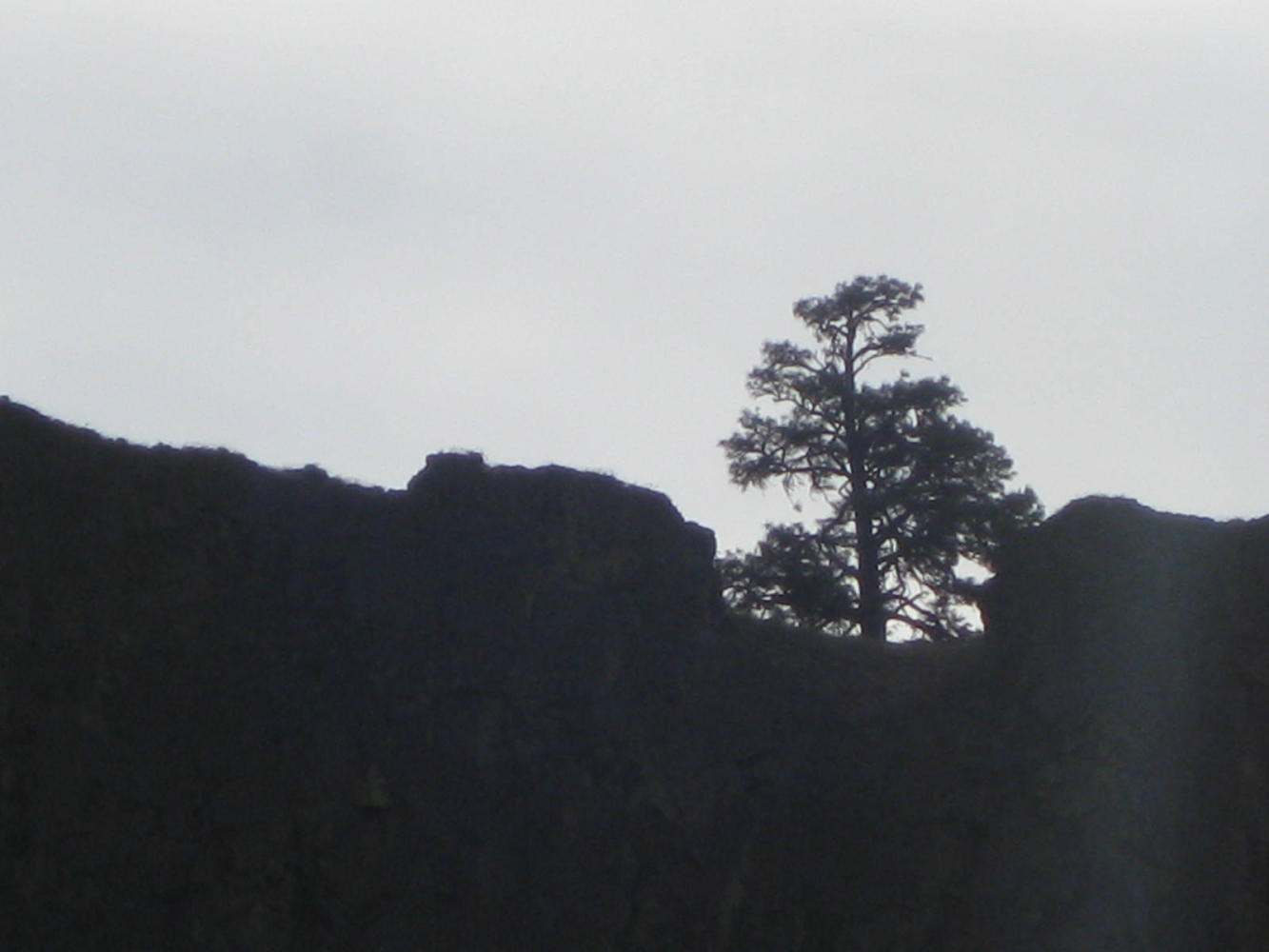
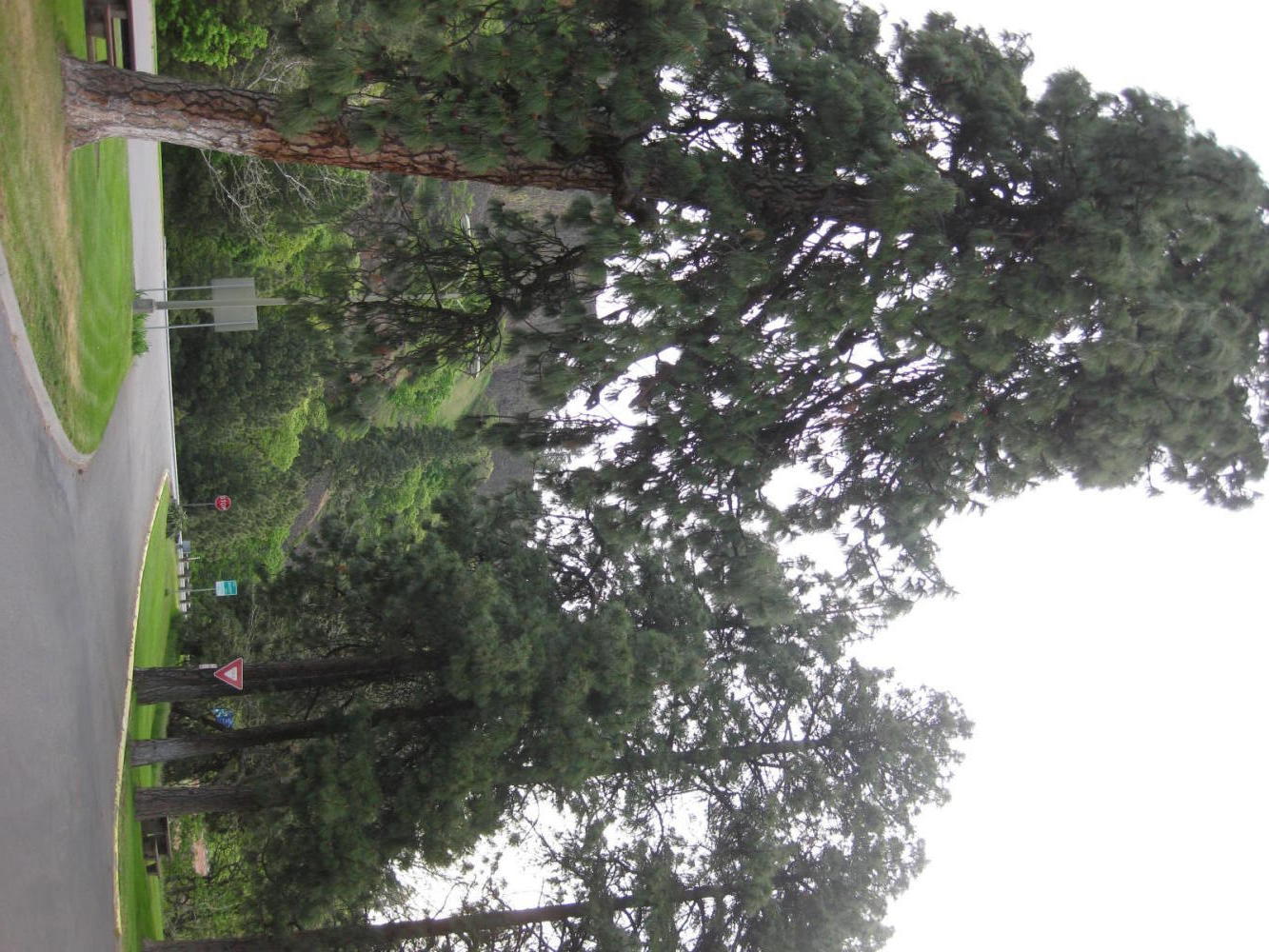
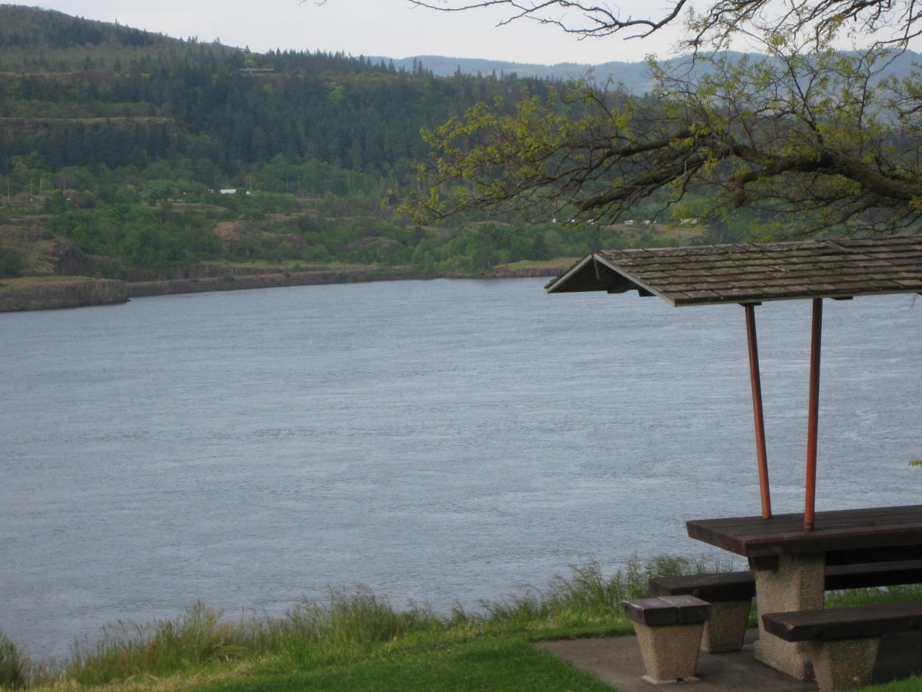
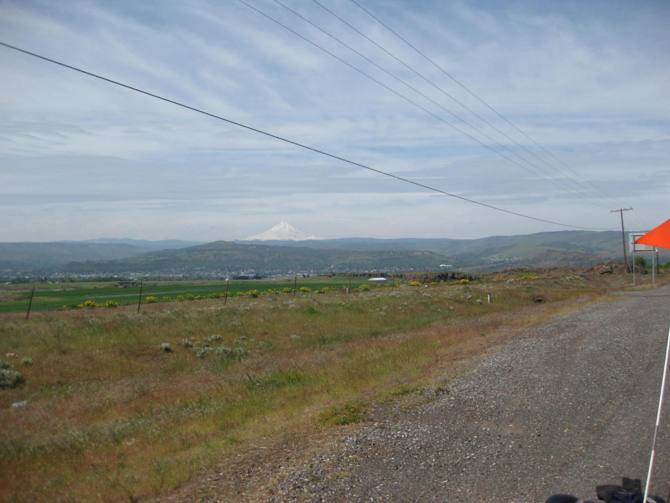
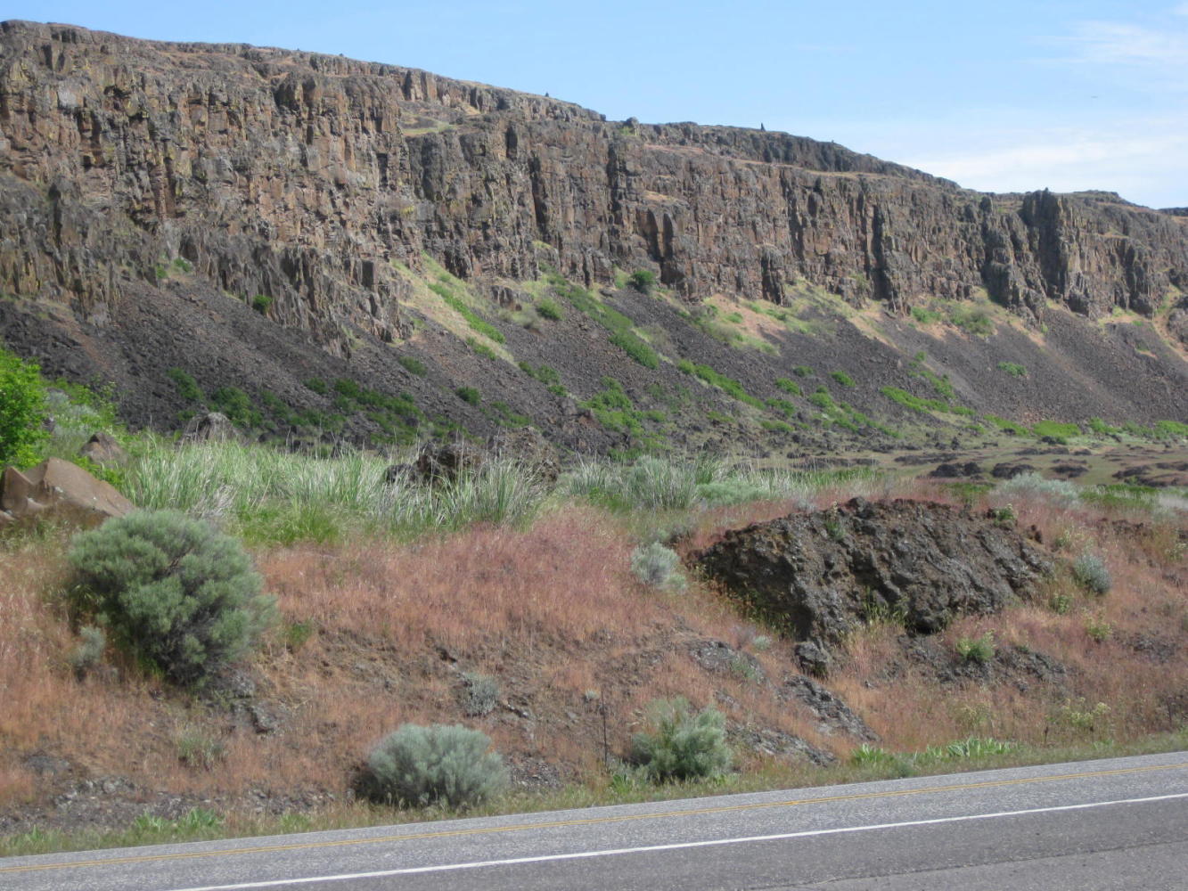
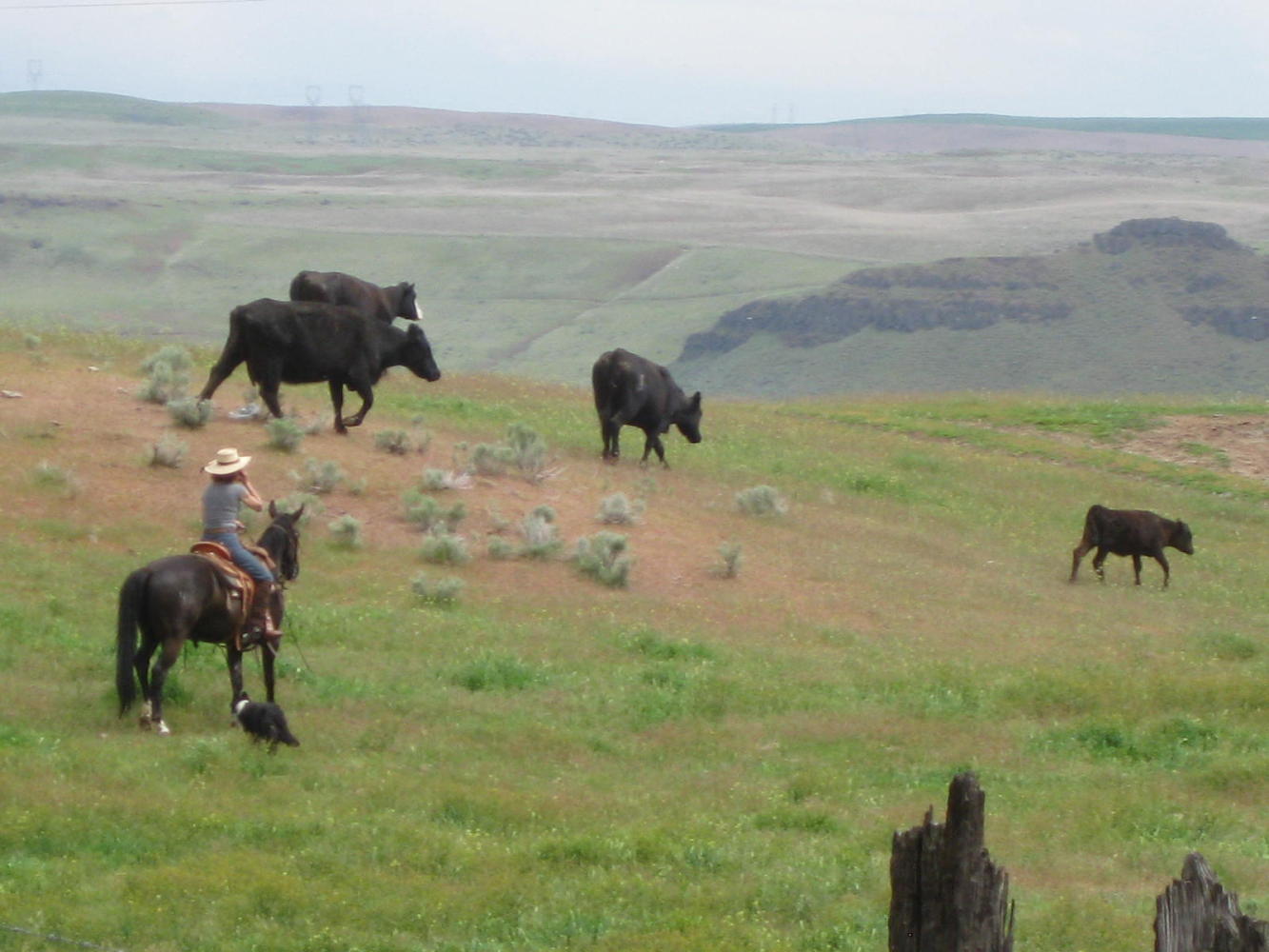
We started out still on the "coast" at White Salmon, but by Chamberlain Lake just 15 km down highway 14 it was clear that we were in a different world. Pine trees now dominated, and the surrounding hills were partly bare. Another 15 km and I exclaimed "wha happened? Are we in Arizona?". The Gorge, too, opened out and we could see up and down it for miles. The delicate colour tones of the hills, not to mention all white Mount Hood peeking over the top, were far too difficult for our little camera to capture. We ran in to real cowboys (and girls) and those fat squirrels that are, or are related to, the Franklin Ground Squirrels found in our own Rockies.
The road from White Salmon started off without crazy hills and with a usable shoulder. Just down the road, in Bingen, we stopped at McDonalds. Dodie as usual went for oatmeal, and I for the McMuffin. These McMuffins seem to have been shrinking, something that I usually view favourably as a diet ploy. But this time I had to buy a second one to get enough fuel on board for the day. In general we have found that at an independent restaurant you get more food and cheaper than at the chain.
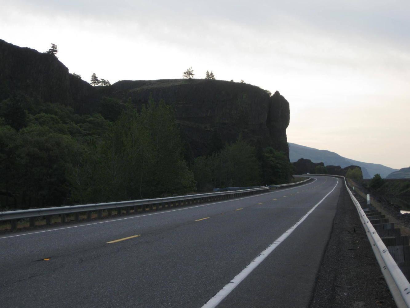
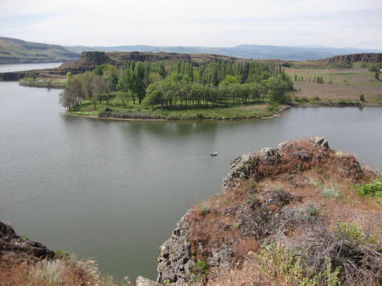
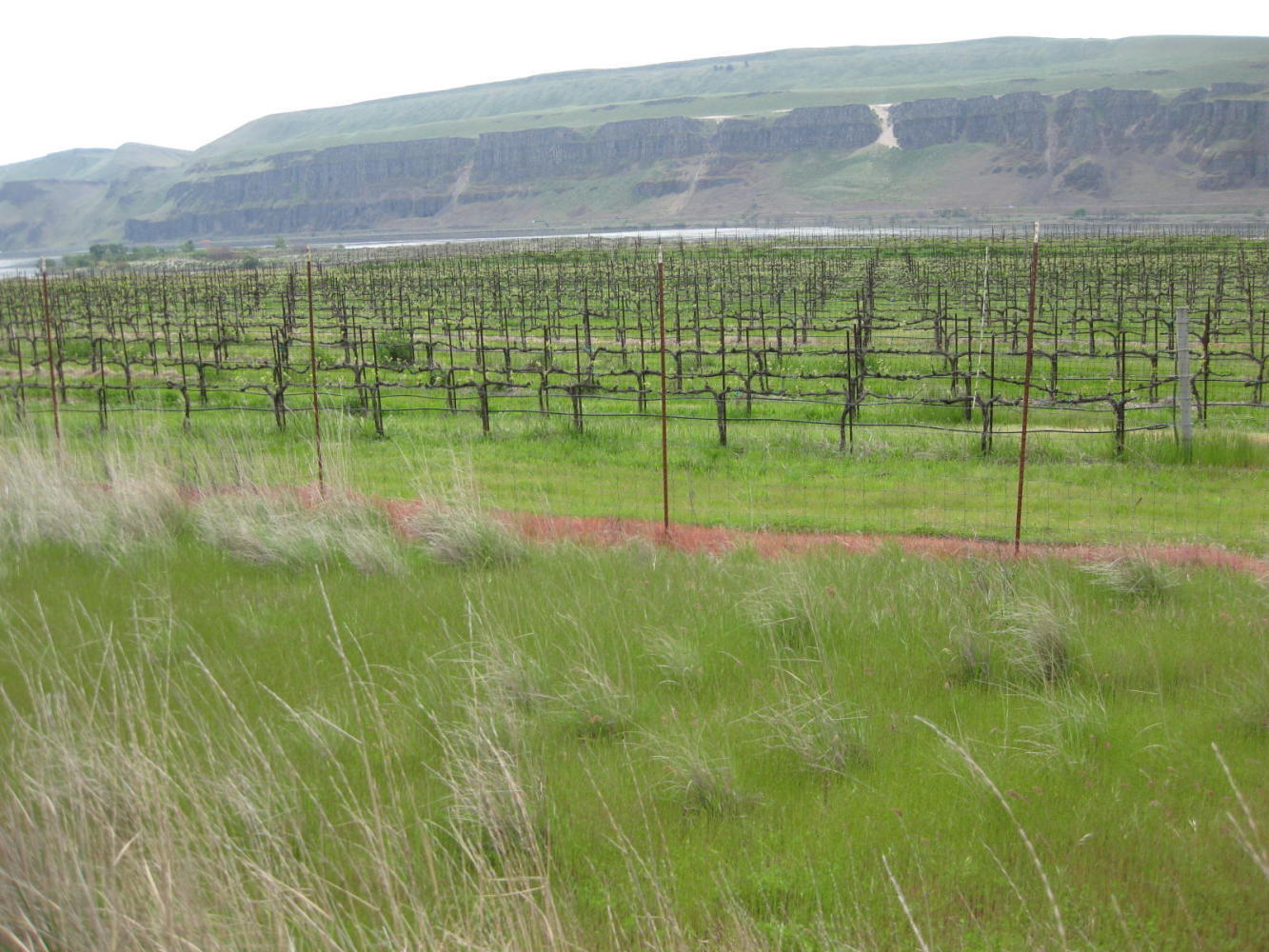
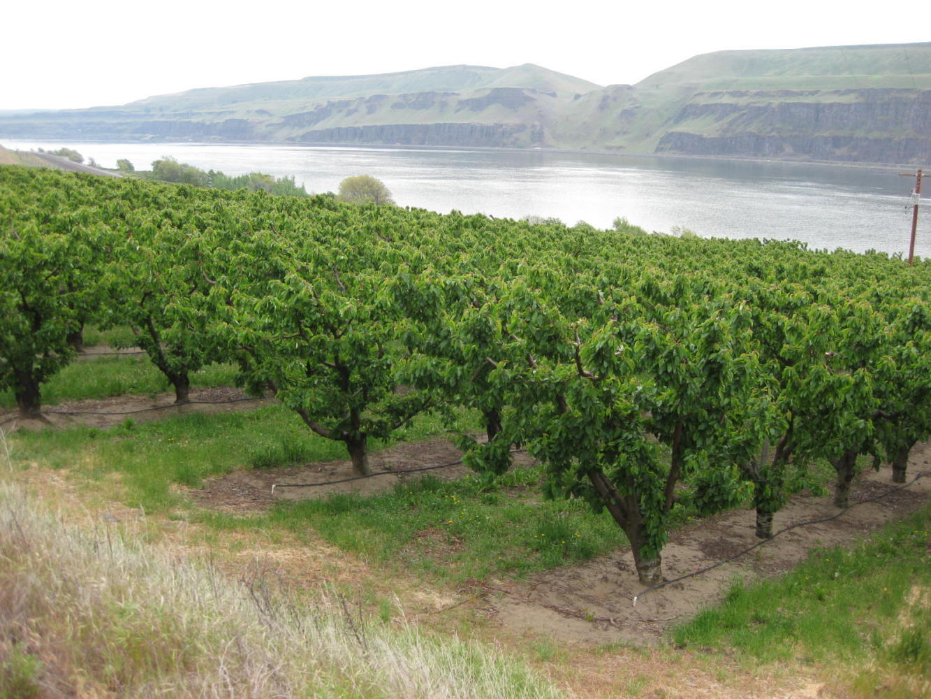
Beyond Bingen, for 30 km, the road remained without unreasonable hills and with a shoulder that was not luxury wide but still ok. The temperature warmed up and we began to really enjoy ourselves. The changing ecosystem brought lupins, sage, and pine and the views of the River were spectacular. A barge going upriver overtook and passed us. Sure, join the club!
| Heart | 0 | Comment | 0 | Link |
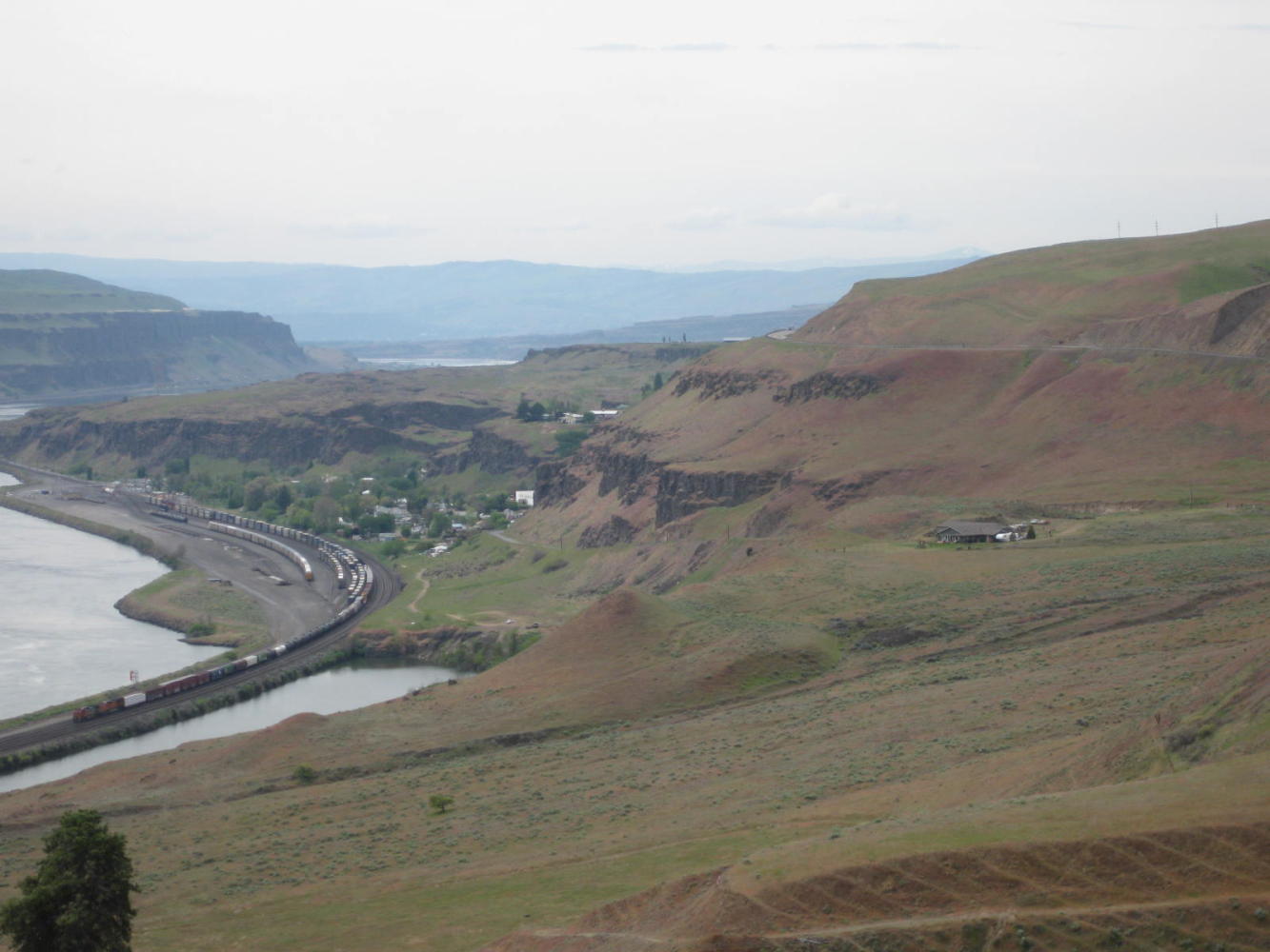
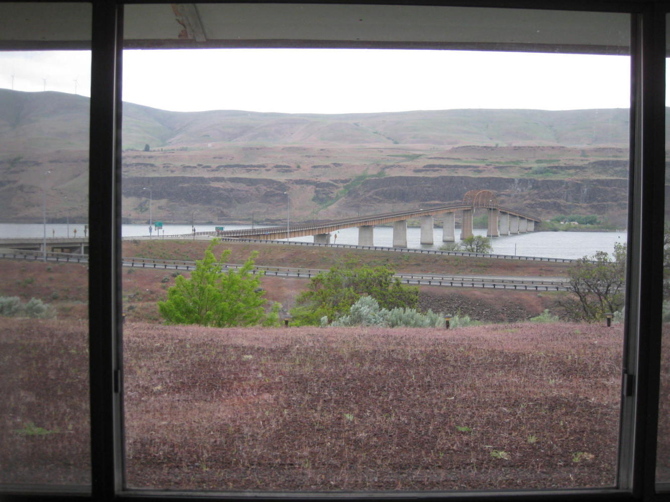
The road lost its manners, though, about 15 km out of Wishram. About there it began an ascent into the hills overlooking the River. It climbed 200 meters and then undulated up and down, but mostly up. We could easily look across the river and see the dead level I-84 following the shoreline. But for now we were still glad of the relatively traffic free and quiet road, and could anticipate somne R&R soon in Wishram. We, of course, knew nothing of where or what Wishram was, but hey it earned a dot on our Washington State map, didn't it?
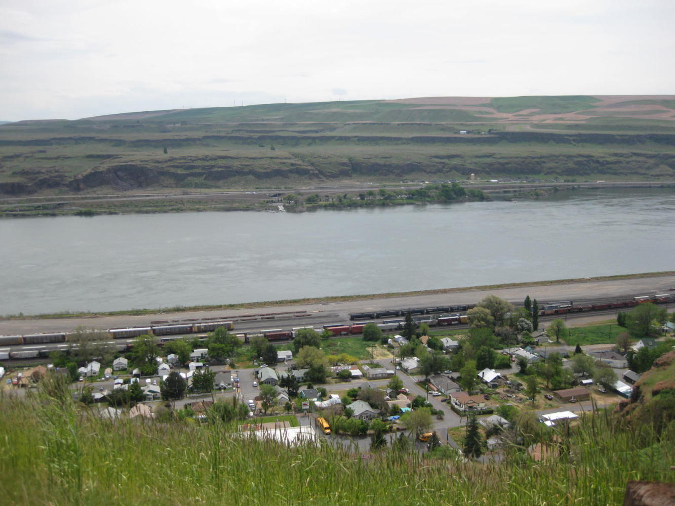
The GPS talked about a school and train station in Wishram, but it was strangely silent about any Starbucks (or anything like that.) We found out why, as our road soared high above the town, and we could look down on each building, none of which had any R&R about them.
| Heart | 0 | Comment | 0 | Link |
| Heart | 0 | Comment | 0 | Link |

| Heart | 0 | Comment | 0 | Link |
Oh well, we resigned ourselves to targeting the next item on the map, Maryhill. We knew Maryhill had a museum, a winery, and the "Stonehenge" memorial, so lots of other R&R could not be far behind. Meanwhile we contented ourselves with climbing hill behind hill, while always in sight of the flat road on the other side of the river.
We had planned to stay at Maryhill State Park while enjoying the museum and other tempting sounding attractions. But the winery and museum are isolated sites high on the ridge, and when the GPS said we had arrived at Maryhill itself, we looked around and said "huh?". Yes, said Garmin, you are within 80 meters of it. Then we noticed the gas station up the hill - Maryhill!
Someone stopped to offer directions, and he turned out to be a cyclist with a station wagon full of his bikes, that had been serviced in Portland. From him we confirmed the truth - not only does Maryhill have little to offer, but there are no services on hwy 14 for a further 112 km after it. At our present speed that is three days!! The State Park, also, is at the River's edge, at the bottom of a very steep 200 meter hill.
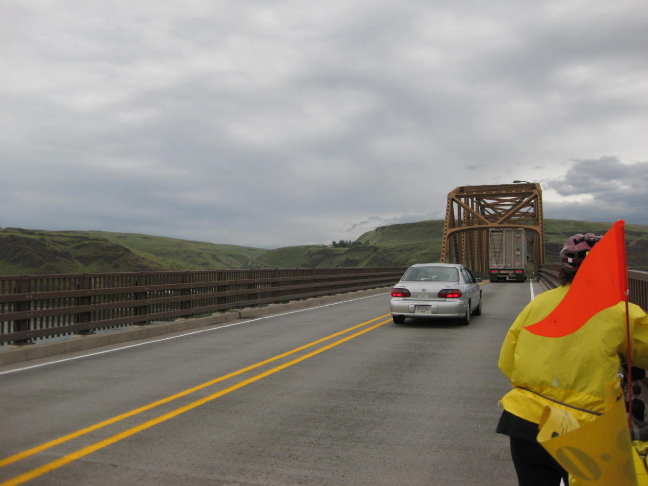
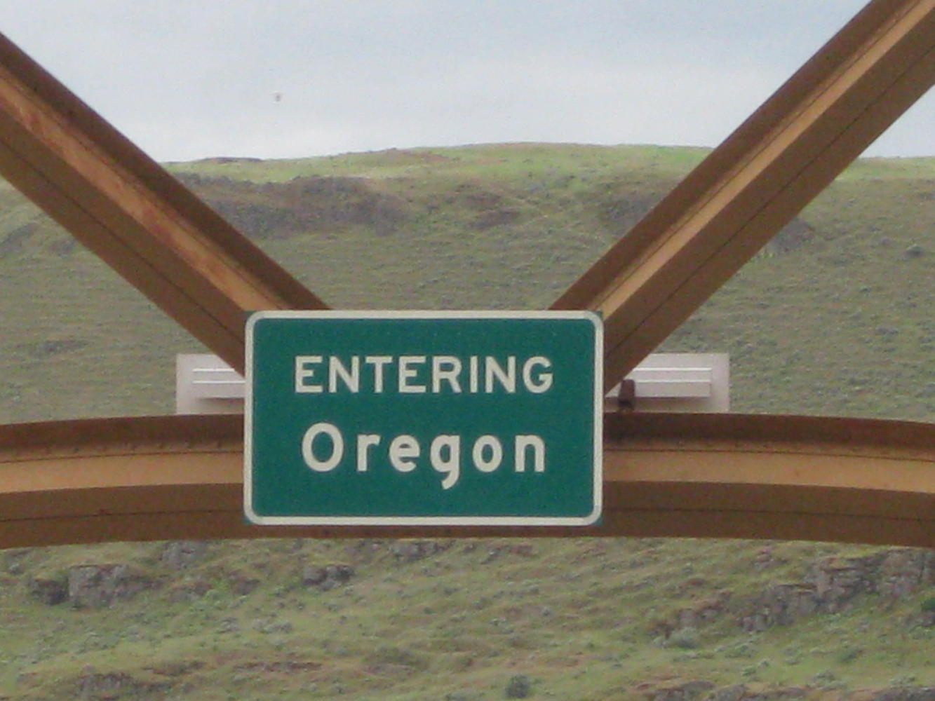
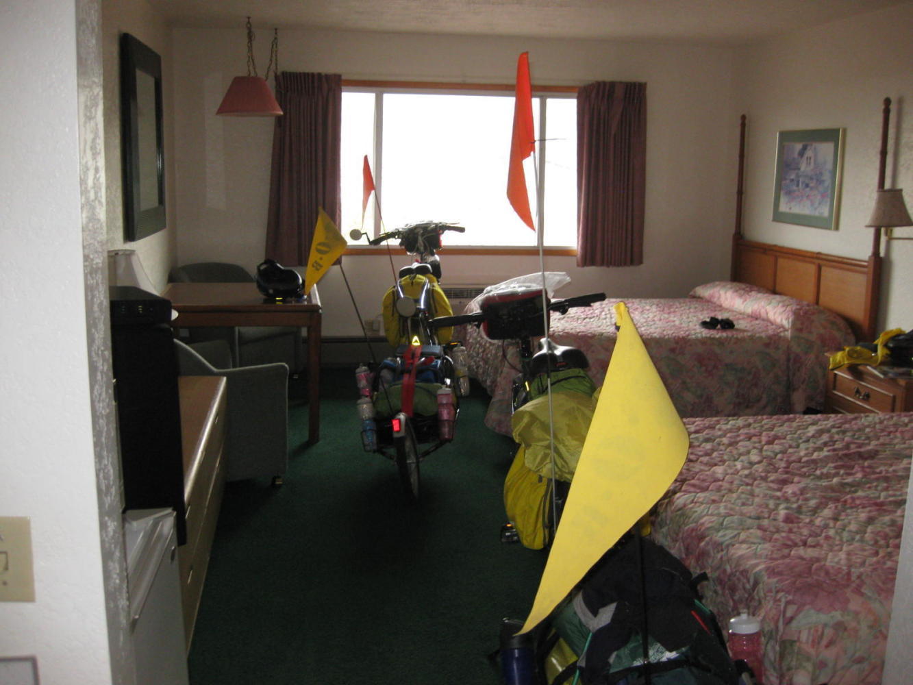
So instead of descending to the Park and ascending back up next morning into 100 km plus of nothing, we went down the hill and hightailed it over the bridge to Biggs, Oregon. Our cyclist had warned "it's no resort" but we checked in to Dinty's Motor Inn, and it was a resort to us - a last resort. No sooner had we opened the door to our room but the heavens opened and a torrential downpour began. The bikes were safely inside, and we were dry and home free!
This side of the river is also undeveloped and we have stocked up on trail mix and stuff for the distances ahead. From here on, we expect fewer and fewer McMuffins and less internet. Assuming the rain stops sometime, we'll find out!
Today's ride: 66 km (41 miles)
Total: 855 km (531 miles)
| Rate this entry's writing | Heart | 0 |
| Comment on this entry | Comment | 0 |