May 12, 2011
Day 12 Vancouver to Beacon Rock State Park, Washington: EastBound at last!
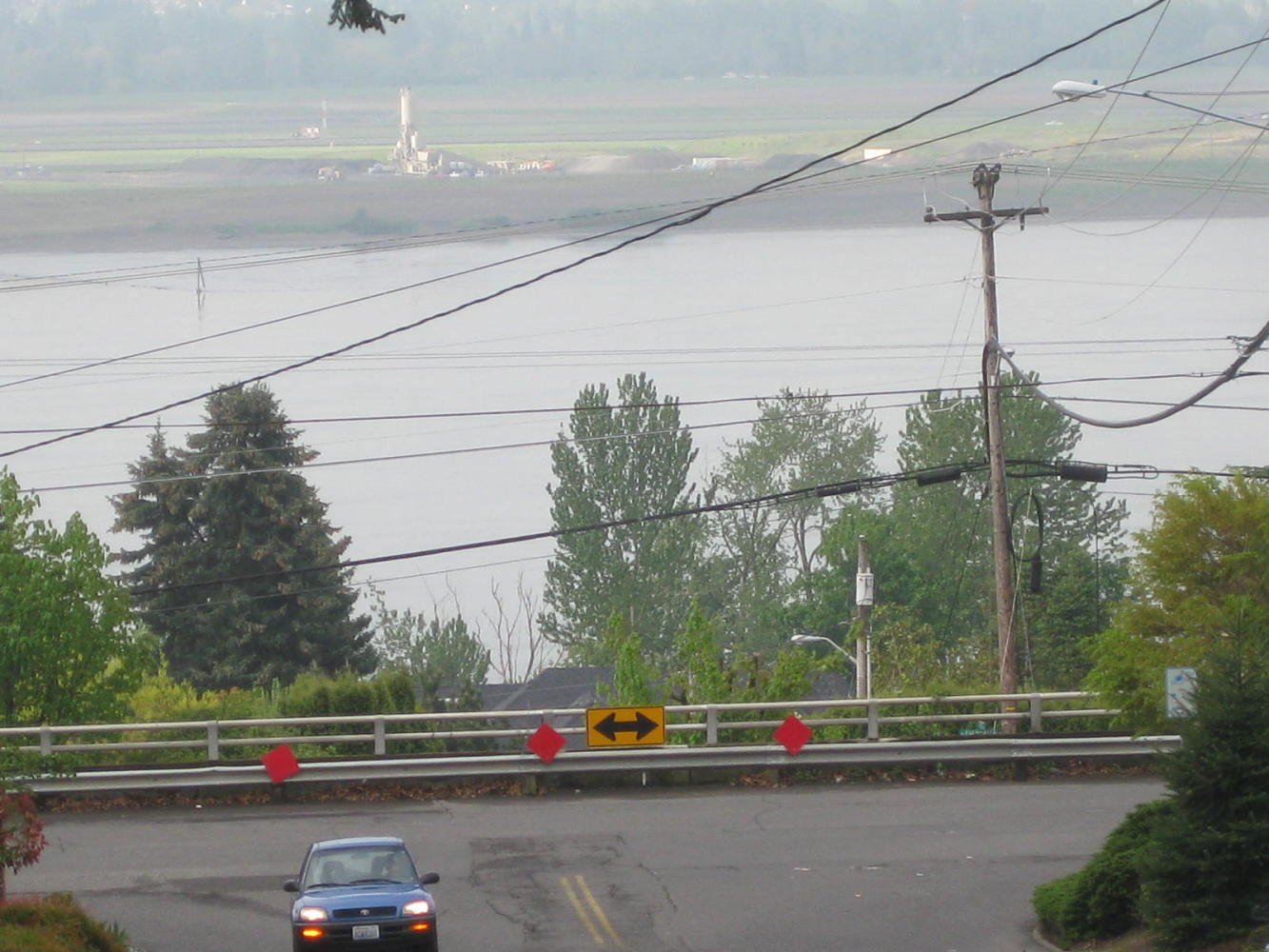
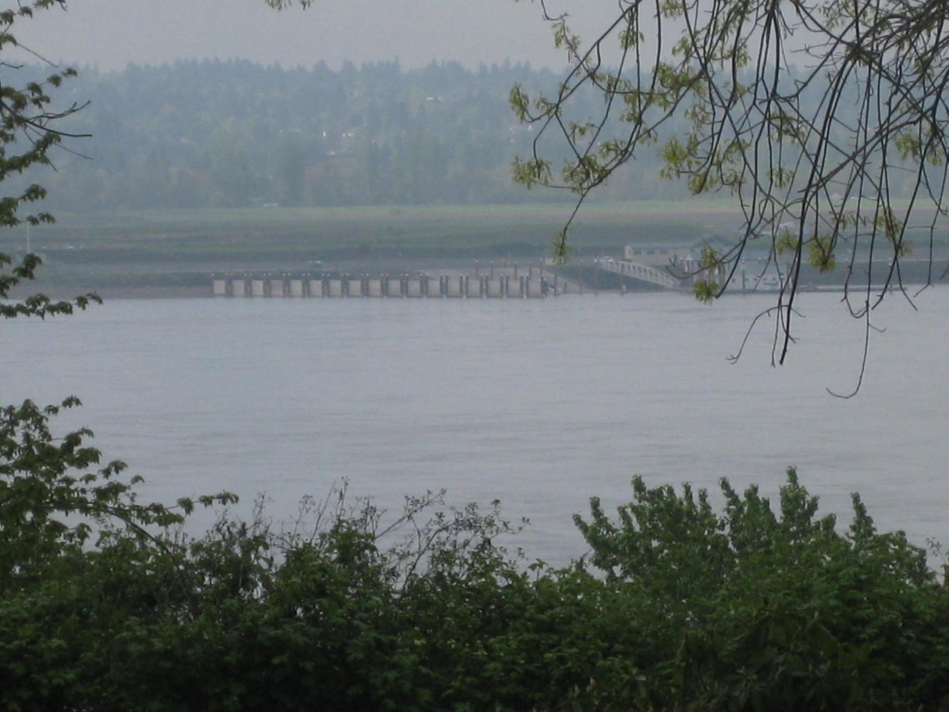
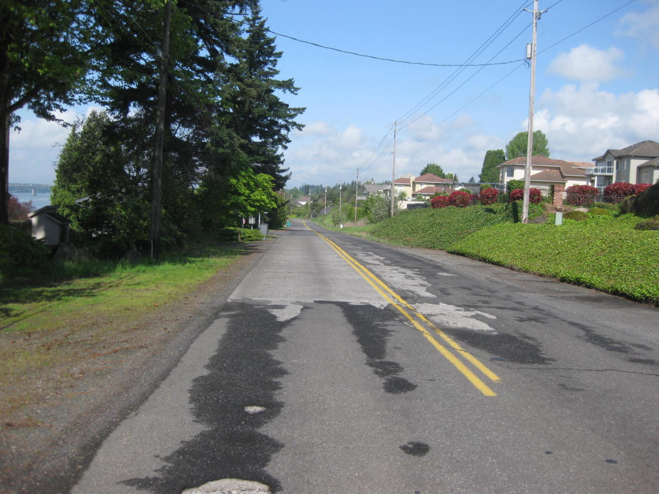
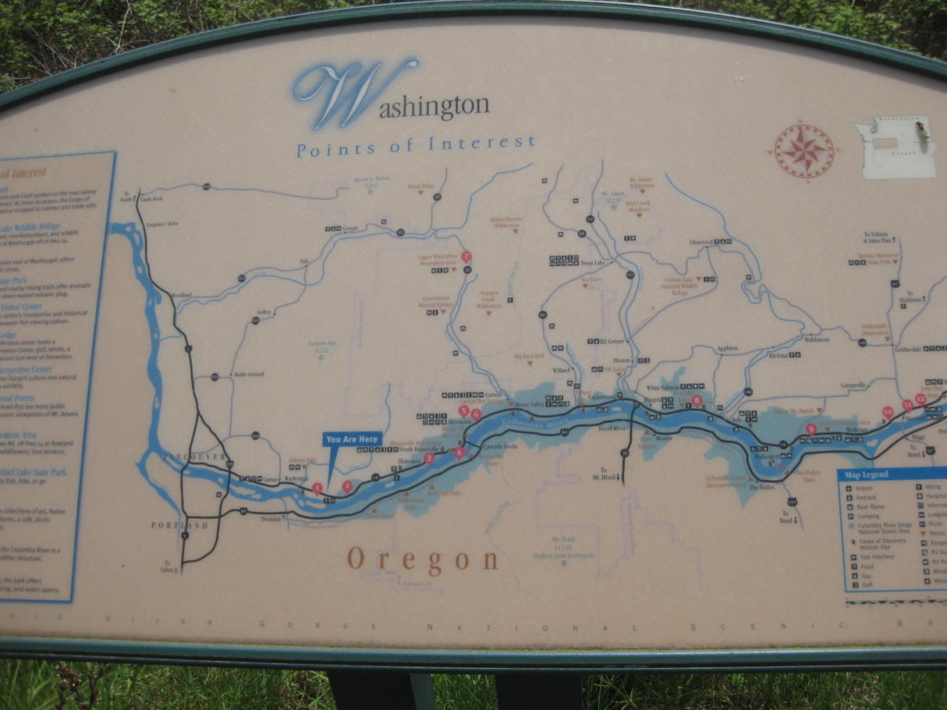
With everything dried out, and a mostly sunny day, we headed down towards the Columbia.Here is our first glimpse of the river in its east/west section.
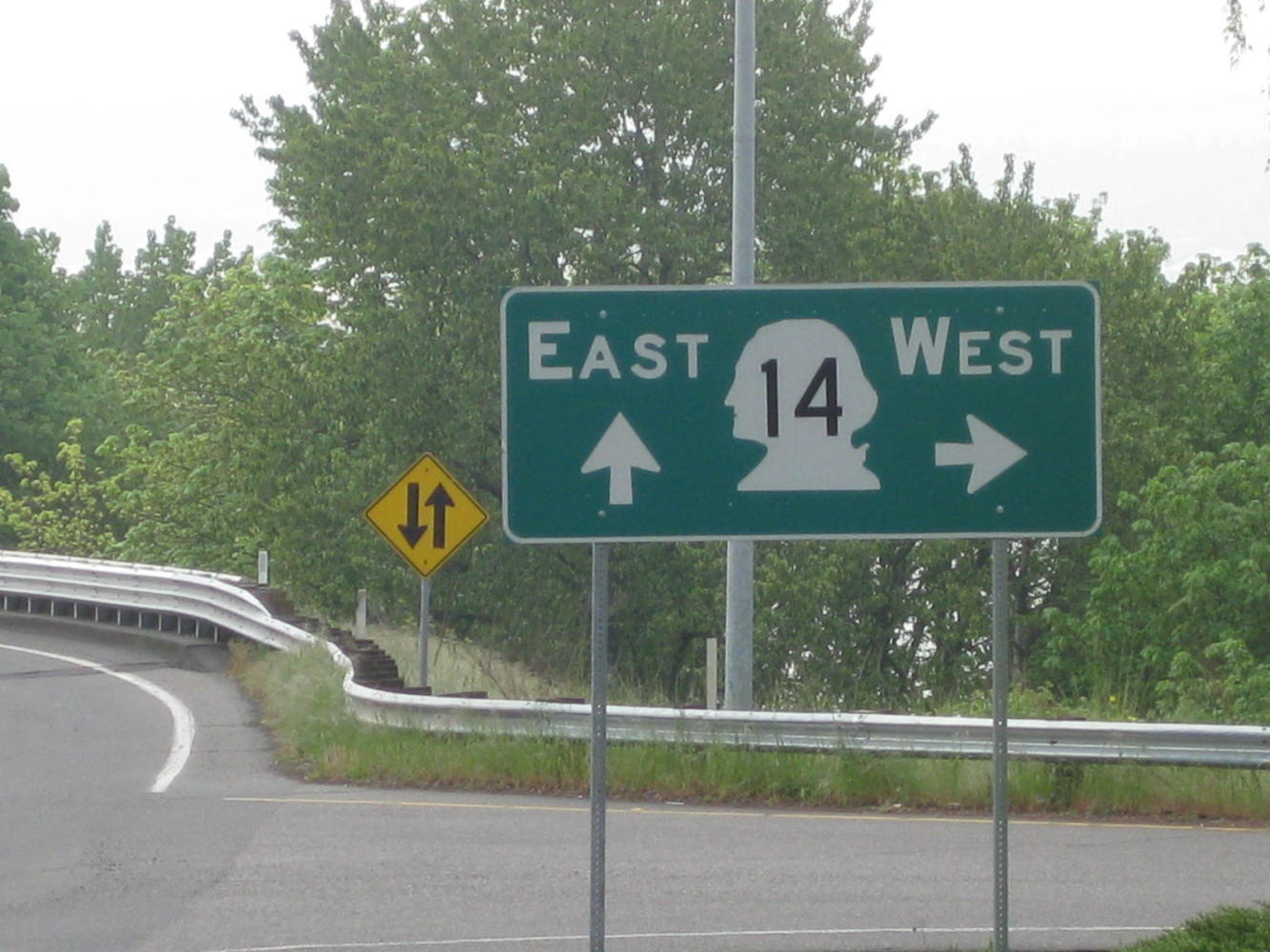
Our road from the North ended at this clear choice, and of course we chose left. We gotta go East! Anyway, that was wrong, of course, and only by going further West could we get to go East. At last, though, the true way East was revealed.
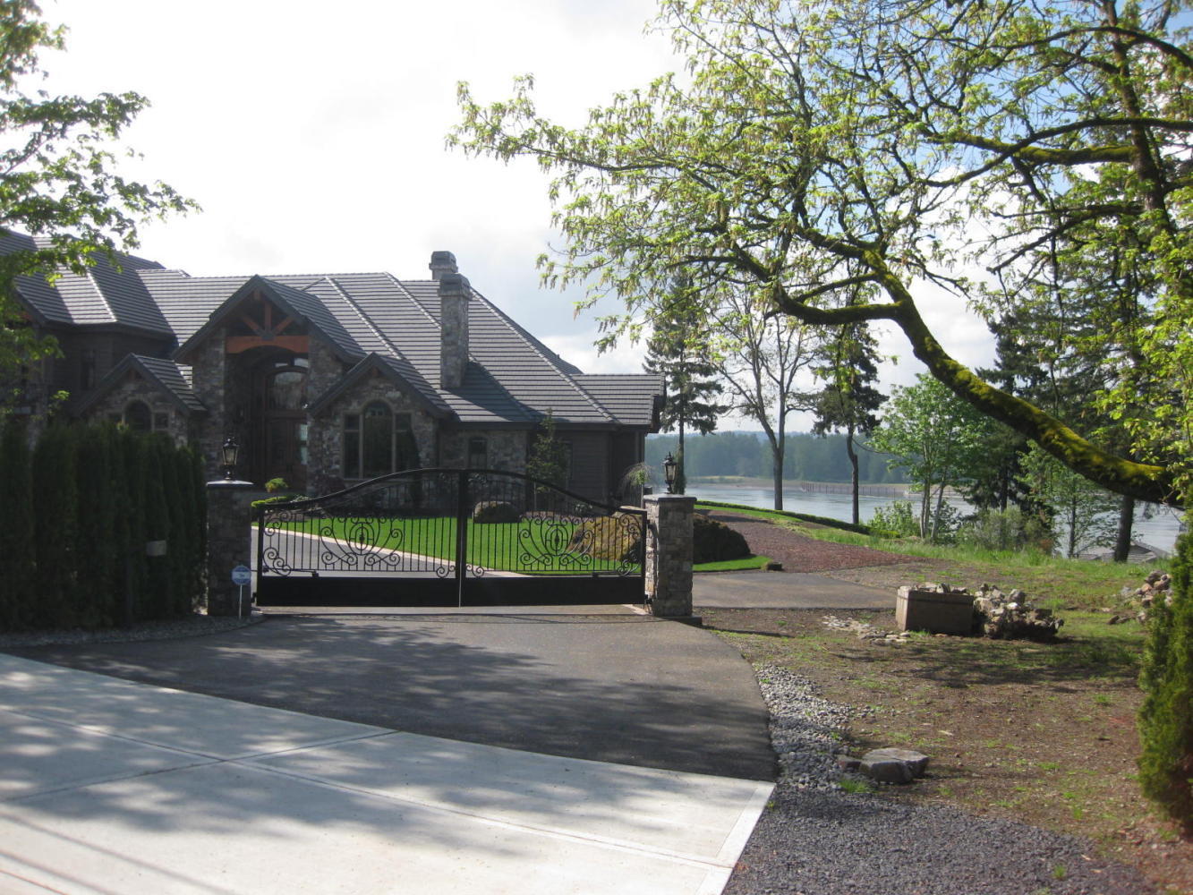
After a bit of freeway, we were guided by signs onto a true backroad. This lasted for a few km, and ran by some pretty upscale construction overlooking the river.
| Heart | 0 | Comment | 0 | Link |
| Heart | 0 | Comment | 0 | Link |
| Heart | 0 | Comment | 0 | Link |
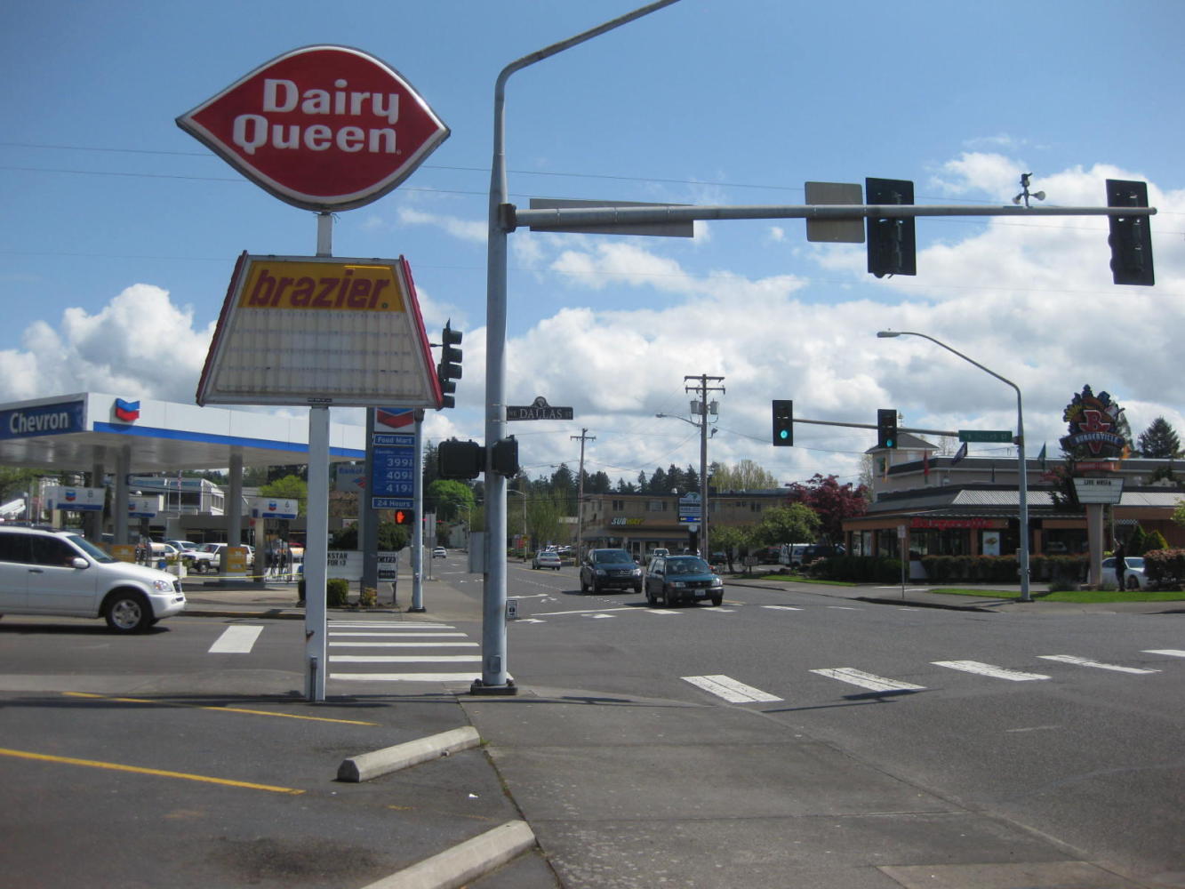
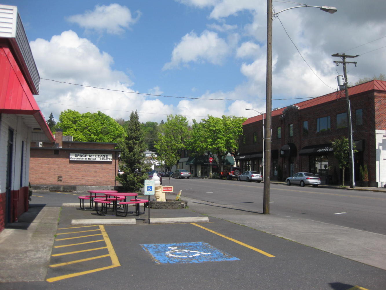
Soon, though it was back on the freeway, but we cut off to go to the Dairy Queen in Camas. Camas is a true mill town, home to a large Georgia Pacific paper operation. Every town, Camas included, claims to have a "historic downtown". But in Camas, this claim is really hard to verify.
| Heart | 0 | Comment | 0 | Link |
After Camas the Highway 14 business loop continued for long enough that we wondered where we had misplaced the real highway at. The road was quite rough, but everywhere crews were having fun running around with equipment, digging things up. We got the impression that they had been doing this for a long time, without tangible results.
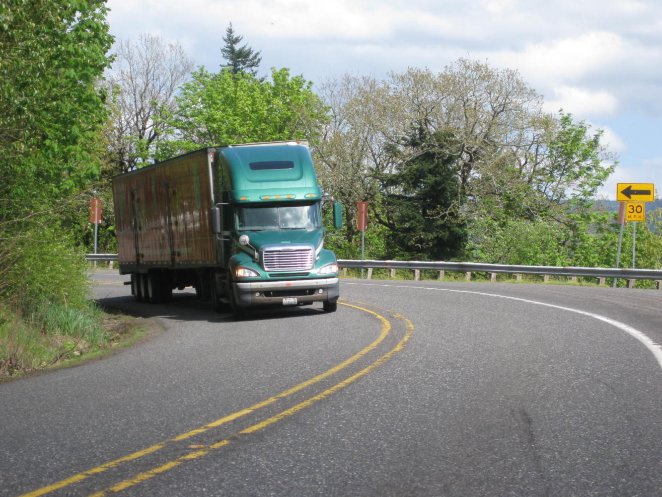
When we did rejoin 14, we had expectations of the smooth, flat, riverside drive we had envisioned from up North. Instead we got a 10km hill that we had to push the heavy bikes up. This turned out to be "Cape Horn", where the road ascended high on the mountainside. The road, which had had a few areas of wide shoulder now mostly offered narrow shoulders and blind corners. Semi trailers made a habit of thundering around these. Fortunately we were more often than not pushing the bikes, making it impossible to fall off.
| Heart | 0 | Comment | 0 | Link |
Just before the top, Dodie scored a hat trick. That is, she got a flat in her third and final tire, the front. This time the forensic analysis revealed about a 1/2 inch shard of stainless steel. Again, not really Schwalbe's fault, since this thing was far longer than a thumb tack. On the other hand, if the tires can not withstand the common run of hazards, is it fair to advertise them as "flatless"?
Coming down we could appreciate just how darn long this hill was. On the way up one is too delirious to appreciate the whole scope. Once on the bottom, the road continued to undulate. We were already tired, so these further hills seemed more of a problem than they might have otherwise.
When we did arrive at the State Park, various ambiguous signs indicated turns for day use areas, group camping, riding, etc. We decided that we needed to press on to the correct turn, and up another 1 km hill we found the campsite. At least we found a sign indicating we should climb yet another hill. At this point we both baulked and plunked out tent down under a picnic shelter that happened to be just by the road.
Not much of a stealth camp actually, being by the road and across the street from the park office. (The office, though, was under construction and seemingly closed.) Anyway, it didn't take too long for a ranger to appear in a truck, to give us the boot. Dodie tried her "I'm too tired to move" gambit (actually it was much more truth than gambit). The ranger was having none of it, but did reveal that there were five un-signposted ones back down the 1 km hill. We could coast back there and deal with the hill again in the morning.
Not wanting to confront the armed might of the Washington State Parks Department, we packed up our stuff and coasted down. Our new site does have the luxury of a power outlet and flush toilet with shower nearby, but we would have been happier up the hill!
At the risk of disappointing everyone who has recommended this route, so far we have seen, yes, some river views and lots of trees, but the road is infested with semis and narrow shoulders, and does not run by the water. This may change as we get further upriver, and we are going to give it a chance. In the back of our minds, though, is the possibility of crossing the river and taking the Interstate. If we have to battle semis, it may sometimes be better to do it from a better defensive position on a wide shoulder.
Today's ride: 68 km (42 miles)
Total: 734 km (456 miles)
| Rate this entry's writing | Heart | 0 |
| Comment on this entry | Comment | 0 |