June 4, 2020
Day 8: Applegate to Grants Pass
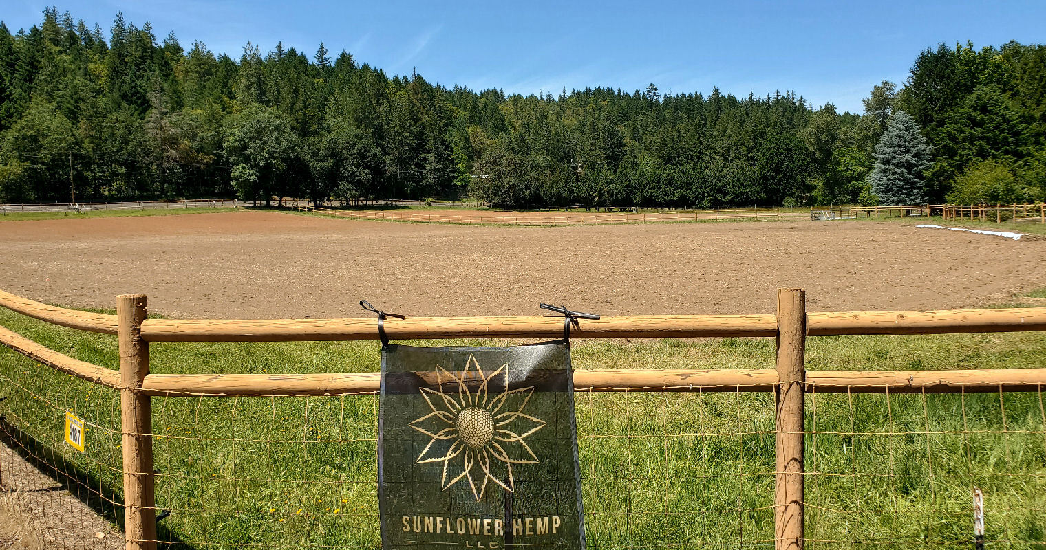
Easy days and cool mornings don't motivate me to get up early. Up at 8:15, on the road at 9:40 heading west on North Applegate road. 12 miles of low traffic bliss because it's that far between bridges. Most of the traffic is across the river on OR 238.

| Heart | 0 | Comment | 0 | Link |
I was stunned at the number of wineries. They all seem fairly new. I wonder who buys all the wine.

I returned to Josephine county early in the day. The tour's first and last nights are in Josephine county. The middle 6 nights are in Jackson county.

I passed only one stinky dairy during the trip. Applegate Dairy has signs suggesting it's a wonderful place but I would never live near a dairy farm.

North Applegate road dead ends into OR 238 in the unincorporated town of Murphy which is only 5 miles south of Grants Pass. I could get to Grants Pass very quickly today but I'm taking a circuitous route that is 3 times longer.

Murphy has great views of Applegate river from the OR 238 bridge. The area south of the river is mostly abandoned sawmills. Lots of old stuff to look at.


| Heart | 0 | Comment | 0 | Link |
After crossing the river I continued downstream on the south bank of the river on Southside and Fish Hatchery roads. Traffic is very light. Mostly timber land, not many rural homes.

| Heart | 0 | Comment | 0 | Link |
I turned into South Fish Hatchery park for more views of Applegate river. Parks like this are usually deserted in the cool morning and crowded in the afternoon when it's warm enough to want to get in the river.

| Heart | 1 | Comment | 0 | Link |
Fish Hatchery road dead ends at the store in the village of Wilderville. Wilderville is near the halfway point of today's route. I was hoping to find something good for lunch. Unfortunately the taco truck was closed.

| Heart | 0 | Comment | 0 | Link |
From the Wilderville store I pedaled north up a hill, then 1/4 mile north on busy US 199 to connect to OR 260. I detoured just past my turnoff for final views of the Applegate river before it flows into the Rogue river.

| Heart | 0 | Comment | 0 | Link |

| Heart | 0 | Comment | 0 | Link |
OR 260 is very hilly and is mostly in forest. No views of the river except near Robertson's bridge. Traffic was heavier than expected. On the map OR 260 appears to be a road to nowhere but the lack of bridges and other roads concentrates traffic west of the river onto OR 260.

| Heart | 0 | Comment | 0 | Link |
| Heart | 0 | Comment | 0 | Link |
After some big hills OR 260 takes me back to the Rogue river which I haven't seen in 4 days.

| Heart | 0 | Comment | 0 | Link |
I turned on the 3/4 mile dead end road to Griffin county park. I knew it was a long dead end descent but also knew it is one of the area's most popular parks.

I took a long stop at Griffin park and enjoyed watching the other visitors walking dogs, paddling in the river, etc. The weather was perfect, about 75F.

While at Griffin park I saw two jet boats go by. That was a pleasant surprise. As far as I knew the jet boat wasn't operating yet. Later I learned that today's excursion is a pre-commercial test run with First Responders as passengers.

OR 260 has frequent views of the Rogue river near Robertson's bridge.


| Heart | 0 | Comment | 0 | Link |
The old Robertson's bridge is very interesting. It's quite common to leave behind the concrete supports of an old bridge. In this case the roadway was removed but the trusses were left behind. Strange but visually striking.

| Heart | 0 | Comment | 0 | Link |

The terrain is flatter on the east side of the river pedaling south and east to Grants Pass. I came into Grants Pass on Lower River road which stays very close to the Rogue river, blissfully flat.

I pedaled through downtown Grants Pass to the Hellgate Excursions office. I arrived during the posted office hours but it was closed. I called the number on the door and made a reservation for the 9 AM 2 hour Fast and Scenic excursion tomorrow morning, their first public jet boat excursion of the year. I will be required to wear a mask during registration and on the boat.
Afterwards I pedaled 2 miles uphill across Grants Pass to the Motel 6 near an I-5 exit. Tomorrow I must backtrack downhill to the jet boat. I booked Riverside Inn on the first night of the tour, planning to do a jet boat ride the following morning. But the jet boat wasn't operating then. Now I have to do some backtracking but I get to ride the jet boat!
My $60 room at Motel 6 is very basic. No breakfast, no fridge, no microwave. Less than half the price of Riverside Inn on the first night of the tour. Dinner was 2 blocks away at Black Bear Diner which had dine in service but was nearly deserted.
Today had perfect weather. High of 78F (26C), mostly sunny, light wind.
Today was one of the longest and hilliest days of the tour but still comparatively easy.
Distance: 49.3 mi. (79 km)
Ascent/Descent: +2017/-2062 ft. (+615/-629 m)
Average Speed: 9.6 mph (15.4 km/h)
Today's ride: 49 miles (79 km)
Total: 299 miles (481 km)
| Rate this entry's writing | Heart | 2 |
| Comment on this entry | Comment | 0 |