January 1, 2023
Usulatan to La Union, El Slavador
Happy New Year to you!
Today was supposed to be an easy commuting day, to recovered from my volcano hike yesterday. I have started to use Google Maps between cities more than Komoot now, because Komoot would take me into neighborhoods too much and it just took too much time. The default vehicle in Google maps however, it is a car, because they don't have bicycle directions outside of the US in most areas yet. So today was a learning experience in that it created a route for me that had a ton of elevation gain, because, who cares if you're in a car? It was too late to turn around when I discovered this however so I just went for it, but I probably had an extra 2500 feet of gain that I did not need after my big hike yesterday. I'm going to have to check that better the night before now.
It was also super hot today too. Not so humid really, but just plain hot. 92 according to Weather Underground, but with the humidity, it said it felt like 100. It sure did, toting ~60 lbs up elevation.
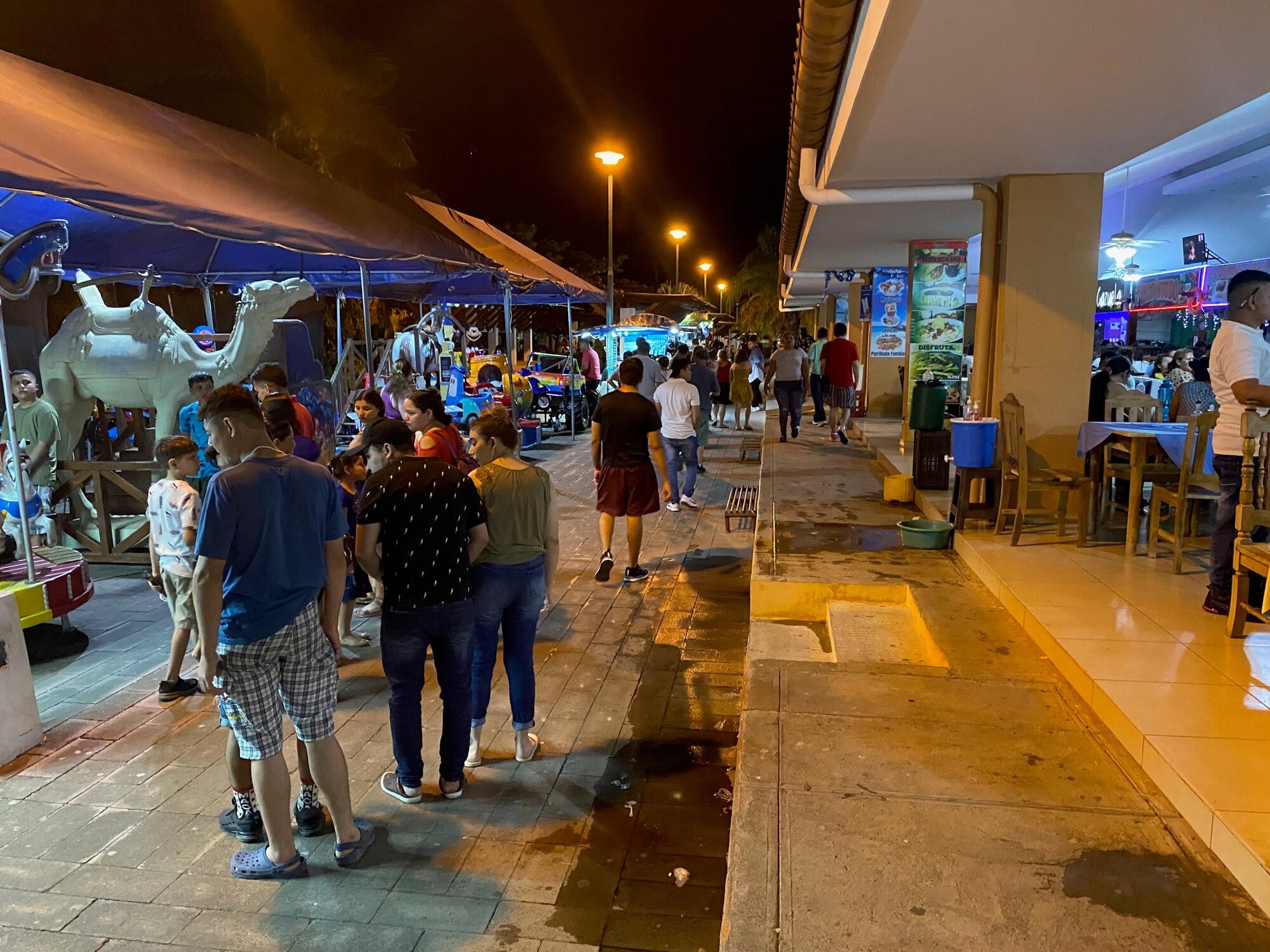
When I got to La Union, I was super hungry, so went to a Burger King here, but it was not your typical Burger King (see pic below). The rest of the town was pretty much closed because of the holiday I'm guessing. There is this big food court area down by the water next to a park and a lot of family mall 0r store-type carousel rides and vendors selling their wares. This, combined with not that many bars in town, makes this town much more family-oriented.
I am staying here for two nights before my boat ride to Nicaragua on Tuesday morning, if all goes well. I could definitely use the day off tomorrow to recover!

| Heart | 0 | Comment | 0 | Link |

| Heart | 1 | Comment | 0 | Link |

| Heart | 1 | Comment | 0 | Link |


| Heart | 0 | Comment | 0 | Link |


| Heart | 0 | Comment | 0 | Link |


| Heart | 0 | Comment | 0 | Link |


| Heart | 0 | Comment | 0 | Link |


| Heart | 0 | Comment | 2 | Link |
I read your comment about routing issues with Komoot and Maps - have you ever tried creating routes or at least using as a reference Strava and their global heat map? Great American company from Boulder that is a phenomenon world wide, literally tens of millions of users. Because SO many cyclists use Strava, even a lot of tourers, their heatmap which is metadata from all users and their routes, will pretty reliably give you the best cycling route, even in the furthest corners of the world. Just use the darker colored blue lines! If you toggle on the paved roads only button if that is what you choose to ride you can solve a lot of the problems you encounter with some of the other apps.
I have been using Strava for routing for many years, in the US and all over the world. I toured with a couple in N Thailand and Laos a few years ago who swore by Komoot and after a week of walking through farm fields and cow pies started routing with Strava complemented by Google Earth like I do at home and we never looked back.
Even if you just use it as a reference and create your routes on Ride w GPS or Maps, it is super helpful.
Cheers and keep up the great work!
2 years ago
2 years ago
Today's ride: 60 miles (97 km)
Total: 926 miles (1,490 km)
| Rate this entry's writing | Heart | 3 |
| Comment on this entry | Comment | 0 |