July 10, 2006
Day 39: Guffey, CO to Breckenridge, CO
68.40 Miles, 7:11:42 Ride Time, 9.72 Average Speed, 30.9 Maximum Speed
I was awake at dawn, and up not long after, after sleeping fitfully the night before. I was anxious to get going, so I did little more than splash some water on my face and got dressed.
It was by far the coldest morning of the trip. I wore my arm warmers, something I had not done until today. Despite the cold, I didn't wear the leg warmers, which look and feel ridiculously tight.
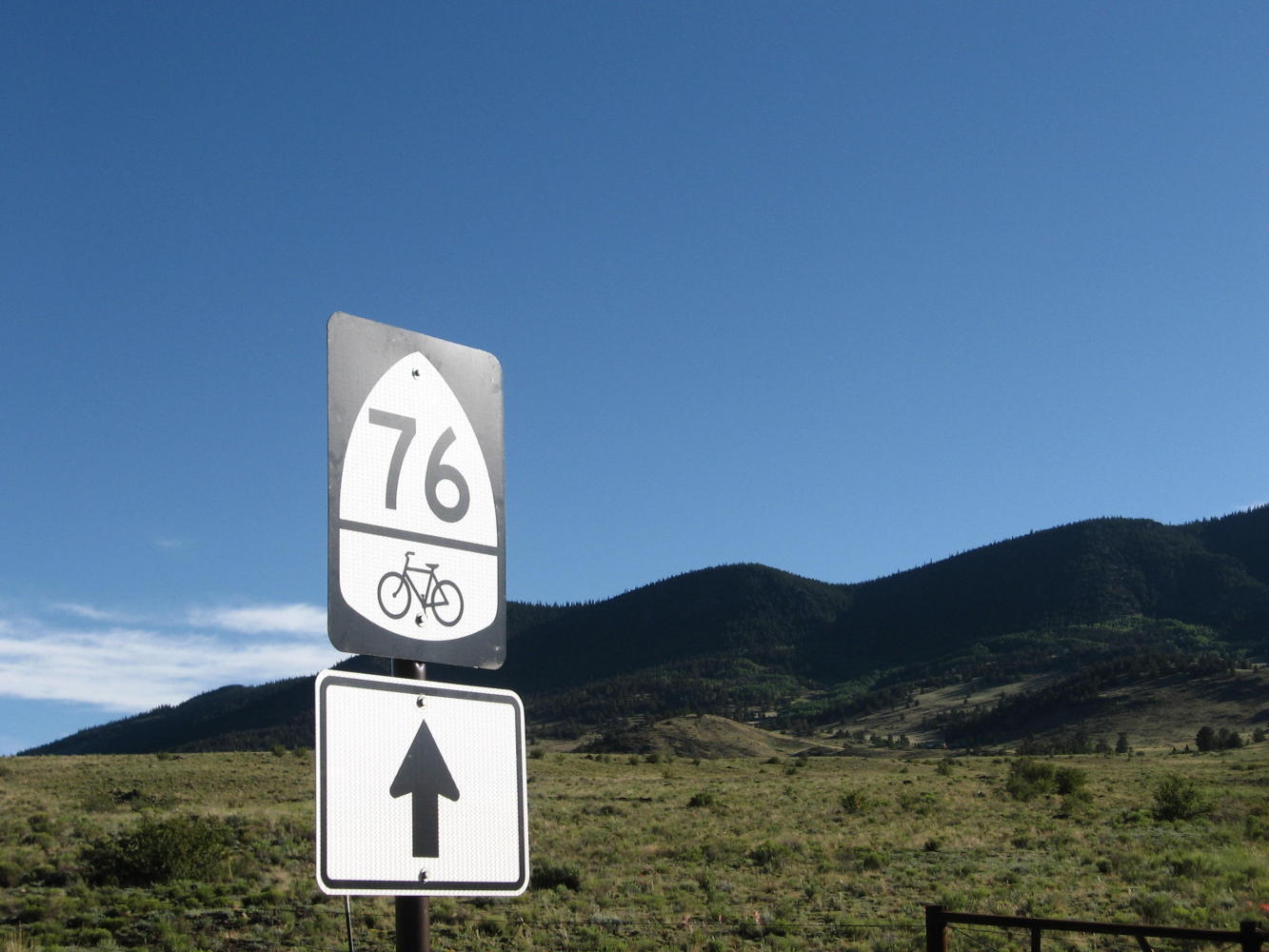
Unlike yesterday, today the sky was a clear, brilliant blue. The ride downhill from Guffey to get back on the route was pleasant despite the chill - quite a contrast to yesterday afternoon's miserable climb in the rain.
Once I got back on SR 9, I noticed that I was moving much more slowly. It was as if I was riding into the wind, but there wasn't any wind. Apparently I was feeling the effects of the high altitude. I hadn't noticed it yesterday as I climbed to 8,500 feet, but this morning I was gasping for breath. Most of today was supposed to be long, gradual climbs to Alma at 10,578 feet, and then one steep climb to Hoosier Pass at more than 11,500 feet, so I anticipated a long day.
The scenery all day today was spectacular - the most gorgeous of the trip so far. Even though I was moving slowly, (and stopping to take lots of pictures) I wasn't worried about reaching Breckenridge late in the day, since I had started so early.
Several miles into the ride, I stopped to take a picture of a farm. A man had also stopped to take pictures at the little turnoff, and I talked to him for a while. He was Charles Hodnett, a recently retired guidance counsellor who was transporting his motorcycle from his home in Florida for a ride in Colorado. We talked a while, and he asked if I had eaten breakfast. When I told him I was planning to get something in Hartsel (several miles away), he offered me some of the food he was carrying in his well-equipped truck. I accepted his offer and made myself a peanut butter and jelly sandwich, something I hadn't had since the beginning of the trip.
As I rode on toward Hartsel, I encountered some headwinds which slowed me down even more. This was definitely shaping up to be the slowest day of the trip. Fortunately, the scenery continued to be great.
When I (finally) arrived in the small town of Hartsel ("The Heart of Colorado") after about 25 miles, I stopped for breakfast, which was notable for being the largest stack of pancakes I've ever been served. Somehow, I did manage to finish them.
The 20 miles or so to Fairplay might have been the slowest of the trip. I couldn't believe how hard this was. It was a gradual ascent, but the headwinds were strong, and I kept gasping for breath. Despite this, and an increase in (tourist-related) traffic, the great scenery made it worthwhile - especially the snow-capped mountains in the distance.
It was later than I had anticipated by the time I arrived in Fairplay (pop. 610). I had hoped to get to Breckenridge before the expected afternoon storms arrived, but it was already looking cloudy, and I was only in Fairplay, with 22 miles to Breckenridge.
I hated the idea of staying in Fairplay when I had a place to stay in Breckenridge (Paul and Karla Pumphrey had kindly allowed me the use of their condo), and of the 22 miles, 12 of them would be downhill from Hoosier Pass. I decided to try it.
The six miles from Fairplay to Alma (home of the South Park Saloon, "The highest saloon in the USA" at 10,578 feet) was on a paved bike path adjacent to the highway. I was grateful for the path, because the traffic was getting heavy. I had already been warned that the traffic up to Hoosier Pass was no fun, so I dreaded my arrival in Alma, and the end of the bike path.
I rode through tiny Alma (pop. 179) and began the four mile climb to Hoosier Pass, which at 11,542 feet, would be the highest elevation of my trip across the country. This was the steepest climb since Kentucky, with heavier traffic and very little paved shoulder. There wasn't even much gravel shoulder - it had been walled off in places because of rock slides. Halfway up, it started to rain. Unlike yesterday, this time I got out my rain jacket and pants and put them off. In another half mile, it got cooler, and the rain briefly turned to hail (small balls of ice, but still - it was hail).
My bike computer showed that I had 0.7 miles to go when I got a pleasant surprise - I was almost at the Hoosier Pass sign. I must have set the trip calculator at the wrong place (or, less likely, the road sign at the bottom of the mountain was wrong...) In any case, I was at the summit, and there was even someone there to take my picture in the wind and rain.
After the picture taking, it started to rain much more heavily, and I started the twelve mile descent. This would have been fun on a dry day with little traffic, but today I was careful on the wet road. About eight miles down, the rain became very heavy, so I pulled into the driveway of a time-share condo and stood under one of the porches (ignoring the "No Trespassing" sign). While I was waiting for the rain to slack off, the people renting the unit showed up, but they were very nice, and told me to wait there as long as I wanted.
By the time I got to Breckenridge, a big-time tourist town, the rain had stopped and the sun was out. I stopped at a convenience store, took off my rain gear, and asked for directions to the condo. It was about a mile and a half climb, but it was certainly worth it once I arrived. Thanks, Paul and Karla!
I was as tired as I've been at the end of any day of the trip, and definitely didn't feel like riding down to town (and riding back up to the condo), so I just ordered a pizza. I had ignored/forgotten the advice of several people, and hadn't put on any sunscreen today - it had been so chilly this morning (and never really got hot the entire day), that it never occurred to me to do it. Now I realized that my face was sunburned, and I resolved not to make this mistake again. I was surprised to see how low my average speed was for the day - by far the lowest of the trip. There apparently is something to this whole "high altitude" thing...
As I got ready to go to bed, I was struck by the contrast between Guffey, where I had stayed last night, and Breckenridge. Of course, the contrast between the Hog Barn and the condo was even greater...

| Heart | 1 | Comment | 0 | Link |


| Heart | 0 | Comment | 0 | Link |


| Heart | 0 | Comment | 0 | Link |


Today's ride: 68 miles (109 km)
Total: 2,491 miles (4,009 km)
| Rate this entry's writing | Heart | 0 |
| Comment on this entry | Comment | 0 |