January 11, 2020
In Death Valley: Daylight Pass
Another day, another pass. Today, it’s Daylight Pass.
Death Valley offers two different types of cycling experiences for road cyclists: long, generally flat rides along the valley floor, or long, generally steady climbs up one of the passes that cuts through the surrounding ranges. As we discovered with our climb toward Dante’s View though, it’s pretty chilly up on top in the dead of winter.
Daylight Pass though, a minor road that continues on to Beatty, Nevada, is a bit lower elevation than the major east/west accesses. Topping out at 4,317 feet, it feels like one that might be within our reach as long as we dress appropriately for the descent. And, if it’s starting to feel too cold it offers a bailout option: we can stop climbing about halfway to the summit at Hell’s Gate and drop back down to the valley floor on a different road that angles off to the southeast, making the ride more of a loop than just an out and back.
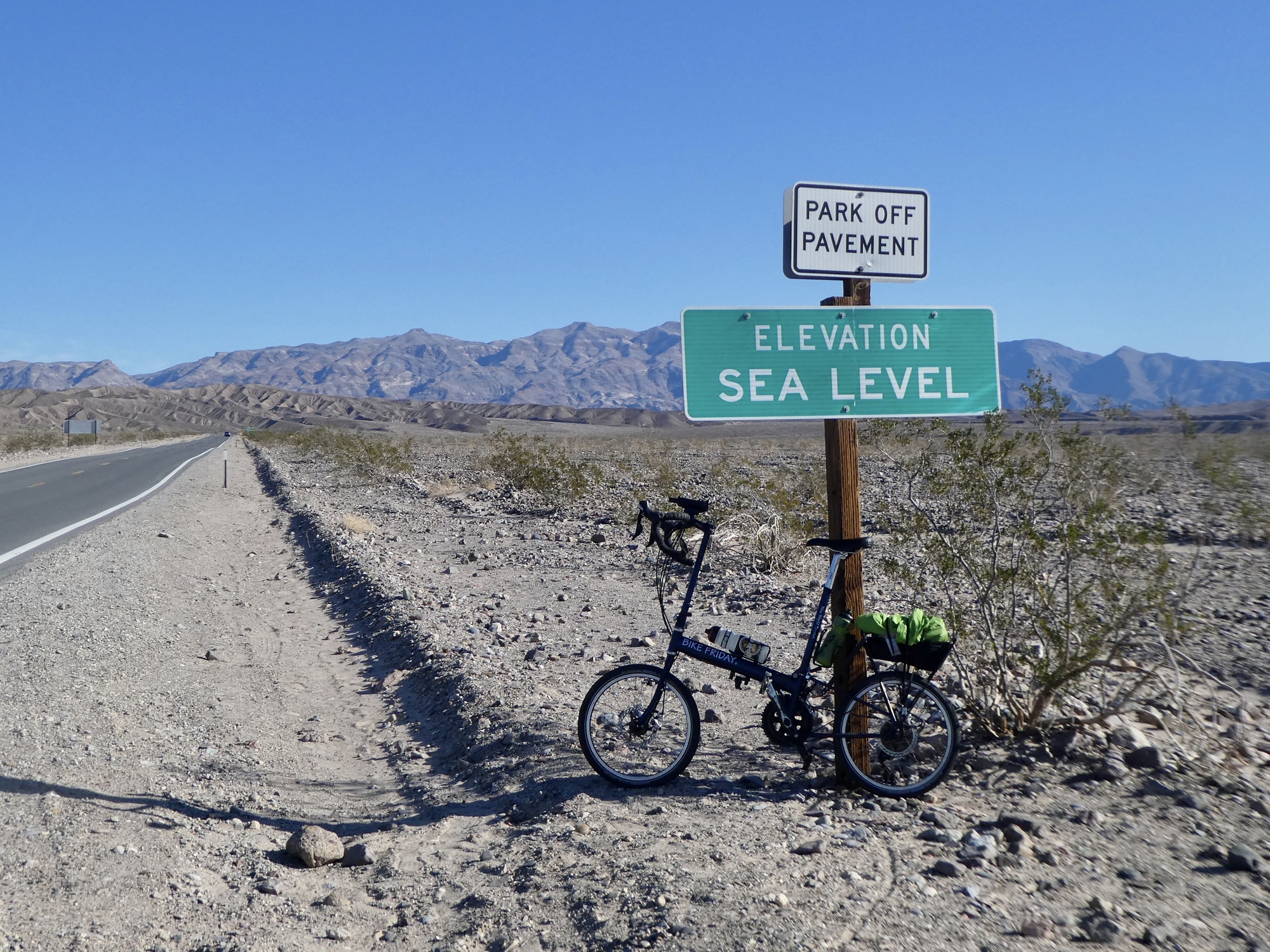
One other advantage of Daylight Pass is that it’s within range for a ride that starts right from our lodge. We hang around our tiny room until about nine thirty, by when the day has warmed up to the low fifties, and then head out. We want to get an early start so that we’ll be on the descent during the warmest hours of the day.
The ride begins with seven miles on Highway 190, the primary road through the park that continues on to Furnace Creek and up the east wall toward Nevada. This is the same road we first dropped into the valley on, and that we rode at the start of the climb toward Dante’s View two days back. It’s a narrow two lane road with zero shoulder - it turns to sand and gravel as soon as you leave the pavement - but at this time of year the traffic is so light that it’s not a safety concern.

| Heart | 8 | Comment | 0 | Link |
| Heart | 5 | Comment | 0 | Link |

| Heart | 2 | Comment | 0 | Link |

| Heart | 3 | Comment | 1 | Link |

| Heart | 1 | Comment | 0 | Link |

| Heart | 3 | Comment | 0 | Link |

| Heart | 1 | Comment | 0 | Link |

| Heart | 2 | Comment | 0 | Link |
| Heart | 4 | Comment | 0 | Link |
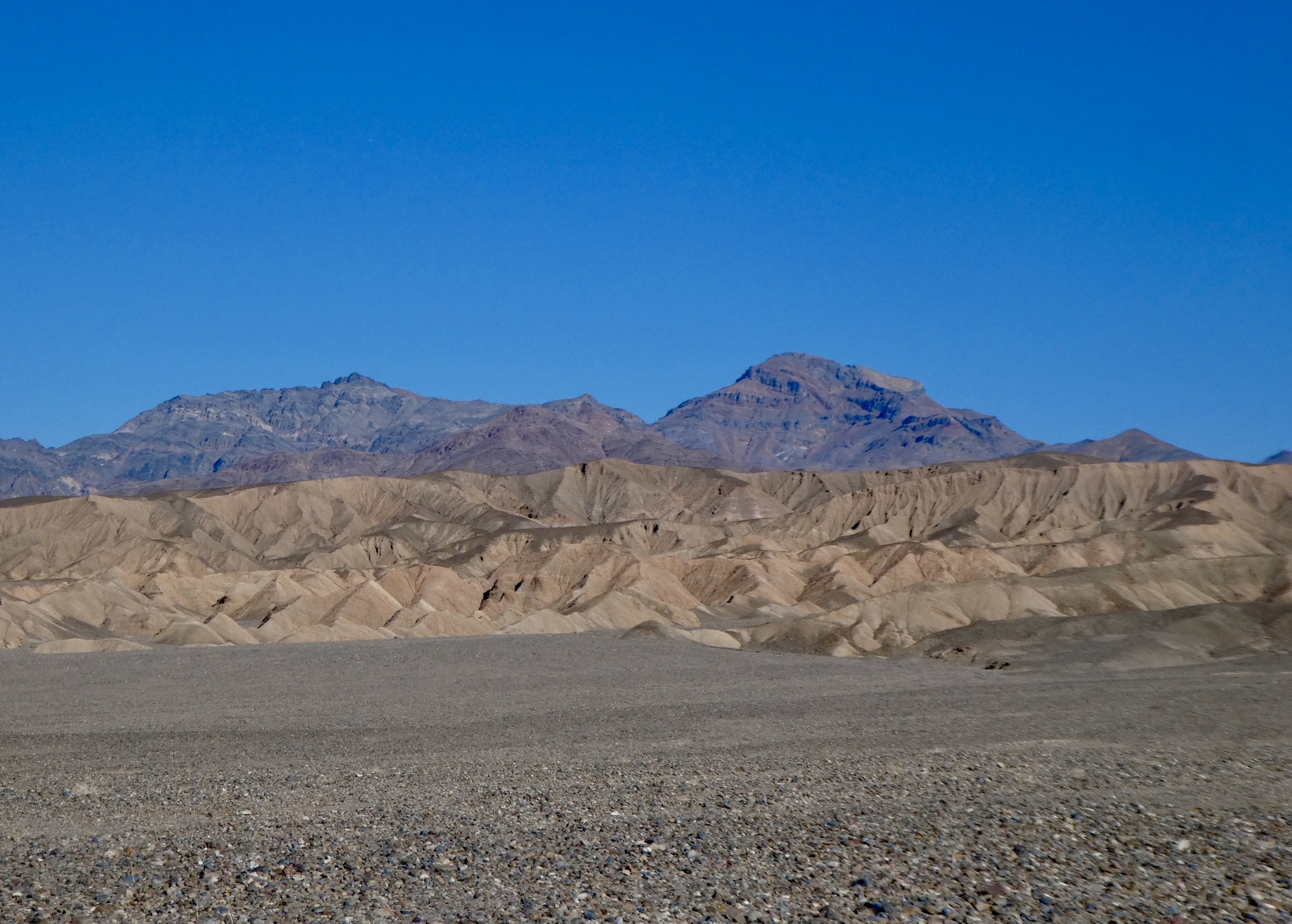
After about seven miles, we finally leave Highway 190 for Scotty’s Castle Road, the long run up the north end of the valley that eventually bends up and over the mountains into Nevada. It’s a long ride - we climbed up to the state line on this road last time we were here, starting not far from here at Titus Canyon - it’s roughly a 20 mile steady climb, with a mind blowingly long descent back to the valley floor. I still remember coasting fast down toward the Badwater Basin, visible far off in the distance, and a full hour later it was still far off in the distance.
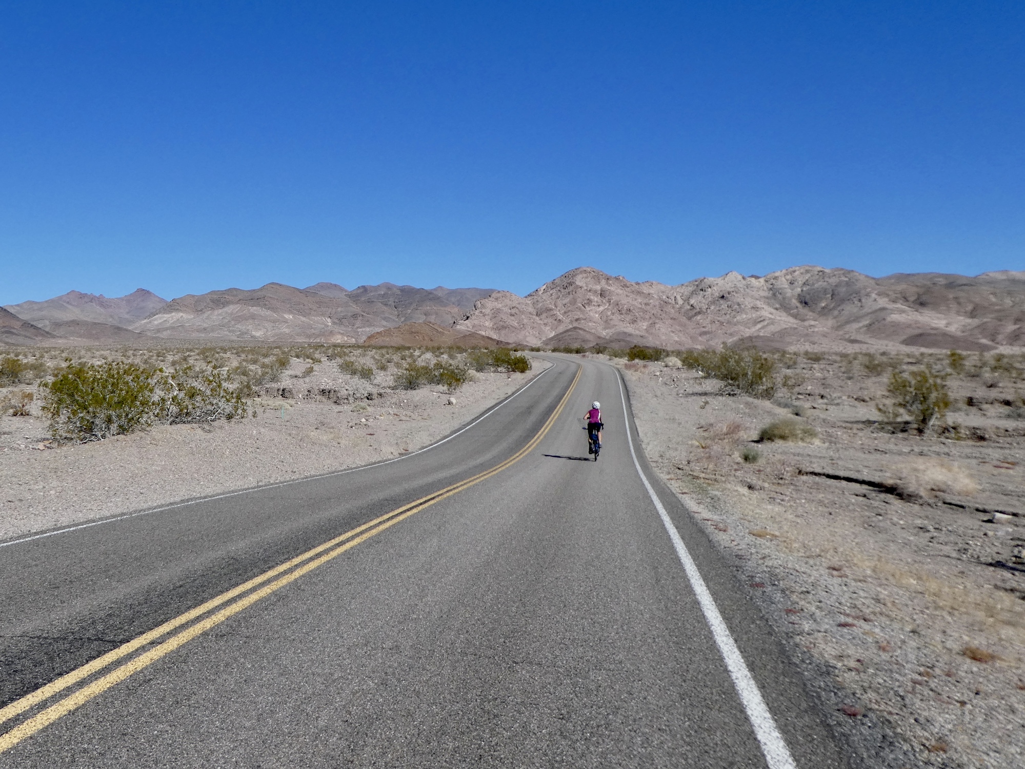
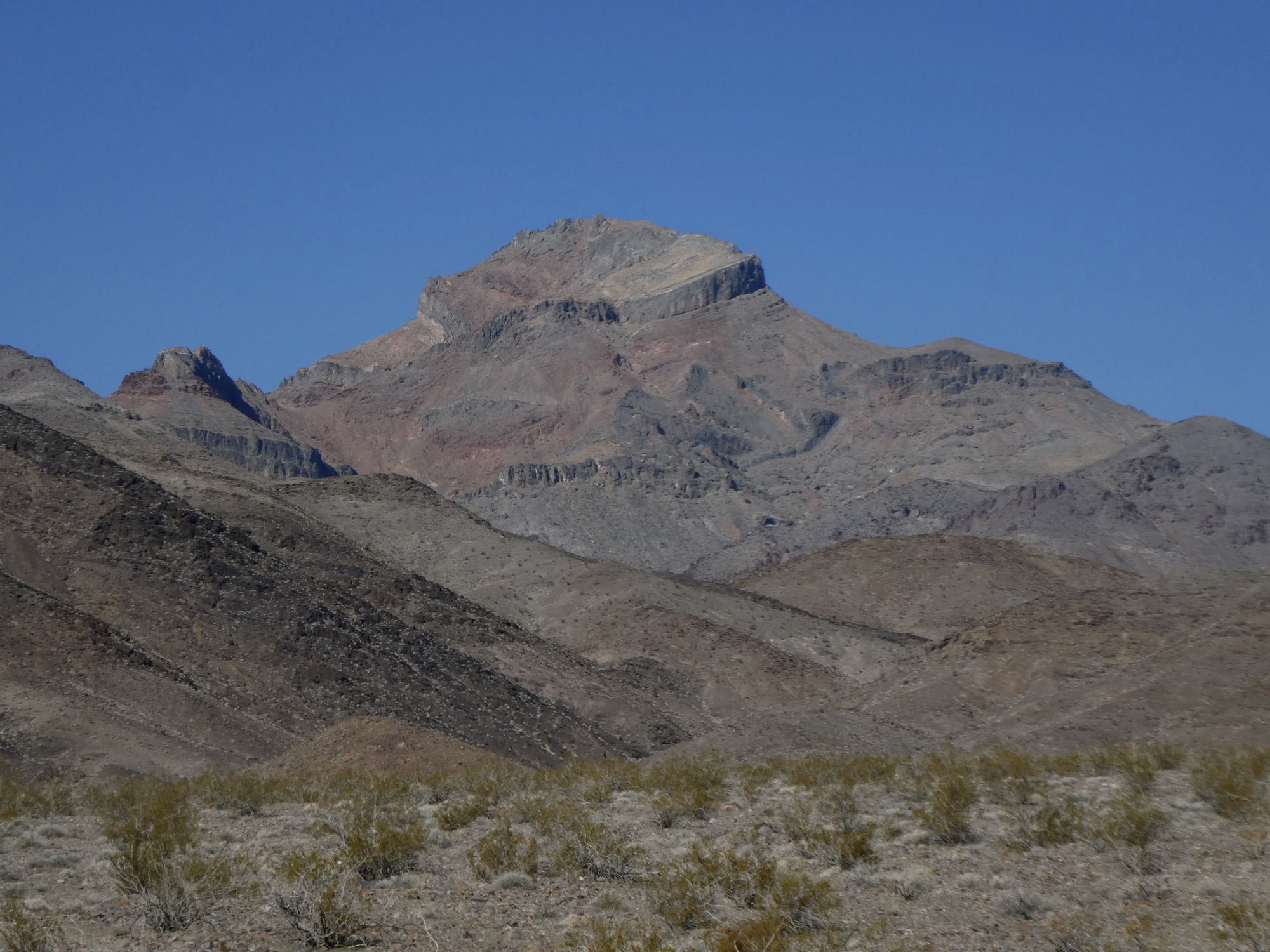
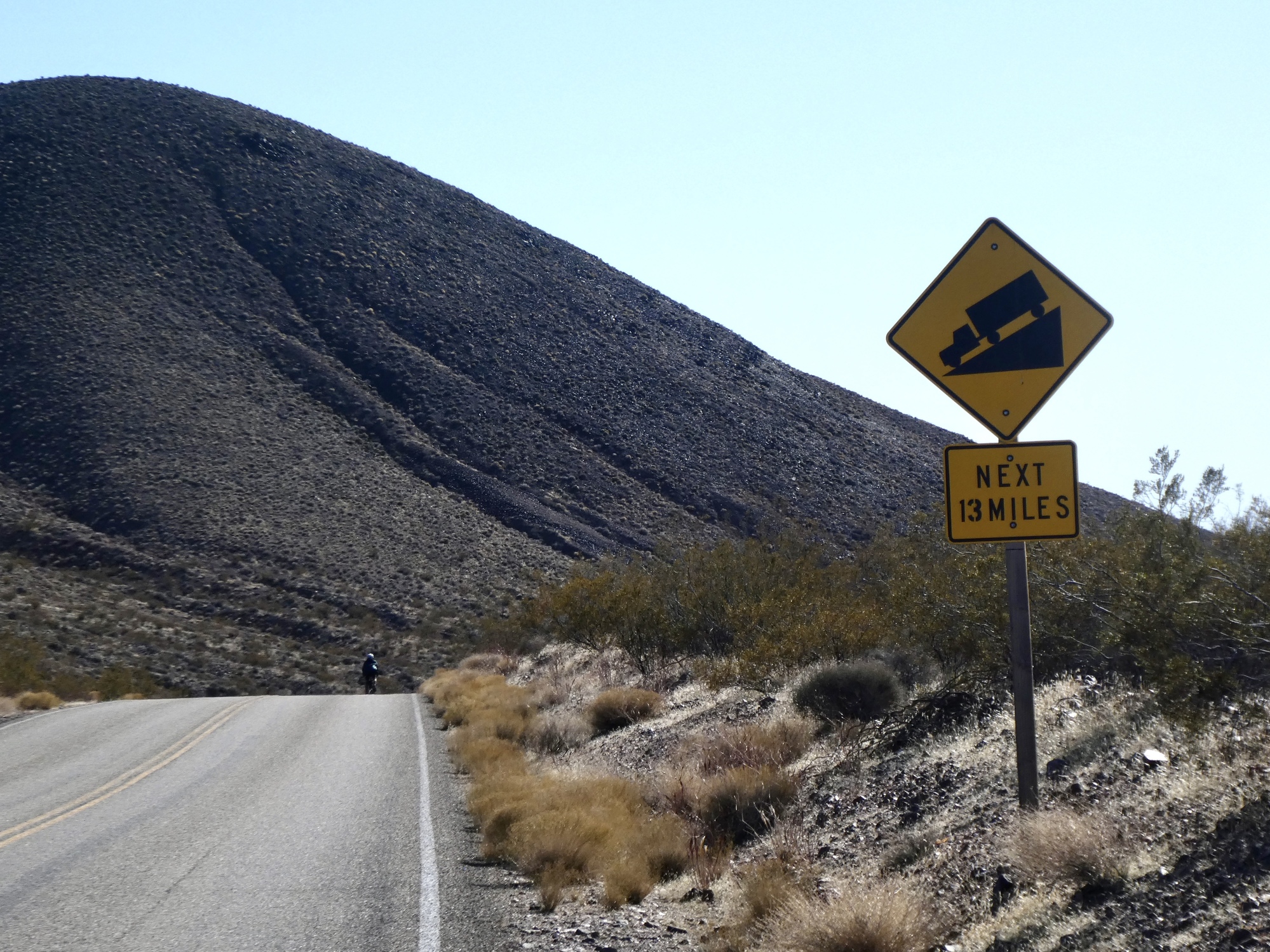
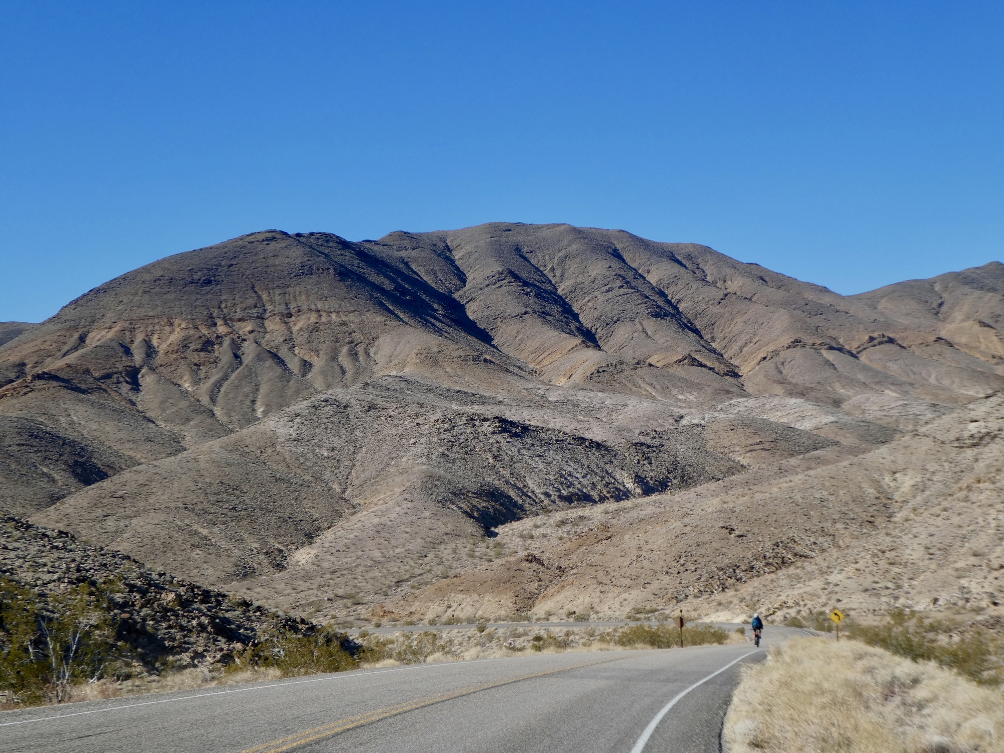
Today though, we only follow this road for a mile or two before branching off to the northeast on Daylight Pass Road. From here, the climb begins in earnest, and maintains a quite steady 6-7 percent grade for the next 13 miles. We settle in, find our rhythm, and delight in a beautiful climb on a virtually empty road.
Seven miles up, we reach the junction at Hell’s Gate. This is one of the gateways to the park, with all the facilities: a fee station, toilets, an information board, even a picnic table. It’s choice time - we could keep climbing to the summit or drop down Beatty Cutoff Road. We’re both feeling strong, weather is glorious, and the road ahead is still virtually empty.
An easy decision. We climb on. Six miles later we’re at the summit, just yards really from the state line which must be just down and around the bend on the other side. We consider biking down to it for a photo opportunity, but not for long. We’ve done what we came for, and it’s getting chilly up here. Time to turn back.

| Heart | 3 | Comment | 0 | Link |

| Heart | 4 | Comment | 0 | Link |

| Heart | 2 | Comment | 0 | Link |

| Heart | 2 | Comment | 0 | Link |

| Heart | 2 | Comment | 0 | Link |

| Heart | 3 | Comment | 0 | Link |

| Heart | 3 | Comment | 0 | Link |
The descent is a role-reversal, sadly enough for Rachael. It’s her turn to turn hypothermic, and she struggles to make it down the thirteen mile descent. She made the same mistake I did two days ago, by not putting on all of her layers on at the summit - she put on her jacket, but not her second layer, warm gloves or leggings. Fortunately conditions are better today - the wind isn’t as strong, and we’re biking into the full sun. She’s able to recover a bit when she stops and just stands in the sun from time to time.
At Hell’s Gate again, we stop for a quick lunch before continuing on and for Rachael to put on her remaining layers. She’s stable, barely, but is shaking pretty badly when we finally bottom out. Dedicated documentarian that she is though, she stops partway down the pass to change the batteries on her GoPro so she can provide you, dear reader, a complete look at this pass.
Partway down the pass, we pass a couple climbing the other direction - a younger and stronger couple than us, and really attacking the climb. Then, fifteen or twenty minutes later I’m almost shocked when the woman passes me like I’m standing still, pedaling furiously downhill and looking like a road warrior. I hadn’t even hear her coming until she was almost on my shoulder. She must be topping 40 mph, and soon disappears in the distance. Then, a minute later here comes her partner. - I hear him coming behind me in a soft whir, and then he blasts past and disappears after her. They’re so silent coming behind you at such speed, that it’s pretty unnerving. I’d rather be passed by a car.

| Heart | 2 | Comment | 0 | Link |
Rachael’s in pretty sad shape by the time we reach the valley floor again, but she recovers quickly once we’re on the flats and she starts pedaling again and generating some heat. By the time we make it back to the room seven miles later she’s feeling almost normal again, and more interested in unloading video than hopping in the shower. Tough gal.
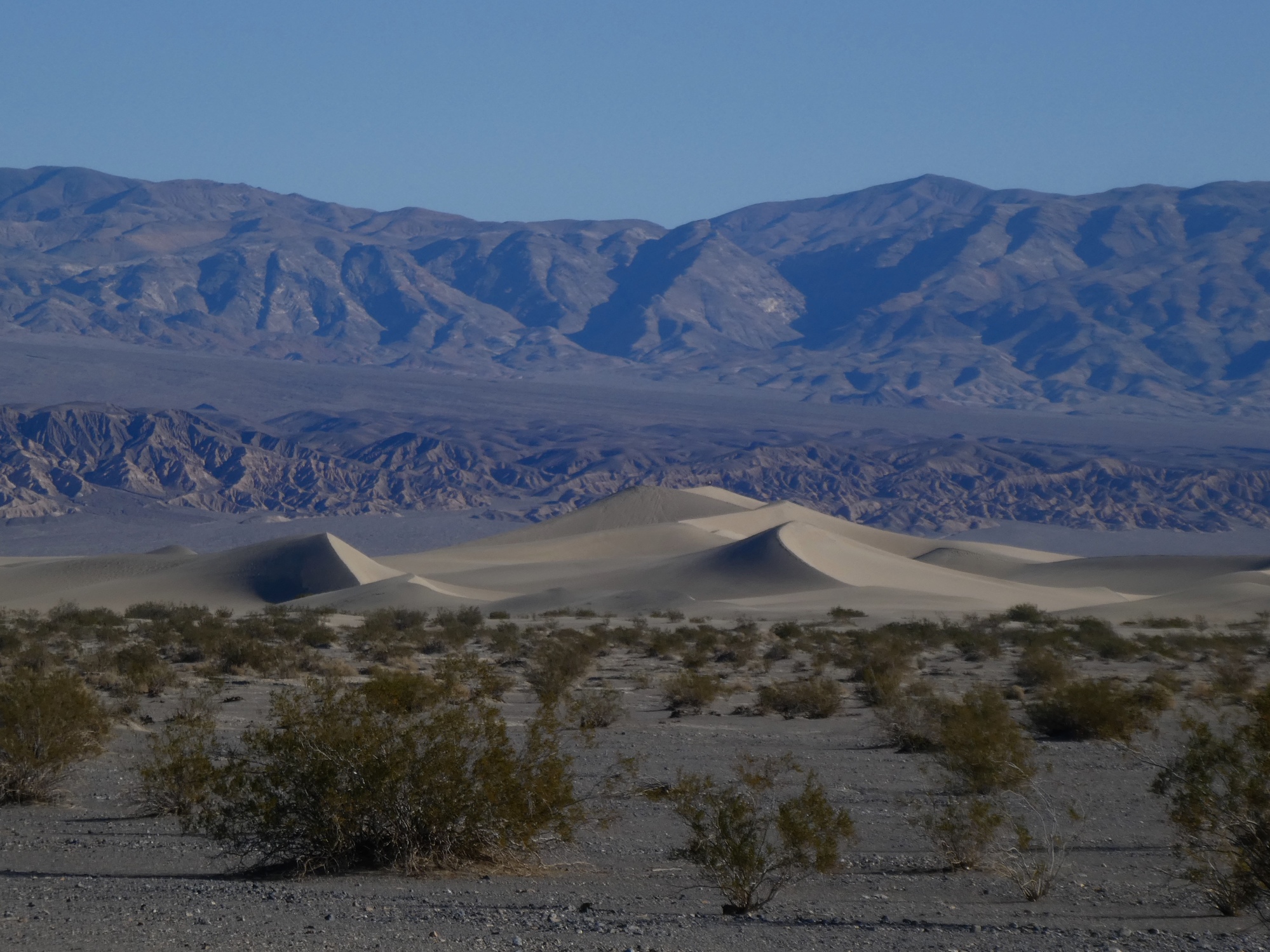
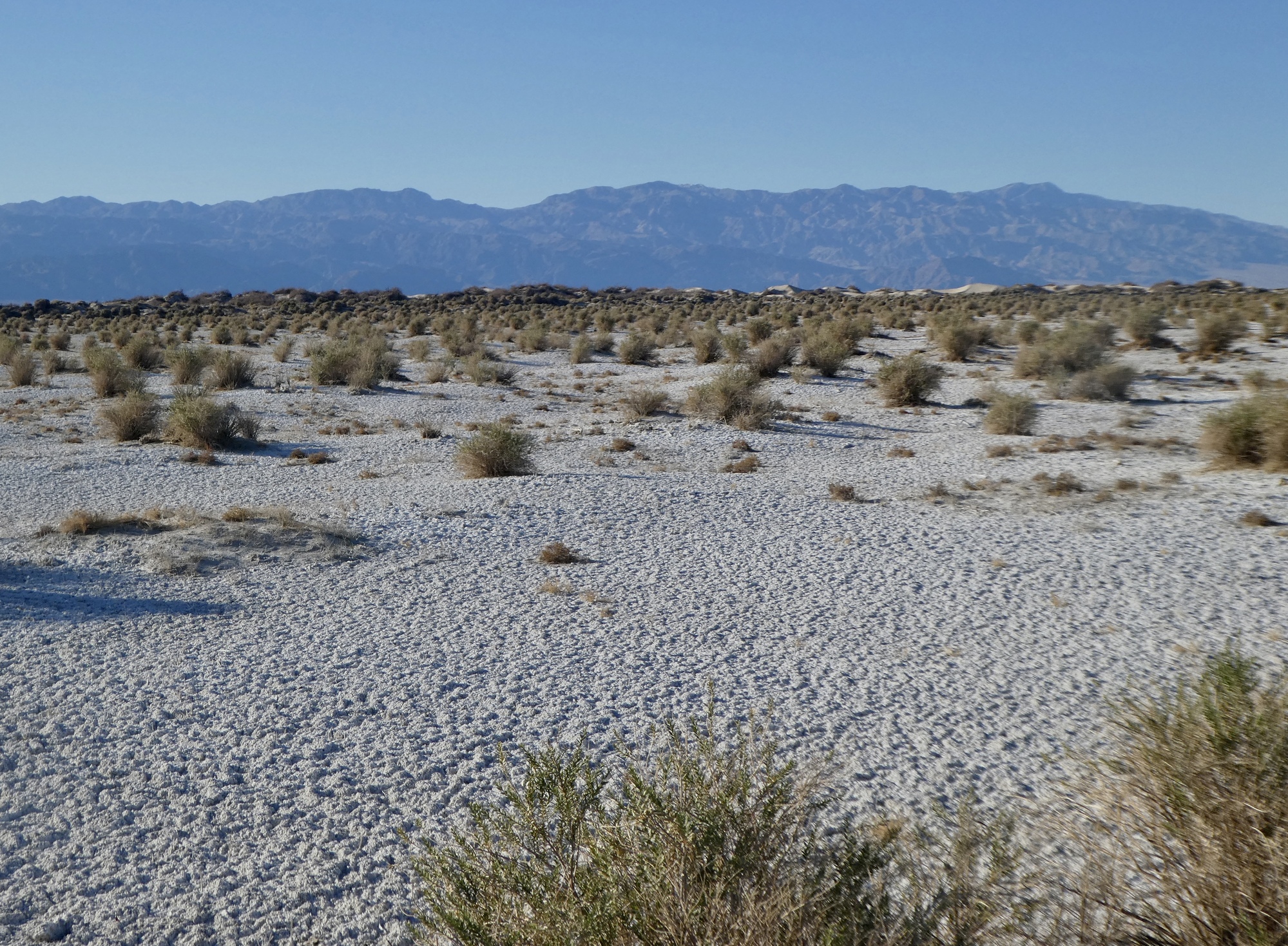
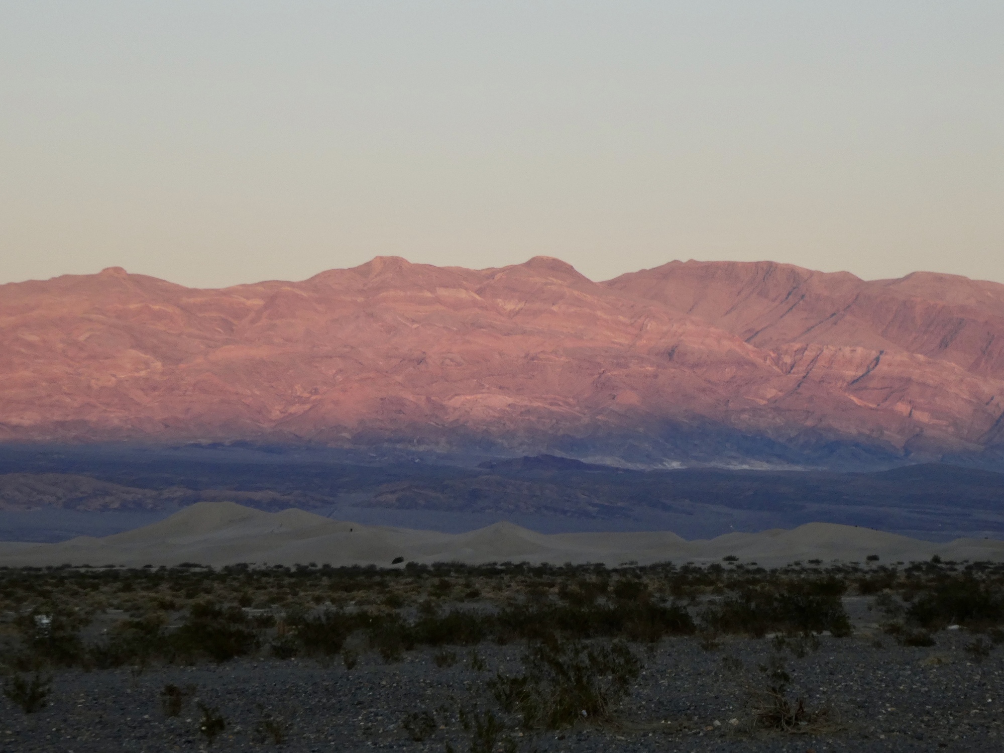
We had thought this might be the day we would stop in at the Mesquite Dunes. In fact, in the morning we had even speculated that we might just stop off on the way back to the room. Out of the question though when we biked by this afternoon - and once back in the room neither of us is really interested in stirring much again. We’ve had enough for the day, and are pretty happy to head to the restaurant as soon as it opens, nd crash early.

| Heart | 5 | Comment | 0 | Link |
Video sound track: A Horse With No Name, by America

| Heart | 3 | Comment | 0 | Link |

| Heart | 2 | Comment | 0 | Link |
| Heart | 0 | Comment | 2 | Link |
6 years ago
Ride stats today: 42 miles, 4,700’; for the tour: 882 miles, 46,400’
Today's ride: 42 miles (68 km)
Total: 882 miles (1,419 km)
| Rate this entry's writing | Heart | 9 |
| Comment on this entry | Comment | 2 |
I was tempted to put in the comment, "Wow!" on almost every photo .. but I'll just give today's collection a collective "Wow!" How lucky we are to live in a country big enough to escape from the gnarl of suburbia into such awe-inspiring beauty.
Love the shot of the Ravens, too. I was wondering what critters you might hear out there. In the absence of birdsong, have you heard any chirping insects?
6 years ago
6 years ago