June 25, 2013
Day 2: To Rujada campground, Layng Creek
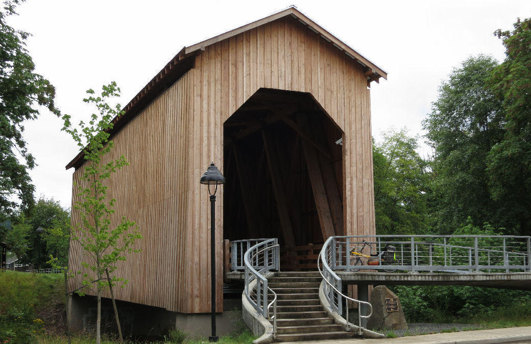
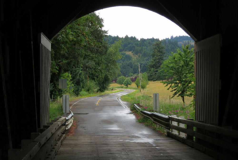
Oregon has an abundance of big trees, but few of the raw materials needed to make concrete and steel. Oregon once had 450 wood covered bridges, mostly built between 1905 and 1925. Most were torn down in the 1950's as highways were modernized. Today I will see 6 of Oregon's 51 remaining covered bridges.
It started to rain at 6 AM. I took down my tent in the rain and got on the road at 9:15 after a long conversation with the campground hosts. No hurry-today's ride is easy. The rain stopped from 9 AM-1 PM.
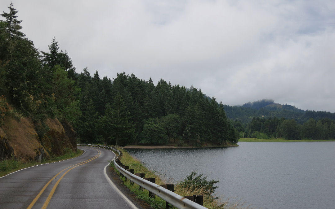
It's an easy ride to Cottage Grove (population 9734), downstream 10 miles along the Coast Fork Willamette River. The road enters town on 6th street, but I cut over a few blocks west to River Road to see the covered bridges.
I like the River Road area of Cottage Grove. It has many historic structures because it was once the main wagon road to California. Very green, next to the Coast Fork Willamette river. I wouldn't mind living there.
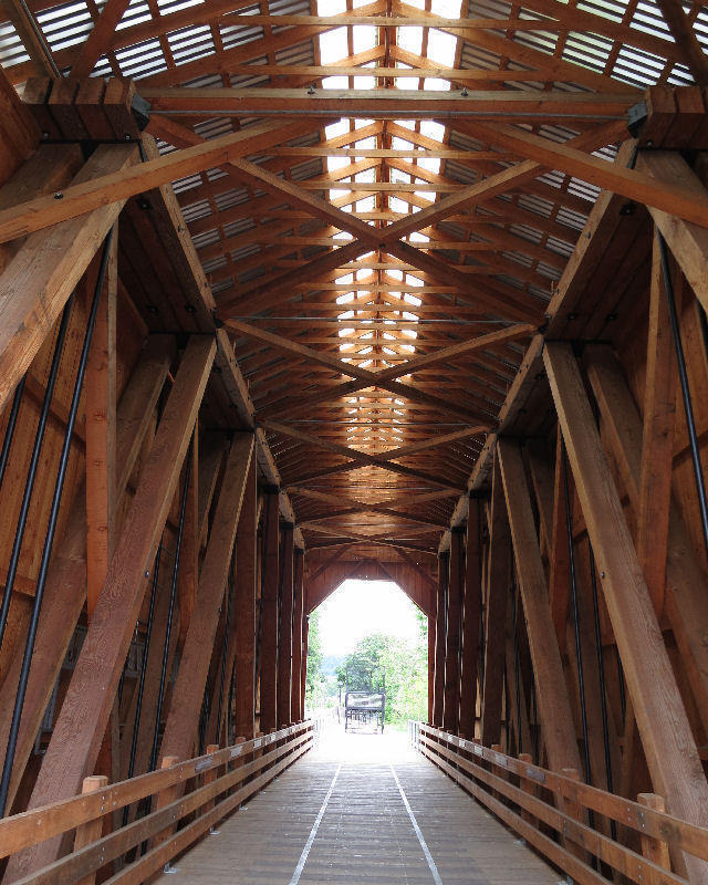
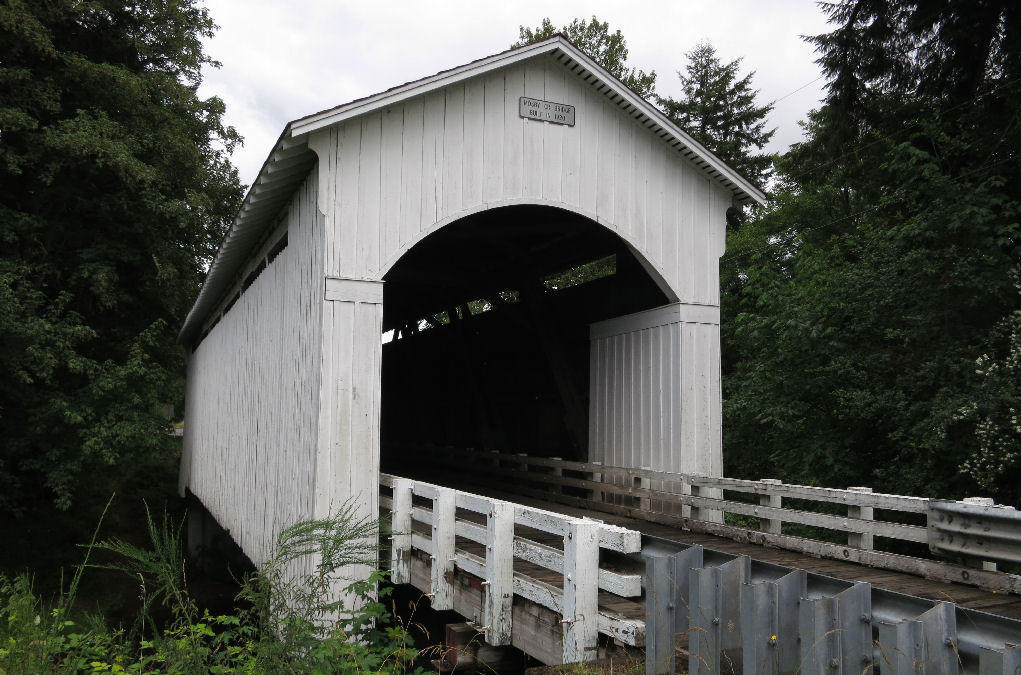
The first covered bridge is Chambers Railroad Bridge which looks brand-new since a 2011 restoration funded by a $1,315,370 grant from the National Historic Covered Bridge Restoration Program.
It's Oregon's only remaining covered railroad bridge. Most covered bridges have a small weight limit but this bridge can support a 50-ton locomotive.
| Heart | 2 | Comment | 0 | Link |
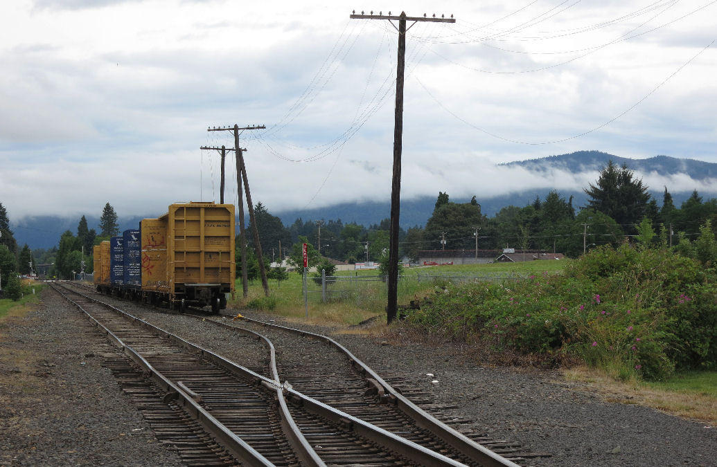
The trains hauled logs to a nearby sawmill that is now long gone. Cottage Grove was once a major sawmill town but the sawmills are all closed now. The town also had a short boom supplying gold mines on Bohemia Mountain. Now it's best characterized as a sleepy bedroom community for the city of Eugene 20 miles north.
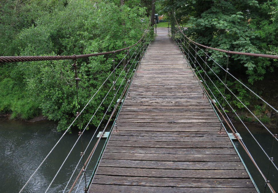
Half a mile downstream I stopped at the Swinging Bridge. It's unusual to have a pedestrian swing bridge in the middle of town. But it's not a covered bridge, so it shouldn't really be bridge #2 on the Cottage Grove Covered Bridge Tour brochure.
| Heart | 0 | Comment | 0 | Link |
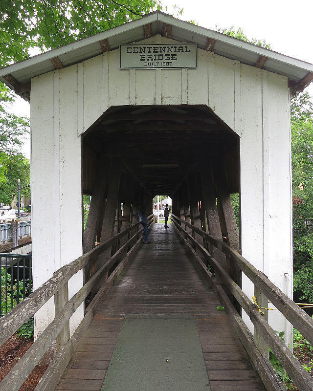
The second covered bridge crosses the river on the edge of downtown. It's actually quite new, built in 1987 for Cottage Grove's centennial celebration using timbers salvaged from two old covered bridges that were dismantled.
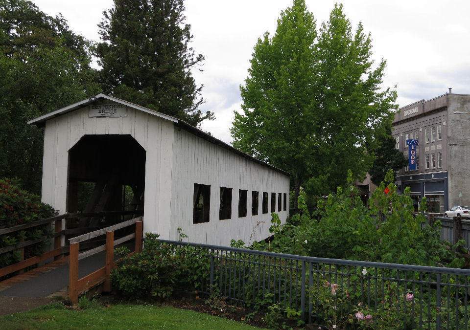
| Heart | 1 | Comment | 0 | Link |
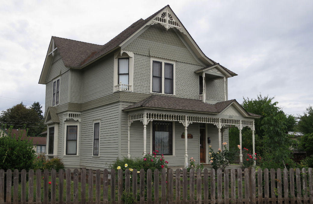
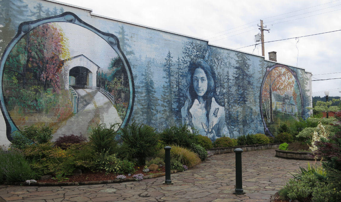
I stopped for lunch and looked around charming downtown Cottage Grove. It has many interesting historic buildings and nice parks nearby. One of the most appealing features is that it's NOT a tourist attraction.
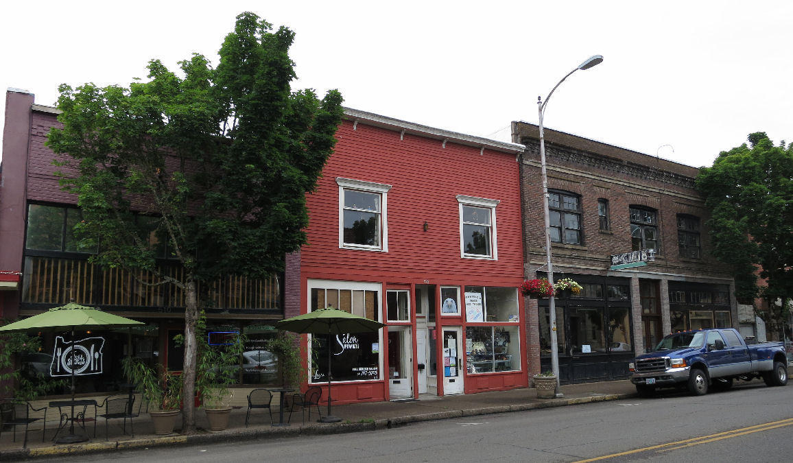
| Heart | 1 | Comment | 0 | Link |
| Heart | 0 | Comment | 0 | Link |
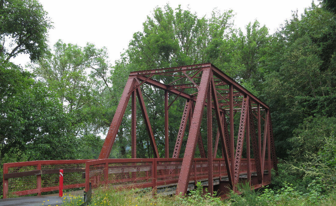
After lunch I stopped for groceries at Safeway and continued east out of town on Main Street which becomes Mosby Creek Road outside of town. Once out of town I cut over to the Row River Trail which parallels Mosby Creek Road. After a couple miles the rail trail turns away from the road and crosses Mosby creek on an old railroad truss bridge.
It started to rain as I left Cottage Grove. It rained off and on for the rest of the day.
| Heart | 2 | Comment | 0 | Link |
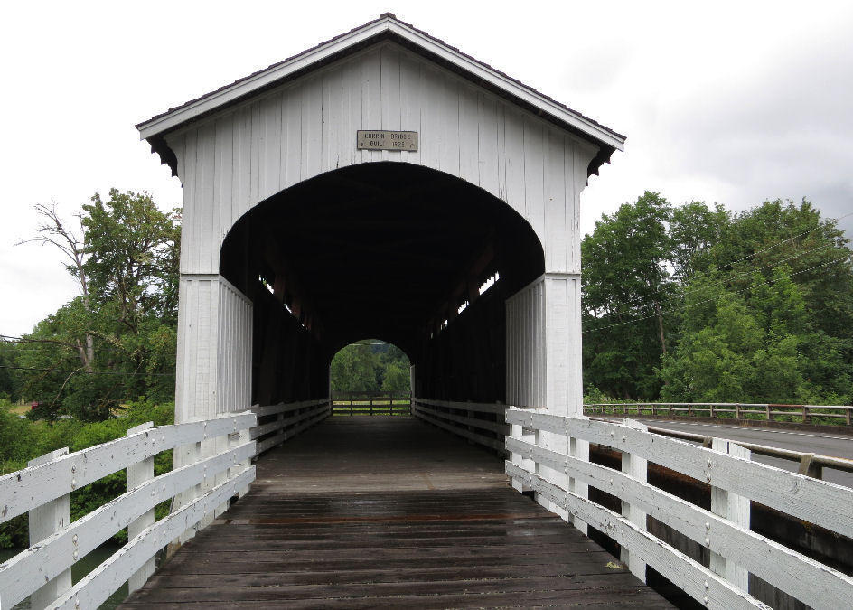
My next stop was at Currin Covered Bridge. It's closed to motor vehicle traffic but you can walk and bike onto the bridge. The new bridge is only 10 feet away.
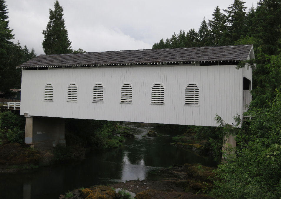
A mile later I stopped at Mosby Creek Covered Bridge which is open to 1 lane of motor vehicle traffic.
| Heart | 1 | Comment | 0 | Link |
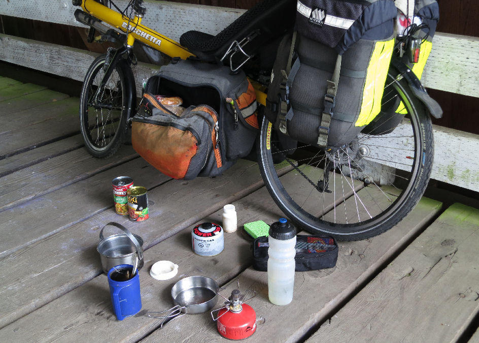
A couple miles farther east I stopped at Stewart Covered Bridge. It started raining heavily as I was about to leave, so I stayed longer and made tea in the shelter of the bridge. It's closed to motor vehicle traffic.
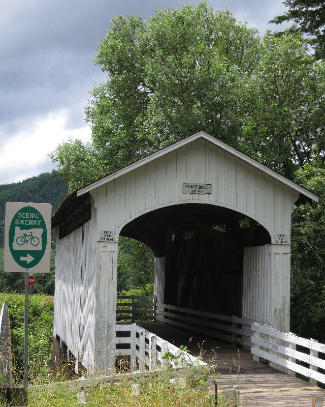
| Heart | 2 | Comment | 0 | Link |
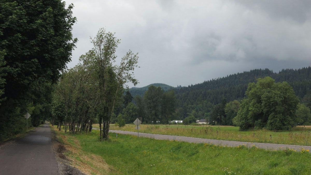
The valley east of Cottage Grove has occasional flat areas big enough for hay fields. It's nice to see a few farms before disappearing in the forest for several days.
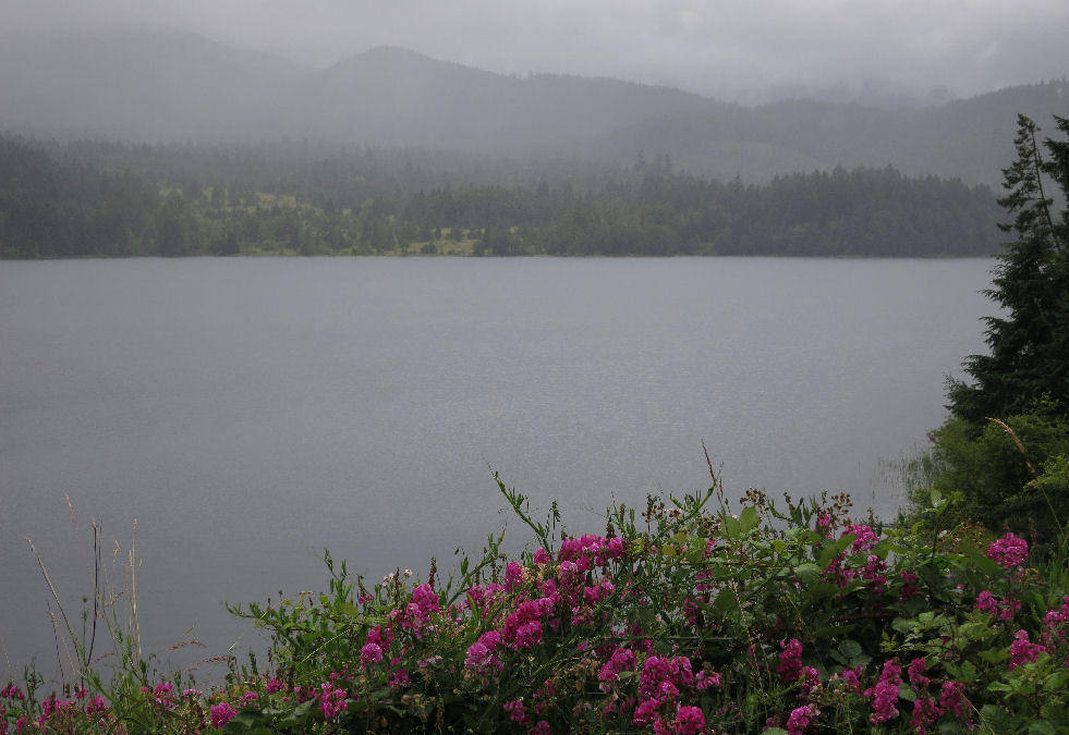
I didn't get any good pictures of Dorena reservoir because it was raining. It's also built by the U.S. Army Corps of Engineers as a flood control project.
| Heart | 1 | Comment | 0 | Link |
The day's final covered bridge is east of Dorena reservoir. Dorena covered bridge crosses the Row river just upstream from the reservoir. It's comparatively new, built in 1949. The roadway is wider but still not quite two lanes wide.
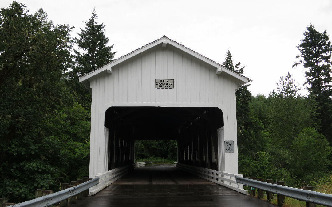
| Heart | 1 | Comment | 0 | Link |
It was nice to see the Row River flowing freely again. I like that much better than seeing a reservoir.
Just past the Sharp's Creek Road turnoff I turned left onto a seldom-used road called Lower Brice Creek road which is across the Row River from the main road, Row River Road. Strange name because it goes along the Row River, not Brice Creek.
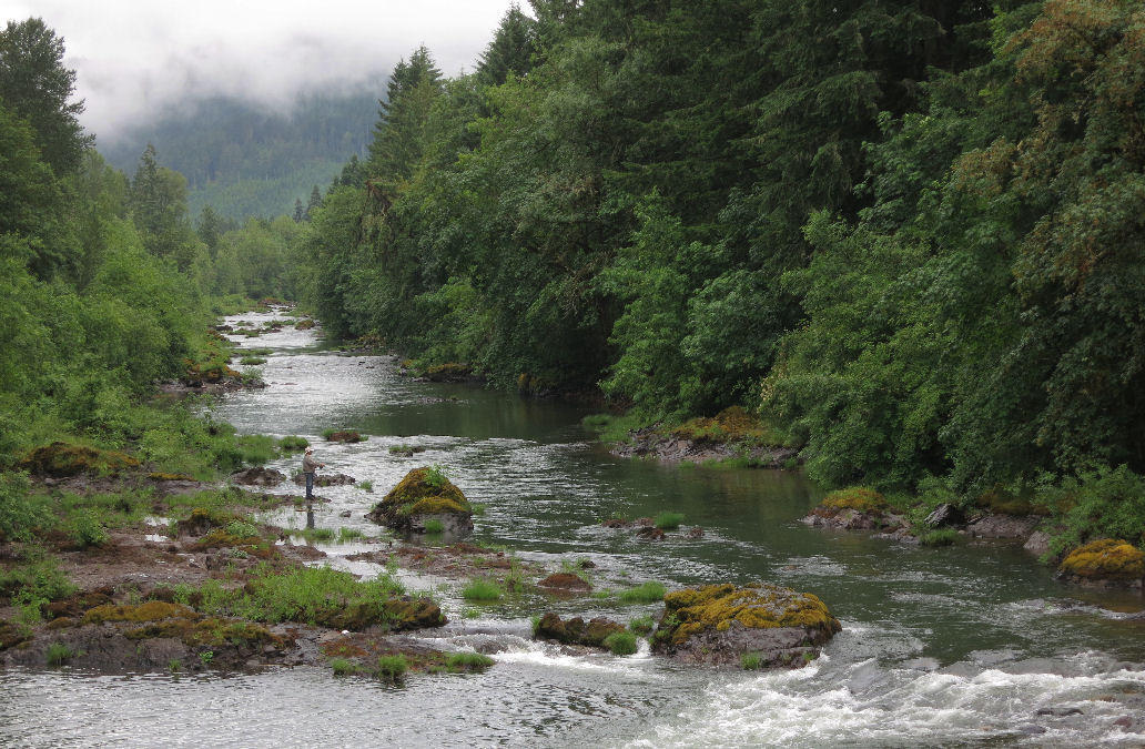
I didn't see a single car while pedaling 4 miles on Lower Brice Creek road. It has many nice river views. The main reason I took this road was to see Wildwood Falls, where the Row River drops 15 feet over a basalt escarpment. I only had to scramble a couple steps down from the pavement to get a good view. Finally, the first waterfall of the waterfall tour.
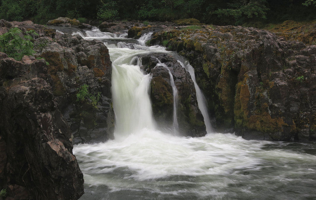
| Heart | 2 | Comment | 1 | Link |
2 years ago
Wildwood Falls is a popular swimming and diving spot on hot summer days. I was the only person there on a cloudy 60F day.
Lower Brice Creek road connects to Layng Creek road just upstream from a fork in the Row River. The north fork is Layng Creek. The south fork is Brice Creek.
Two miles up Layng Creek road I entered Umpqua National Forest and turned into the Rujada campground at 6:15 PM. It has 13 campsites but only the camp host site and one other site were occupied. I paid $24 for 2 nights. The campground has water faucets and flush toilets. Water probably comes from the Cottage Grove municipal water treatment plant half a mile away. To keep the city's water supply as pure as possible, swimming is prohibited upstream from the water treatment plant.
The campground was built by the Civilian Conservation Corps in the 1930's, but has been rebuilt since then. The original CCC work camp is still standing, upstream from the campground. One of hundreds of CCC work camps in Oregon alone. The campground has a lush understory and very tall trees. I can't see far through the forest, but I hear noisy cascades on Layng Creek, down a steep hill. The best creek view is where the road crosses the creek at the campground entrance.
It didn't rain very much in the evening but it was cool, calm, and humid enough that all my wet stuff stayed wet. The dampness is getting annoying. This is supposed to be summer!
There is no Verizon Wireless reception, so I couldn't call my wife or check the weather forecast. That's okay. I'm enjoying being out of touch in the forest, even though it's a bit buggier than I expected.
Today was overcast all day with frequent showers. High of 65F. Essentially no wind. Not bad for bicycle touring, except a bit wet. The terrain was very easy today. Downstream to Cottage Grove, then gentle upstream to 1200 feet elevation.
Distance: 37.6 miles (60 km)
Climbing: 1244 feet (377 m)
Average Speed: 9.9 mph (15.8 km/h)
Unpaved roads: 0
Hiking: 0
Waterfalls: 1
Covered Bridges: 6
Today's ride: 38 miles (61 km)
Total: 68 miles (109 km)
| Rate this entry's writing | Heart | 2 |
| Comment on this entry | Comment | 0 |