May 1, 2018
Day 36: Colombiers to La Redorte
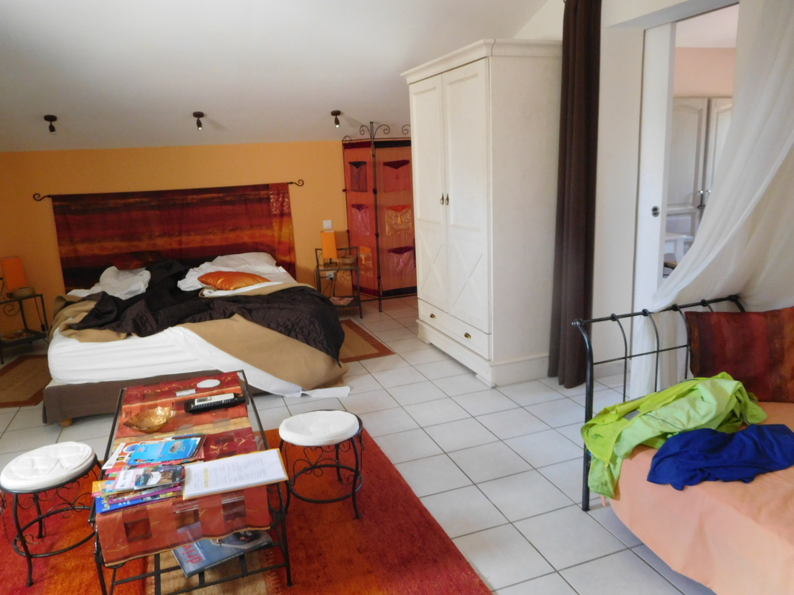
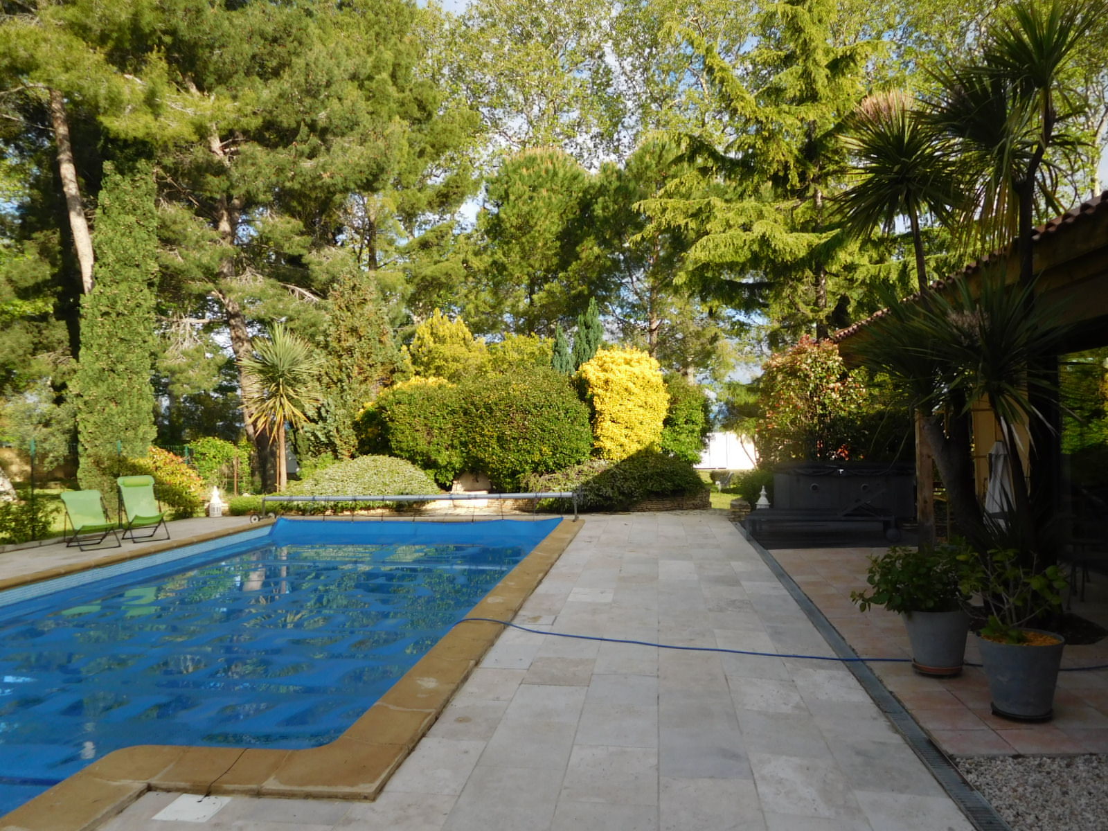
Last year as we took ourselves on the Chemin St. Jacques and were heading from Arles toward Spain, using the Canal du Midi, we fetched up in the town of Colombiers. Tourist Information directed us to a B&B called La Colombiere, and so randomly we came to one of the best places we have found in France. It's a house and garden owned by Pierre and Evelyne and it's main characteristic is that the space is large and the house and garden is beautiful. The impression might not have been so good had not Pierre himself been such a great host. He was also interested in our trip and followed the blog after we left.
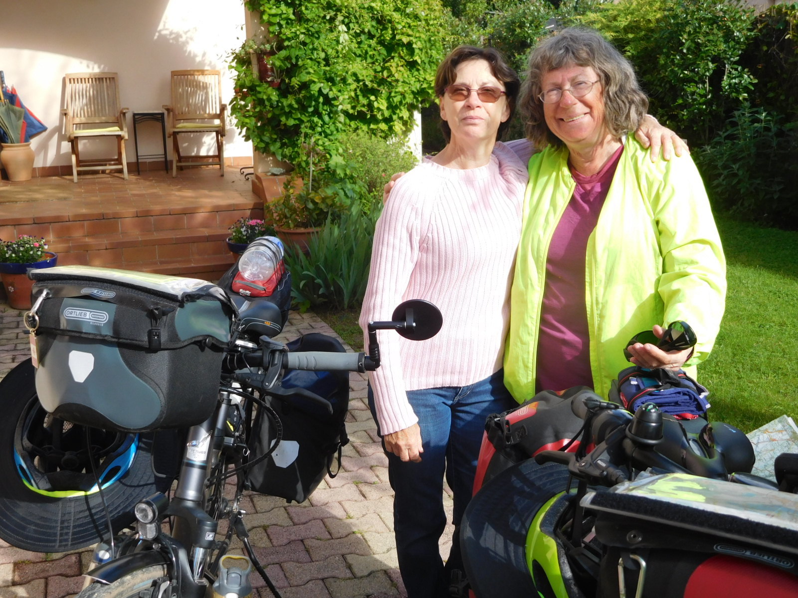
At that time Evelyne was off on a trip, so we did not meet her. We made sure to stay again, on this trip, and this time found Pierre away. But Evelyne was his equal in hospitality.
| Heart | 1 | Comment | 0 | Link |
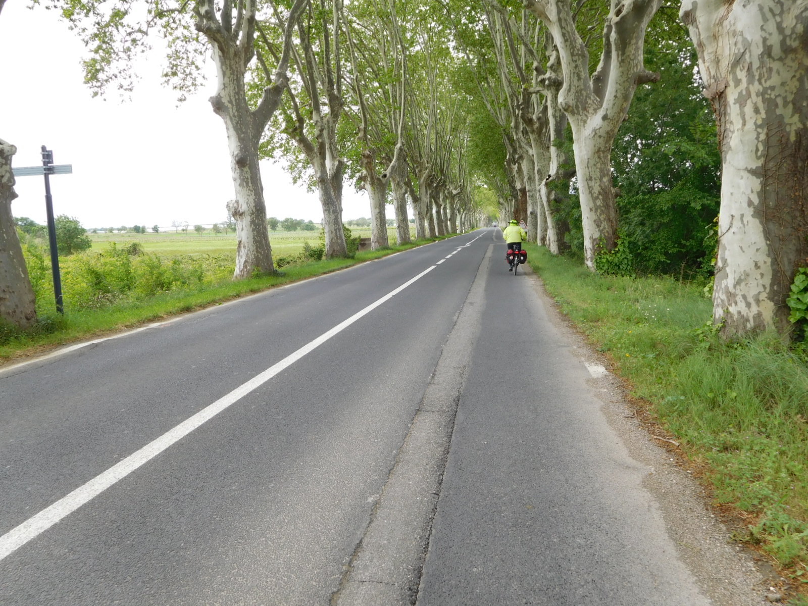
La Colombiere actually has its back gate directly on the Canal du Midi, but in neither case did we arrive or leave that way, since as we well know the path is not suitable. So off we went by road.
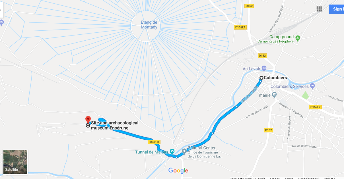
The road in question, at least for this starting out bit was a mercifully small one. We only needed to go 2 km before stopping. The reason is that Colombier happens to sit beside a unique cluster of interesting sites. The basis of most of it is a small mountain, or perhaps it is better described as small ridge, called the Malpas hill. It seems like a fairly ordinary bump, sitting as it is between much more serious hills - the Pyrenees to the south and the Cevennes to the north, but here it is.
The first thing that happened was that the Gauls built a village at the top, around 600 B.C. With the coming of the Romans, the village found itself on the "Domitian Way", a road from Rome to Spain, in the first century B.C. The town had the name Enserune. Since it was a "perched village", it was an "oppidum", hence its current name Oppidum Enserune.
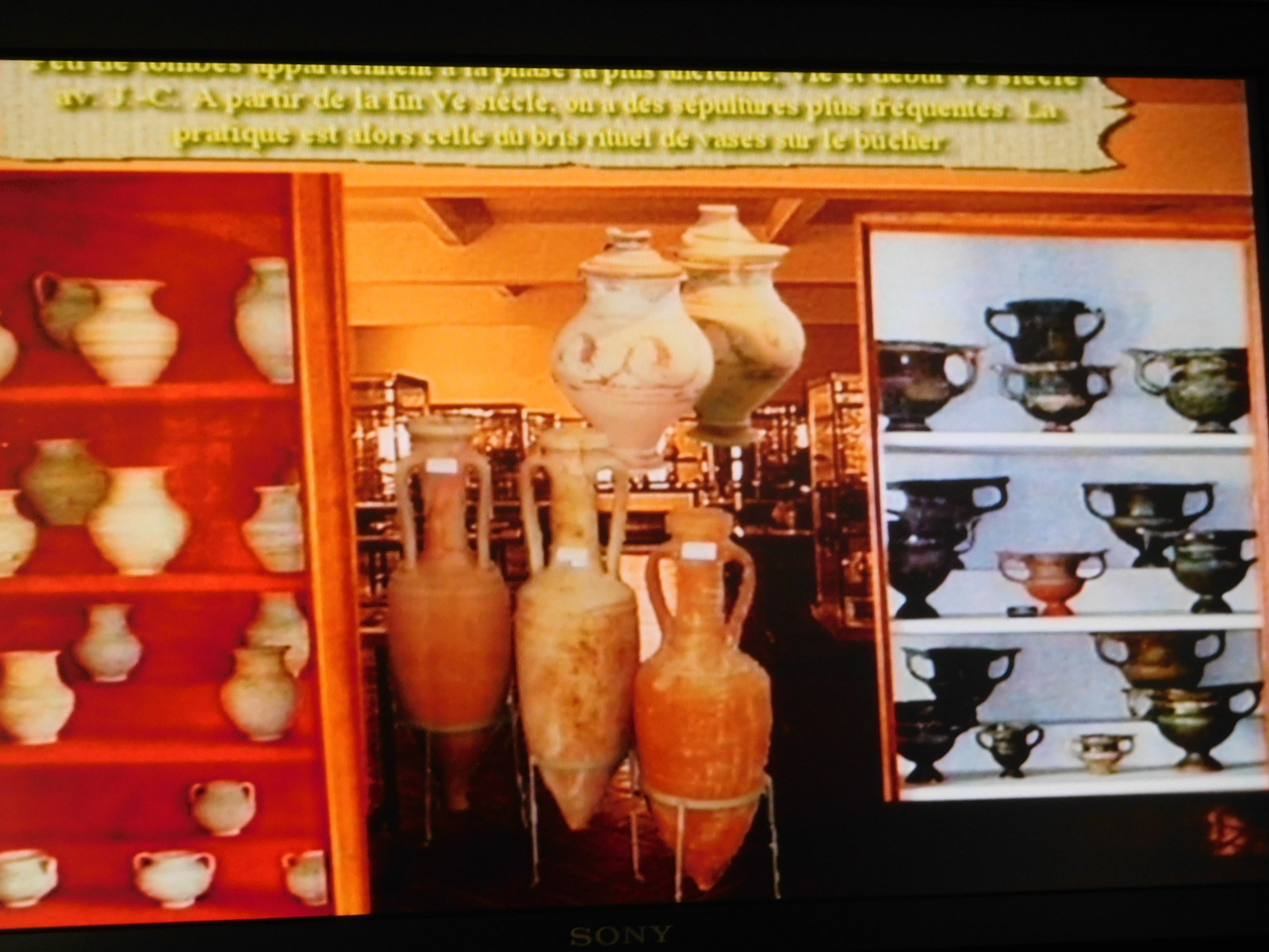
Today this is an archeological site atop the hill, with a large building that we have never quite climbed up to, housing the artifacts that have been found and telling the story of the town.
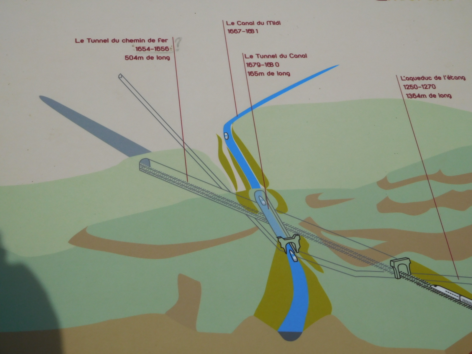
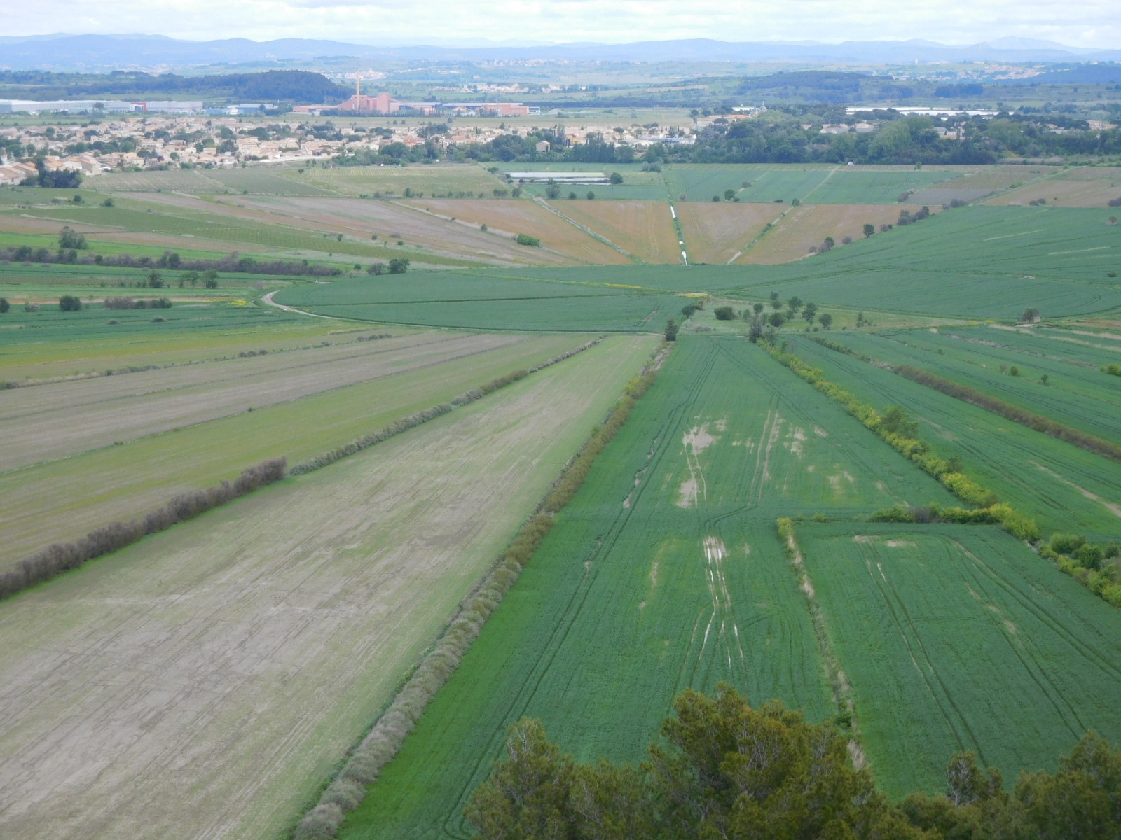
So that's on top of the hill. Below, there was a 400 hectare depression filled with water - no reason not to call it a pond. This was a good natural defence and also a source of fish. But in the 13th century for public health reasons it was drained. What made it unique and fancy was that the drainage channels were made in a starburst shape. The drainage channels led to the centre low point, and from there the water was channeled away underground. If I understand correctly, the channel went right under the mountain. What remained was a very photogenic and incidentally agriculturally productive radial design. This appears clearly today on the Google Map:
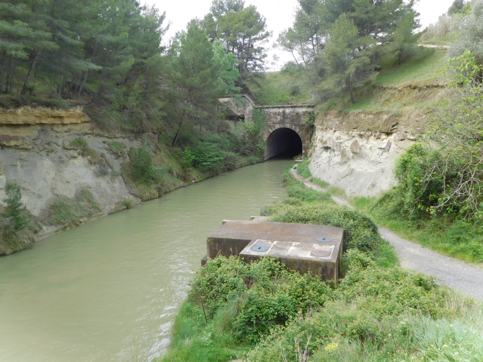
Now in 1666 along comes Pierre Paul Riquet with a plan to build a canal from the Garonne River in the west, through to the Mediterranean. Ships could then pass from the Mediterranean to the Atlantic. The canal distance was 240 km, and involved an impressive number of locks and bridges and an army of workers. There are many books about this major work, which is now a UNESCO world heritage site, not to mention the bane of our current lives because of its lame tow path.
One of the challenges the Canal had was of course routing, and for some reason Riquet wanted it to come this way. The mountain, though, was a problem. Riquet said we'll just go through it, but there was concern that the rock was too crumbly. Now I may be making up this story a bit, since I am just recalling what I think I understood from a documentary film in French, but the drainage tunnel from the pond was discovered, and this was a strong hint that one could go through. Riquet still faced opposition, but he went ahead and did it anyway. Better to apologize later than to get Louis XIV's permission first? Sounds risky.
The resulting tunnel did have a tendency to drop rocks on the boats going through, leading to various reinforcing strategies over the years. One fo the ideas was to just clear away the overburden, opening the canal to the sky. But that would require moving a huge volume of mountain away, so it was nixed.
Next came the railway, 1854, I think. Everybody wants to go through this mountain! Now a railway tunnel crosses little more than a meter under the canal tunnel!
In the nearby Tourist Information building there are models showing the various tunnels turning the mountain to Swiss cheese.
The Tourist Information is where we watched that perhaps poorly remembered documentary. While we were there four rather shell shocked touring cyclists came in. Why shell shocked? They came off the tow path. They were slogging through the mud with their standard touring bikes, and had at one point even had to remove a rear wheel to clean enough mud to keep going. Their direction was east, and they asked us if the path was better in that direction. We had to tell them the sad news. But they had a good map and like us will find a way on D roads.
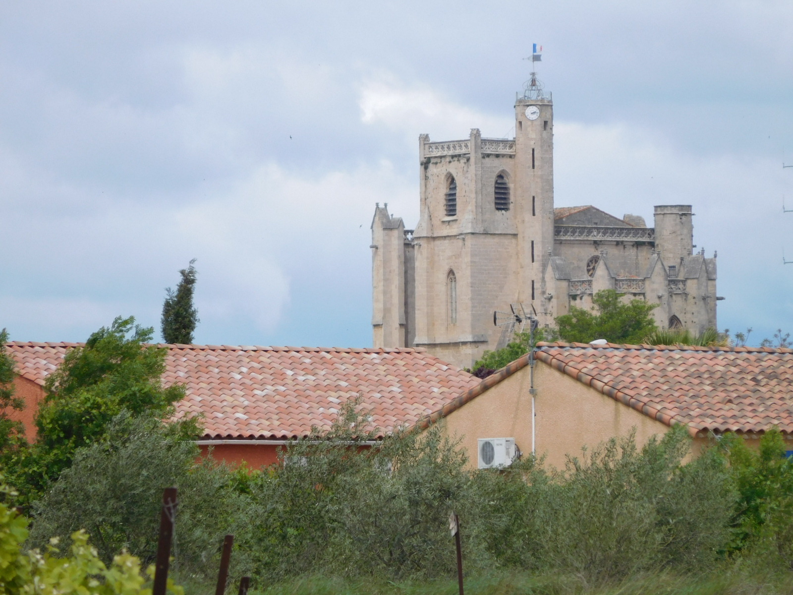
We ourselves now set off, using the D37 through Poilhes, to arrive at Capestang. As we have found with other towns. you get a different idea of the place from a distance than from when you are in it. At a distance this one looks very tidy, with a church (St Etienne) in the centre and clustered similarly coloured houses about. Closer in, of course, it's a muddle and you may not even spot the church at times.
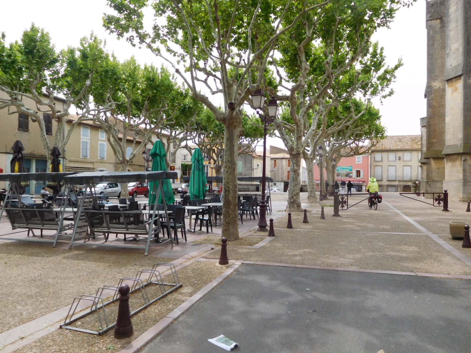
What I really liked about Capestang was its modest central square. This had all the essential elements - the church, a bakery, four restaurants, a bar, and a bank, with seating in the centre. The bakery of course was closed, because this is May 1, and/or it was between 12 and 2, and/or it was Tuesday. Hey, we're starving out here on these good benches! Just kidding, actually. We had foreseen May 1 and had food on board.
| Heart | 1 | Comment | 0 | Link |
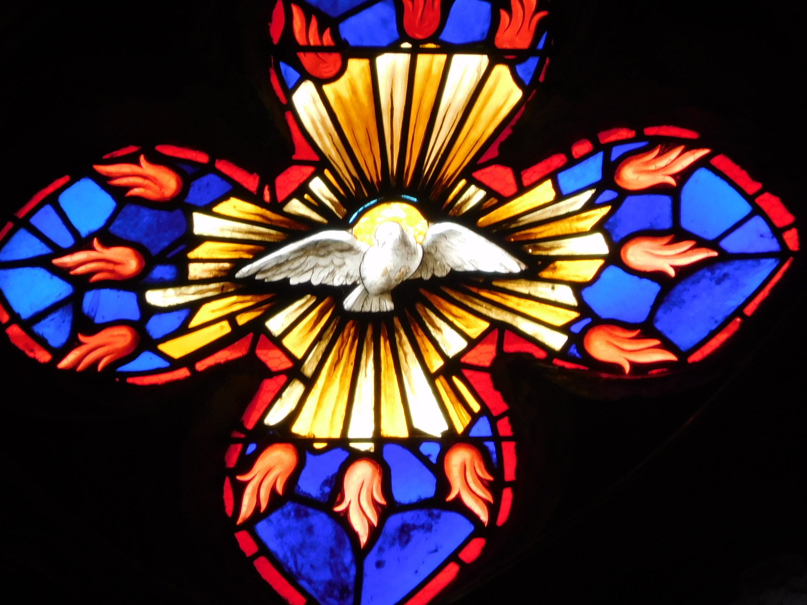
The church had some nice stained glass, as is often the case. I liked this piece:
We had scoped out a small series of secondary roads for the push further west, toward Carcasonne. But first we had a look at D11. This is the road that cuts out all the nonesense, including wiggles in the Canal du Midi itself, and just gets on with the westward journey. In 2013 we had used it, but complained about trucks. In 2017 we had chickened out, and slogged through the mud on the Canal. This time, especially since it was a holiday (and maybe a truck holiday), it looked ok. We told ourselves we would try, and bail out if necessary.
| Heart | 3 | Comment | 0 | Link |
Taking the direct route was a good idea too, because we had started late and then hung around Malpas mountain for a long time. And then there was the wind. Better mention the wind. Out here it is not the Mistral, but rather the Tramontane. This blew hard in our faces all day. Without it we would likely be in Carcasonne, but as it was, progress was pretty slow. According to Wikipedia the continuous howling noise of the tramontane is said to have a disturbing effect upon the psyche. Victor Hugo, for example, describes this in his poem "Gastibelza". Fortunately the wind did not make us crazy, just slow.
This was the first day on which we had not tried to book a place to stop, since how far we would get was unknown. Using the D11, we passed by Argeliers, and then Pouzols - where we had ended the day in 2013. We carried on to La Redorte, but just 49 km for the day.
When we had started on D11 traffic was light, but as the day progressed and perhaps as we drew closer to Carcasonne, cars began to pass by very frequently. On a no shoulder road, it's always unnerving to hear a speeding car coming from behind. They always do pass giving us a good clearance, but there is still the noise, and of course the "entertainment" of seeing by how much they will miss the head on collision, as they pull into the oncoming lane to afford that good clearance. Drivers here will never wait for the opposing lane to clear unless there is really zero chance of making the pass. If there is any chance at all, they will take it! (By the way, a blind corner or hill is defined as a good chance. Only another car really visibly in the way is a bad bet!)
By the time we reached La Redorte we were glad to get off D11, which anyway had changed its stripes and was now D610. Tomorrow we will think of something else.
La Redorte was shut down tight, but we pulled up in front of the gate of La Marelle, a B&B for which we had spotted a sign on the road. We phoned, though we were standing in front, and learned the price was 75 euros including breakfast. Ok, done.
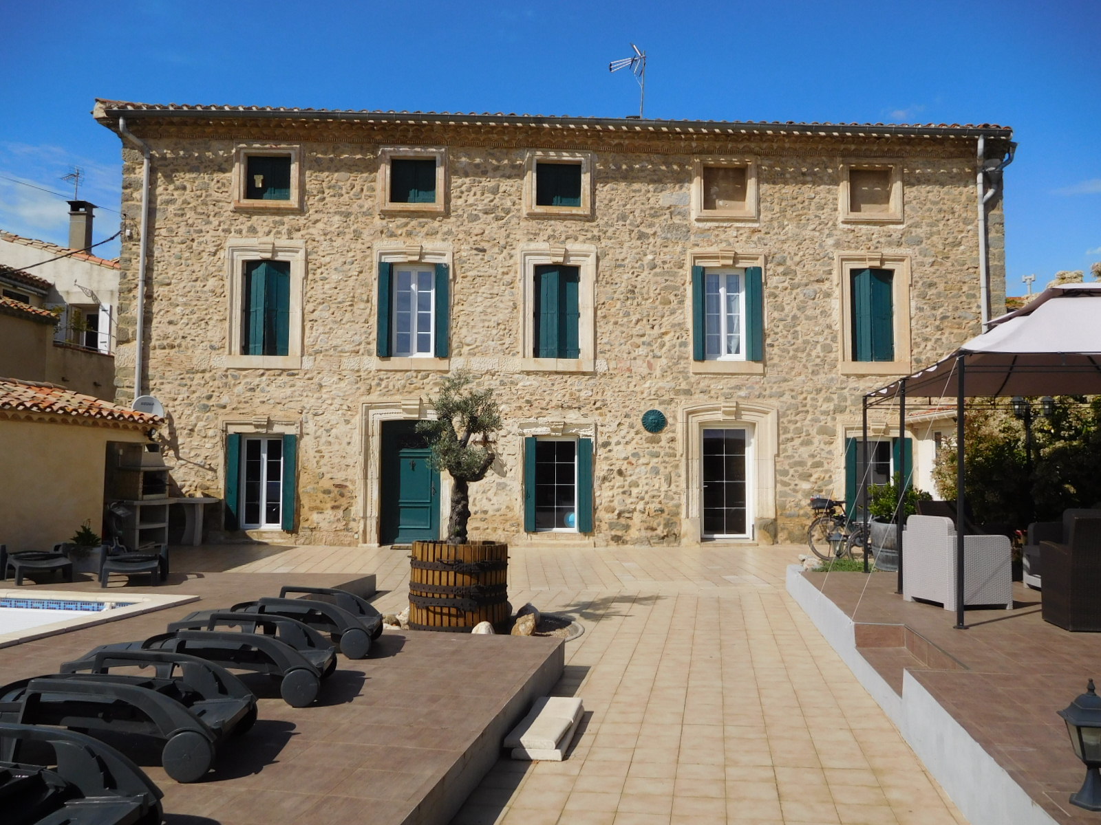
The lady who came to let us in was Florence. A Belgian who speaks English, she had just come from living on Easter Island, and had bought this place three months ago. She said she fell in love with the building, and we can see why. It's huge and we have not seen all of it, but it's old and beautiful.
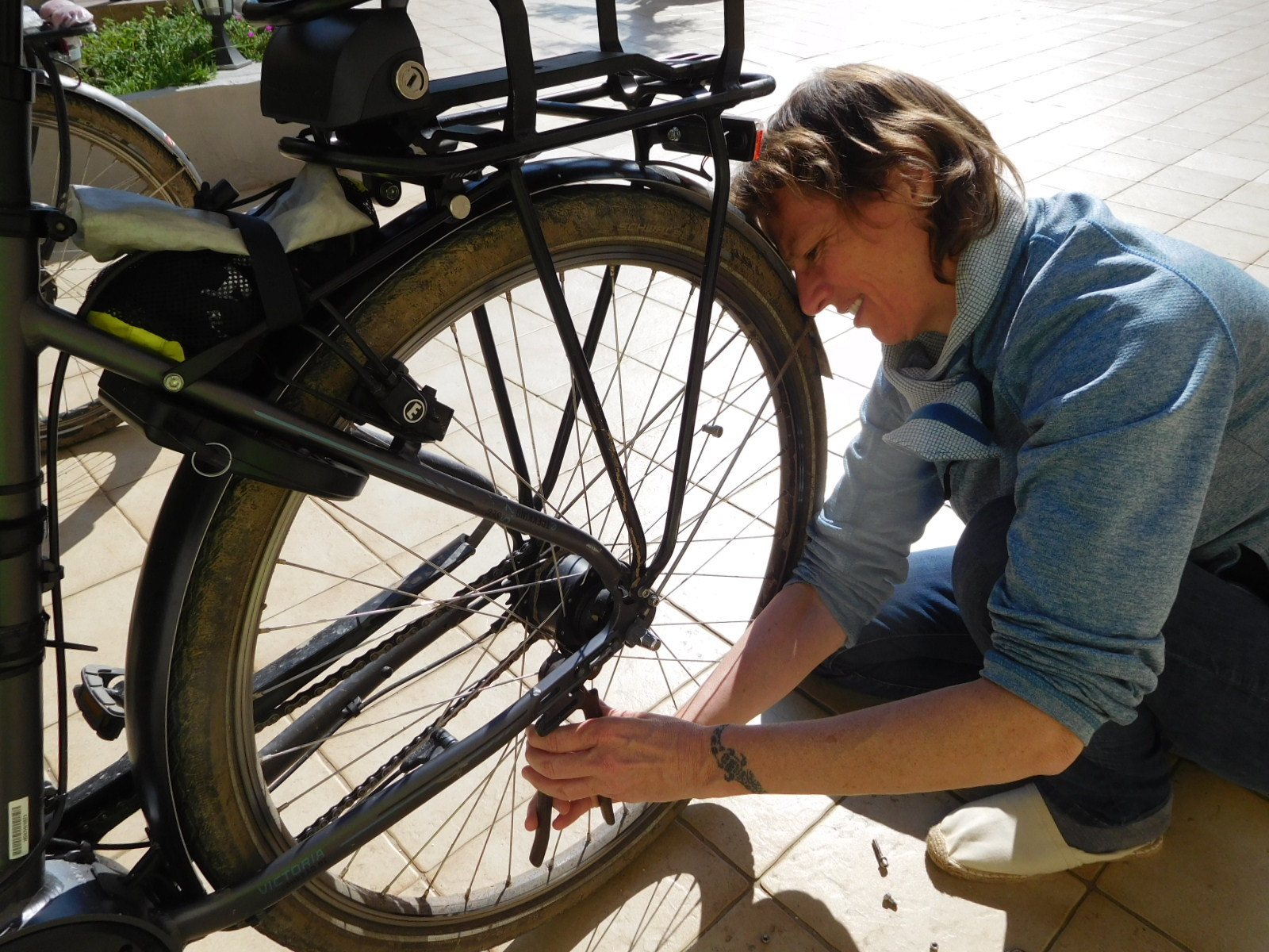
Almost since my bike left Apeldoorn I have been coping with the stand, which while very sturdy, is held on by two mounting bolts that were continually loosening. I tried to remove them so as to apply Locktite, but something was preventing them from coming out. So I just fell back on tightening daily, and waiting for the day when we would fall across a bike shop.
The day for something to happen on this came, but it did not involve a bike shop. Rather, when I put my stand down on Florence's patio, one bolt just fell to the ground. "Well", I thought, "that solves the problem of getting it out!". But no, later research showed it had not fallen out but rather broken off, leaving most of the threaded bolt still in the frame.
Florence had volunteered that she had some tools, and I asked after a pliers. She did not have this, but did come up with a wire cutter that almost worked. Oh well, we had fun trying. Now we are truly looking for a bike shop. The nearest is in Carcasonne, where there are two. Both are closed from 12 to 2, which we feel is when we are likely to arrive, of course.
We are enjoying being in this huge, almost spooky, old house. Florence and her young son are using a couple of rooms somewhere downstairs, and we are otherwise alone. Feeling a little chilly, I wanted to ask about the possibility of some heat. Not finding anyone, I used my cell phone to speak to Florence. That's a good indication of being alone up here! Florence did materialize and showed us two fluffy quilts. Good idea!
Special Note: We always try to acknowledge or answer all comments that people post in the blog. But we think we may have dropped the ball on some. Please keep the comments coming, though. Even if we might miss acknowledging your contribution, we are reading and appreciating each one!
Today's ride: 49 km (30 miles)
Total: 2,356 km (1,463 miles)
| Rate this entry's writing | Heart | 7 |
| Comment on this entry | Comment | 0 |