June 22, 2018
Day 5 - Hochhausen to Uettingen
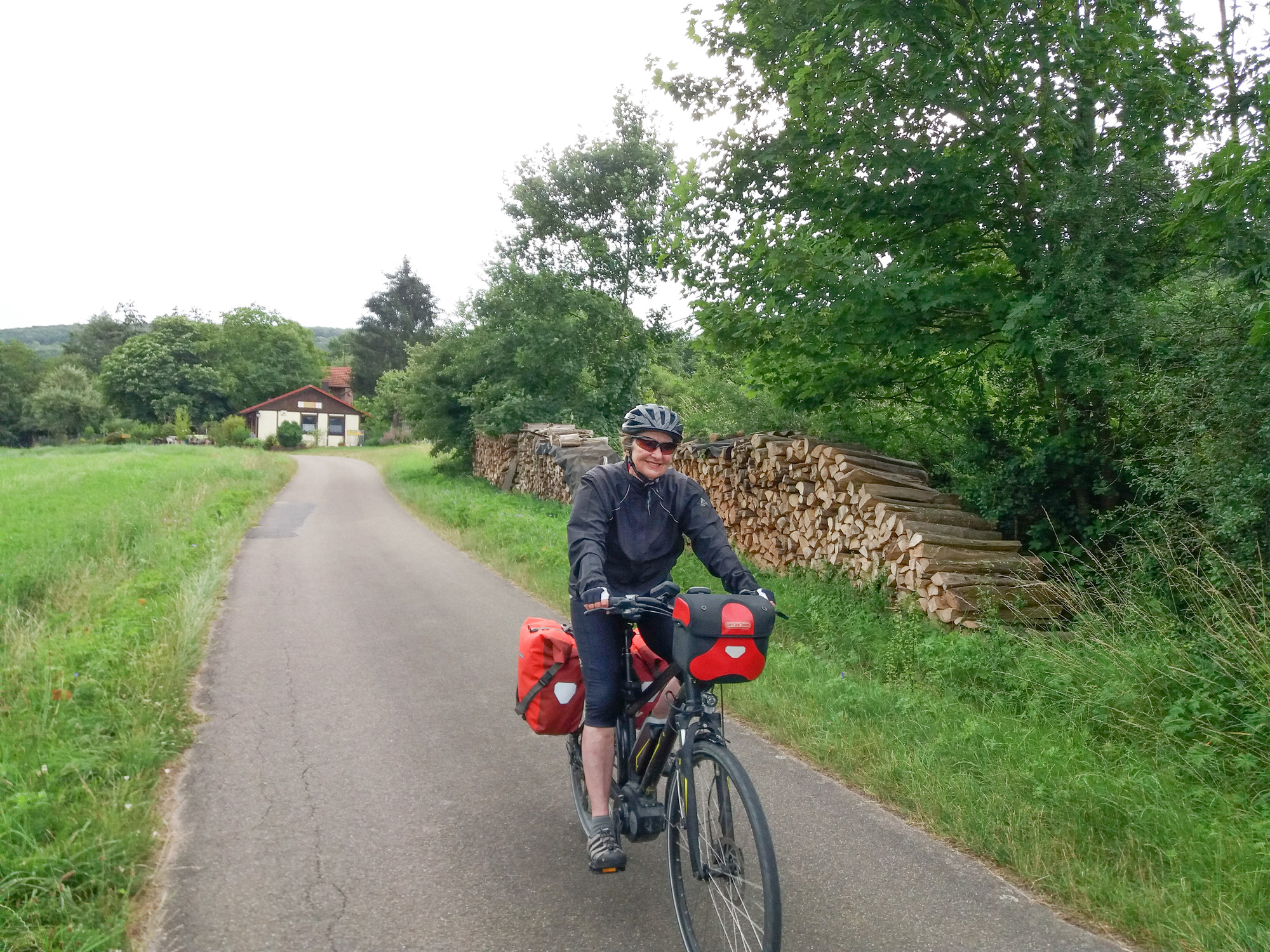
Overnight the temperatures drops from 28°C to 9°C, which sounds even better in Fahrenheit: 84° to 48°. And it is windy again. I am feeling no after-effects from my accident yesterday, just a few bruises, and am looking forward to this part of the Tauber Valley Bike Path which will snake back and forth on small roads following the river all the way to Wertheim. Today I am layering up, starting with my long sleeve merino wool shirt.

| Heart | 0 | Comment | 0 | Link |


| Heart | 0 | Comment | 0 | Link |

| Heart | 1 | Comment | 0 | Link |


| Heart | 0 | Comment | 0 | Link |


| Heart | 1 | Comment | 0 | Link |

| Heart | 1 | Comment | 0 | Link |

After 15 km we reach Bronnbach Monastery, one of the best preserved Cistercian monasteries in southern Germany.
It was established in 1151 and combines the building styles of Romanesque and Gothic. With secularization, the 650-year-long monastic history found its - provisional - end. In 1803, the monastery was repealed and the entire property was transferred to the princely house Löwenstein-Wertheim-Rosenberg.
We don't take the guided tour but even from the outside the buildings and gardens are impressive. I liked it and took lots of pictures.


| Heart | 2 | Comment | 0 | Link |


| Heart | 0 | Comment | 0 | Link |
We are in wine country now and the steep slopes of the Tauber Valley provide ideal conditions for good wine. However, in the late 19th century, a devastating phylloxera plague broke out in the European wine industry, destroying much of the continent's vineyards. Wineries all over Europe tore up and burned their family’s ancient vineyards in a desperate attempt to stop the spread of the disease. Here, too, the vineyards never recovered. We see many abandoned wine terrasses.


Kilometer 25 finds us in Wertheim and at the confluence of the Tauber and the Main rivers. We have sandwiches and coffee and tea in a simple cafe, look around a bit but are soon off. A few drops of rain fall and it all looks gloomy. On a sunny day we might have spent more time here.

We are sorry that the Tauber Valley Bike Path has come to an end. It was lovely, we weren't disappointed. We now follow the Main Bike Path for a short distance and I am again sorry that we can't continue on this flat bike path. If we wished, we could follow the loop of the river as it flows north and then south again, all the way to Würzburg, our final destination. But that would mean an extra 60 km. And we have already cycled that part of the Main Bike Path. Below is the route we don't take. We leave the path at Bettingen and head directly for Würzburg.

After eight km we leave the Main and strike out across the open fields. As always, when you cut off the loop of a river, you have a hill to cross. After climging about 3 km, we see some ugly commercial development and wonder why it is permitted that things like that can be built in such beautiful countryside. Then a small path branches off from the main road and we again have the lovely rolling countryside with sweeping views that I so love.


| Heart | 3 | Comment | 0 | Link |

| Heart | 2 | Comment | 0 | Link |
In the final kilometers, our planned route takes us on a gravel path paralleling the road. It's very slow going and I have to concentrate on the ground and can't even look at my surroundings. At the first opportunity we pick up the road. The traffic isn't bad, it's a good solution. The clouds are getting darker, we better hurry. We're almost there when the first rain drops fall, no need for rain jackets so close to our goal, we just pedal harder and increase the e-support. The rain doesn't last long and we arrive at our hotel a bit damp, but not soaked.
Again we are in a kind of small town. Our hotel has been run by the same family for generations, and has its own restaurant. The rooms are nice and the restaurant is good. It was a great day.

| Heart | 3 | Comment | 0 | Link |
| Heart | 0 | Comment | 2 | Link |
By the way, the map called "Map" gives a much clearer view of where you have gone than "RWGPS". This is controllable from the pull down menu on the map.
5 years ago
I like that the dropdown menu gives different options for viewing. "Map" gives a clearer overall picture, rwgps provides more detail. Terrain is cool, too.
5 years ago
Today's ride: 48 km (30 miles)
Total: 251 km (156 miles)
| Rate this entry's writing | Heart | 4 |
| Comment on this entry | Comment | 2 |
5 years ago
5 years ago