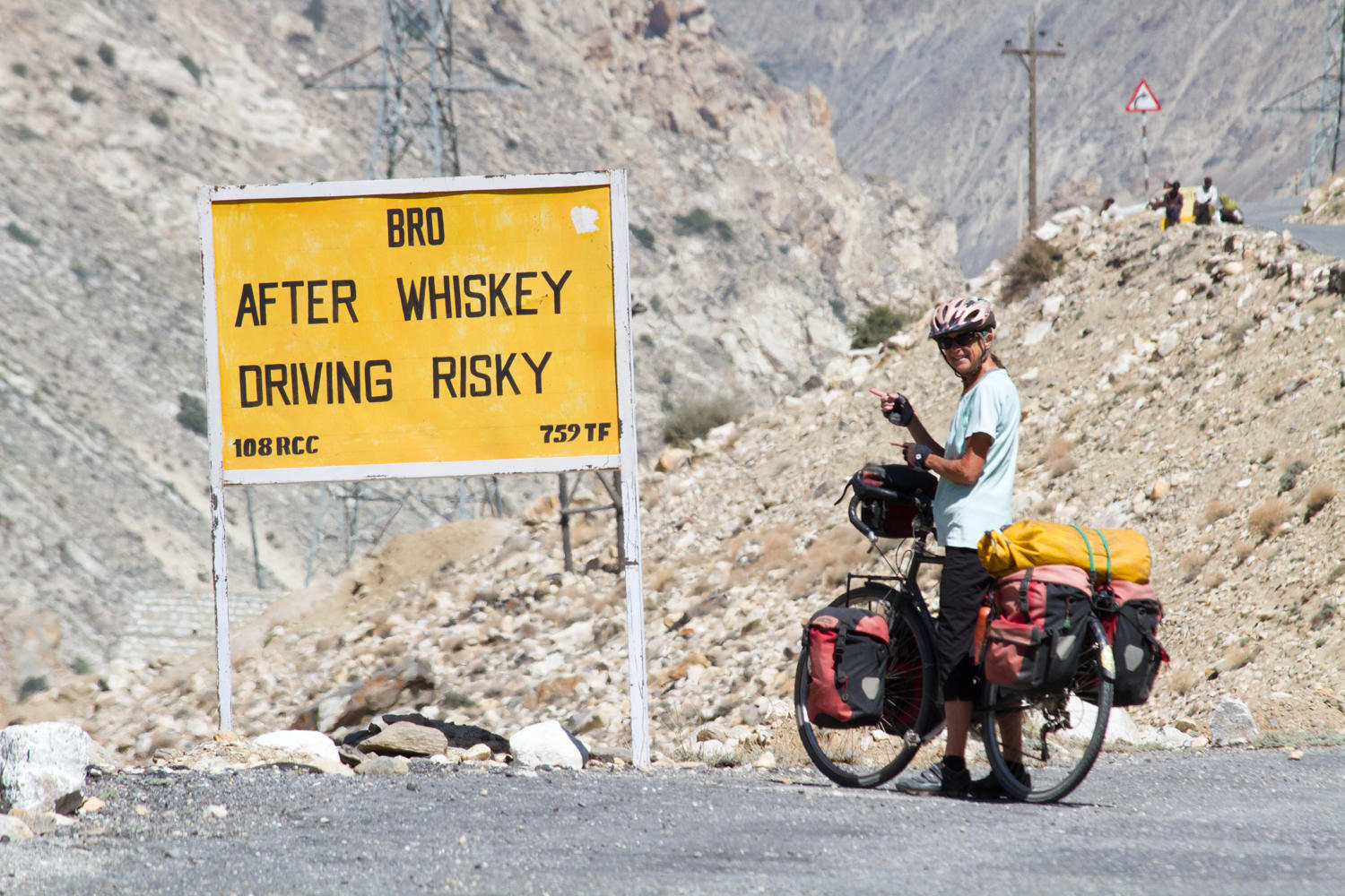
“The sky is so blue, we’ve definitely have left the hazy skies behind” Patrick says as throughout the day we climb 1000 meters. The day started with the descent out of Pooh to NH 22 and the road has a good surface to Dubling. We can’t confirm if there is a guesthouse now in Dubling if so that would save the 2km 250 meter climb into Pooh.
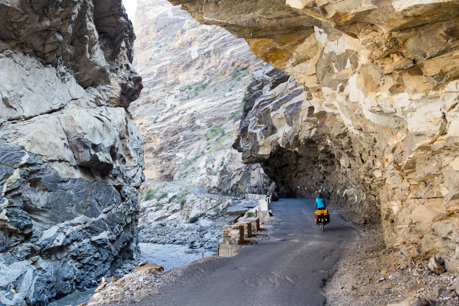
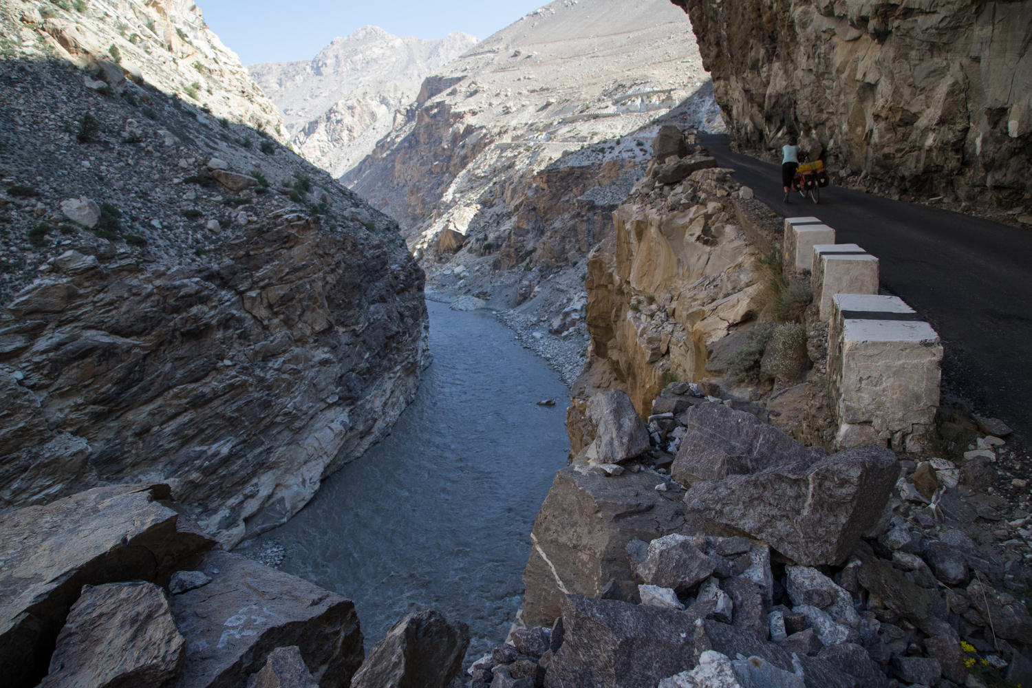
At Khab, we were expecting to find something for food or water, there has been nothing since Pooh. We crossed the bridge at the confluence of the Sutlej and Spiti Rivers and are on NH 5. This is a restricted area, no photography, but Rachel didn’t see the sign until after taking a photo and Patrick said to quickly hide the camera. If cycling from the other direction, take a look upstream of the Sutlej, and see the Tibetan Mountains. Immediately, we are in a canyon with the Spiti River rushing by. We stop for a break, and finish the bread with peanut butter, bananas and raisins. We are thinking that today we may have to stop and filter water. Then switchbacks begin to climb away from the river and 10kms to Ka. The hillsides are barren, with occasional pockets of apple orchards.
We are in need of water, and in Ka we see a sign for Dhaba pointing down into a small courtyard where a woman is doing laundry. Patrick asks if ”Dhaba open?” and he is waved down the rocky steps. He comes back with peanuts and mango juice, and then he asks if there is chapati. The woman says yes, and sets up table with umbrella and chairs for us. There is water, but we decide to filter to be on the safe side. This is the first time since Africa that we have filtered water.
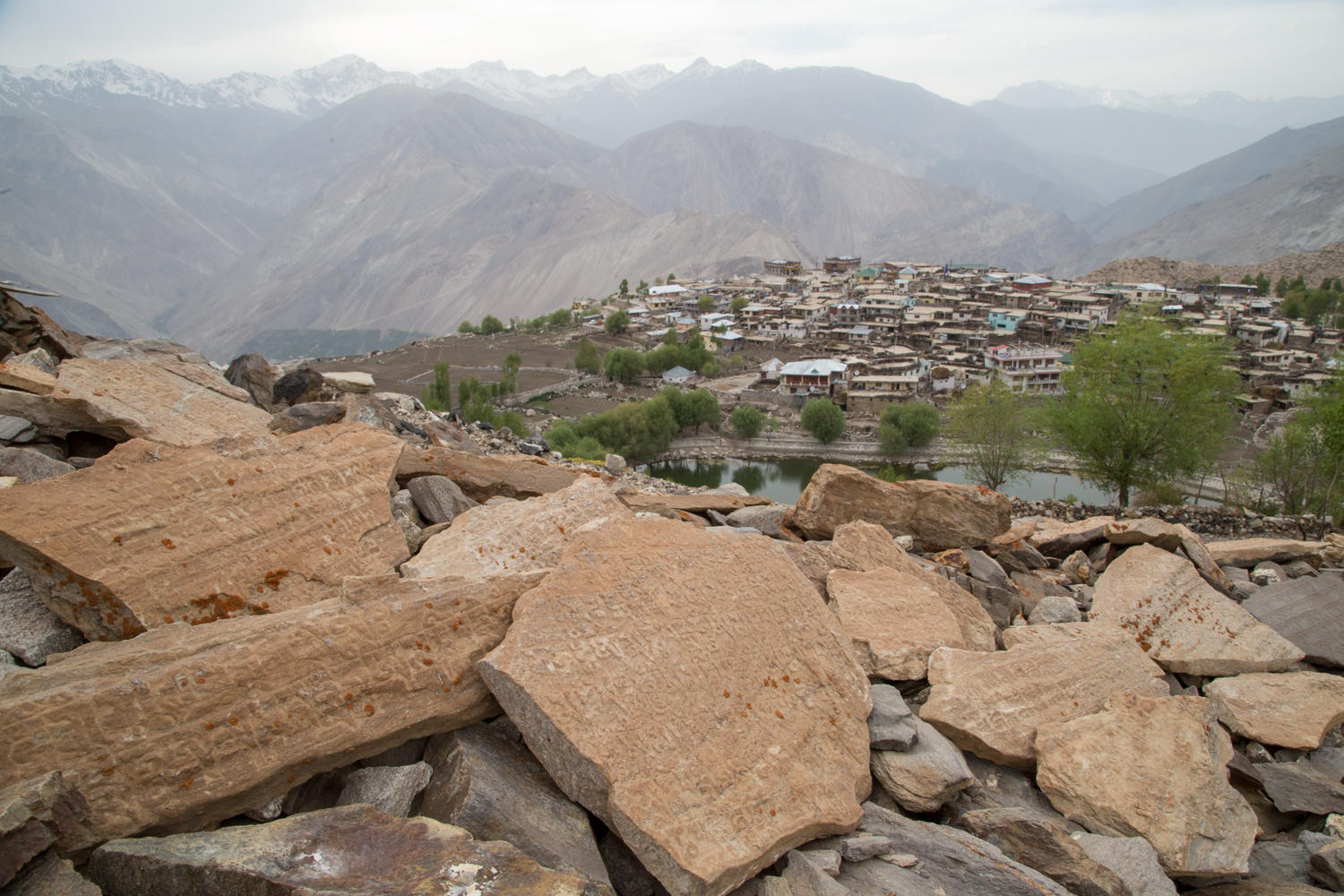
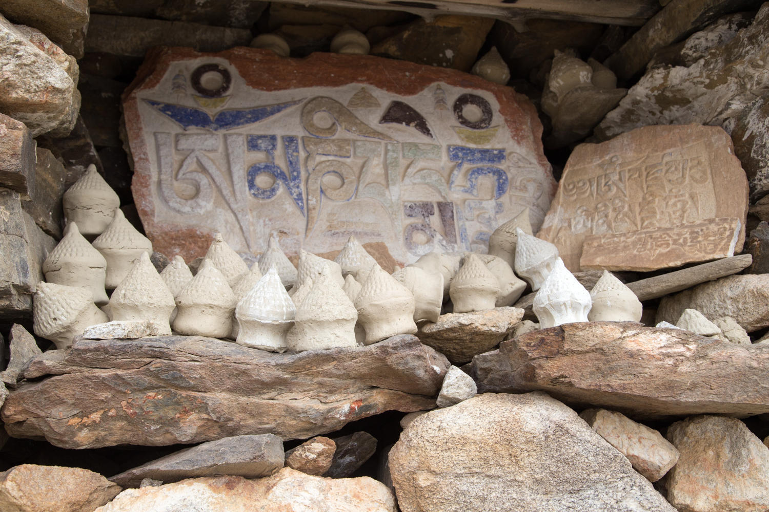
There are more switchbacks up to Nako. We are looking for the Lakeview Hotel, but instead we in the center we check out the Reo Purgil Hotel. It’s a decent room for Rp800, a nice hot shower, no internet though. Patrick walks up to a large wind driven prayer wheel, stupas and mani stone wall above the town with a nice view over the town, valley and lake. We are at 3640 meters, the highest point so far. Anytime you get above about 3000 meters you have to be watchful for altitude sickness symptoms. Except for some shortness of breath we are doing okay.
We follow the Sutlej River upstream to its confluence with the Spiti River. The Sutlej starts on the flanks of Mt. Kailash in Tibet and ends its journey as the Indus River flowing into the Arabian sea near Karachi Pakistan.
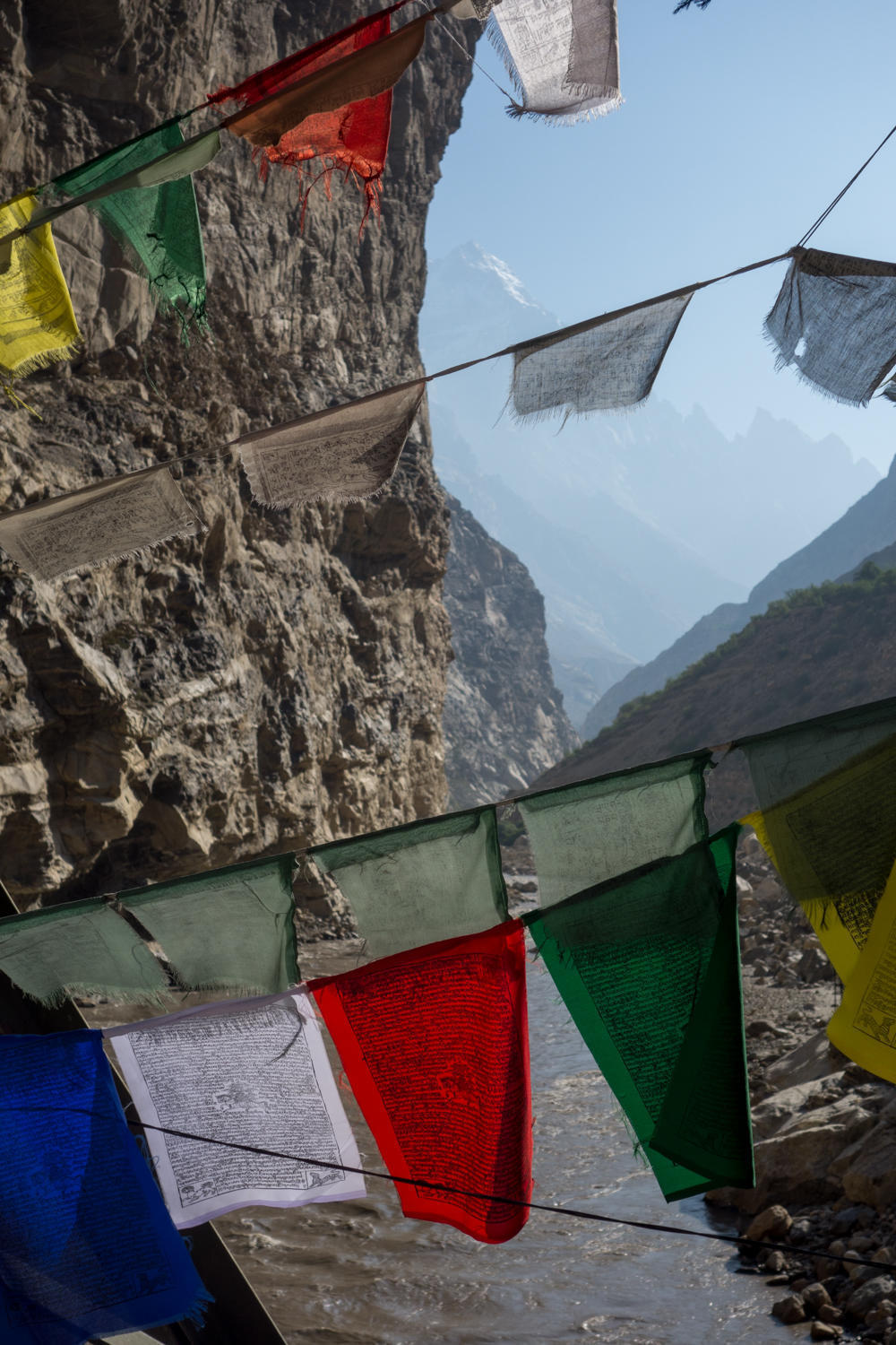
At the Spiti River confluence. We are only 10 kilometers away from Tibet, the mountain on the horizon is Reo Purgyal. Rachel did not read the little blurb in our guidebook saying not to take photos here.
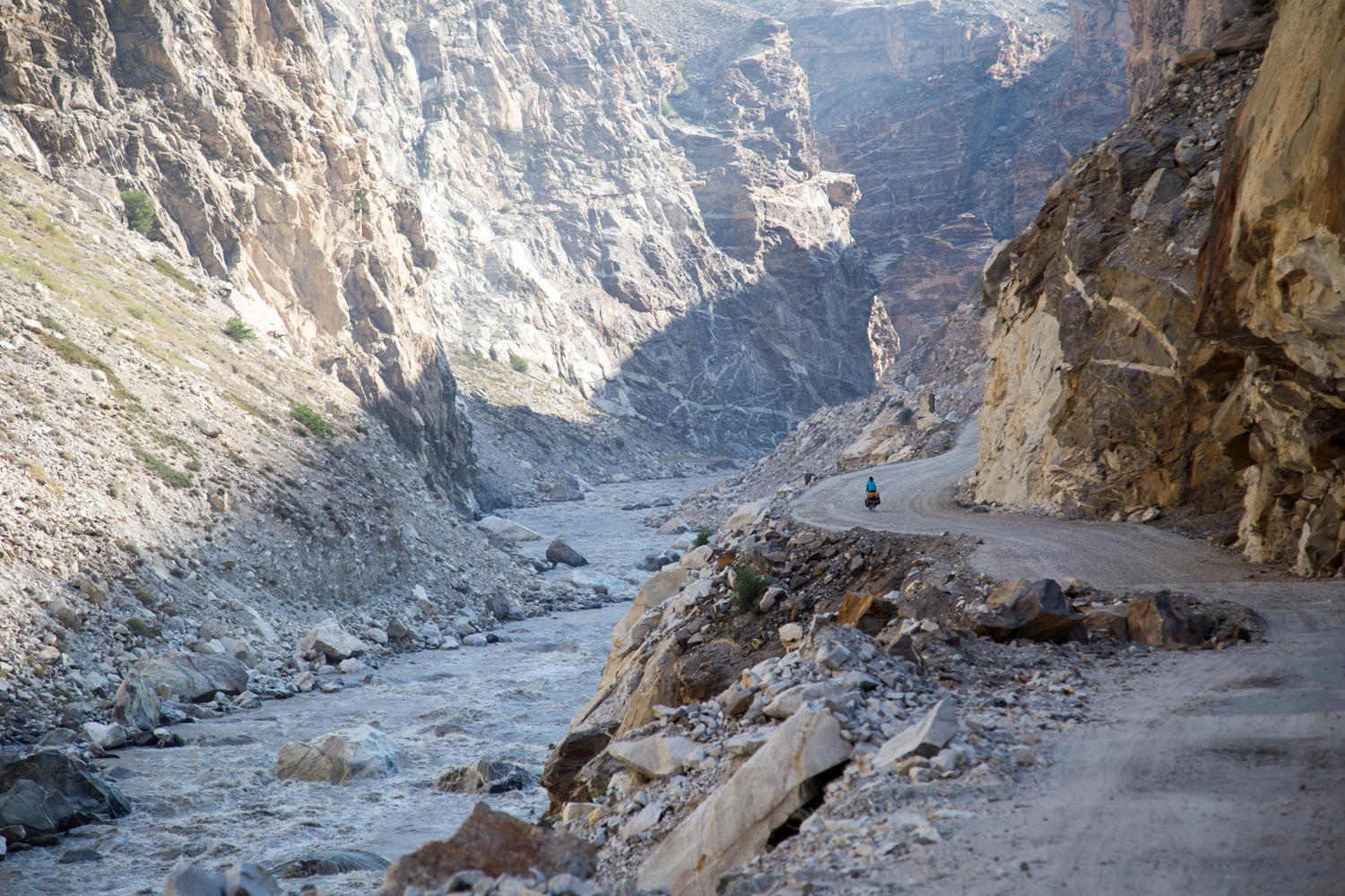
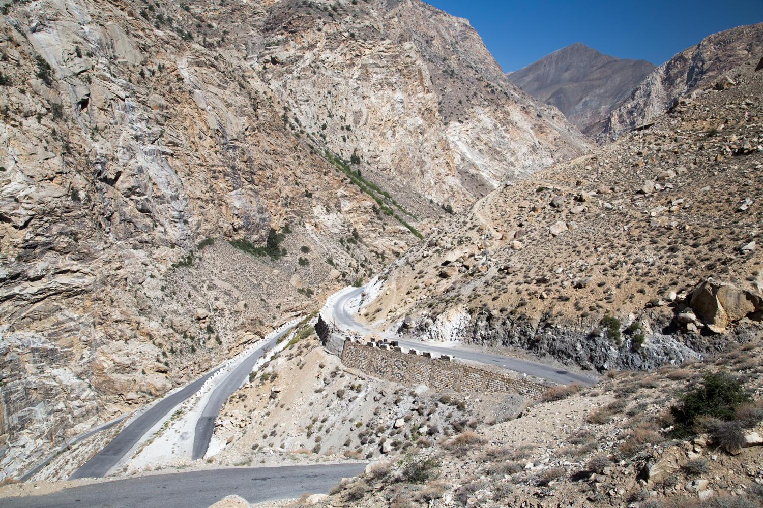
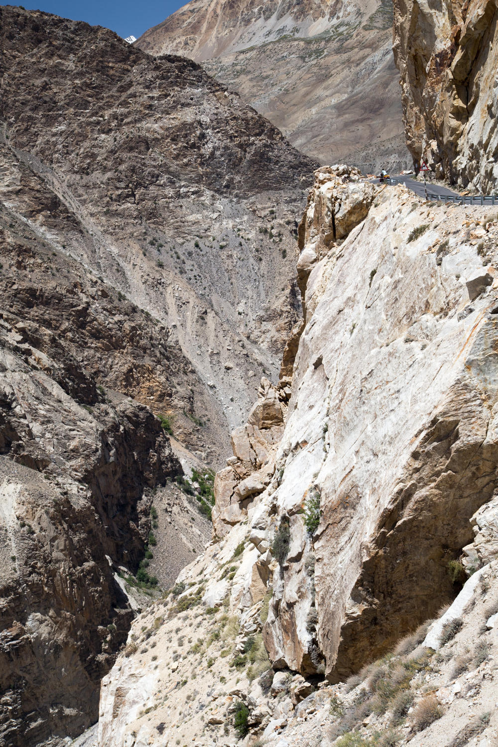
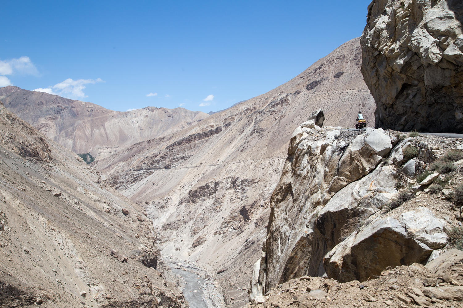
The Spiti River has carved itself a narrow gorge through sheer rock cliffs to reach the Sutlej River. The road is narrow and cut into the mountainside. The water roars and it is cool here.
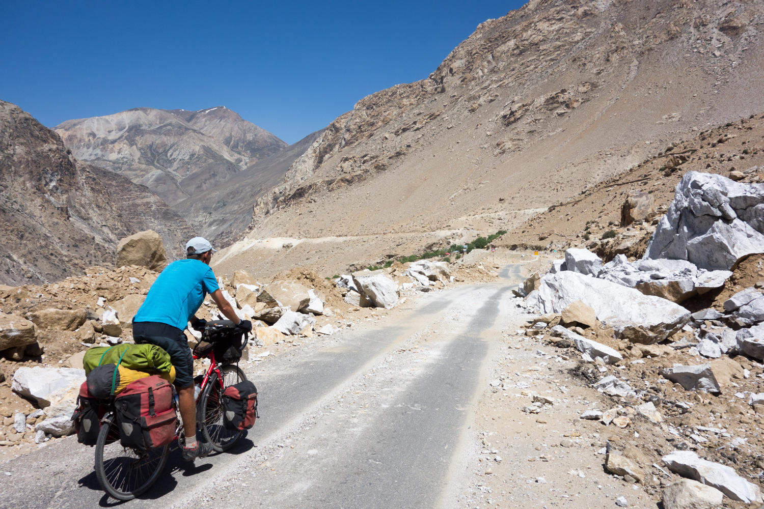
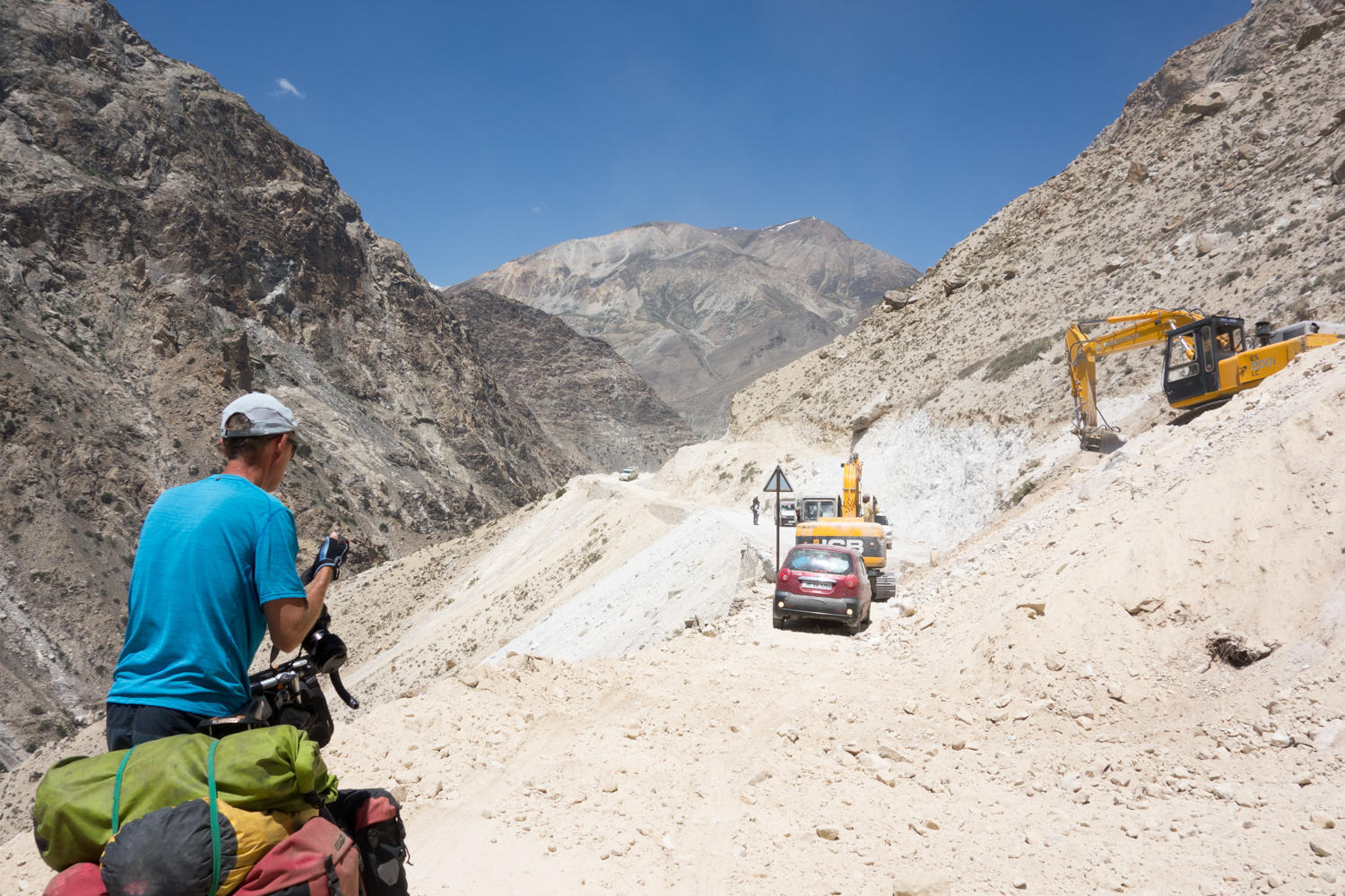
Clearing a landslide. This road needs continuous repairs, especially in the monsoon season, which is about to start in a couple of weeks, rains cause frequent landslides and road closures.
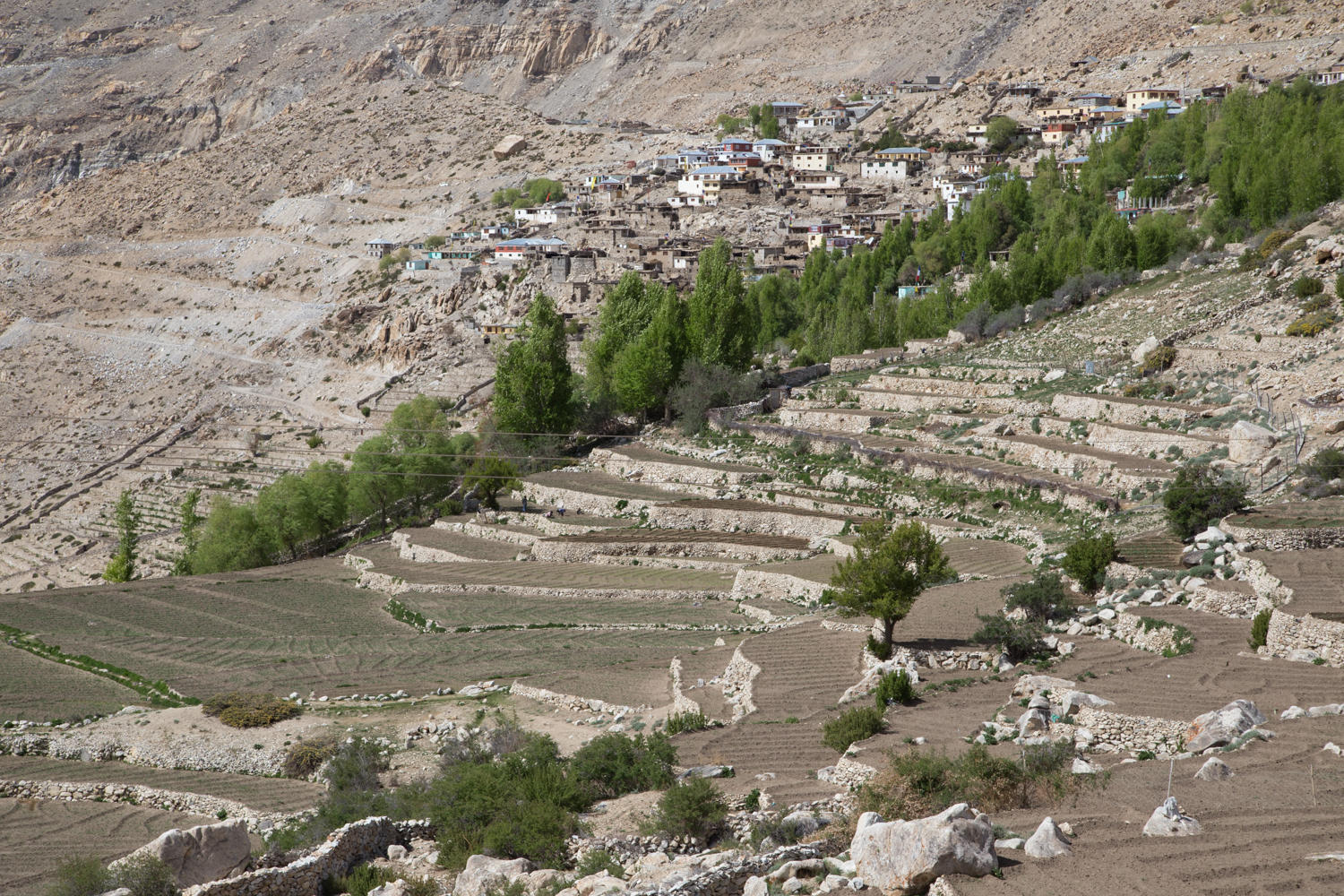
Village deep in the canyon. We think this could be Malling. The main road to Spiti use to go through this town, but it had to cross a notorious unstable mountain side called the Malling Slide. The road was finally abandoned and a new higher road now takes travellers past Nako.
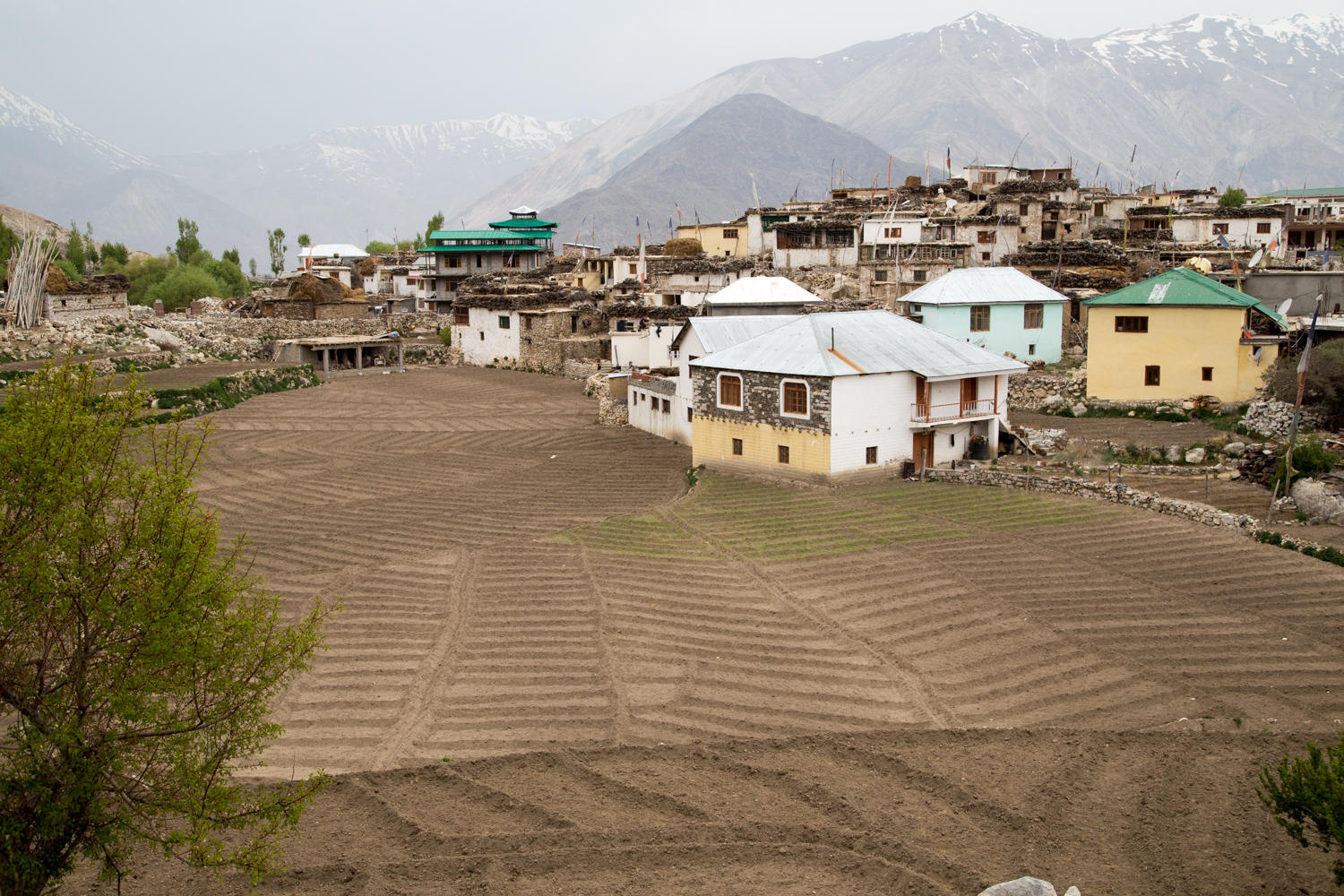
View from our hotel in Nako. All available flat land is farmed. We wonder whether this guy needed a conditional use permit to plant his house in the middle of the fields.