June 6, 2012
Day 18: Romsey to Gosport, UK: Stay on Target?
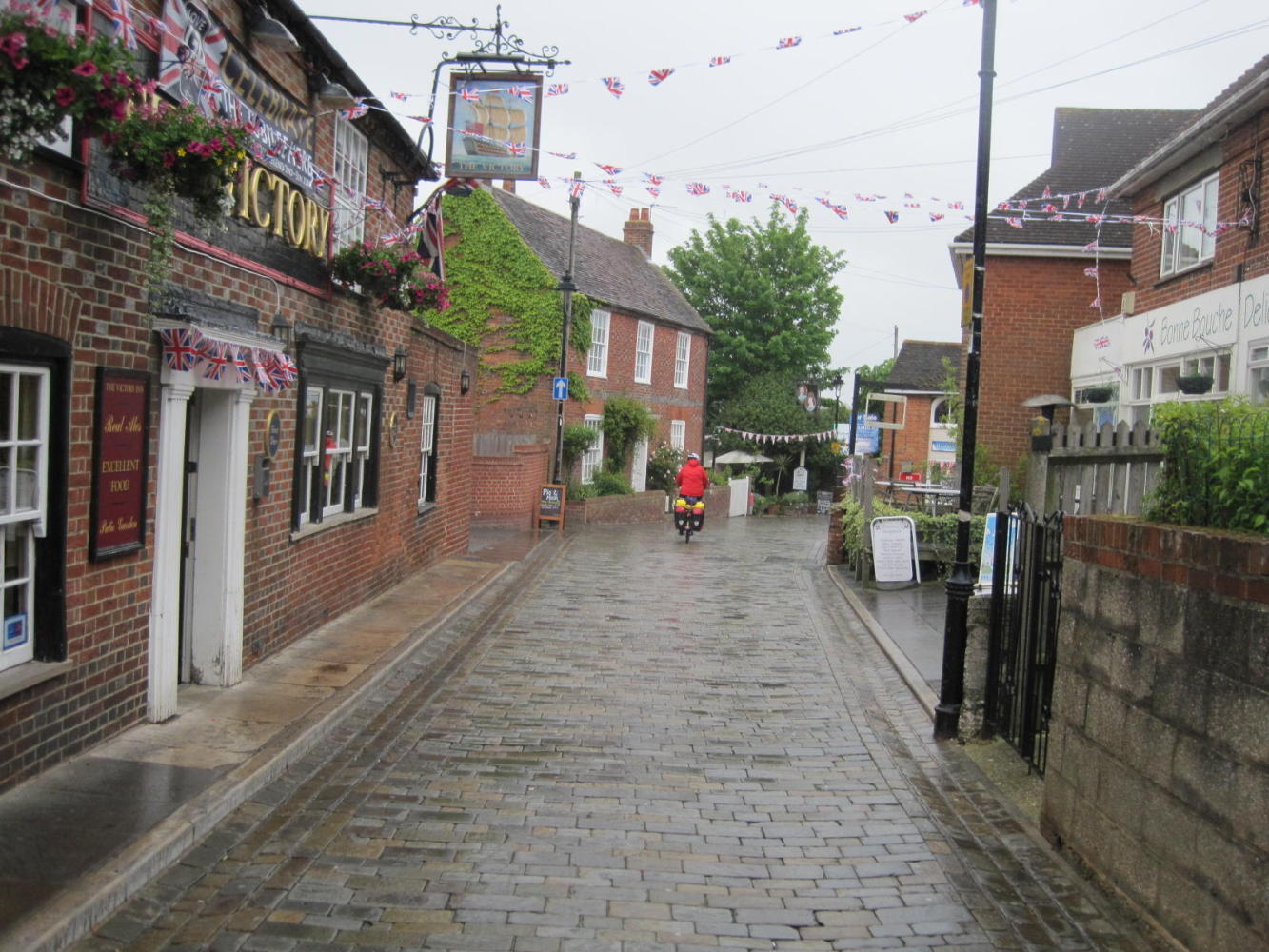
This was our day to head down to the coast, by Southampton and Portsmouth, so as to soon begin bouncing along by Brighton and Hastings before leaving England at Dover. The coast poses a bit of a double whammy - it is rather urbanized and the National Cycle Network does not admit to having a complete routing, let alone any coherent maps.
With this in mind, I submitted a proposal to our executive committee to skip the bigger cities and convoluted coastline, and hop by train to Brighton. Unfortunately I learned that not unlike the "Room Mate Agreement" in Big Bang Theory, our marriage agreement provides that in the case of a tie vote, Dodie has the deciding ballot.
In this case, she argued that (a) we would be able to find our way and (b) to use the train would be "quitting"
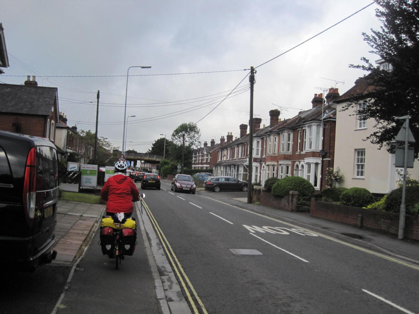
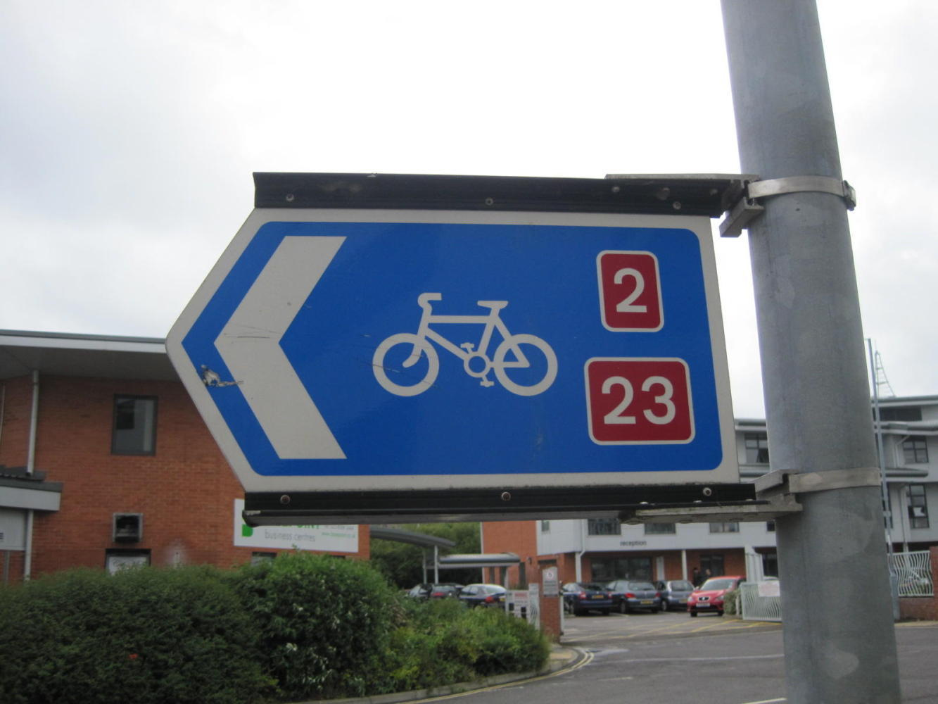
So off we went towards the coast. At first, the NCN signage sort of held up. That is, we would come to a fork in the road and it would have no indication about which way the route went. So Dodie would go on instinct, and more often than not turn up the next sign a couple of intersections later on. All would then be well until the darn markings screwed up again.
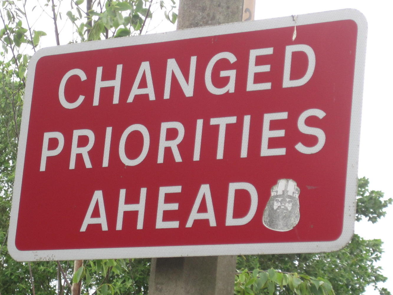
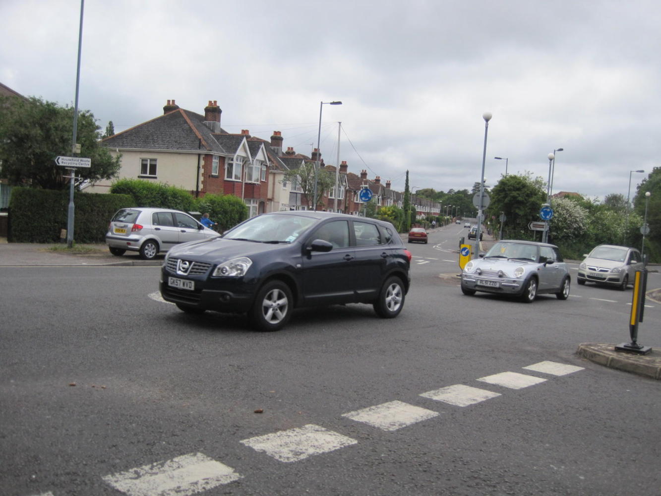
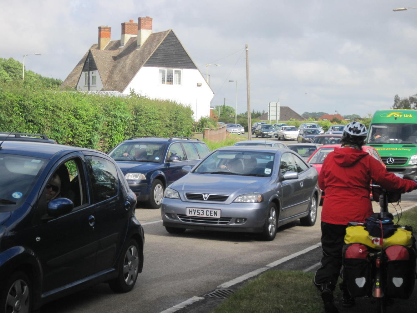
It was very tiring and nerve wracking trying to follow these indicators. The route in any event was on road and infested with traffic. One final beef: the surroundings were very mundane.
Still, considering all the needed orienteering and the time spent hugging the walkways rather than braving the roadway, we did make some progress.
Although the weather forecast had been for mostly rain, in fact it was just off and on. More cautious because of yesterday's soaking, this had us putting our extreme rain gear on a off. Of course, just when you put it on the sun comes out, and when you take it off, it pours.
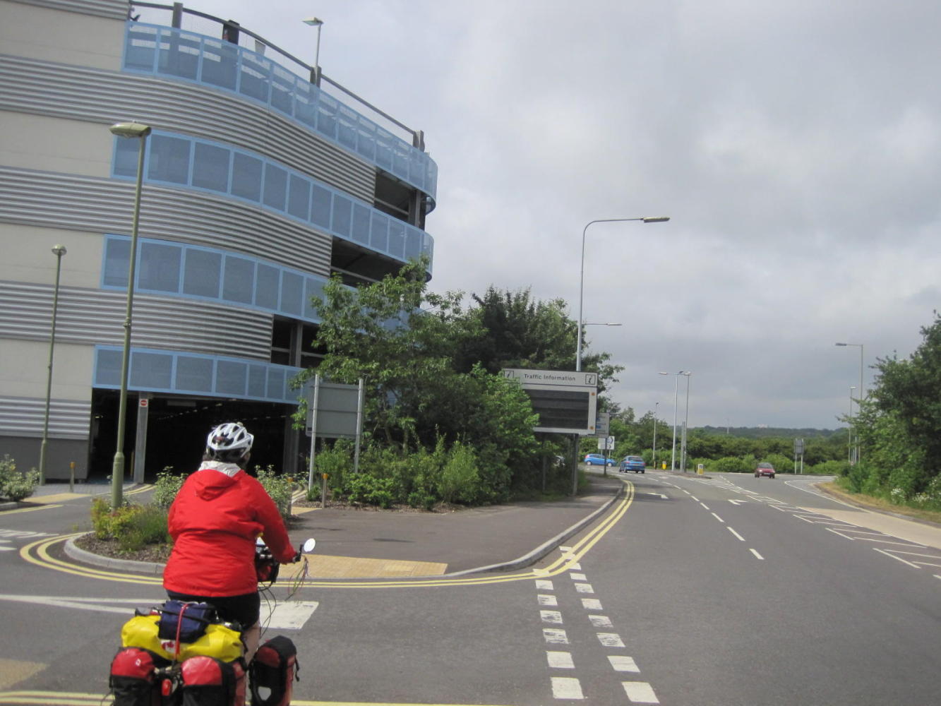
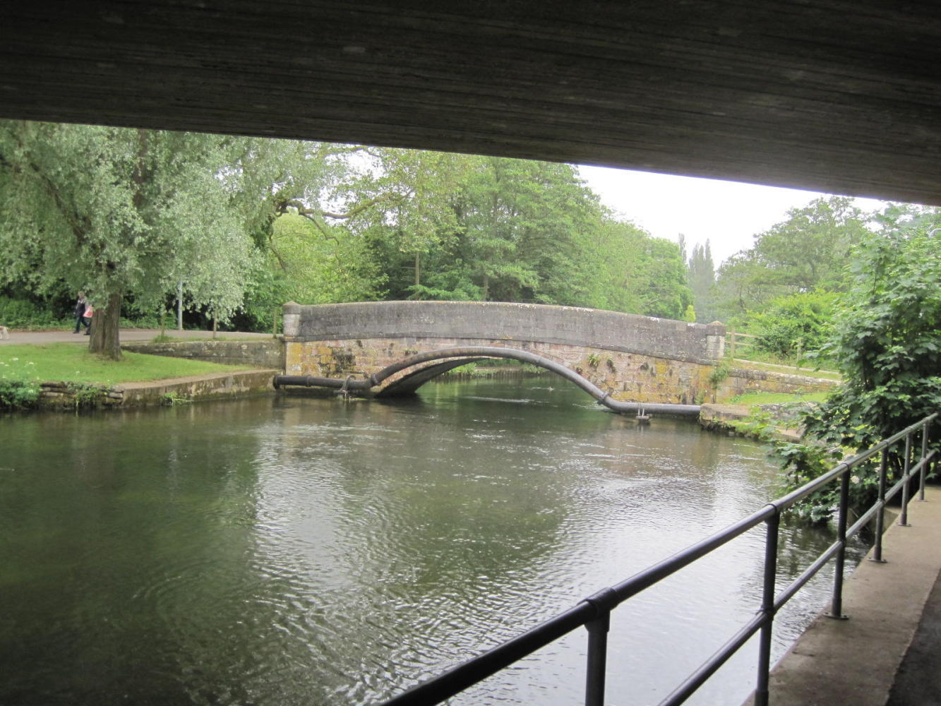
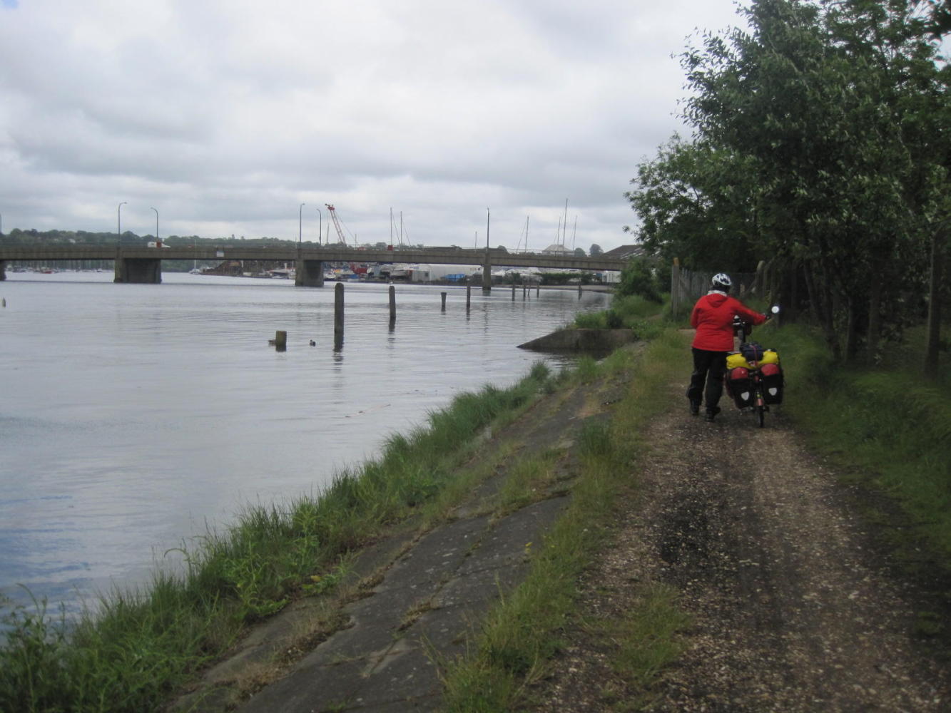
We made our way to the Itchen River, which is quite short, but which has a wide mouth by Southampton. The upper river has some parkland around it and offers a welcome beauty spot. However, the NCN signage again failed and we found ourselves up this stream without a way to get down it.
| Heart | 0 | Comment | 0 | Link |
I fired up the GPS (called a SatNav here) and it faithfully showed where we were and where our next cuesheet location was. Only thing, Dodie refused to look at it. She claims she can not understand what she sees on the little screen. So we crossed the river to the "wrong" side according to the SatNav, made our way down to the bridge across the wide part of the river (The Itchen Bridge) and then spent two hours (no kidding) trying to figure out how to get on to and over the bridge. In this, NCN was no help at all, offering several signs all of which lead exactly nowhere.
| Heart | 0 | Comment | 0 | Link |

| Heart | 0 | Comment | 0 | Link |
| Heart | 0 | Comment | 0 | Link |
On the other side of the bridge, NCN apparently gave up all pretense of route marking. It was kind of a blessing, since we no longer had to search for the pesky things. However, we were often on A roads, which is trouble.
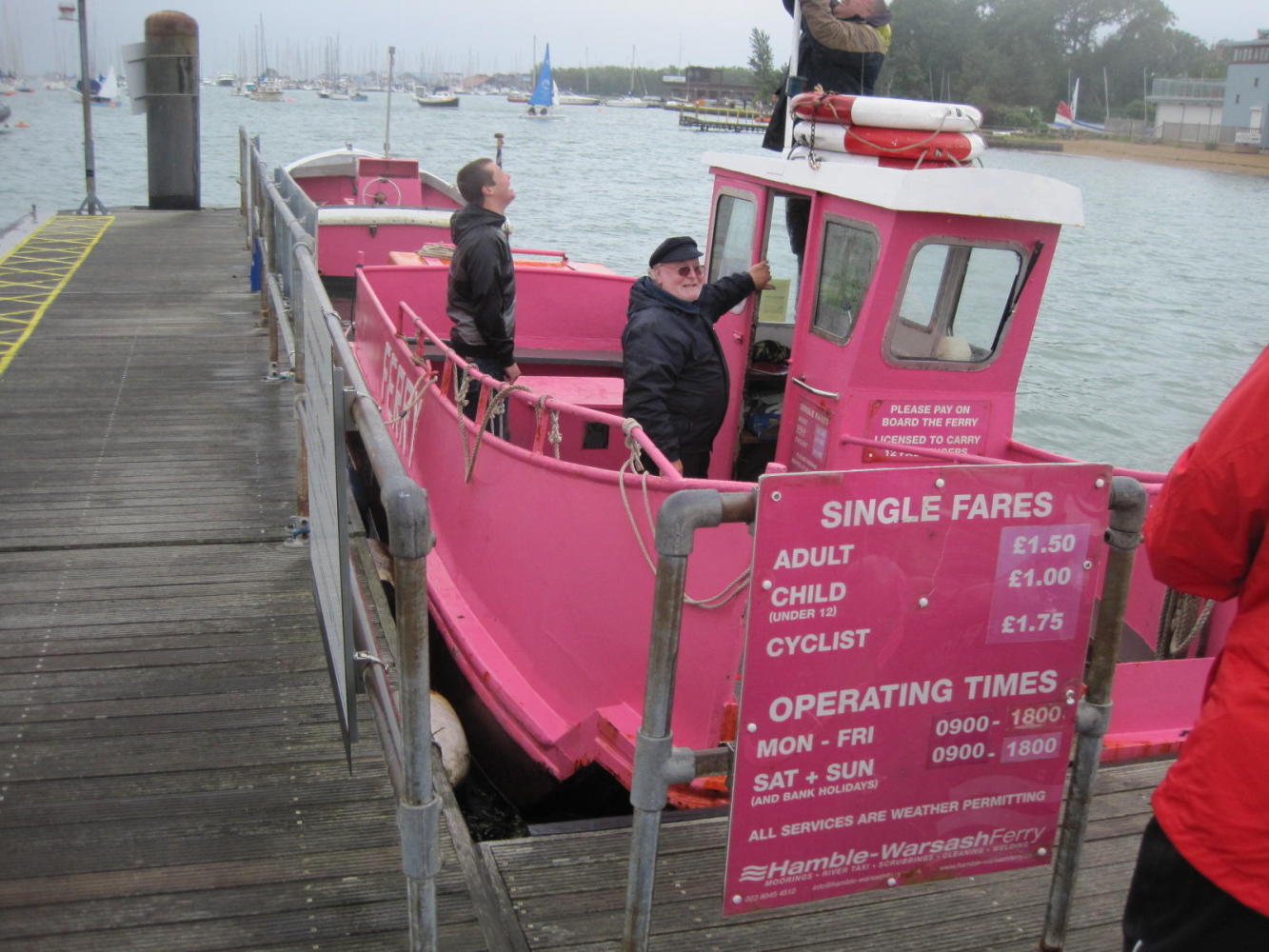
When we finally reached the B road leading to Hamble le Rice, we rejoiced a bit and too soon. Here, a B road is about as dangerous as an A road. as descried We did however reach the little ferry which plys a short course from Hamble to Warsash. It was touch and go about fitting the bikes in, but it worked out. This was fun!
Since the ferry was part of the NCN route 2 as described in the Sustrans online mapping, we expected to see a NCN sign at the small ferry landing. Nope! Just a "No Cycling" sign and a letter advising people to ignore the sign.
Dodie ran on instinct again, and eventually we reached almost to Gosport despite heavy traffic.
| Heart | 0 | Comment | 0 | Link |
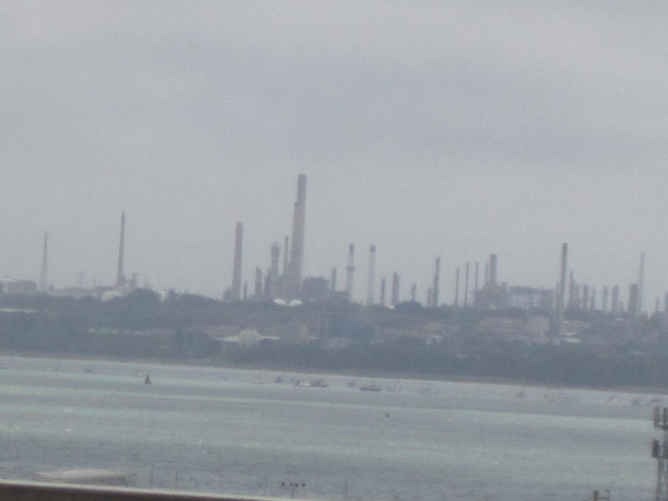
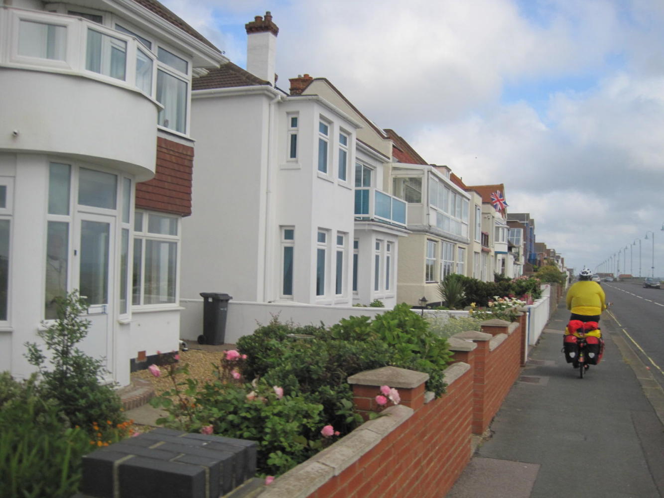
Just prior to this is Lee on the Solent, the Solent being the bit of water between Southampton and the Isle of Wight. At Lee, houses line the waterfront, as they must do with waterfronts everywhere.
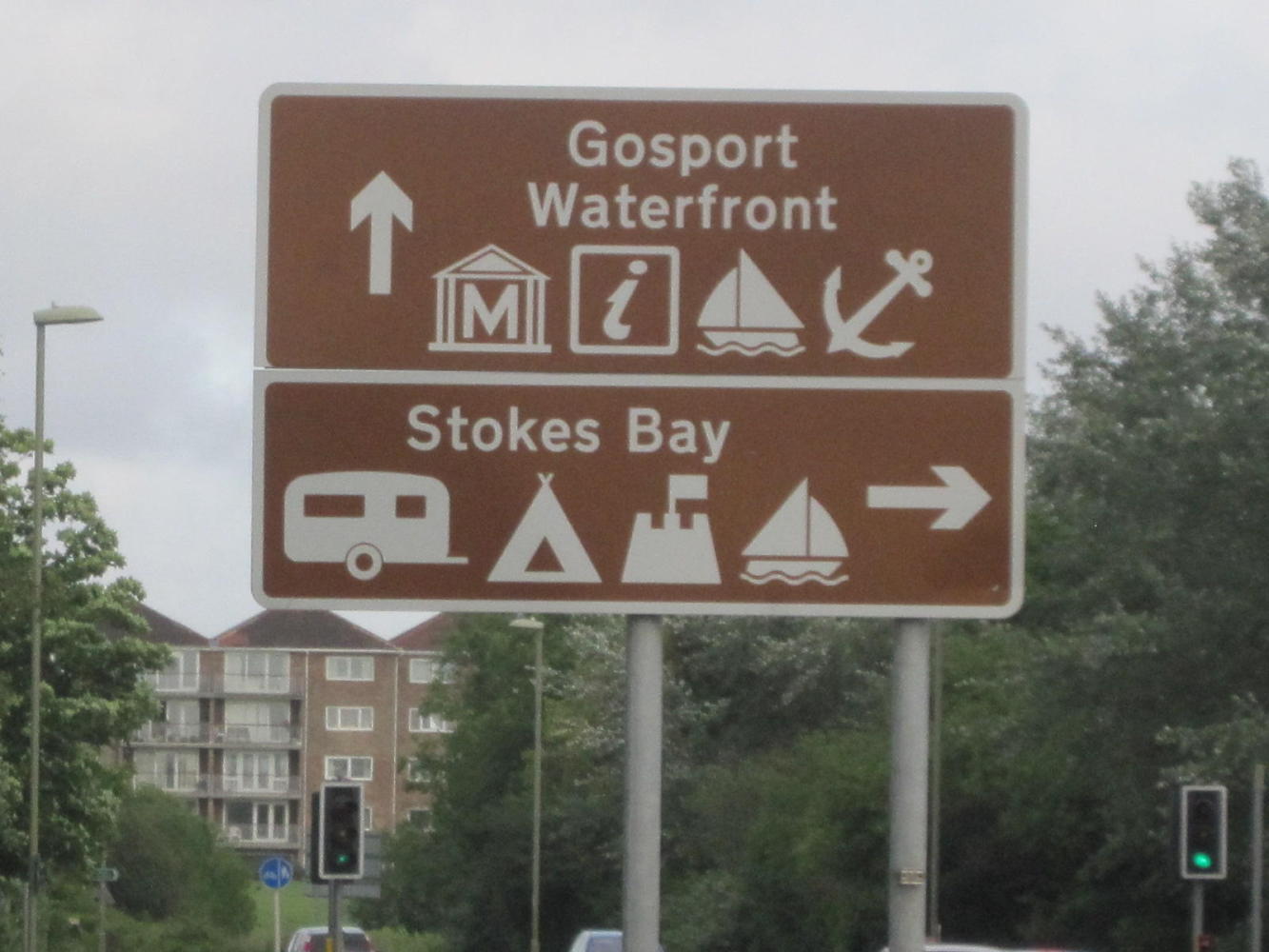
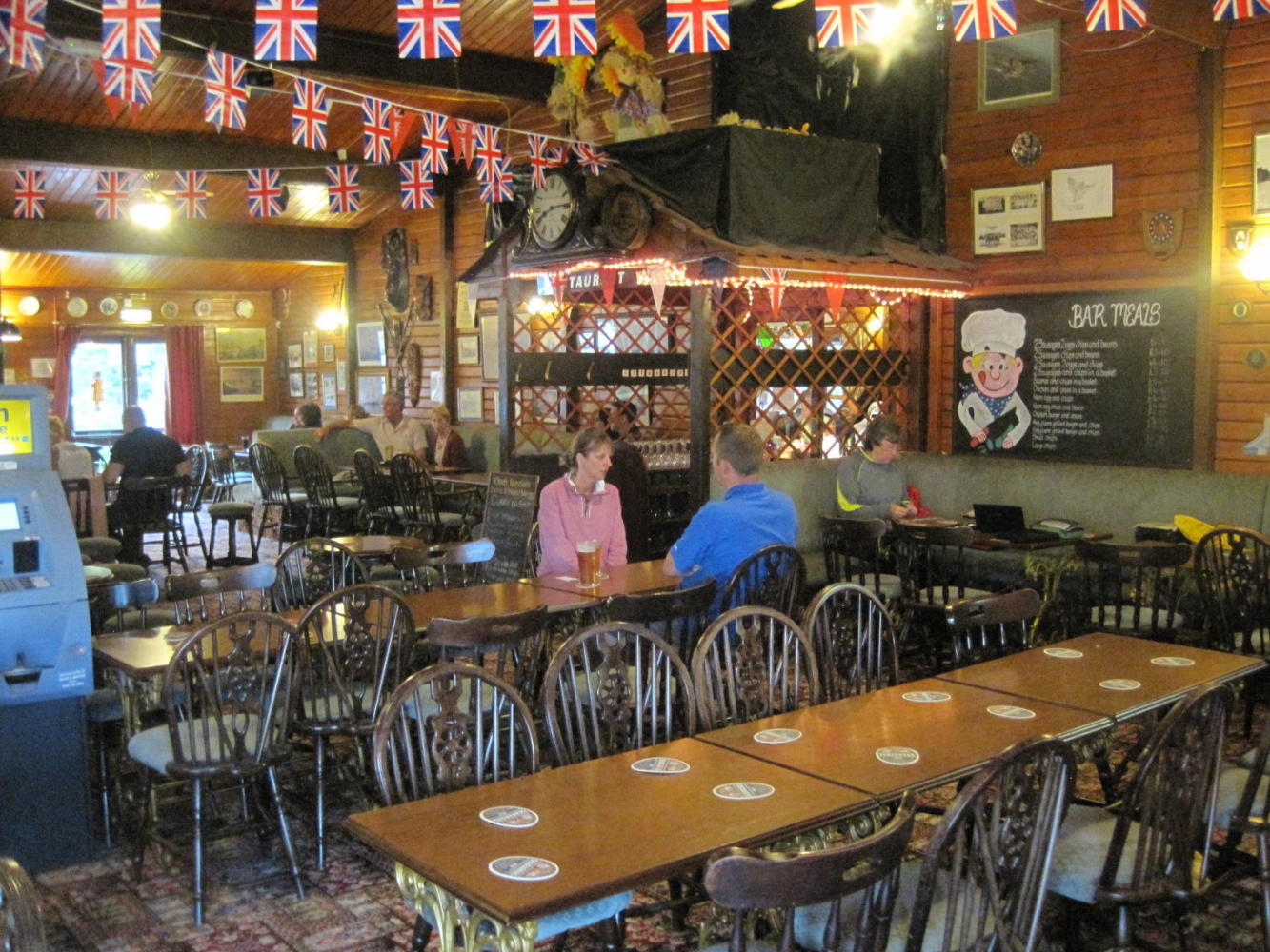
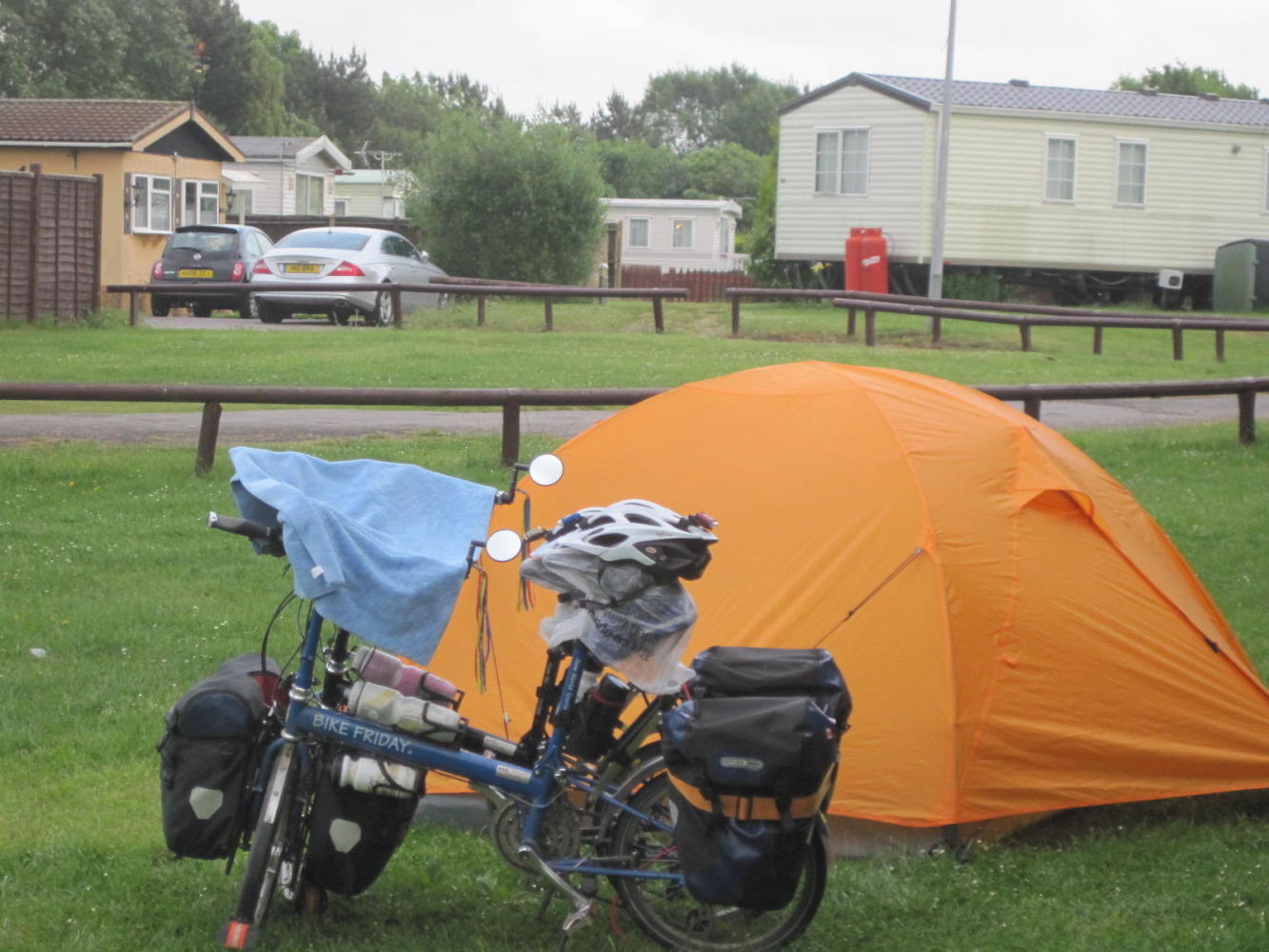
The roadmap we did have showed a campsite at Gosport, and it was true.
15 pounds bought us a piece of grass behind the restaurant. It also bought a shower! And the restaurant was offering curry and rice for two pounds and a half!
| Heart | 0 | Comment | 0 | Link |
We felt so rich because of this reasonable price that we got two puddings at a pound and a half each. So for twenty three pounds we are clean, sheltered, and fed. Just what we need if we are going to find Portsmouth and points East tomorrow!
Today's ride: 58 km (36 miles)
Total: 462 km (287 miles)
| Rate this entry's writing | Heart | 1 |
| Comment on this entry | Comment | 0 |