August 7, 2025
Day 16 — Saltery Bay to Roberts Creek
Marilee here.
Well, we survived the night. We'd moved our tent to slightly higher ground, directly under some large, moss-draped trees. Which dripped water on us all night long. It was quite amazing, really. Twelve hours after the rainstorm ended the trees were still dripping. And because Tom had (wisely) pegged in our tent fly so tightly, to keep it away from the inner tent walls, each drop falling from some immensely high branch hit the taut fabric of the fly with a resounding tap like hitting a drumskin.
Listening to the irregular drumbeat of the drops kept me awake, but I was warm and only mildly damp, so altogether it wasn't a bad night. And in the morning we woke up to sunshine, as though the previous day's tempest was only a bad dream.
We took our morning coffee out onto the rocks of Mermaid Cove and savoured the early day peace.
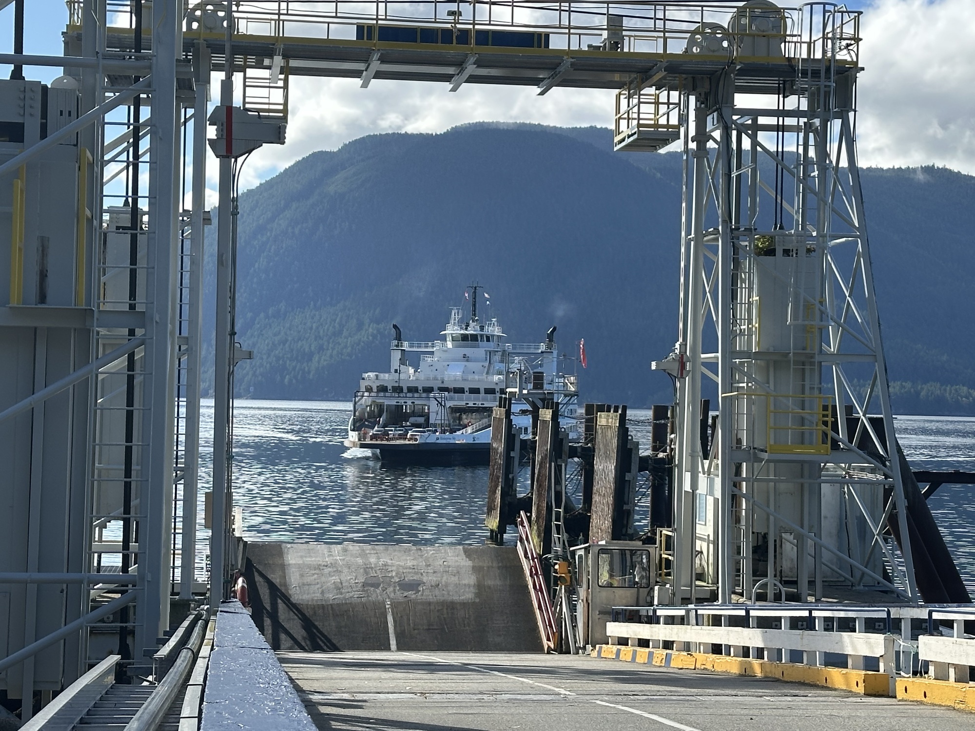
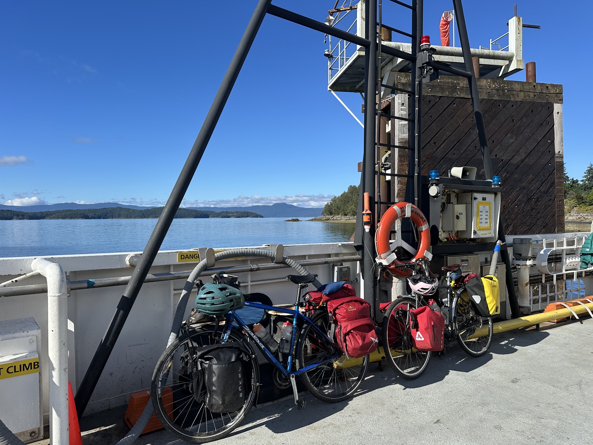
Then, all too soon, it was time to pack up and pedal the remaining kilometre to the ferry terminal for the ride from Saltery Bay to Earl's Cove, our second-to-last ferry of the trip.
| Heart | 0 | Comment | 0 | Link |
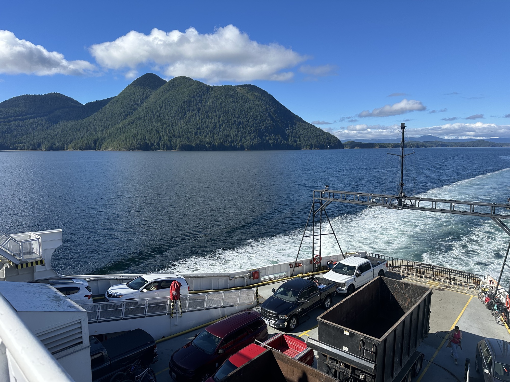
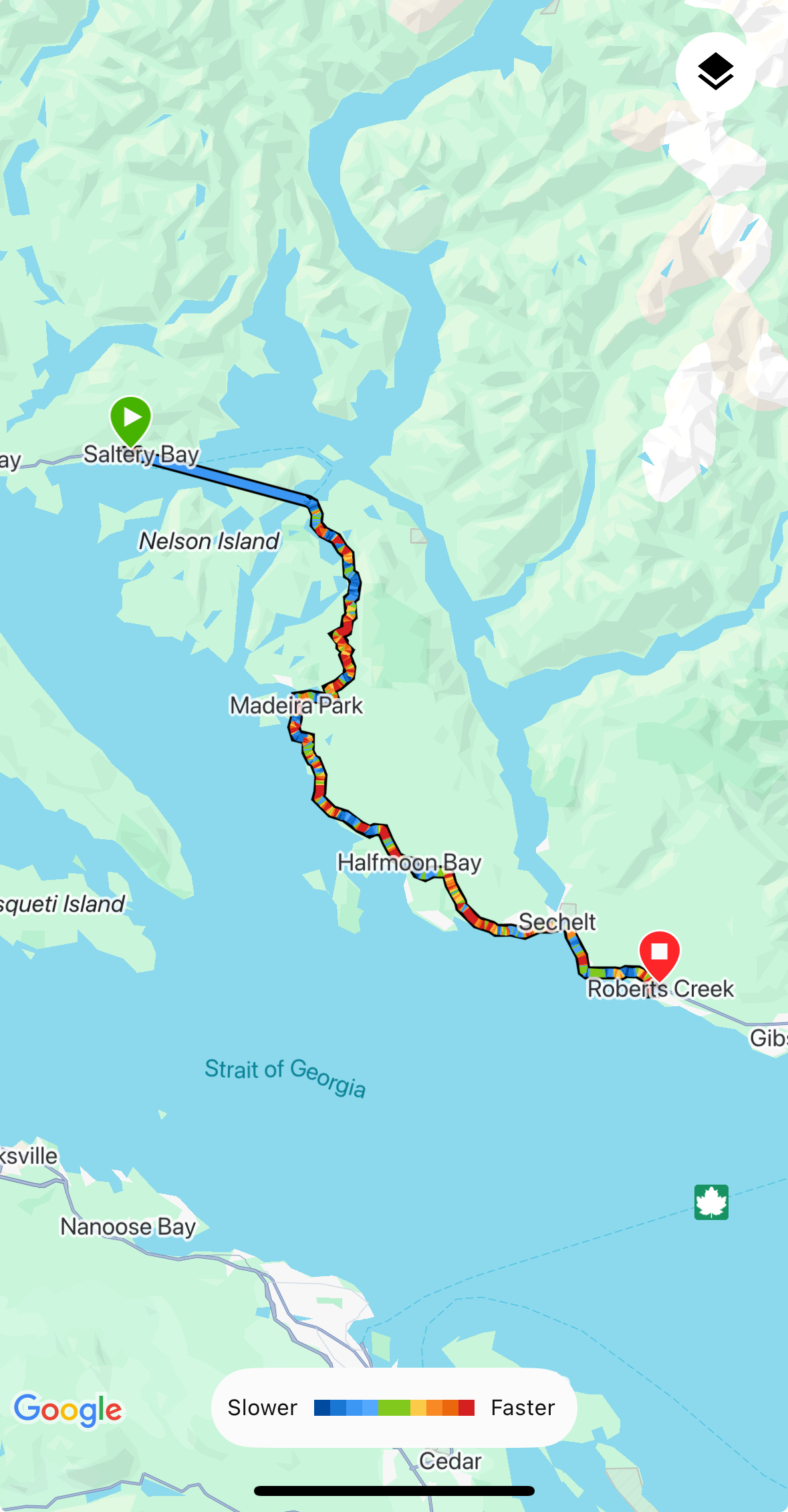
After disembarking in Earl's Cove, we waited for the cars to clear off before starting our ride. We had a longer than usual day ahead, with some significant climbs.
BC's sunshine coast is split into sections by ferries, transporting people from one otherwise inaccessible destination to another. Along the coast are a string of little resort towns separated from one another by mountains that rear up almost directly from the water. It's beautiful, but it's a tough geography, and it pushes all the traffic onto a single road -- the result is a highway that is hilly, curvy, narrow and BUSY. So you know, perfect for bikes.
But we were lucky to have made an early start and for the first couple of hours we had the road almost to ourselves. There were a couple of long climbs, and then several kms of rolling hills with peekaboo views through the trees down to bright blue coves and island-dotted waters. It was great cycling, really exhilarating. Then, inevitably, we came to the first town along the route, Madeira Park, about 20km from the Earl's Cove ferry terminal, and the traffic started building.
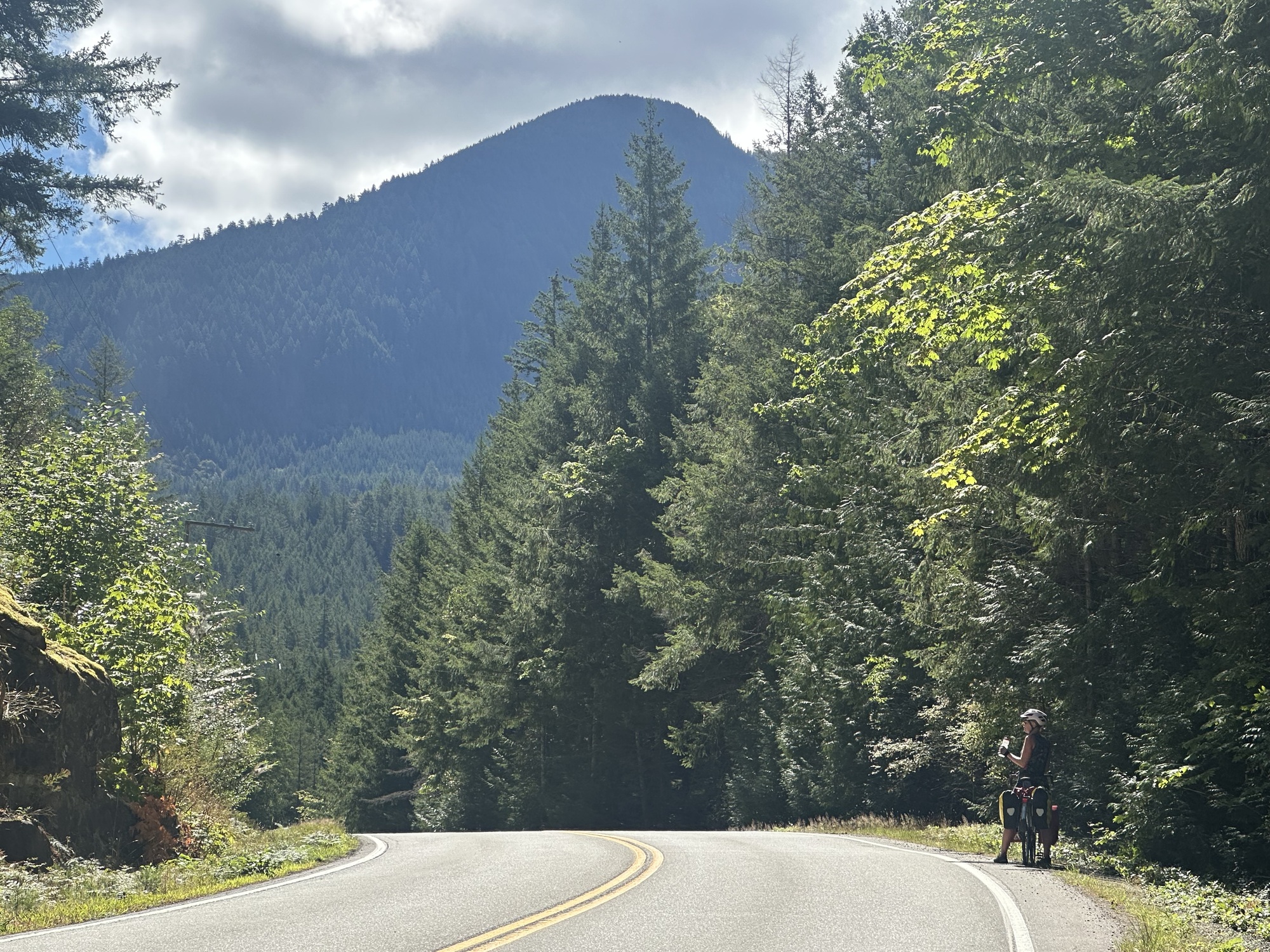
And it kept on building all through the day, RVs and pickups and SUVs and dump trucks and delivery trucks and motorcycles, all roaring past as fast as they could to make it to the next ferry terminal on time. And although the province has put up signs declaring the Sunshine Coast highway a bike route, they haven't actually done anything to make the highway safe for bikes. The shoulder comes and goes unexpectedly, often crumbling at the edges, narrowing to a whisper and a prayer on dicey curves. So by the time we made it to the big town of Sechelt at about 3pm, our nerves were frayed.
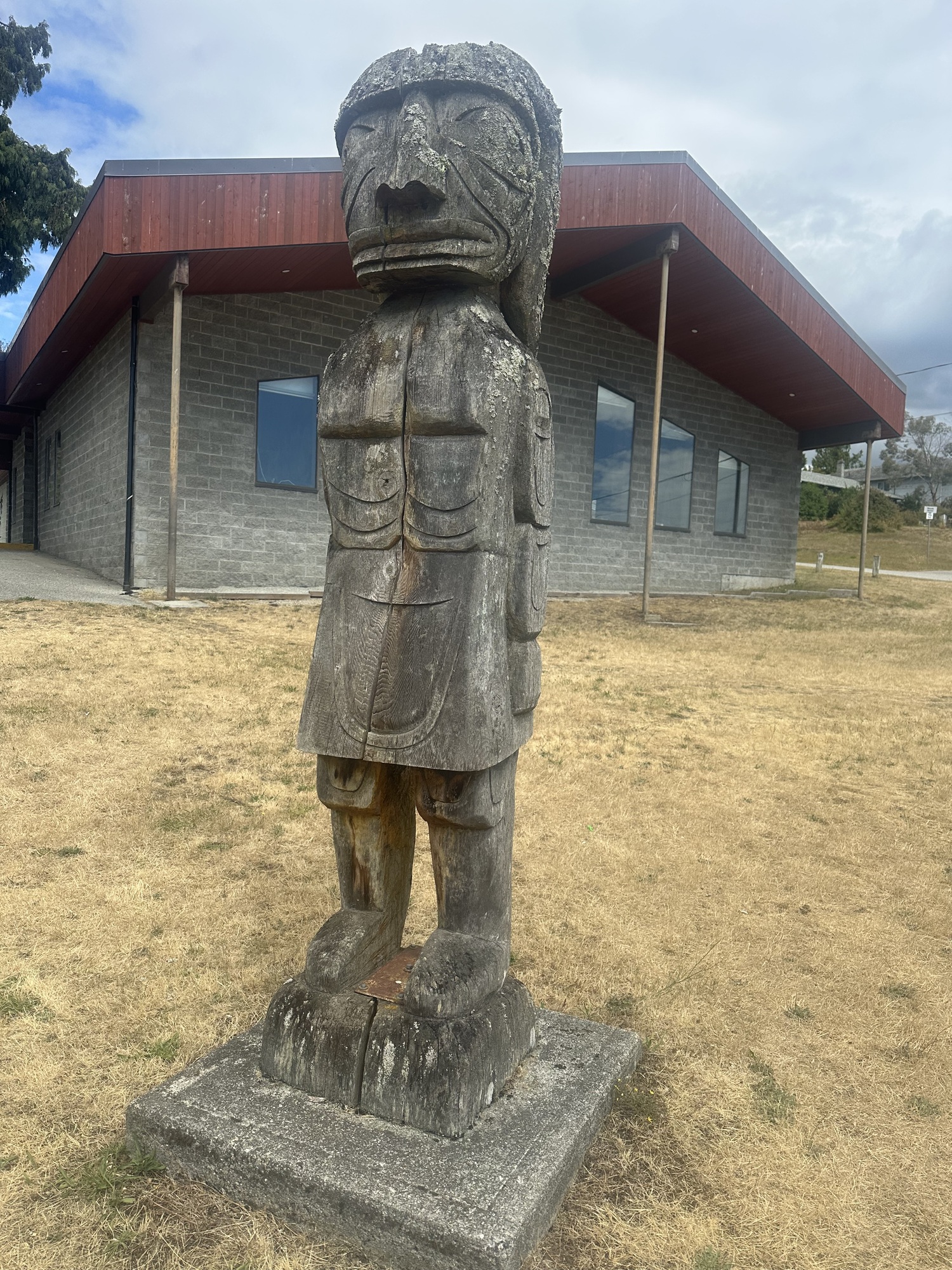
We found a short detour off the highway through the Shishalh Nation, which provided a few moments of calm. We also learned that the Shishalh was the first Indigenous nation in Canada to gain self-government, back in 1986.
| Heart | 0 | Comment | 0 | Link |
A little further on, we stopped at Davis Bay Beach to wolf down a hotdog and reflect that possibly we were feeling so overwhelmed by the traffic because we hadn't eaten enough all day. Luckily we had less that 10k remaining to get to our destination for the day: the Up the Creek Backpacker Lodge in Roberts Creek. And the hot dogs provided just enough fuel to get us back on the highway and up the last remaining hills between us and a hot shower and dinner. On one of those hills Tom announced that we'd climbed over 1000m that day.
| Heart | 3 | Comment | 2 | Link |
1 week ago
Roberts Creek is a little village off the highway, with some great beaches, a tiny town centre filled with new age-y businesses, and possibly my favourite summer restaurant, the Gumboot, which has tables set out on a big lawn enclosed by a high hedge so that you feel like you're at a fancy garden party. After a very restorative shower we headed there to celebrate our last night on the road.
| Heart | 0 | Comment | 2 | Link |
1 week ago
| Heart | 0 | Comment | 3 | Link |
1 week ago
1 week ago
1 week ago
Today's ride: 67 km (42 miles)
Total: 682 km (424 miles)
| Rate this entry's writing | Heart | 3 |
| Comment on this entry | Comment | 0 |