February 27, 2014
Day 54: Austin to Barton Creek wild camp
We set off from the motel along Montopolis Drive, the first bit of the new safer ACA traverse of Austin. ACA can not control the bicycle unfriendly design of most parts of American cities, only search for the best ways through it. In this case, Montopolis offered no room for bicycles, sending us scurrying to the sidewalk.
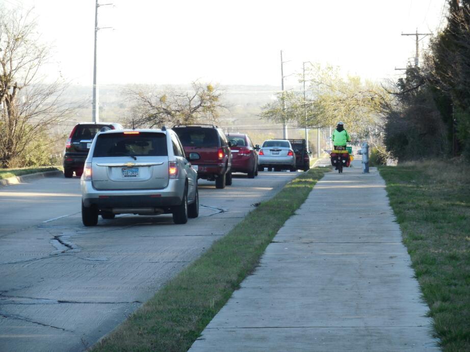
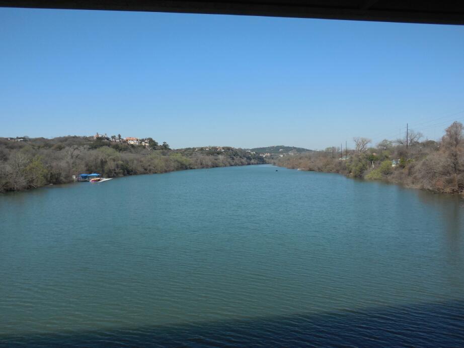
The next trick was to get on the cycle way that would take us over the river. This was rather cleverly hidden among all the roads, and the entrance was on the opposite side of the road for anyone going West. The ACA GPS track, as explained yesterday, is of only minimal help in this type of situation.

| Heart | 0 | Comment | 0 | Link |

| Heart | 0 | Comment | 0 | Link |
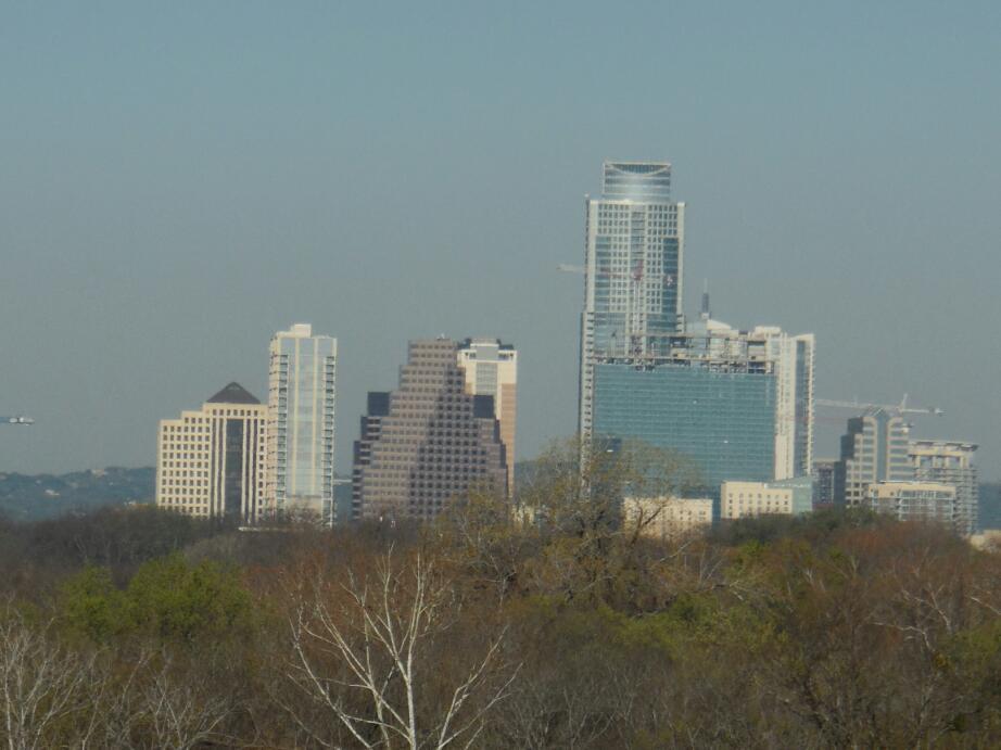
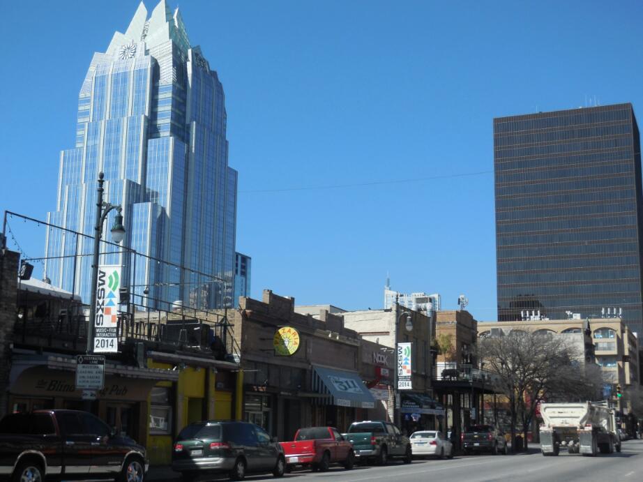
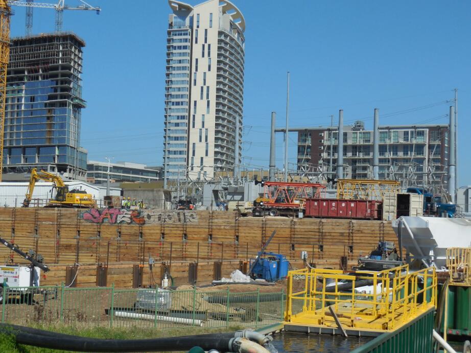
We did find the way, though, and also got our first look at the quite stunning Austin skyline. We travelled through some rather run down areas then, with that skyline leading us on straight ahead. Here we passed an restaurant, rundown looking, offering African food. As we passed, a black man in a black limo sort of vehicle addressed us. He was wearing just that type of fancy felt hat and clothes that fit my image of a drug dealer. But he turned out to be the owner of the restaurant. He said we should come try it this evening. Of course, we had to decline.What struck me most was just how sweet and personable this fellow was. Even if maybe he did also deal drugs, we liked him! As we parted he thanked us for stopping. I guess he realized it might have been a bit disconcerting to be flagged down from a passing black limo-like thing.
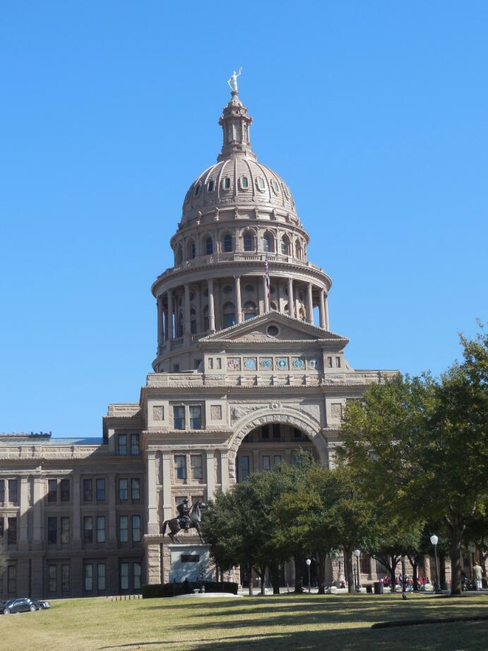
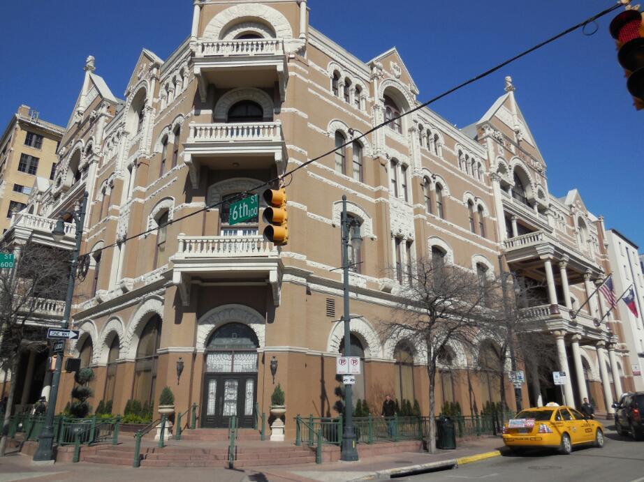
Though the route follows 4th St, 6th is the interesting one, and the capitol is up from that. So we made a loop around for a quick look at these attractions. The capitol building is suitably impressive, made out of a distinctive brown stone, that no doubt is famous. The grounds are nice as well, so unlike the Reichstag, for instance, in Berlin, which faces an empty field.
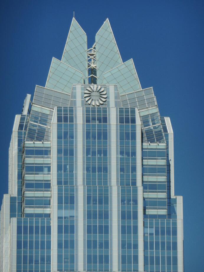
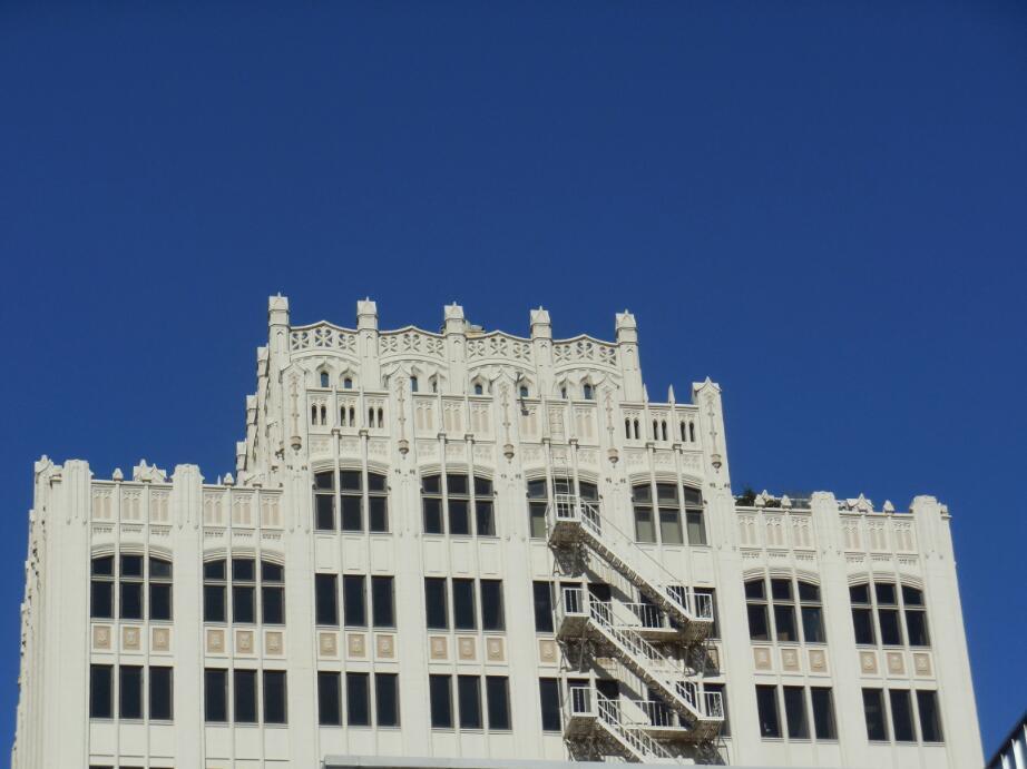
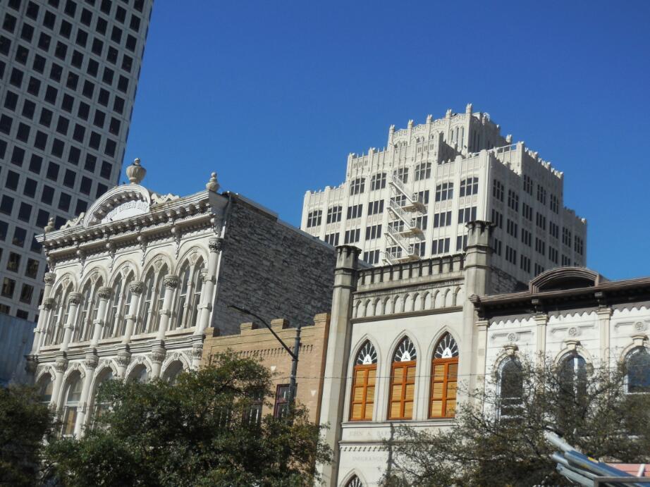
As impressive as the capitol building, are some of the towers of the downtown. The most notable is the Frost Bank tower, which is white and topped with interesting shapes. Unlike in cities like Vancouver and Montreal, the downtown buildings do not form canyons here, and there are no rivers of racing traffic flowing within canyons. Rather, the buildings seemed widely spaced and the traffic sparse. There was not a lot of retail activity, and no crowds of walkers. Not even vaguely like New York. Rather there seemed to be a fair smattering of people standing aimlessly around, and otherwise - no one was home, so to speak.

| Heart | 0 | Comment | 0 | Link |
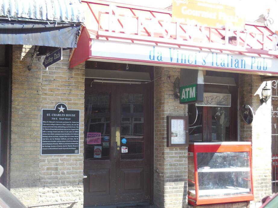
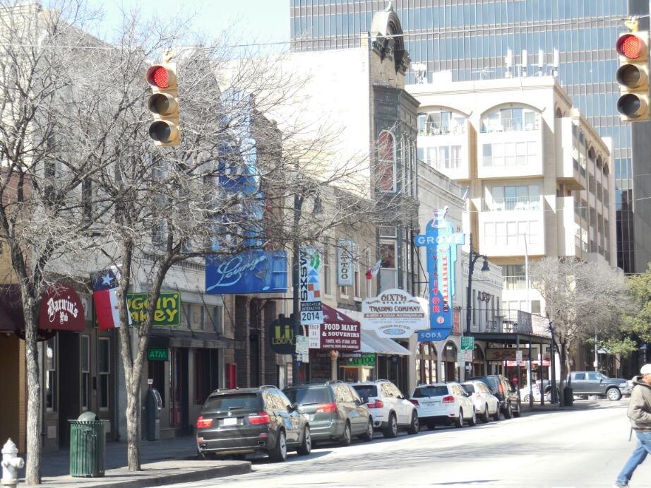
We rode down 6th and snapped a few photos from the bike. The street seemed mainly to house bars.Early morning on a Thursday did not reveal the glamour we had read about, and of course the street was not closed to traffic and filled with people. Actually it was filled mainly with beer trucks making deliveries.
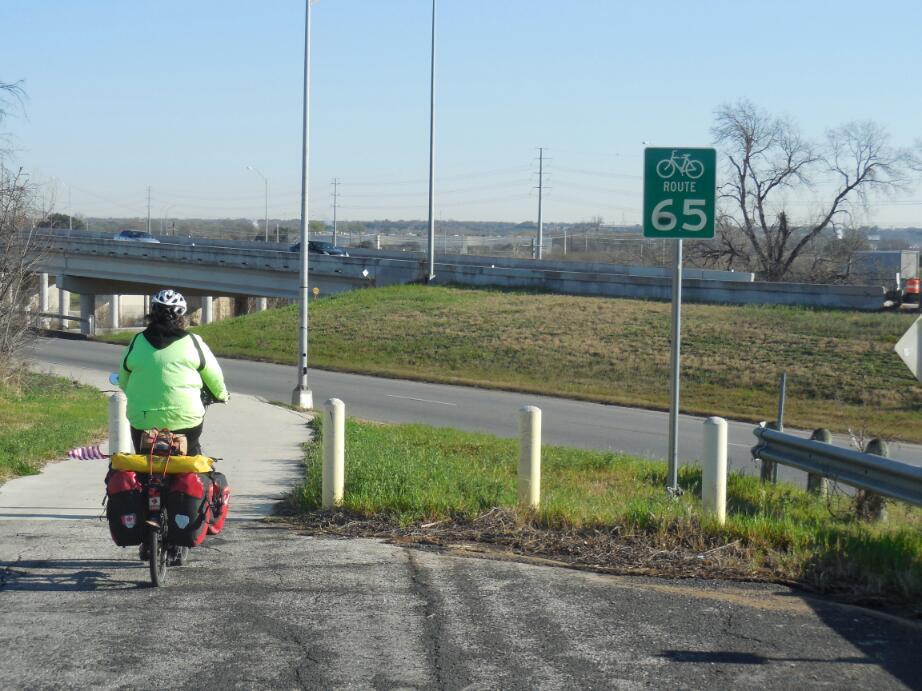
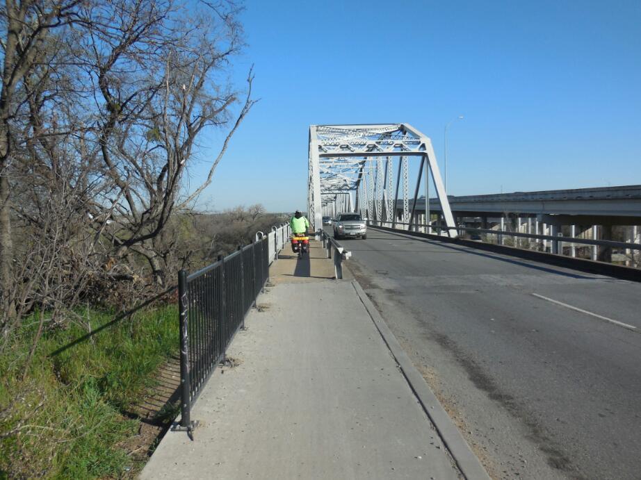
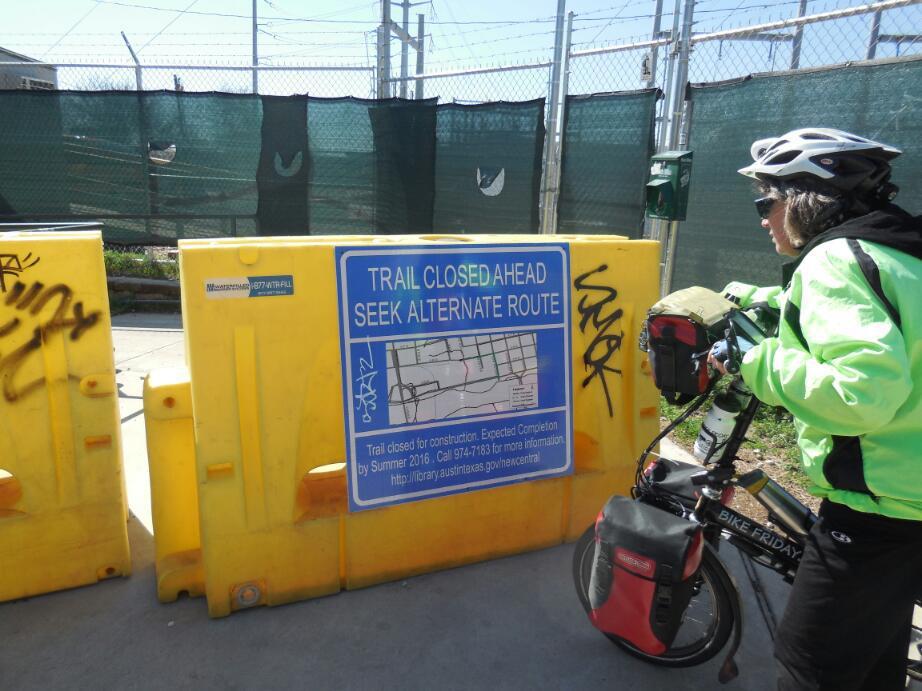
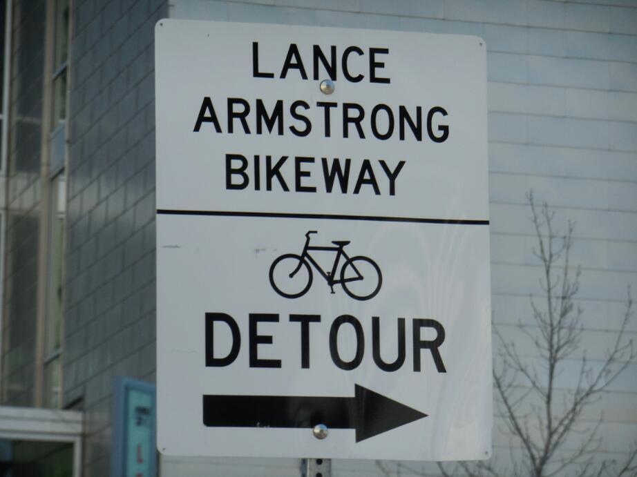
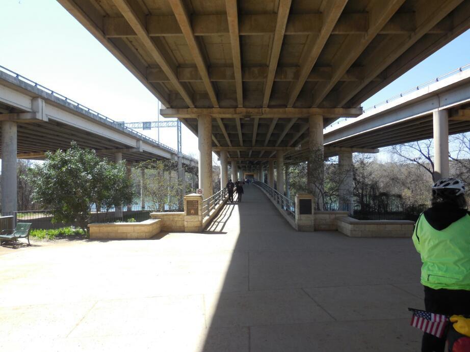
Back to 4th we proceeded along to get on the Lance Armstrong bikeway. It's strange that the name has not been changed. But Lance is a local boy, having been born in Houston. The bikeway was really not all that long or impressive, but still appreciated. Not appreciated was the fact that a critical chunk was closed by construction, until 2016. So the shiny new ACA route description is inaccurate and will be so for two years. The trail closed sign said "Seek Alternate Route". Gee, thanks! But actually, there was a map and some scouting around got us going again. We stalled soon after, though, as poor marking and fuzzy description in our map kept us temporarily from the pedestrian/cycle crossing of the river. we did find that too, which entitled us to puzzle over the next confusing turns, and the next.
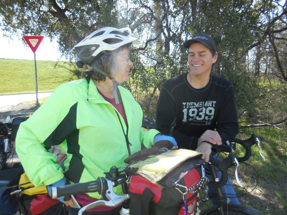
When you can not run the GPS continuously because of power limitation, and when a route has no on street indications, it's easy to miss a turn. we had done that and then turned on the GPS and done a U turn but maybe still lookedpuzzled. so this attracted the attention of Bob, a cyclist who had done the southern Tier two years ago and who works nearby. Bob cycled up to us on his Long Haul Trucker, with one Ortlieb bag on for local use, and gave us some further guidance about how to reach our short term target. In fact Bob lead us part way. He then stopped to double check his recommendation on his iPhone, and here another young man appeared. He had noticed that we were obviously on tour. Last year, he cycled from here to Montana (Bozeman). So now we had another instant cyclists party! when Bob confirmed the way, we cycled off, leaving him and the other fellow to chat. I bet they were glad they had run into each other this way.
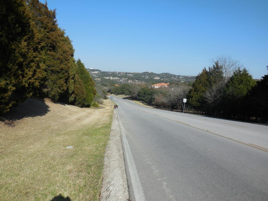
Presumably we were now starting with the Hill Country type environment because the roads went up and down and up and down. There must have been some extra up in there, because we eventually found ourselves atop a ridge with a sweeping view. From the ridge we plunged down, down, to Barton Creek, and then up up and out again. This is all suburban territory for Austin, and we passed many swanky gated housing enclaves, with stone construction and gardeners with trimmers swarming around.
We found many of the hills here really steep, and not only were walking the bikes, but I was pushing on ahead and returning to get Dodie's bike. It's not as if the route was following some one highway, but rather it was twisting from one residential type feeder street to another. Typically there was no shoulder and constant, though sedate, suburban traffic.
For a cyclist, residential areas are often deserts. There can be not so much as a gas station for long stretches, and all the land is taken up with housing. So you can get hungry, and also lack a wild camp resting spot. As 5 p.m. approached, the wild camp location started to become a priority. Official camping or a motel is just not an option here.
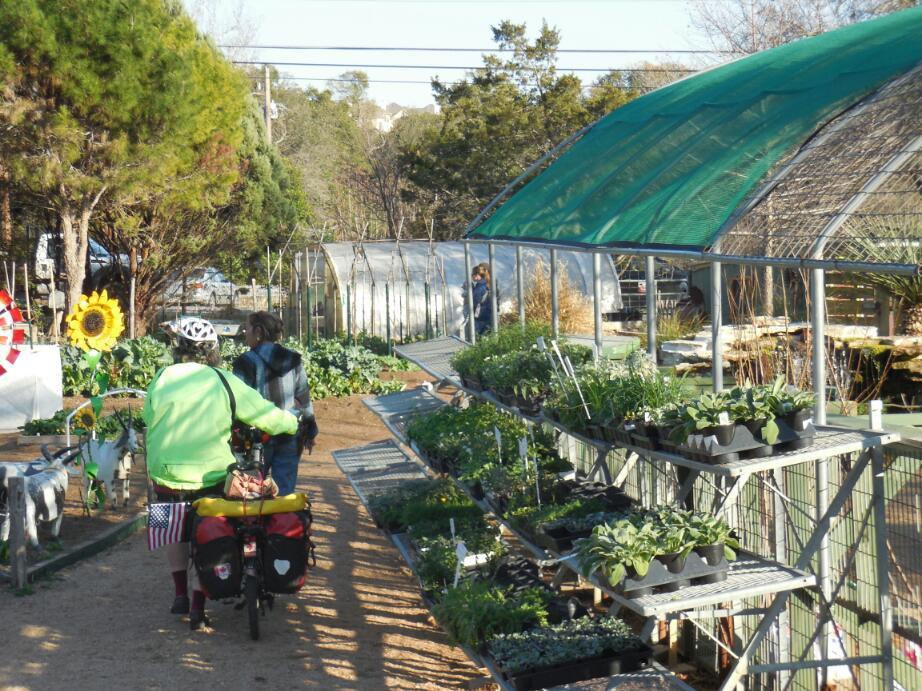
However, Dodie had a thought, and pulled into a nice looking garden centre, with plants and garden stuff displayed in a large area. We found Dana, who called the owner - John Dromgolle and presto, we could stay in an adjacent lot. Hooray, and thanks to the Natural Gardener garden centre.
We need to average just 60 km per day to make it to Tucson, but today came nowhere near. Its partly not having left our swell motel too quickly and it's partly looking around Austin a bit, but mainly the hills such as they are here are slowing us a lot. We will have to see what a few coming days bring before freaking. But again, we heard that February ends tomorrow! Aaargghh!
Today's ride: 42 km (26 miles)
Total: 3,178 km (1,974 miles)
| Rate this entry's writing | Heart | 0 |
| Comment on this entry | Comment | 0 |