May 18, 2015
Uphill all the way, and I MEAN IT!
(anybody got a PEANUT?) #PrincessBride
Since the Great Allegheny Passage (GAP) is built on a former railroad bed, it means two things: (1) it's free from motor vehicles, (2) the grade doesn't exceed 2% because the trains would not be able to obtain enough traction to pull up a large hill. Well, that's great news, since the GAP elevation means the hills are not steep, but you still can't deny the train has to pass over a 2400' gap when you're at 700'. That translates into one large, 80-mile climb at 1%. Are you ready for this? I am....
The first order of business for the day was to get two new tubes since I burned through my inventory yesterday. Thankfully, there was a Walmart 1.5 miles off route in Connellsville. I was up with the sun, packed up the tent and ate breakfast (those small chocolate-covered Tastycak donuts - I know, I'm ashamed just thinking about eating those but they are so good) and then I'm off through the town, a construction site, and into Walmart for a 20" Bell tube 2-pack. Mission accomplished.

| Heart | 0 | Comment | 0 | Link |
I backtracked to the trail starting point because I wanted to ride through the town and I'm glad I did. Connellsville has routed the GAP trail right through their town, and even sectioned off a street to provide a safe passage for riders - very impressive.
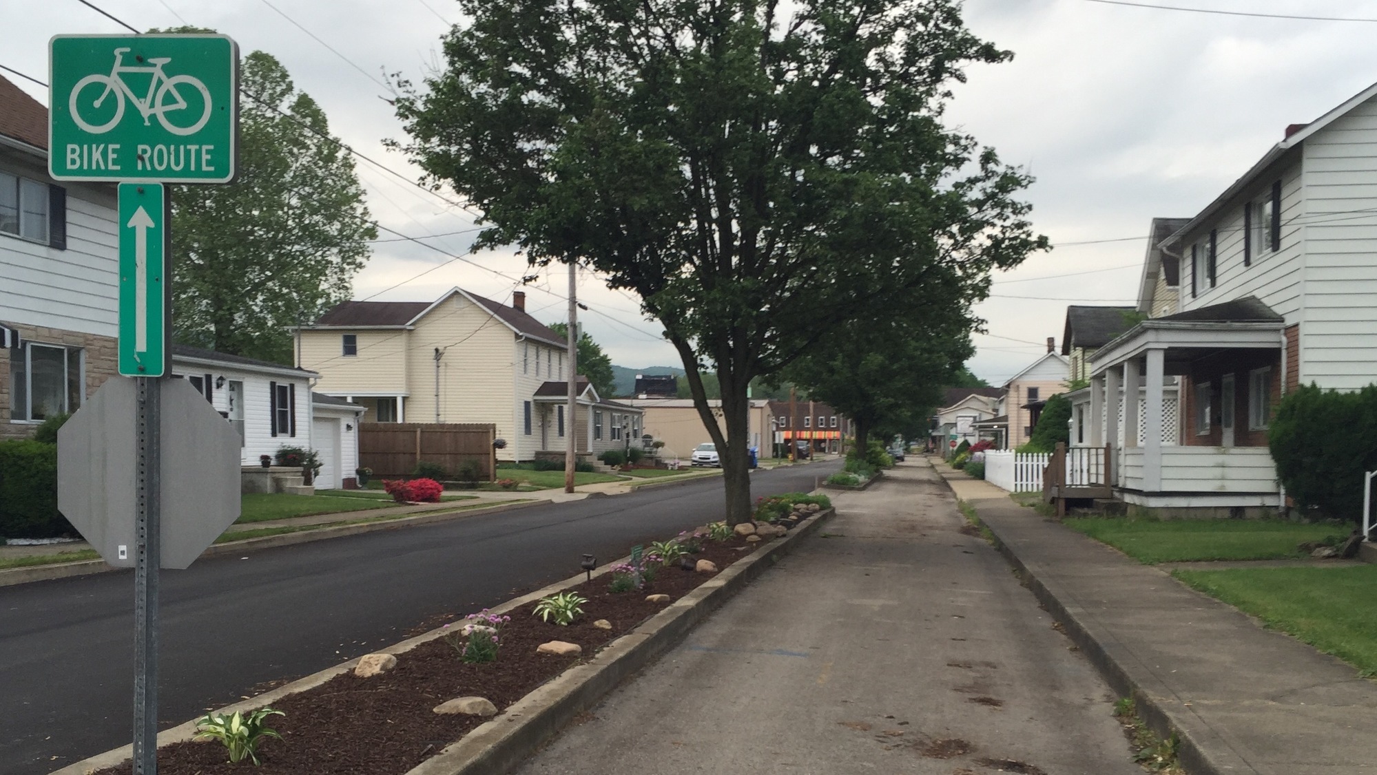
| Heart | 1 | Comment | 0 | Link |
Not too far out of town, the trail shows its railroad heritage. Since it's a coverted rail-trail, you'll use the same route the railroad used going through this area. That means the same bridges as well. They strong enough to haul tons of cargo over them back in the day, so they're strong enough to carry the weight of this cyclist and gear this day.

| Heart | 0 | Comment | 0 | Link |

| Heart | 0 | Comment | 0 | Link |
After crossing the two viaducts, it's about 15 miles through a tunnel of trees until reaching Ohiopyle. The clouds have burned off and the sun has come out, and I'm riding through miles of cool shade on this May day.

| Heart | 0 | Comment | 0 | Link |
Getting into Ohiopyle is interesting. It's not a challenge, it's a factor of the route the trail takes. You see, you cross over the Youghhiogheny (YOCK-oh-haney) river onto the Fernbank peninsula over a tall trestle, ride across the peninsula, and then over the river again into the town of Ohiopyle. Well, in between the first crossing and second crossing the river drops something like 200', so crossing one is very high over the river and crossing two is only 30' or so above. All in about 2/10 mile.

| Heart | 0 | Comment | 0 | Link |
Ohiopyle was a major resort town in the late 19th century, thanks to the advent of the railroad which brought passengers from Pittsburgh to the town for only $1 (and that was the round trip fare). They traveled to the area to see the waterfalls and to stay at the resorts that sprang up on the Fernbank peninsula. Resorts had boardwalks, dancing areas, bands, bowling alleys (bowling was a lot more popular back then), fountains, tennis courts. This was the "Disney" of the day. With the rise of the automobile, allowing people many more destinations than only those served by the railroad, the demise of Ohiopyle as a resort town was imminent. Ironically, with the rise of cycle touring, and the GAP route, Ohiopyle has been reborn into a tourist destination once again.

| Heart | 0 | Comment | 0 | Link |
For the next hour I connect the 11-mile distance between Ohiopyle and the town of Confluence, named after the confluence of two rivers, Youghiogheny and Casselman, meet. It's a short side trip into the center of town, view the historic square (still trying to figure out why it's historic), fill up my water containers at the recreation center, and then back on the trail.

| Heart | 0 | Comment | 0 | Link |
Another viaduct (yes - you'll find the GAP is full of them) brings me to the Pinkerton tunnel. During this 2015 tour, the tunnel was nearly open, meaning they still had a few more months to make it rideable. Which means I was unable to ride through this tour, and made the mile-plus detour around the mountain to connect with the trail on the other side.

| Heart | 1 | Comment | 0 | Link |
As the day grows on, I find I become increasing aware of two things: (1) I really don't like this "ergonomic" saddle, and (2) my bike is getting harder to pedal. I figure it's due to the constant 1% grade over the course of the day. Sure, the clouds disappear in the middle of the day and the sun bakes me but it's not like that I'm bristling because of it. I decide to take a break in Rockwood and get something to eat at the Rockwood shops. This is a combination opera house, eatery, and indoor "boutiqe-ery". It's a good break from sitting on the saddle and exploring another aspect of the trail.

| Heart | 0 | Comment | 0 | Link |
So I've been climbing literally ALL DAY (remember, it's that 1% grade) and the clouds start covering the sun. About three miles before I get to my destination, the skies open up and I get wet as I cross over one of the crown jewels of the GAP, the Salisbury viaduct. This is a bridge over the Casselman river valley, spanning 1908' (almost 1/2 mile). I make my way into Meyersdale and the Morguen Toole Inn - this is a business venture starting in Meyersdale to offer a restaurant, hostel, area for plays, banquet hall - just a great entrepreneurial venture. The building was originally built in the late 19th century and was the town's Morgue as well as a tool company (get it? Morgue and Toole? Morguen Toole?). I have the place all to myself throughout the night, and it's a creepy thought that I'm the only person in the building (sort of like "The Shining") - but I would stay there again during my 2016 tour - and I recommend it.

| Heart | 0 | Comment | 0 | Link |
While I'm at the hotel, I look into the drivetrain and find that the Internal hub in not aligned with the shifter. This means I have been cycling in the wrong gear all day. While I thought I was in 3rd, I was actually two off and in 5th (the lock nut on the cable was slipping). So when I felt it was really tiresome pedaling and I wasn't getting anywhere, I was in fact struggling in a higher gear. Loved now it was fixed thank you very much.

| Heart | 0 | Comment | 0 | Link |
Tomorrow is another day.
Today's ride: 66 miles (106 km)
Total: 152 miles (245 km)
| Rate this entry's writing | Heart | 0 |
| Comment on this entry | Comment | 0 |