December 4, 2014
The Middle Road East: Luintra to Pobra de Trives
Shortly after waking I look at the watch and see 9.35. It's later than I thought and to think in Summertime I would be on the road at least an hour at this time. I should be making an effort to wake earlier, but at this time of year it is still dark at eight o'clock; besides, I don't much like the sharp cold early on, preferring to wait for it to warm up a bit before moving.
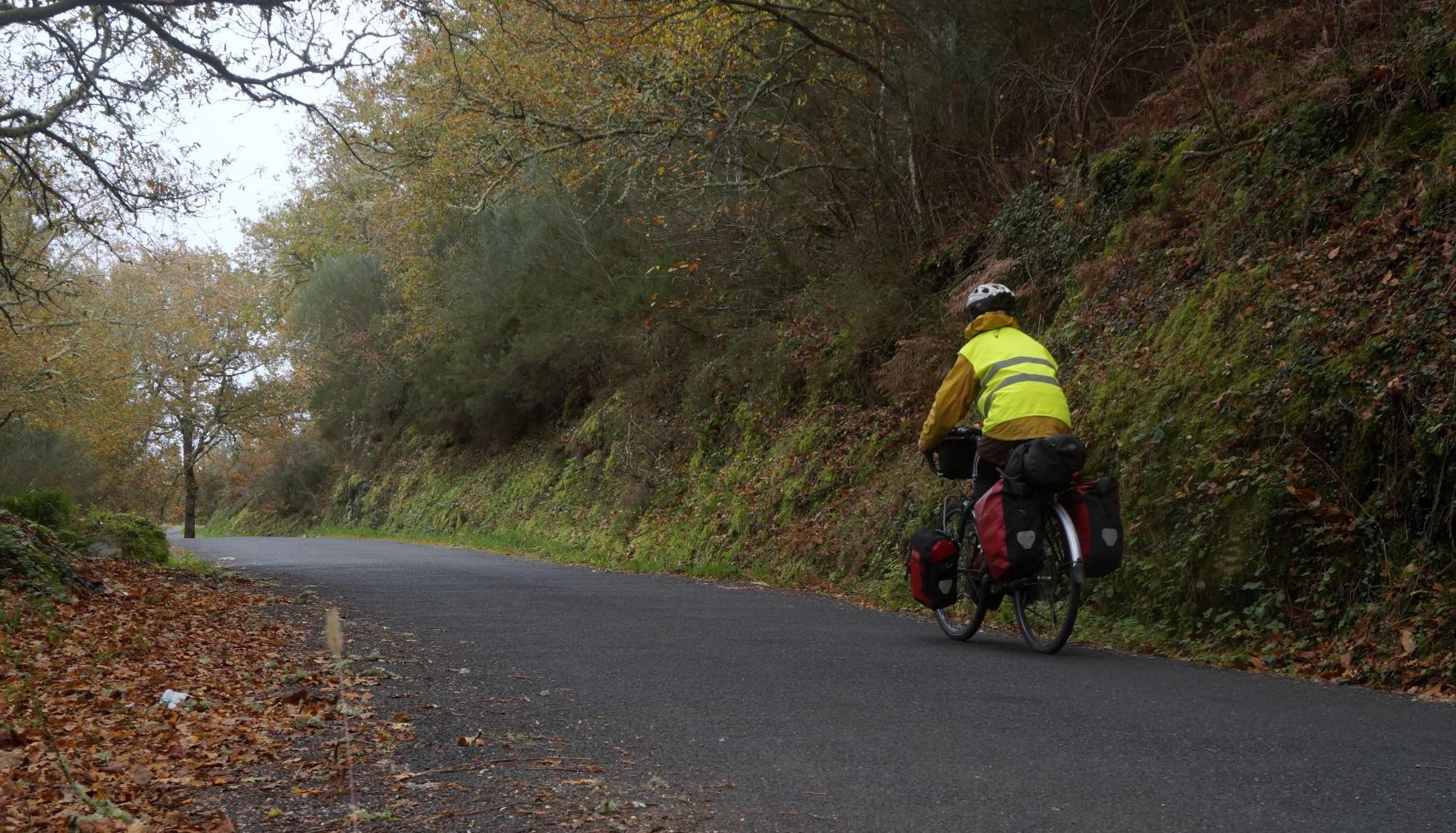
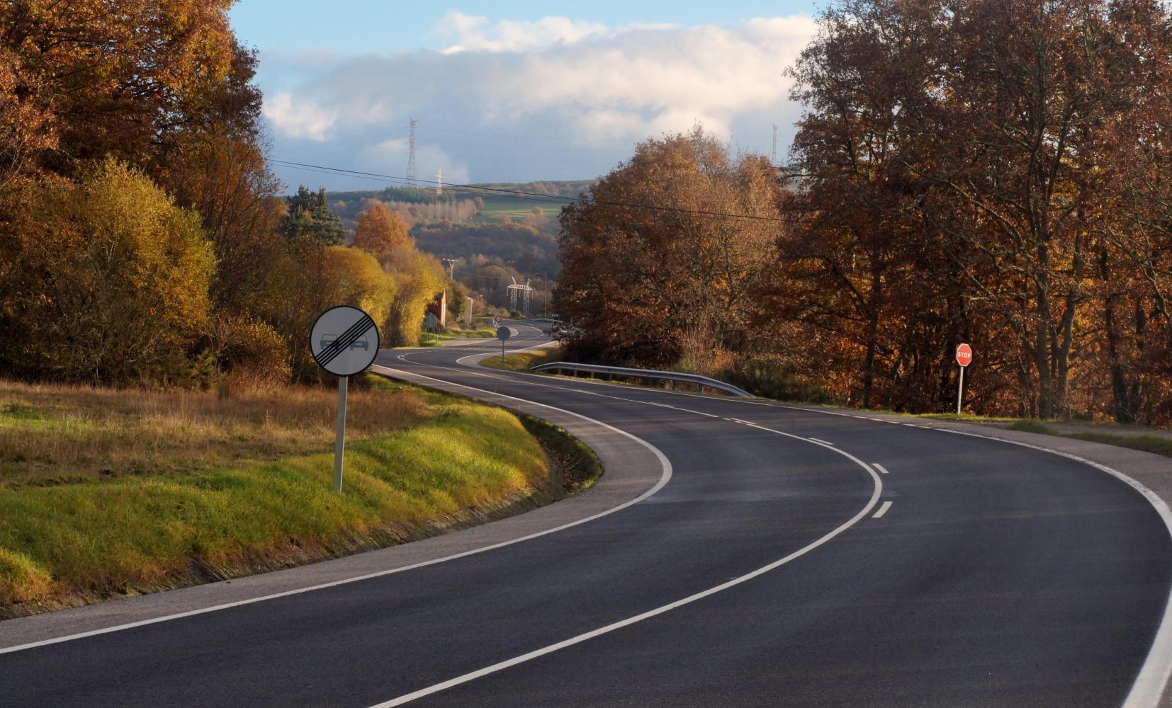
It is a pale bluish-white morning, the road a narrow band of asphalt through rust brown and yellow-leaf deciduous trees with fallen leaves littering the verges. There is only an occasional passing car as the way gradually twists up and around, passing through a few places of no more than a few houses. Its a longer way to Luintra than I thought, but once there, I find a sizable village with cafes, grocery shops and a bank. And a choice of roads spanning out from a small square onwards. There is only one road in the Michelin map, so I'm unsure which road will take me across to the OU536, south of here on the map and going east along the Sil valley.
The road on the right is signposted Ourense, so I can rule out going that way. Left is to "Posada do Sil" some kind of restaurant or hotel which is marked in the map near the two squiggly parallel-line road on the map and looks most likely the road I want, but there's also a road in the middle straight on with a place not on the map signposted, looking equally right. Just then a sympathetic woman supposedly seeing me looking confused asks where I'm going. I point at the left turn to Posada do Sil and use the map to better explain, asking will it take me out on the OU536. She pulls a face, which I interpet as no, or the road is bad, then says the middle road is the way I want to go, saying something about a religious pilgrim site "....Roca" something. I get the impression she thinks I am going there and no further.
When she leaves me I'm still of a mind that the road on the left is most probably the way I want as what do non-cycling locals know, nevertheless take the middle road fearing if I go left the road could come to a dead-end after Posada do Sil and I'd have a wasted day doubling back.
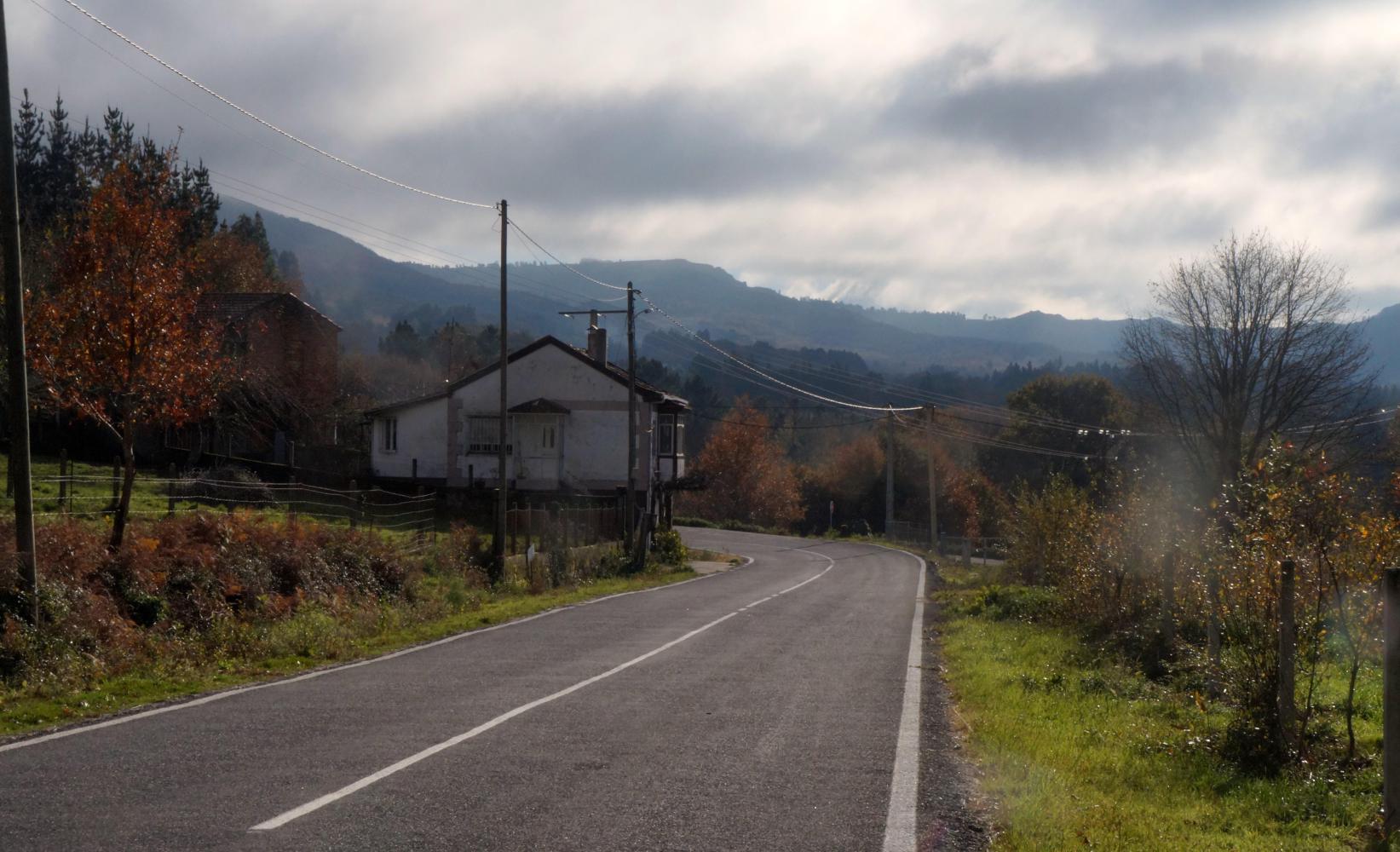
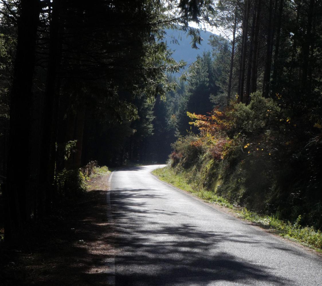
The road on from Luintra drops down through pine forest, then towards pale green valley with dark pine wooded hills, yellows and browns of broadleaf woods and hedges. There's a few more splits in the road with a choice of left or right, but I take whichever road looks most travelled. For a while I feel lost as the road goes on and on, until eventually I come to a tee with OU536, where I turn left.
The sign says: Ponferrada 149 km, which I'll reach tomorrow when I should feel like I'm making progress towards Santander, as the aforesaid town is a fair way east on the map. The map also shows two arrows pointing towards each other on this road, indicating an incline ahead with a nine-hundred beside the theatrical peak, the altitude.
When I get as far there's first a smaller ascent to over seven-hundred metres, followed by a chilling descent back down to much the same level as the valley beforehand to start the longer climb.
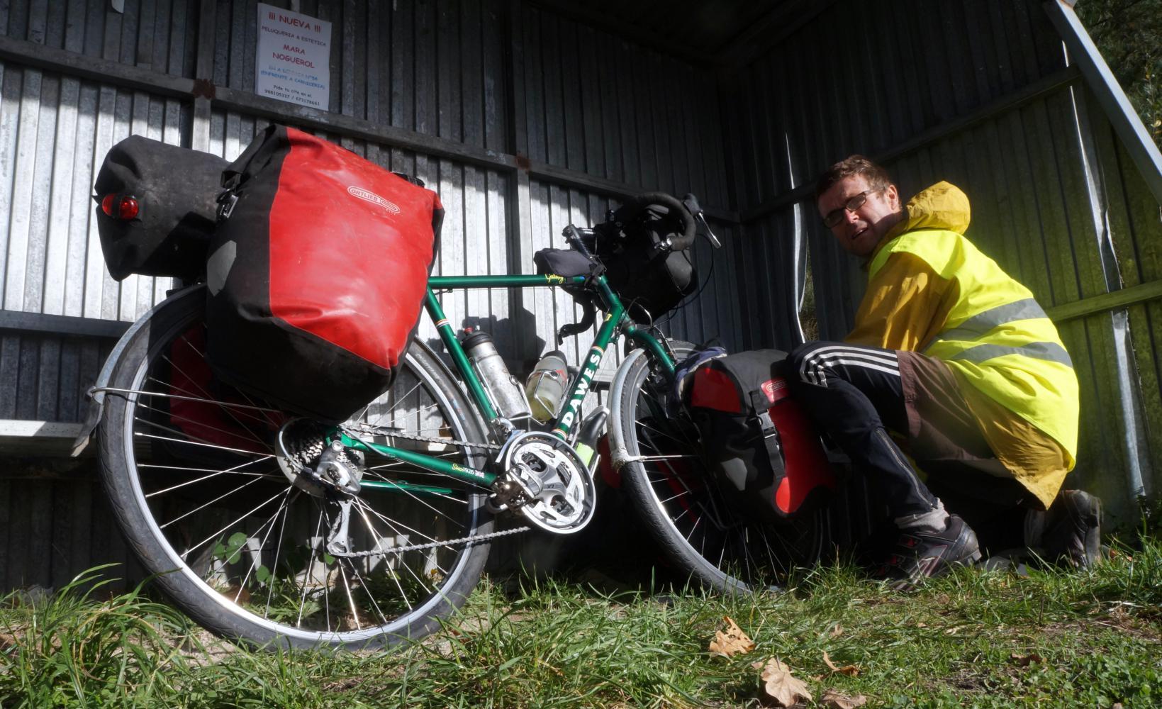
It is time to stop for lunch as I near the top, but the landscape is very exposed up here and although climbing I can feel the cold. I can imagine how cold I'll get sitting for fifteen to twenty minutes. Then shortly after cresting the hill there's a restaurant with a menu of the day for ten euros board by the roadside. This will do to get in out of the cold.
I lean the bike against railings and enter. There is a bar the length of the room and half a dozen locals sat at the bar pause briefly to look as I enter before resuming in conversation. A door to the side has restaurant over it and I open it and go through to a dinning room; tables decked in white cloth. There is one other diner, an elderly man sat with a coffee and the lunchtime news is on the TV.
I order soup as starters and "cerdo de casa" main coarse and a beer to drink. The pork when it comes is fried and served with chips; nothing special, but it'll keep me going until evening.
I forget how cold it is. Looking towards the window, it is sunny out. Two locals stand outside the door smoking and the old man that left slowly on his feet is now being helped into a car by a middle-age couple. When I've paid the bill at the bar next door and open the door and go out, it is like stepping into an ice-box.
I grit my teeth descending and somehow endure the chill until the road levels into a valley where I pass a left turn signposted "Posada do Sil" and realise the left turn back in Luintra would've taken me here more directly.
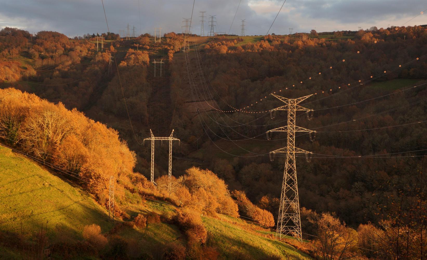
Although it is getting dark early this time of year, on days like this with broken cloud and lots of clear sky, sunset is slow and lingering. All afternoon on the road onward the sun hovers low over the hills and approaching dusk tints fluffy clouds crimson pink and the Autumn browned hillside opposite golden. I descend into a narrow valley just as a dark shadow is rising up the valley side and the sun finally disappears behind the hill. The road follows the valley up a rise into Pobra de Trives, a place with a cobblestone main-thoroughfare and old town narrow alleyways. I stop at a Dia supermercado to buy a few extras, comfort foods such as a can of beer to quench my thirst when I stop, cheese and olives to eat with wine later.
It is dark when I've packed my purchases in the pannier outside. I set off again wearing my hi-vis vest and rear-light flashing. The road ahead goes steeply downhill to a switchback bend by a stream; on the inside of which, there's a loop of old road with old stone bridge; camping possibilities. I ride off and using my bright head-torch have a good look around for the best spot. No, the garden in front of an old house isn't level and cows have access as there are cowpats. And the laneway from the bridge into a field also has cowpats. I don't want an early wakeup by deep breathing curious bovines. Over on the old road approach to the bridge there's a screen of bushes which will hide me from passing cars; furthermore there's a build-up of mulch and grass on the old road that'll prove more comfortable than lying directly on old tarmac, so I pitch the tent here.
Today's ride: 77 km (48 miles)
Total: 9,109 km (5,657 miles)
| Rate this entry's writing | Heart | 0 |
| Comment on this entry | Comment | 0 |